


Randy Jackson, his wife Marie and I arrived at Duncan just as our train was reversing into the boarding area. We parked and I took a picture of our train.

Our train was ready to take us south to near Lordsburg. I again chose the lounge-observation car "Calumet Club" and our train consisted of San Luis and Rio Grande B39-8E 8537 and B39-8E 8522, dome 510 and "Calumet Club" 3378.
Clifton Branch HistoryThe Clifton Branch runs from Lordsburg, New Mexico to Clifton, Arizona. It was started as a narrow gauge railroad by the Clifton & Lordsburg Railroad in 1883 and reached the Arizona State Line. It was built to Guthrie in 1883 as the Clifton & Southern Pacific Railroad. The line from Clifton to Guthrie was built by the Arizona & New Mexico Railway in 1884. In 1901, the entire line was rebuilt to standard gauge by the Arizona & New Mexico Railway. On January 1, 1922, another SP subsidiary, El Paso & Southwestern, acquired the line through a merger with the Arizona & New Mexico Railway. Later Southern Pacific took over the line and had it right up to their merger with the Union Pacific on September 11, 1996. On December 10, 2007, the Arizona Eastern acquired the railroad from MP 1150 to Clifton. The Arizona Eastern also then got trackage rights on the Union Pacific between Bowie and Lordsburg to connect the two lines they operate over.
The Trip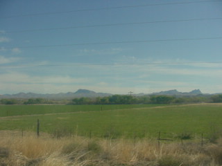

As we left Duncan on our way south toward Lordsburg, the area was agricultural.

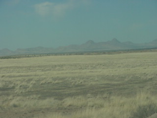
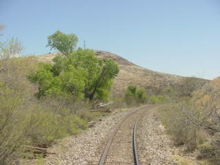
The train soon returned to the desert vistas.

Bob Cox, the La Plata, Missouri station caretaker, his wife Amy and his father.


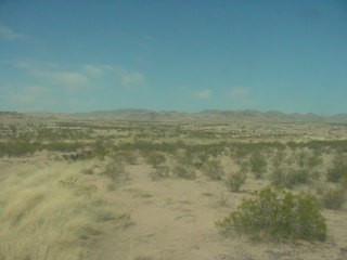


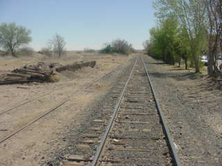
Desert views along our route this morning.

The train crossed into New Mexico at MP 1175.3.
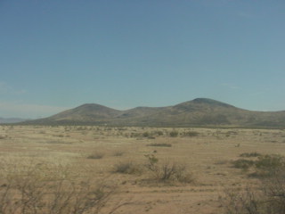
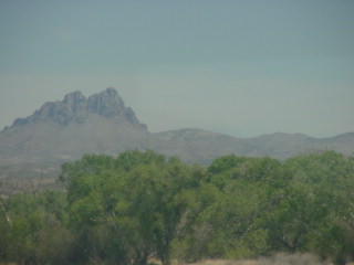
The Stean Mountains off to the southwest.


An unloading loop as we neared Lordsburg.

A windmill brings water up to the surface in this desert environment.
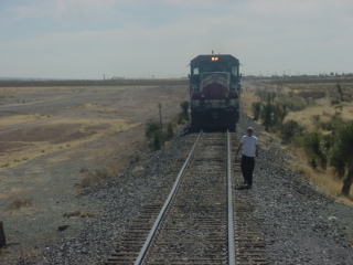
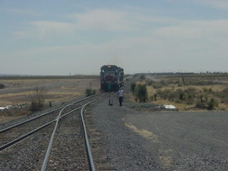
Our engines cut off and another set of engines then pushed us passed the switch, so they could be on the other end of our train in order to continue to Clifton.

A westbound Union Pacific went through Lordsburg while we were there.

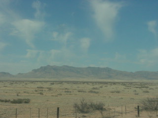
An interesting lone yucca plant at our furthest point south this morning.

The motive power that assisted us this.


Views on our return to Duncan.

Green means we were near Duncan.
A loading dock in Duncan.

The old station foundation. The Duncan area was first known as Purdy. When the railroad came through in 1883, the stop across the Gila Rivera from Purdy was named Duncan. Because of this, the Purdy post office was closed and moved to Duncan. Reportedly, Duncan remaining a hiding place for area outlaws for many years due to its out-of-the-way location.

The Duncan station sign.

Leaving Duncan.


Views near Duncan.

A ranch home near Fox Siding.

Fox Siding at Milepost 1186.9. This area was also known as Gila.

The first view of the Gila River which we would be following north.

Another of the small bridges along our route today.

Another windmill along our route.


Passing by some unique rock outcroppings.

Gila River.

Just me enjoying the fresh air at the rear door as I take another picture looking back.

Gila River at Milepost 1205. It is a 650 mile long tributary of the Colorado River, located in both New Mexico and Arizona. It flows southwest and then west into Arizona then all the way across the state. After the Treaty of Guadalupe-Hidalgo in 1848, the Gila River served as part of the border between the United States and Mexico until the Gadsen Purchase of 1853 extended American territory well south of the Gila.


Looking back.

Crossing a small creek.

The Gila River.


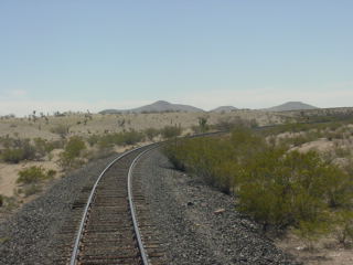
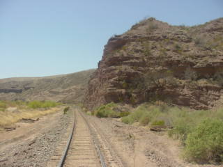
The train passed through this beautiful canyon.
There were a few large trees along our route.


Two views of the Gila River.


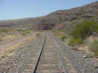
The ever-changing views along our route.

Another curve.

The Gila River.


More curves.


The Gila River.


The old and new US Highway 191 bridge at Coronado, Milepost 1203.5.


