In 2020 the Iron Belle Trail was extended another 3 miles
east from Bessemer to Ramsay, MI. All photo on this page are from Sept
21st and 22nd, 2020.
|
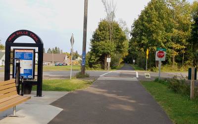
MP 6.9: Moore Street trailhead in Bessemer. The brown building on the
left is the City Hall and Library.
|
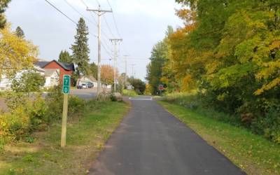
MP 7.0: The trail parallels a city street for a few blocks before leaving
town.
|
MP 7.5: Heading out into the wooded area of the trail. |
MP 7.7: A truck crossing. Maps show "mine tailings" not far
to the right, possibly being mined for current construction usage.
|
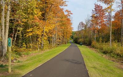
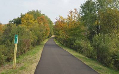
MP 8.5: A long gentile downhill section in Fall color.
|
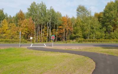
MP 8.8: The trail crosses Anvil Road. The Anvil Mine was the easternmost
mine served by the SOO and their rails stopped in this area.
|
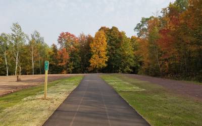
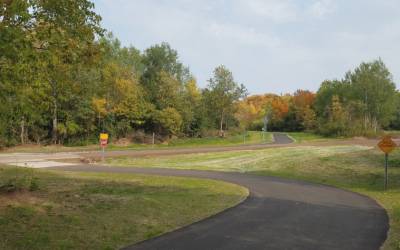
MP 9.5: We just passed the water reclamation plant and heading back
into a wooded section.
|
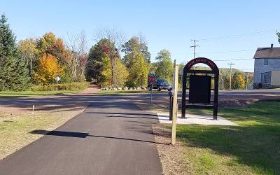
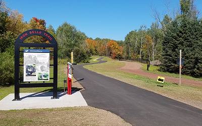
MP 9.9: Ramsay Trailhead looking East. Snowmobile trail-2 [ex-CNW]
continues East crossing the historic keystone arch bridge near the green tree.
|
MP 9.9: Ramsay Trailhead looking West. Snowmobile Trail-2
is on the right.
|


