


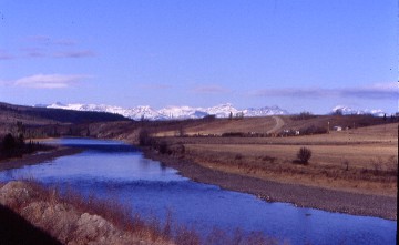
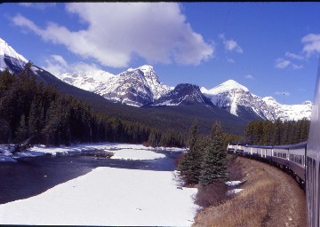
The day dawned clear as we departed Calgary along the Bow River and into the Canadian Rockies. When I looked out my window this morning and was greeted with clear skies, I knew I was in for a fantastic day of views and picture- taking aboard the Rocky Mountaineer.
This is the reason I made the round trip on the train. Cloudy going east, clear going west. Since I knew where everything was now, I just sat back and only photographed certain vistas.
As I photographed one of the peaks, a woman said "I only get three or four good pictures with each roll of film that I shoot".
Ghost Lake Reservoir, which lies in the foothills of the Rocky Mountains at an elevation of 3,898 feet and is lined on the north shore by Highway 1A. Trans-Canada Highway passes a short distance to the south. It was formed in 1929 with the completion of the Ghost Dam and was developed on land leased from the Nakoda first nations by Calgary Power Ltd. The lake and dam are primarily used for power generation. The Ghost plant generates an average of 173,000 megawatt hours each year. Calgary Power changed its name to TransAlta Utilities in 1981.
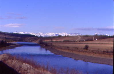
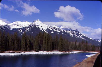
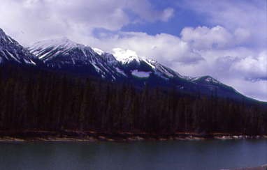
The Bow River with the Canadian Rockies ahead.
"How many good pictures do you get per roll?" I showed her my camera and replied "Thirty-three or thirty-four excellent pictures with this camera." I think she walked off realizing that she needed to buy a new camera.
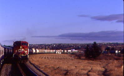
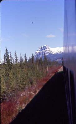
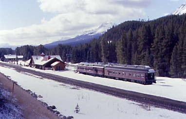
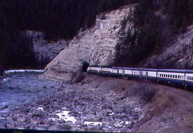
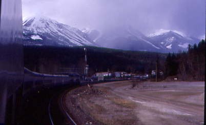
Our train near Ozada.
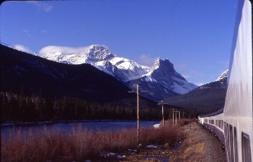
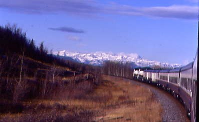
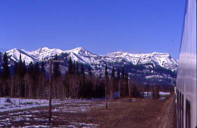
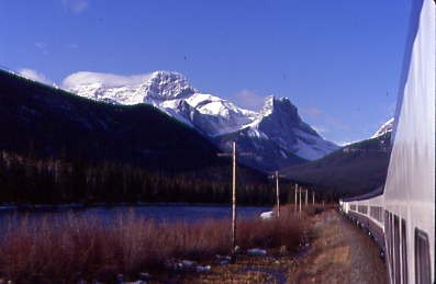
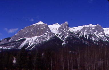
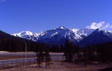
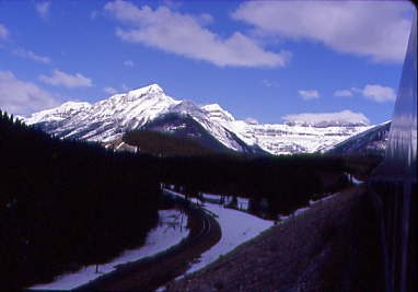
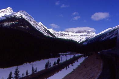
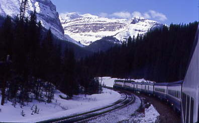
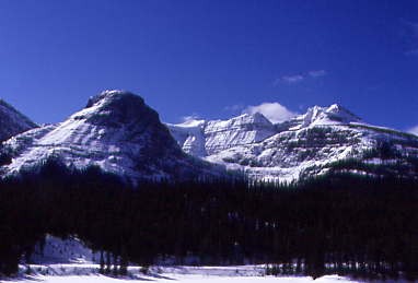
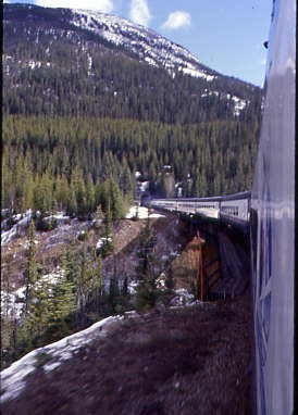
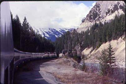
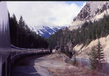
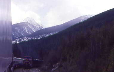
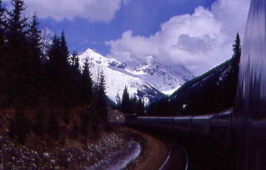
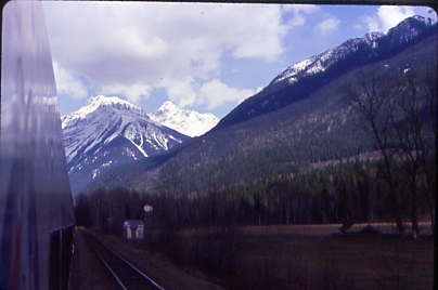
The Canadian Rockies, full speed ahead!
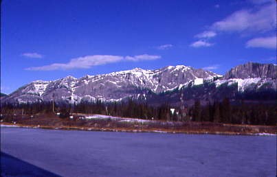
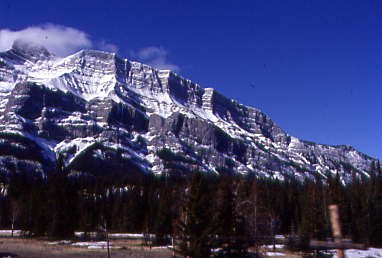
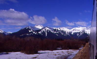
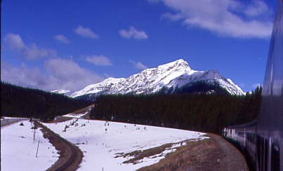
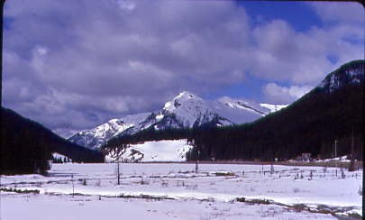
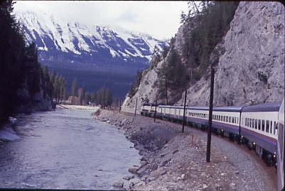
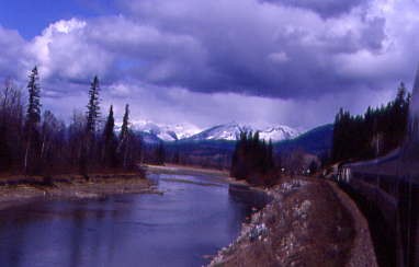
A beautiful view ahead of our train.
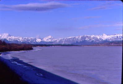
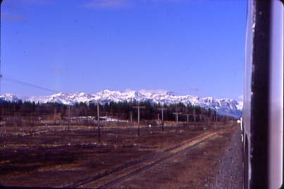
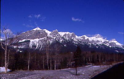
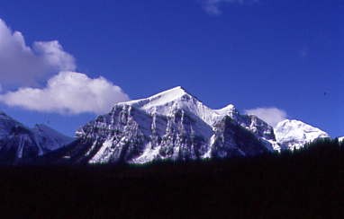
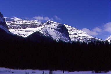
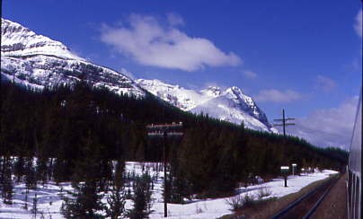
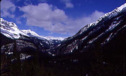
Peaks to the northwest.
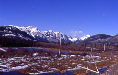
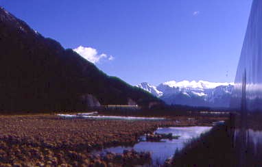
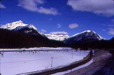
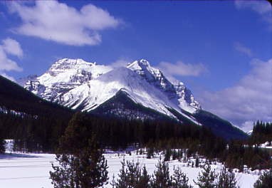
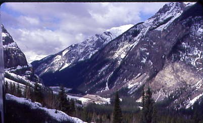
A very beautiful and colourful scene.
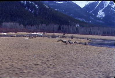
Elk near Banff.
Pigeon Mountain, elevation 7,854 feet, is located in the Bow River Valley of Kananaskis Country. Its parent peak is Skogan Peak, 3.1 miles to the southeast. Pigeon Mountain can be seen from Highway 1. This mountain was named Pic de Pigeons in 1858 by Eugene Bourgeau, the French-born botanist while on the Palliser expedition, for flocks of pigeons seen near the mountain. Since pigeons are a species that has been introduced and would not have been present in the Bow Valley in 1858, it is unclear what species of bird Bourgeau observed. The mountain's name was officially adopted in 1956 by the Geographical Names Board of Canada.
A stunning Mount Rundle, elevation 9,762 feet, which overlooks the towns of Banff and Canmore, Alberta. The Cree name was Waskahigan Watchi or house mountain. In 1858, John Palliser renamed the mountain after Reverend Robert Rundle, a Methodist invited by the Hudson's Bay Company to do missionary work in western Canada in the 1840s.
What a fantastic view!
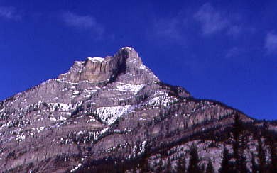
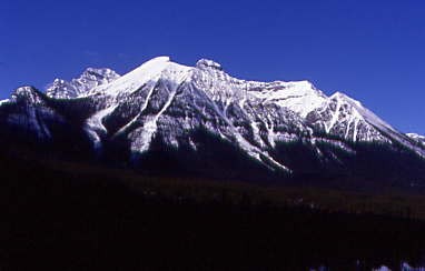
A peak to the north.
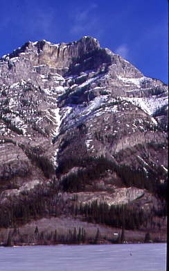
A peak to the south.
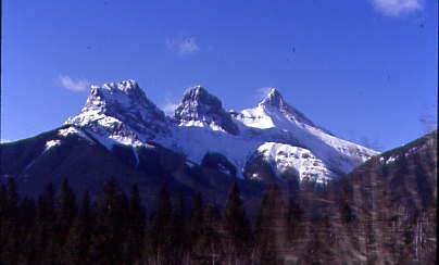
The Three Sisters, known individually as Big Sister, Middle Sister and Little Sister. In 1883, Albert Rogers, a nephew of Major A.B. Rogers, was the first settler to name the mountains when he saw the sides of the peaks covered in snow, resembling three praying nuns. Initially called the Three Nuns, they were later renamed the Three Sisters. This last name first appeared on George Mercer Dawson's 1886 map, which apparently found the name, and was more appropriate in a spirit of Protestantism. Another story is that the first superintendent of Banff National Park, George Stewart, named it after his three daughters: Frances, Olive and Grace.
Big Sister is 9,632 feet and was first ascended in 1887, Middle Sister is 2,769 feet and was first ascended in 1920 and Little Sister is 2,694 feet and was first ascended in 1925.
Peaks to the south.
More peaks ahead on the left.
More peaks to the south.
Impressive to the north!
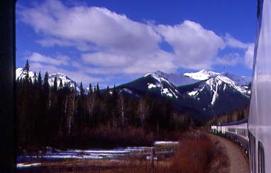
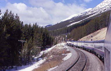
Look at what was ahead of our train.
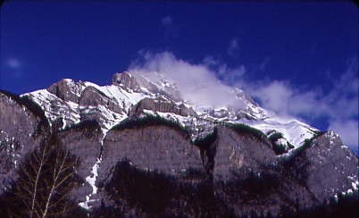
The clouds really added to the scenes.
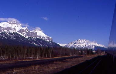
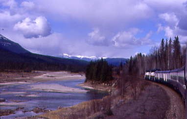
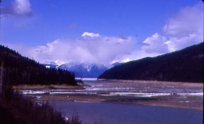
The valley floor our train travelled through as it paralleled the Bow River.
Another forward view. It does not get any better than this!
Vegetation in one of the lakes.
Our engineer must really love his job with the ever-changing views on each trip.
The Bow River runs through the most populated region of Alberta, intersecting cities such as Banff, Canmore, Cochrane and Calgary. It is also one of the most managed rivers in the province, with numerous dams and reservoirs located along the river, supplying water for hydroelectricity, irrigation, and municipal and industrial uses. The river, as well as its tributaries and reservoirs, is also used for numerous recreational activities including world-class sport fishing. Winter snowfall at the Rocky Mountain headwaters supplies the majority of annual flow on the Bow River; however, streamflow can vary considerably from year-to-year and is subject to frequent periods of drought.
The Bow River begins at Bow Lake and is fed by the Bow Glacier in Banff National Park, and flows southeast past Lake Louise and Banff, where it is joined by the Spray River before continuing east. Once exiting Banff National Park, the Bow flows past Canmore and is joined first by the Kananaskis River, then the Ghost River at Ghost Reservoir. The Bow flows past the Bearspaw Dam, through Calgary, is joined by the Elbow River before first shifting south, then runs east once it exits Calgary. It continues east across the prairies, is joined by the Highwood River and shifts southeast past the Bassano Dam. The Bow ends at the confluence with the Oldman River, and these two rivers combine to create the South Saskatchewan River, which ultimately flows into Hudson Bay.
The first European to explore the Bow River was David Thompson in 1787–88. Attempts were made to set up fur trading posts, but inadequate resources meant they closed quickly. Early European settlement centered around farming and ranching in the Bow Valley and commerce in Calgary. The fertile soils and lengthy growing season was conducive to farming oats, barley, wheat, and livestock, and irrigation structures were soon built. The Bow River provided food and a transportation route for settlers and merchandise. Calgary was established as a fort in 1875, and the Canadian Pacific Railway was completed to this point by 1883 — an event that facilitated settlement and the transportation of agricultural products. With European settlement came diseases, and several epidemics decimated First Nations populations in 1781, 1819-20, 1837-38, and 1869-70.
Trees along our route.
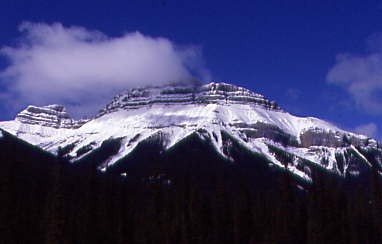
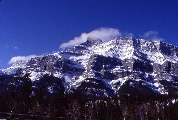
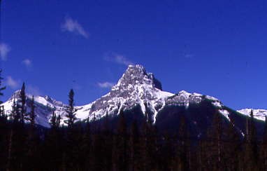
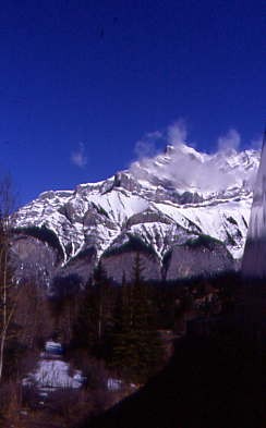
The mountain with the clouds streaming off it was really a unique view.
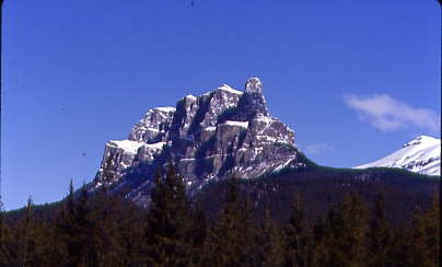
Castle Peak as we approached.
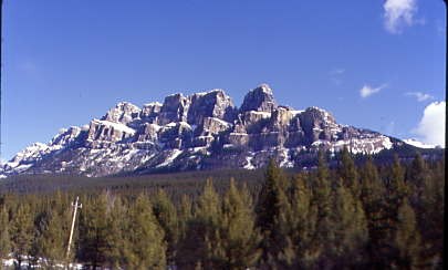
A few minutes later, a side view.
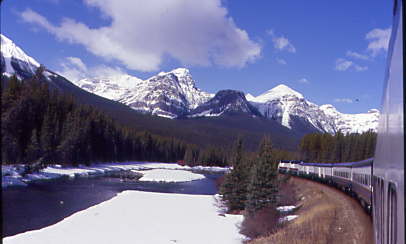
Our train rounded Morant's Curve on this beautiful day.
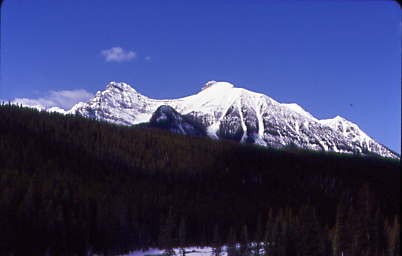
The peaks kept my interest the whole morning.
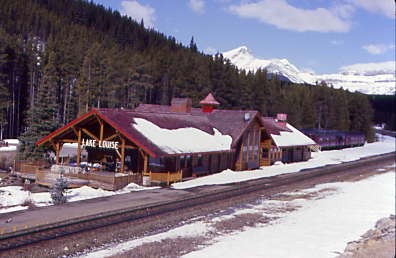
The station at Lake Louise. Historically served by the Canadian Pacific Railway and VIA Rail, it is now a stop for the Rocky Mountaineer and houses a restaurant. The station is on the Canadian Pacific main line near Lower Lake Louise, downhill from the Chateau Lake Louise. It was declared a heritage railway station by the federal government in 1991 and starting in 1909, it was the first of six mountain stations built by the Canadian Pacific in a rustic log building design, consistent with how the railway marketed the region as a wilderness tourist destination.
The older depot that the 1910 building replaced continued to be used by the CPR for other purposes then they donated it in 1976 to Heritage Park Historical Village in Calgary. The depot was moved to the park and restored to the era when the Lake Louise village was called Laggan.
Canadian Pacific dining car "Killarney", ex. "Tuscan Club" 1993, exx. Greystone Equestrian Club" 1989, exxx. Paul Weber 1986, exxxx. Canadian Pacific official car 2:2 1968, exxxxx. Canadian Pacific official car "Loch Lomond:2" 1958, exxxxxx. Canadian Pacific official car "Mount Royal" 1924, exxxxxxx. Canadian Pacific official car "Loch Lomond 1919, nee Canadian Pacific official car "Killarney" 1910 built by the railway in 1906; and Canadian Pacific official car "Laurentian", ex. ADWX 03 1993, exx. Canadian Pacific official car "Norris R. Crump", exxx. Canadian Pacific official car "Laurentian", exxxx. Canadian Pacific official car "Craigellachie" 1948, exxxxx. Canadian Pacific official car "Laurentian" 1947, nee Canadian Pacific 10-compartment sleeper "Glen Ewen" 1945, built by Canadian Car and Foundry and the railway in 1921.
More fantastic peaks.
The line separation west of Lake Louise.
Impressive!
Our route continued to climb towards Kicking Horse Pass, followed by our descent through the Spiral Tunnels to Field. The Rocky Mountaineer is a first class operation and I would recommend it to anyone who would like to see world- class scenery.
Approaching the top of the pass.
Another beautiful peak.
Near the summit of Kicking Horse Pass.
We reached Stephen siding.
Our train at the west switch of Stephen.
Kicking Horse Pass.
The summit ridge of the Canadian Rockies and Continental Divide.
Looking back from where we had been.
Looking north where the 144 mile Icefields Parkway, or Highway 93, is located.
Looking west down the mountain towards Field.
Exiting the Lower Spiral Tunnel.
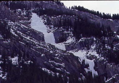
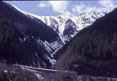
Ice falls on the west side of Kicking Horse Pass.
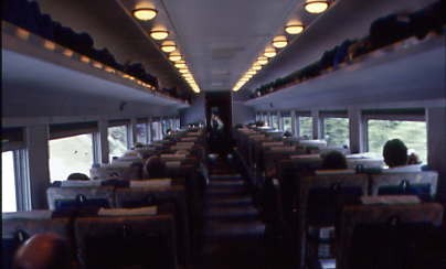
The interior of my coach.
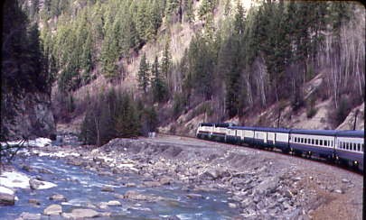
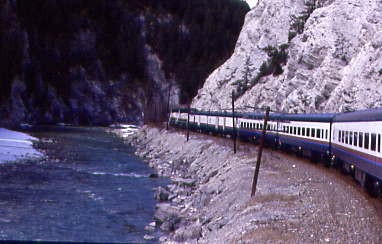
The westbound journey through the Kicking Horse River Canyon was even more enjoyable a second time, and with the clear skies the peaks west of Golden were photographed. I love an open top dutch door!
Curving into Golden.
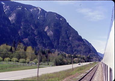
Rolling west along the Columbia River.
We were moving along quite nicely until we had a yellow approach signal near Redgrave and a red-over-yellow at the switch to enter the siding.
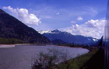
The Columbia River and more peaks.
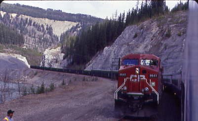
Canadian Pacific 9644 West was stopped on the mainline at Redgrave.
Entering Calamity Tunnel at Milepost 58.3. Our crew then announced that there was a split rail ahead and that Canadian Pacific had a crew working on it so our we may be delayed an a hour or more. This type of delay was new in my 609,000 plus rail miles. During all delays, I had a routine to listen to music and do word fill-in puzzles, which always helped to pass the time and our attendant Crystal served lunch. We resumed our westward journey after only an hour and twenty minutes, which was not too bad.
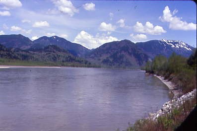
The Columbia River at Beavermouth.
Canadian Pacific 9611 East at Rogers. I rode the vestibule all the way to the top of Rogers Pass.
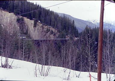
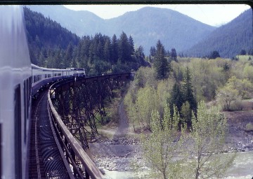
Stoney Creek bridge through the brush.
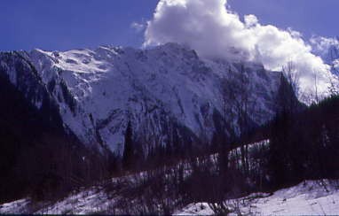
Mount Tupper, elevation 9,199 feet, is located twenty-three miles west of Golden in Glacier National Park. Part of the Selkirk Mountains, it was formerly named Hermit Mountain until renamed in 1887 in honour of Sir Charles Tupper when he was minister of Railways and Canals in Sir John A. Macdonald's cabinet during the siting and construction of the CPR line through the Selkirk Mountains, and later Prime Minister.
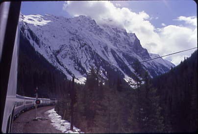
Looking back as we climbed Rogers Pass.
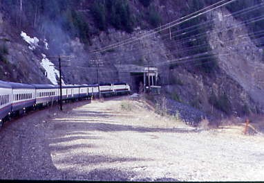
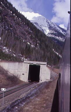
Entering the Connaught Tunnel, during which I listened to music. I had hoped that we would be run through the Mount Macdonald Tunnel but that was not to be.
Exiting the tunnel.
Passing Mount MacDonald Tunnel.
Descending Rogers Pass.
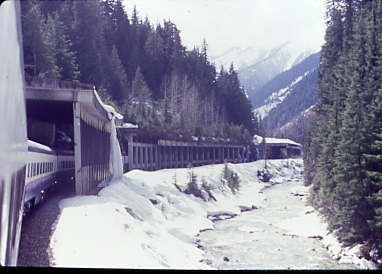
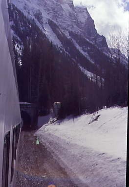
Entering a snowshed.
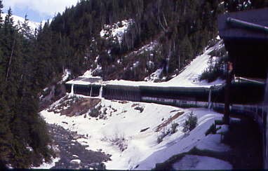
Exiting the snowshed.
Snowsheds are very common here, both over the tracks and over the highway.
Our train continued down the west slope of Rogers Pass.
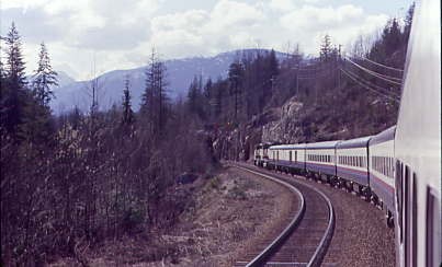
Rolling west towards Revelstoke.
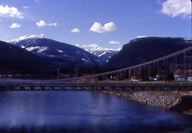
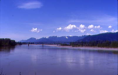
Crossing the Columbia River west of Revelstoke. After a crew change, I was on my second new piece of trackage of the day as we were routed on the westbound track and I wondered if we would travel the westbound line up Notch Hill.
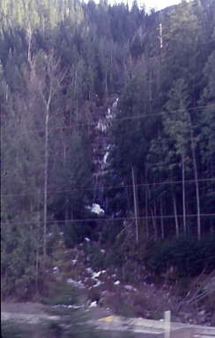
Kay Falls and a lucky shot at Milepost 22.
Sicamous, the houseboat capital of British Columbia. The Secwepemc (Shuswap) First Nations have long inhabited the shores of Shuswap and Mara lakes, evidenced by the presence of pit-houses dating back over 3,200 years. An annual potlach was held at the mouth of the Eagle River. In the 1840's, an encampment existed west of the narrows on the slopes later called CPR hill. From the early 1820s, they brought furs to trade at the Hudson's Bay Company fort at Kamloops. By the 1840s, an HBC outpost opened at the mouth of the Eagle River. For centuries, the river had provided an abundance of salmon, which also created a trade in dried fish. A trail on the north side of the river was used up to the 1930's to reach tracts of wild blueberry bushes.
"Schik-mouse", recorded in 1865, was the earliest known spelling of the First Nations word for Sicamous. The word describes the narrows, but the specific aspect has remained unclear. Suggestions have been "place cut through", "the narrows", "stream winding round a hill", "river circling mountains", "in the middle", and "narrow" or "squeezed in the middle". The Sicamous Channel is the only inland port in the province that does not freeze during the winter.
Running along the Salmon Arm of Shuswap Lake where the sun was shining brightly.
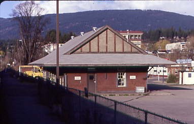
The Salmon Arm Canadian Pacific station built in 1913. A stop was made to bring on food, although there was nothing I could eat or that appealed to me.
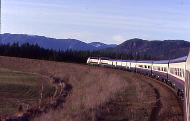
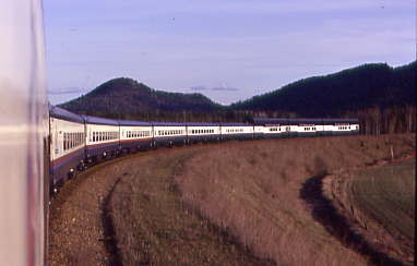
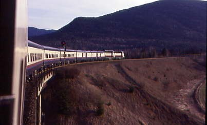
I enjoyed our run over Notch Hill on the westbound line, so did indeed ride this piece of new trackage. The line's great looping horseshoe curve gave me perfect pictures of our train, as well as being less calories than what the other passengers ate. Our car attendant Crystal informed us that tomorrow, there would be a contest for the best poem about a salmon after she told us about the life span of a salmon hatched in the Adams River.
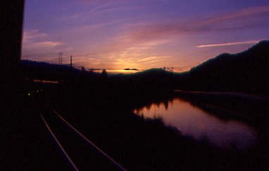
Sunset along the South Thompson River as we approached Kamloops.
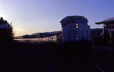
What an excellent day I had and was a happy, albeit tired, train rider as we arrived in Kamloops in the twilight a little late. There was no Two Rivers Junction Dinner Theater tonight due to our lateness of our arrival so I was glad I went two night ago. This night's stay was at the Thompson Hotel downtown then I went to Dairy Queen for dinner, followed by the casino, where I played five dollars of quarters in the slot machine and walked out with eleven. I returned to my room for a good night's sleep, at least that is what I thought I was going to have.
Rocky Mountaineer 4/20/2001I twisted and turned most of the night as I had come down with the flu. Luckily I always carry some over-the-counter relief so I took some and managed a couple good hours then awoke and rode the bus back to the train where these last few early mornings caught up with me and once on board, I laid across the two seats and fell asleep until we departed.
Crossing the South Thompson River.
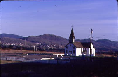
St. Joseph's church just north of Kamloops.
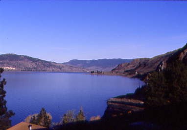
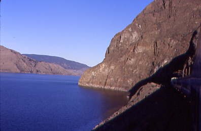
Kamloops Lake. Once on the move, the fresh cold air of the vestibule was what I needed to wake up. We slowly moved back up the branch line to the Canadian National main line and turned west, as today was going to be on Canadian National tracks. Today was select-a-picture day until the Fraser River Canyon so I sat in my seat for the most time in the last four days.
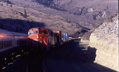
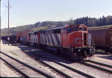
Canadian National 5420 East at Savona.
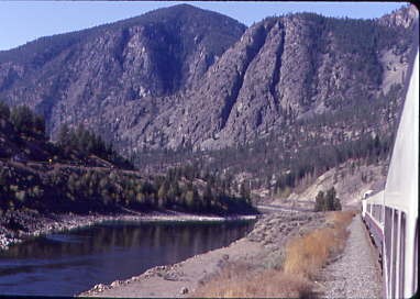
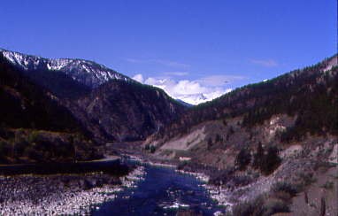
Entering the Thompson River Canyon.
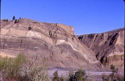
Interesting rock strata along the Thompson River.
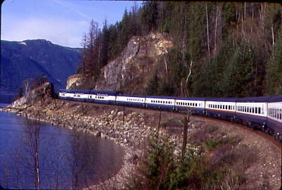
Rounding a curve in the Thompson River Canyon. While all of this great scenery was passing outside, the salmon poem contest occurred and this was my entry:
In the Adams River I hatch alone,
then hide in the gravel and the stones,
if I do not hide they will eat me alive,
that is my only chance I have to survive.
If I'm lucky I make it to Shuswap Lake,
if I do not I am too small to bake,
then I will swim and swim and swim,
and if I am lucky I just might win.
Everyone is trying to eat little me,
all I want is a safe trip to the sea,
if I make it I am one in four,
at least I am not in your store.
You would think that at sea I would be safe,
but everyone is still after me,
I enter fresh water for a change,
for what I do may seem strange.
I swim all the way back home,
to that very place that I was born.
If I make it I do two last things,
I spawn and die for new life to bring!
I was awarded third place which was pleased me for something I wrote in less than five minutes.
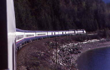
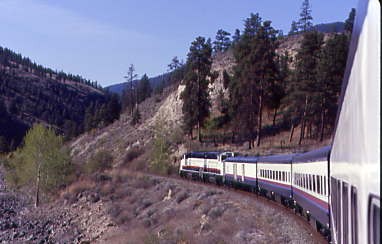
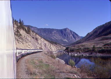
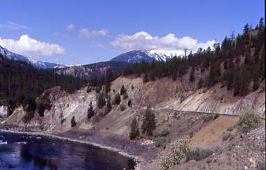
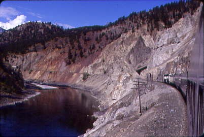
Running west on the Canadian National along the Thompson River.
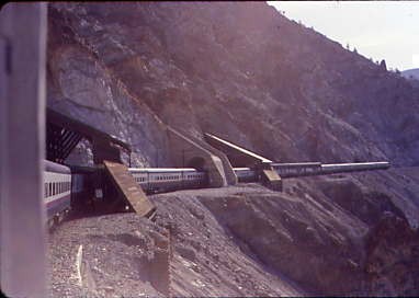
Entering tunnels in the Thompson River Canyon.
A look back.
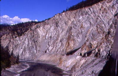
Passing a slide zone.
The blue Thompson River.
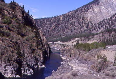
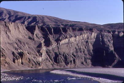
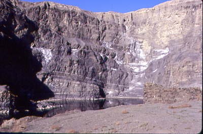
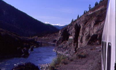
The river has certainly cut down through the rock levels.
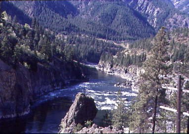
Rapids in the Thompson River.
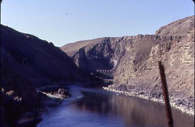
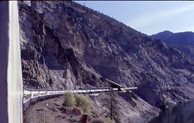
The big blue Thompson River takes a turn.
Entering the Painted Canyon region of the Thompson River Canyon.
Passing through Painted Canyon.
More blue waters of the Thompson River.
At the junction of the Fraser and Thompson Rivers, can you tell which waters came from the Thompson River? The word 'striking' describes the difference in water colouring where the blues of the Thompson River and the muddy brown of the Fraser River meet.
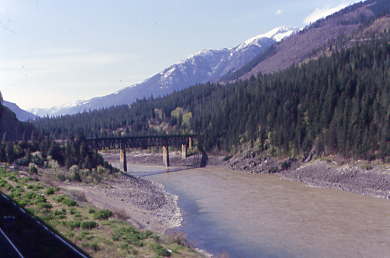
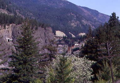
The muddy Fraser River with our Canadian National bridge we would cross just ahead.
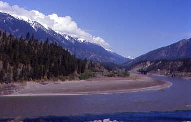
A look back up the Fraser River.
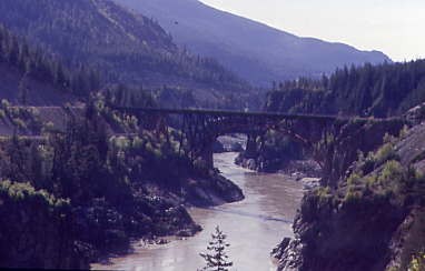
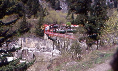
Approaching the twin railway bridges at Cisco.
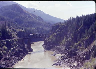
The Canadian Pacific bridge from the Canadian National bridge.
Looking back at the Cisco bridges.
Our train passing through a slide shed.
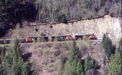
A eastbound Canadian National freight on the Canadian Pacific line.
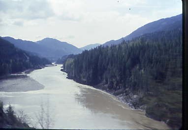
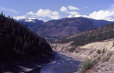
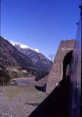
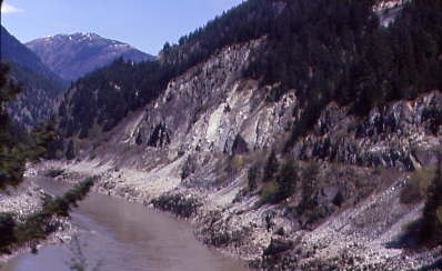
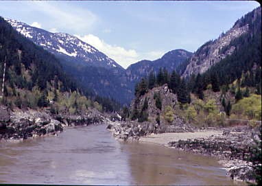
The Fraser River.
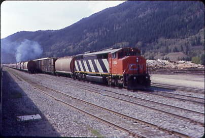
Canadian National 5415 East at Boston Bar.
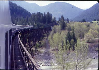
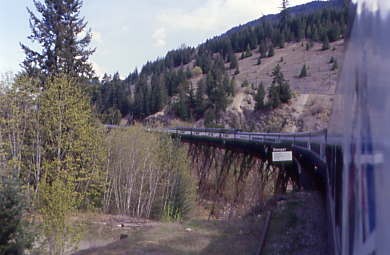
Anderson River bridge.
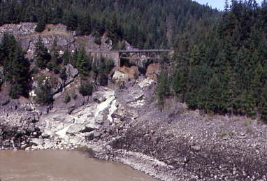
A creek flowing under the Canadian Pacific line across the Fraser River.
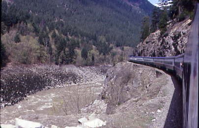
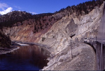
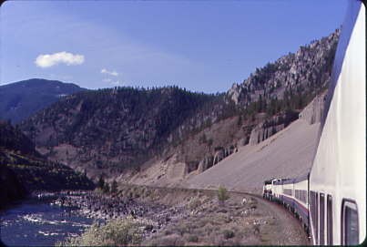
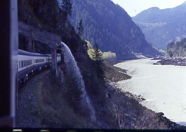
A look back at our train in the Fraser River Canyon.
Hells Gate.
The tunnels we had passed through.
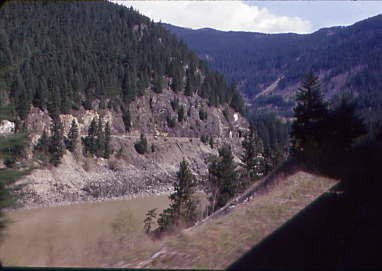
Across the Fraser River was the Canadian Pacific line.
Impressive!
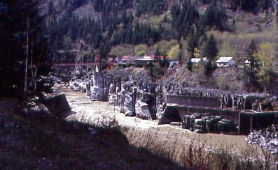
Passing under a waterfall in a flume at Milepost 19.7.
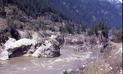
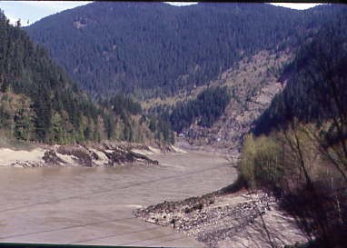
The Fraser River really narrowed at this location.
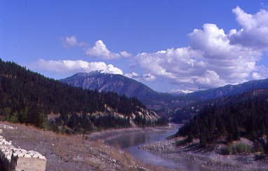
The Fraser River then spread out as the canyon widened.
Nearing Hope.
Our train was at the west end of the Fraser River Canyon. I thought that the Canadian Pacific line was rugged, but it is easier to appreciate it more fully from the Canadian National line. Weather-wise, it was a perfectly clear day and enjoying the Fraser River Canyon in an open vestibule was the perfect way to enjoy it.
A bridge across the Fraser River.
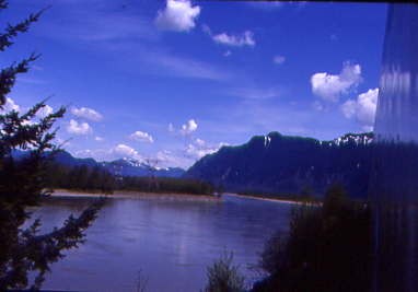
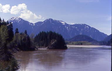
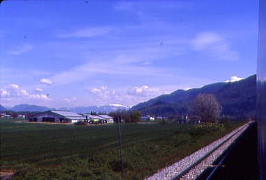
The big bend into the Fraser Valley.
The Fraser Valley.
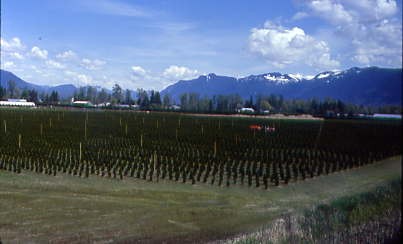
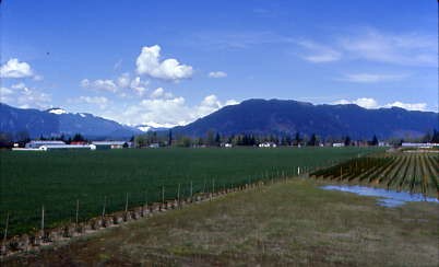
Let the vineyards be fruitful.
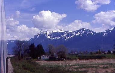
The peaks behind the train.
The forward view as we sped through the Fraser Valley.
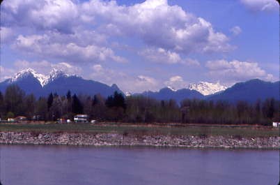
The Fraser River with the peaks to the north.
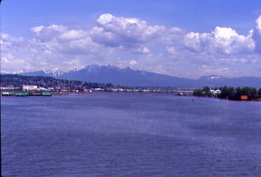
The Fraser River, the longest river within British Columbia, rising at Fraser Pass near Blackrock Mountain in the Rocky Mountains and flowing for 854 miles into the Strait of Georgia just south of the City of Vancouver. The river's annual discharge at its mouth is 27 cubic miles or 125,000 cubic feet per second and each year, it discharges about 20 million tons of sediment into the ocean. The river is named after Simon Fraser, who led an expedition in 1808 on behalf of the North West Company from the site of present-day Prince George almost to the mouth of the river.
We were so far ahead of schedule that Canadian National was not prepared for us to pass through Thornton Yard, so they ran us through it to get by.
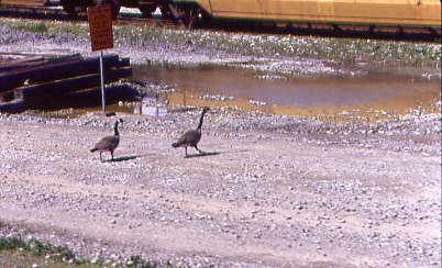
Wildlife can show up anywhere, including Thornton Yard.
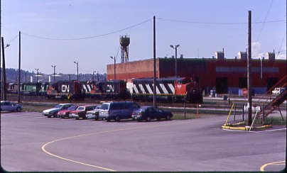
Canadian National's Thornton Yard, formerly Port Mann yard, built in 1916 by the Canadian Northern on tracks acquired from the New Westminster Southern (Great Northern) in 1891. The new town of Port Mann was to adjoin the new railway yard and roundhouse forming the terminus of the new trans-national rail-line operated by Canadian Northern Railway. It was named for Donald Mann, a partner in the building of the railway.
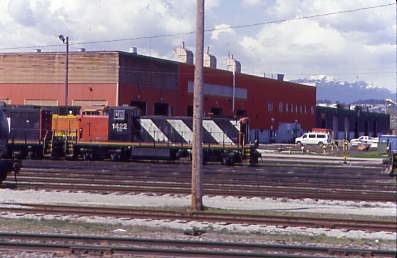
Canadian National GMD-1 1422, nee Canadian National 1076, built by Electro-Motive Division in 1989.
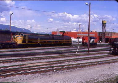
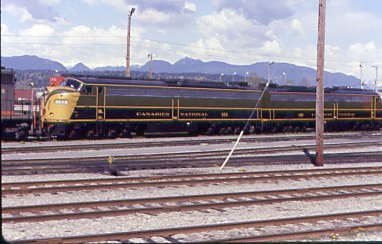
Canadian National E9A 102, ex. Burlington Northern 9903, exx. METRA 9903, exxx. West Suburban Mass Transit District 9903, nee Chicago, Burlington and Quincy 9940A built by Electro-Motive Division in 1950; and Canadian National E9A 103, ex. Burlington Northern 9916, exx. METRA 9916, exxx. West Suburban Mass Transit District 9916, nee Chicago, Burlington and Quincy 9986A built by Electro-Motive Division in 1955.
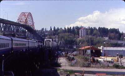
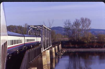
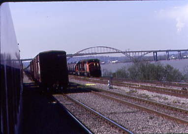
Crossing the Fraser River at New Westminster.
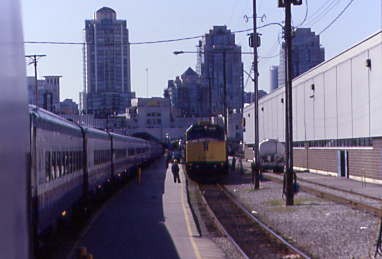
Arriving at Pacific Central Station in Vancouver, where the train was wyed then split into two sections to fit in the station, since VIA Rail's Canadian was preparing to leave for Toronto.
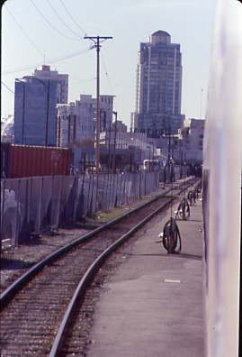
Downtown Vancouver with the Amtrak Cascades that would take me to Seattle tonight.
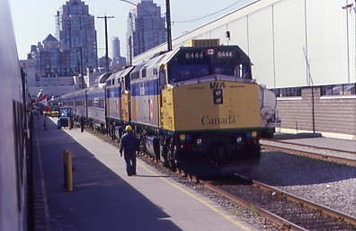
As I detrained, I found the Canadian awaiting its departure. I went inside and found a pay phone to see about getting a room in Seattle, which I did, then changed my Thruway bus ticket for early tomorrow morning to a Cascades Business Class ticket for this evening so I could get a full night's sleep and maybe shake this illness. I called the Days Inn and cancelled my room in Vancouver, exchanged my money and collected my bag, thus ending my Rocky Mountaineer experience. What an experience! Four days of the most beautiful scenery, vestibule riding, photography and meeting people from all over the world. They truly live up to their motto of "The Most Spectacular Train Trip in North America!" That says it all.
| RETURN TO THE MAIN PAGE |


