


11/2/2023 Elizabeth and I arose on a Sunday morning and after our Internet duties, I drove us north to Higbee and a new station for both of us.

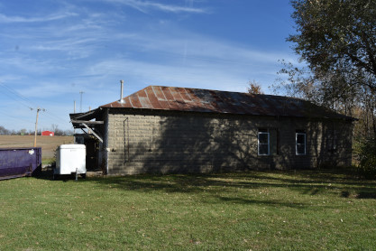
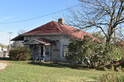
Missouri-Kansas-Texas Higbee station, year built unknown. We made our way east to Center for that town's station.
St. Louis and Hannibal Center station. The railroad originally incorporated as the St. Louis & Keokuk Railroad on February 16, 1857. The Civil War and various depressions and recessions prevented its actual construction until 1871. Beginning in its early construction, it was largely financed and (later) owned by John Insley Blair, Blairstown, New Jersey (1802–1899), and Moses Taylor, New York banker (1806–1882). Taylor died in 1882 and his protégé Percy Pyne remained on various boards. The railroad was eventually known as "The Short Line".
On February 7, 1884, the St. Louis, Hannibal & Keokuk went into receivership and was sold to Blair on December 8, 1885, for $370,000. At that point it became the St. Louis & Hannibal Railway Company The Perry Branch was surveyed and graded in the 1870s but was not built until 1891-92. The first train reached Perry July 1892. This was a dual expansion in that track was extended from Oakwood into Hannibal and a brick depot was built at 501 South Main Street in 1892. This would be the final configuration; Mainline - Hannibal to Gilmore, Missouri, and Branchline - Ralls Jct. (New London, Missouri) to Perry. In 1893 the St. Louis, Hannibal and Kansas City (Perry Branchline original name) merged into the StL&HRy.
Next, we proceeded to New London.
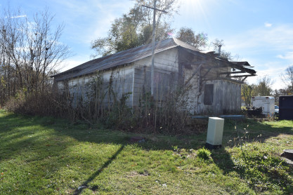
St. Louis and Hannibal New London station. Our next stop of the day was Louisana.
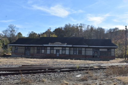
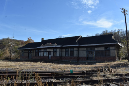
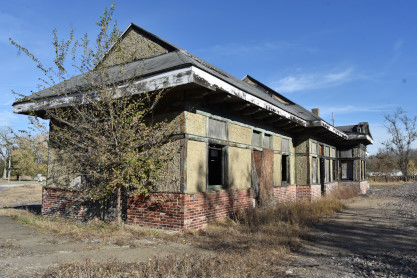
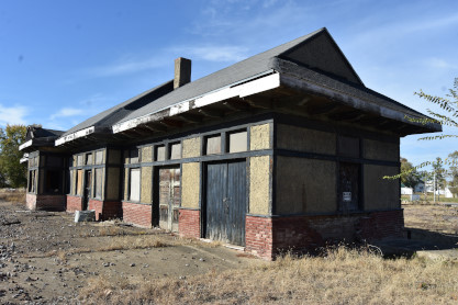
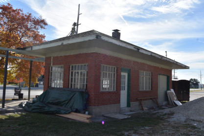
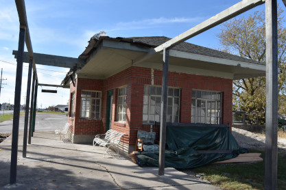
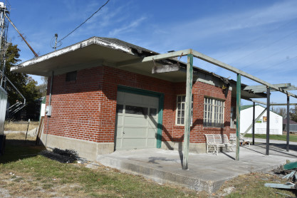
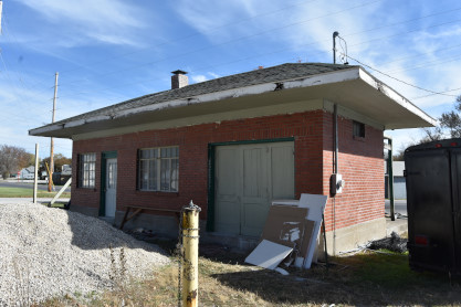
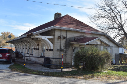
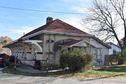
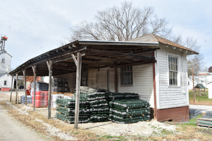
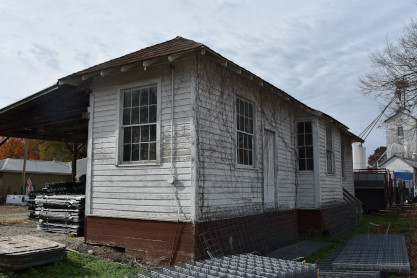
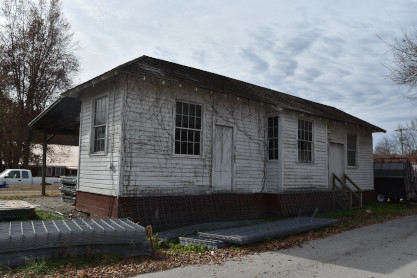
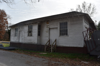
Chicago and Alton Louisiana station built in 1907. It is a one-story, Mission Revival style red brick and stucco building. The rectangular building has a gable on hip roof with projected eaves and exposed wooden roof rafter.
The building ceased active passenger operations in 1960 and was allowed to sit vacant and deteriorate. The building closed in 1973 and was subsequently sold to a private individual who made some partial roof repairs and used the station as a temporary residence. The current owner has placed a new roof on the building to make it weather tight for the first time in decades. A plan for reuse and a full-fledged rehabilitation of the building are needed to secure its future, but efforts are hampered by the fact that the building sits in the Mississippi River floodplain. This has precluded the station from receiving Federal funds for rehabilitation. Moving the station from its original site may be necessary to save it, but the cost of moving it and finding an available parcel on which to relocate the station may make the project unfeasible. Moreover, the building sits along Highway 79, a designated Scenic Byway. Relocation of the building would diminish the historic nature of this designation.
This station was listed on the National Register of Historic Places in 2006.

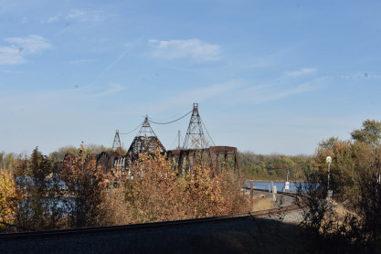
Very close to the station is the Gulf, Mobile and Ohio bridge across the Mississippi River, built in 1874 and used by the Kansas City Southern.
We made our way to Bowling Green.
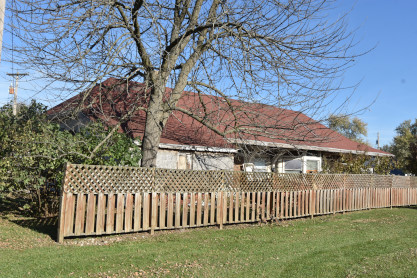
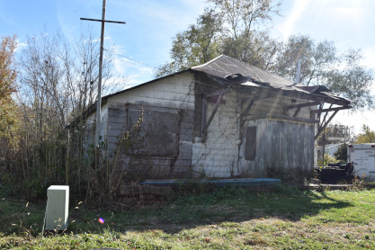
St. Louis & Hannibal Bowling Green station, which has been converted to a residence. We returned to Columbia for the rest of the day.
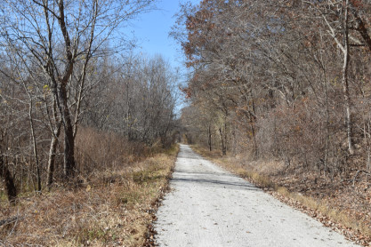
Jump to Wednesday 11/8/2023 and Elizabeth and I left the house and drove to to the KATY Trail at Grocery Creek and would walk a new portion of the trail.
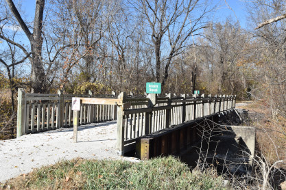
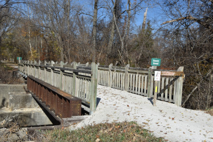
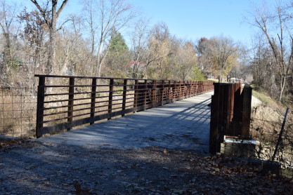
Grocery Creek trestle.
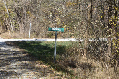
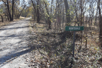
The Huntsdale signpost for the community near this location.

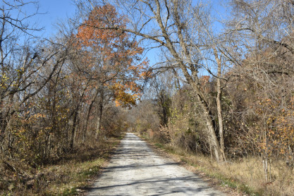
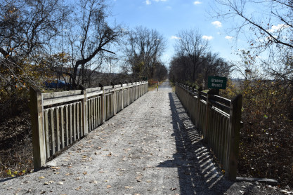
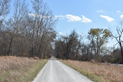
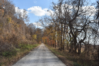
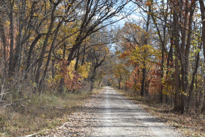
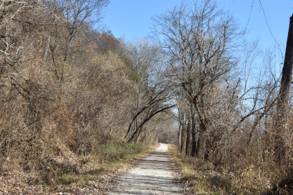
Views along the Katy Trail with the remaining autumn colors.
Missouri-Kansas-Texas milepost.
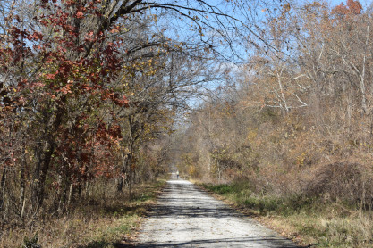
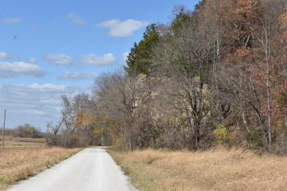
Along the trail.
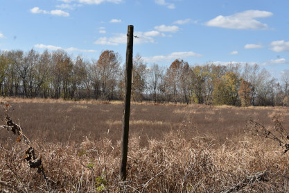
Remains of a Missouri-Kansas-Texas telegraph pole.
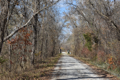
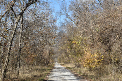
Another view of the trail towards the next bridge.
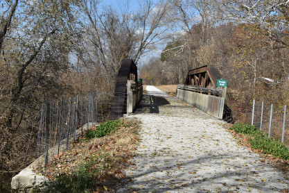
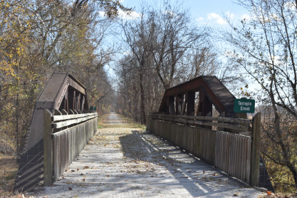
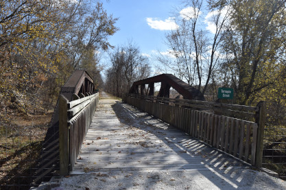
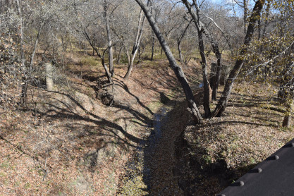
Missouri-Kansas-Texas trestle across Terrapin Creek.
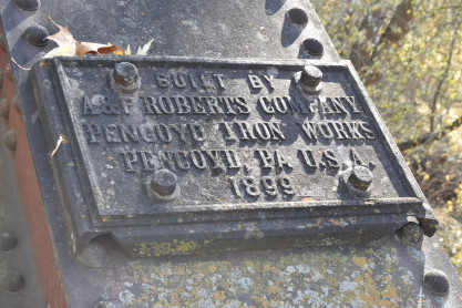
Builder's plate from the Terrapin Creek trestle built in 1899.
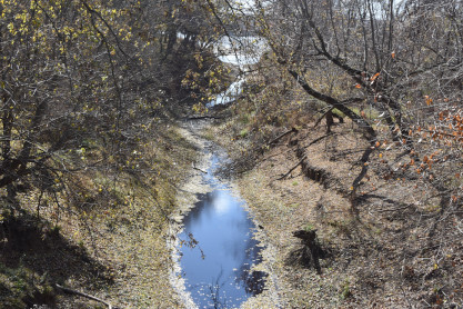
Terrapin Creek.
The walk towards the milepost 173.
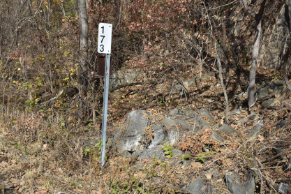
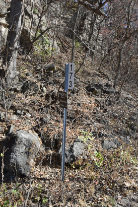
Missouri-Kansas-Texas milepost 173.
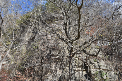
Terrapin Hills on the way back.
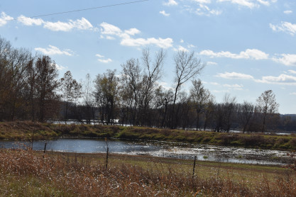
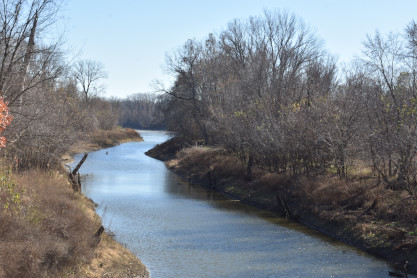
The Missouri River and a pond in the foreground.
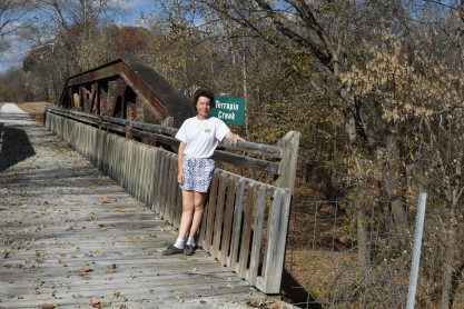
Elizabeth at Terrapin Creek trestle.
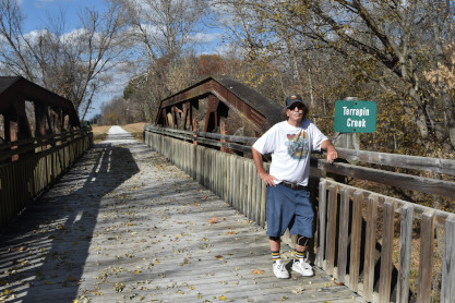
The author at Terrapin Creek trestle.
We started back to the car.
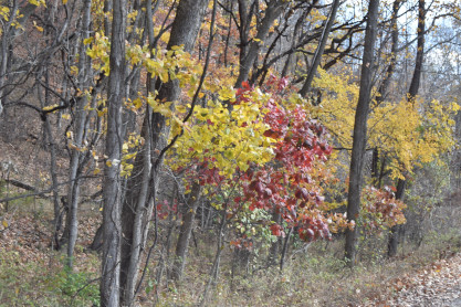
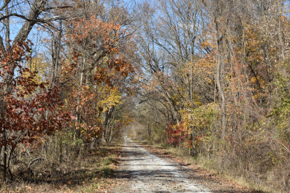
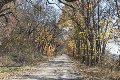
More autumn colors as we headed back.
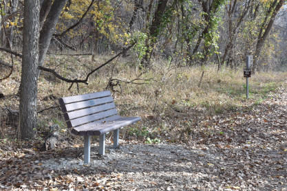
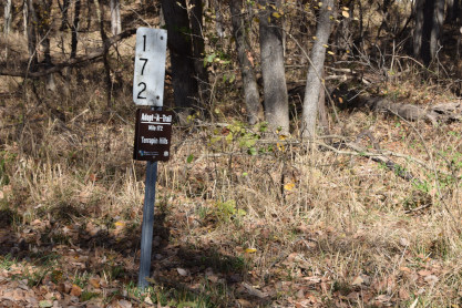
One of the benches along the trail near the milepost 172 signpost. We then returned to our house.
The next day, Thursday 11/9/2023, after doing our Internet duties, we drove south to Lohman to the station there.
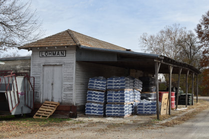
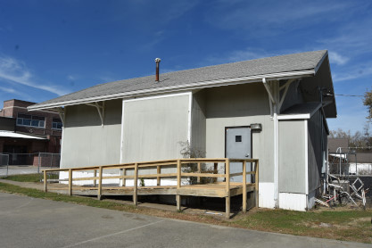
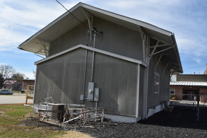
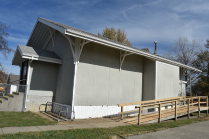
Missouri Pacific Lohman station on the Bagnell Branch. The railbed was formerly located on the dirt road and the station was opposite the railbed and moved sometime in the late 1950's. The projected section of the station where the telegrapher's desk was located is still intact and on the other side of the building. The station is now being used by MFA for grain storage.
We then drove to Jefferson City.
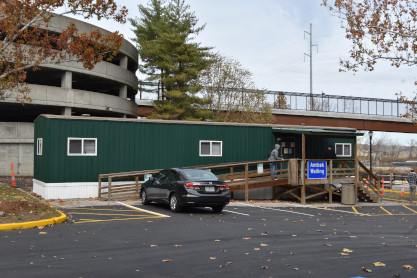
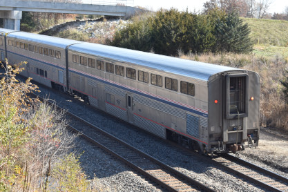
The Amtrak Jefferson City trailer used as the station.
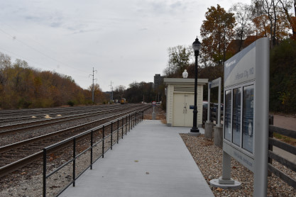
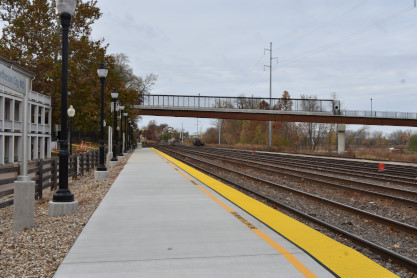
The Amtrak platform.
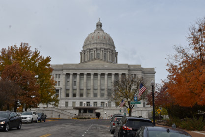
The Missouri State Capitol, after which we returned home.
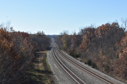
Friday, 11/10/2023, we decided to go to the two bridges west of Bosworth so drove out via Boonsville, Glasgow, Brunswick and Bosworth.
.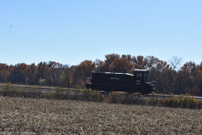
Ray Carroll Co-op SW1200 1112, nee Chicago North Western 311, built by Electro-Motive Division in 1962 at Brunswick. When we arrived at the location of the first bridge, there was no longer a bridge at County Road 321. Then when we arrived at the second bridge, it had been replaced and a chain fence had been installed on the bridge so one must kneel to take pictures.
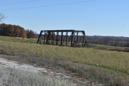
In the field was the Carroll County Road 314 overpass, a Pratt through-truss bridge built by the Santa Fe in 1887 and relocated in 1911. It was likely orginally located over the Grand River in Bosworth.
In 1887, the Chicago, Santa Fe and California Railway began construction on a 213 mile line crossing the state of Missouri. It would begin at Fort Madison, Iowa and head to Big Blue Junction, Missouri. The line crossed the Mississippi River into Iowa at Fort Madison, and Des Moines River into Missouri near Argyle, Iowa. At Sibley, it would cross the Missouri River. The Sibley Bridge Company was chartered in 1888 to construct the large bridge across the Missouri River at Sibley. Similarly, the Mississippi River Railroad & Toll Bridge Company constructed the bridge across the Mississippi River.
The entire line became part of the Atchison, Topeka & Santa Fe Railway in 1900. This mainline would see heavy reconstruction throughout the first decade of the 20th century. Reconstruction included tasks such as relocation and double tracking. The line was critical to the development of the State of Missouri and provided the quickest and most direct route between the agricultural center at Kansas City and Chicago.
Throughout the 20th Century, the line remained one of the most critical rail lines in the United States. The heavy duty mainline saw guards during World War II, due to the critical connection between Southern California and Chicago. Despite the importance of the line, the ATSF would see serious financial issues in the late 20th century. Because of this, they merged with rival Burlington Northern to form BNSF Railway. BNSF currently operates the line as the Marceline Subdivision; and it is a part of the greater Southern Transcon Line; completed in 1908. The line connects to the equally as important Chillicothe Subdivision on the east, and the Emporia Subdivision on the west.
The medium-sized pin connected Pratt Through Truss once crossed the BNSF mainline near Bosworth. It was built using a former railroad bridge, which was decked and used for road use. It is unknown where this bridge originally came from, although local residents believe it came from the nearby Grand River Bridge.
Unfortunately, the bridge was removed and replaced with a new bridge in the fall of 2020. In previous inspections, the bridge had an above average rating for its age and design, leading to questions on why the bridge was replaced. Fortunately, a nearby citizen asked the company removing the bridge about setting the bridge down in their field. The construction company agreed, and the bridge has been set in a field nearby, where it will hopefully remain for generations to come. It was moved on August 31, 2020.
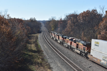
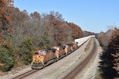
BNSF 5370 West was our first train at the bridge.
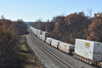
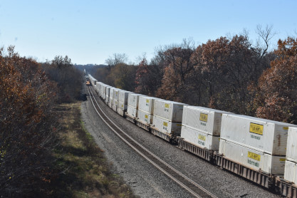
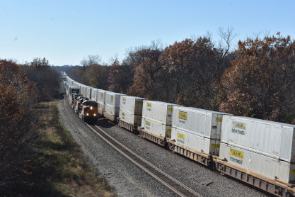
BNSF 6533 East was our second and the last train.
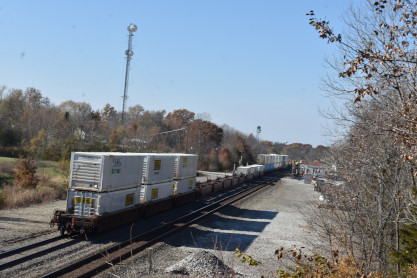
The rear end of BNSF 5370 East.
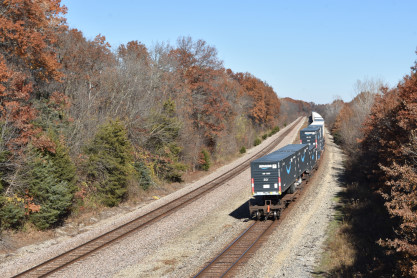
The rear of BNSF 5370 East, and we returned to Columbia.
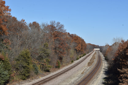
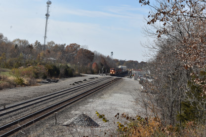
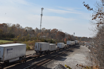
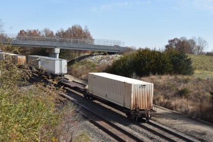
Sunday morning,, Elizabeth and I had breakfast at our house then did our Internet duties before I drove us north to La Plata on US Highway 63 and out to the Chris Guenzler Million Mile Lookout Point for a morning of reading railway magazines and train photogtaphy.
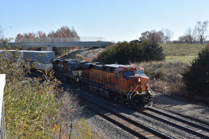
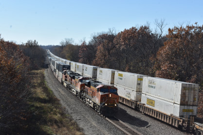
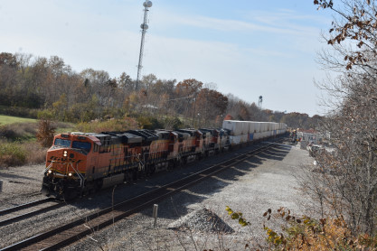
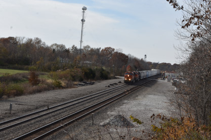
BNSF 8171 West with Norfolk Southern ES44AC 8156 in the motive power consist.
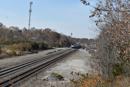
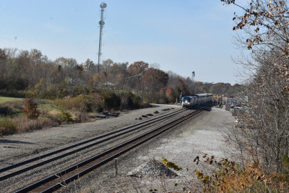
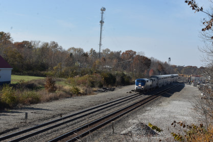
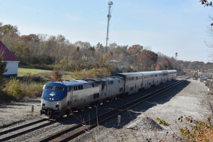
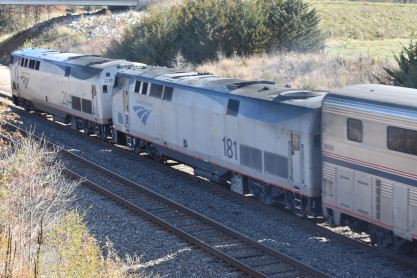
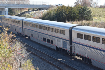
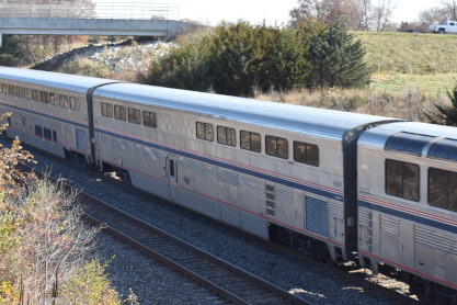
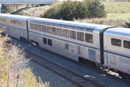
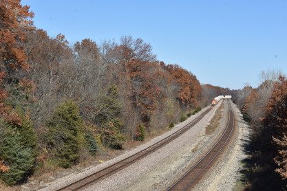
Amtrak's Southwest Chief, Train 4, did a double stop before departing for Chicago.
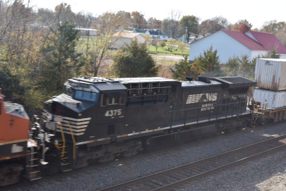
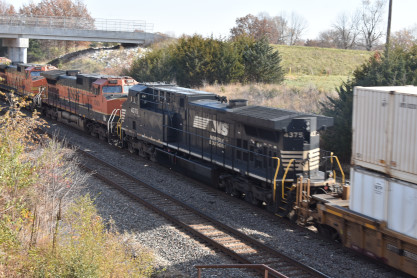
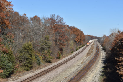
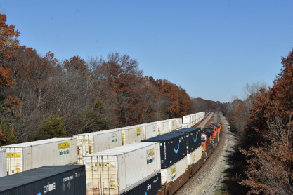
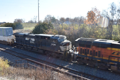
BNSF 6158 East with Norfolk Southern AC44C6M 4375 in the motive power consist.
 >
>
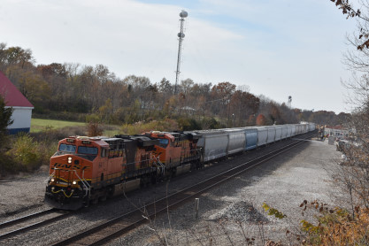
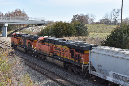
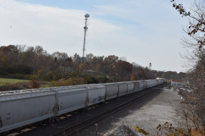
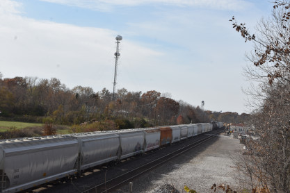
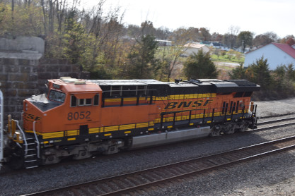
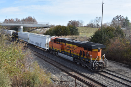
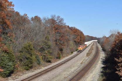
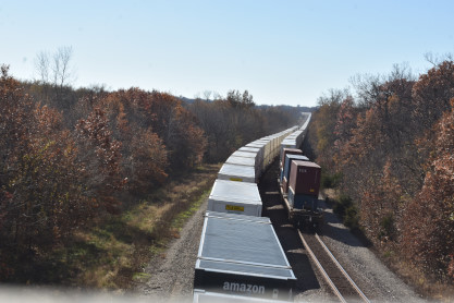
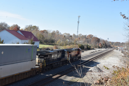
BNSF 6411 East with BNSF 8052 as the DPU. We then returned home and later went to Jersey Mike's for dinner.
Next, jump to Sunday 11/12/202 and we went to the International House of Pancakes for an excellent breakfast then drove us west on Interstate 70 West to Corcordia and took Missouri Highway 23 into town for a caboose.
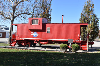
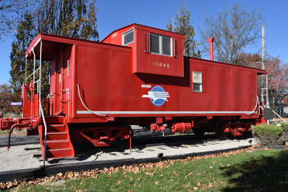
Misouri Pacific caboose 13645 built by International Car in 1974 and retired in 1986.
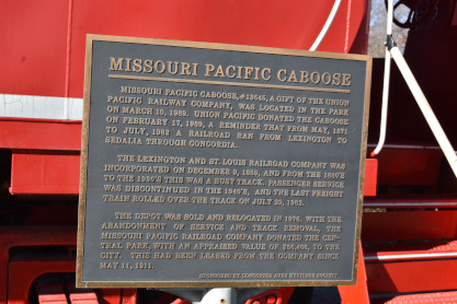
The plaque on this caboose.
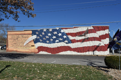
On a wall across the street was an American "We the People" from the United States Constitution. We drove this road south but could not locate a station so retraced our steps and took Missouri Highway 23 north to Missouri Highway 20, on which we turned north and took it to US Highway 65, then to Missouri Highway 240 to Slater, when I made a U-turn after spotting a locomotive.
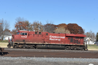
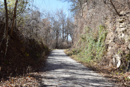
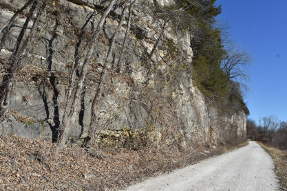
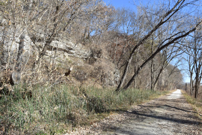
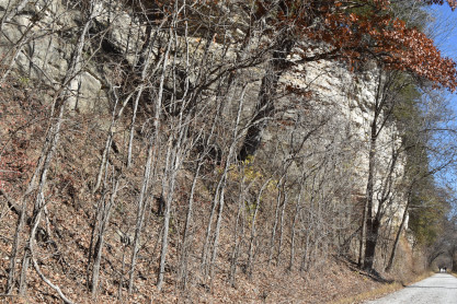
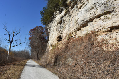
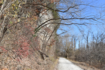
Canadian Pacific ES44AC 8752 built by General Electric in 1990. We left here and drove Missouri Highway 240 through Glasgow and Fayette to Rocheport, where we walk on the Katy Trail and found a surprise.
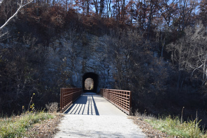
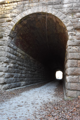
We found a Missouri-Kansas-Texas railroad tunnel through the Manitou Bluffs. The trestle bridge in front crosses Bonne Femme Creek.
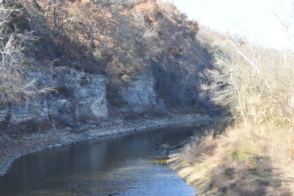
The water of Bonne Femme Creek.
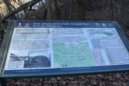
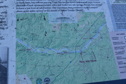
The Lewis and Clark Expedition Across Missouri display board.
A closer view of the trestle.
The south end of the tunnel.
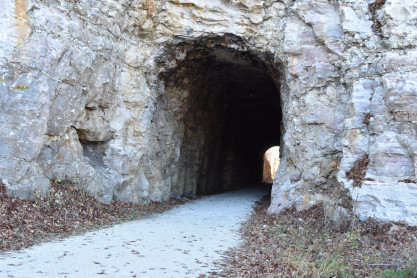
The north end of the tunnel with a stone portal.
The cut leading to the tunnel.
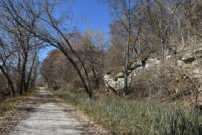
The trail under the Mantiou Bluffs.
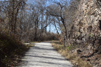
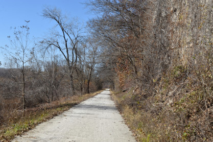
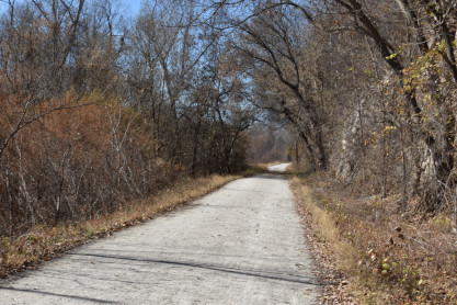
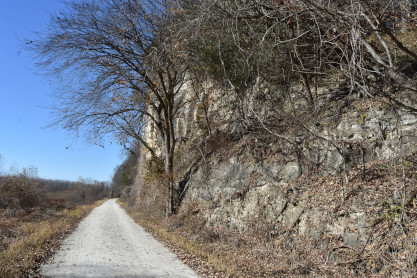
Views of the Katy Trail.
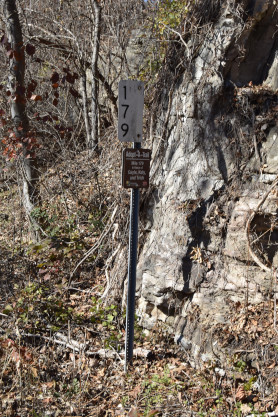
Walking to the Milepost 179 signpost.
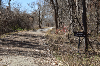
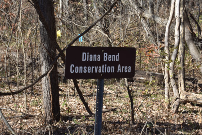
Diana Bend Conservation Area.
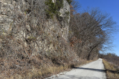
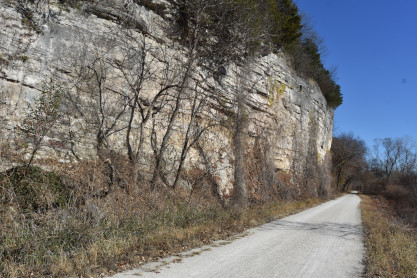
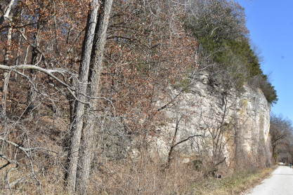
The walk north along the Mantiou Bluffs. At this point, we decided to reverse and return to the car.
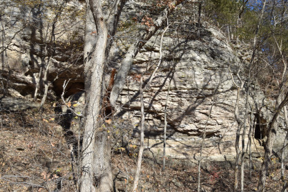
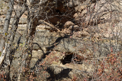
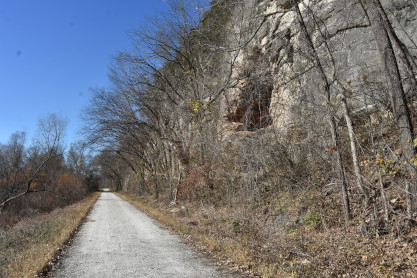
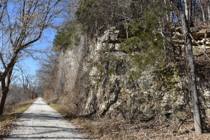
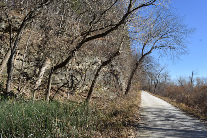
The wallk south along the Mantiou Bluffs with many caves in the bluff.
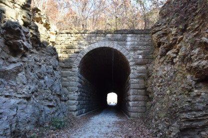
We walked through the tunnel and back to the car.
| RETURN TO THE MAIN PAGE |