


After that fantastic Photo Runby at Fir, we crossed the 9,242 foot summit at Fir/La Veta Pass. We ran by the siding and passed through a cut before we started down the 3% percent grade.
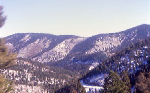
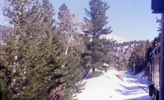
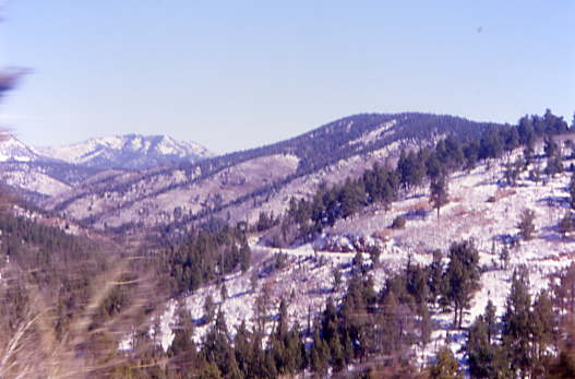
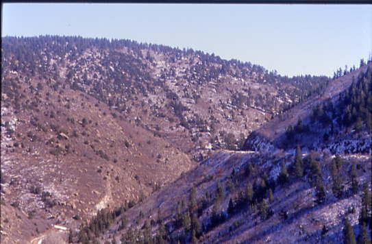
The view looking to where we will be going during our descent down the east flank of this unique pass.
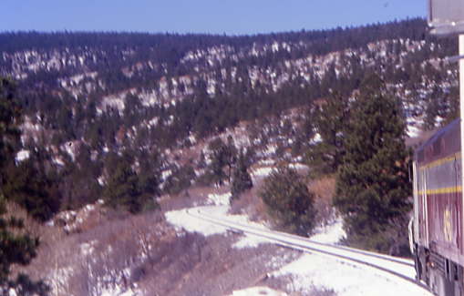
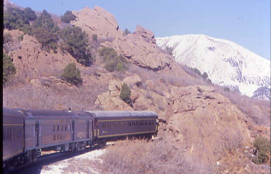
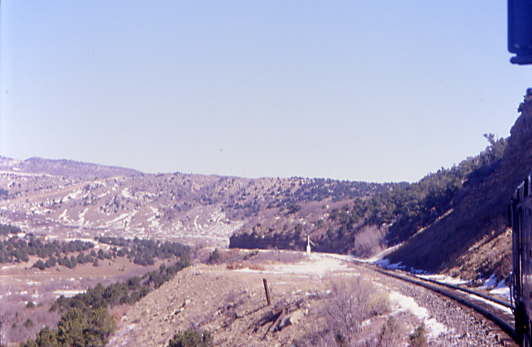
Our train would be curving in and out of the canyons since straight track is at a minimum here.
The view looking across to where we will be riding in a few minutes.
Our train taking the grade down this unique hill.
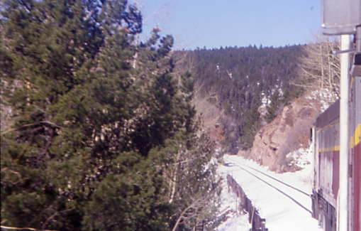
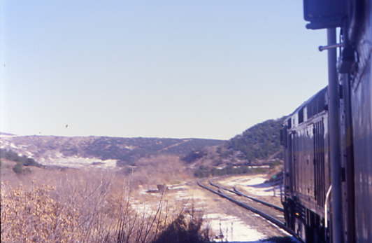
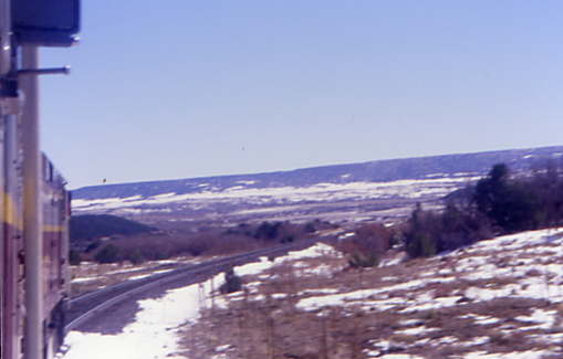
The view looking ahead.
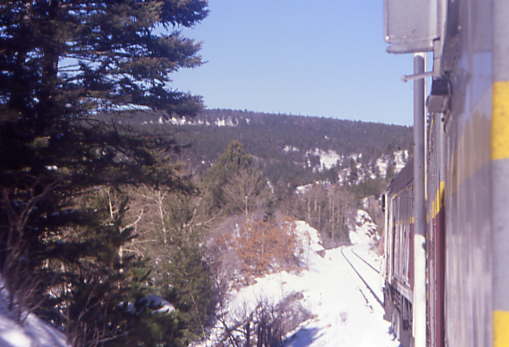
With the snow, this is a very beautiful trip on a late October day.
A little track support along the route.
The look back to where I took that first picture.
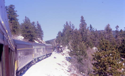
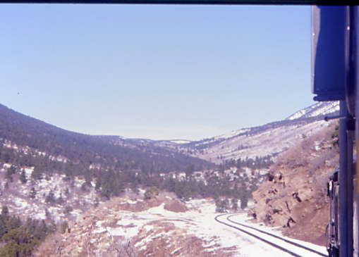
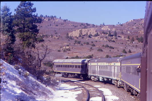
Ahead of us, I could see more curves that we would be taking in a few minutes as we continued to drop down the grade.
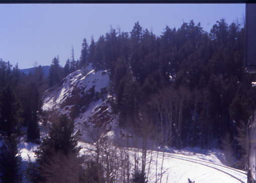
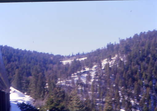
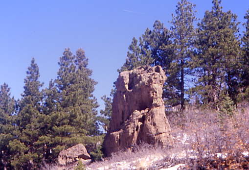
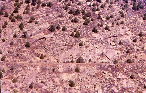
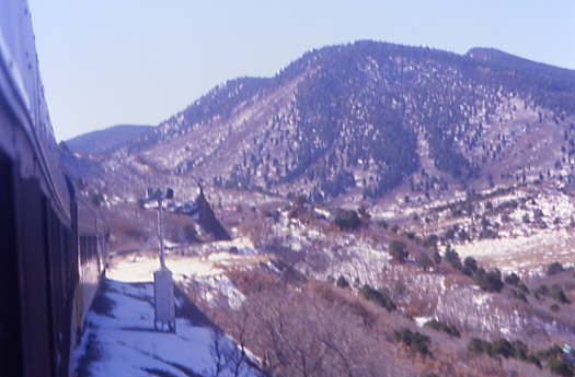
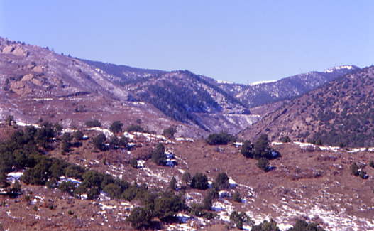
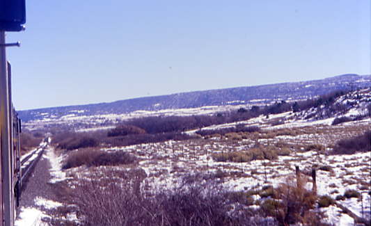
There were many interesting rock formations and beautiful views abound along the route.
Taking another curve.
Followed by another.
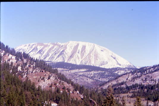
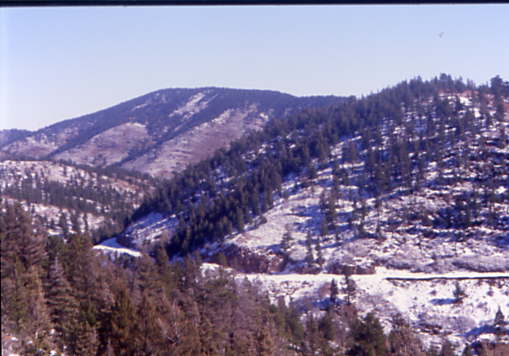
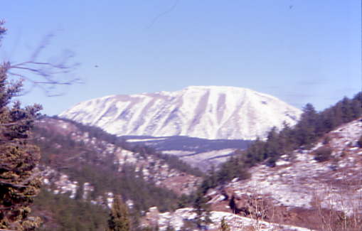
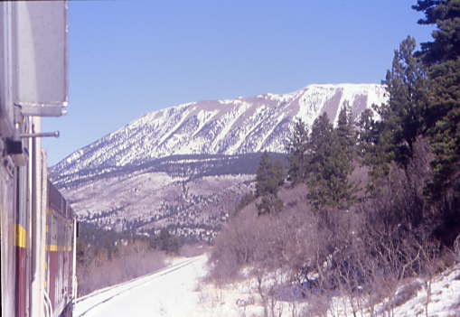
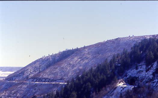
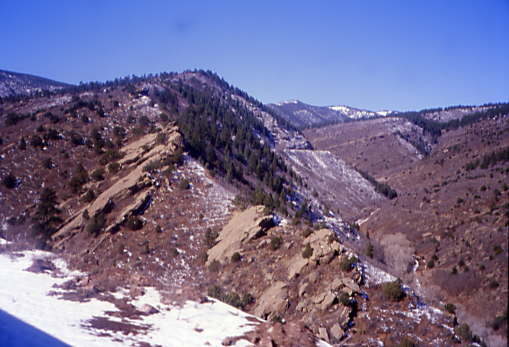
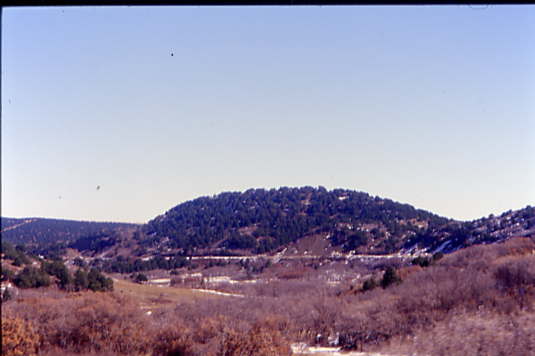
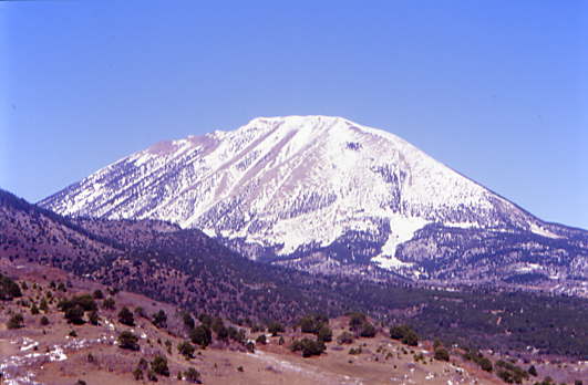
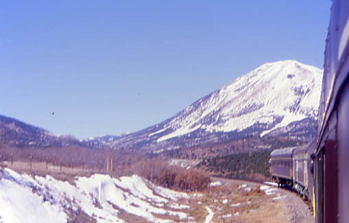
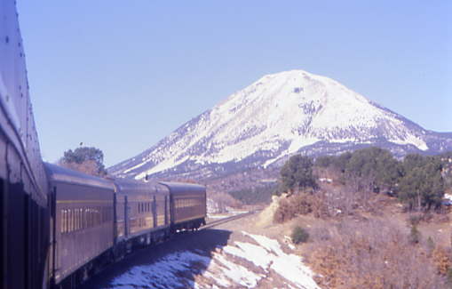
Across the canyon, Bald Mountain provided a very impressive view.
Looking back up the pass towards Fir.
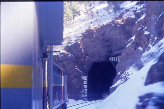
The train came to Middle Tunnel, a 360 foot affair. The Upper Tunnel was daylighted after it had burned and collapsed in 1929.
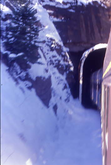
Our train was exiting the other end of the Middle Tunnel.
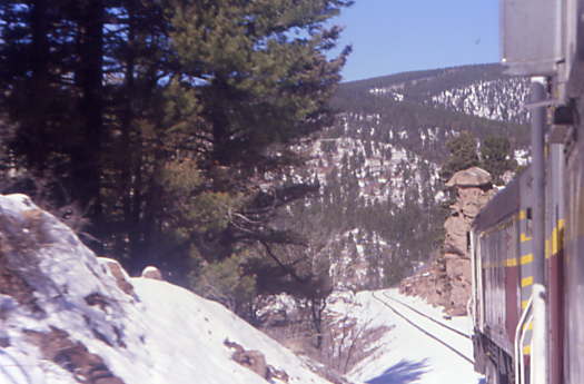
We passed another interesting rock strata as we continued to descend.
Another curve yielded this view.
Our train curving once again.
The view ahead.
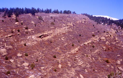
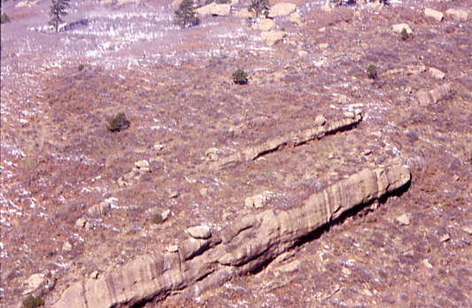
Some interesting rock strata.
Ahead there was a view of Lower Tunnel which we would enter in about four minutes.
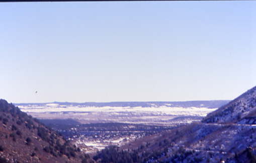
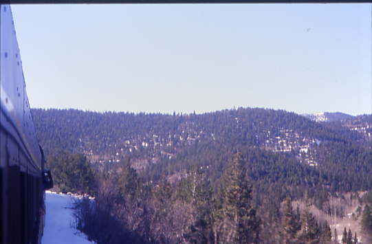
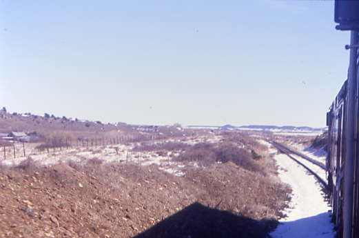
We also had our first good look out toward the Great Plains.
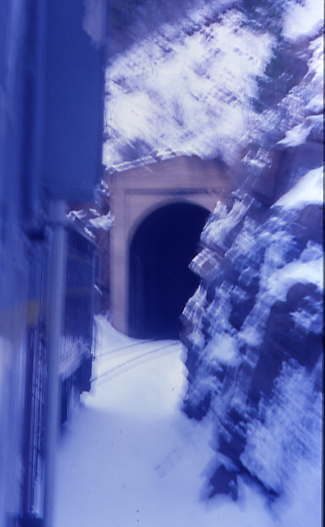
Our train entered the 655 foot Lower Tunnel.
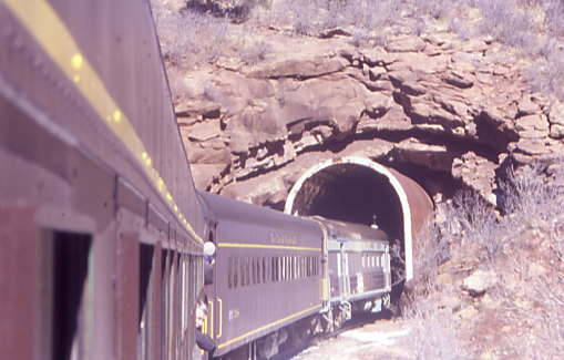
Our train exiting the Lower Tunnel.
The old grade of the narrow gauge Bald Mountain Railroad that once served the Occidental Mines was across the canyon.
One could see the rock spine that was the reason for the Lower Tunnel.
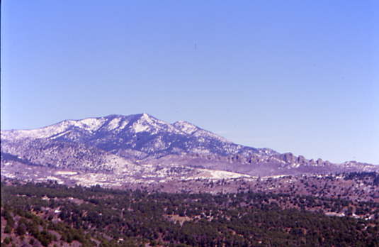
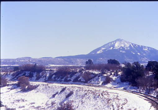
To the north was the 11,569 foot Mount Maestas.
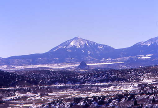
To the southeast was East Spanish Peak, which is 12,683 feet,
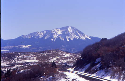
To the south West Spanish Peak which is 13,626 feet in elevation.
Our train took a series of horseshoe curves as we approached Occidental.
As we headed east, the landscape continued to change as we drop to the lower elevation.
Our train is running along Middle Creek until it joined the Cucharas River.

Our train reached Occidental siding.
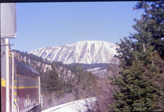
That mountain is still visible as we dropped east.

The views were stunning.
The train continued to descend as we neared La Veta.
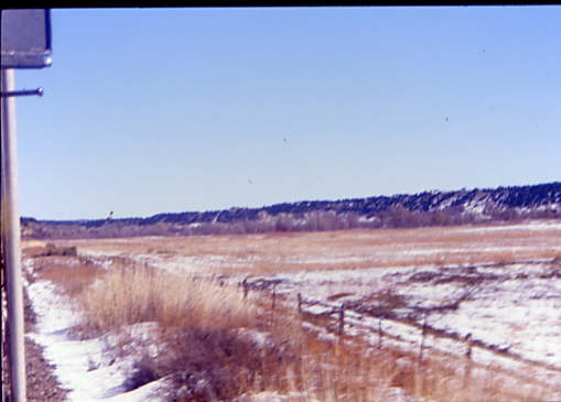
Our train ran by an old Rio Grande hot box detector.
A look back from where we had come.
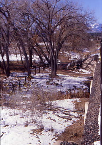
The land really sloped toward the river.
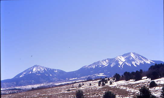
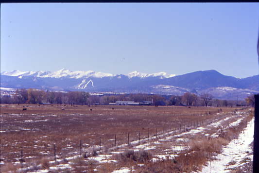
The Spanish Peaks.

The train made a turn toward the Spanish Peaks.
The look back.
Taking another curve as we drop down the grade.
The look back was fantastic.

A section of straight track.
The train took another curve as we dropped down the grade before reaching a section of straight track.
To the south, we could see lava rock which is from the Great Dikes of Spanish Peak and is best seen from US 160.
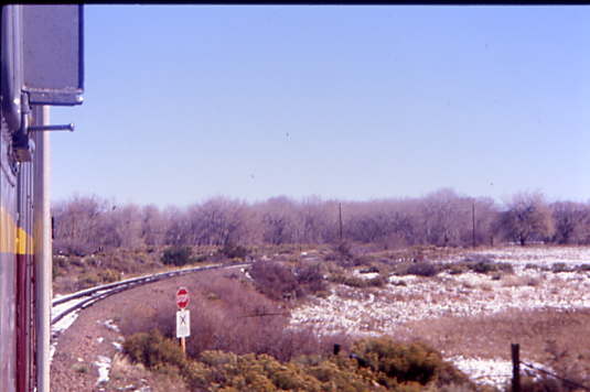
We took a curve into La Veta.
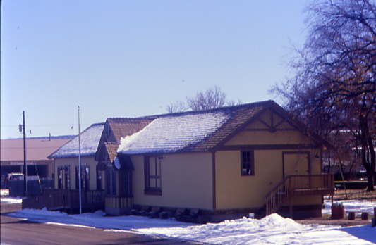
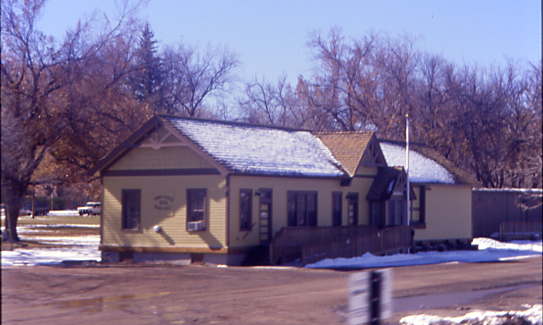
Here there is an old Rio Grande station.
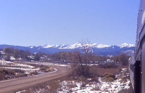
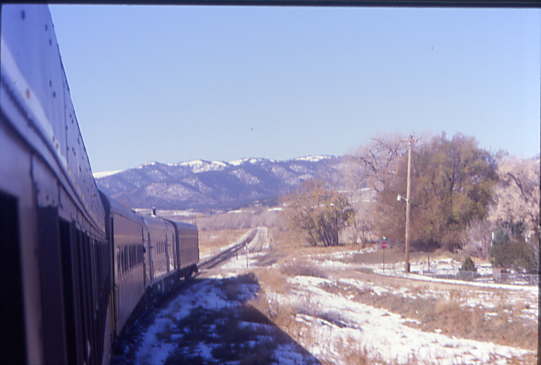
Looking back, you could see La Veta and the Sangre de Cristo Mountains.
Another view of the Sangre de Cristo Mountains.
The land was becoming flatter and flatter.
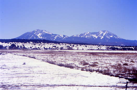
The Spanish Peaks are always watching over you here.
The train took another curve en route to the location where the motive power would run around the train.
Cucharas River Bridge.
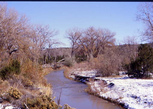
The Cucharas River. Once we got to the property line with the Union Pacific, the train stopped and we all got off while the train went to the next siding so that the power could be run around. We will catch the train when it returns.


