TrainWeb.org Facebook Page
150 Years on the Rail

Denouement

Evanston Railway map

Railroading in Evanston reached its peak in terms of areas served by 1926, when the NSL opened its Skokie Valley Route (click on the map above to see a (much) larger version). But this heyday was short-lived; the system began to decay in 1935 with the loss of the streetcars. Despite a large wartime surge, ridership began a steady decline, thanks of course to the personal automobile and the freeway. By the early 1960s, the system had come full circle; Evanston was once again down to only two railroads, for the most part following the same routes as its first two did in 1885.


Abutments which once supported one leg of the Weber branch "wye."

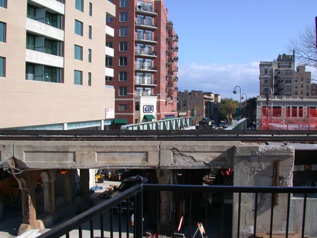
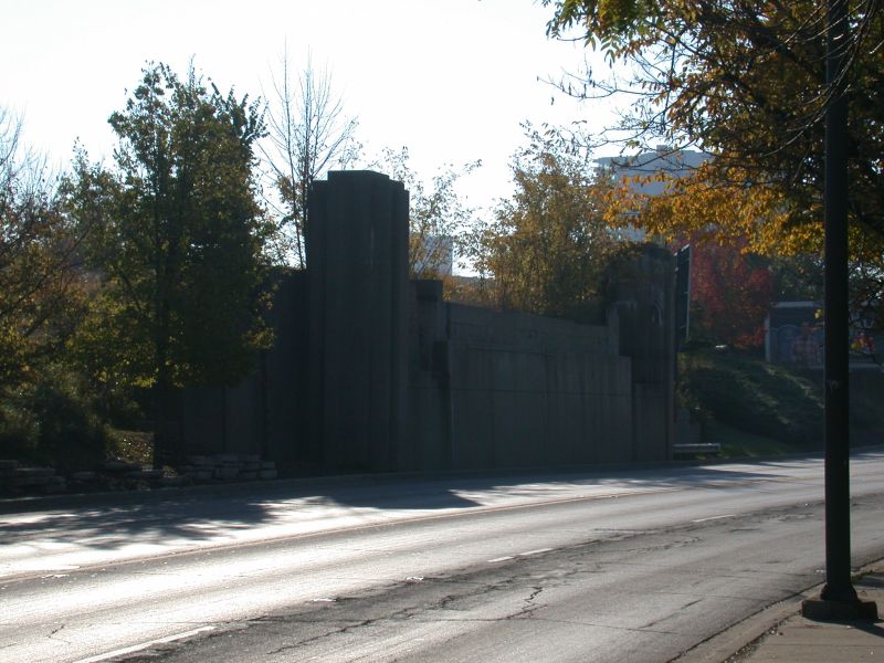
These concrete abutments once supported the southern portion of the "wye" where the Mayfair Cut-off branched off from the C&NW main line. The bridge which once crossed Green Bay Road here was removed in 1986.
 
Today, the streetcars and interurban tracks are gone, as are the Mayfair Cut-off and the Weber rail yard. The 1910-era infrastructure is definitely showing its age - crumbling concrete and temporary bracing are everywhere, and many of the original bridges have been or soon will be replaced.


Yet echoes of the past still remain: a filled-in pedestrian tunnel at the west end of Davis Street; bricked-up stairwells leading to empty platforms; a long, southwesterly gash in the landscape that is still clearly visible in aerial photos of southwest Evanston. And, of course, glimpses survive in photographs, history books, and web sites. May these pages be the starting point for your own journey down the rails of discovery.


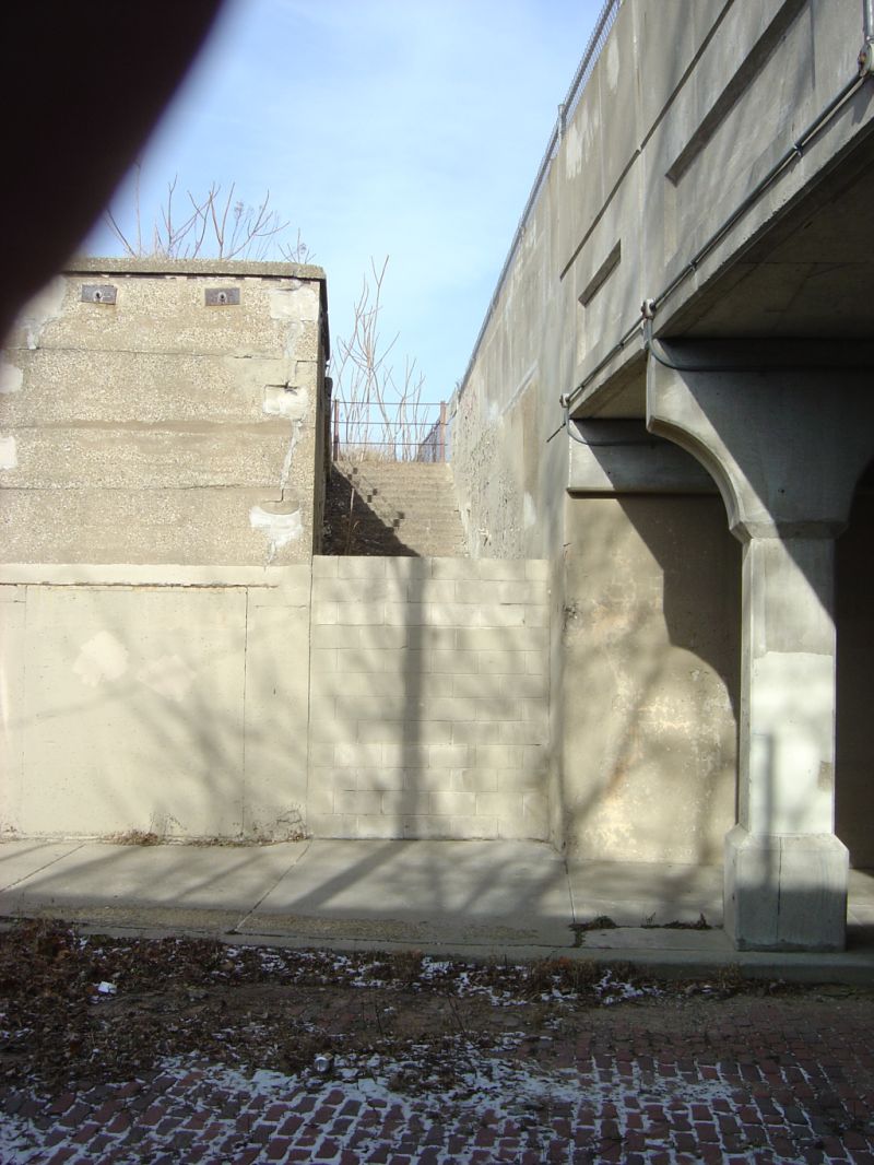
This bricked-up stairway once led to the C&NW's Calvary station. To the left of the stairs, the outline of the door for one of the station's two elevators is still visible. To the right are the CTA's viaduct supports. Mulford Street's brick paving is visible in the foreground.