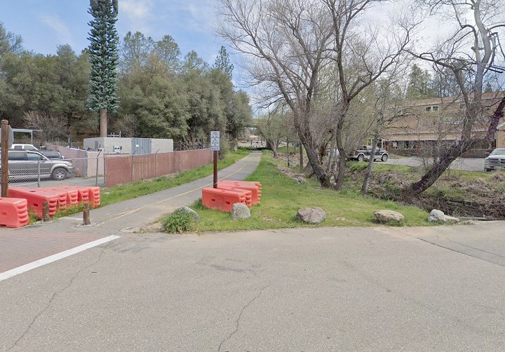
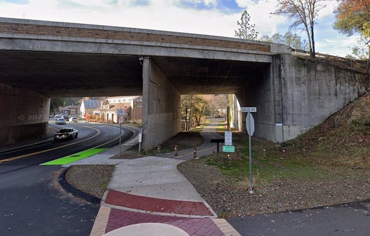
1.-2. West and east Google street views at Locust Ave. This was once a small yard. The Southern Pacific and Camino Placerville & Lake Tahoe RR interchanged trains here.
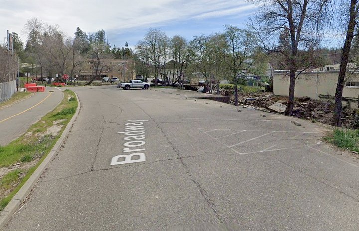
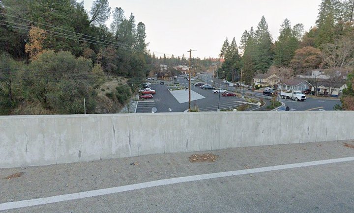
3. The former small yard is now and extension of Broadway. In this Google street view at the eastern end of the yard, we see the turntable site.
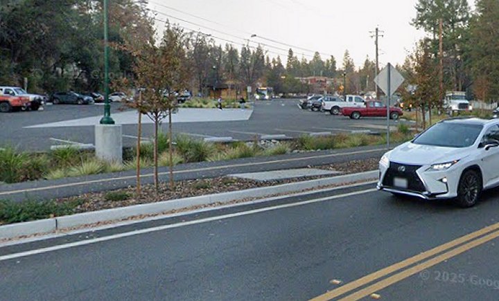
4. Looking north from the turntable site. In this Google street view the line passes under US50 towards the depot site.
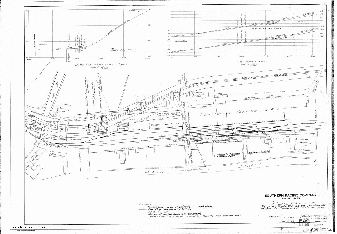
5. Partial 1955 fire insurance map of Placerville showing area of Broadway between Clay St and Mosquito Rd. (courtesy Dave Squire).
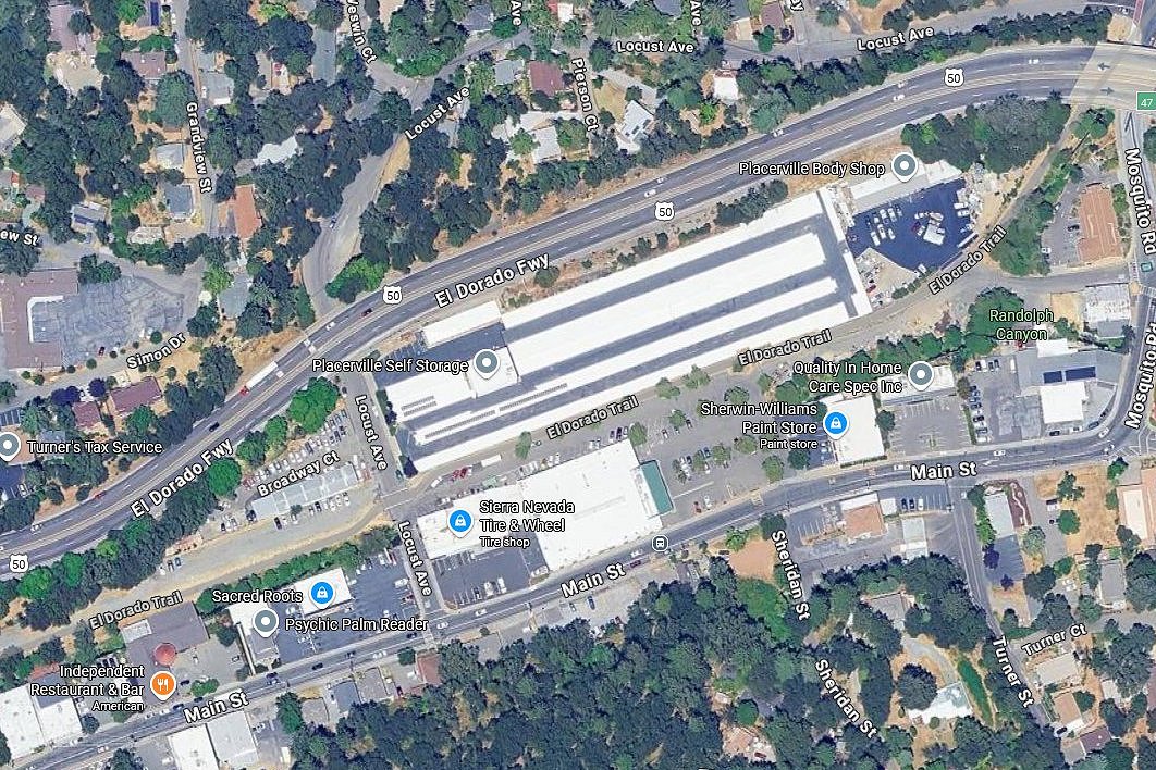
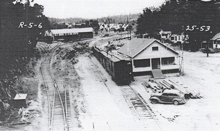
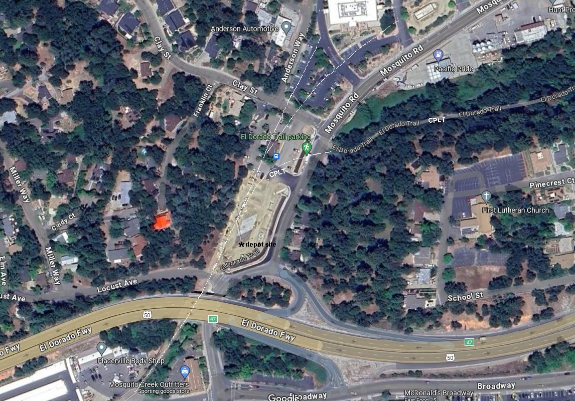
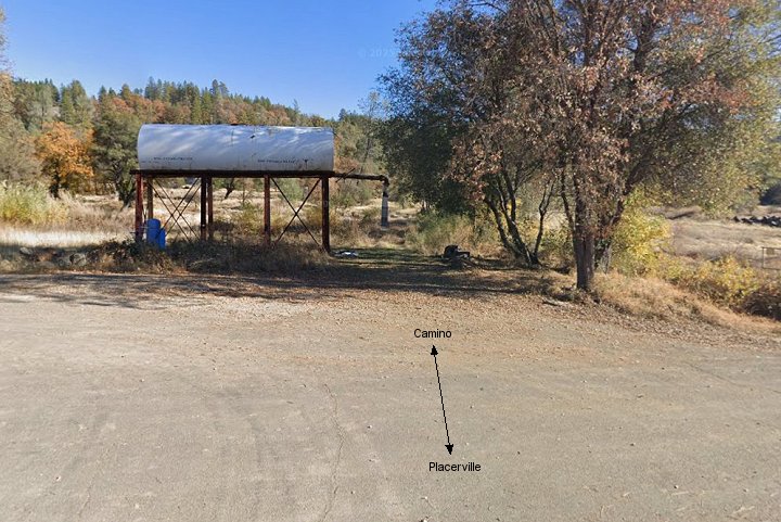
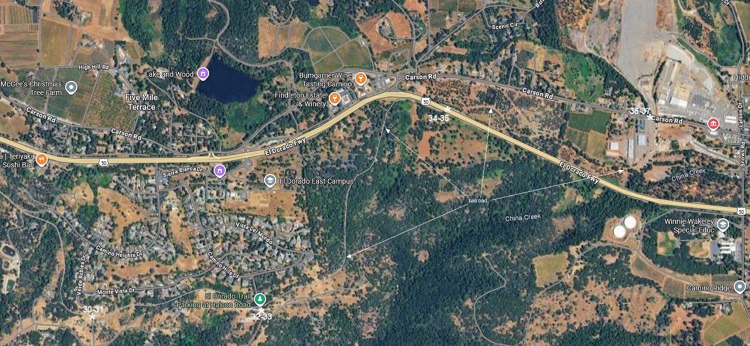
6. Google satellite view of the interchange yard area.
7. Historic image of the depot from Hwy 50.
8. Current Google street view from the same vantage point.
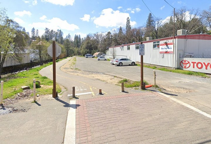
9. This 2006 image is of the former SP Placerville depot foundation. Beyond this point were several industrial spurs and the where the CPLT separates form the Placerville Branch.
10. Modern 2025 Google street view approximately the same as image 9. This site has now been completely leveled removing any relics and now serves as overflow parking for the bus station/depot.
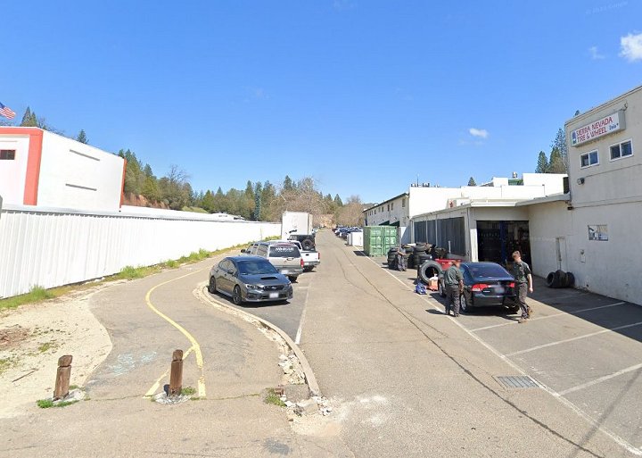
11. Google street view looking back under Hwy 50 towards the turntable site and the exchange yard.
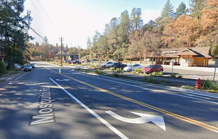
13. Google street image looking southward to the depot site and Hwy 50.
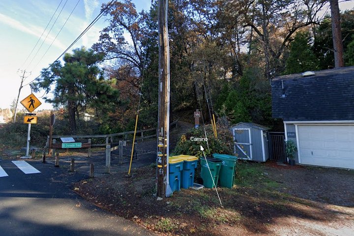
14. The CPLT diverges from the SP and starts its climb towards Camino here in this Google street view.
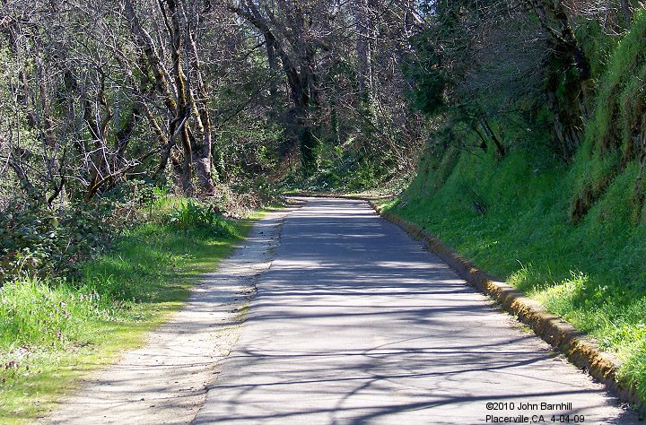
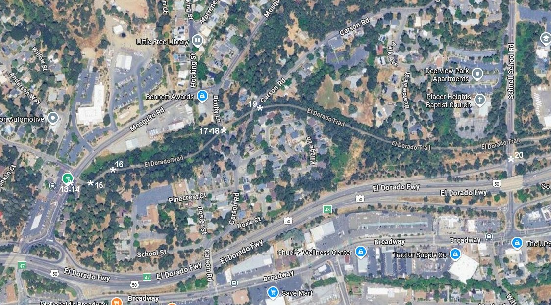
15.-16. These two views are along the right of way just east of image 14. Both look east.
17.-18. West and East Google street views at the Dimity Lane grade crossing.
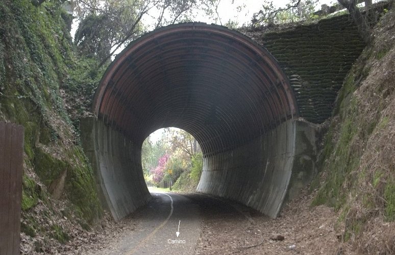
19. The only tunnel on the line crosses under Carson Road. View looks west.
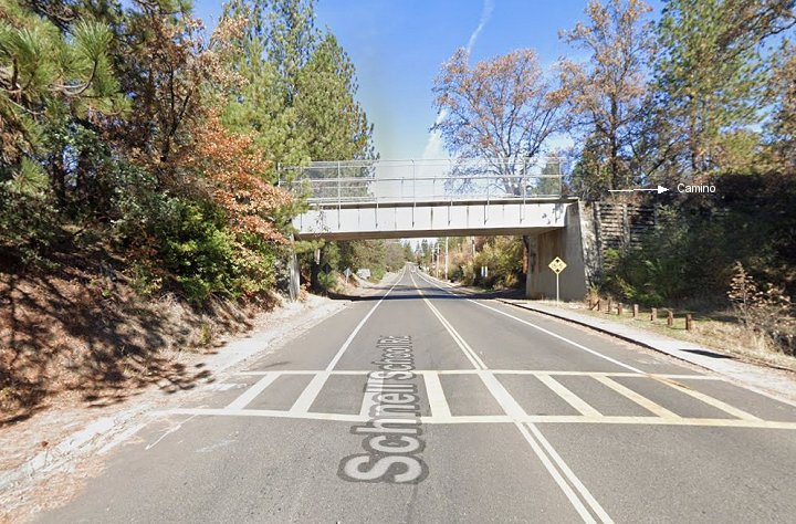
20. CPLT used this bridge to cross over Schnell School Road in this Google street view.
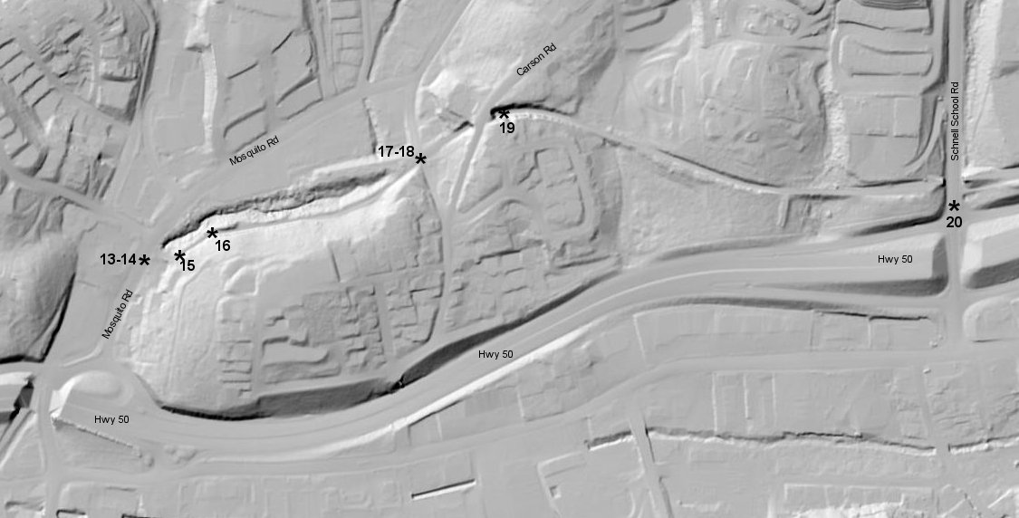
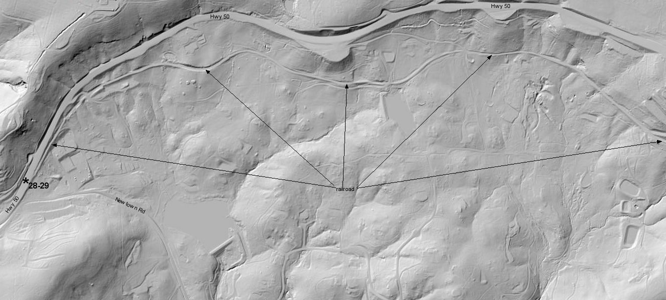
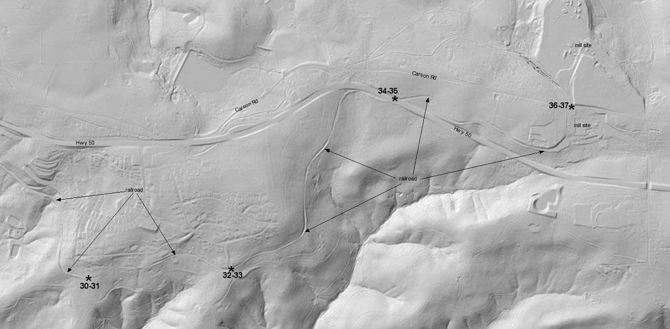
Google satellite and USGS Lidar images marked with the locations of the previous images.
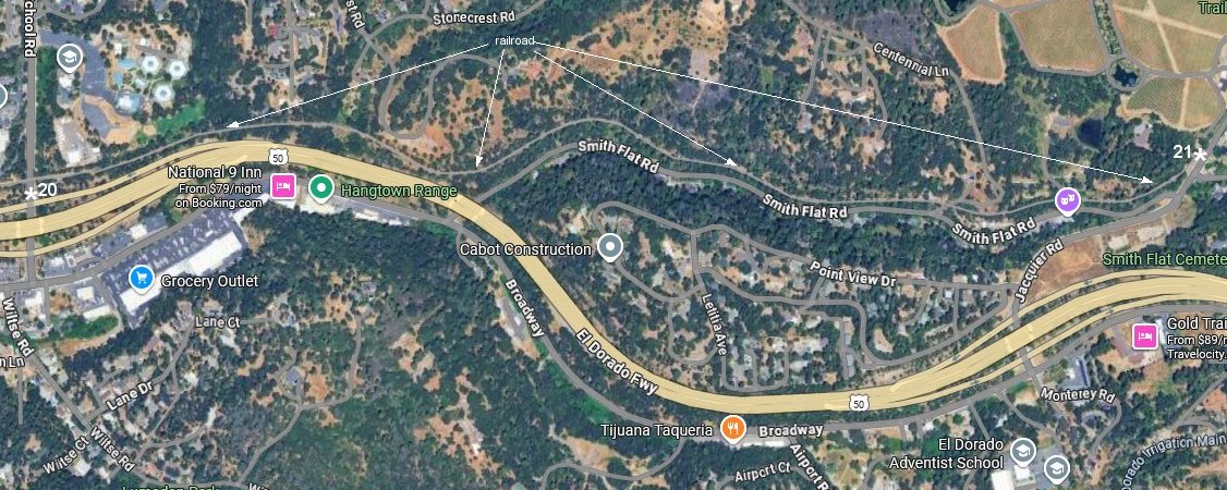
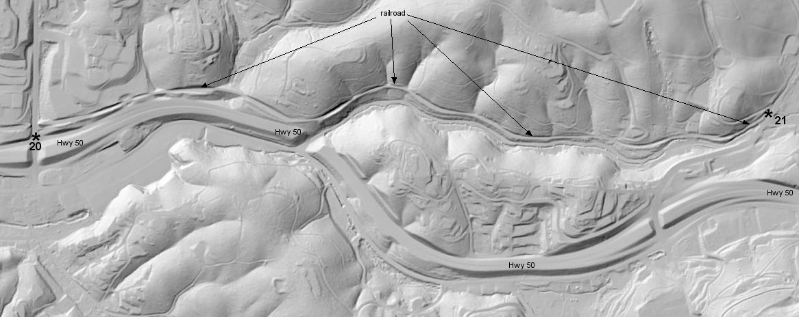
Google satellite and USGS Lidar images showing the railroad between image 20 above and image 21 below.
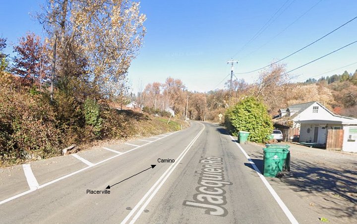
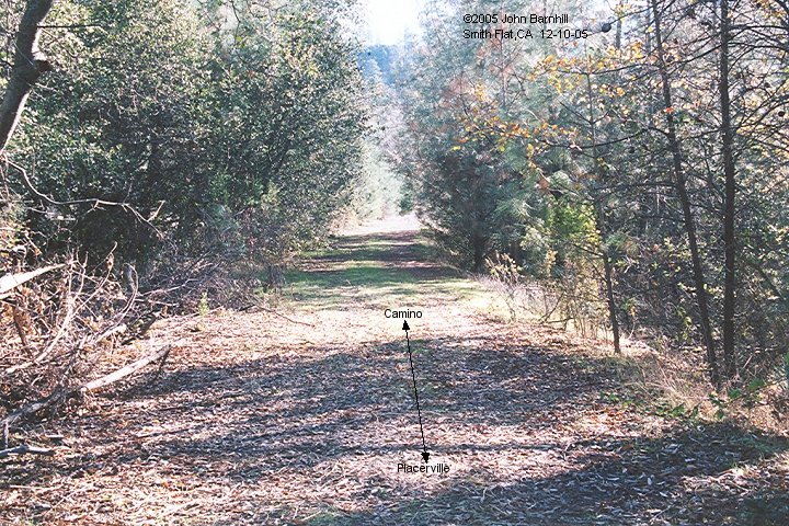
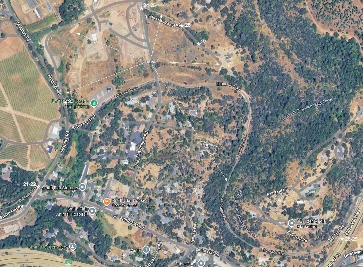
21. Looking back west down the right of way towards Placerville at Jacquier Road.
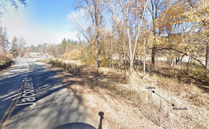
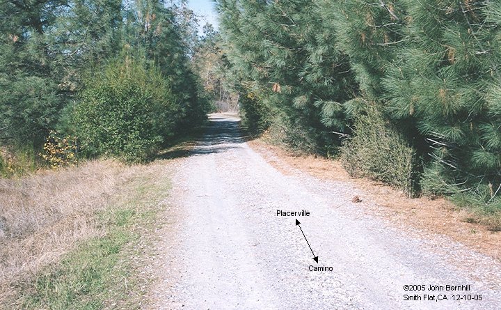
22. Same location looking toward the Placerville Lumber Co mill site and eventually Camino.
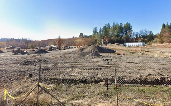
23. This view is along Jacquier Rd where the line turns away from the road and in to mill site.
24.-25. These views were taken at the end of Smith Flat Schoolhouse Rd looking both west and east.
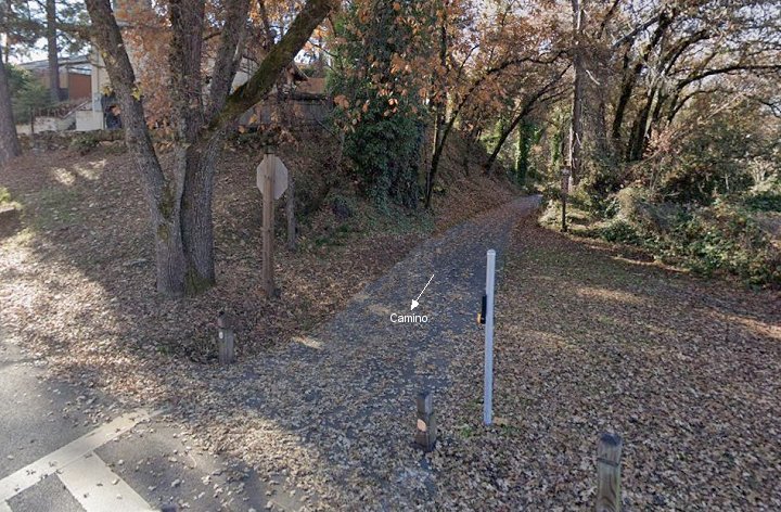
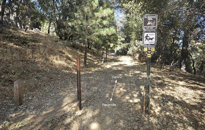
26.-27. This section was bypassed by the El Dorado Trail paved bike path.
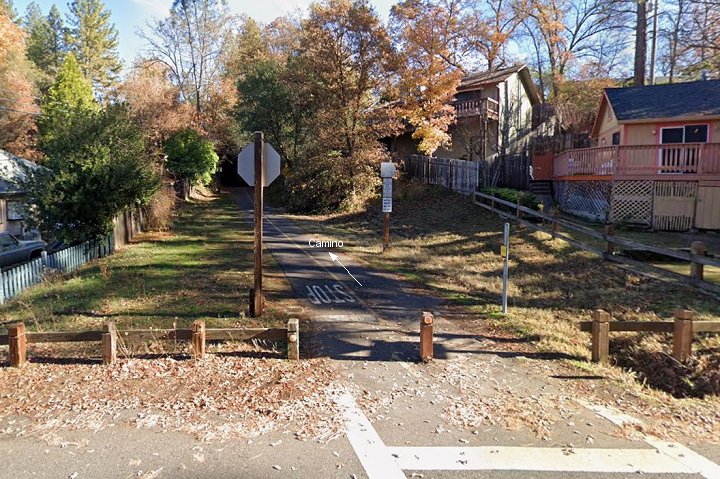
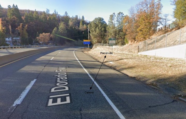
28.-29. The line once crossed Hwy 50 at grade here. The El Dorado Trail now uses an overpass in these Google street views.
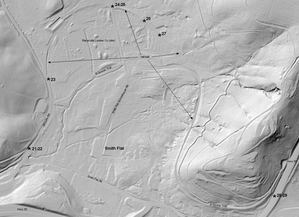
Google satellite and USGS Lidar images of Smith Flat marked with the above image locations.
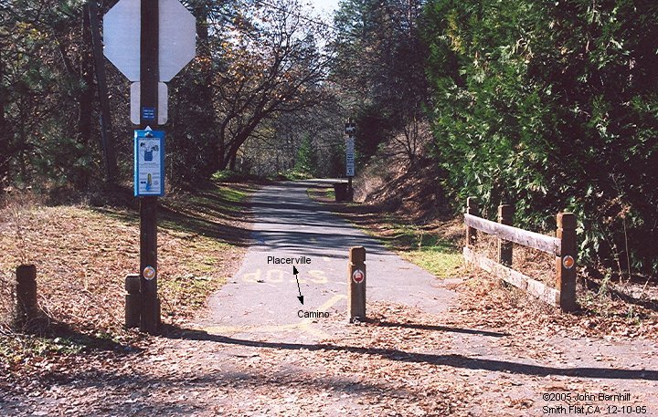
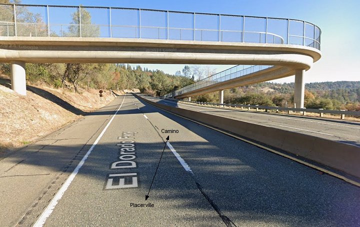
Camino
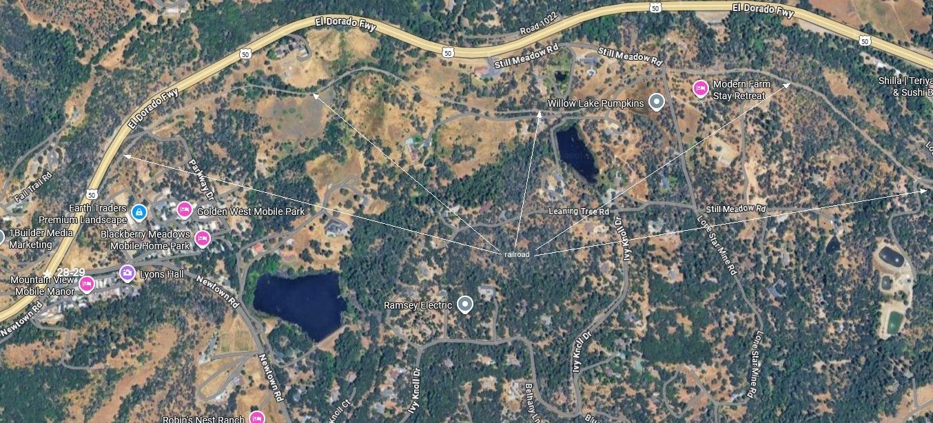
Google satellite and USGS Lidar images as the CPLT continues to climb towards Camino.
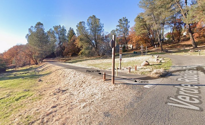
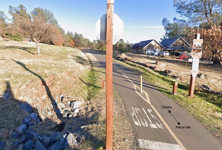
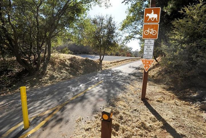
30.-31. West and east Google street views at the Verde Robles Drive grade crossing.
32.-33. West and east views at the Halcon Rd grade crossing. (Mountain Democrat/Krysten Kellum images)
34.-35. Google street west and east views of the second Hwy 50 grade crossing in Camino.
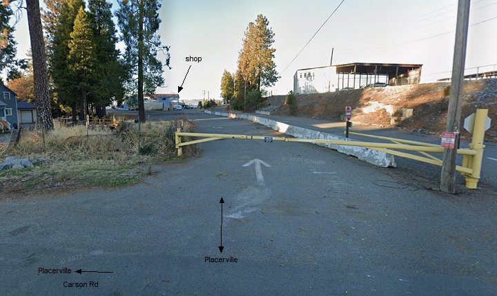
36. Looking south in this Google street view from Carson Rd where the CPLT has entered the mill site.
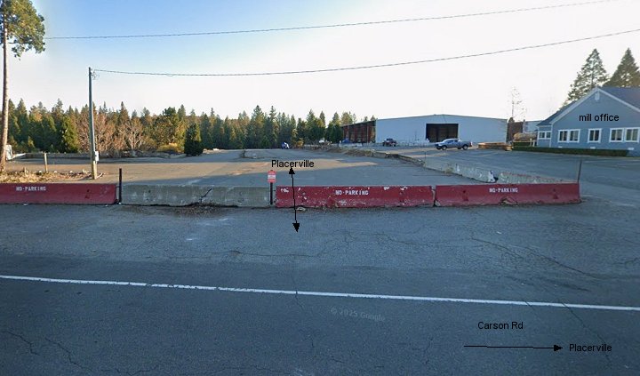
37. End of the line. Opposite north Google street view from Carson Rd. The shop building can be seen here.
Google satellite and USGS Lidar images of Camino, CA marked with the above image locations.