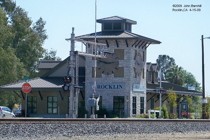
================================================== Quarry Rail Spurs
(Note: construction of the Quarry Park in 2018 and 2019 has destroyed most everything bordered by Rocklin Road, Pacific, Winding Wy and S. Grove St.)
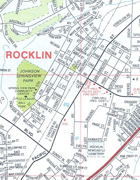
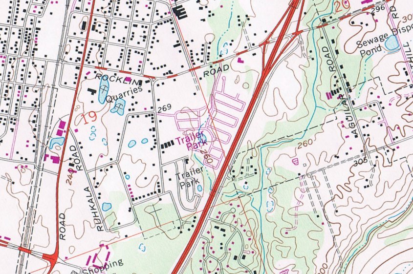
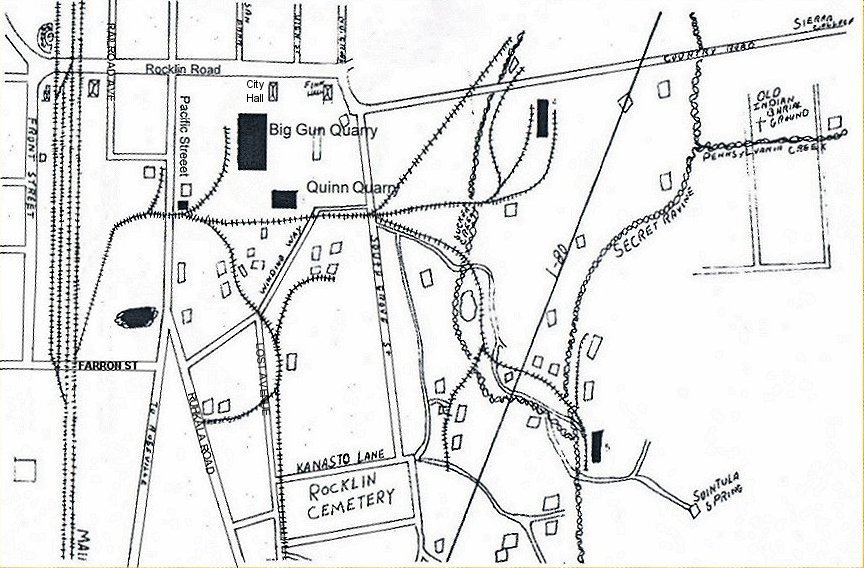
Rocklin had up to 68 granite quarries and many of them were once served by rail, the primary spur of which crossed Pacific St just west of Rocklin Rd.
(Reference the rail map above when viewing the following photo tour.)
1. The primary quarry spur takes off from the mainline just east of Farron Street.
2. One rail can be seen in many spots as the spur heads for the Pacific Street grade crossing.
3. Just outside the parking area for what is now Riebes Auto Parts and before the line crosses Pacific, a short spur takes off to the east.
4. Viewed looking the opposite way from the sidewalk of Pacific St at the crossing site, the short spur and primary spur can be seen.
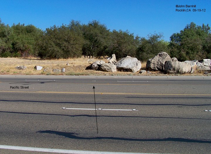
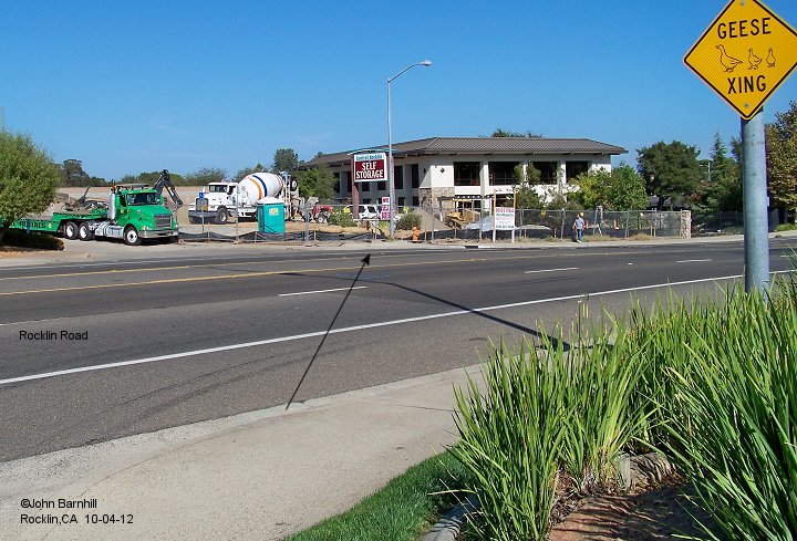
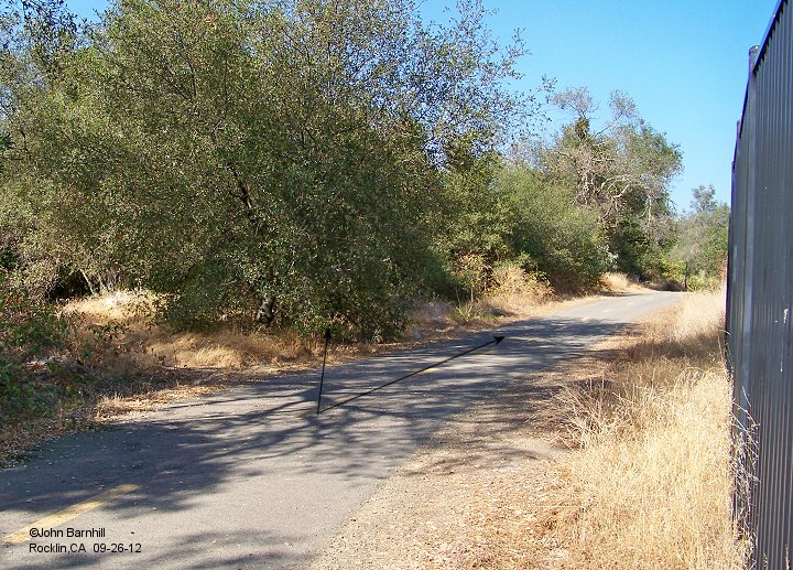
5. Looking south across Pacific. If one looks closely at the base of the large rocks across the street, there is a piece of exposed rail to mark the spur's location.
Much of the next couple hundred feet of line has been buried with fill in recent years.
6. View back north across Pacific Street from atop the fill area.
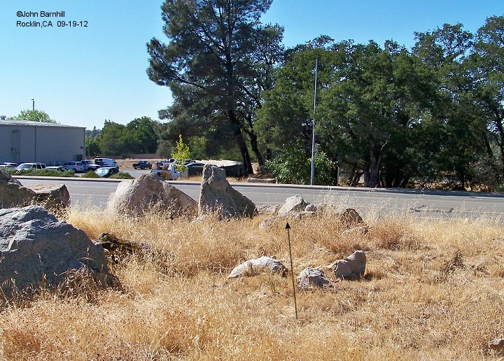
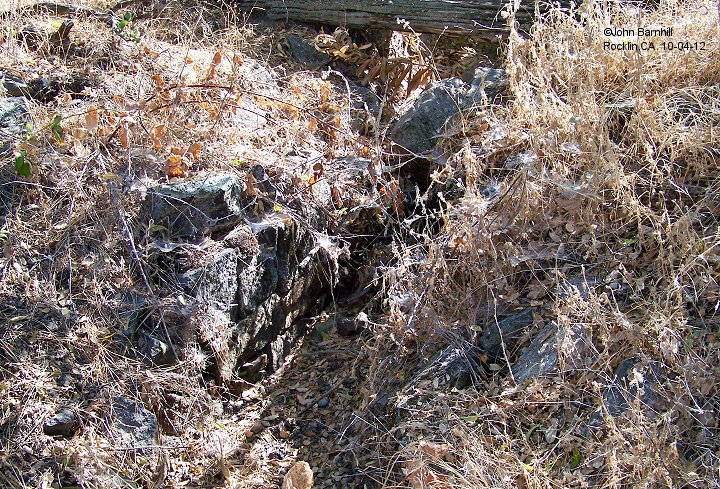
7. A small break in the filled area exposed the first of many switches allowing spurs to run in several directions to many quarry pits.
The primary spur heads east here to the Big Gun pit but is buried from this point on. There are still ties here for another spur heading southwest. Shortly this line splits again
to form two main spurs, one heading south and one southwest.
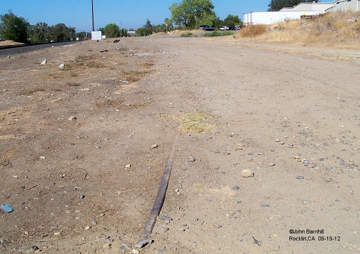
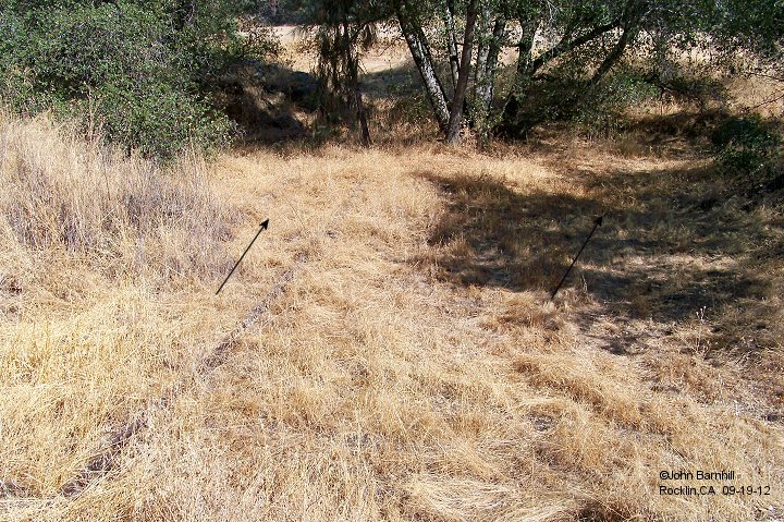
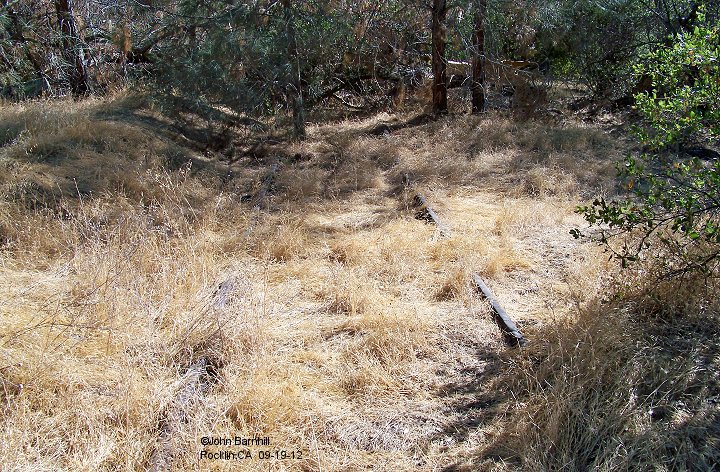
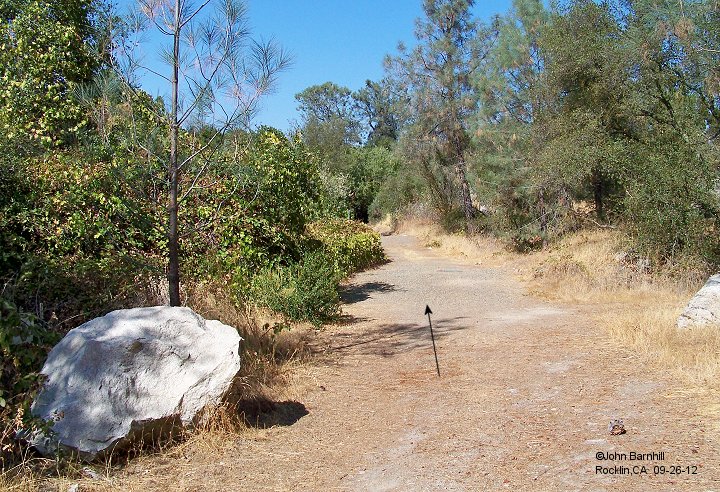
8. The southwest line can be picked up again on the other side of the fill area. This is the only spur to be found that has rail in place. It continues on for some distance
with a couple side spurs and eventually passes along the north side of the Rocklin Cemetary.
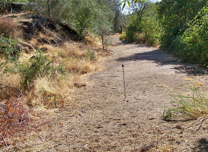
9. A further view along the southwest line.
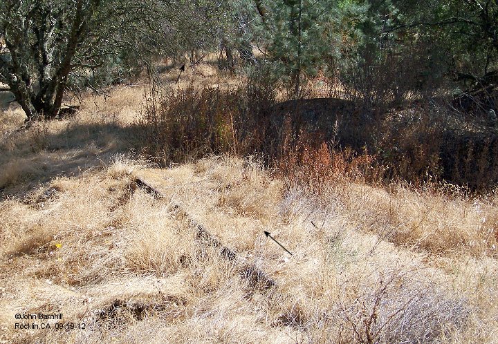
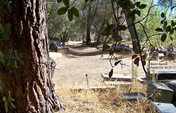
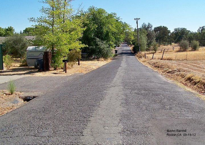
10. Here this line enters the residential area that has grown up since the line was in use.
11. Looking back from the same spot as image number 10.
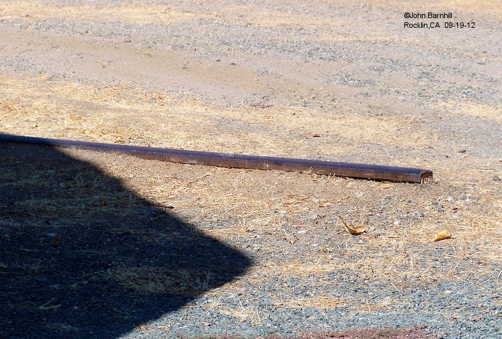
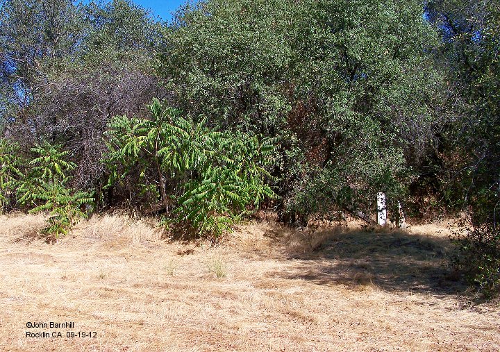
12. At the corner of Winding Way and Lost Ave the last of the rail along the southwest line can be seen sticking out of the ground in someone's yard.
13. and 14. Also taken from the same intersection, image 13 looks across Winding Way to where some kind of rail served structure once sat within the trees.
Evedence of ties can also be found amongst the trees. Image 14 looks down Lost Ave. The line continued in this direction just to the south of the road where a row
of homes is now located.
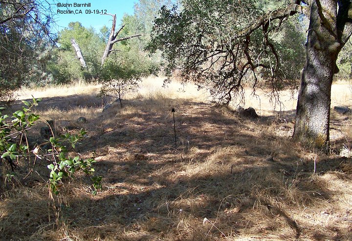
15. A bit down Lost Ave, another spur takes off from the southwest spur to serve two quarry pits near Ruhkala Road.
16. Here we see a small culvert under the right of way for this spur near the quarry pits.
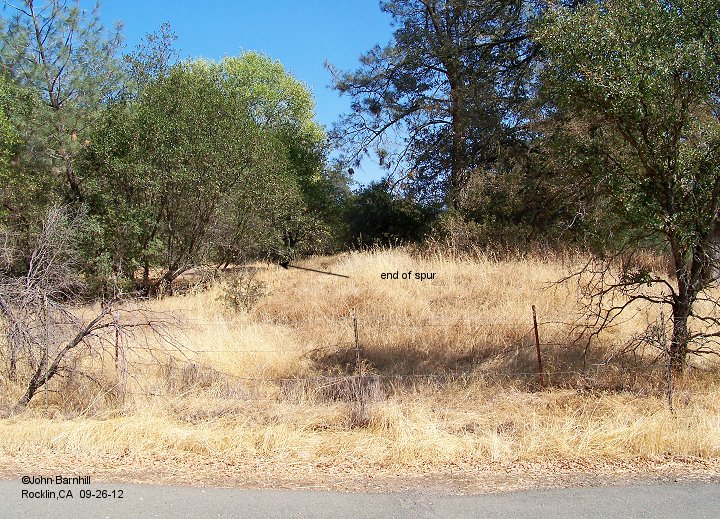
17. End of the spur taken from Ruhkala Road looking back towards Lost Ave.
18. The south spur departs the southwest spur near the primary spur and continues generally south till it eventually
crosses I-80 and Secret Ravine. Several other spurs take off of this main line. Here we look back north from Winding Way towards the primary spur. Quinn Quarry
is just visible to the east in the image.
19. Same spot as image 18, view looking south.
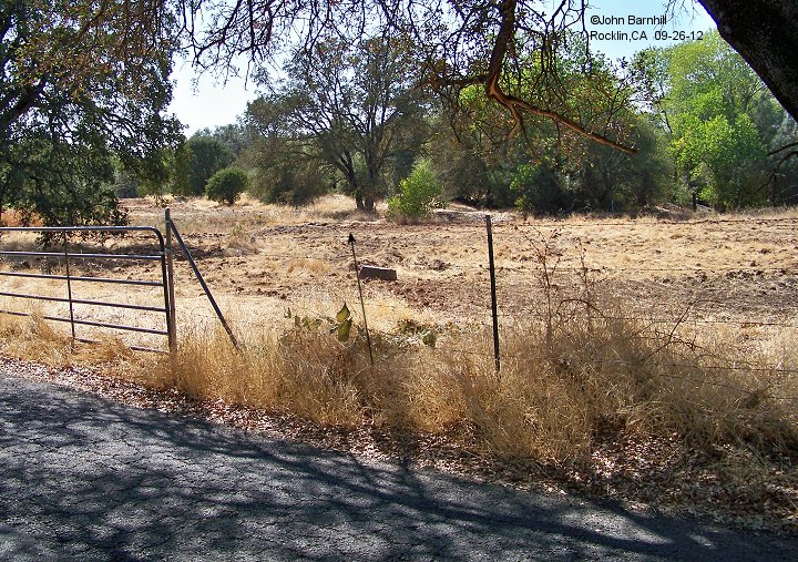
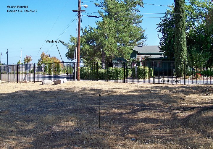
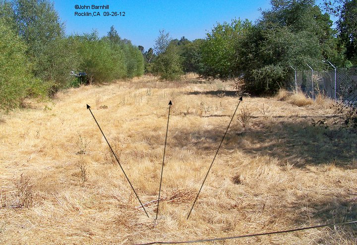
20. At the intersection of Winding Way and South Grove, two spurs leave the south spur. The one to the left in the image makes
a beeline straight for the quarry where the library now stands. The middle spur in the image heads towards the two large motels near the freeway. The south spur itself
vears slightly to the right. (note: As of 2014, this plot of land has been redeveloped removing all possible traces of these spurs.)
21. Further along the "library" spur as it crosses Rocklin Road.
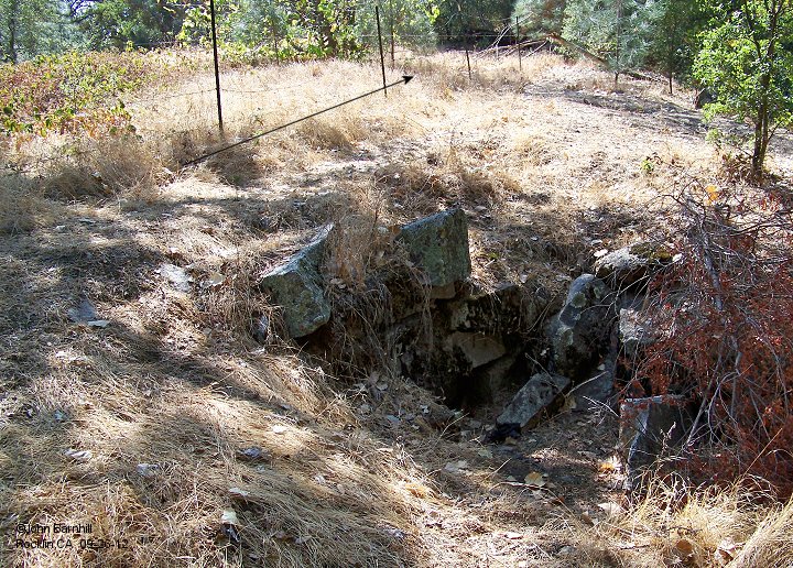
22. This culvert lies a little further up the "motel" spur from image 20.
23. On its way to cross I-80, the south spur passes right through the clubhouse of the
Sierra Lakes Mobile Home Park at the corner of Lakeside and Creekside.
24. End of the line for the south spur looking back "north". This line crosses I-80 to serve three more quarries. Just to the right in this shot
lies the westernmost pit.
25. Another view furthern "north". The line to the left is where the south spur crosses Secret Ravine. The line to the right heads to the eastermost of the three
quarries.
26. A little further up the spur serving the eastern quarry.
27. Looking back along the line from the easternmost quarry pit.
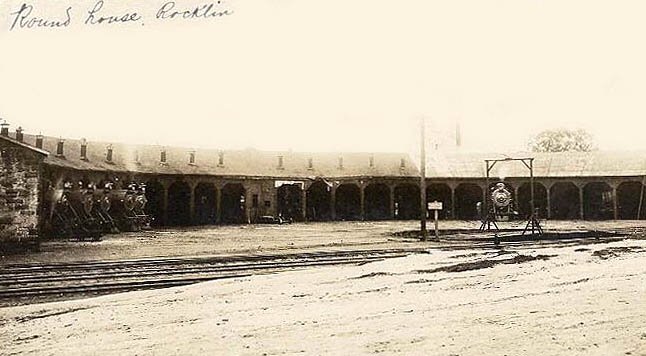
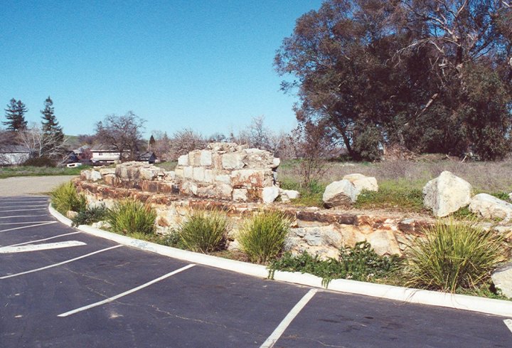
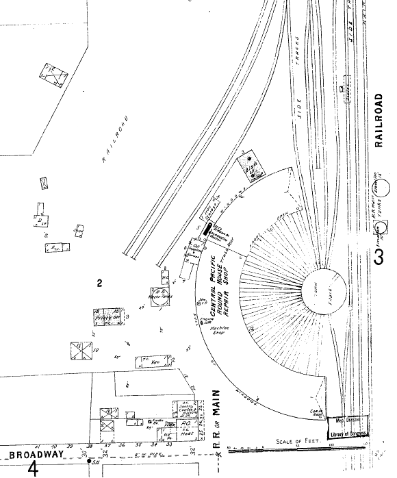
1. Historic view of the Central Pacific roundhouse at Rocklin Rd.
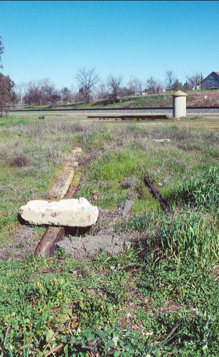
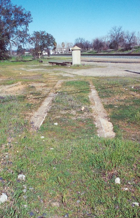
2.-4. Remains of the roundhouse are still quite evident at the time of these images.
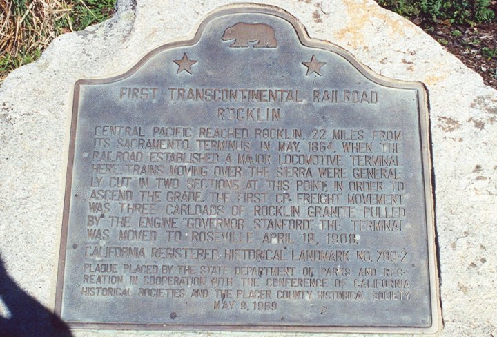
5. Also displayed here is the historical plaque for the transcontinental railroad.
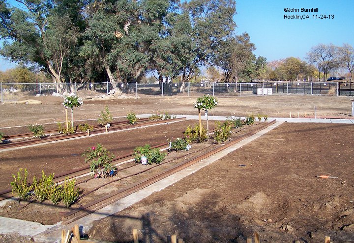
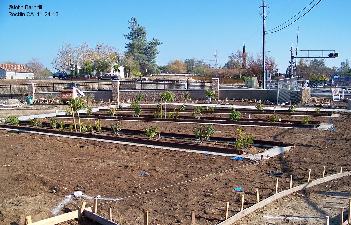
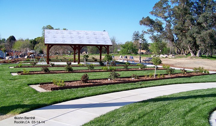
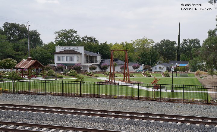
6.-10. In 2013 a project had been started to turn the site into a garden/park as seen in the above images.
The individual servicing pits have become flower beds and a non functioning turntable replica installed near where the original stood.


