The Yosemite Short Line Railway was a 2 ft 6 in (762 mm) narrow gauge railway. The plan was to construct a railway 60 miles (97 km) long, serving logging interests and tourists visiting the Yosemite National Park.
Construction commenced in 1905 but construction was abandoned due to the financial crisis caused by the 1906 San Francisco earthquake, with only 8.5 miles (13.7 km) constructed. The railway was abandoned by 1917.
Locomotive power was provided by two Porter 0-4-0T steam locomotives.
Locomotive Roster
Number
Type
Builder
Bldr.#
Built
History & Notes
Dispositon
#1
0-4-0T
Porter
#3329
1905
to Empire City Ry #1
#2
0-4-0T
Porter
#3330
1905
to Empire City Ry #2
#3
0-4-0T
Porter
#3467
1906
ordered but not delivered
to Empire City Ry #3,
to Southern Oregon Lumber
Along The Line
(This page is made up entirely of Google street and satellite views and USGS lidar images)
These images follow the Yosemite Short Line south from Quartz Jct to Don Pedro Resevoir.
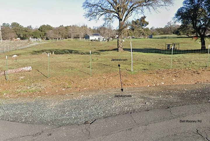
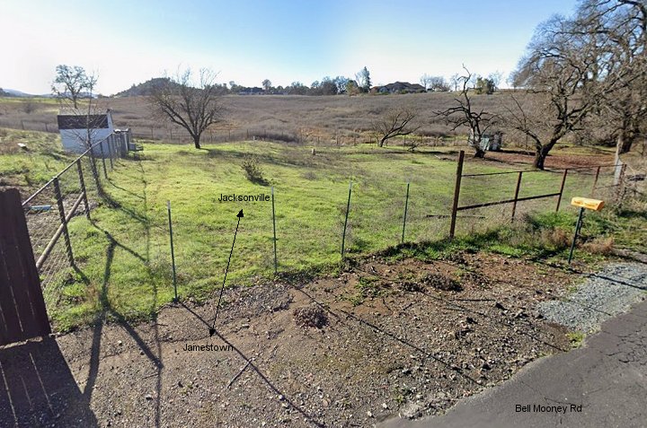
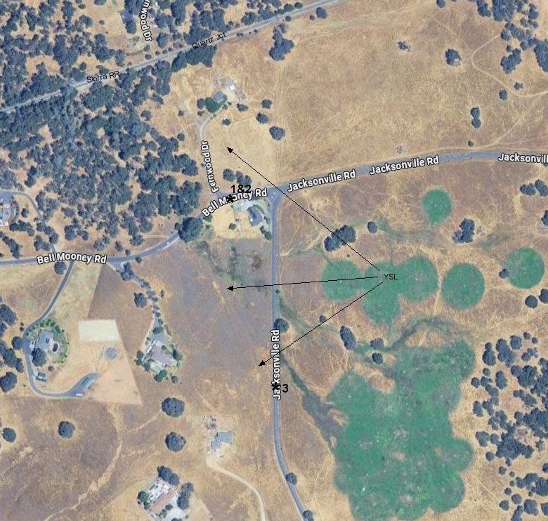
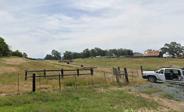
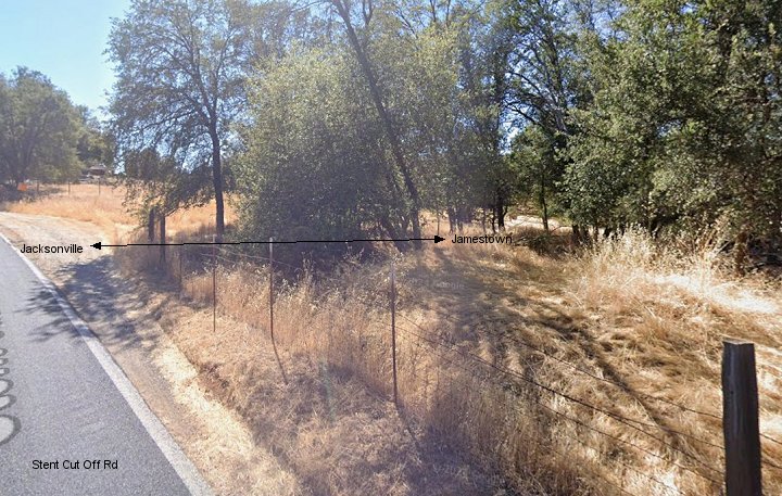
1.-2. North and south views near the intersection of Bell Mooney Rd and Jacksonville Rd.
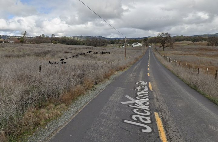
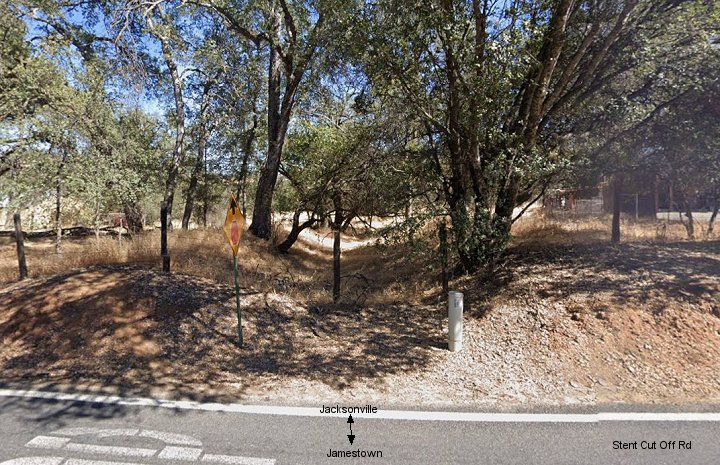
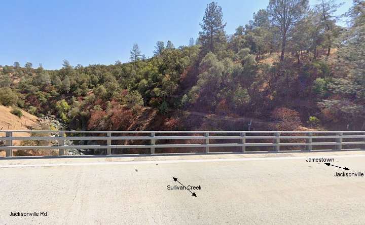
3. This view looks north from Jacksonville Rd just a bit further south than the first two images.
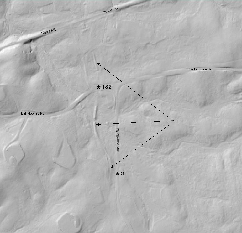
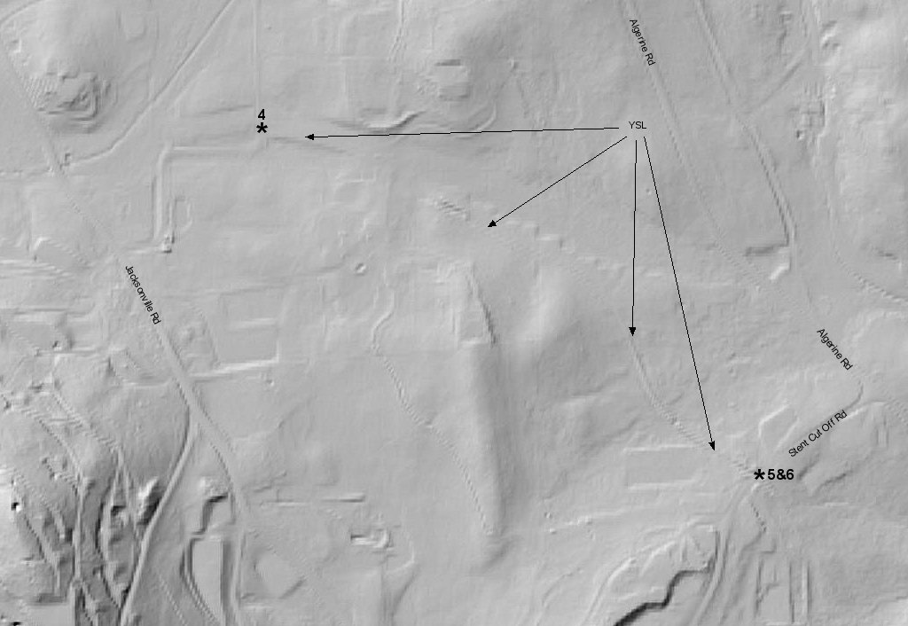
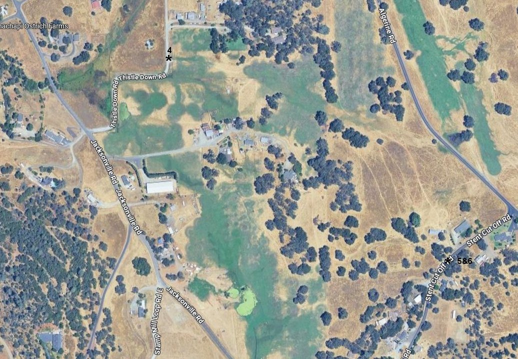
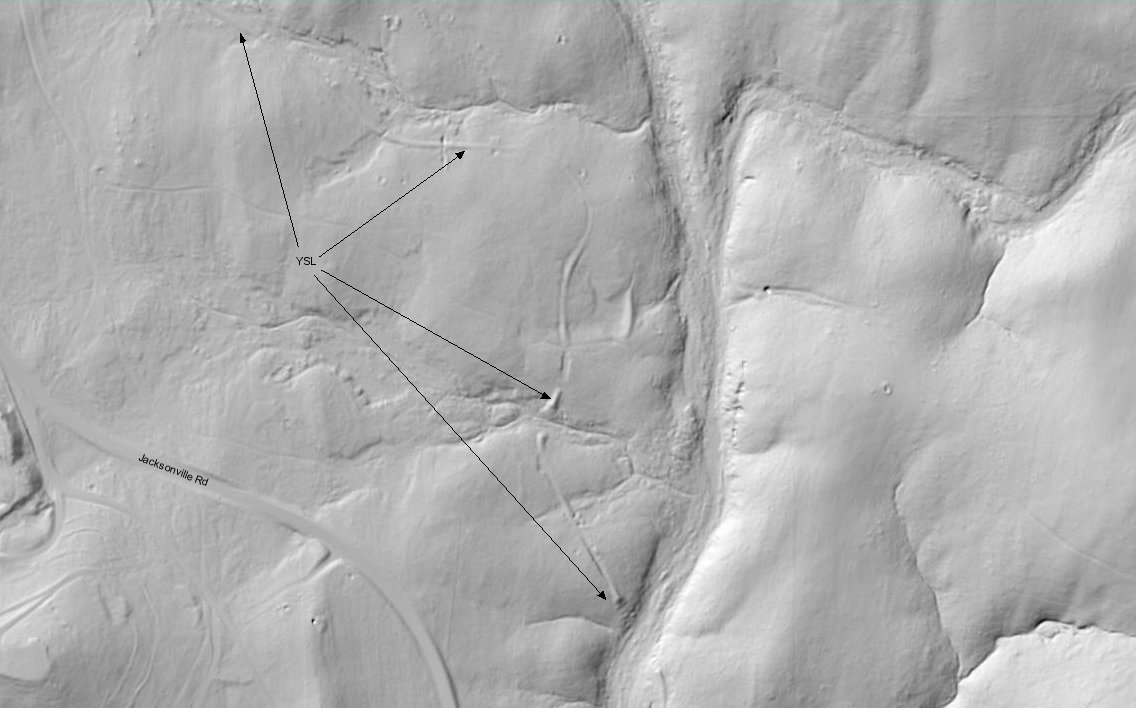
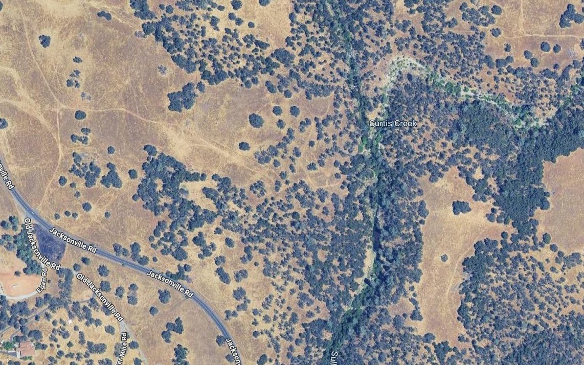
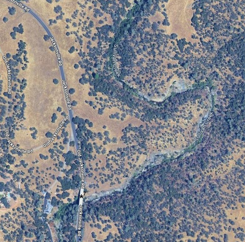
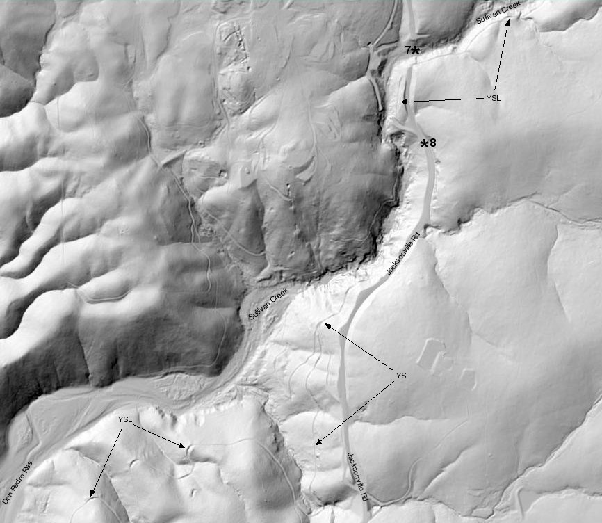
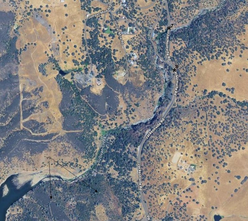
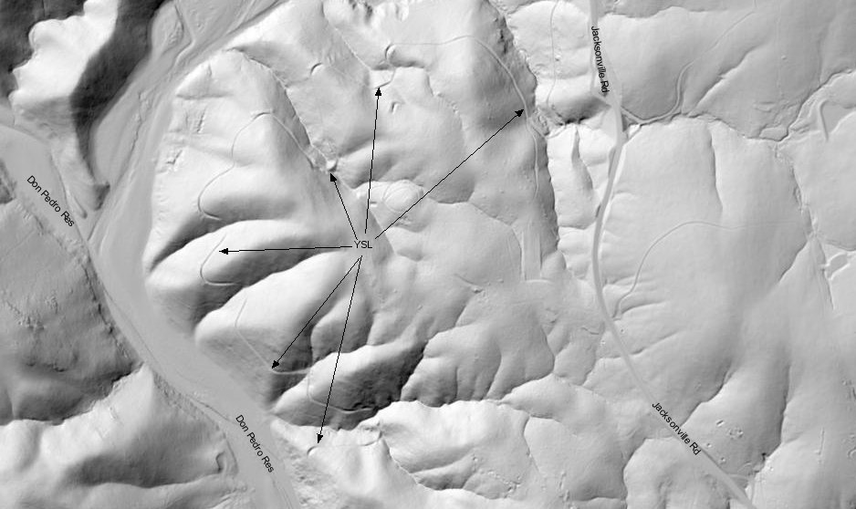
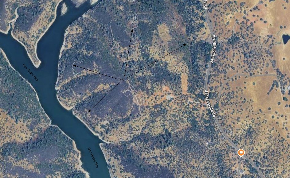
USGS Lidar and Google satellite views marked with above photo locations.
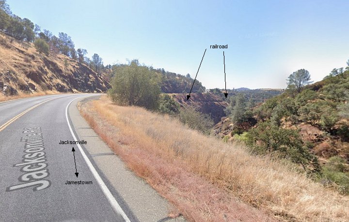
8. This southward view is located just south of image 7. It shows the imfamous cliffside travel of the YSL seen in several sources.
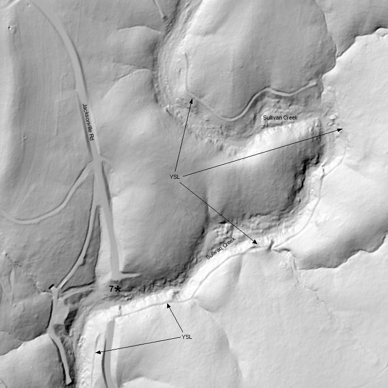
USGS Lidar and Google satellite views marked with the location of image 8.
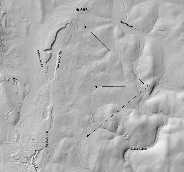
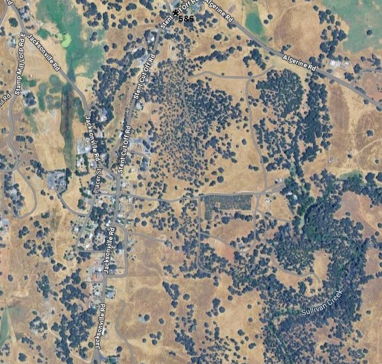
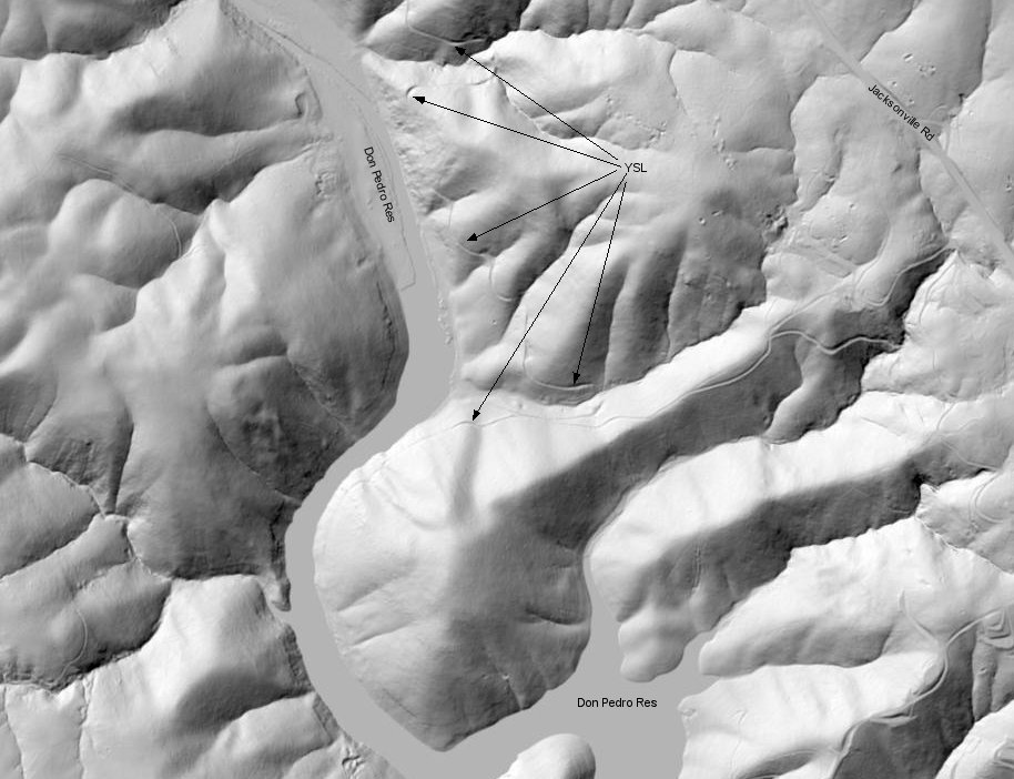
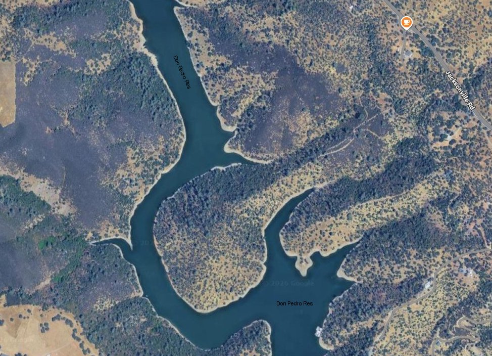
With no more Google street views available of the right of way, these USGS Lidar and Google satellite views
follow the line until it disappears below the waters of Don Pedro Resevior.