1. Looking back towards Camino from South Cable. This view is along the post 1928 alignment.
2. Remnants of where the cable reels stood behind the south tower.
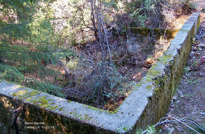
3.-4. The foundation for the south tower.
5. The view directly across the canyon from the south tower is blocked by trees now. A better view is provided a few dozen feet to the east.
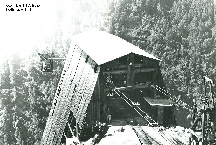
1. A classic image from North Cable looking across the canyon to S.Cable. (John Barnhill Collection)
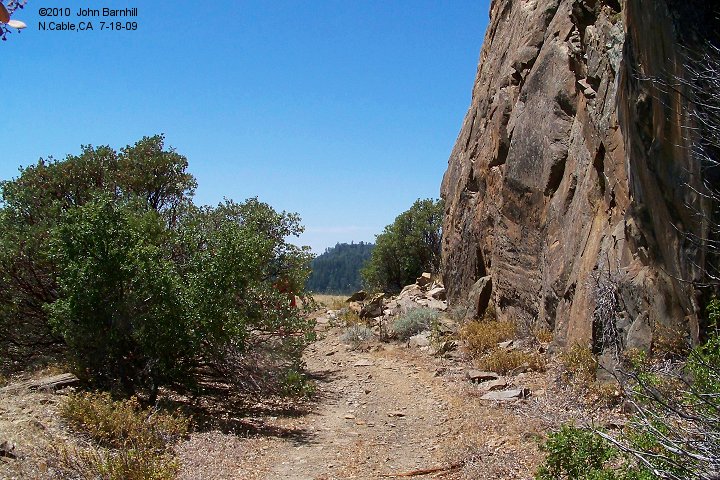
2. Approaching N.Cable from the north on the main.
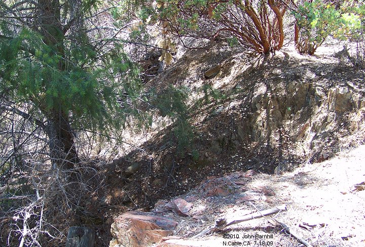
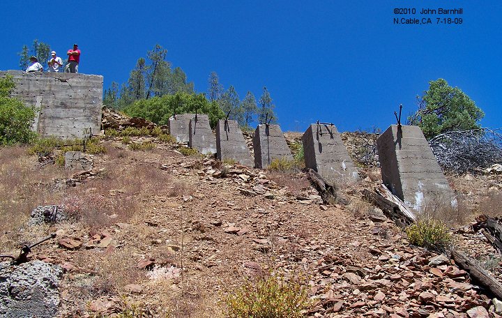
3.-4. Just to the left of the previous photo, these indentations were for the trestle supports to hold up the staging tracks.
5. The staging track still has some ties in place.
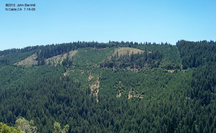
6. South Cable viewed across the canyon. The south tower was located at the far right of image. The roadbed to Camino can be seen heading to the left.
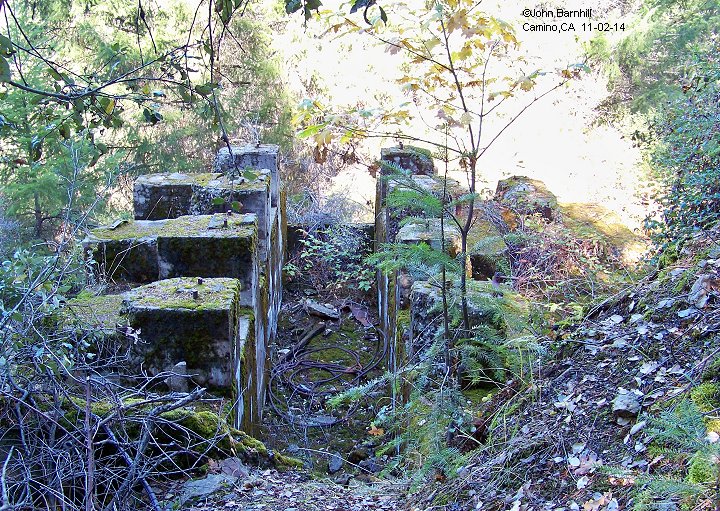
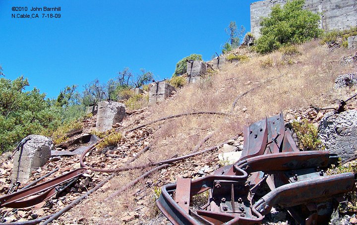
7. Supports for the north tower are still evident.
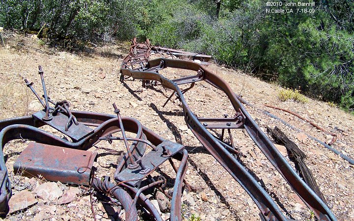
8. This is the twisted remains of the small incline railroad that led to chute camp.
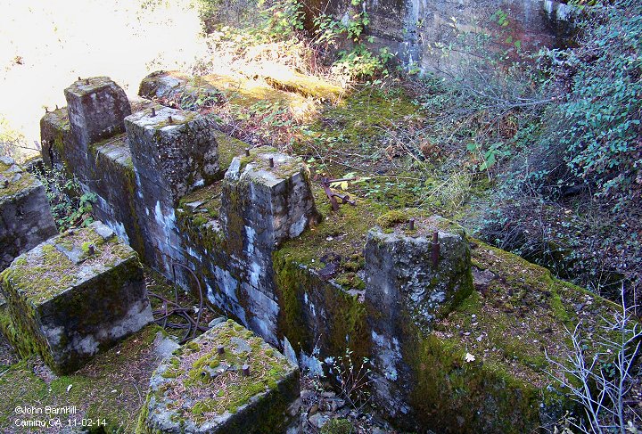
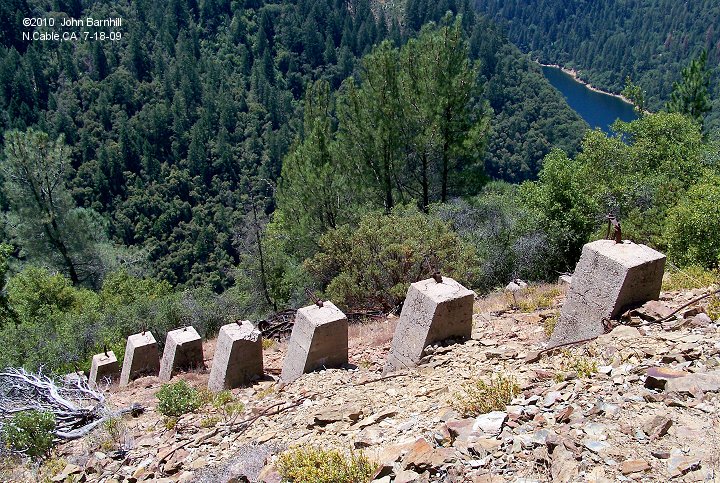
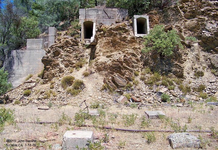
9.-10. Views from below amongst the remains of the tower.
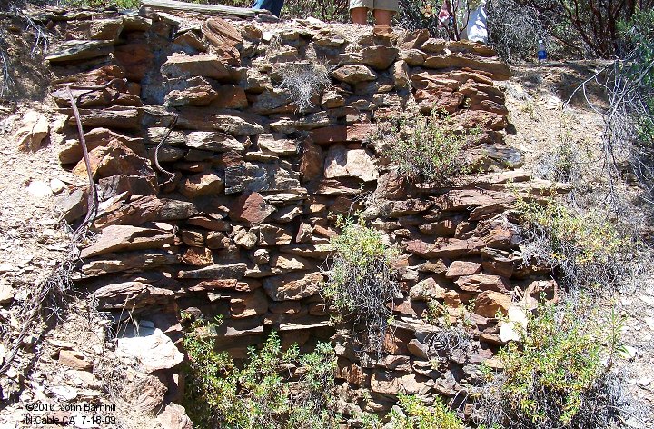
11. The cable anchor points along with the foundations of the pulley tower.
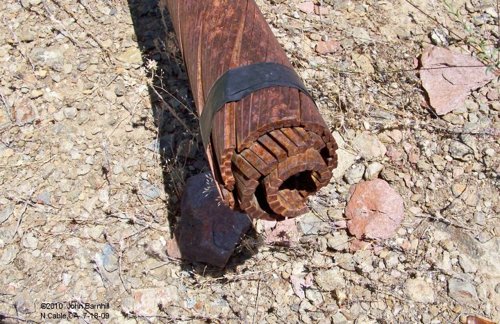
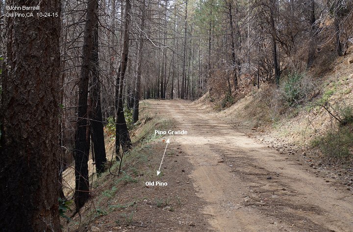
12. Some of the main cable still lies around. Note the different layers used to make it up.
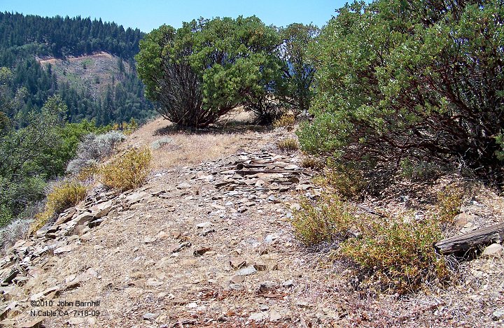
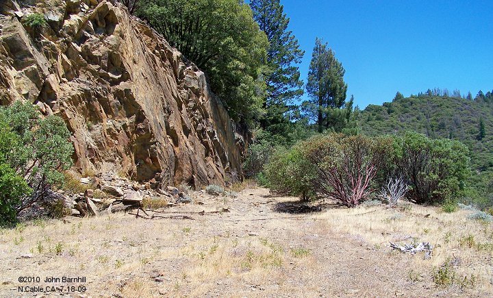
13. Leaving north along the main towards Pino Grande.
Near Old Pino (Camp 4)
(note: some images are numbered out of sequence)
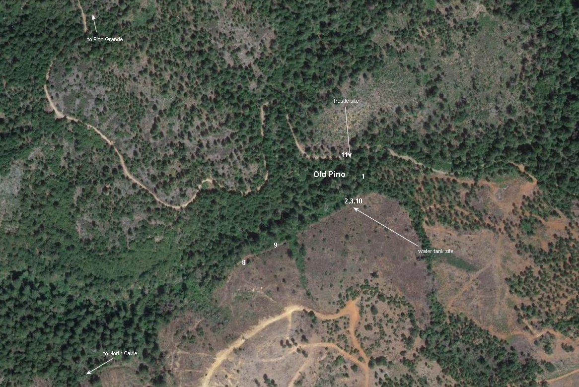
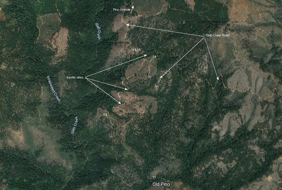
Aerial is marked to indicate where these and the next few images are taken.
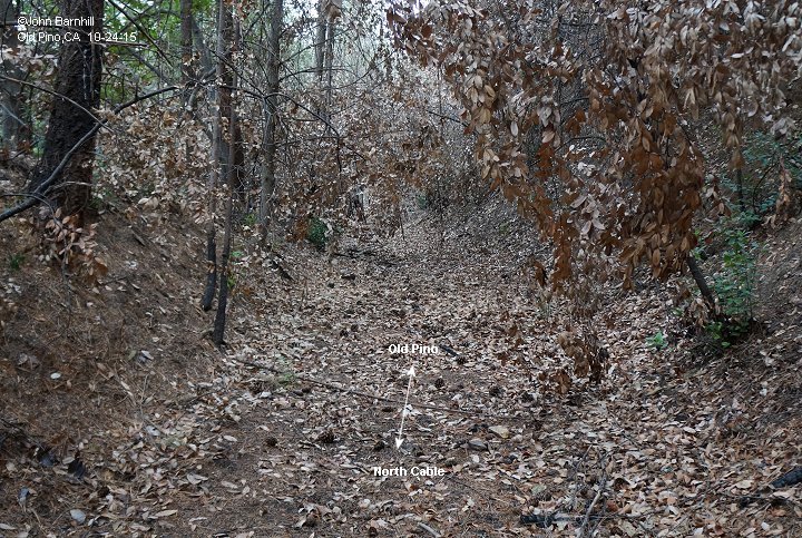
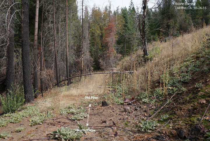
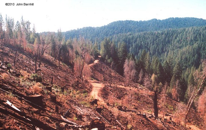
8.-10. The mainline just south of Old Pino. Image 10 looks south from the water tank site.
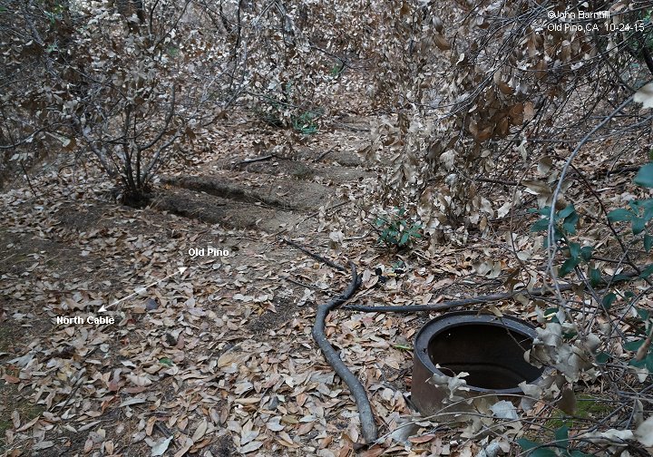
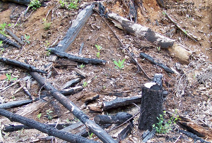
2.-3. Nearby on the main are the remains of a water tank. Not much left but a few burned timbers and long bolts.
Image 3 is looking north along the main. The camp site is just to the left.
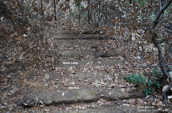
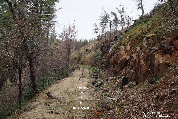
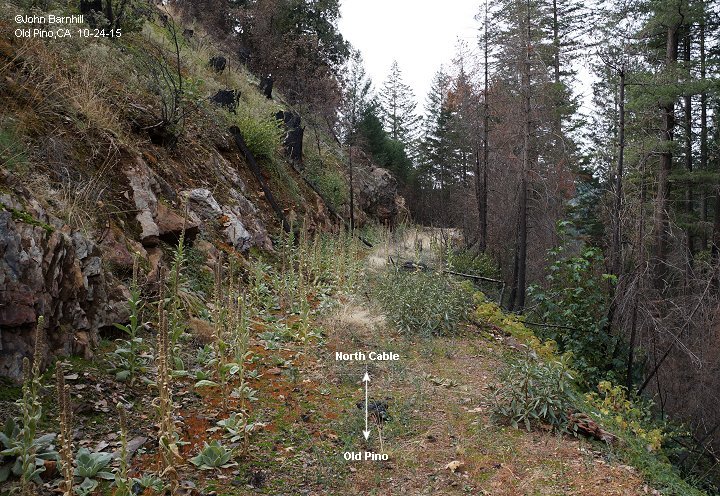
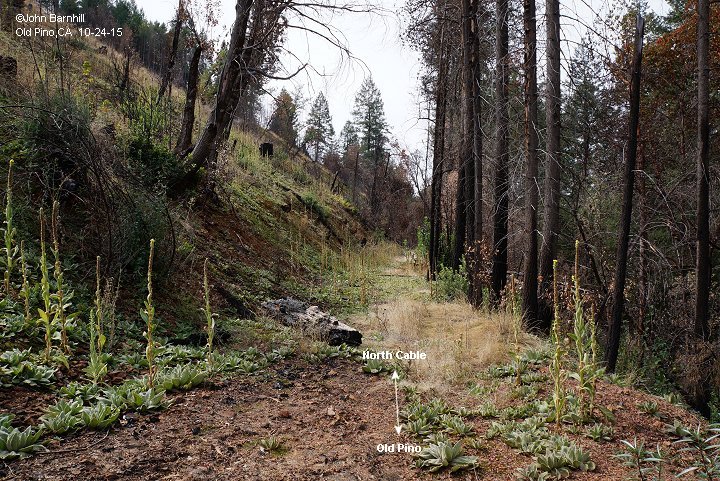
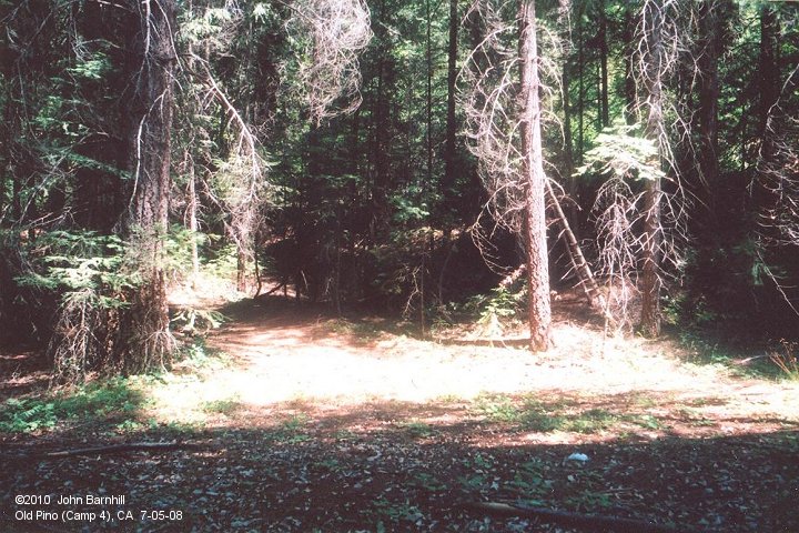
1. Not much exists but a flat spot in the woods to mark Old Pino/Camp 4.
11. A small trestle crossed to the north side of the creek in camp. Image 11 is at the north side of the trestle looking further north.
Aerial is marked to indicate where images were taken and point out a couple other details.
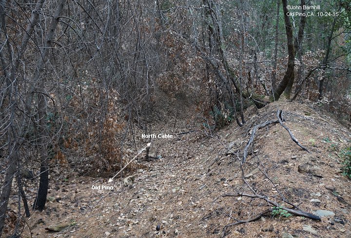
12.-13. A couple views along the right-of-way just south of Slab Creek Road.
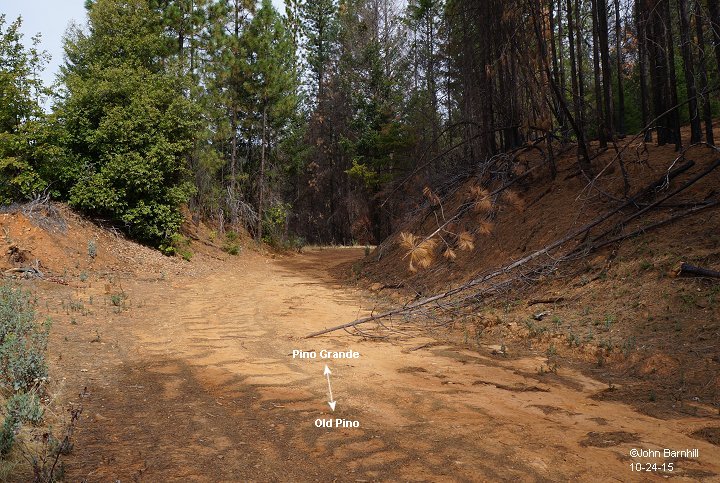
14. Looking towards Old Pino from Slab Creek Rd. View taken from just south of the following images as the main winds through a clear cut.
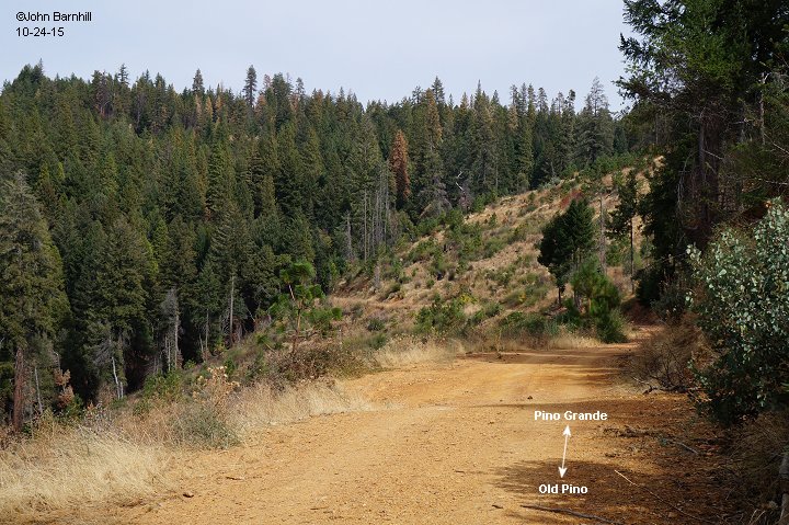
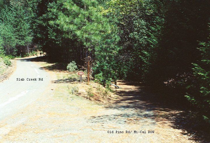
15. Here the right of way leaves Slab Creek Rd to head south to Old Pino.
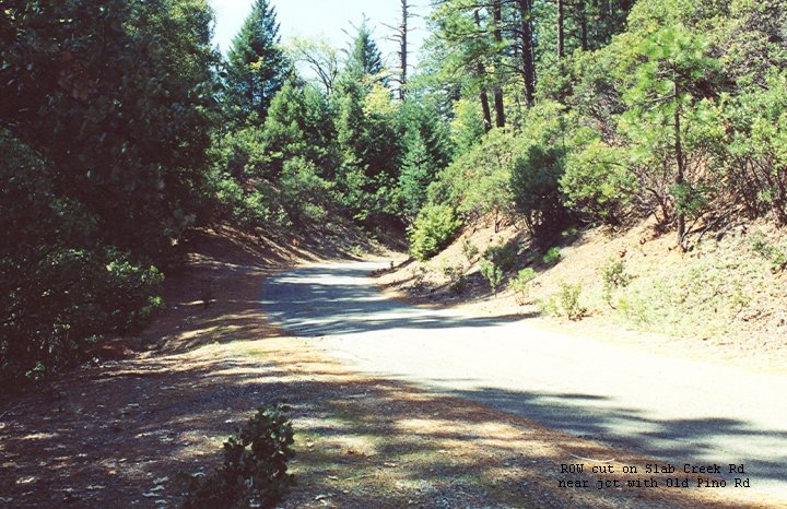
16. Just a few feet north of the previous photo is this cut on Slab Creek Rd enlarged from railroad days.