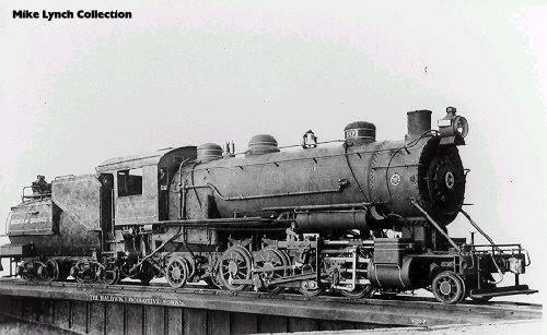
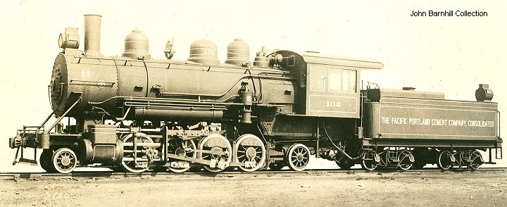
5. Builder photo of #102 (John Barnhill Collection)
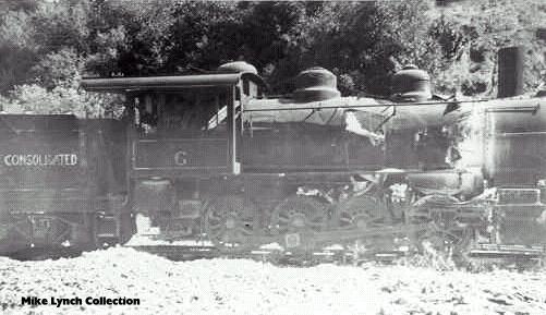
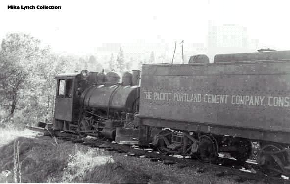
6. #103 is distinguished from #101 and #102 by the steps on the front. (Mike Lynch Collection)
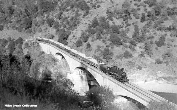
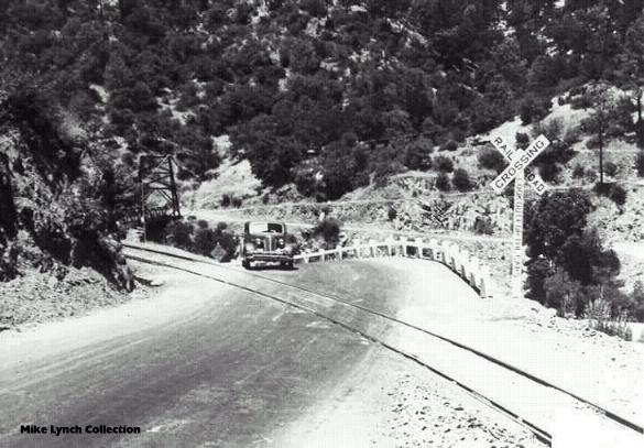
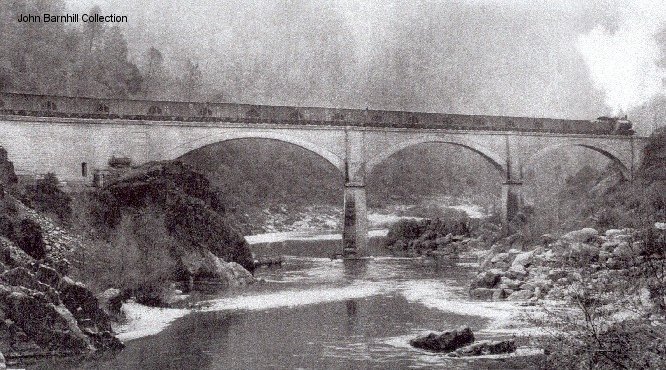
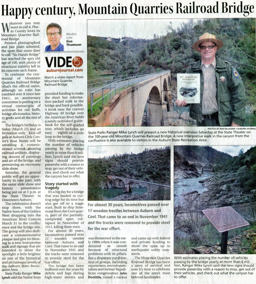
7. Classic shot of #103 on No Hands Bridge (Mike Lynch Collection)
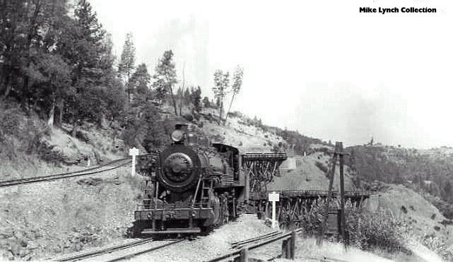
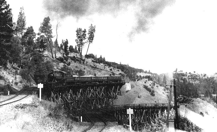
8. Again we see #103, this time at the Twin Trestles, #3 and #4, near the switchback. (Mike Lynch Collection)
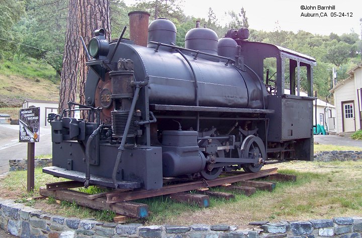
9. The only surviving loco, #202, was a small saddletank switcher. (Mike Lynch Collection)
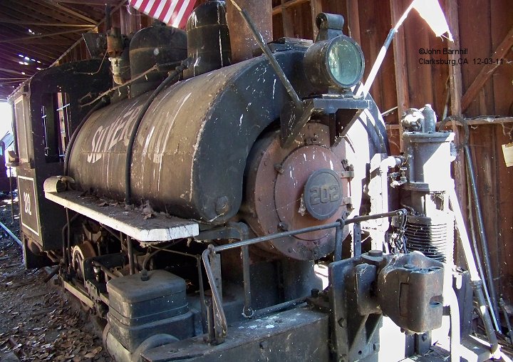
10. #202 seen at Silverbend Farms, a Christmas tree farm in Clarksburg,CA. 10-17-00. (Dave Epling image)
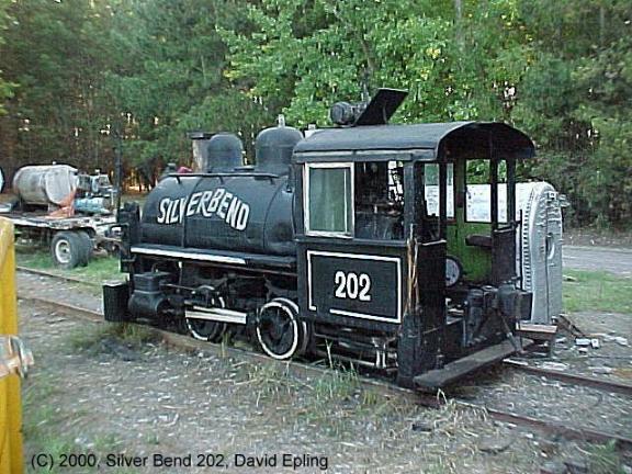
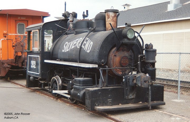
11. During Auburn's Depot Days, #202 was briefly on display at the Chamber of Commerce. (John Rosser image)
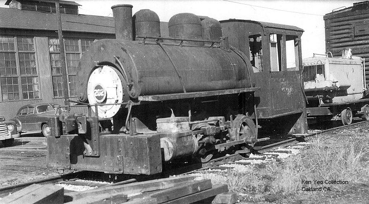
12. #202 was found in Oakland after being sold to McCormick & Baxter. (Ken Yeo Collection)
13. #202 seen again at Silverbend Farms in Clarksburg,CA
14. As part of the MQRR 100 Year Anniversary, #202 has been brought to Auburn and undergone some cosmetic work. Lettering has yet to be applied.
15. #202 arrives at her new home in Willits. Jan. 2014. (Chris Baldo image)
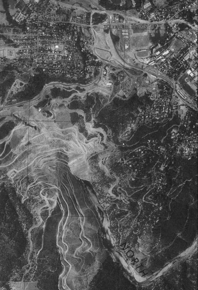
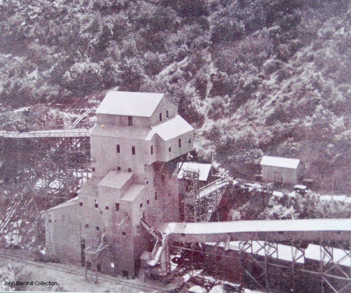
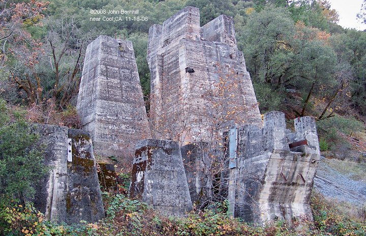
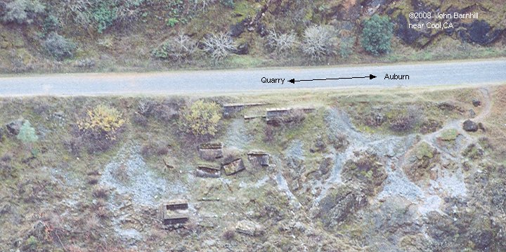
Blasted limestone was dropped through a chute called a glory hole to a cavern that ran beneath the quarry.
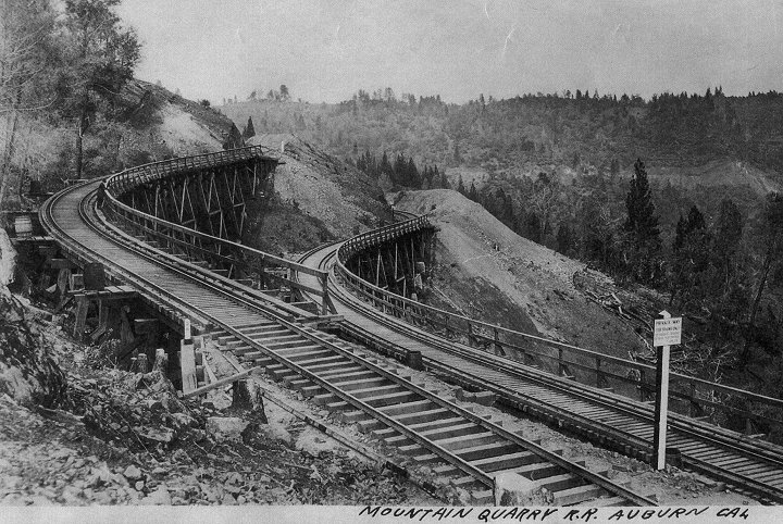
The limestone was loaded into ore cars inside and brought to the crusher/loadout on a curved trestle.
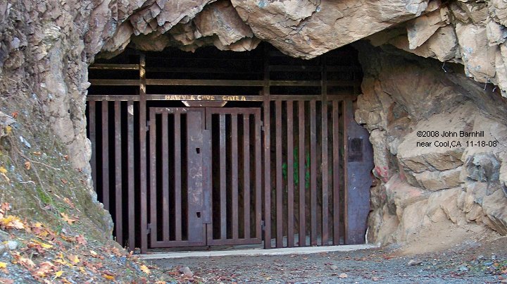
5. A heavily constructed gate keeps tresspassers out.
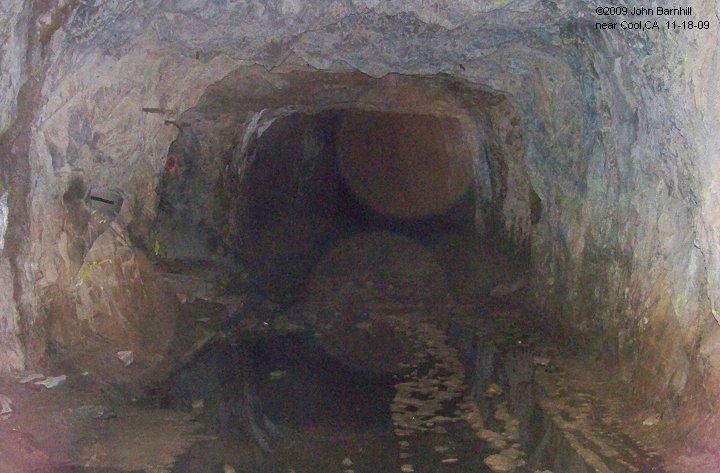
6. A look into the tunnel, Hawver Cave, which was once a natural cavern.
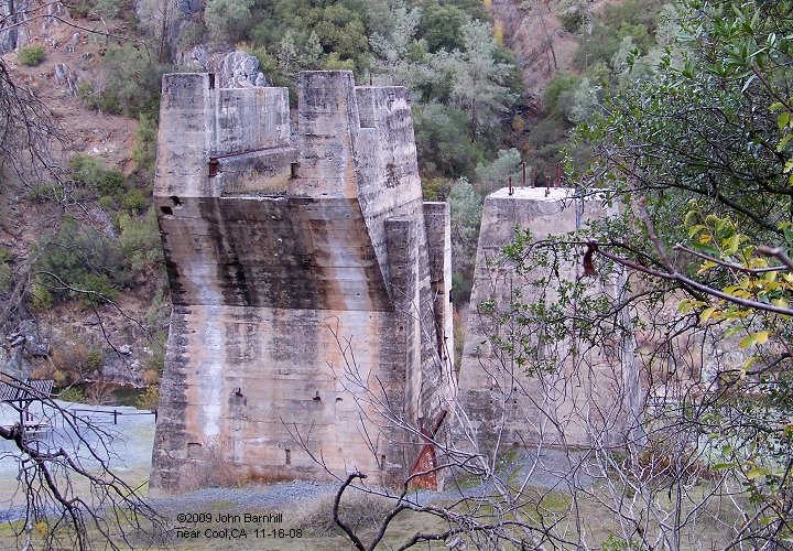
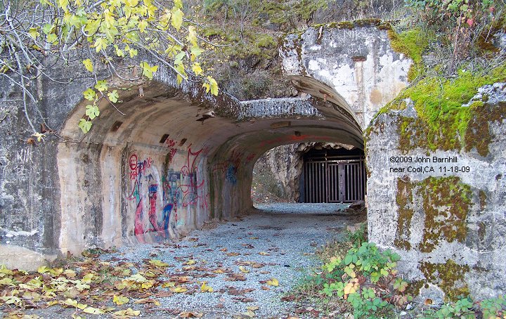
7. The original concrete tunnel portal through which the ore cars passed.
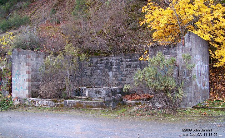
8. This building just outside the cavern housed heavy equipment of some sort.
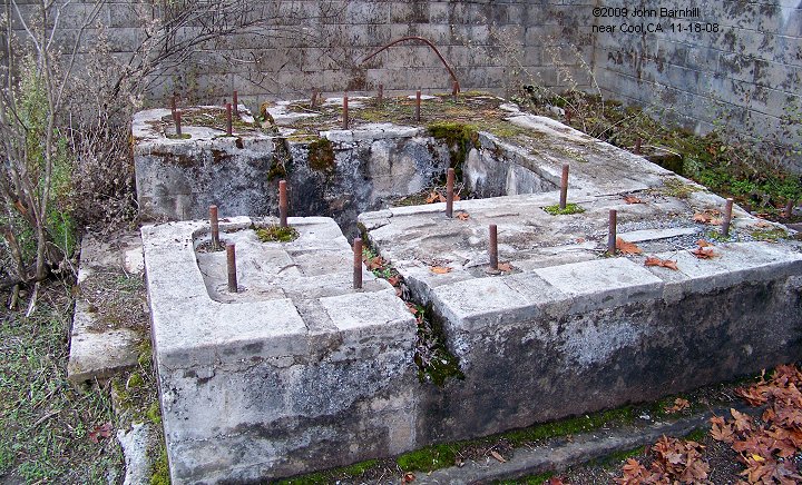
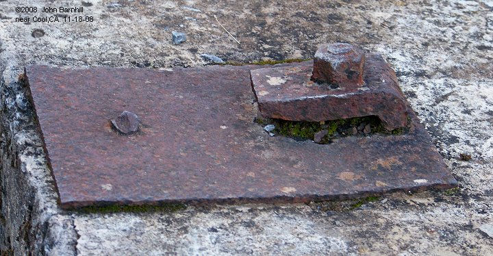
9. Inside is the base the equipment sat upon.
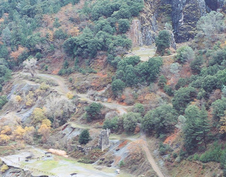
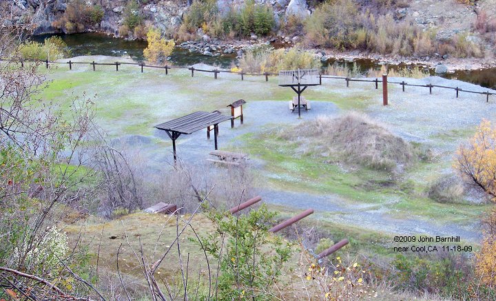
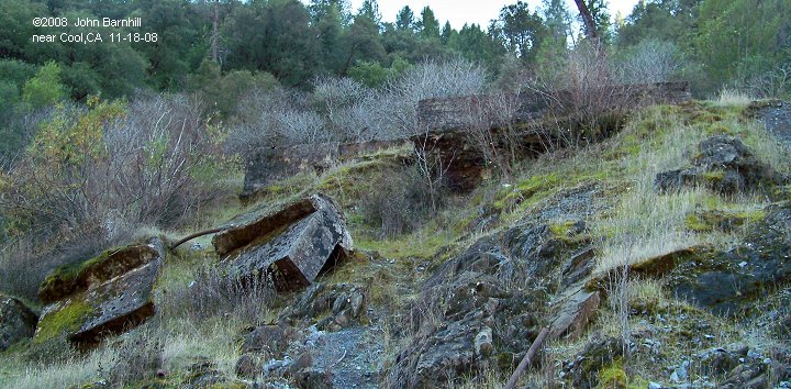
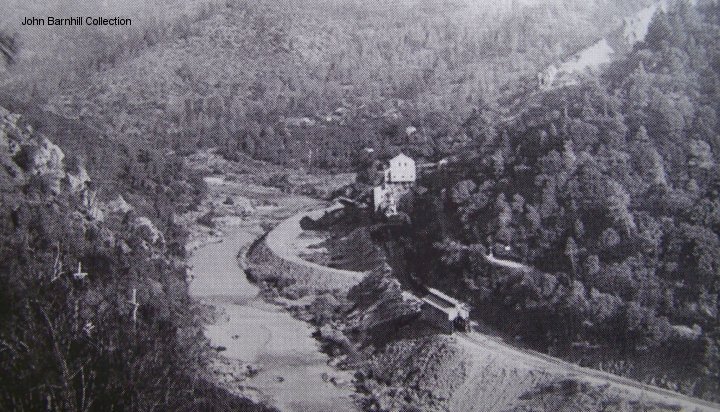
10. A view from above of the area, now developed for recreation.
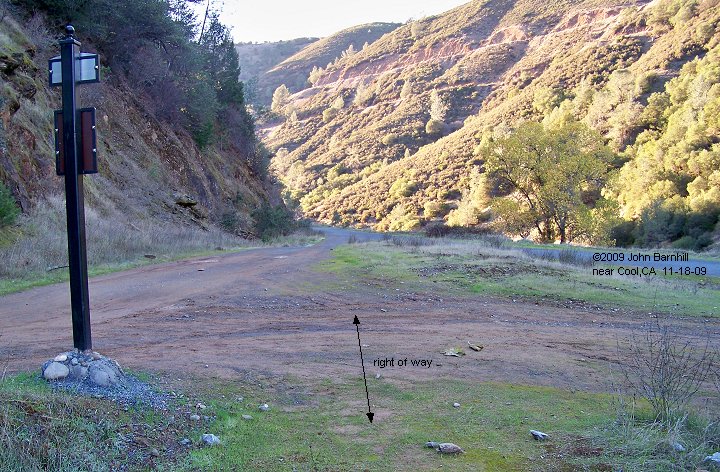
11. Looking down river towards the engine house remains and eventually Auburn.
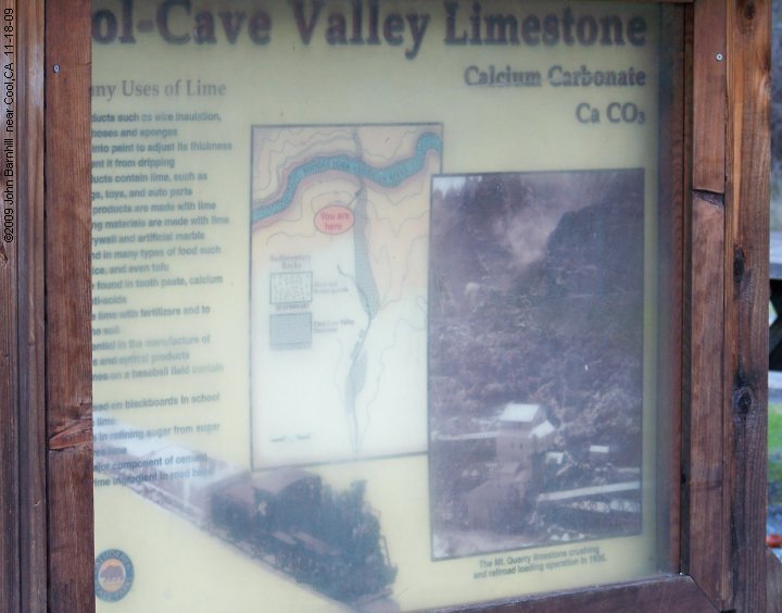
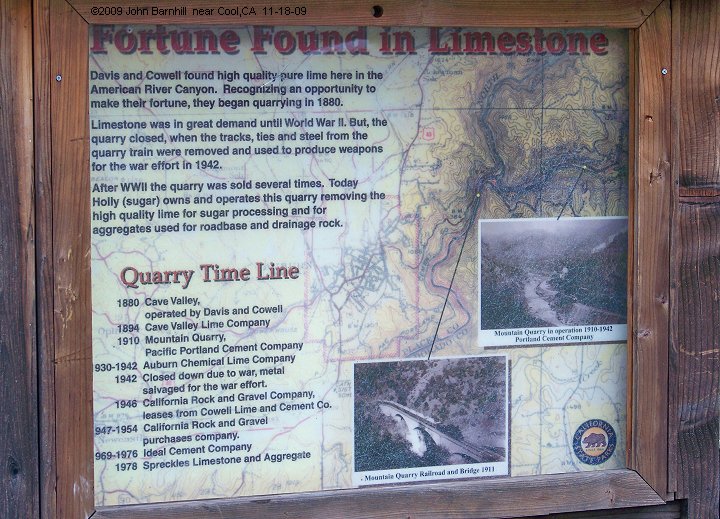
12.-13. Two interpretive signs have also been erected at the site. One explains the use of limestone,
the other has a timeline of the quarry and railroad.
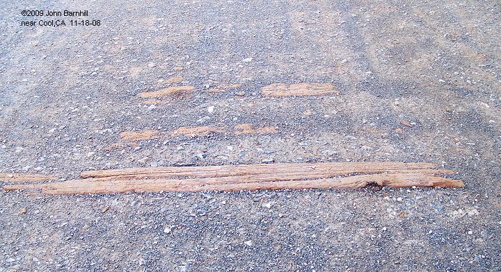
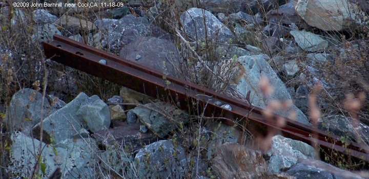
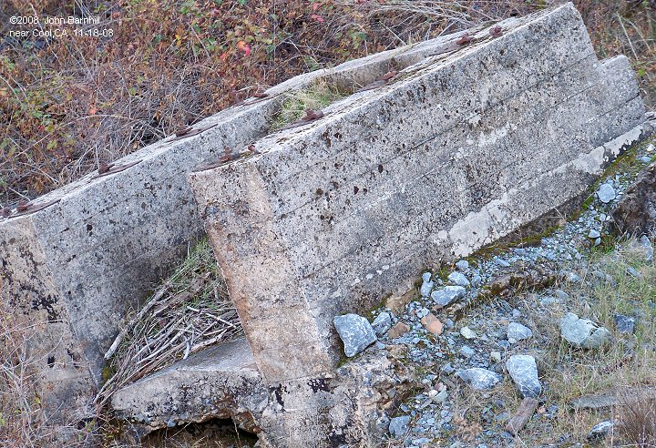
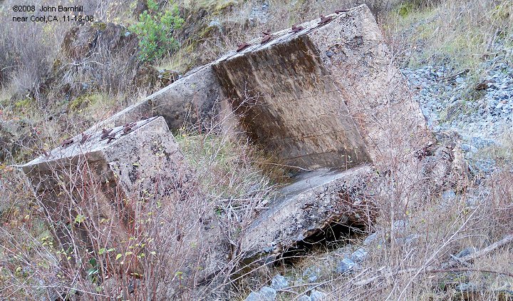
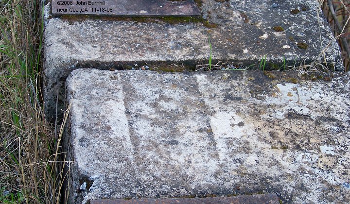
14.-15. With investigation, ties and rail can still be found at various points.
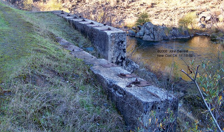
ENGINE HOUSE REMAINS
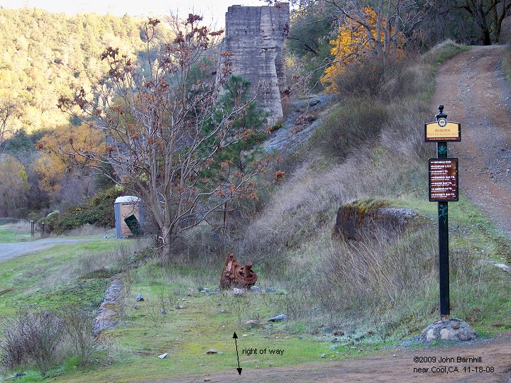
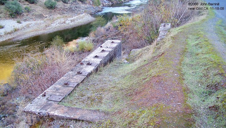
Just a few hundred feet down river from the quarry loadout sat the single stall engine house. All that remains are
whats left of the fairly shallow servicing pit. The last photo shows the engine house intact just below the loadout/crusher.
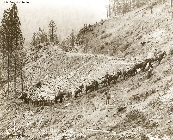
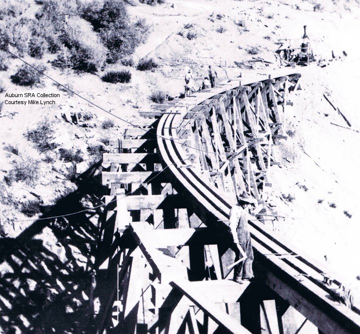
1. A pack train brings supplies to a trestle construction site.
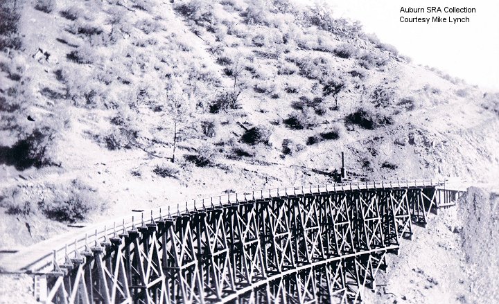
2.-3. These images show trestles under construction or recently completed. (Auburn SRA Collection, courtesy Mike Lynch) 4.-5. Two additional views of the twin trestles #3 and #4. (Auburn SRA Collection, courtesy Mike Lynch)
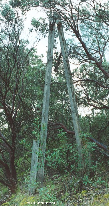
6. One of the couple of line poles that still exist.
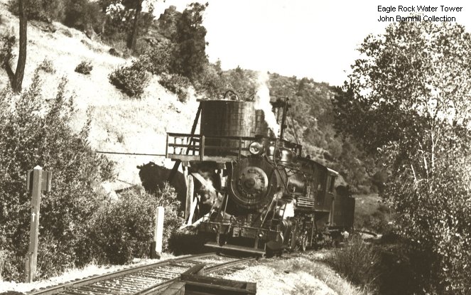
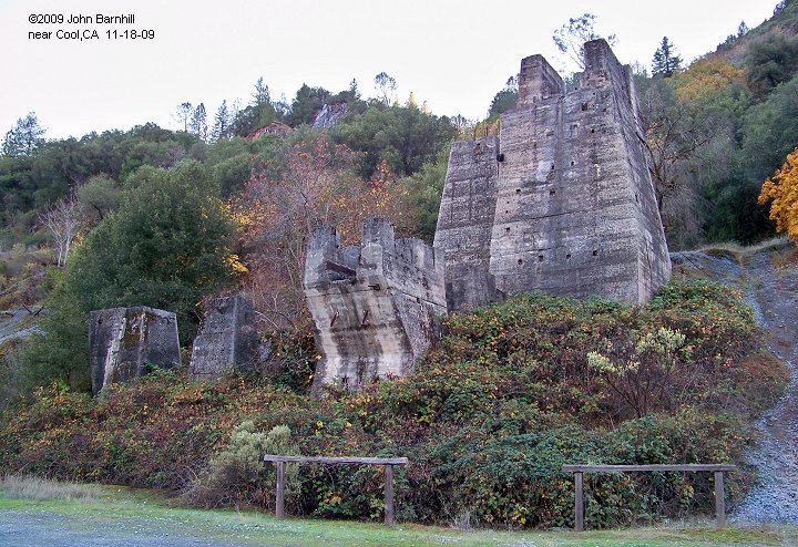
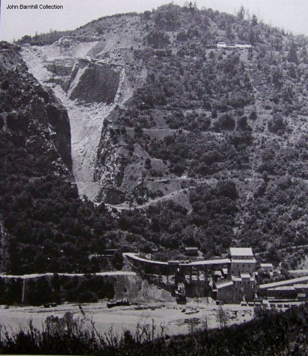
7. Another view of the quarry crusher/loadout. Note a locomotive is visible.
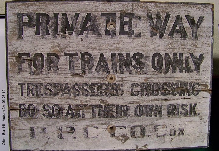
8. Trespassing sign that once denoted the property line of the PPCCCo.
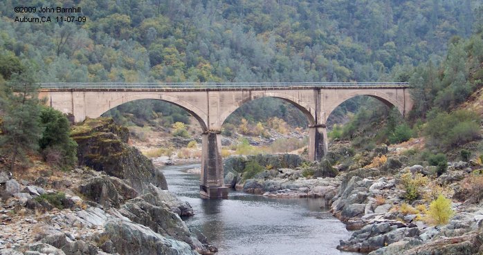
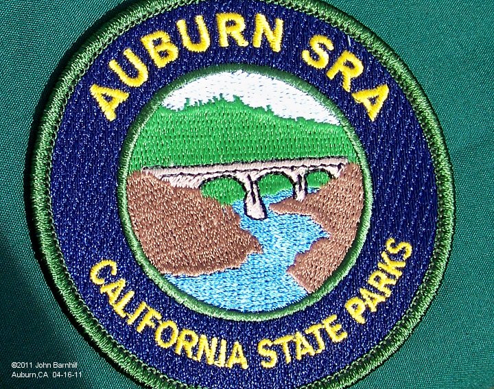
9. The new patch for the California State Parks Auburn SRA now features "No Hands" Bridge.


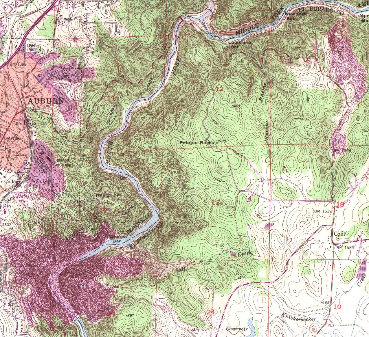
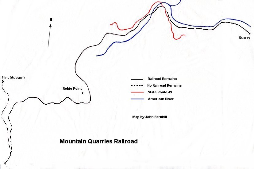
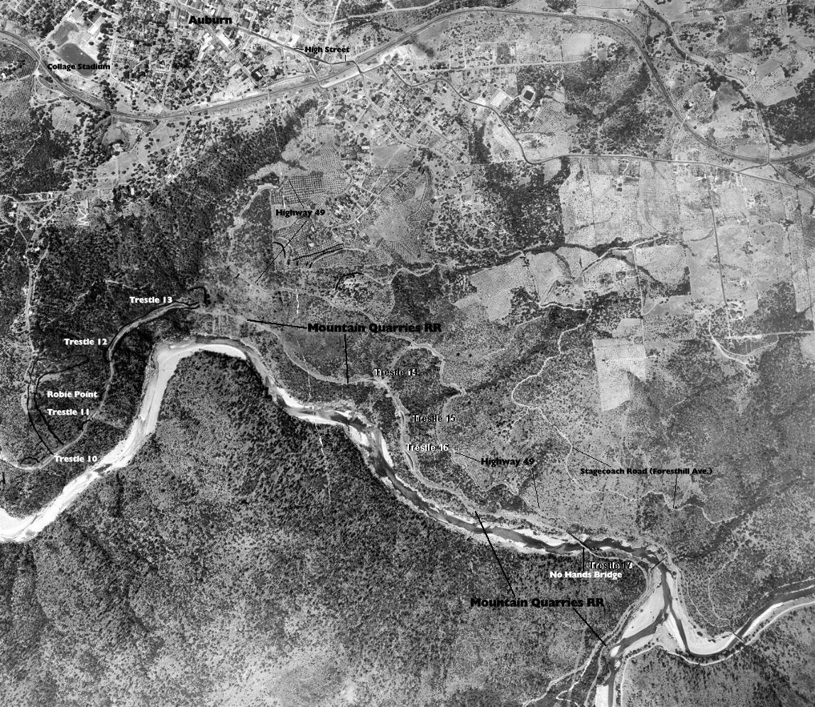
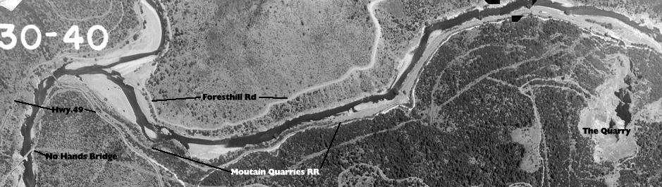
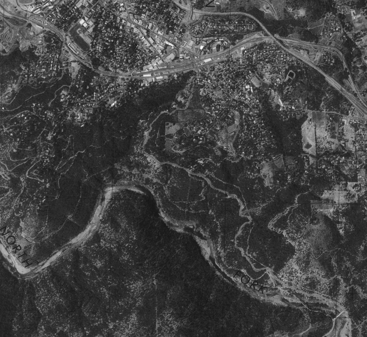
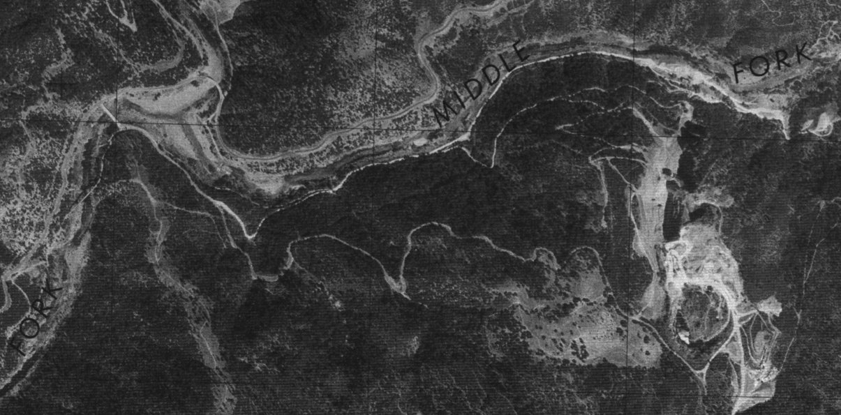
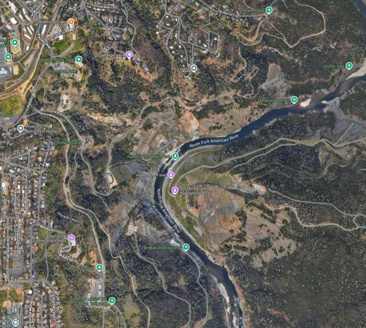
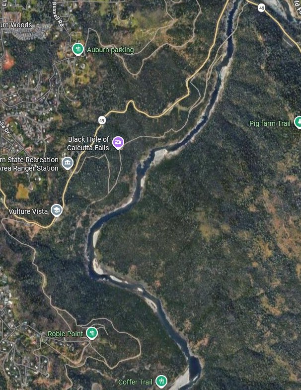
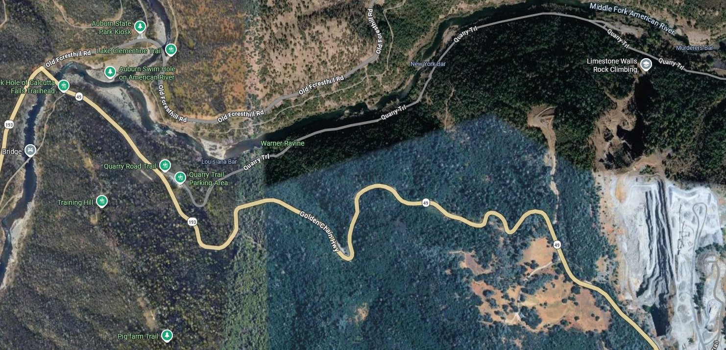
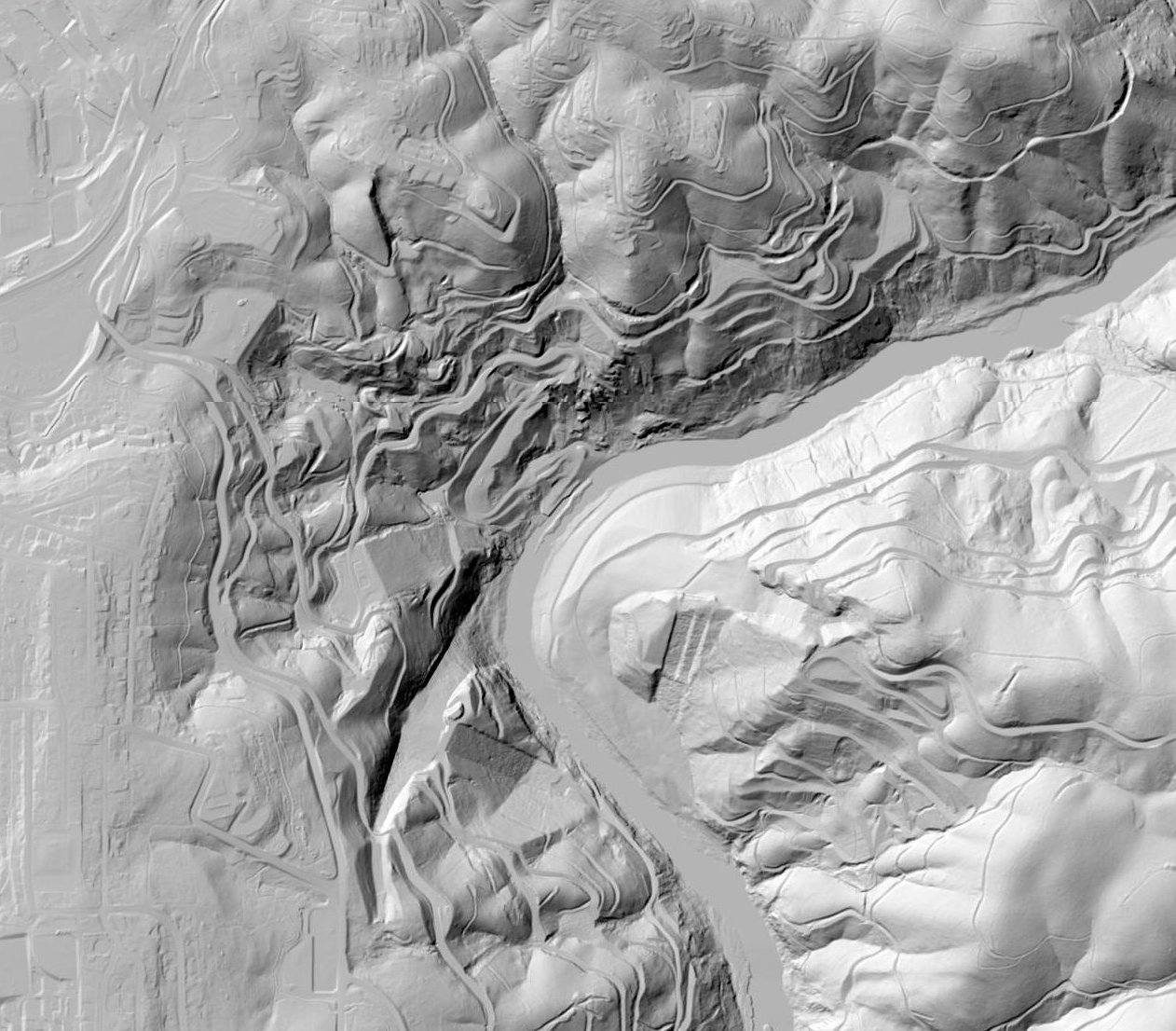
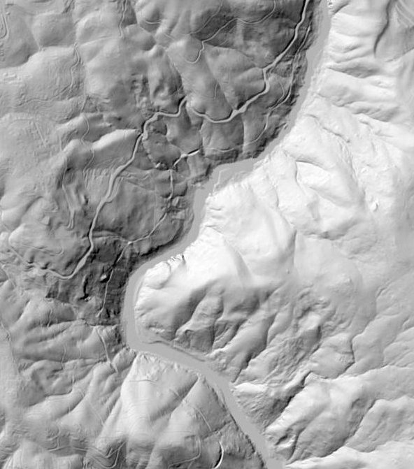
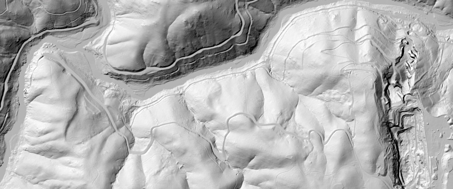
 MAPS
MAPS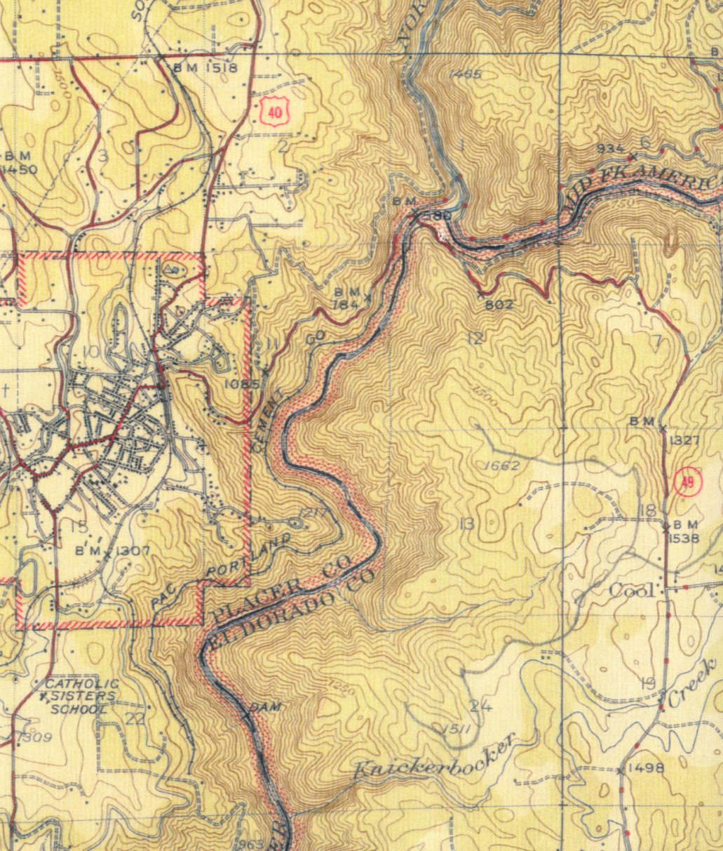
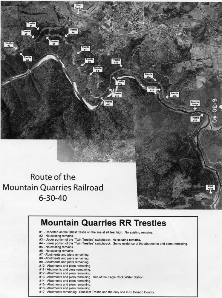
 4. Trestle Remains Chart
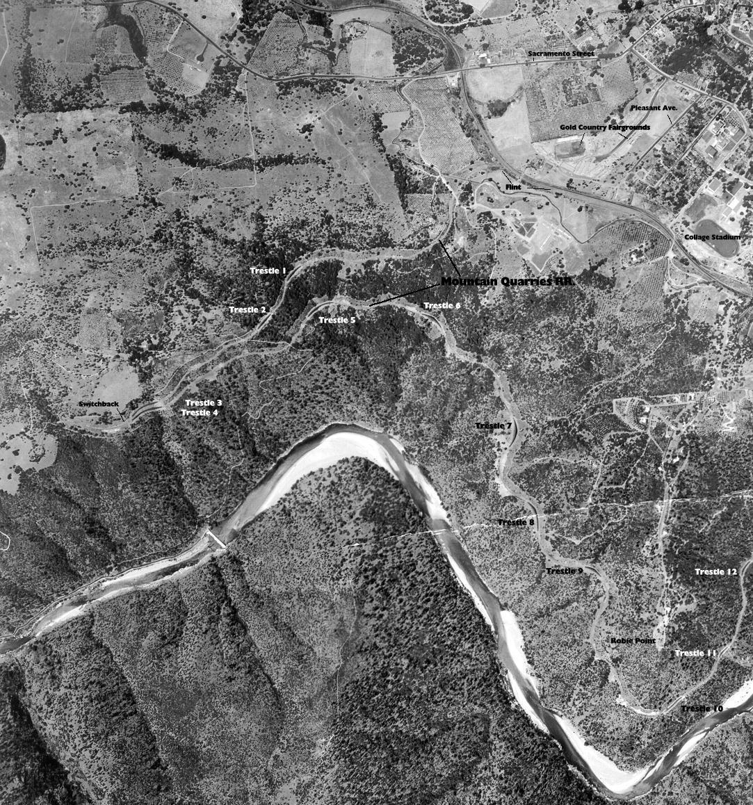

.jpg)


