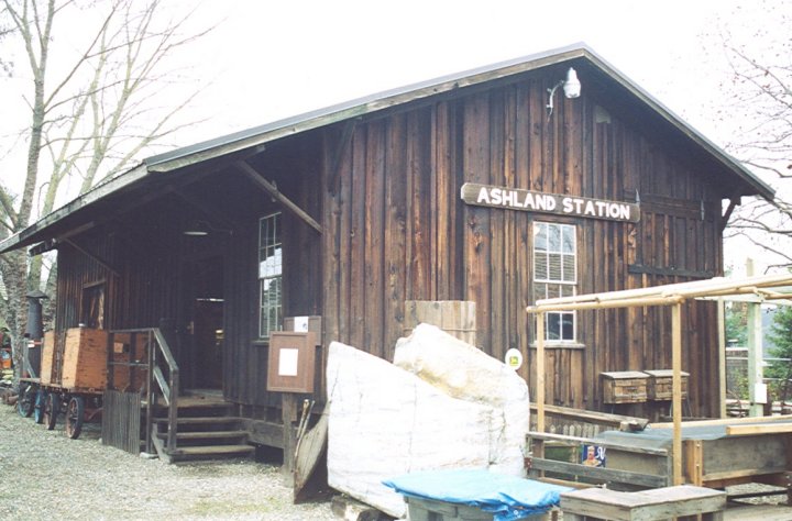
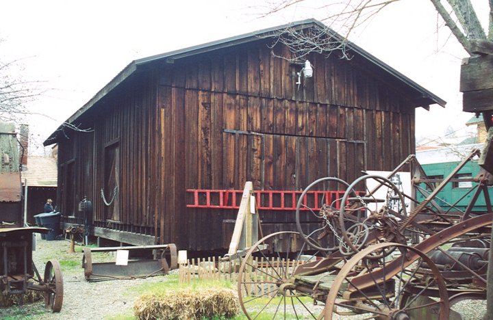
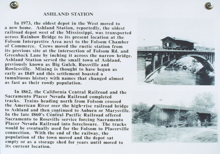
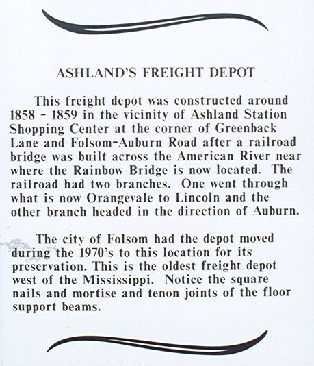
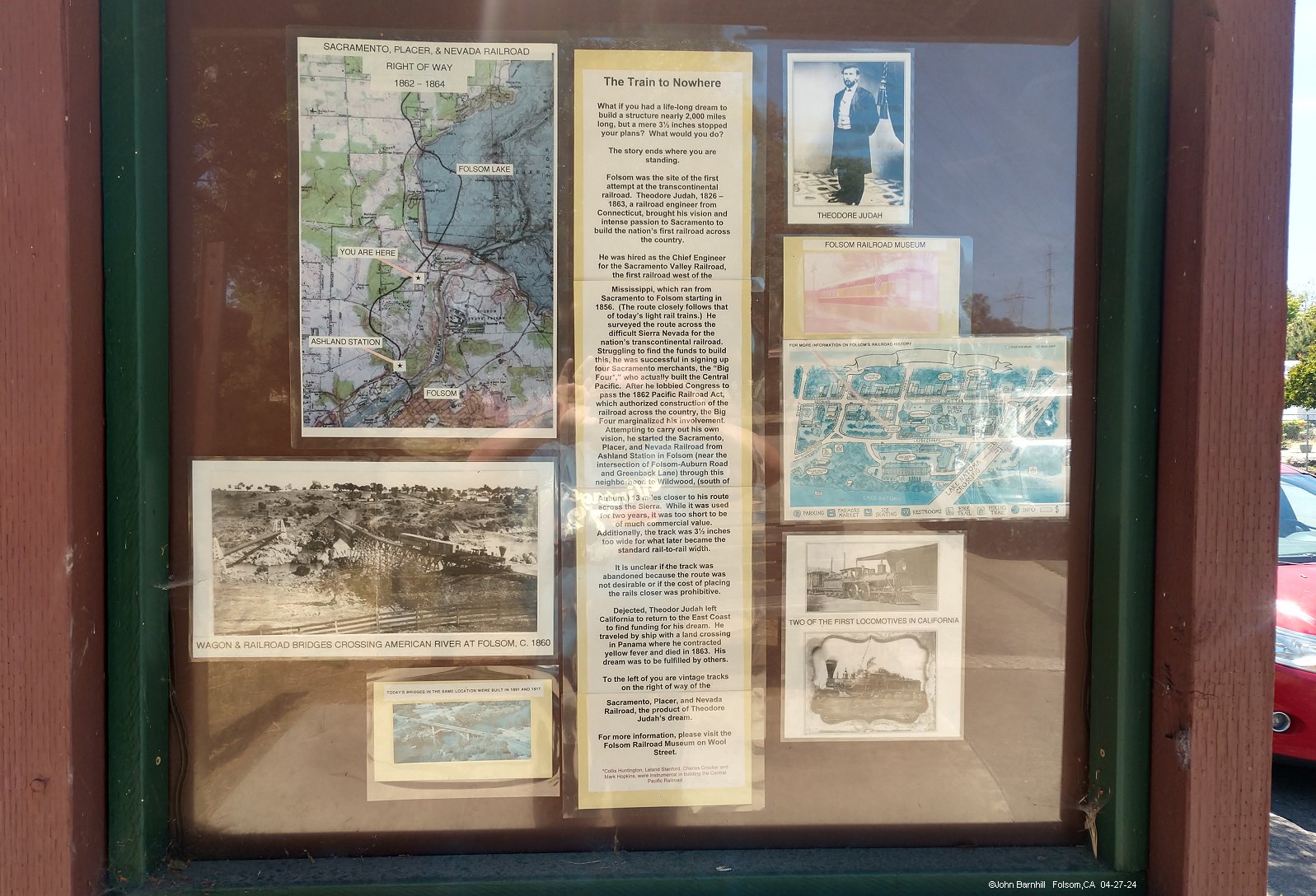
1.-4. Ashland Station is the oldest intact railroad station west of the Missisippi River and is on display as part of the Folsom Railroad Block.
The station sat near the corner of Folsom-Auburn Rd and Greenback Ln at the south end of the line.
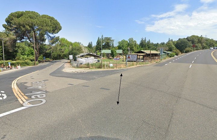
1N. Google street view north at the intersection of Oak Ave and Folsom-Auburn Rd. The railroad split the difference between streets here.
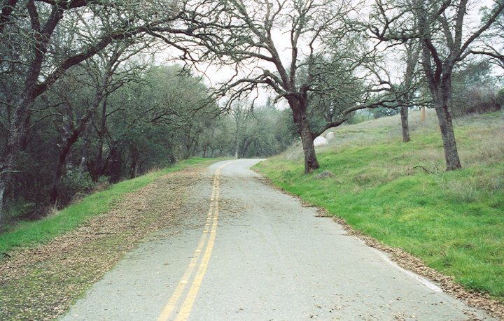
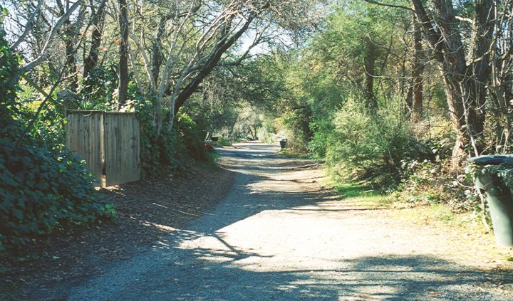
2N. View north along Oak Ave approximately where the railroad joins the road.
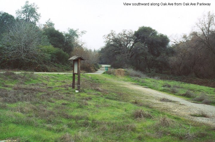
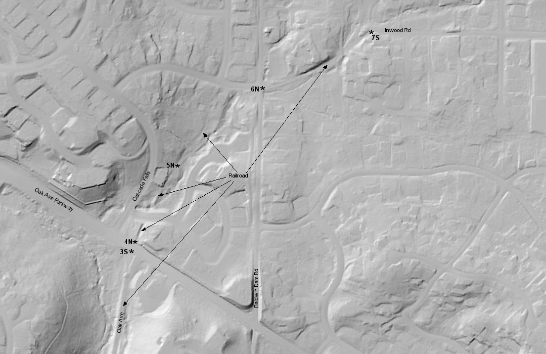
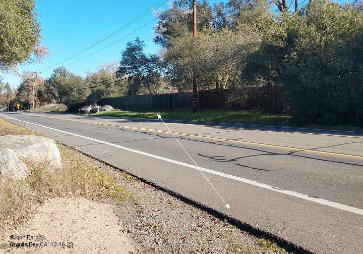
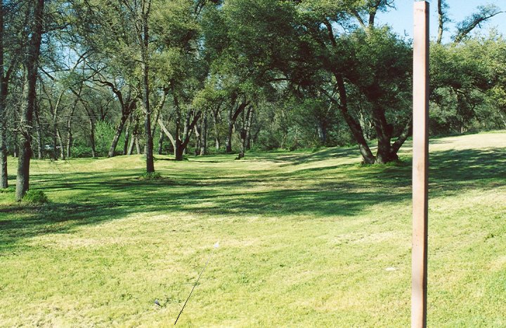
3S. Southward view from Oak Ave Parkway. The line once followed this route.
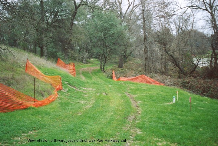
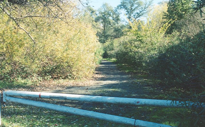
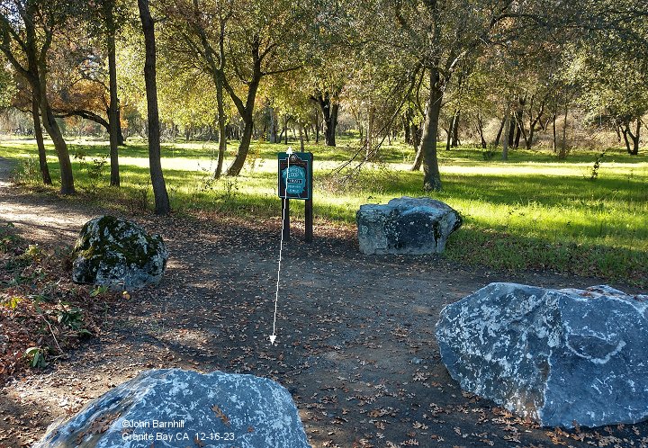
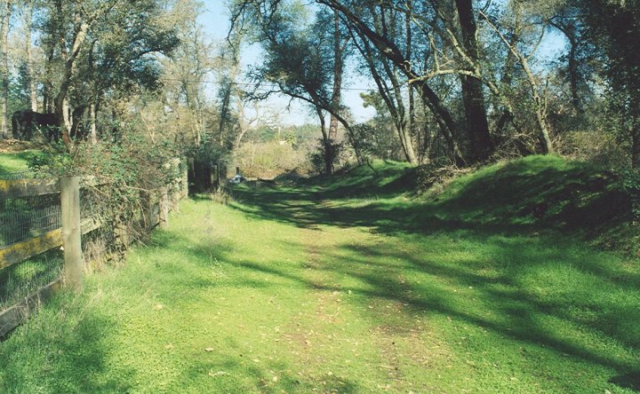
4N. After crossing Oak Ave Parkway the line passes northward through this cut.
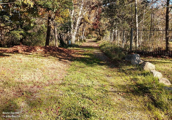
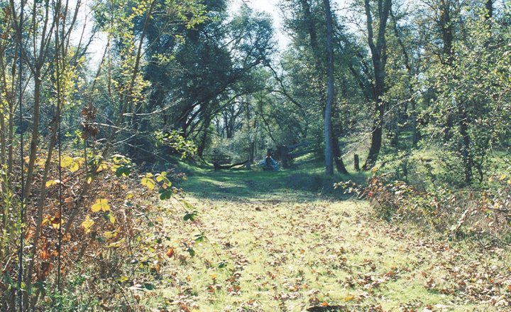
5N. Continuing northward after passing through the cut.
6N. Following the line north, this gated emergency access is the west end of Inwood Rd at Baldwin Dam Rd.
7S. Looking back toward image 6N along Inwood Rd.
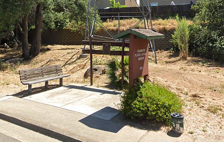
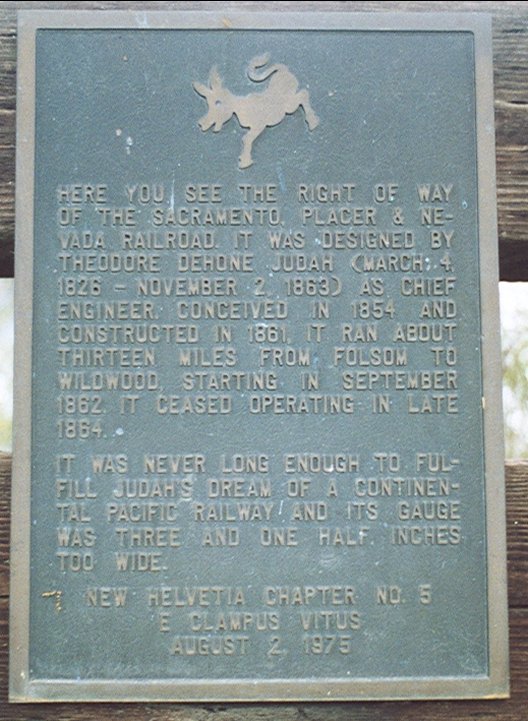
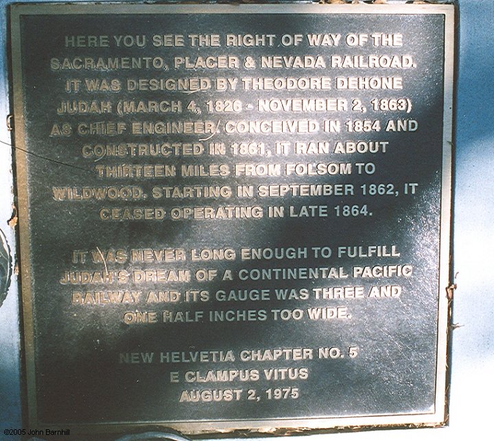
8A. Google street view of SPN kiosk and plaque on Lakeside Way.
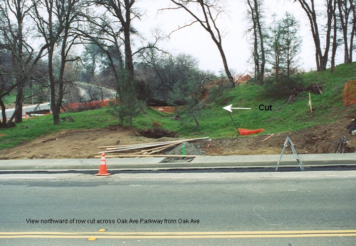
8B. Close-up of the plaque. A copy was later placed at the cut near Oak Ave Parkway.
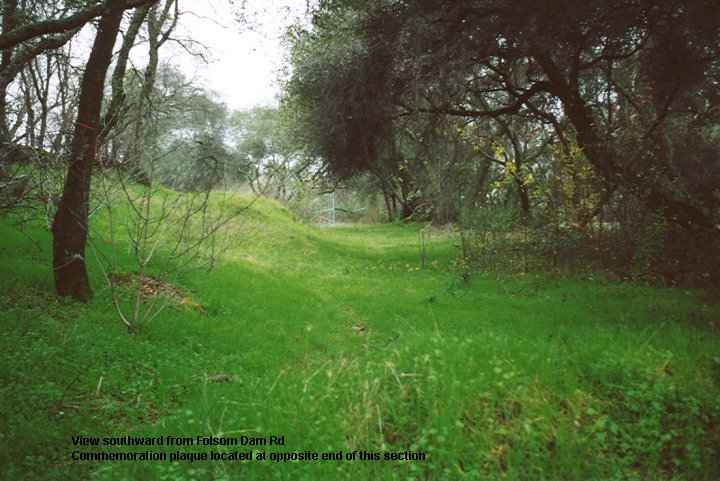
8S. This view once looked south towards the plaque from Folsom Dam Rd, unfortunately modern construction has destroyed this section of right of way.
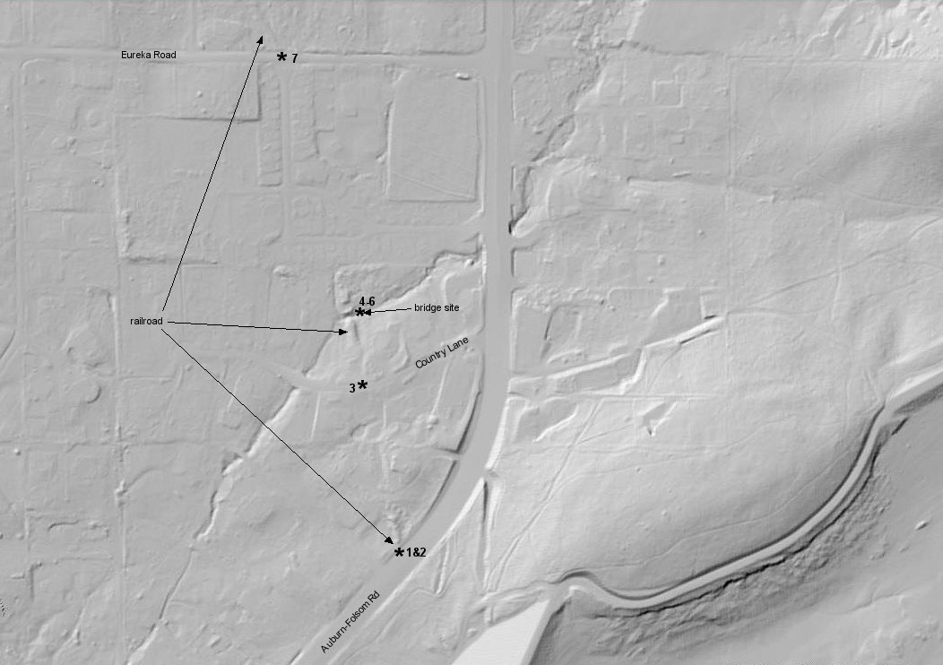
This USGS lidar image covers the section of right of way from image 3S to 7S and each image location is designated.
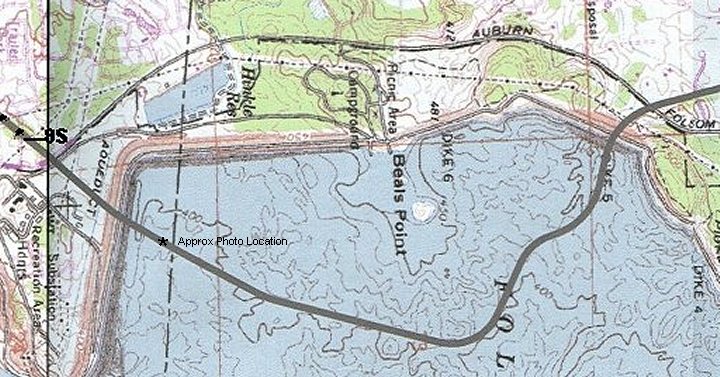
Beneath Folsom Lake
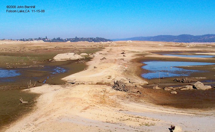
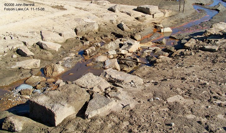
The SP & N crossed part of what is now Folsom Lake. The drought of 2008 exposed part of the route. An asterisk
on the map indicates where the photos were taken. This area is normally under water. The first image looks north.
In this view the line crosses a small gully. The second images shows the remains of a culvert at this gully. The
blocks of granite are probably from the Griffith Quary which this line served nearby.
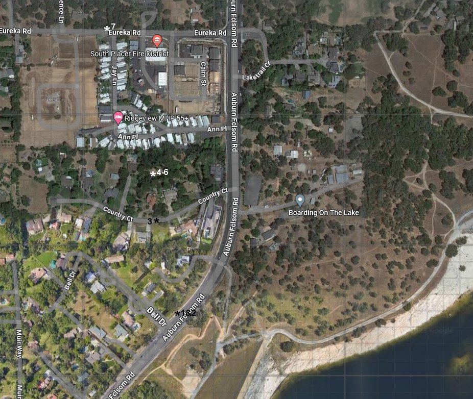
1.-2. Just north of Folsom Lake's Dike 5, the line crossed Auburn-Folsom Rd.
3. View looking back south towards images 1 and 2 from Country Lane.
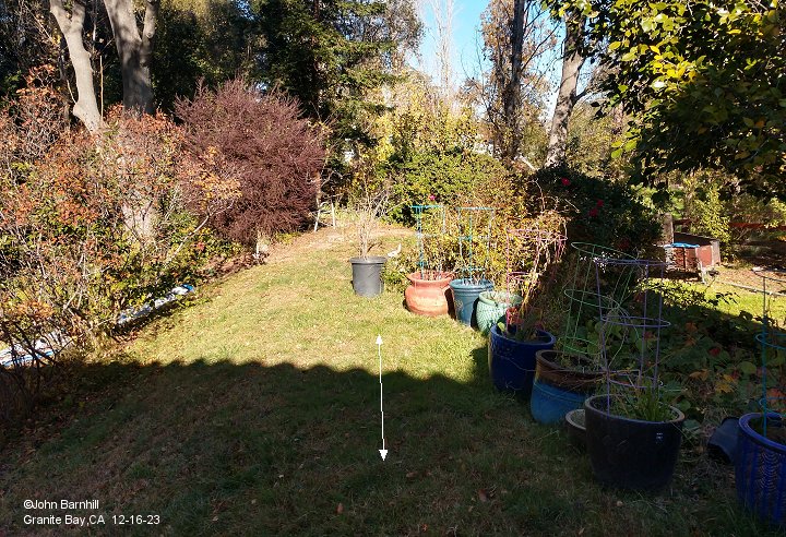
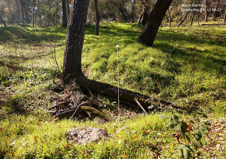
4. Just north of Country lane is this fill leading to a bridge crossing a small creek. This site is on private property. Photo taken with permission.
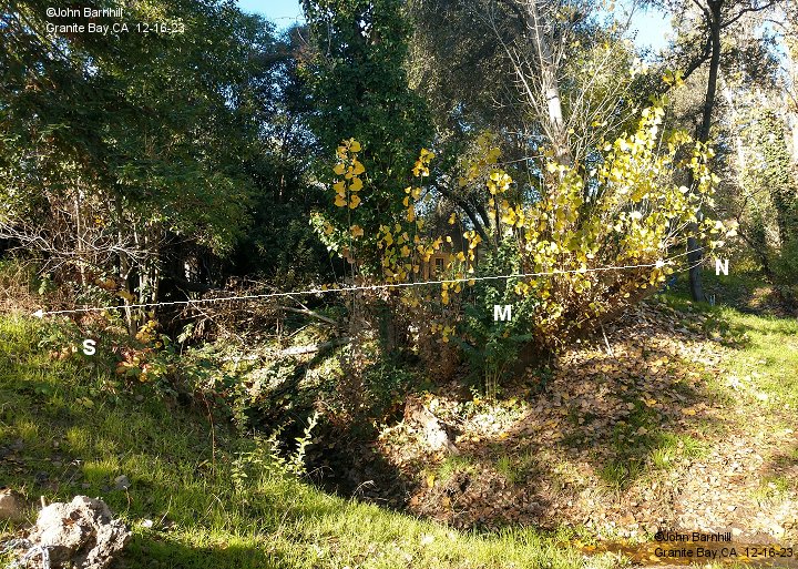
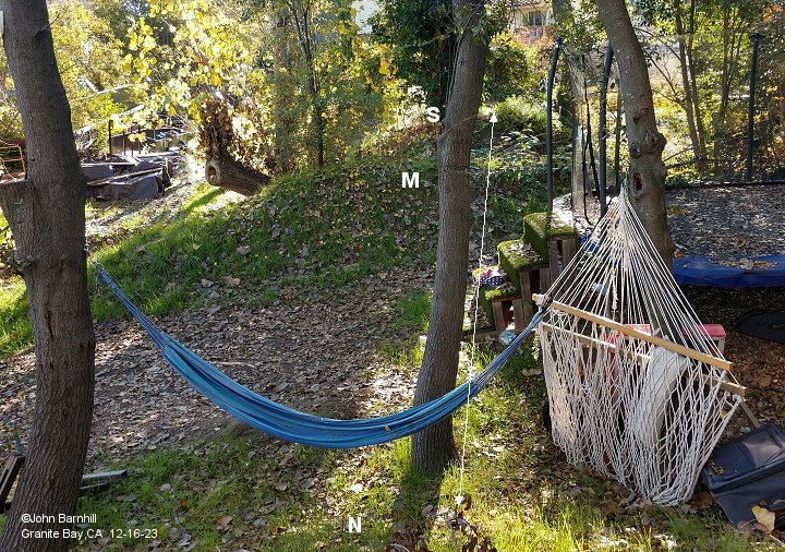
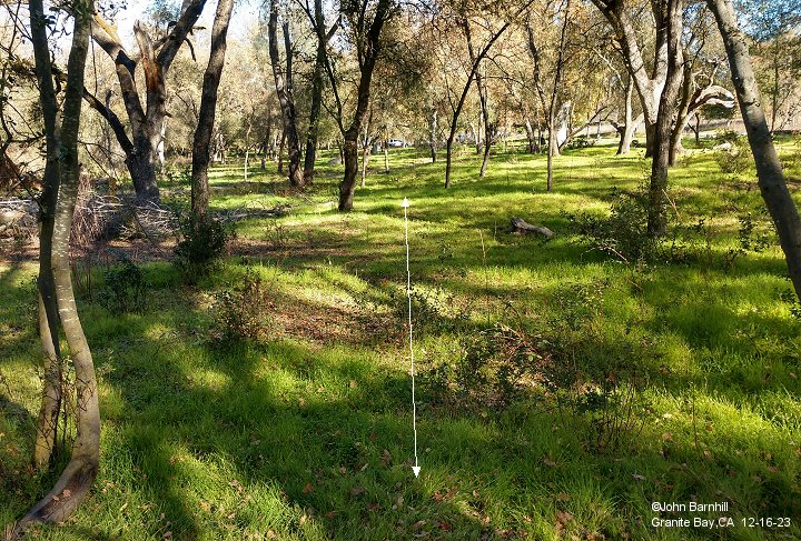
5.-6. Bridge site crossing a small creek just north of Country Ln. The abutments are marked S, M, and N to indicate the
south, middle, and north abutments. This site is on private property and photos taken with permission.
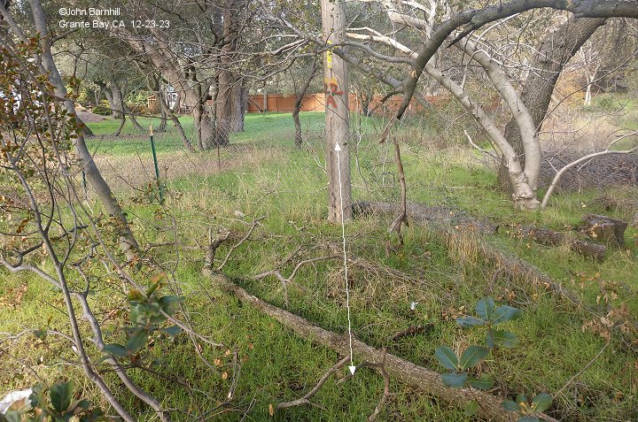
7. A short stretch of roadbed can be found on the north side of Eureka Rd.
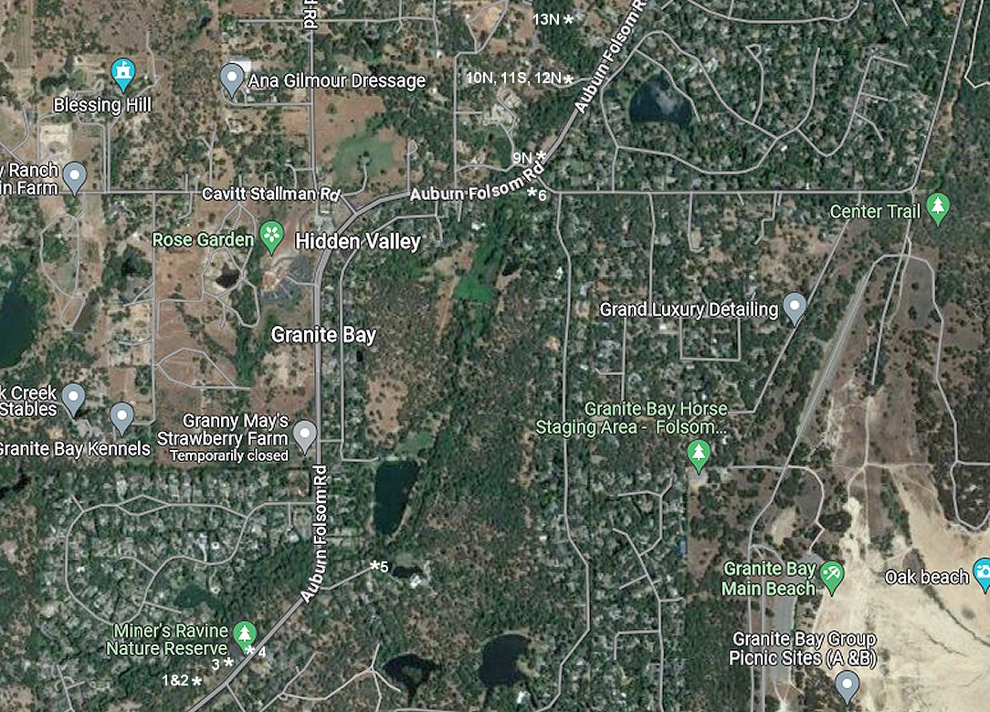
1.-3. According to the 2005 Survey map, the line passed through Miners Ravine Nature Reserve. Very little to no
evidence of the railroad can be found here. I did find one granite block where I thought the line ran. It is possibly
the remains of a very small culvert. Image 1 looks south from this spot while image 2 looks north from here towards the parking lot.
Image 3 looks south along the approximate route towards the granite block in image 1.
4. The line once again crosses Auburn-Folsom Rd here and soon joins Willow Ln on the opposite side.
5. At the end of Willow Ln, the railroad continued northward towards Twin Rocks Rd.
6. Just off Twin Rocks Rd looking south towards Willow Ln.
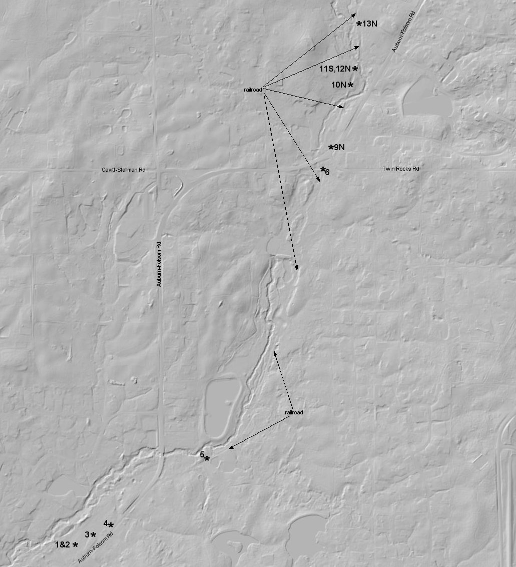
9N. After passing through the intersection of Twin Rocks and Auburn-Folsom Rd, the line continued north.
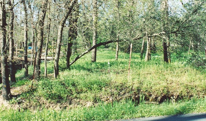
10N.-13N. A series of small cuts, fills, and a creek crossing all lie on private property. Photos taken with permission.
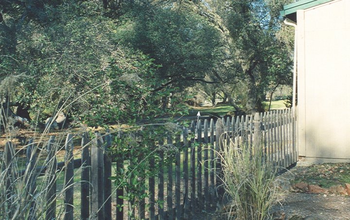
14N. Just north of Dick Cook Rd, the line passed through this mobile home park.
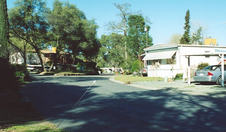
15N. Looking north from Tudsbury Rd.
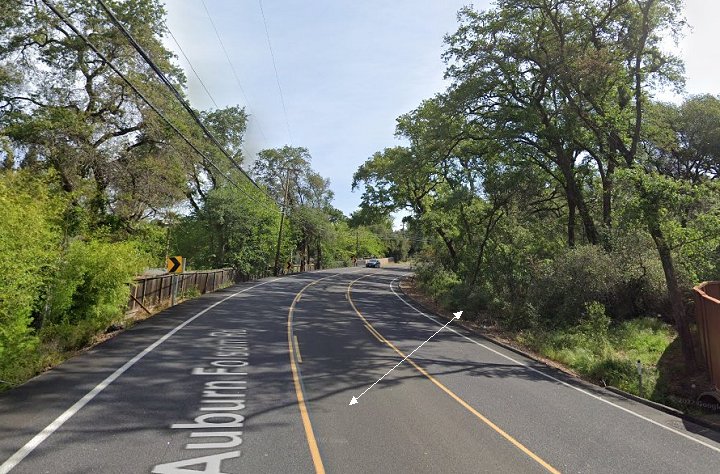
15A.-15B. If one counts from south to north, these Google street view images show the sixth crossing of Auburn-Folsom Rd
halfway between Tudsbury Rd and Horseshoe Bar Rd. 15A looks south while 15B looks north.
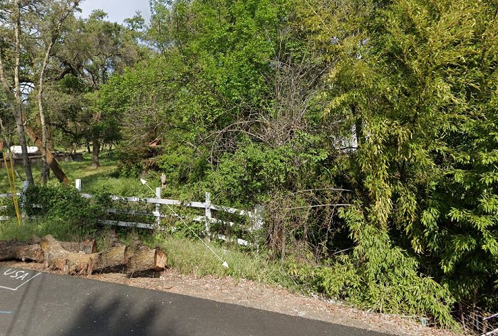
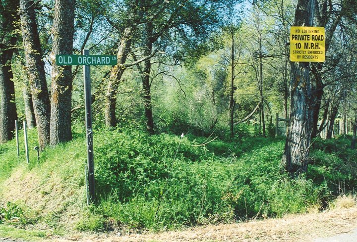
16N. After crossing Auburn-Folsom for a seventh and final time and then King Rd, the line continued a short ways north of the Brennans Rd and Old Orchard Ln intersection.
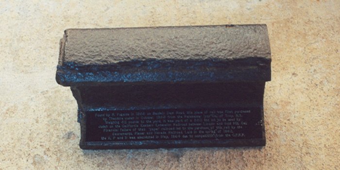
1. This is a piece of rail discovered by GJ Chris Graves near Baldwin Dam Road in Folsom.
Manufactured by Rensselaer Iron Co. in Troy, New York. Weight, 52lb/yd.
It was originally bought by Theodore Judah for his California Extension RR but
not paid for. Later the rail was bought by SP&N. When torn up, most of this rail
was used on the Placerville & Sacramento Valley RR which later became the Placerville Branch of
the Southern Pacific between Folsom and Placerville.
2. Sometime in 2005, this new plaque was placed near the corner
of Cascade Falls and Oak Ave Parkway in Folsom,CA. It is essentially a copy of the Lakeside Way plaque pictured above.
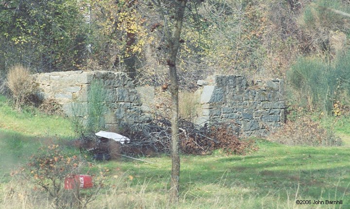
3. The foundation for Eureka Shed still stands along Auburn-Folsom Rd near Whisky Bar Rd.
Site is indicated in lot S-7 on the court case map above.


