TrainWeb.org Facebook Page
B&O Georgetown Branch Photo Tour


B&O Georgetown Branch
Modern day photo tour

Accompanying each photo below are:

Click a photo to see a larger view. Please send your comments and corrections to Steve.


<< Previous (east) | THIS PAGE: Mile 4 to 6 | Next (west) >>

Whistle Post
Photo courtesy Dave Hiteshew

Whistle Post
Mile: 4.0 Date: Nov 2008
Ease: A View: S
Area: A IC2:
Map: Mo 36 A 12 Topographic Maps

West of Little Falls Parkway, a whistle post has fallen and it can't get up.


Bridge
Photo courtesy Dave Hiteshew

Bridge
Mile: 4.1 Date: Nov 2008
Ease: B View: E
Area: A IC2:
Map: Mo 40 K 1 Topographic Maps

A man, a plan, a canal... camera!

Water from this Little Falls tributary will eventually find itself in Dalecarlia Reservoir and then the Potomac River.


Walkers
Photo courtesy Dave Hiteshew

Walkers
Mile: 4.4 Date: Nov 2008
Ease: A View: S
Area: A IC2:
Map: Mo 40 K 2 Topographic Maps

Who knew Bethesda had so many railfans? The fence means something interesting lies ahead. I assume the bell tower on the left is a church... anyone know?


Archless
Photo courtesy Dave Hiteshew

Archless
Mile: 4.5 Date: Nov 2008
Ease: A View: NW
Area: A IC2:
Map: Mo 40 K 2 Topographic Maps

Arch enemies have been here.


Sign
Photo courtesy Dave Hiteshew

Sign
Mile: 4.6 Date: Nov 2008
Ease: A View: S
Area: A IC2:
Map: Mo 40 K 2 Topographic Maps

This spot is 4.6 railroad miles into the branch (the trail starts 0.1 miles west of B&O's Georgetown Junction). On the right was the broadcast tower of WDCA television Channel 20 prior to its merging facilities with those of WTTG Channel 5 in 2001.

Link to older pic: 1956, opposite view?


River Road
Photo courtesy Dave Hiteshew

River Road
Mile: 4.6 Date: Nov 2008
Ease: A View: W
Area: A IC2:
Map: Mo 40 K 2 Topographic Maps

In railroading days, busy River Road had gotten by with a grade crossing. Since the trail sees more traffic than the tracks did, it was given its own bridge... one that would have been prohibitively steep for trains.

Link to older pic: 1973


Ties and Tracks
Photo courtesy Dave Hiteshew

Ties and Tracks
Mile: 4.8 Date: Nov 2008
Ease: A View: S
Area: A IC2:
Map: Mo 40 J 2 Topographic Maps

After passing another arched concrete bridge, we arrive at a Darwin Award practice area.

More rails of the disused siding lie further ahead.


Loughborough Mill
Photo courtesy Dave Hiteshew

Loughborough Mill
Mile: 5.0 Date: Nov 2008
Ease: B View: ?
Area: A IC2:
Map: Mo 40 J 3 Topographic Maps

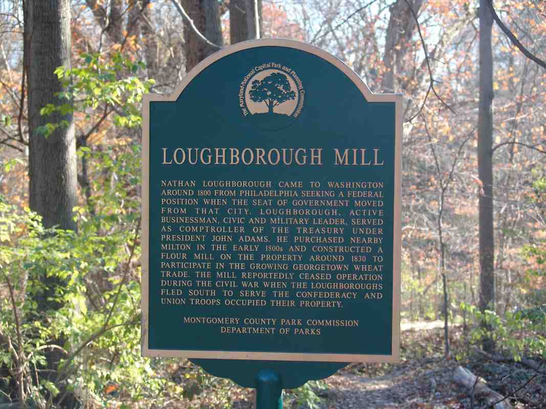
Nearby, a different sign from the Maryland Park and Planning Commission reads:

    "In the early 1800s, Nathan Loughborough moved from Philadelphia to Washington and purchased the 250 acre estate, Milton c.1820. Believed to be the oldest standing house in the area, the original wing was built in the eighteenth century of 
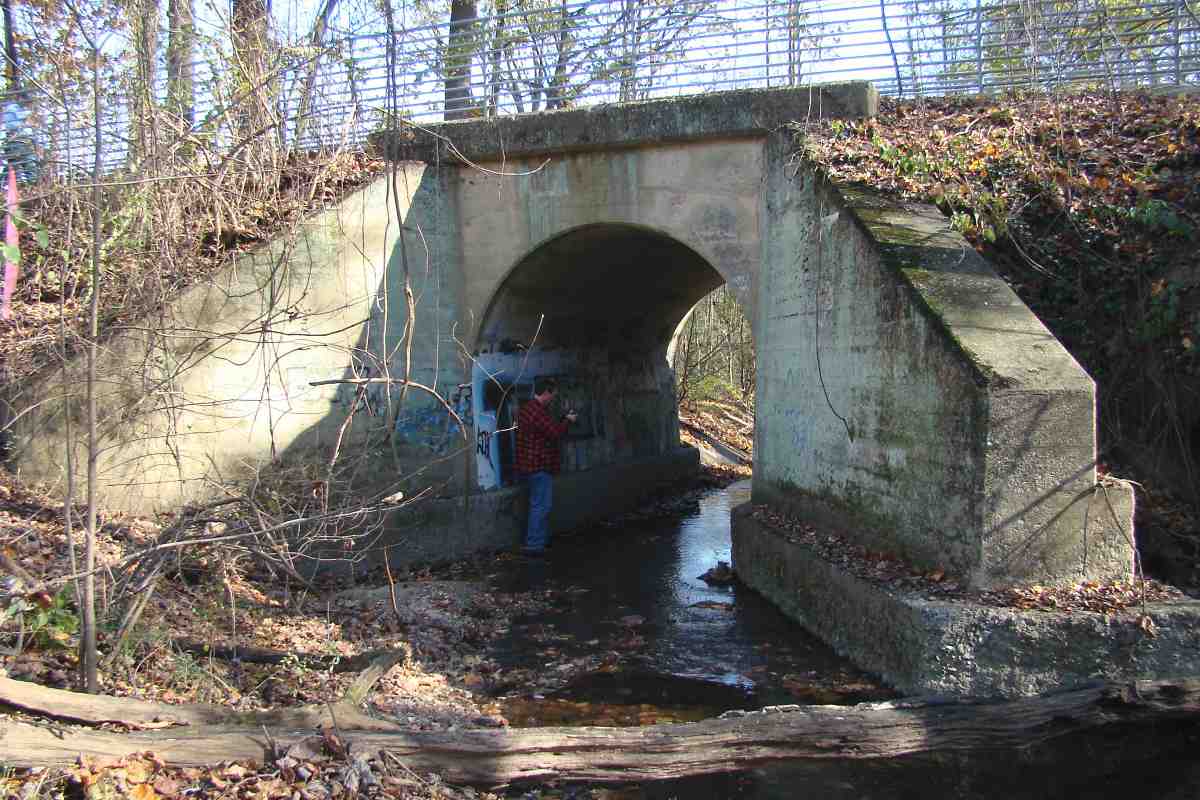
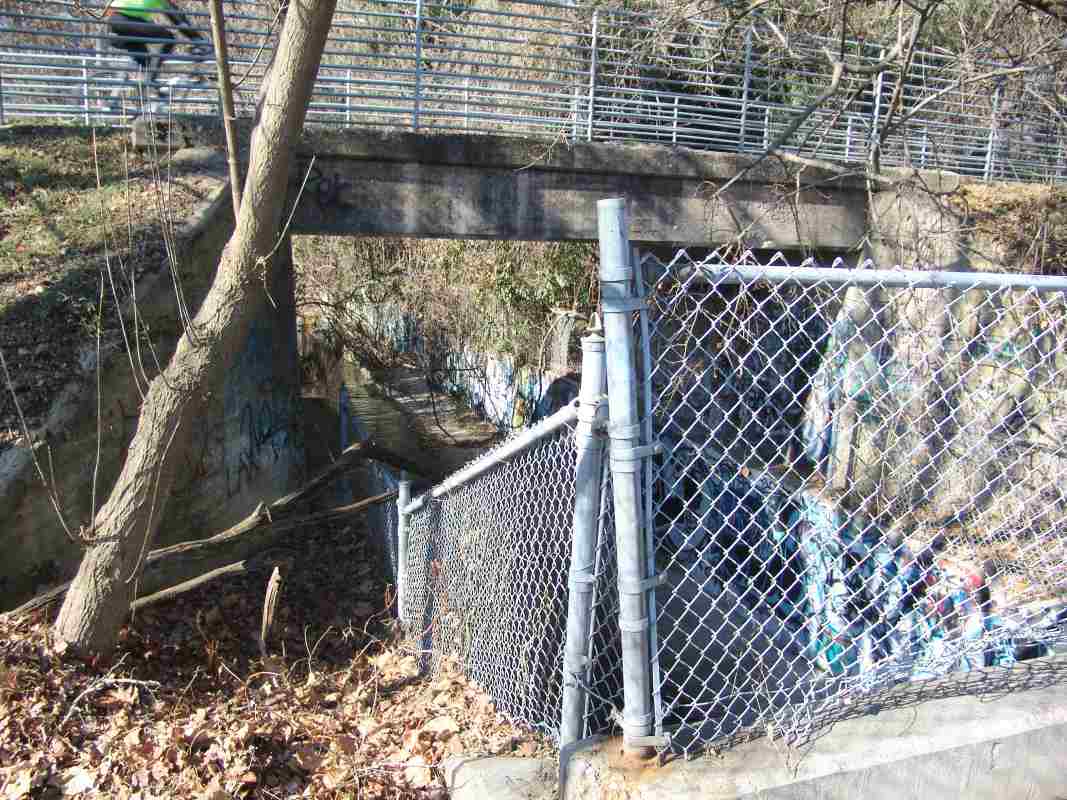
granite, a non-indigenous stone. The Loughboroughs built a mill on the property, also of stone c.1830. Originally from Virginia, the family supported the Confederacy, joining their ranks during the War. Union soliders camping at Milton reportedly destroyed the 
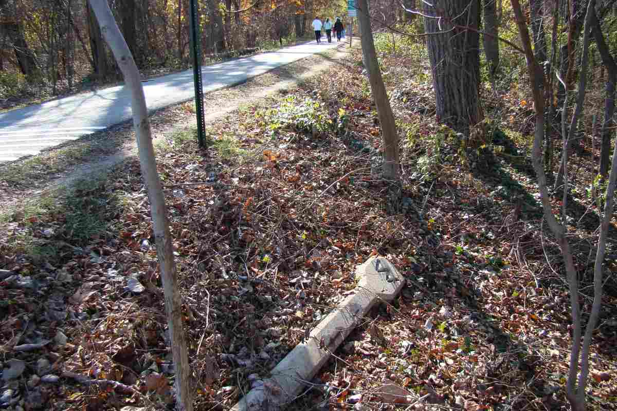
mill, perhaps in retaliation, and runoff from the Johnstown flood of 1899 nearly obliterated the mill race. Nothing remains today except the mill excavation and traces of the race."


Fence
Photo courtesy Dave Hiteshew

Fence
Mile: 5.2 Date: Nov 2008
Ease: A View: S
Area: A IC2:
Map: Mo 40 J 3 Topographic Maps

Got to keep the bikers on the path.


Massachusetts Avenue
Photo courtesy Dave Hiteshew

Massachusetts Avenue
Mile: 5.2 Date: Nov 2008
Ease: A View: NW
Area: A IC2:
Map: Mo 40 J 3 Topographic Maps

Winner of the prettiest Georgetown Branch Bridge Contest is this example spanning Massachusetts Avenue. The stonework is just facade added in 1973 to cover a standard steel deck girder bridge. Pedestrian tunnels extend under each side.

Link to older pic: 1977


Culvert 11
Photo courtesy Dave Hiteshew

Culvert 11
Mile: 5.5 Date: Nov 2008
Ease: B View: NW
Area: A IC2:
Map: Mo 40 H4 Topographic Maps

Typical of several culverts along this stretch west of Massachusetts Avenue is this "bridge" with the always-helpful painted-on number 11.


Signs
Photo courtesy Dave Hiteshew

Signs
Mile: 5.7 Date: Nov 2008
Ease: B View: NW
Area: A IC2:
Map: Mo 40 H 4 Topographic Maps

Sure, but which way to DC?


Trails
Photo courtesy Dave Hiteshew

Trails
Mile: 6.1 Date: Nov 2008
Ease: B View: W
Area: A IC2:
Map: Mo 40 H 5 Topographic Maps

The ex-B&O route takes the high road while the Little Falls Valley Stream Trail takes the low road. A modern sign on the bridge labels it H06-07, whatever that means.


Zoom
Photo courtesy Dave Hiteshew

Zoom
Mile: 6.1 Date: Nov 2008
Ease: B View: S
Area: A IC2:
Map: Mo 40 H 5 Topographic Maps

A zoom view down the trail shows something big lies ahead.


Bridge 14
Photo courtesy Dave Hiteshew

Bridge 14
Mile: 6.2 Date: Nov 2008
Ease: B View: N
Area: A IC2:
Map: Mo 40 H 6 Topographic Maps

Bridge 14 spans an aqueduct that delivers Potomac River water into Dalecarlia Reservoir.


Tracked
Photo courtesy Marty Hager

Tracked
Mile: 6.2 Date: Jan 1994
Ease: B View: N
Area: A IC2:
Map: Mo 40 H 6 Topographic Maps

A similar view of Bridge 14 after the Georgetown Branch was abandoned but before the tracks had been pulled up.


Dalecarlia Reservoir
Photo courtesy Dave Hiteshew

Dalecarlia Reservoir
Mile: 6.2 Date: Nov 2008
Ease: B View: NE
Area: A IC2:
Map: Mo 40 H 6 Topographic Maps

Little Falls spills into Dalecarlia Reservoir here, but the mid-19th century reservoir gets most of its water from the Potomac River.


Dalecarlia Tunnel
Photo courtesy Dave Hiteshew

Dalecarlia Tunnel
Mile: 6.2 Date: Nov 2008
Ease: B View: SE
Area: A IC2:
Map: Mo 40 H 6 Topographic Maps

Dalecarlia Tunnel pierces a natural ridge that separates Dalecarlia Reservoir from the Potomac River, while MacArthur Boulevard carries auto traffic overhead.


<< Previous (east) | THIS PAGE: Mile 4 to 6 | Next (west) >>

Or, return to main page

Copyright Notice