TrainWeb.org Facebook Page
B&O Photo Tour


B&O Marley Neck Branch
Modern day photo tour

Accompanying each photo below are:

Click a photo to see a larger view. Please send your comments and corrections to Steve.


<< Previous (west) | THIS PAGE: Arundel Cove to Brandon Shores | End of tour || main index

Map

Map
Mile: Date: (Apr 1964)
Ease: View:
Area: IC2:
Map: Ba 44 inset Topographic Maps

The Marley Neck Branch mileposts decline numerically as the route weaves generally east. This Part 3 tour page starts at top left and finishes at bottom right of this map. Aerial photos courtesy Johns Hopkins University.


Spur

Spur
Mile: 3.3 Date: Aug 2015
Ease: B View: N
Area: B- IC2:
Map: Ba 43 C 13 Topographic Maps

The tour resumes and continues forward where the spur had reversed off the Marley Neck Branch just before the Hawkins Point Road bridge.


Track Relic

Track Relic
Mile: 3.3 Date: Aug 2015
Ease: B View: N
Area: B- IC2:
Map: Ba 43 C 13 Topographic Maps

Under the Baltimore Beltway, where the dismantling crane was unable to reach, a rusty piece of rail remains behind to remind us track, the Davison Lead, had split off here and proceeded through the trees on the left to serve waterfront businesses. About a mile ahead, this largely-parallel route connected back to the branch.


Switcher
Photo courtesy Dave Hiteshew

Switcher
Mile: 3.2? Date: Mar 2008
Ease: B- View: SW?
Area: B IC2:
Map: Ba 43 D 13 ? Topographic Maps

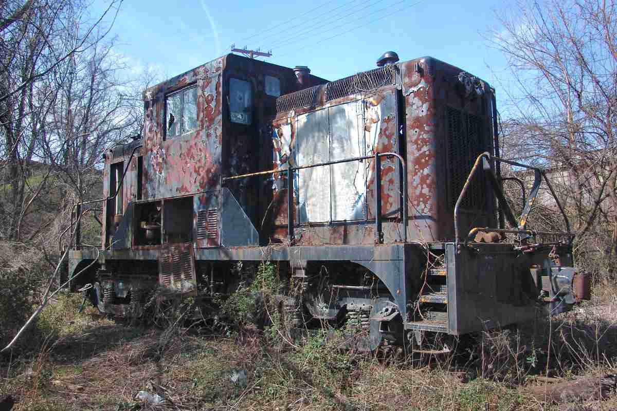
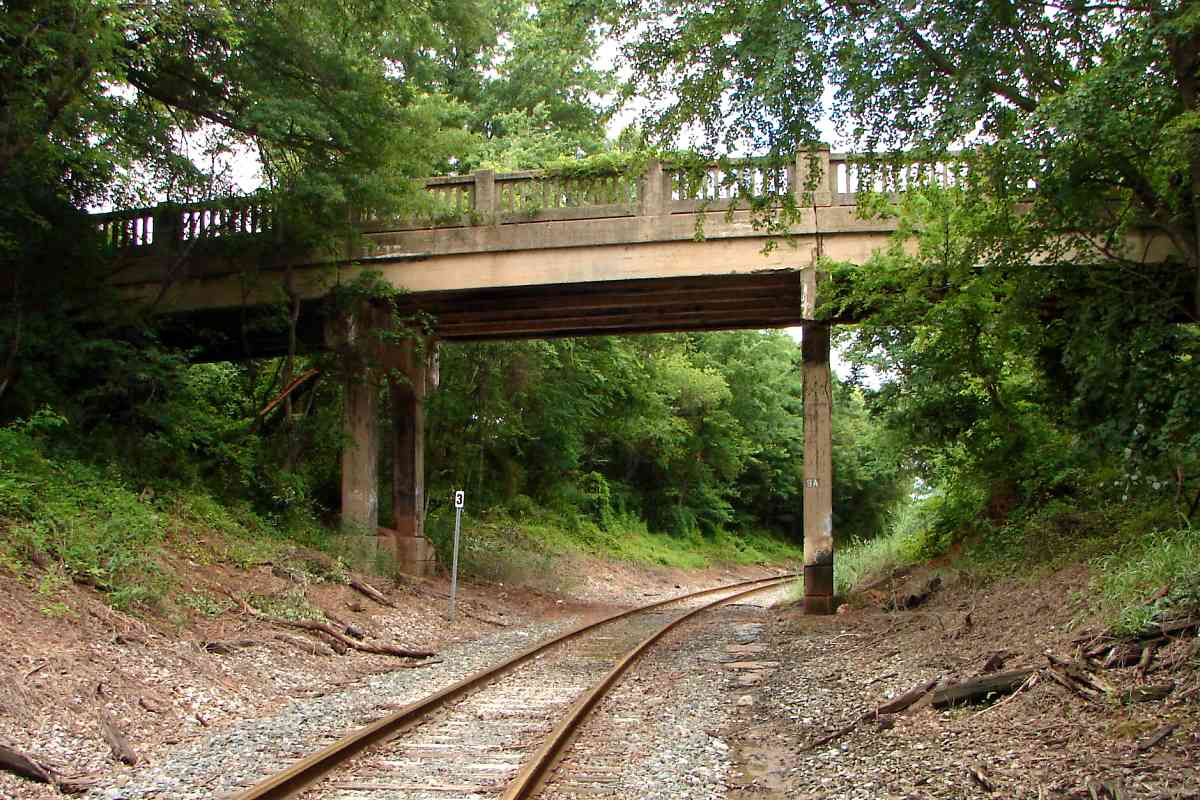
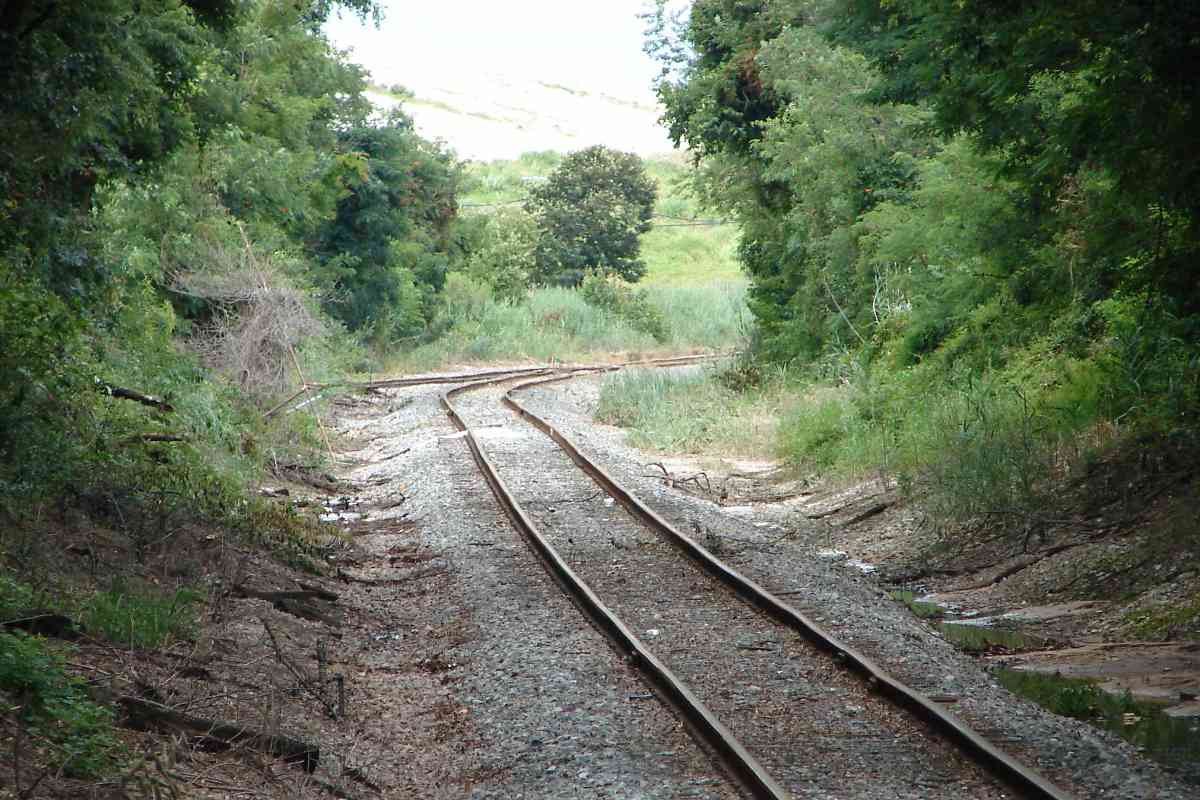
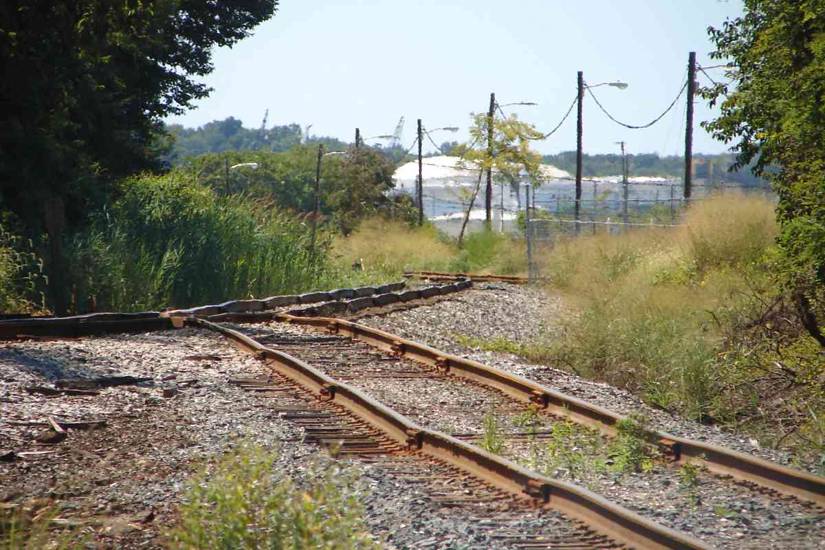
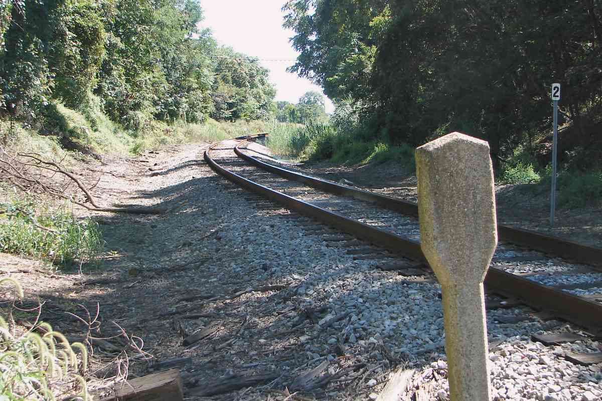
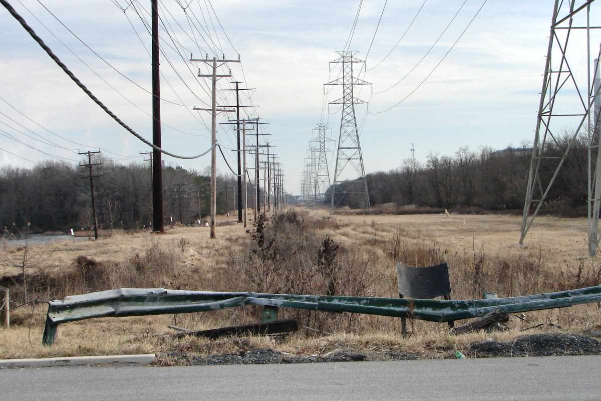
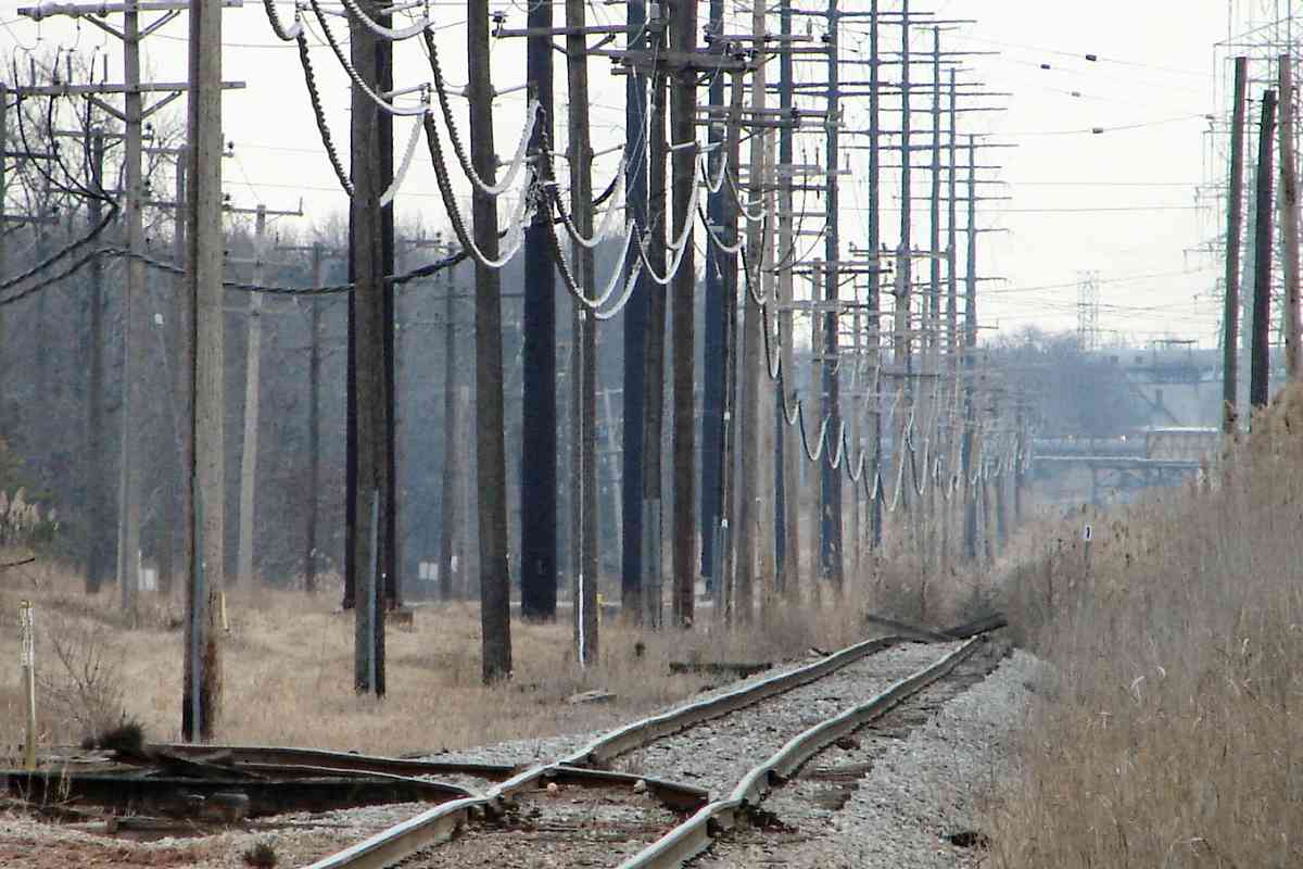
Left behind on that parallel track (or another nearby, Dave does not remember precisely), a landlocked switcher slowly combined iron and oxygen. It has been 
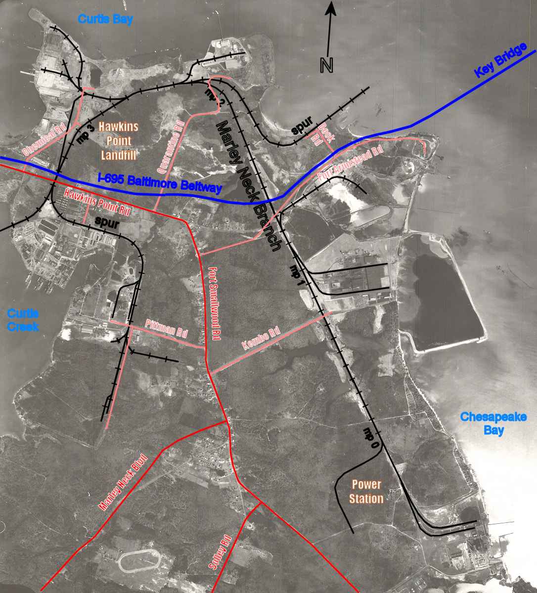
hauled away since the time of this photo. The small Davison Yard, named for one of the businesses served, had previously been in this vicinity.

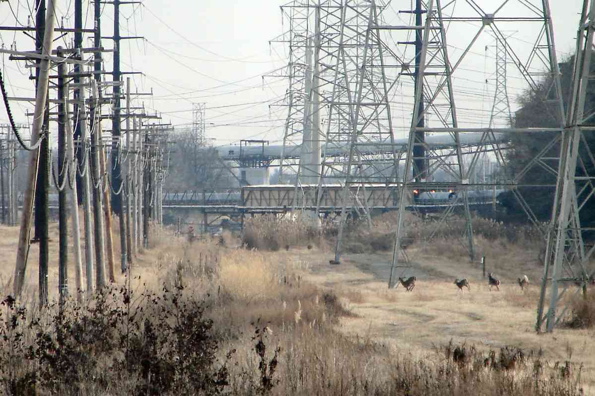
Reader Paul McNally kindly shared memory of this location:

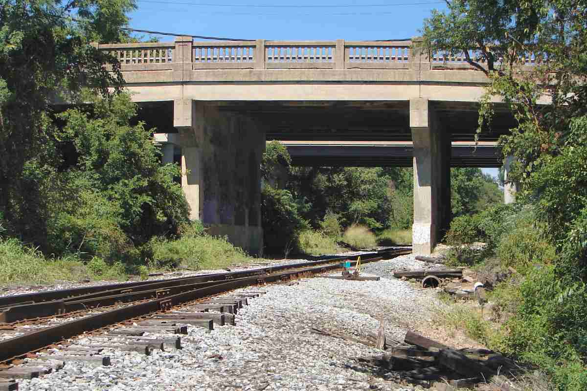
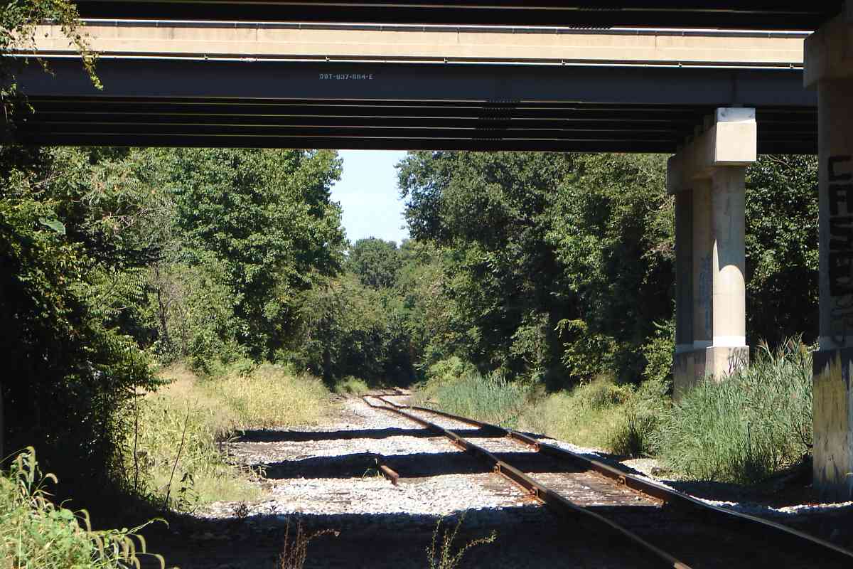
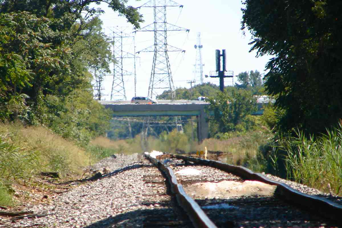
    "As for the abandoned switcher, the location appears to be right next to the inner loop bridge of 695. In the early 70s, a scrapper [Striegel] was located there. I remember desperately trying to identify steam locomotives lined up for scrapping (there were at most 2 or 3, but they were steam). I do not know what happened with the company but my guess is that the cost of scrapping locomotives that contained asbestos made profitability harder to obtain."

Link: Todd's page about Striegel


Chemical Road

Chemical Road
Mile: 3.1 Date: Jun 2015
Ease: A View: S
Area: B IC2:
Map: Ba 43 D 12 Topographic Maps

Looking back toward the Marley Neck Branch, the parallel track had emerged here and crossed Chemical Road.


CRAB

CRAB
Mile: 3.1 Date: Feb 2015
Ease: A- View: N
Area: C+ IC2:
Map: Ba 44 A 10 Topographic Maps

A shoe-horned acronym along Chemical Road reminds workers of the importance of Creating Reductions in Accident Behavior. Who knew crabs had such pearly white smiles?


Hockley Road

Hockley Road
Mile: 3.0 Date: Jun 2015
Ease: B View: E
Area: C+ IC2:
Map: Ba 44 A 10 Topographic Maps

The trees, and trucks parked in front of it, disguise Hockley Road bridge, a former entrance into Baltimore City's landfill at Hawkins Point.


Bridge 9A

Bridge 9A
Mile: 3.0 Date: Jun 2015
Ease: B View: N
Area: C+ IC2:
Map: Ba 44 A 10 Topographic Maps

Other than overgrowth, the sturdy bridge appears capable of reuse. CSX calls it bridge 9A. Note milepost 3.


Switch

Switch
Mile: 3.0 Date: Jun 2015
Ease: B View: N
Area: C+ IC2:
Map: Ba 44 A 10 Topographic Maps

What remains of that parallel track rejoins the branch in the distance. Now trains back into it to deliver to or pickup from a WR Grace facility.


Xing

Xing
Mile: 2.6 Date: Jun 2015
Ease: B+ View: E
Area: C+ IC2:
Map: Ba 44 A 10 Topographic Maps

Such as this a car awaiting pickup. Chemical Road crosses here.


C&CB

C&CB
Mile: 2.6 Date: Feb 2015
Ease: B+ View: W
Area: C+ IC2:
Map: Ba 44 A 10 Topographic Maps

ad Opposite the prior view, the track splits many different ways to serve Davison / WR Grace. The rails here still follow routes first established around 1915 by the Chesapeake and Curtis Bay Railroad. C&CB had no track connecting into this location, instead it was a car float operation before B&O's Marley Neck Branch arrived and took away business.

Local employee Paul McNally kindly describes the history of train activity at the facility:

    car float "Attached is a photograph of the car float making a visit (right). I do not have a date to associate with the photo but it is probably the 40s or 50s. The plant has been there since the early 1900s. About 2005, the local CSX turn for the Curtis Bay plant would arrive in the afternoon after taking care of the other plants. The crew would tie down the locomotives and grab a bite to eat at the plant cafeteria around 2 pm then switch the yards (they would typically do a backing move to drop off incoming cars in the morning and pick up out going in the afternoon). There was a run around just off of Chemical Road so the engines could assemble the train with all of the cars behind the locomotive. Motive power was typically GP 40s and 38s. The last time I was down there, it looked like the plant tractor was placing and picking up cars on the spur outside of the plant."


New Zealand

New Zealand
Mile: 2.3 Date: Jun 2015
Ease: B View: E
Area: B- IC2:
Map: Ba 44 B 9 Topographic Maps

The further we go into the branch, the less rail traffic seen, and the less exacting the standards. This siding into a US Gypsum plant has a "Crossing Railroad" sign, a format employed in New Zealand, where the sign's arms are reversed from that employed most other places. Maybe it's because down under they're upside down.

The Marley Neck Branch is unseen along the trees on the right where you can spot the distant Francis Scott Key bridge.


Spur East

Spur East
Mile: spur 0.1 Date: Aug 2015
Ease: B View: W
Area: B- IC2:
Map: Ba 44 B 9 Topographic Maps

Looking back, the USG siding is in the distance, but closer is a mile-long spur that extends east. We'll follow it next.


Speed Limit 10

Speed Limit 10
Mile: spur 0.1 Date: Jun 2015
Ease: B- View: E
Area: B- IC2:
Map: Ba 44 B 9 Topographic Maps

At Quarantine Road's double grade crossing. the spur gets a speed limit sign of the style normally directed at auto traffic. We'll return here after following the spur.


Around

Around
Mile: spur 0.7 Date: Feb 2015
Ease: C View: W
Area: B IC2:
Map: Ba 44 D 10 Topographic Maps

The spur skirts around and between landfill mounds.


Silos

Silos
Mile: spur 0.7 Date: Feb 2015
Ease: C View: NE
Area: B IC2:
Map: Ba 44 D 10 Topographic Maps

portal On an overcast, wintry day (snow would fall during the week ahead) the spur gets back to work at these three tall Hercules Silos visible from the Baltimore Beltway. The silos date to 1989. The large white tanks beyond are roughly contemporary.

Part of the tanks is visible through the portal of the specialized loading dock that awaits the appropriate rail cars.


From Afar

From Afar
Mile: spur 0.7 Date: Jul 2016
Ease: View: (quiz)
Area: IC2:
Map: Ba (quiz) Topographic Maps

Both the Hercules silos, and the large while tanks near them at Hawkins Point are tall enough to be visible all around Baltimore.

Quiz: the building from which this photo was snapped has a name, what is it? There are enough clues in this photo to identify it. In this view, the large white tanks are at center and the Hercules silos to the right. The first person to answer correctly gets their name added here, up to one guess per person, please.


Genco Progress

Genco Progress
Mile: spur 0.9 Date: Feb 2015
Ease: A View: NE
Area: B IC2:
Map: Ba 44 D 10 Topographic Maps

The spur parallels and ends at a Trans-Maryland Terminal sea-rail container exchange point also knowsn as Eastalco Pier. The name on the docked ship appears to be "Enco Progress" however there is no such ship registered, so it's likely the Genco Progress.

Link: track the Genco Progress


Eastalco Pier

Eastalco Pier
Mile: spur 1.3 Date: Nov 2018
Ease: B View: W
Area: B IC2:
Map: Ba 44 F 9 Topographic Maps

Eastalco No ship was moored at the pier on this fine autumn day.

At right, in the background, the distinctive I-895 bridge at Curtis Bay is visible about 4 miles distant.


RR Cro_ing

RR Cro_ing
Mile: 2.1 Date: Feb 2015
Ease: B- View: N
Area: B IC2:
Map: Ba 44 B 9 Topographic Maps

goal Back at the Quarantine Road double grade crossing where the spur began, another sloppily-assembled sign warns about a Railroad Cro_ing. Something else you don't see often at grade crossings because it is redundant: a Stop sign joining the fun.

This time we'll follow the primary Marley Neck Branch, the foreground tracks, to its ultimate goal of the power generating station.


Milepost 2

Milepost 2
Mile: 2.0 Date: Aug 2015
Ease: B- View: SE
Area: B IC2:
Map: Ba 44 C 9 Topographic Maps

Just beyond the grade crossing the milepost countdown continues. The concrete sign is a W whistle post, likely an original dating to branch construction circa 1940. Milepost 2 is only about 0.8 miles away from milepost 3.


Beltway

Beltway
Mile: 1.9 Date: Aug 2015
Ease: B- View: S
Area: B IC2:
Map: Ba 44 C 10 Topographic Maps

The I-695 (officially MD 695) Baltimore Beltway cuts straight across the Hawkins Point peninsula, but the Marley Neck Branch curves around the edge. Ahead the two meet again.


Fort Armistead Road
Photo credit Aaron Rosansky
NEW! late-Mar 2021

Fort Armistead Road
Mile: 1.3 Date: Jan 2017
Ease: B- View: N
Area: B IC2:
Map: Ba 44 D 11 Topographic Maps

With luck on his side, Aaron caught CSX 2321 venturing to the Fort Armistead Road grade crossing. This view looks back over a roughly half-mile-long siding.


Power

Power
Mile: 1.3 Date: Feb 2015
Ease: B View: S
Area: B- IC2:
Map: Ba 44 D 11 Topographic Maps

milepost 1 Power poles, chimneys, and steam. Hmm, what could we be nearing?

The Glidden (foreground) and Cox Creek (distant) sidings peel off to the east (left). In the zoom view milepost 1 is discernable in the weeds on the right, as is beyond a V of rails designating where branch activity ended at photo time. This area is ripe for future industrial expansion should need arise.


Kembo Road

Kembo Road
Mile: 0.7 Date: Feb 2015
Ease: A View: S
Area: B IC2:
Map: AA 4 B 9 Topographic Maps

deer Hey hey, my my, at Kembo Road the grade crossing is gone but not forgotten: shrouded by weeds rusty rails never sleep. This is the final paved grade crossing before reaching the power plant.

At right, jumping deer gleefully ignore rusty Keep Out signs.


Brandon Shores

Brandon Shores
Mile: 0.0 Date: Feb 2015
Ease: A- View: E
Area: B IC2:
Map: AA 4 B 11 Topographic Maps
stacks

Mile 0 is unseen on the left, just outside the grounds of the Brandon Shores Generating Station. Before the station switched to coal shipment via barge, the tracks had crossed near the guard booth at left and traversed left-to-right across the center of this view.

The power plant began operation for Baltimore Gas and Electric in 1984 and was improved during the 2000s to reduce emissions. As of this writing it belongs to Raven Power Holdings LLC.


Overview

Overview
Mile: Date: 1989
Ease: View:
Area: IC2:
Map: Topographic Maps

This overview map traces the full length of the Marley Neck Branch as it appeared during 1989. At that time the milepost numbering increased with distance into the branch. Roadway Maps like this, and lots more cool B&O history materials, are available from The B&O Railroad Historical Society.

The Marley Neck Branch tour ends here.


<< Previous (west) | THIS PAGE: Arundel Cove to Brandon Shores | End of tour || main index

Thanks for riding along!

For more tours here, select from the map: clickable map

Or, return to main page

Copyright Notice