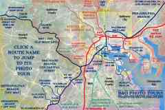
Click a photo to see a larger view. Please send your comments and corrections to Steve.
Adamstown Cutoff - Brief Historical Background:
Special thanks to the seemingly-indefatigable Hiteshew father-son team for contributing most of the pictures on this page.

Photo courtesy Johns Hopkins University |
| |||||||||||
| ||||||||||||

Photo courtesy Google |
| |||||||||||
| ||||||||||||

Photo courtesy Google |
| |||||||||||
| ||||||||||||
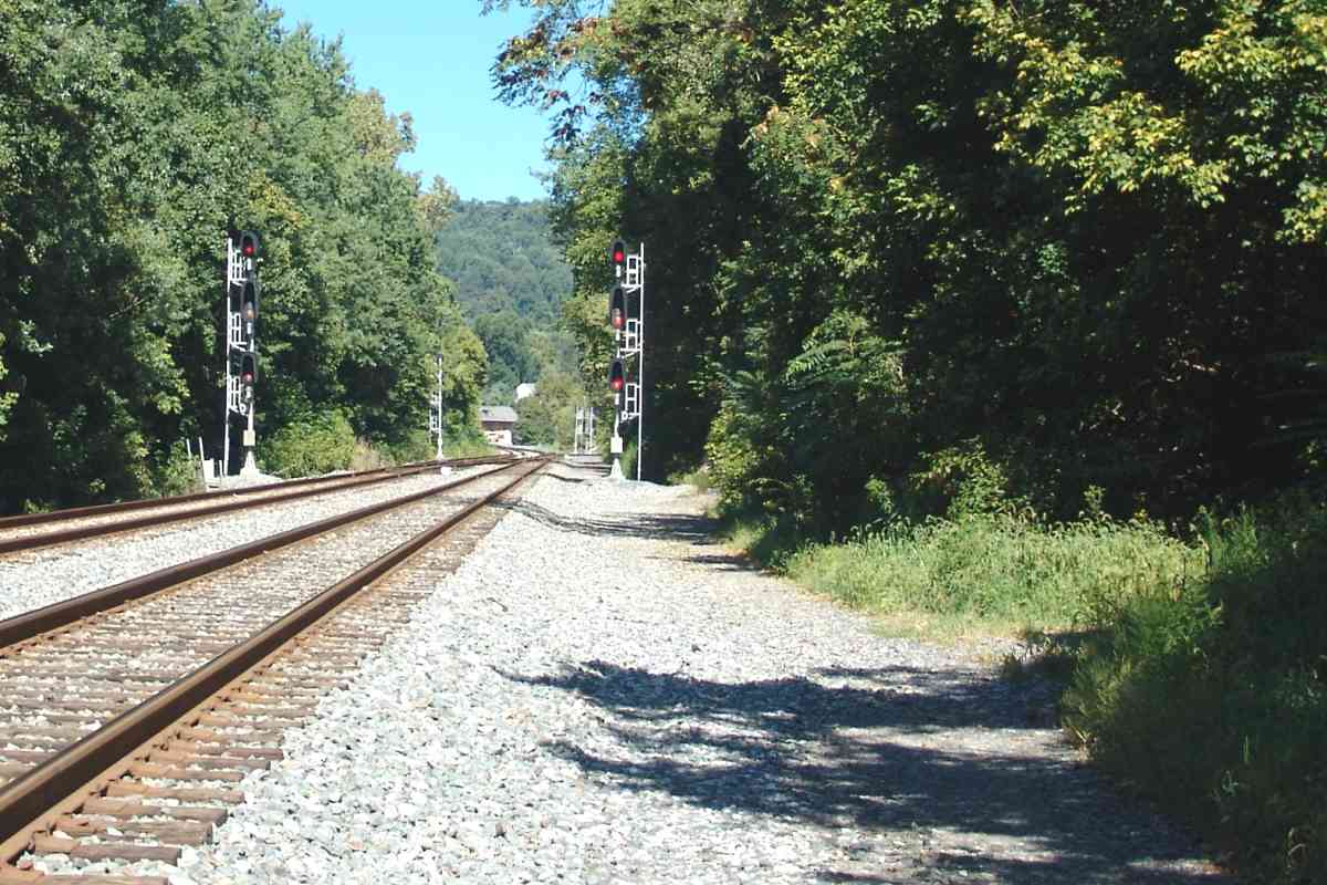
Photo courtesy Dave Hiteshew |
| |||||||||||
| ||||||||||||
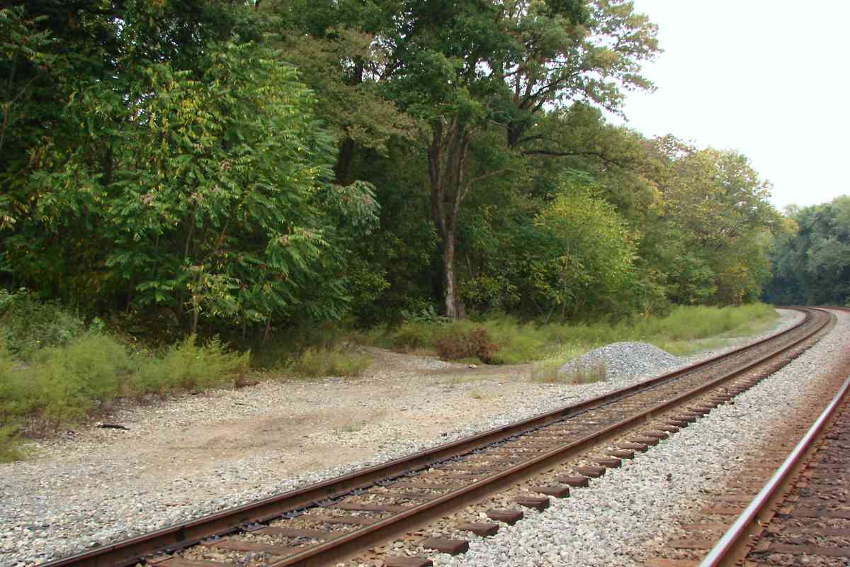
Photo courtesy Dave Hiteshew |
| |||||||||||
| ||||||||||||
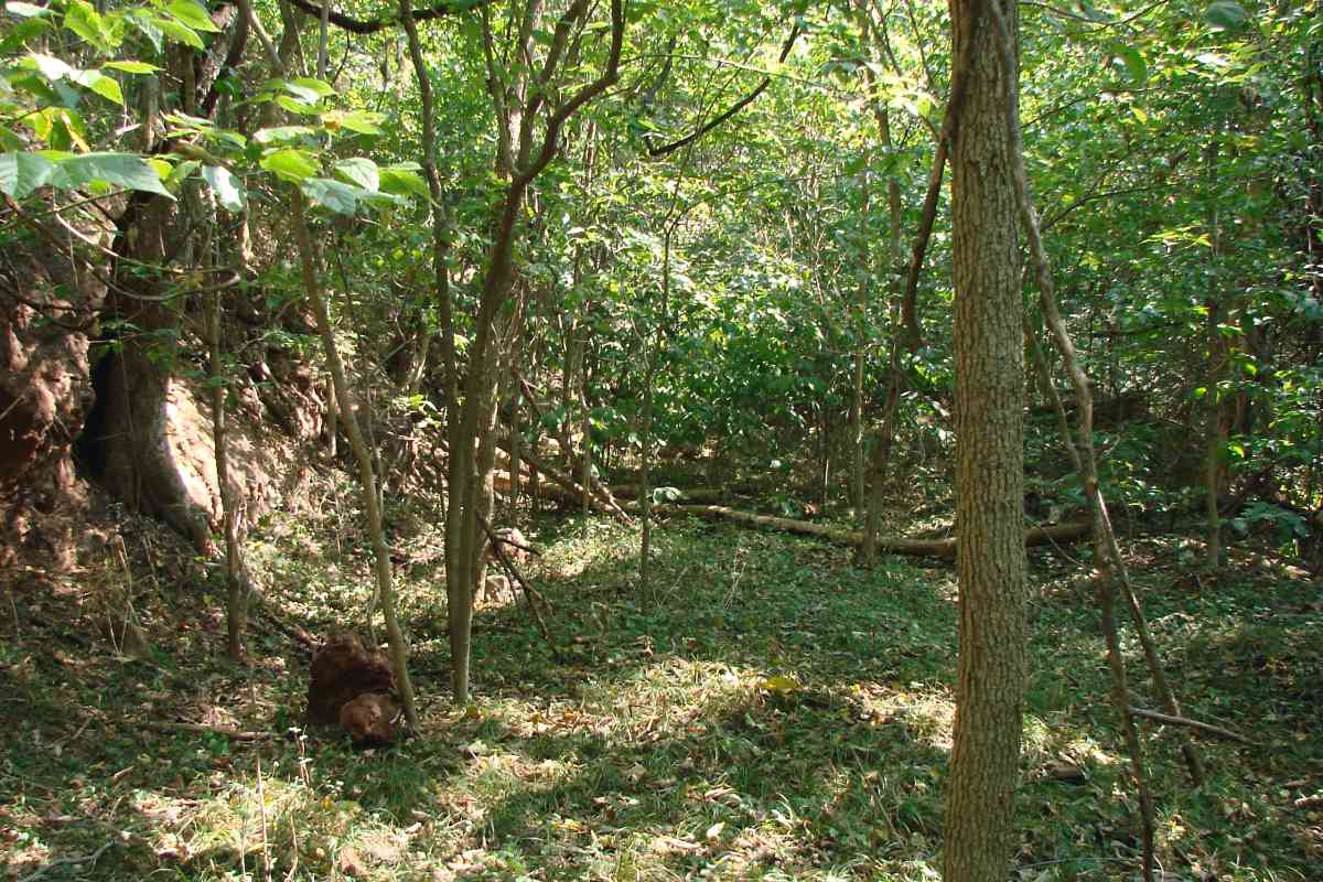
Photo courtesy Dave Hiteshew |
| |||||||||||
| ||||||||||||
Photo courtesy Dave Hiteshew |
| |||||||||||
| ||||||||||||
Photo courtesy Dave Hiteshew |
| |||||||||||
| ||||||||||||
Photo courtesy Dave Hiteshew |
| |||||||||||
| ||||||||||||
Photo courtesy Dave Hiteshew |
| |||||||||||
| ||||||||||||
Photo courtesy Dave Hiteshew |
| |||||||||||
| ||||||||||||
Photo courtesy Dave Hiteshew |
| |||||||||||
| ||||||||||||
|
| |||||||||||
| ||||||||||||
Photo courtesy Dave Hiteshew |
| |||||||||||
| ||||||||||||

Photo courtesy Dave Hiteshew |
| |||||||||||
| ||||||||||||
Photo courtesy Dave Hiteshew |
| |||||||||||
| ||||||||||||
|
| |||||||||||
| ||||||||||||
Photo courtesy Dave Hiteshew |
| |||||||||||
| ||||||||||||
|
| |||||||||||
| ||||||||||||
Photo courtesy Dave Hiteshew |
| |||||||||||
| ||||||||||||
Photo courtesy Dave Hiteshew |
| |||||||||||
| ||||||||||||
Photo courtesy Dave Hiteshew |
| |||||||||||
| ||||||||||||
Photo courtesy Dave Hiteshew |
| |||||||||||
| ||||||||||||
Photo courtesy Dave Hiteshew |
| |||||||||||
| ||||||||||||
Photo courtesy Dave Hiteshew |
| |||||||||||
| ||||||||||||

Photo courtesy Dave Hiteshew |
| |||||||||||
| ||||||||||||
Photo courtesy Dave Hiteshew |
| |||||||||||
| ||||||||||||