Click a photo to see a larger view. Please send your comments and
corrections to Steve.
The Stone Age of Railroading - very little was known about what
materials would suffice for building a "rail road" when B&O began construction
during the 1820s. Metal was in short supply and therefore expensive,
and wood was deemed too weak and subject to decay. Contemporaneously in
Washington, DC large amounts of stone were being used for the construction
of the Capitol and the nascent C&O canal. At the urging of construction
superintendent Caspar Wever, stone also became B&O's first choice.
Wever was not an engineer, but in 1828 he was in Maryland and able to
influence the company's hurried, early decisions while B&O's team of
engineers was busy for months visiting England to learn about railway
construction there.
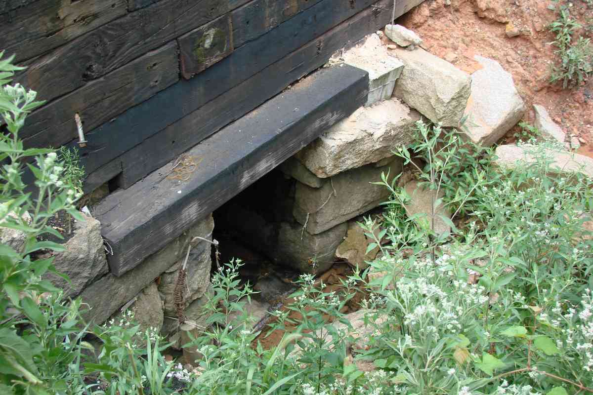
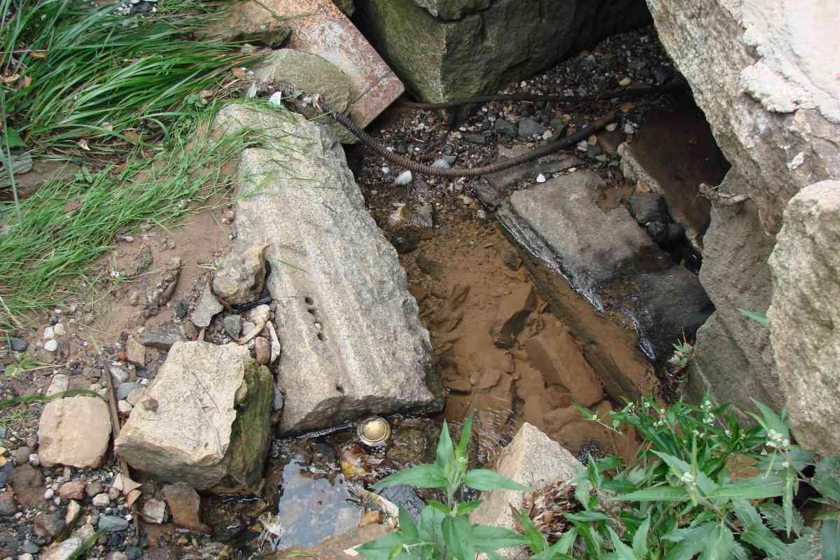
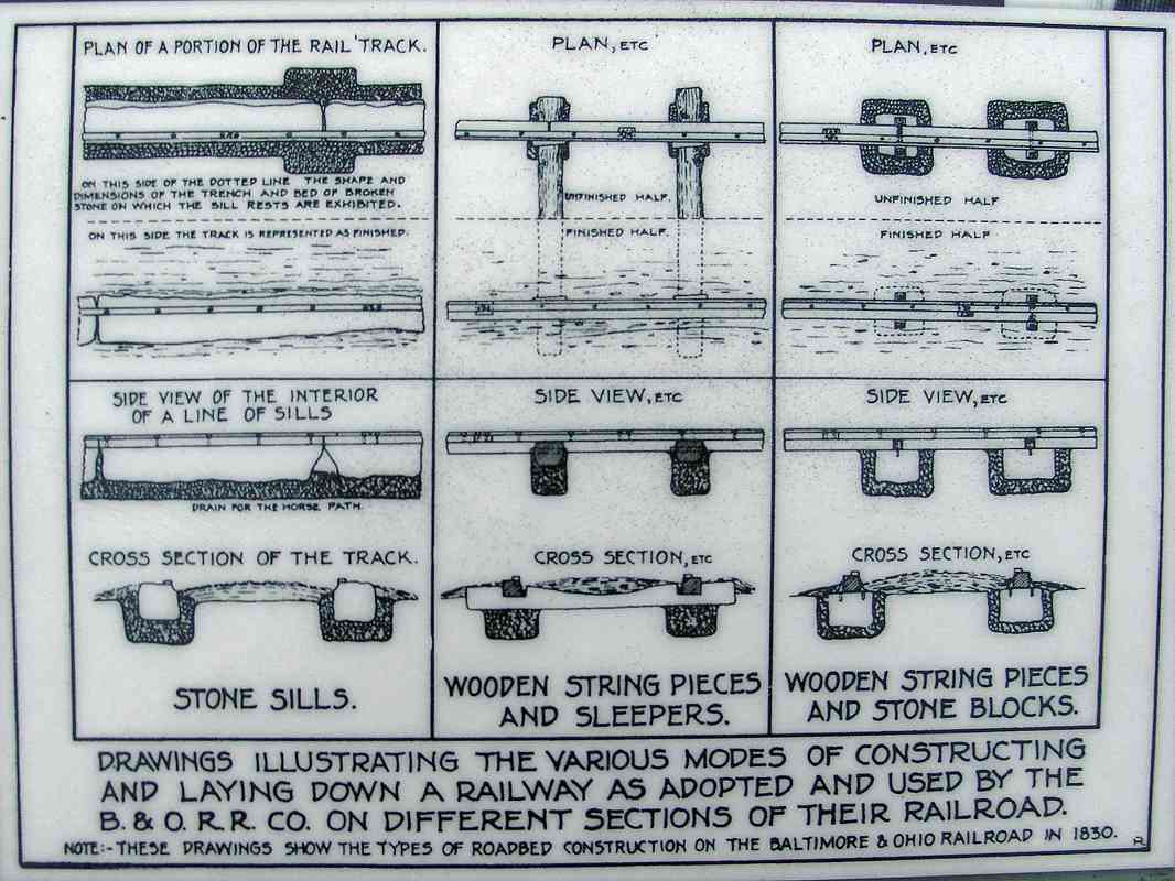
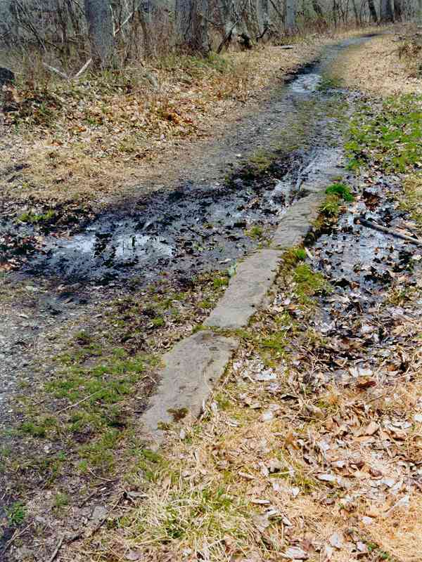
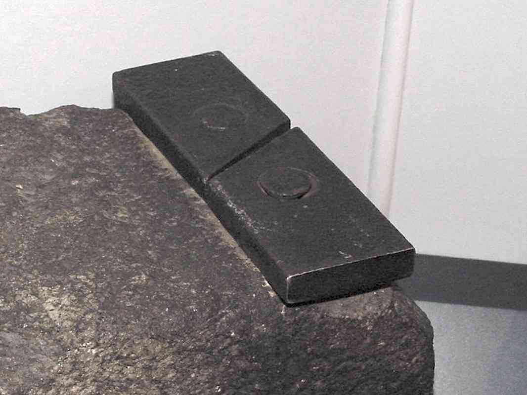
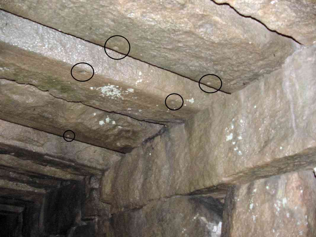
Wever's track design called for a system of stone blocks supporting wood
stringers upon which strips of iron had been affixed. The stringers ran
parallel to the direction of travel. Several miles of track between
Baltimore and Ellicott City were constructed via this method. Surviving
evidence of it remains well-buried and elusive.
At the start of 1830, B&O turned things over to chief engineer Jonathan
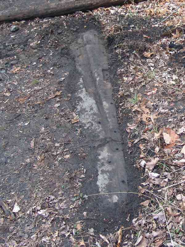
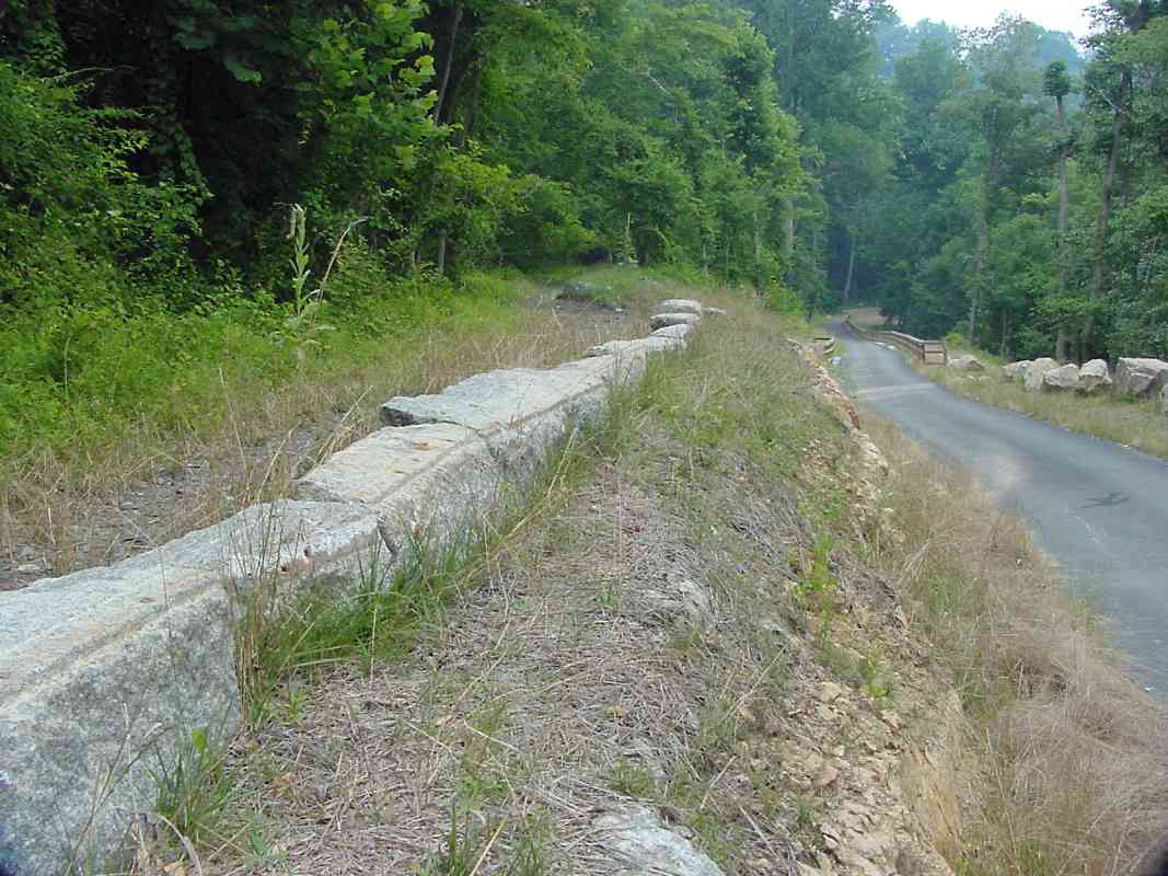
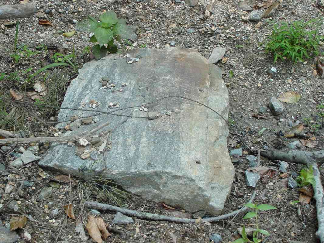
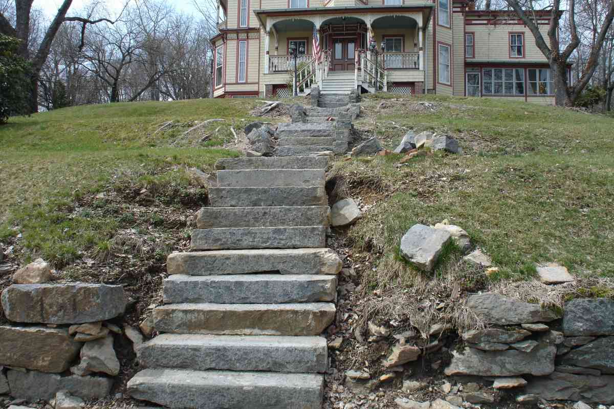
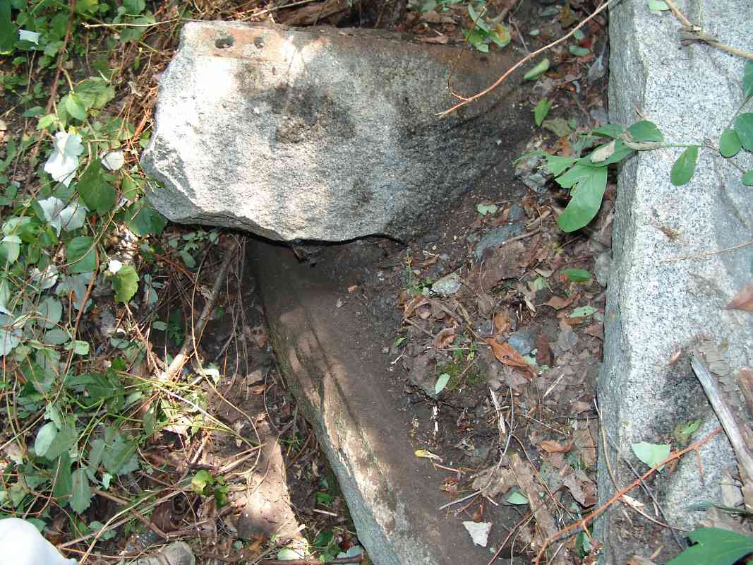
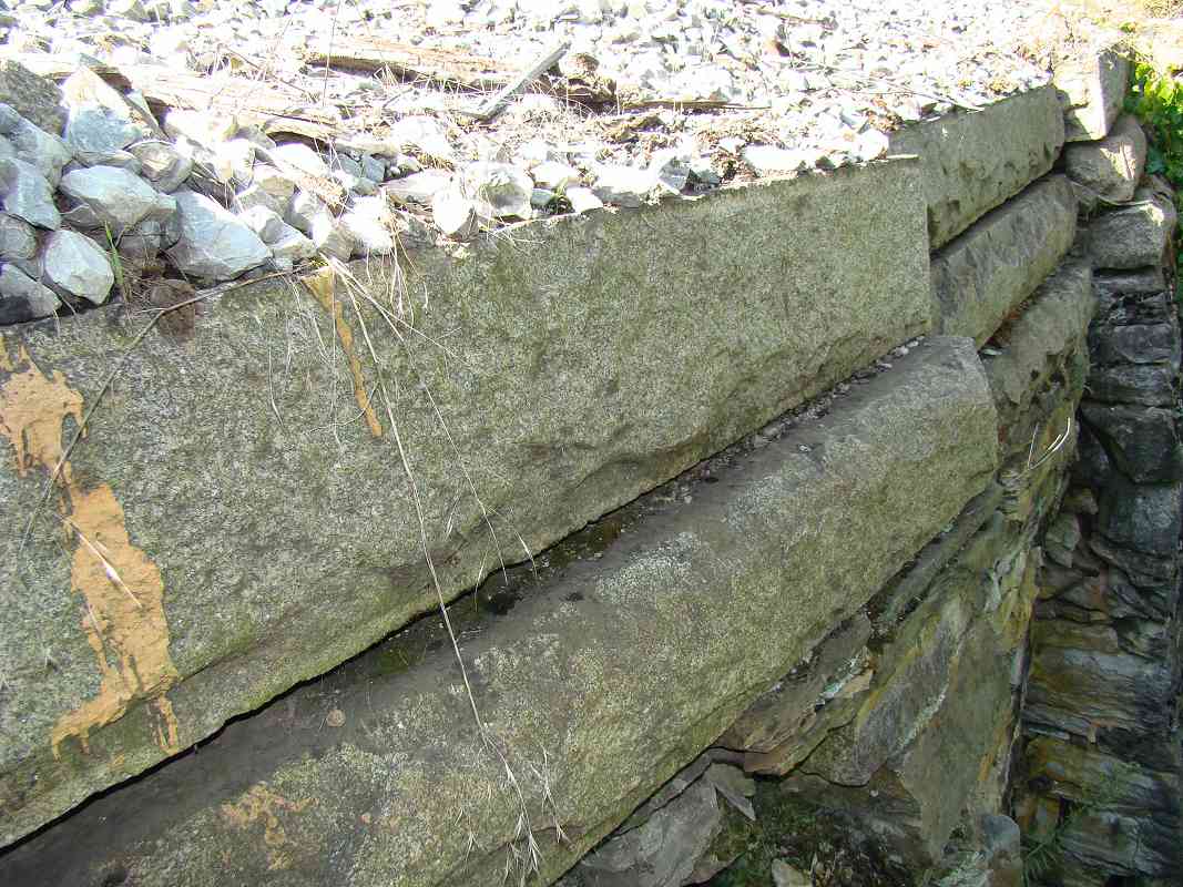
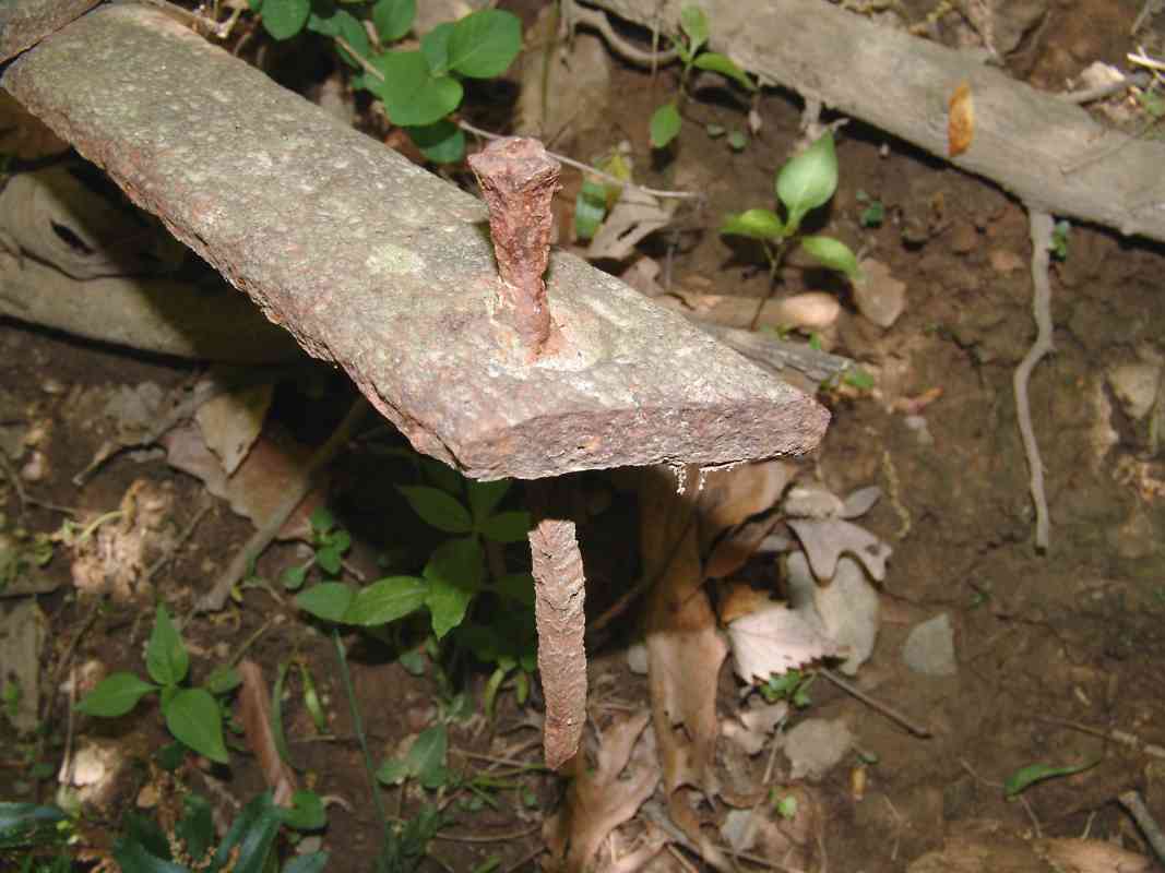
Knight. Knight, displeased with Wever's design, chose to eliminate
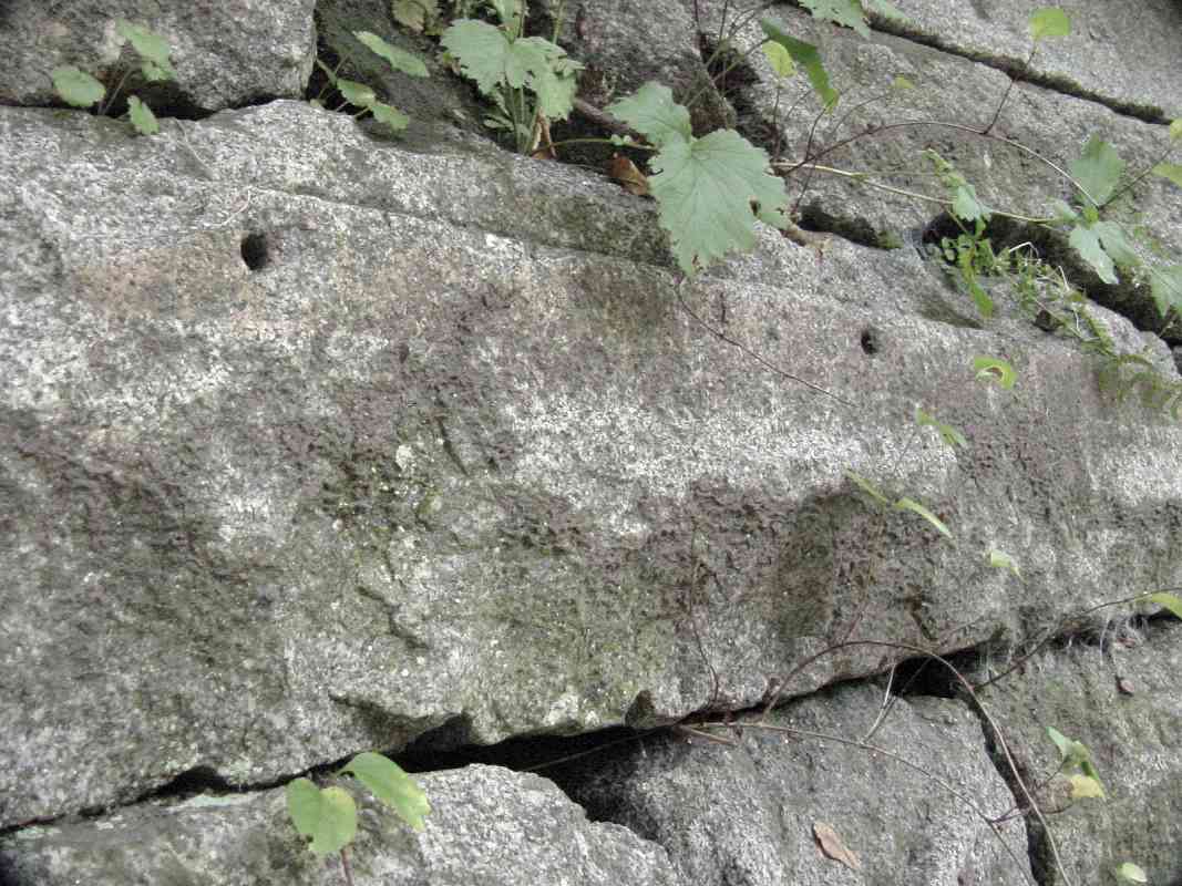
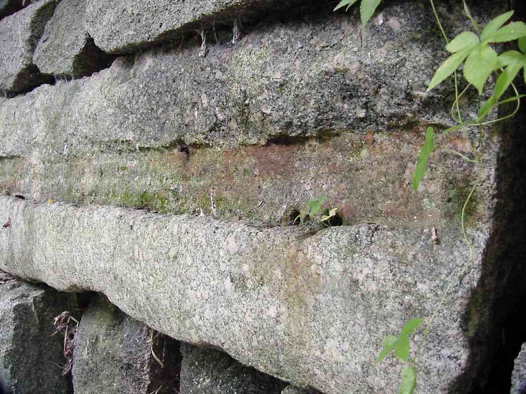
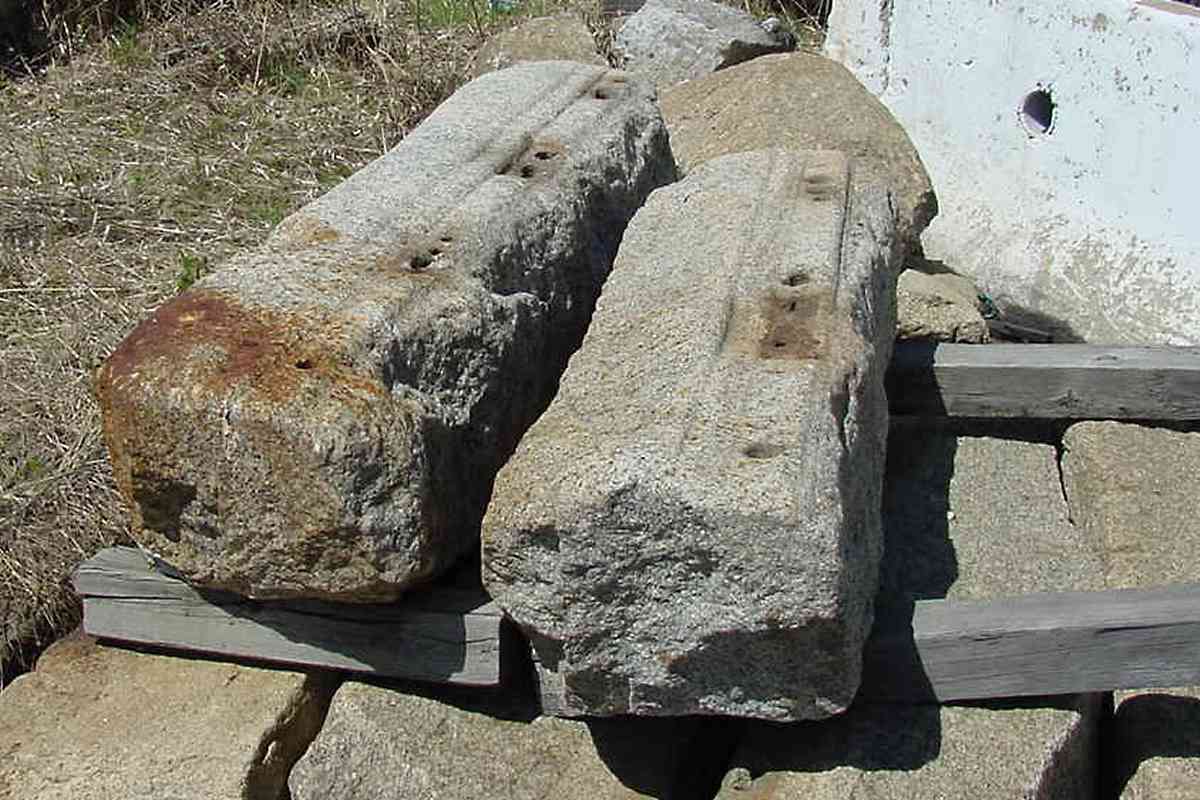
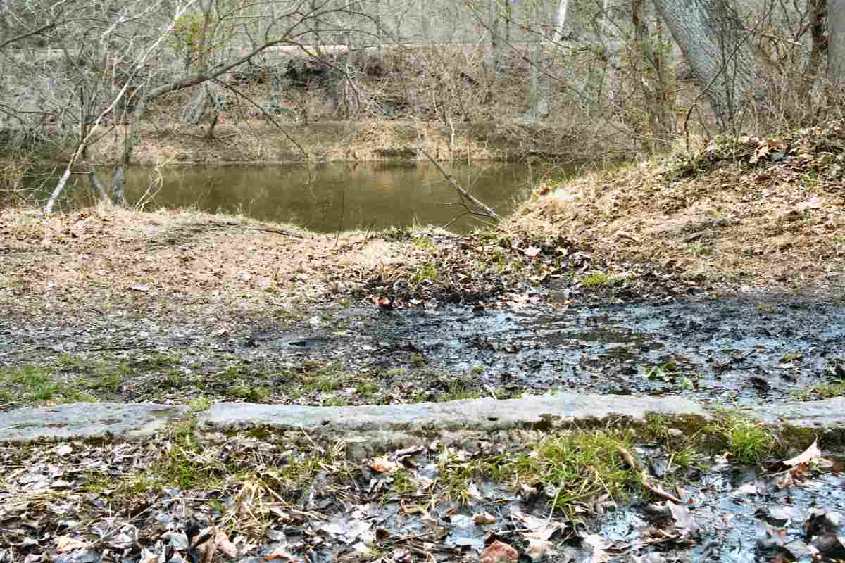
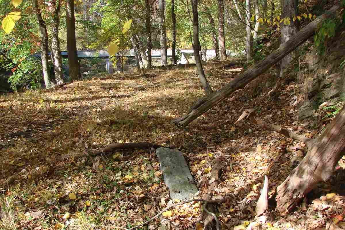
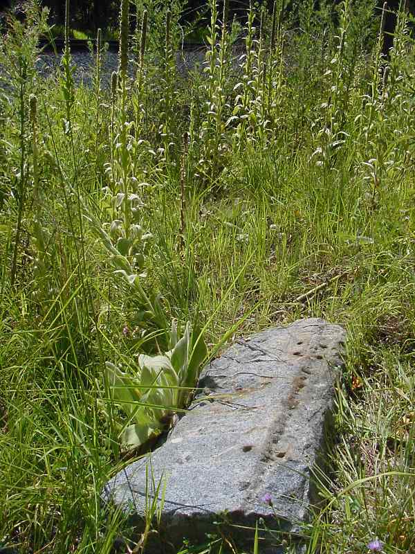
the wood entirely and use stringers made of granite. The stone was readily
available in the Patapsco valley, and several new quarries such as those
upstream in Granite, Maryland had opened to meet the demand. To provide a
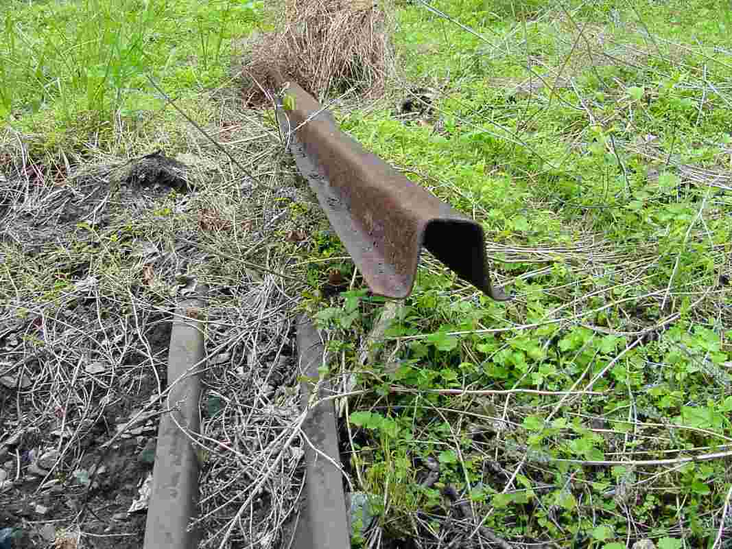
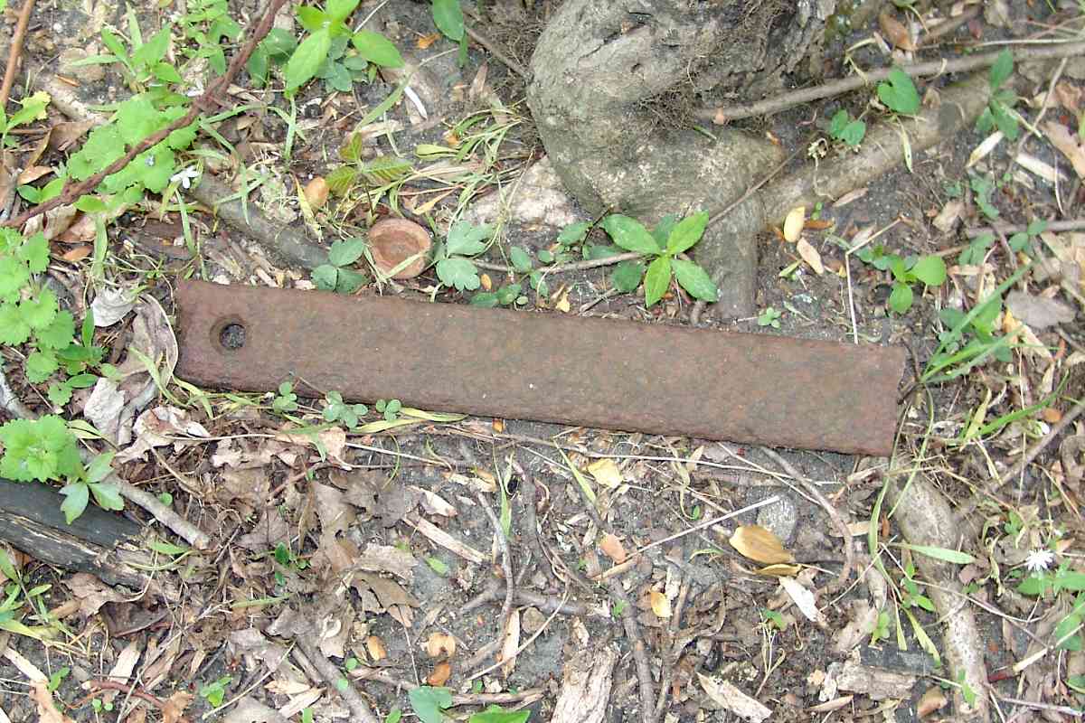
smooth rolling surface for train wheels, workers nailed atop the stone a
strip of iron B&O called plate rail, later known as strap rail.
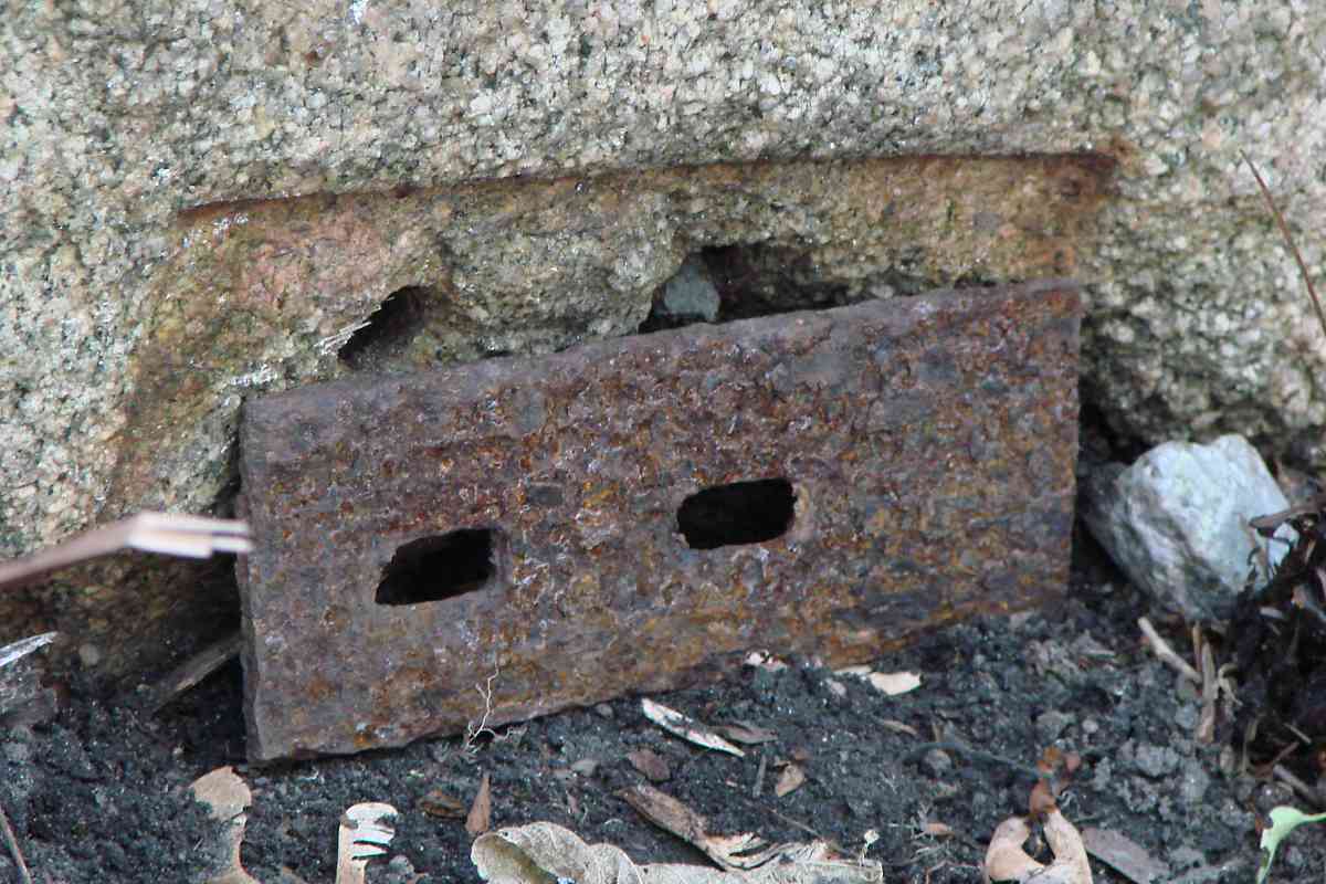
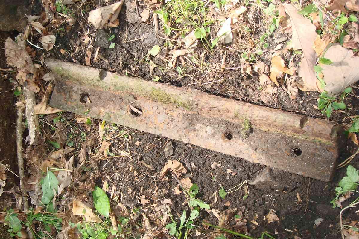
Durable as it was, within a few years the granite and iron proved
impractical due to both construction and maintenance costs. For new
construction, B&O by 1830 had fully switched to early versions of what
we are more familiar with today: wooden ties/sleepers supporting T-rail.
The better preservation of wood provided by the creosote treatment patented
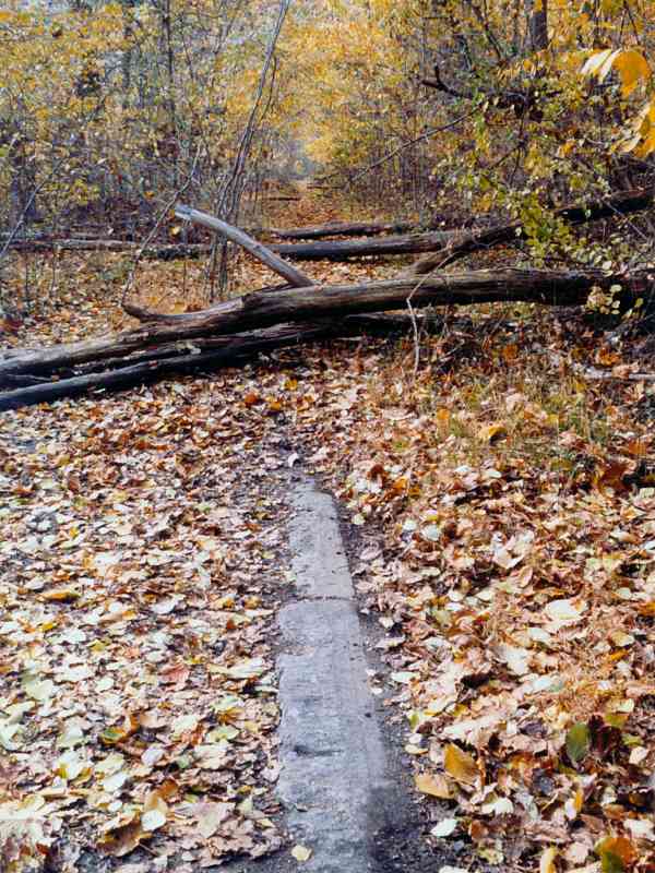
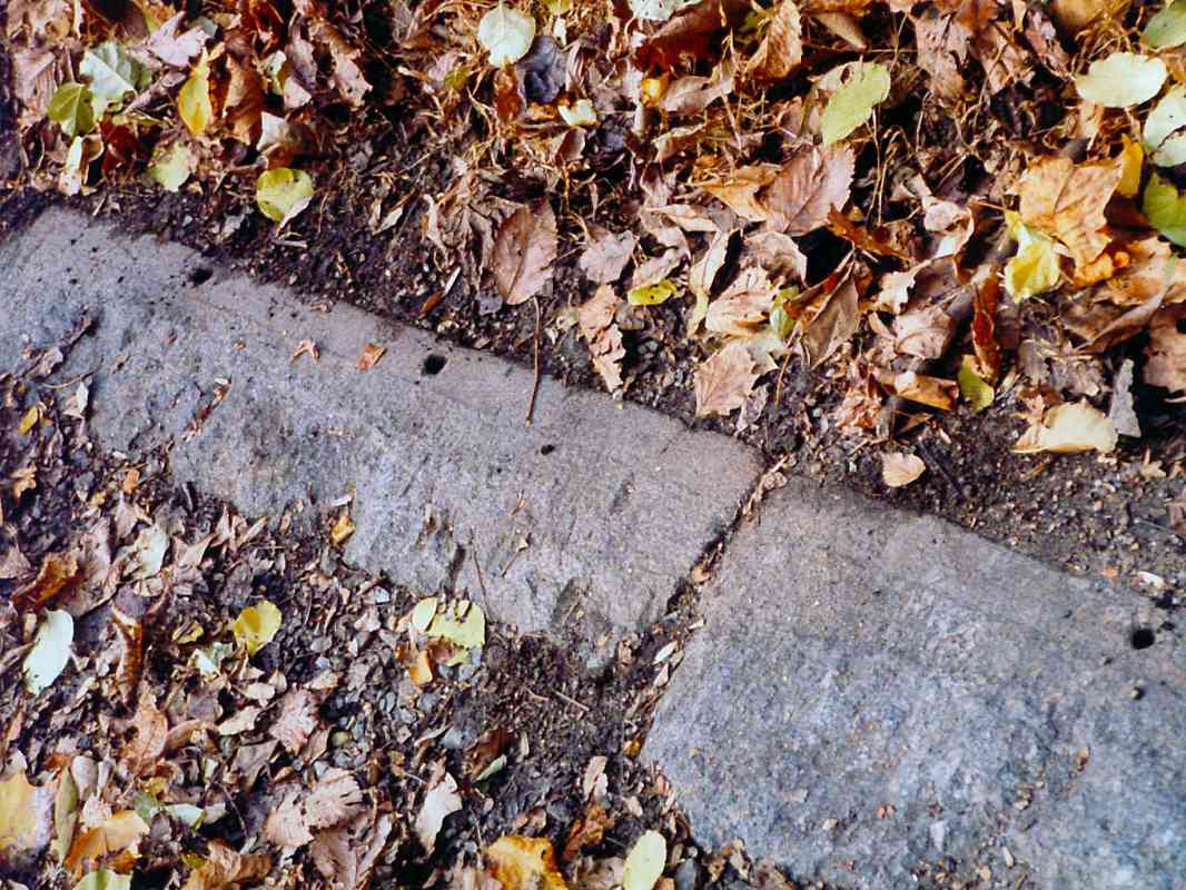
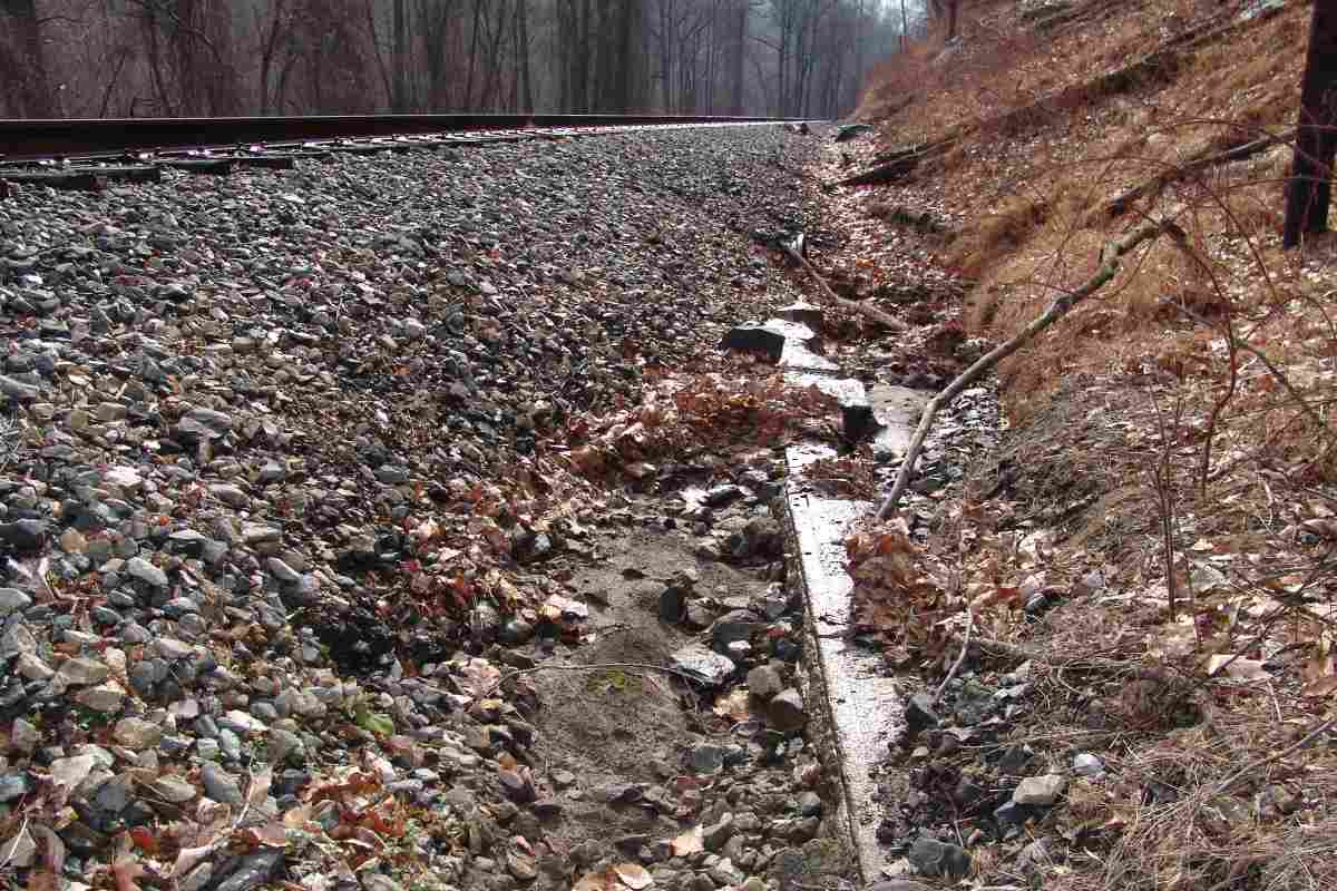
in 1836 may have furthered this decision. Strap rail continued in use
along portions of the Old Main through 1846, and relics of the system
can still be found, as illustrated below.