|
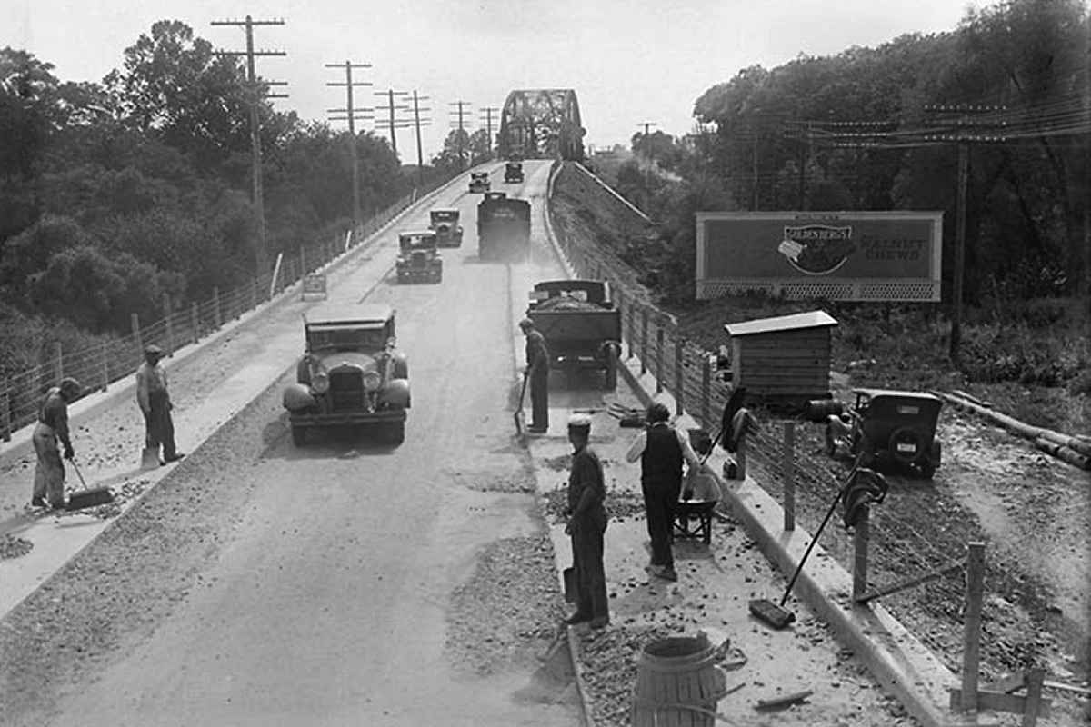
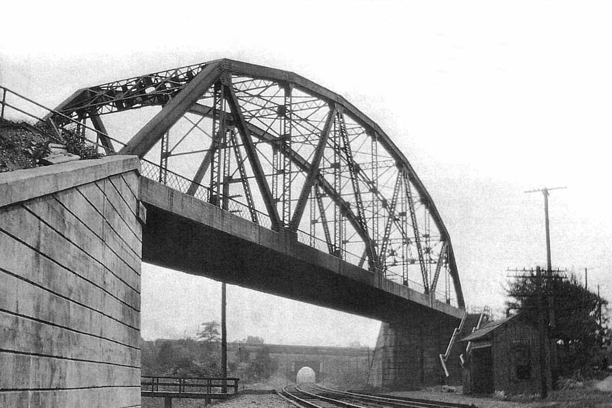
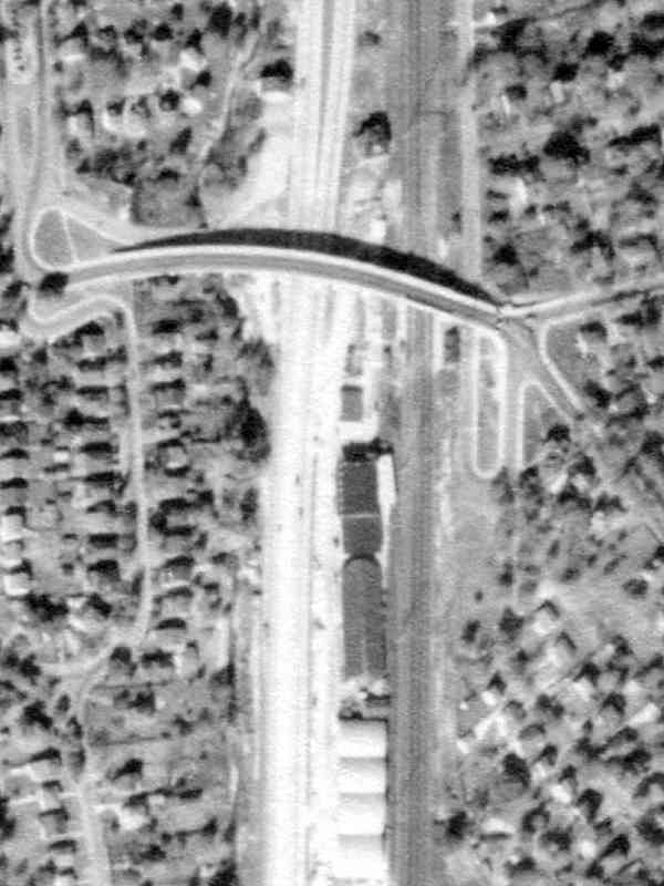
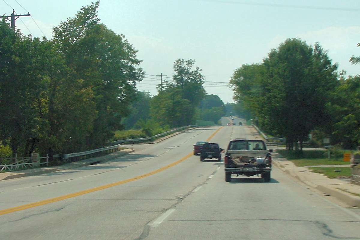
There's no catenary yet, in fact the trackage below would not see its first
electric train until 1935. From this angle, the US 1 bridge appears to be
narrower than the road's 30-foot width. That's the B&O main line in
the distance crossing via Winans Arch. Both bridges were replaced when PRR
widened to three or four tracks.
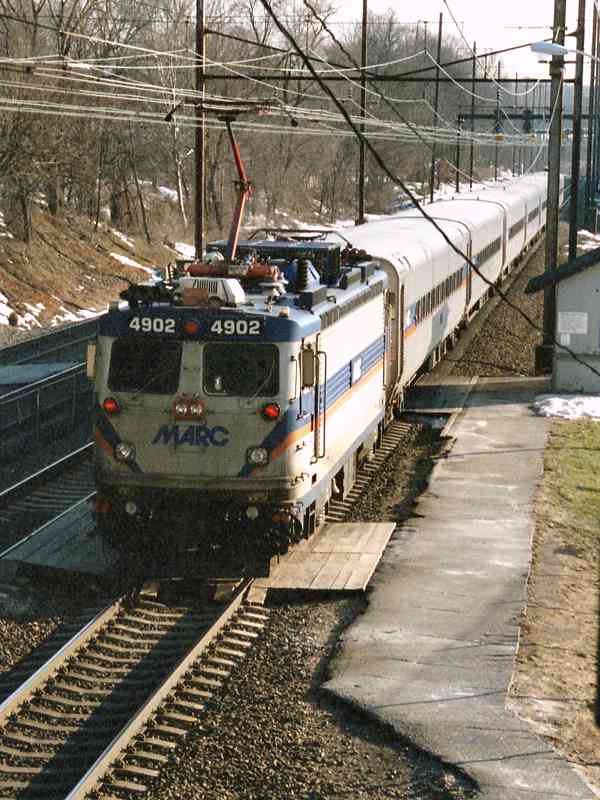
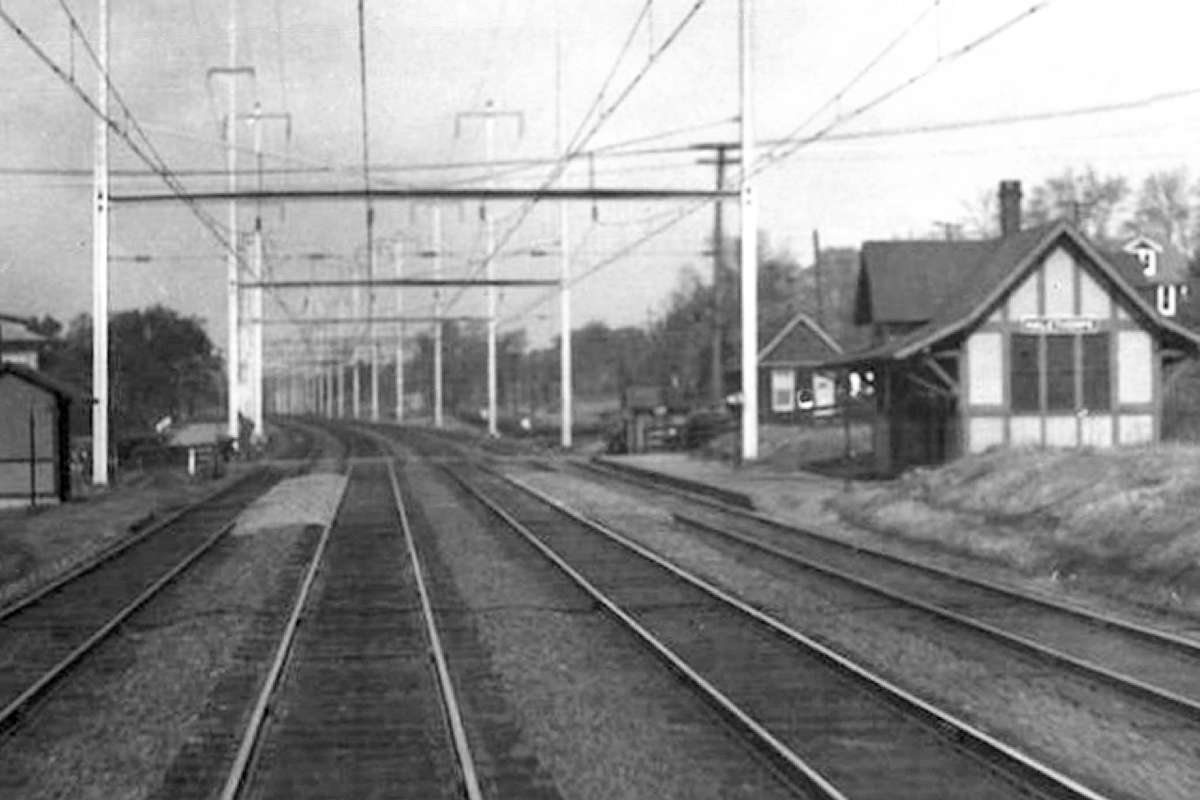
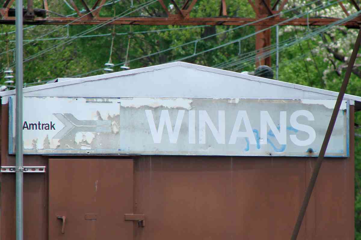
An 1898 atlas places Winans Station in the grade crossing's southwest quadrant.
When the first grade separation bridge was erected south of the grade crossing
around 1910, the station, which stayed put, then found itself in the northwest
quadrant. It's the shack on the right in the circa 1930 photo. If the shack's
foundation still exists, it's buried beneath several feet of soil regraded
by the later addition of various utility lines. Nothing of the bridge's
concrete support walls is visible now.
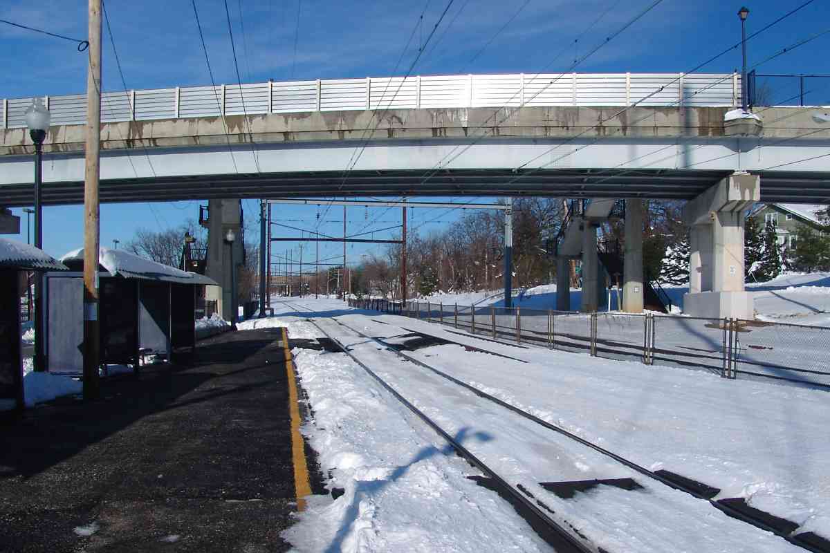
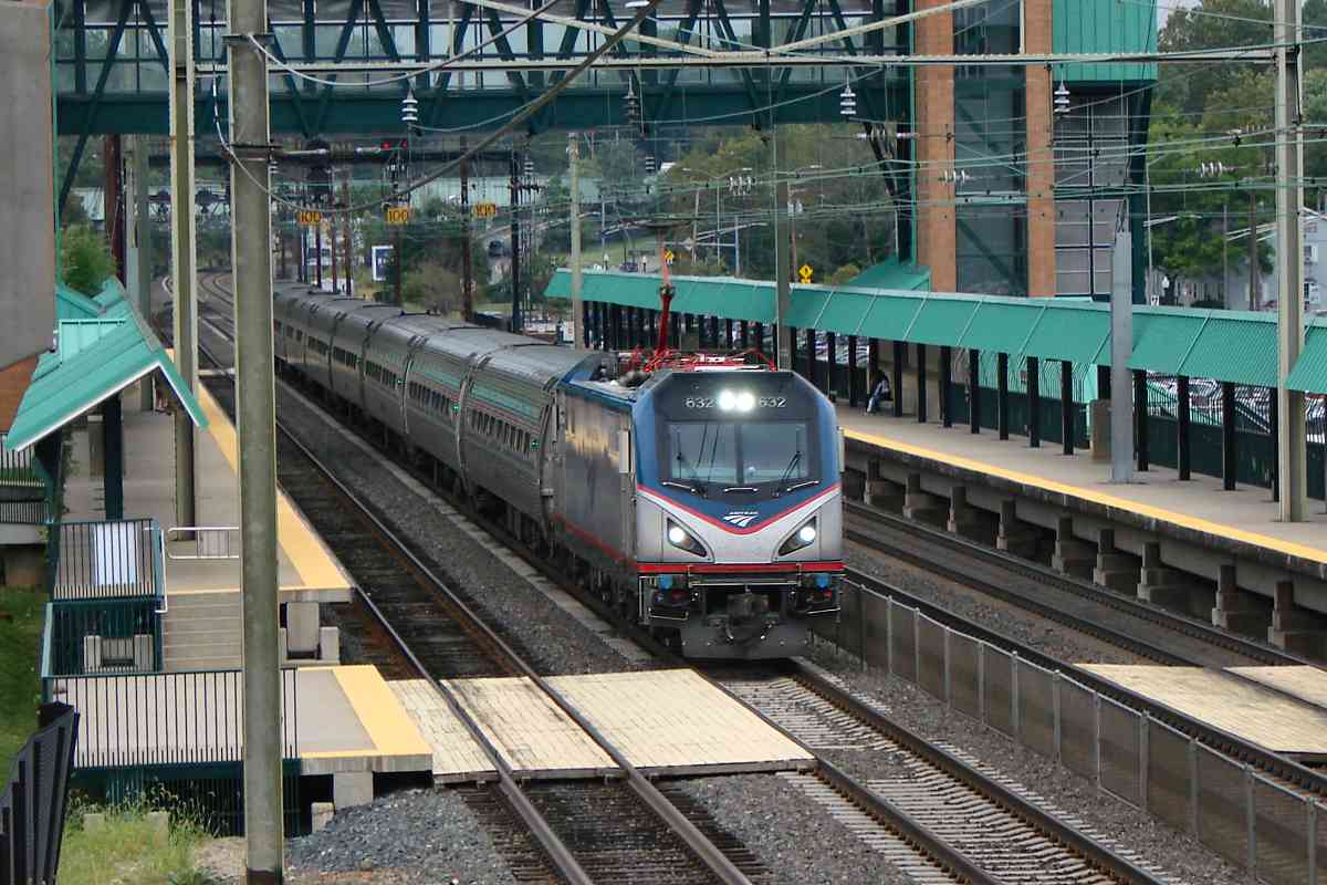
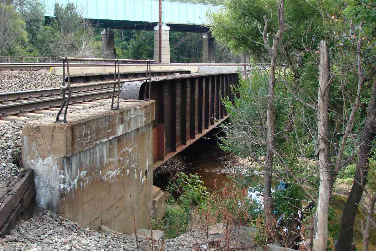
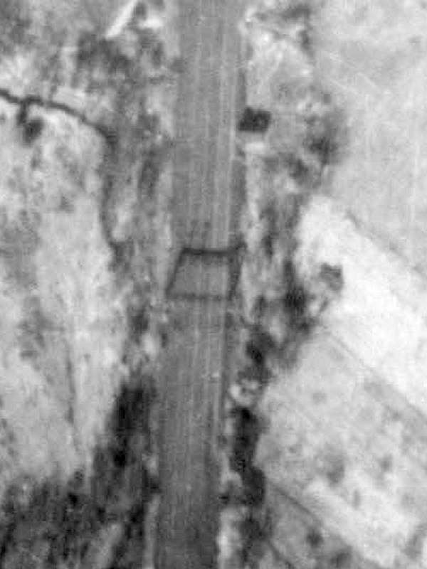
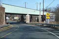 The 2017 view at right looks at the second bridge from the opposite direction. Its
concrete-embossed date of 1936 represents the start of construction rather than
completion: aerial photos from April 1938 show the first bridge here still in use.
The bridge was rehabbed in 1979, and crumbling reinforced concrete says another
rehab is due. The Buckle Up billboard at right resides where Winans Station had.
The 2017 view at right looks at the second bridge from the opposite direction. Its
concrete-embossed date of 1936 represents the start of construction rather than
completion: aerial photos from April 1938 show the first bridge here still in use.
The bridge was rehabbed in 1979, and crumbling reinforced concrete says another
rehab is due. The Buckle Up billboard at right resides where Winans Station had.
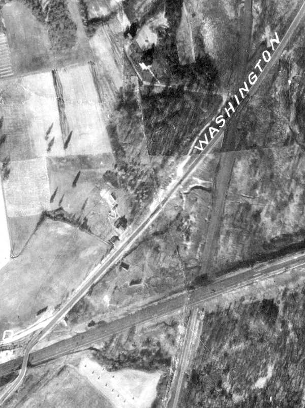
Winans Station does not appear in a 1952 aerial, however it remains on a PRR
1945 list of stations. Despite that listing, I suspect it closed when the
second bridge opened because the station then became awkward to access.
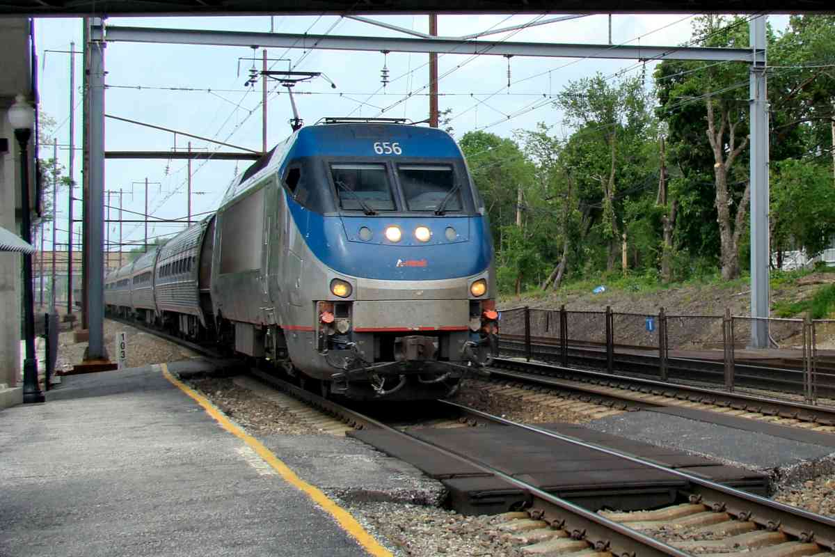
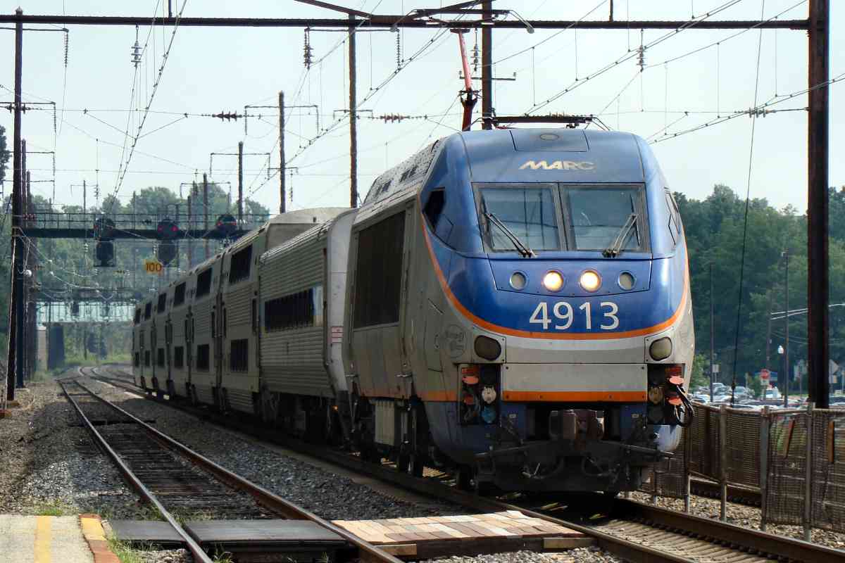
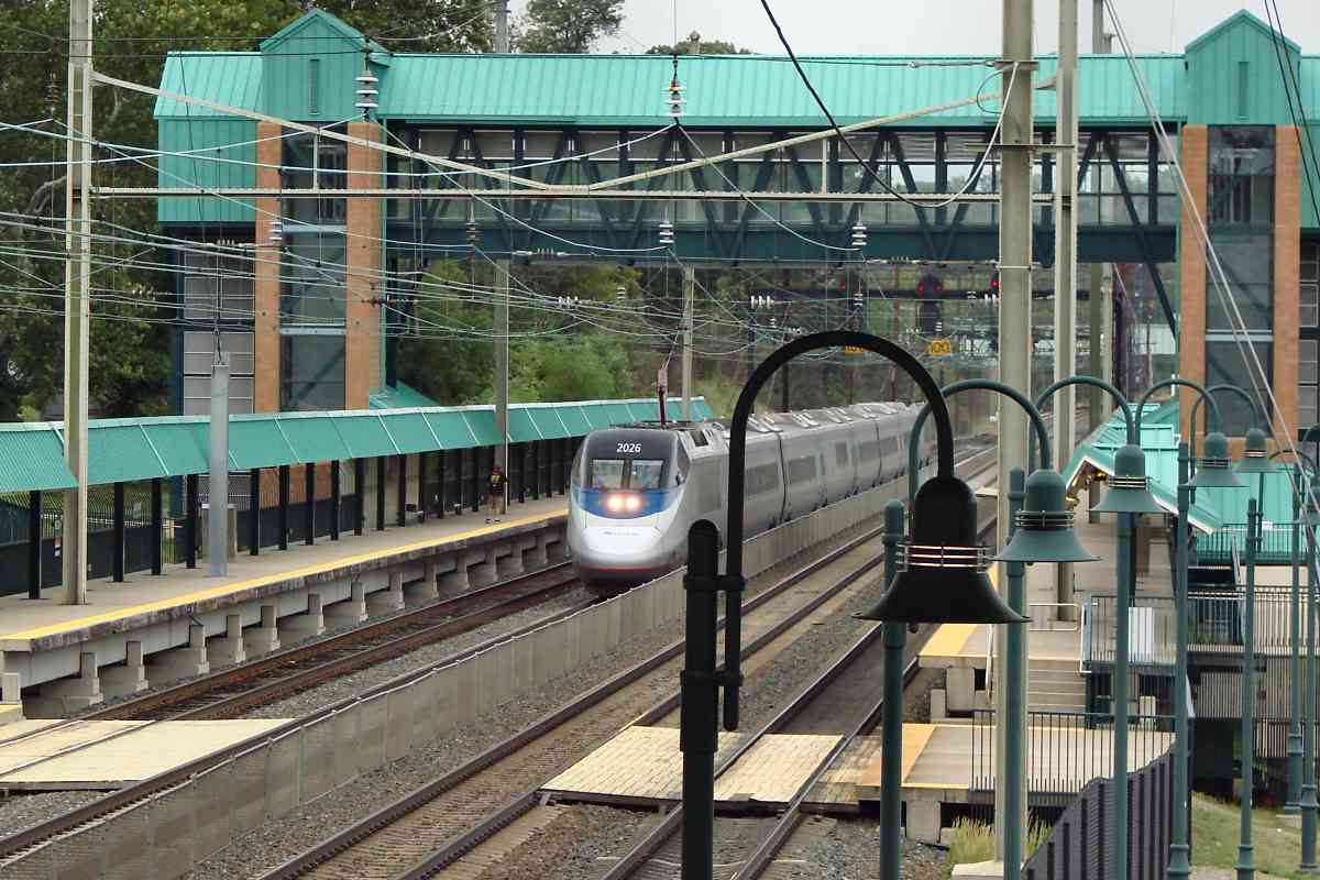
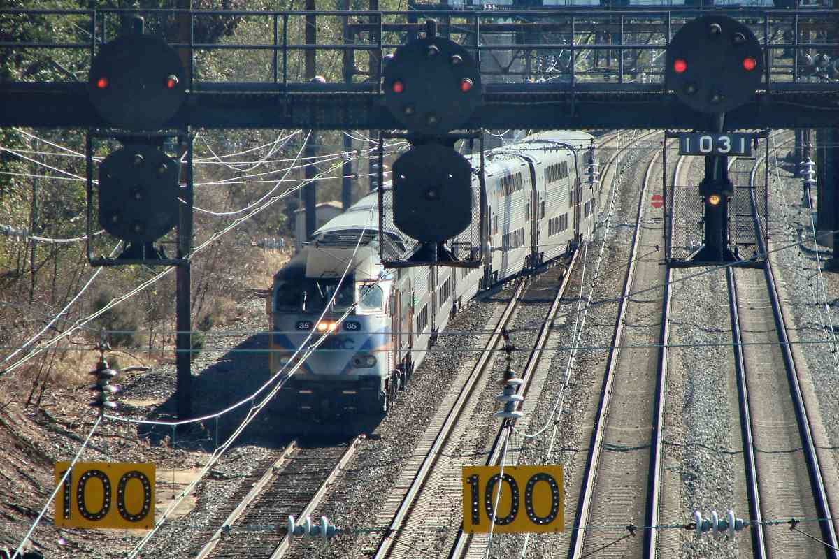
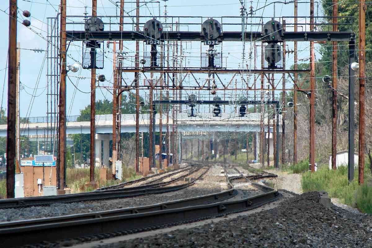
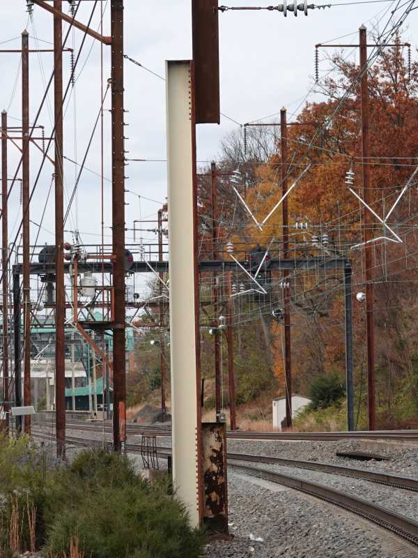
Where PRR had four tracks, the outer ones were generally
designated for freight and the inner ones for passenger trains.
Link:
1931
|