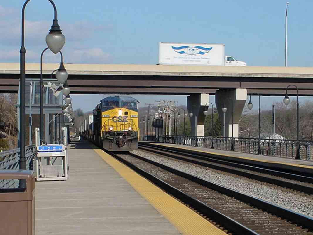
|
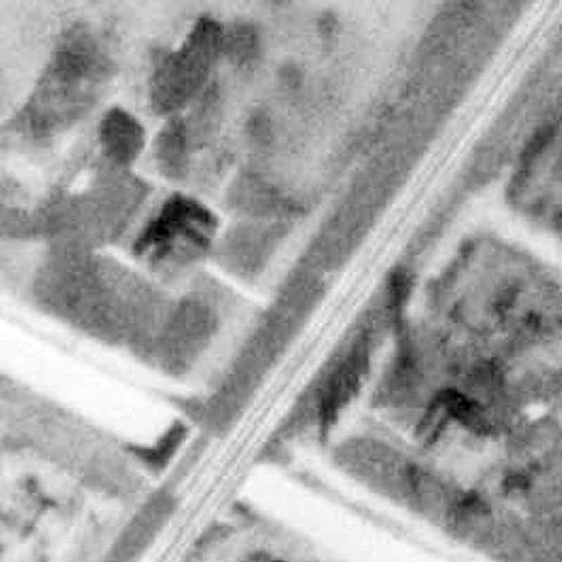
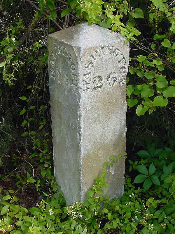
Before MARC had a Dorsey Station (off upper right), B&O had two. An 1878
GM Hopkins map puts Dorsey Switch Station in the southwest quadrant of the
intersection with Dorsey Road. A 1889 B&O station table also calls this
spot Wesley Grove. The switch may have led to industry where Route 100
Industrial Park later developed.
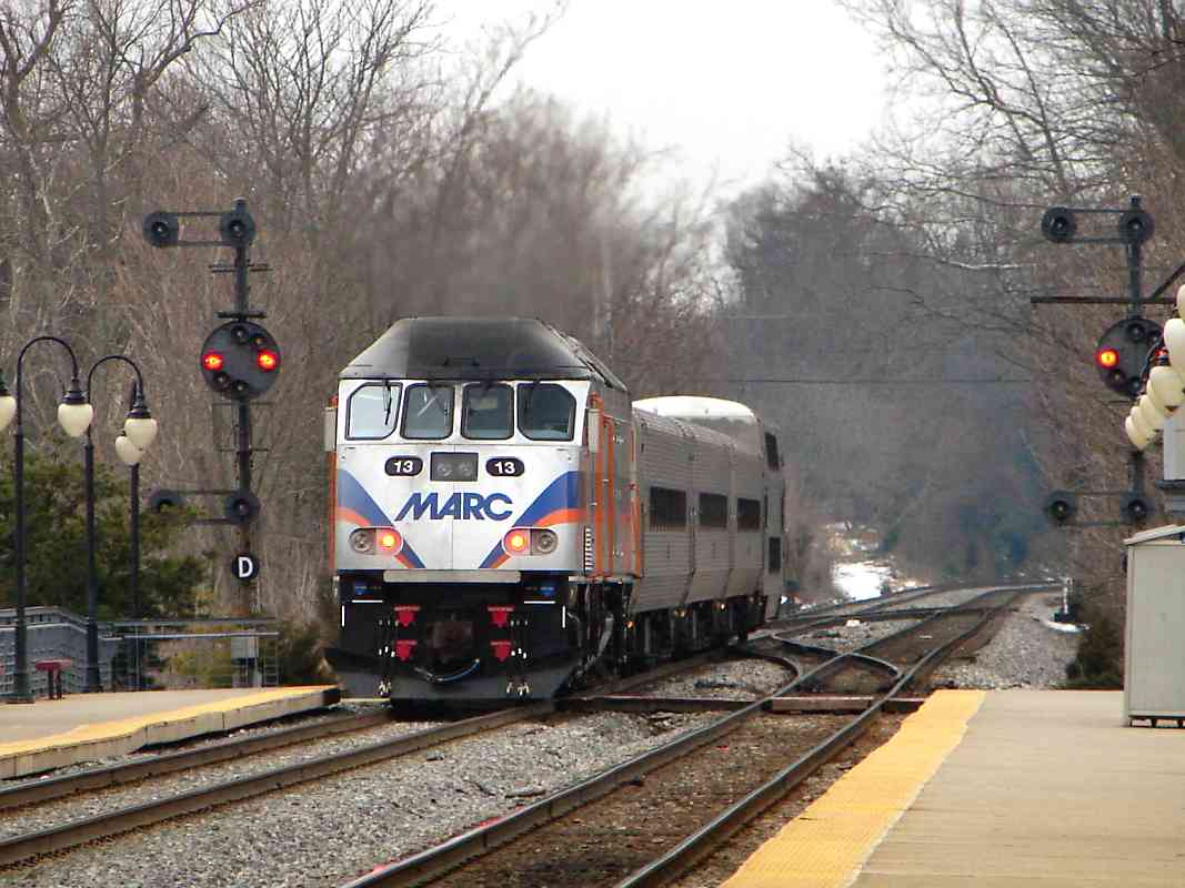
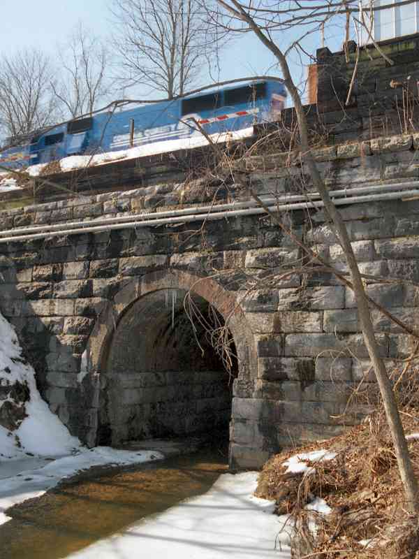
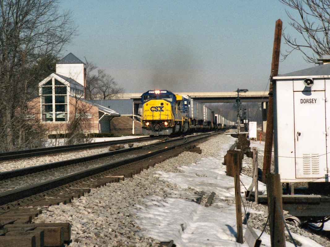
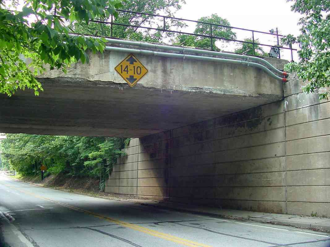
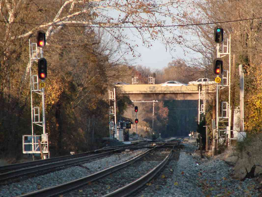
A 1937 ICC accident report shows Dorsey Station, probably B&O's second
station here, in the southeast quadrant where the arrow points. This photo
dates to shortly after grade separation of Dorsey Road (the brightest
line, now Maryland 103). The Dorsey Road grade crossing had witnessed five
train-vehicle collisions within the ten years prior to separation, including
one involving B&O 5317 during February 1937 as documented by the ICC report
linked below. Though the engine tumbled into Deep Run, apparently it was
repaired because it appears elsewhere in a color photo.
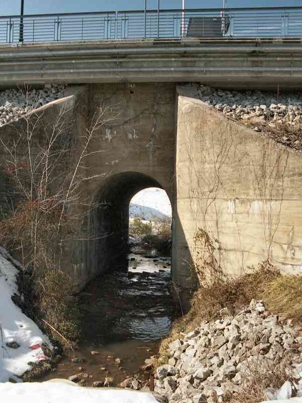
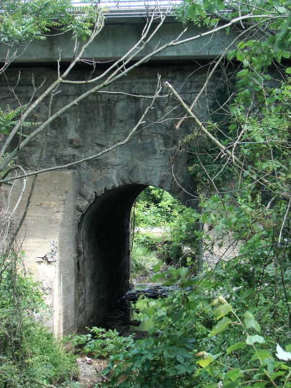
The grade crossing had been between the bridge and the small station. The
station's closure year has been forgotten but is probably buried somewhere in B&O records.
Links:
ICC report 1937 wreck (PDF),
B&O 5317
|