|
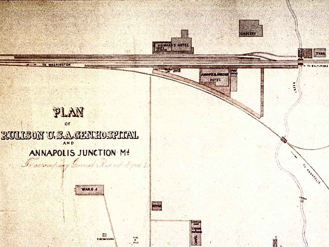
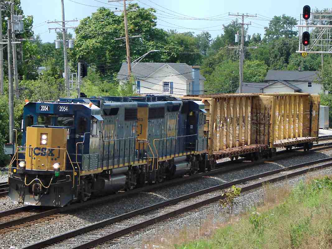
The small town of Annapolis Junction (AJ) formed around the wye that connected
the Annapolis and Elk Ridge Railroad (A&ER) to B&O in 1838. On this 1865 map,
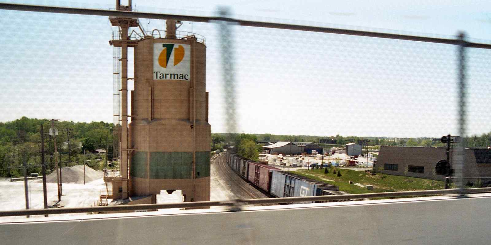
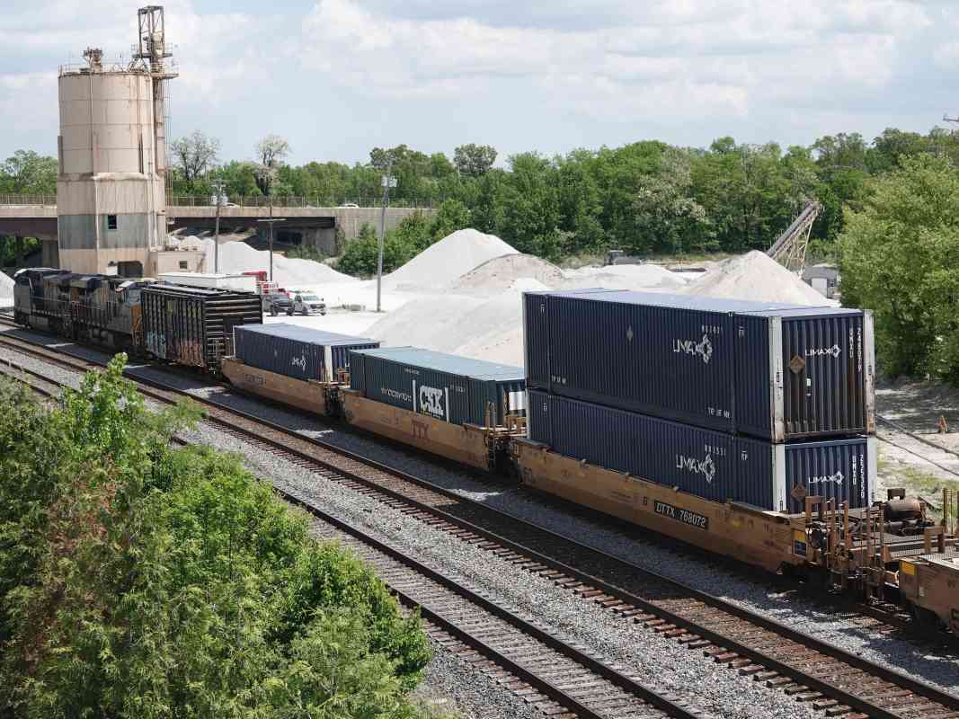
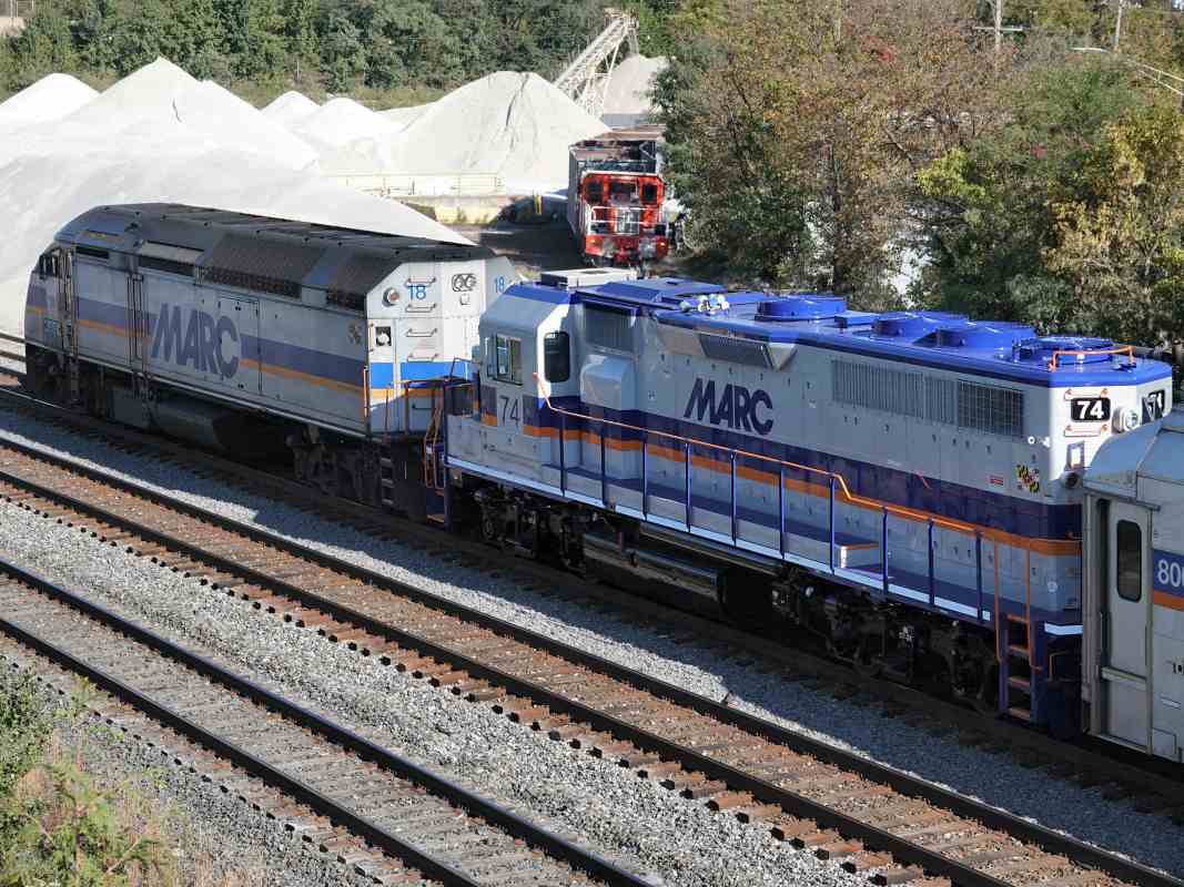
B&O runs right-left, and A&ER curves toward the bottom. Freight trains still
stop at the wye during the 21st century, and a newish commuter station is about
1000 feet west (left).
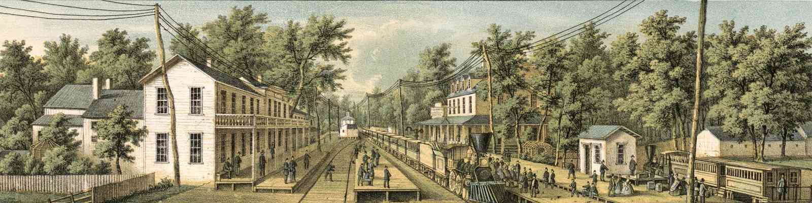
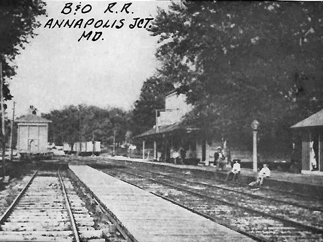
AJ had a B&O station, hotel, post office, grocery and military hospital.
Military presence in this vicinity seems to have begun circa 1860.
Trimmed from the bottom of this map is a plan of Rulison USA General Hospital
that took the place of predecessors Camp Kelsey and Camp Butler. Rulison
was a surgeon with the 9th New York Cavalry who died in a Civil War battle
on August 29th, 1864.
A now-mostly-hidden creek flows from northwest to southeast along the right side,
and was deemed suitably fresh and healthful in 1865 for convalescing injured
solidiers to bathe in. Immediately before passing under the railroad,
that creek runs under the entrance to a B&O freight house. "Tank" appears
to the right of the freight house -- water for steam locomotives. A fuzzy
aerial photo suggests the freight house and water tank were gone by 1952.
Link:
Camp Kelsey
Change for: A&ER tour at this site
|