|
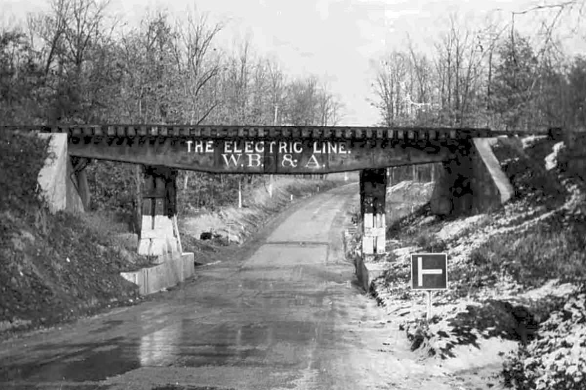
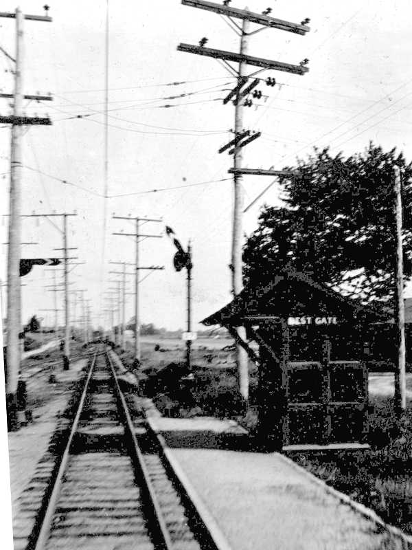
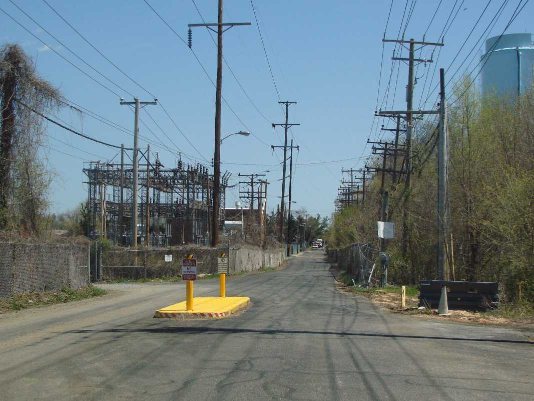
Before A&ER evolved into WB&A's South Shore Division, it met
the Annapolis Short Line at this spot, the site of an old A&ER wye,
then christened it Bay Ridge Junction.
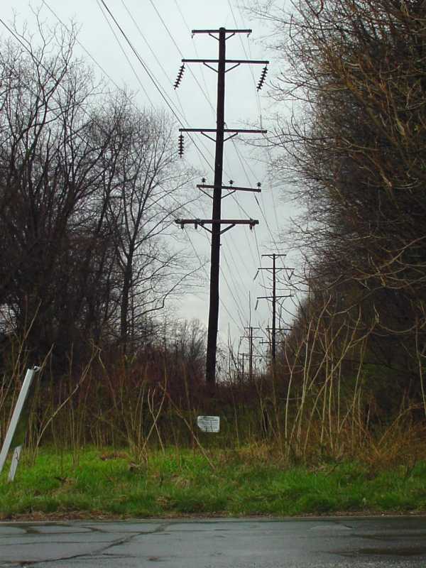
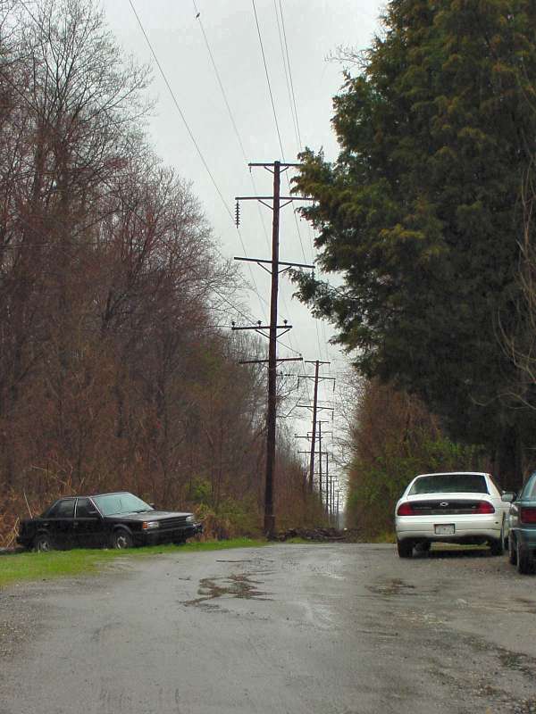
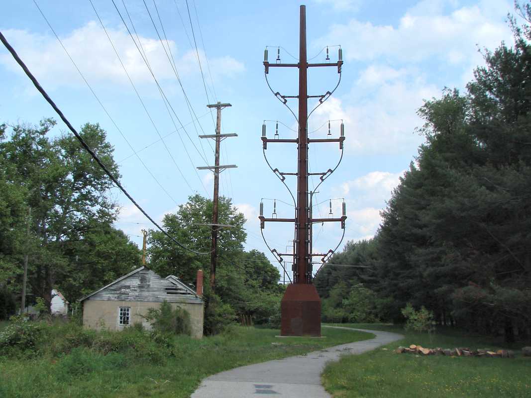
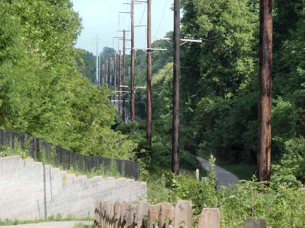
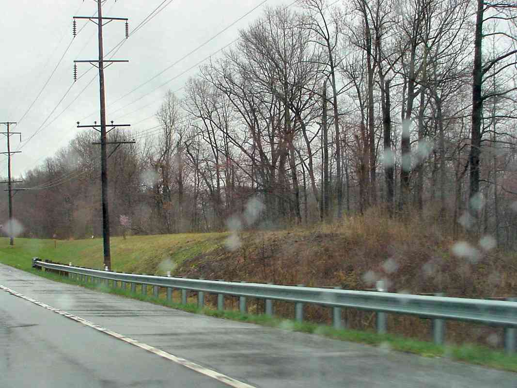
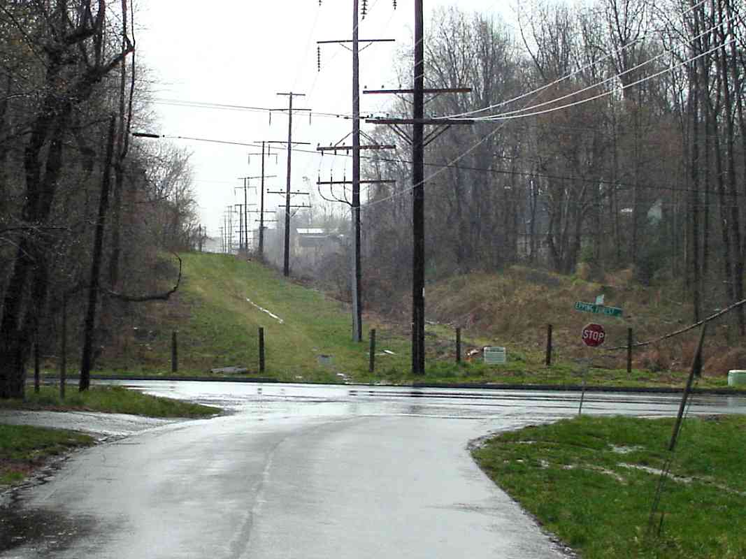
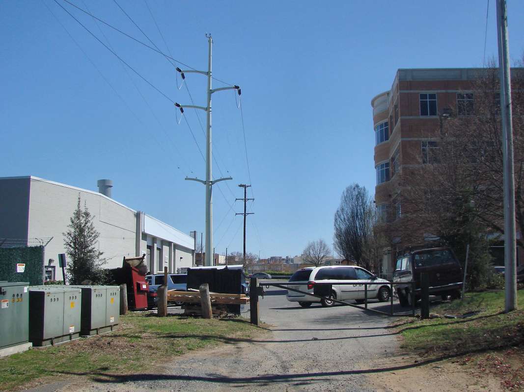
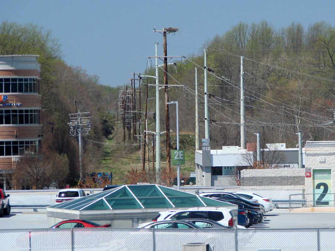
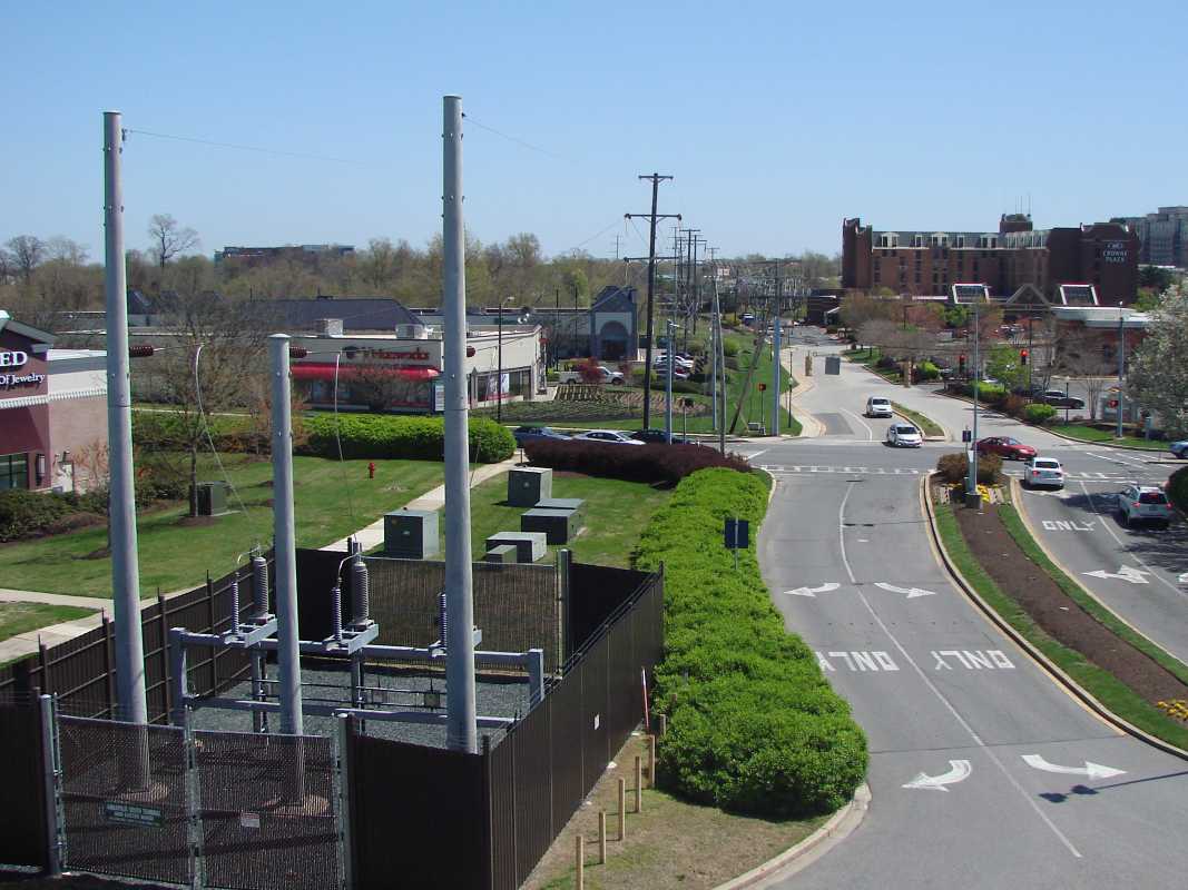
No obvious railroad artifacts survive here, only echoes such as
the electrical substation, the utility poles, the pavement of
Poplar Avenue and Lowes Access Road, and a few scratches in
the dirt.
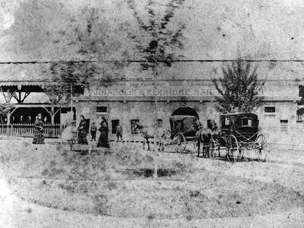
From 1886 to closure in 1904, the Bay Ridge and Annapolis Railroad (BR&A)
carried passengers from here southeast about 5 miles to Bay Ridge,
Maryland, a beach town along the Chesapeake Bay. B&O held
a controlling ownership stake in BR&A. Amos Garrett Boulevard
now occupies some of BR&A's alignment.
|