TrainWeb.org Facebook Page
WM Photo Tour


Western Maryland Railway
Modern day photo tour

Accompanying each photo below are:

Click a photo to see a larger view. Please send your comments and corrections to Steve. Aerial photos courtesy Johns Hopkins University.


<< Previous (east) | THIS PAGE: Walbrook to Cold Spring | Next (west) >>

Walbrook Junction

Walbrook Junction
Mile: 3.8 Date: Mar 2016
Ease: B View: N
Area: D IC2:
Map: Ba 34 E 10 Topographic Maps

The tour resumes at Walbrook Junction where WM's Tide (left) and East Subdivisions meet.

For future reference, note in the distance the blobs of concrete and green color near each other left of the track. Closer than the blobs is a brick WM train orders office.


Train Orders Office

Train Orders Office
Mile: 3.8 Date: Mar 2016
Ease: B View: SE
Area: D- IC2:
Map: Ba 34 E 10 Topographic Maps

This was a WM train orders office. Prior to the 1980s, a dispatcher communicated instructions to staff at a train orders office, who then passed along the directives to train engineers. The system was a holdover from the days of wired telegraphy, before radio permitted dispatchers to talk directly with a train's operator.

Link: history of train orders


Interior

Interior
Mile: 3.8 Date: Mar 2016
Ease: B View: SW
Area: D- IC2:
Map: Ba 34 E 10 Topographic Maps

Perhaps if a new rule required people to trash unoccupied railroad structures, they'd stop doing it.

Most of the switchboards, wires, and equipment have been torn out, but a desktop remains. The office had plenty of windows so staff could see approaching trains.

Windows, desktop, mice, and soda bottles. It's the perfect old coders rest home.


basement

Basement
Mile: 3.8 Date: Mar 2016
Ease: B View: S
Area: F IC2:
Map: Ba 34 E 10 Topographic Maps

The basement contained a refrigerator and lounge, perhaps even a cot for sleep. This photo is a composite of two that look at different angles through the same doorway.


Generator

Generator
Mile: 3.8 Date: Mar 2016
Ease: B View: SW
Area: D- IC2:
Map: Ba 34 E 10 Topographic Maps

A backup generator kept the orders office humming in the event of a power failure. Given the Union Switch and Signal label the generator was probably connected to the nearby signals as well.


Concrete Block Base

Concrete Block Base
Mile: 3.9 Date: Mar 2016
Ease: B- View: SW
Area: D- IC2:
Map: Ba 34 E 10 Topographic Maps

Remember the concrete blob? Here it is up close, the surviving base of a signal or related equipment.

The siding behind is elevated, likely to permit easy offloading of bulk materials such as coal or sand.


Railse

Rails
Mile: 3.9 Date: Mar 2016
Ease: B- View: NW
Area: D- IC2:
Map: Ba 34 E 10 Topographic Maps

The siding is no longer connected but its rails remain. Does anyone recall what type of business it served?

Though this location is a mile west of the Tide Sub's milepost 3, milepost 4 is about 1000 feet farther west, and probably reflects the measurements of the East Sub.


Green Sign

Green Sign
Mile: 3.9 Date: Mar 2016
Ease: B- View: N
Area: D IC2:
Map: Ba 34 E 10 Topographic Maps

There's the concrete base again, and now the green blob is revealed as the reverse side of a speed sign. This used to be double tracked.


Walbrook Station
Photo courtesy WM WestSub

Walbrook Station
Mile: 3.9 Date: ~1920?
Ease: B- View: N
Area: D IC2:
Map: Ba 34 E 10 Topographic Maps

Here's a look during double-track days when WM's Walbrook Station was active. The station was adjacent to North Avenue where passengers could switch to trolleys to take them to downtown Baltimore. WM added this station specifically to reduce the number of passengers who would ride their trains farther into Baltimore, which meant a trip through the B&P Tunnels, for which WM had to pay 10 cents per passenger.

Link: North Avenue trolley bound for Walbrook during 1937


Station Site Later

Station Site Later
Mile: 3.9 Date: Mar 2016
Ease: B- View: N
Area: D IC2:
Map: Ba 34 E 10 Topographic Maps

Roughly the same view about a century later finds much has changed. bridges Due to declining demand, WM demolished the station during 1954. A passenger platform fence, now rusty, remains on the left.

The bridges ahead span North Avenue, and beyond them we finally spy milepost 4.

Link: Baltimore Streetcar Museum


North Avenue

North Avenue
Mile: 4.0 Date: Jan 2016
Ease: A View: W
Area: D+ IC2:
Map: Ba 34 E 10 Topographic Maps

At North Avenue, so named because at the time of construction it marked the northern limit of development of the city of Baltimore, Coppin State University has been expanding. While Walbrook Station existed passengers climbed stairs up to it within the green area on the left, between the student walkway (close) and the train bridge (farther).

Link: 2011


Before

Before
Mile: 4.0 Date: Aug 2010
Ease: A View: E
Area: D+ IC2:
Map: Ba 34 E 10 Topographic Maps

This view looks the reverse direction before Coppin State's expansion began here.


Bolted

Bolted
Mile: 4.4 Date: Jan 2016
Ease: A- View: S
Area: D IC2:
Map: Ba 34 E 9 Topographic Maps

After following the edge of the campus, zooming back finds the signposts at North Avenue. The rail line marks the quiet west edge of school property. Low-angle winter lighting reveals CSX has not deemed the traffic level sufficient to justify upgrading from bolted track to continuously welded.


Campus Corner

Campus Corner
Mile: 4.4 Date: Jan 2016
Ease: B View: N
Area: D+ IC2:
Map: Ba 34 E 8 Topographic Maps

At the northwest corner of the university the quiet stretch ends with another bridge...


Gwynns Falls Parkway

Gwynns Falls Parkway
Mile: 4.4 Date: Jan 2016
Ease: A View: E
Area: D IC2:
Map: Ba 34 E 8 Topographic Maps

Perhaps the grandest of WM's land bridges in Baltimore City is this one spanning the road to the Gwynns Falls. As I can personally attest, during heavy thunderstorms the road here itself turns into a stream. The name Gwynn is derived from Richard Gwin who settled in this area during the 1600s.

Important Baltimore streets with medians like this are found scattered around the city, often remnants of the streetcar era, however this wide boulevard was designed as open space under the oversight of Frederick Law Olmsted.

Link: Olmsted's Parkways


Finding WM

Finding WM
Mile: 4.4 Date: Jan 2016
Ease: B View: NE
Area: D IC2:
Map: Ba 34 E 8 Topographic Maps

I was hoping to find W E S T E R N   M A R Y L A N D spelled out completely on the bridge, and indeed remnants of the letter A appear near the center of the closest span. Skip a panel between letters plus a few in the middle and the full name just fits.


Colors

Colors
Mile: 4.4 Date: Jan 2016
Ease: B- View: SW
Area: D IC2:
Map: Ba 34 E 8 Topographic Maps

The other side has been repainted more colorfully. Everything blue would have been more appropriate since this was the coldest day of January with wind chills way below zero.


Liberty Heights Avenue

Liberty Heights Avenue
Mile: 4.8 Date: Jan 2016
Ease: A- View: N
Area: C- IC2:
Map: Ba 34 E 7 Topographic Maps

Less than a half-mile later, the railroad transitions from running over streets to running under them. During the 1800s WM had met what was then known as Old Liberty Road at grade.


Milepost 5

Milepost 5
Mile: 4.9 Date: Jan 2016
Ease: A View: N
Area: C- IC2:
Map: Ba 34 E 7 Topographic Maps

The Liberty Heights bridge is a good spot from which to view a passing freight but few were running here at photo time. We'll check out that siding in a moment.


Rusty Box

Rusty Box
Mile: 5.0 Date: Apr 2016
Ease: B- View: E
Area: C- IC2:
Map: Ba 34 E 7 Topographic Maps

At milepost 5 this appears to be a leftover WM telephone callbox that train crews used during pre-radio days.


Subway Connection

Subway Connection
Mile: 5.0 Date: Apr 2016
Ease: B- View: NE
Area: C- IC2:
Map: Ba 34 E 7 Topographic Maps

The "siding" is the Baltimore Metro Subway's (only?) connection with the outside rail network. switcher

New subway cars are delivered via this track, with help from a MOW switcher of course.

Don't expect to snap good unobstructed fence-free photos here. Given the electrified third rail, understandably the yard is sturdily fenced while security cameras watch.


Subway Rising

Subway Rising
Mile: 5.2 Date: Jan 2016
Ease: A- View: W
Area: C- IC2:
Map: Ba 34 E 6 Topographic Maps

No, that's not a train sinking into quicksand. Here the subway transitions from underground to ground to elevated operation. subway

Previously a different kind of ride had graced this area: an amusement park roller coaster. An attraction of the first amusement parks was their use of the newfangled invention called electricity. These photos were snapped at the end of Carlin's Park Drive where during the mid 20th Century a pedestrian walkway into the back of that park had extended over the WM tracks.


Carlin's Amusement Park

Carlin's Amusement Park
Mile: 5.2 Date: 1953
Ease: View: N (up)
Area: IC2:
Map: Ba 34 E 6 Topographic Maps

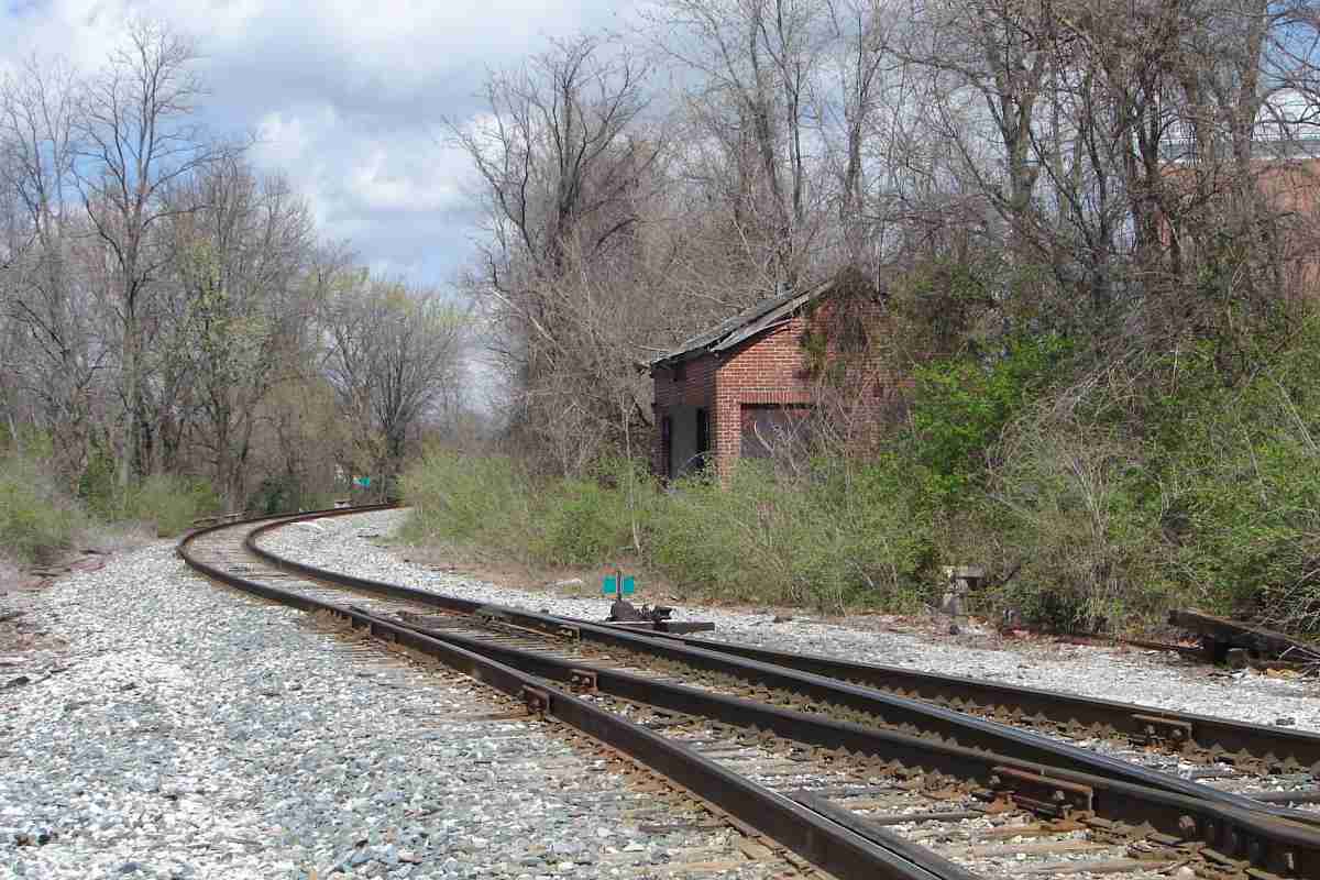
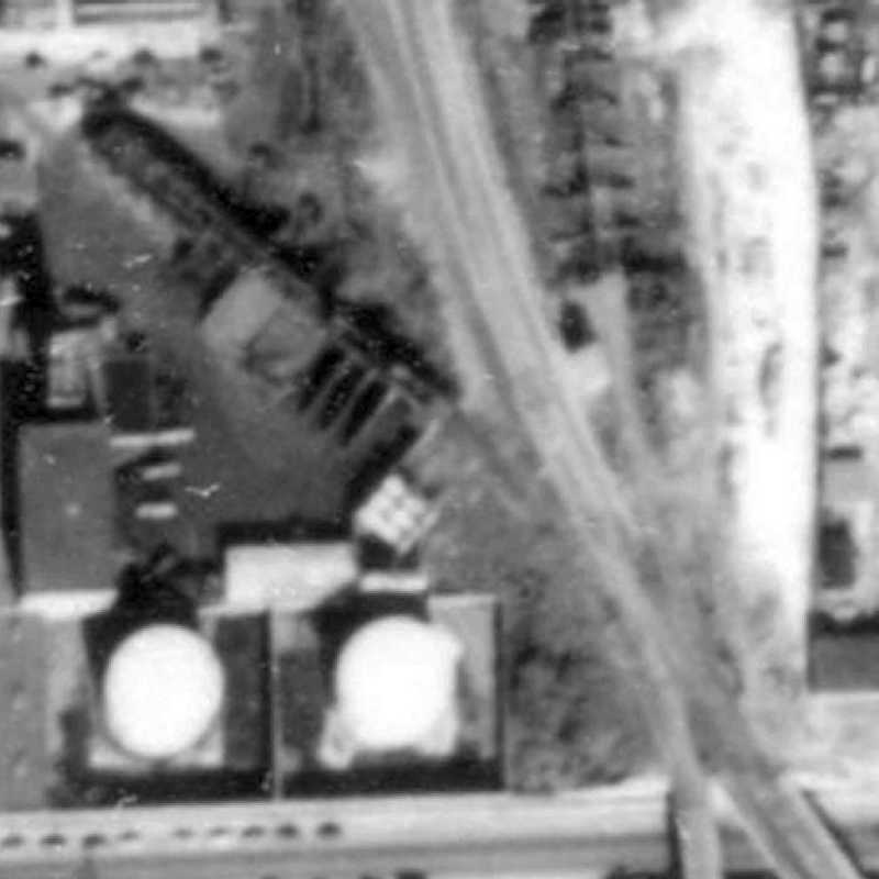
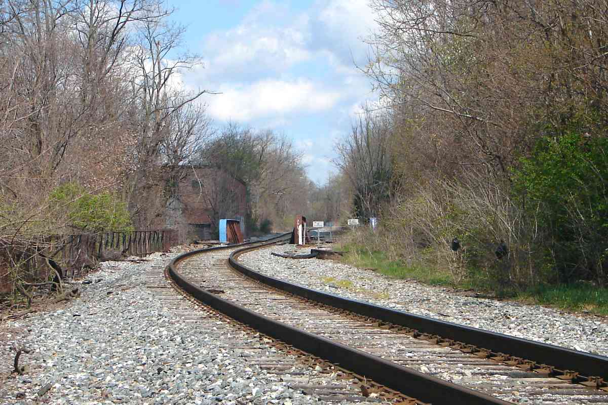
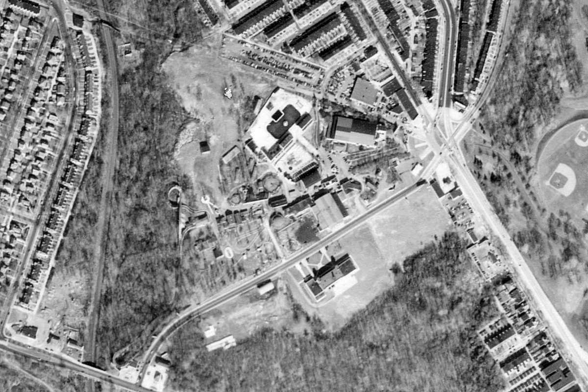
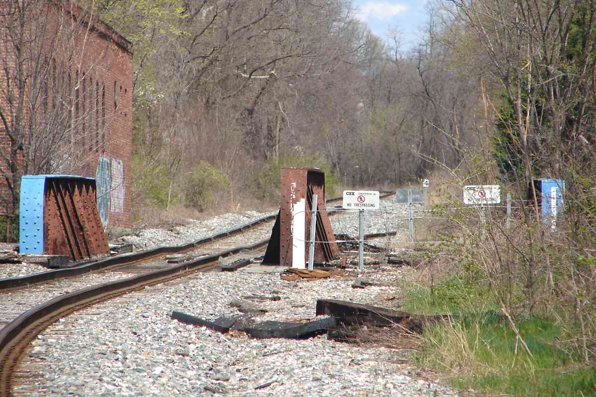
Metro's yard now occupies the western portion of the site of Carlin's Amusement Park that had opened during the early 20th century. That's WM running bottom to top along the left edge of the aerial photo. At Liberty Heights Avenue (bottom left) the roller coaster made a 180-degree turn.

east at Park Circle 2010 
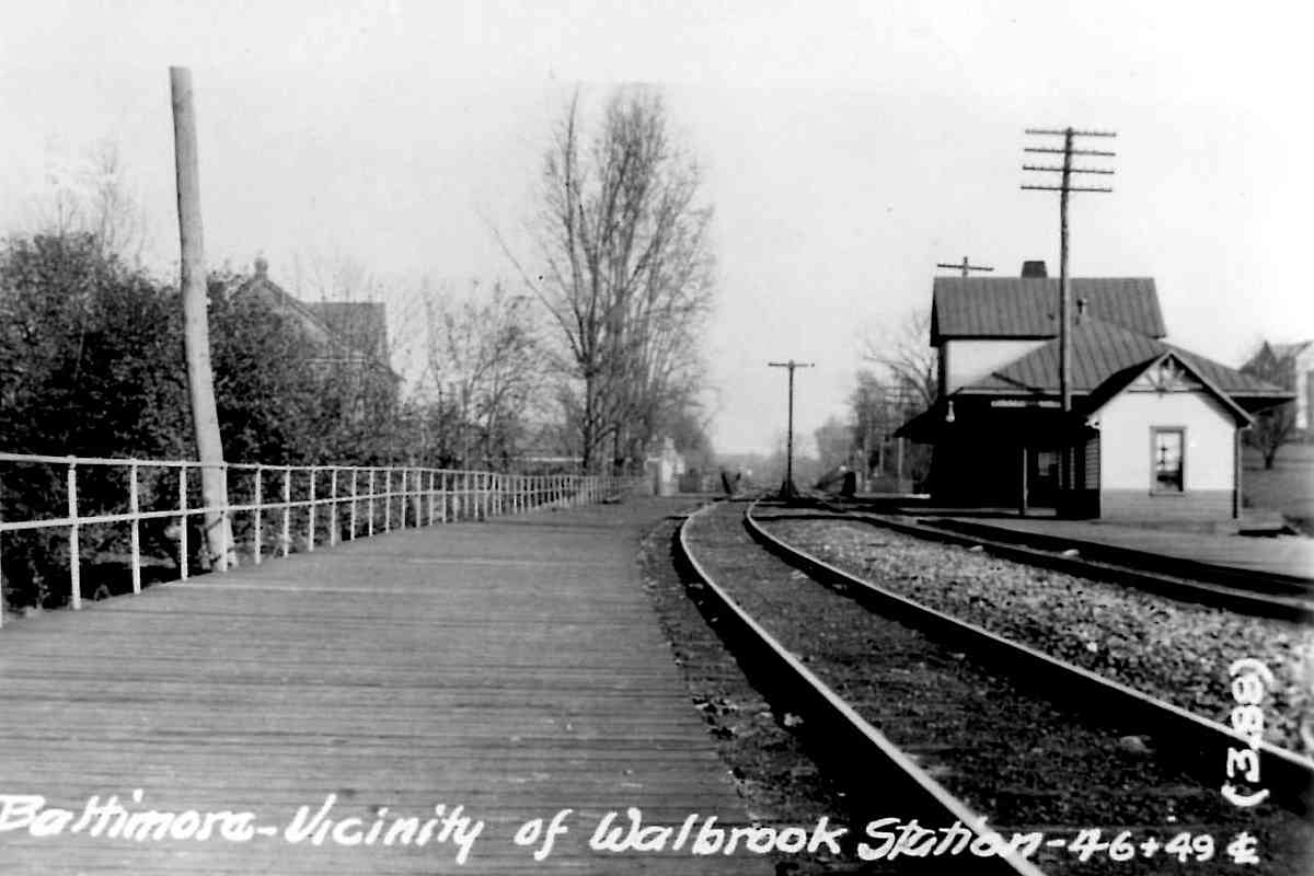
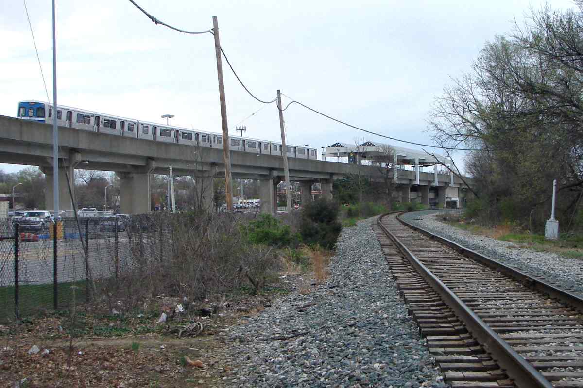
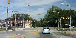
Several roads met at Park Circle (upper right), the park's main entrance. Park Circle began as a traffic circle adjacent Druid Hill Park (or, in Bawlamerese, "Droodle Park") but now is a large expanse of blacktop. At photo upper left 
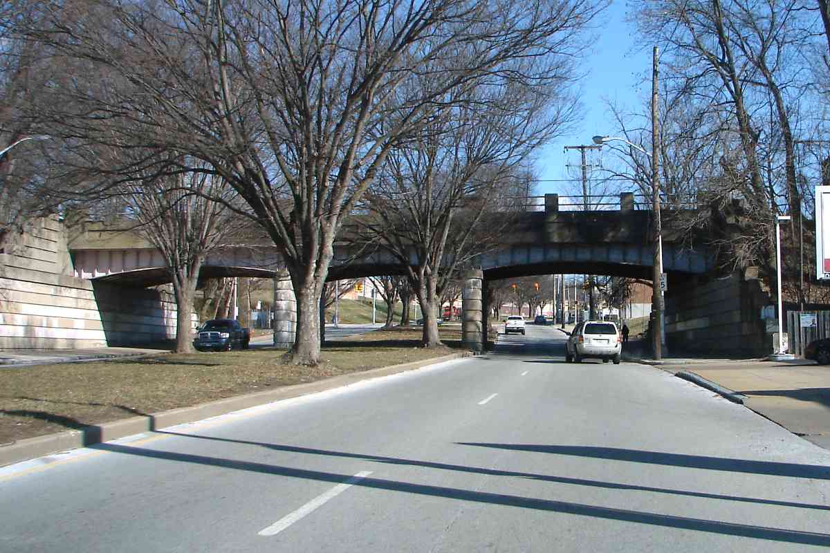
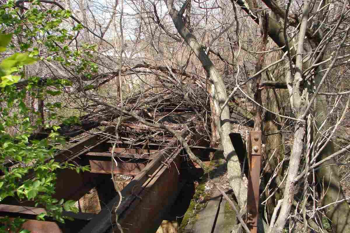
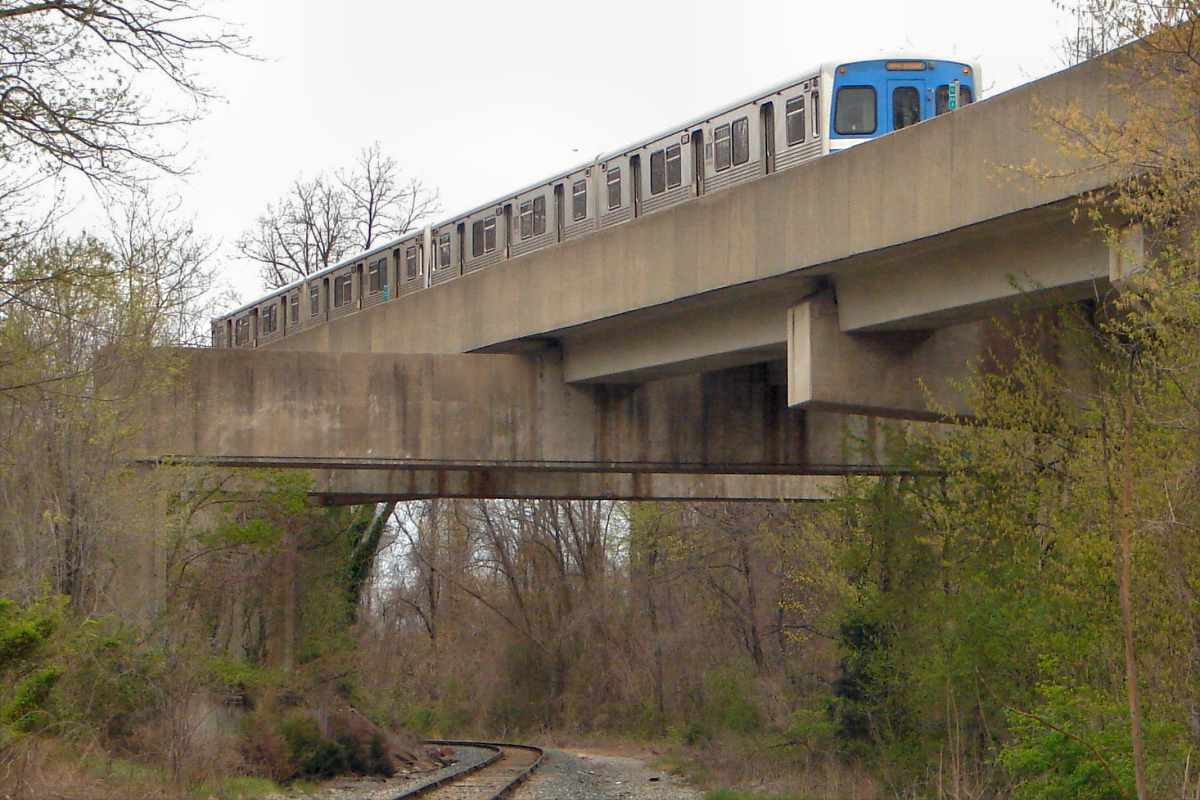
you'll find the previously-mentioned pedestrian walkway over the tracks. It does not appear WM passenger trains stopped here.

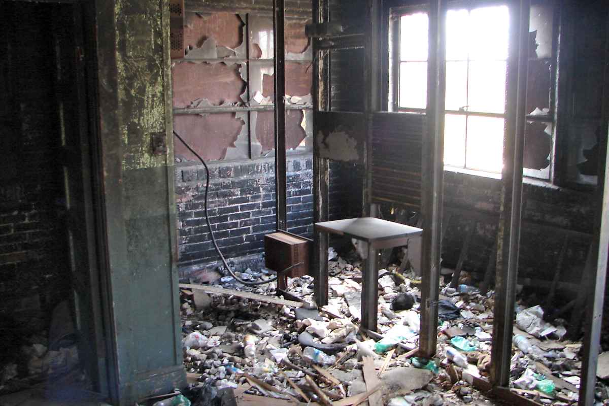
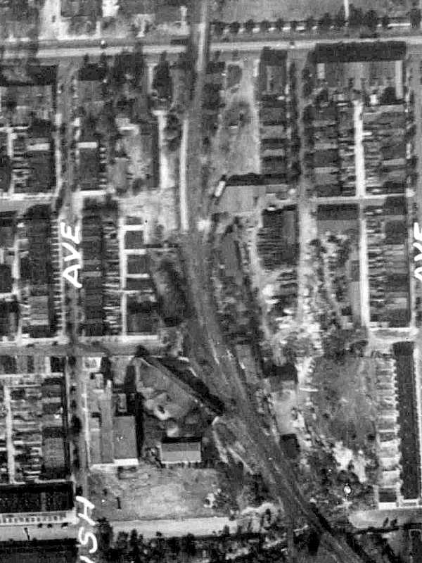
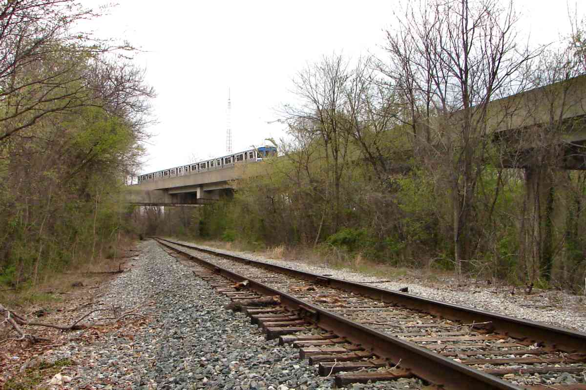
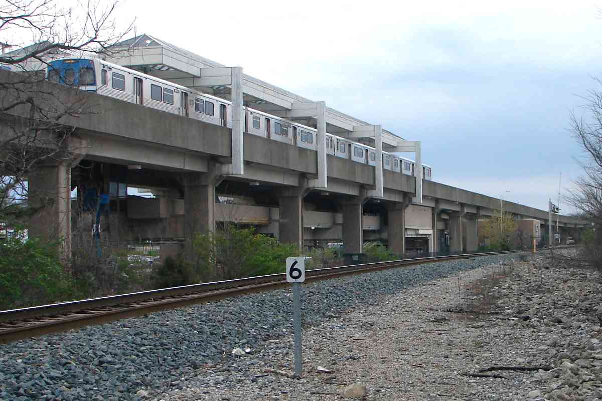
After fire destroyed its skating rink, in 1958 Carlin's morphed itself into a drive in theater, the only one within Baltimore City. It survived until 1977 
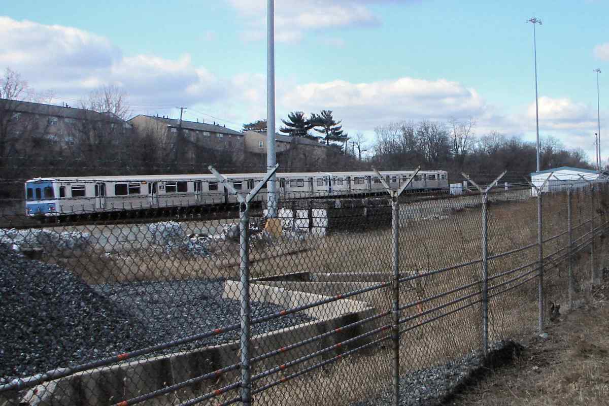
followed soon thereafter by Metro construction and then operation that began during 1983. Other parts of the park now see industrial use. Anyone have some Carlin's memories to share here?

Links: Baltimore amusement parks (scroll down), roller coaster pic, drive-in theater, Cinema Treasures entry, Bawlamarese Lexicon


Crossing

Crossing
Mile: 5.3 Date: Apr 2016
Ease: B View: N
Area: D IC2:
Map: Ba 34 E 6 Topographic Maps

subway This is the only place within the city at which Baltimore's Metro and the ex-WM line cross. After this the Metro will remain on the southwest side of its inspiration, parallel for miles until outside the city limits. Baltimore's single subway line runs from Owings Mills to Johns Hopkins Hospital. Part of Metro's yard is over on the right, already obscured by spring foliage.


Yard Limit

Yard Limit
Mile: 5.4 Date: Apr 2016
Ease: B View: S
Area: D IC2:
Map: Ba 34 E 6 Topographic Maps

The third-rail left of the track reveals this is a subway yard. There is no bumper post (the spindly tree doesn't count -- yet) so cars roll off the track end from time to time, as suggested by the repaired fencing through which this photo was snapped.


West Cold Spring Station

West Cold Spring Station
Mile: 5.8 Date: Apr 2016
Ease: B+ View: NW
Area: F IC2:
Map: Ba 34 D 5 Topographic Maps

The Baltimore Metro's first elevated station, that at Cold Spring Lane, Towanda Avenue is an overhead spot from which to see WM.

This area, south of Pimlico Race Course and east of the railroad, has deteriorated during recent decades. This is one of the spots at which I heard gunshots (or fireworks) while exploring. The percentage of collapsing and boarded-up homes is high.

Links: Baltimore Seeks Gunshot Detection System, A Complicated Relationship With the Preakness


Signal Box

Signal Box
Mile: 5.9 Date: Apr 2016
Ease: B+ View: N
Area: F IC2:
Map: Ba 34 D 5 Topographic Maps

Someone not long ago repainted this old WM signal box complete with pole. pole top Only a few of these remain extant.

Wires would loop down from the pole's covered top, then to the signal held by the bolts shown at right. This signal, like other ex-WM signals on the line, may have operated into the 2000s. The adjacent, now-disintegrating concrete box previously held battery backup power.

In the weeds lurk rails of a disused siding that may have served the aggregates facility behind.


Milepost 6

Milepost 6
Mile: 6.0 Date: Apr 2016
Ease: B+ View: NW
Area: F IC2:
Map: Ba 34 D 5 Topographic Maps

Subway trains greatly outnumber CSX freights at milepost 6. These Budd Corporation-built cars are identical to ones in Miami, Florida.

The Cold Spring Lane grade crossing, just beyond the bend, is where this tour picks up on the next page.

Link: railfanning the Metro


<< Previous (east) | THIS PAGE: Walbrook to Cold Spring | Next (west) >>

Or, return to main page for other tours

Copyright Notice