|
The Baltimore & Susquehanna's hopes of reaching Gettysburg, Pennsylvania
faded as it changed focus to other locations. Before merging into the
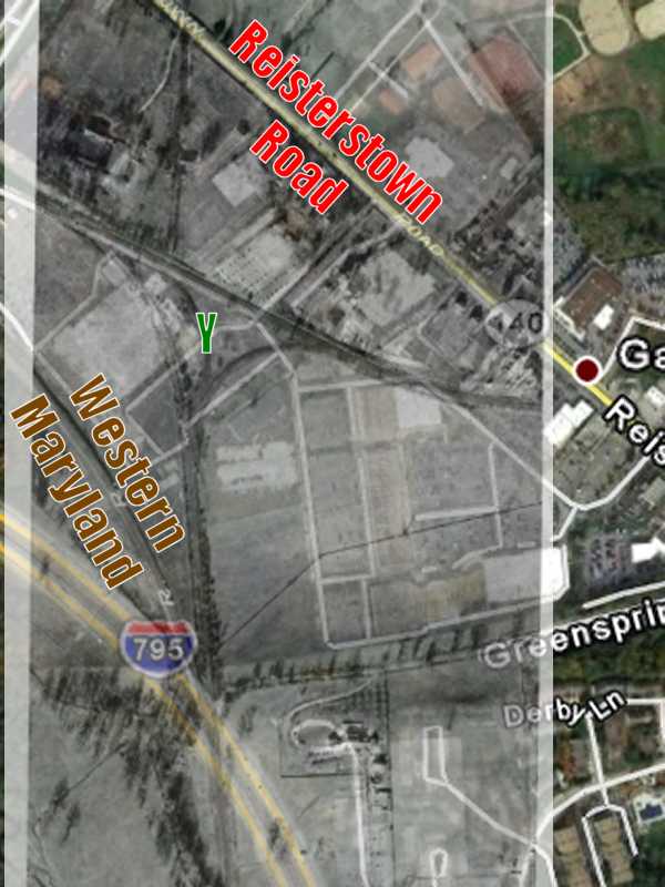
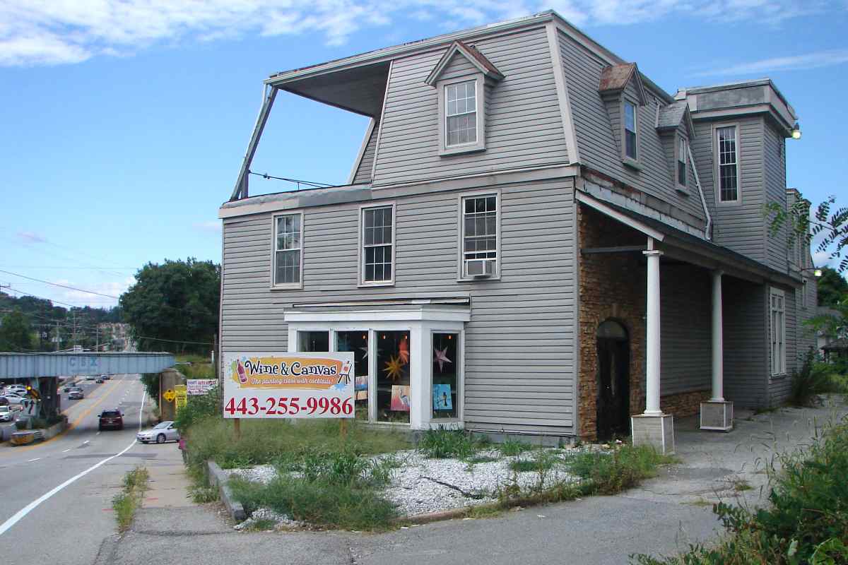
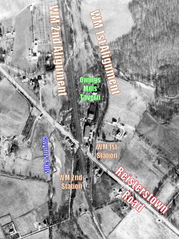
Northern Central Railroad, B&S in 1857 sold to the fledgling Western
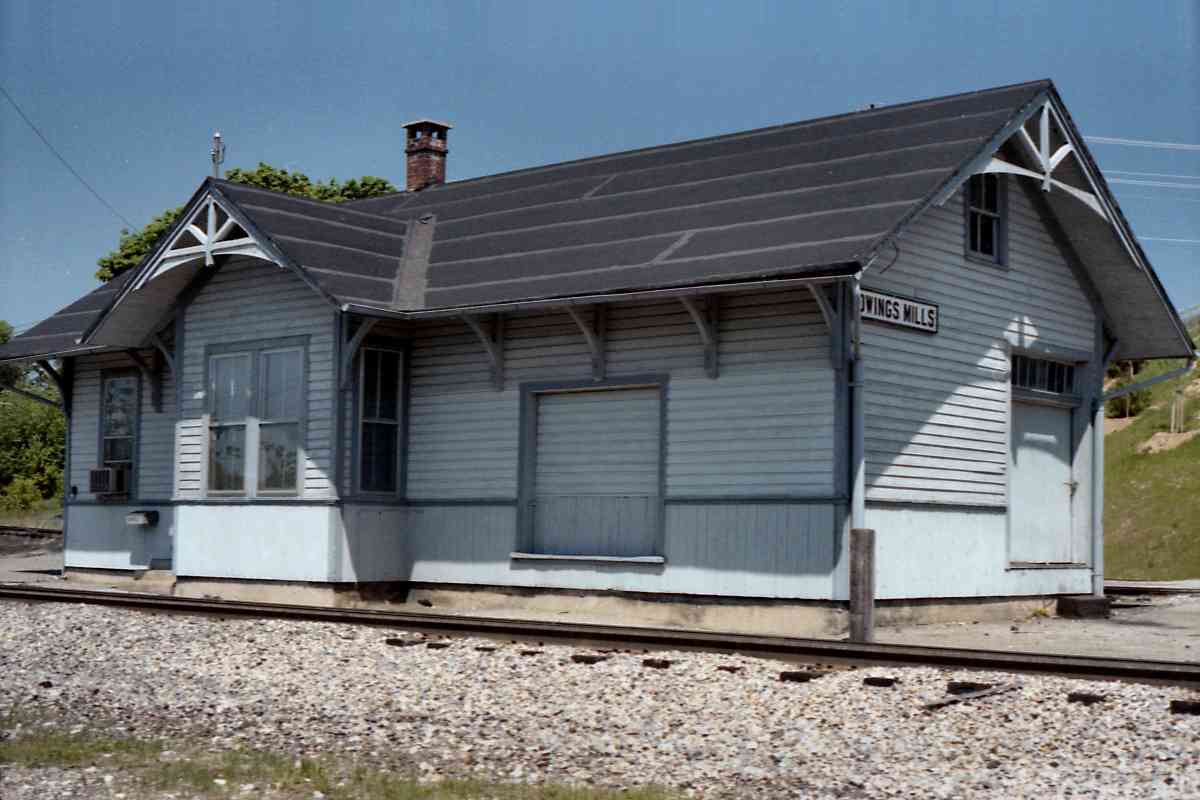
Maryland the stretch from Green Spring Junction to its terminal at Owings
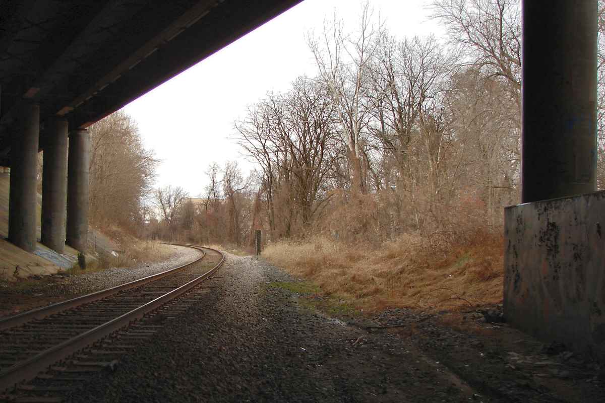
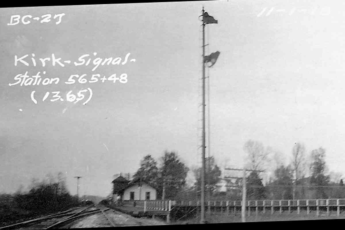
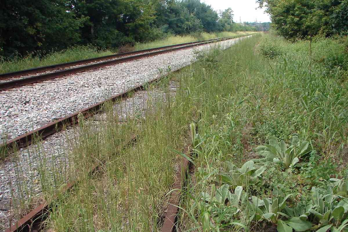
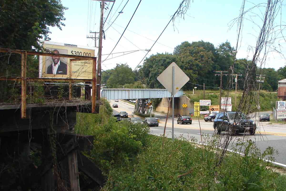
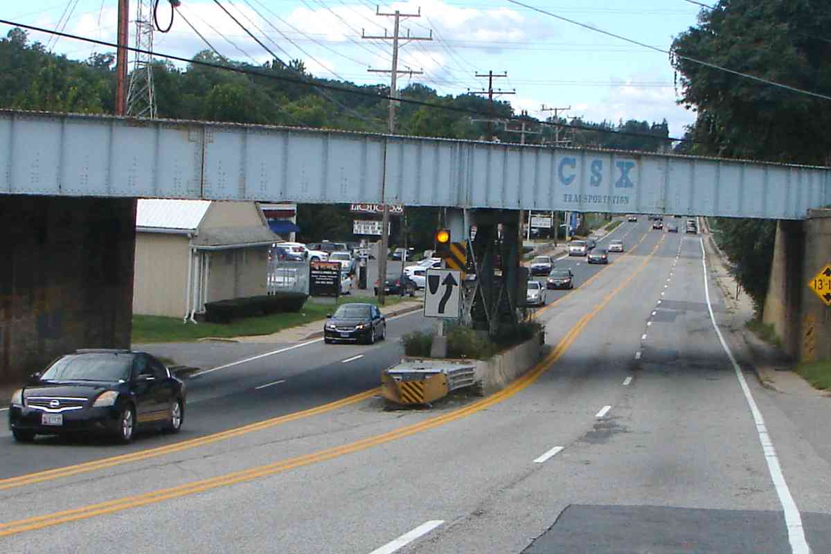
Mills Tavern. This view looks along that route and across Reisterstown
Road. The tavern was a distance beyond the large building at photo left.
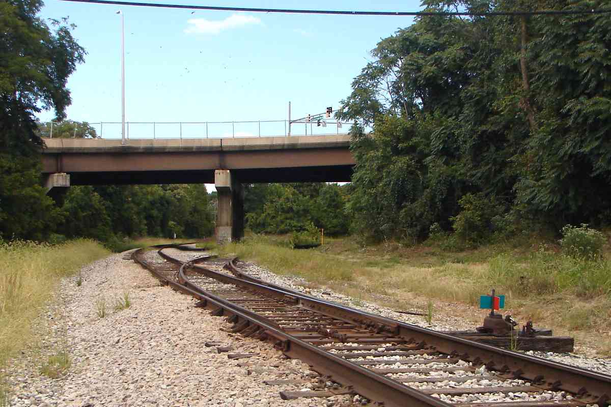
Next, WM borrowed NC's Green Spring Branch, then later built its
own route from Green Spring Junction into Baltimore, which is the route
this tour has been following.
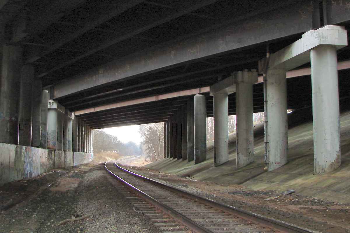
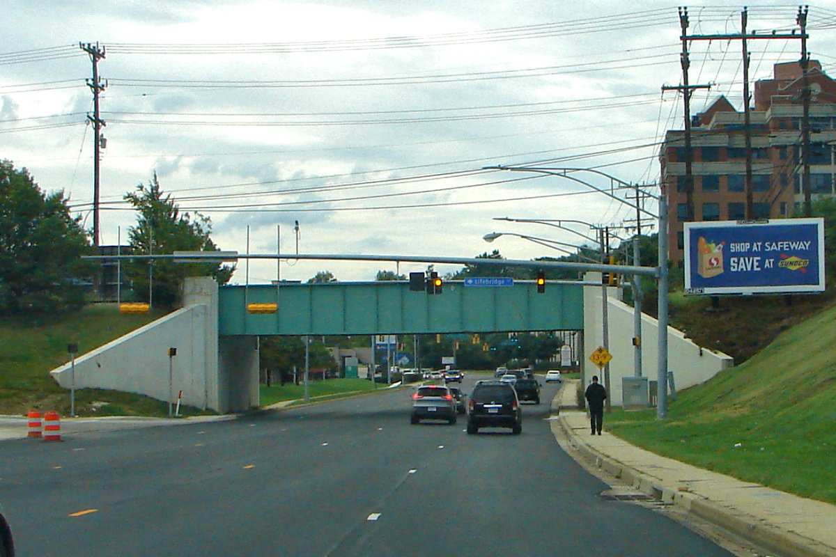
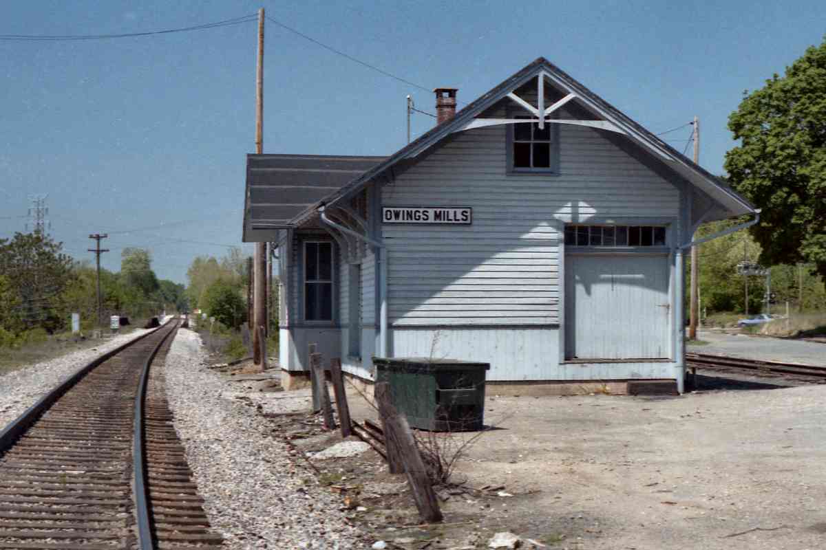
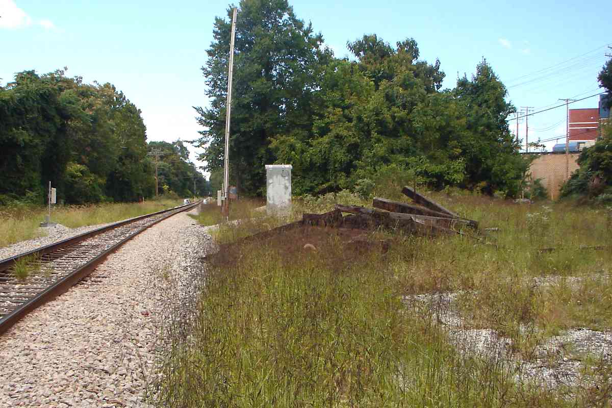
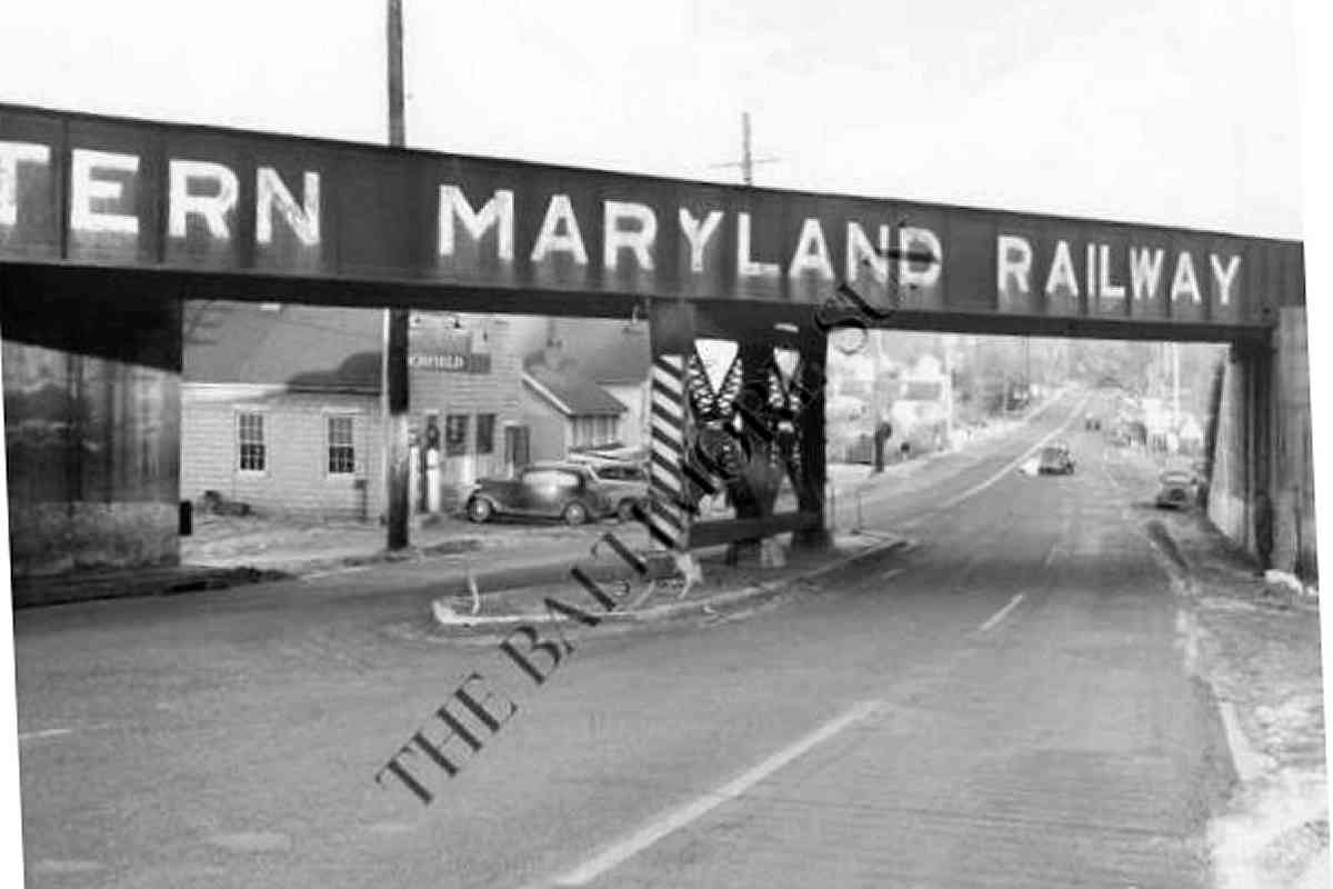
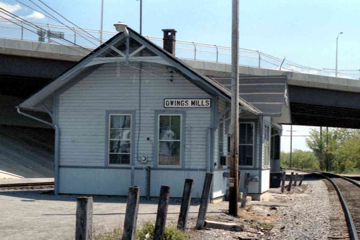
 Reisterstown Road was quiet enough during the 19th century that a grade
crossing sufficed. Grade separation via a parallel alignment would
wait until 1906, at which time this original route was relegated to
infrequent freight service that continued into the 1970s.
Reisterstown Road was quiet enough during the 19th century that a grade
crossing sufficed. Grade separation via a parallel alignment would
wait until 1906, at which time this original route was relegated to
infrequent freight service that continued into the 1970s.
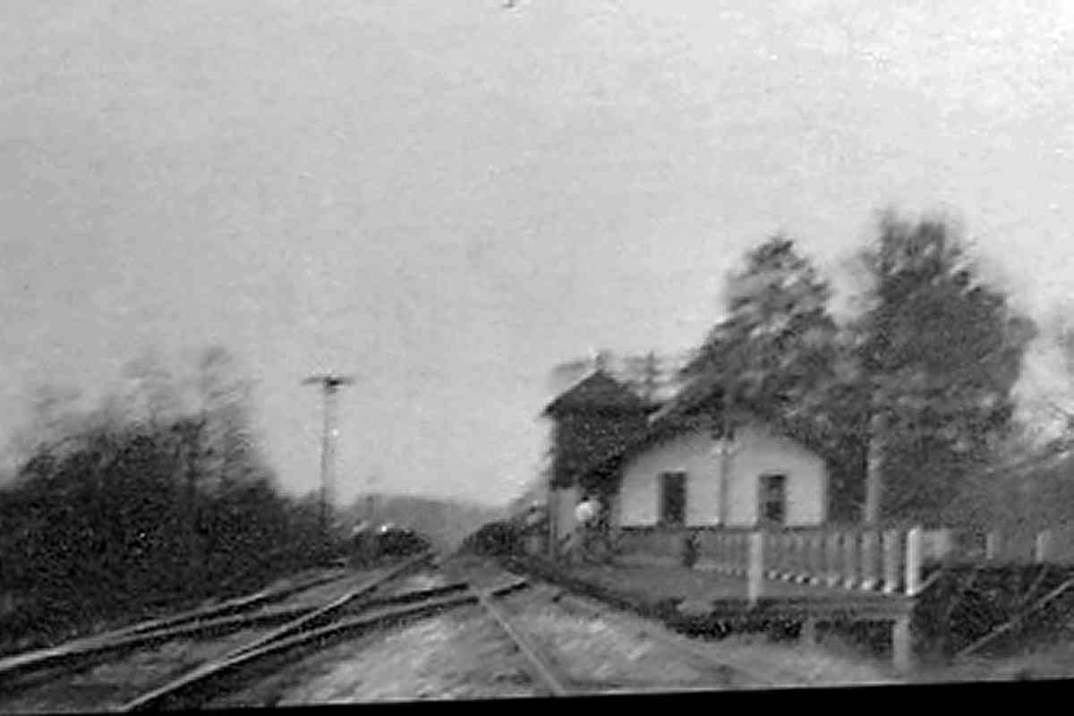
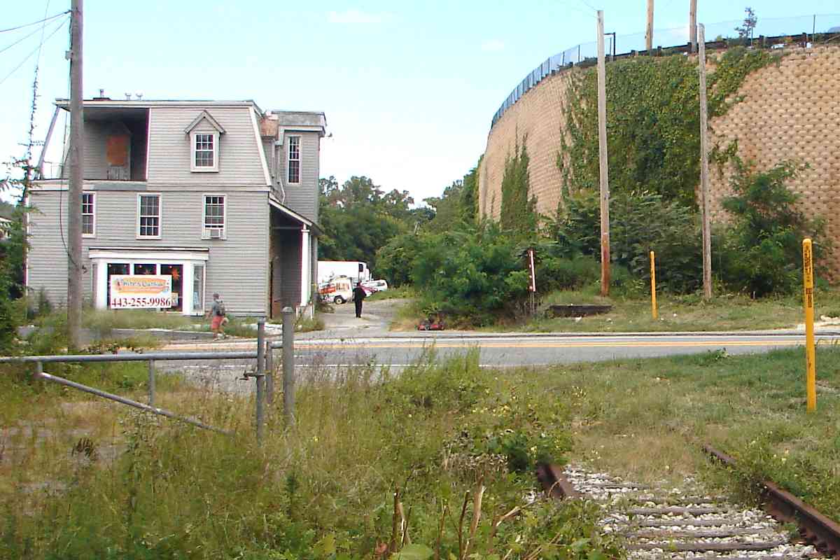
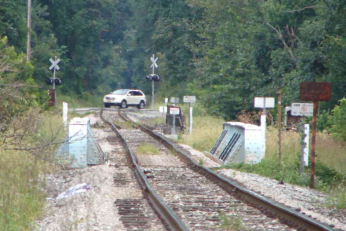
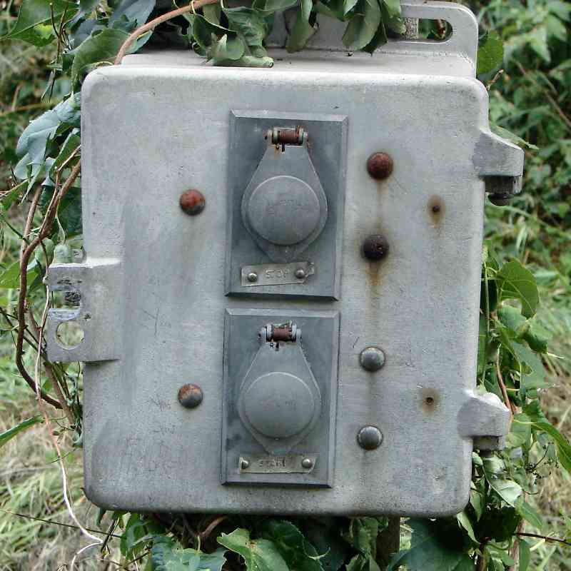
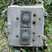
When a train needed to cross Reisterstown Road (MD 140), it could lower
and raise warning gates via a trackside control panel that still exists, as
seen at right. The buttons are labeled Stop and Start.
Link:
early B&S history
|