By Richard Elgenson, Survey
Instrumentman, County of Orange
Geomatics/John Wayne Airport
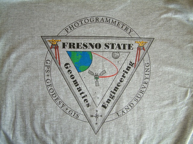
I was fortunate to attend the Geomatics Engineering Conference in
Fresno on January 27, 2005. The drive from Orange County to
Fresno took place on a mid winter day. I plotted out my trip via
Yahoo Maps which told me to take Interstate 5. While in the
vicinity of the Grapevine, I decided that California Route 99 was my
choice and at Bakersfield, merged onto 99 North to Fresno. Part
of the allure of 99 is the proximity to the railroad which used to be
known as the Southern Pacific. A number of years after the merger
into Union Pacific, I spotted an intact, non patched, Southern Pacific
locomotive. I did spot one Burlington Northern Santa Fe train on
the UP just above Bakersfield. Ariving in Fresno in mid
afternoon, the hotel was easily located with the conference hotel
nearby.
The early bird talk at the conference centered around "To Find a
Corner." We only caught the last hour and the speaker utilized a
notes sheet with many court decisions.
The Northern Calfiornia Section of ACSM held an annual
dinner with a speaker from the California State Railroad Museum.. He
showed a few slides of the museum and spoke mainly about implements
used to construct the railroad such as 22 cubic foot capacity
carts. The transcontinental railroad over the Sierra Nevada
Mountains was expensive to build and very hard to maintain.
Drilling tunnels through Sierra Nevada granite yielded some 7 to 9
inches per day. Some
examples of improvement work on the railroad included filling earth
around trestle bridges. Keeping the railroad open over Donner
Pass was done by the use of snowsheds which occasionally caught
fire. The railroad had a fire spotting tower overlooking many
miles of snowsheds. With the advent of better snow clearing
maintenance of way equipment, notably spreaders and rotary snow plows,
and the Sierra views from Reno to Sacramento being marketable to
tourists and immigrants, most of the sheds were removed. Up on
Donner Pass one railroad removed a second track from service with the
right of way still intact. I have been to the California Railroad
Mmuseum and it would be nice to have a surveying conference
there. After the speaker was over, I drove around Fresno
for a few minutes to get my bearings. I found Blackstone, the
main north south thoroughfare. Olive, an east west street, had a
very nice "Tower Theater" with name bands on the marquee. The
city has a nice downtown area in the vicinity of the Amtrak
Station. City Hall is across the street in a very modern
structure. A rainstorm was approaching Fresno and hit just as I
returned to the hotel.
The conference was held at the
Radisson Hoteland Conference Center on Ventura Street next to an
exposition arena.
This hotel has an atrium type of arrangement, which was good on this
rainy weekend.
Arriving after the Saturday morning welcome speech, Tony Grissim, Major
Account Manager for
Leica Geosystems HDS, spoke about the future of surveying with the
arrival of the scanner. His talking points included terrestrial
IGAR, the market and the workload. Scanners have been on
market for a while. Leica bought Cyrax IMaging, and how
offers the rebranded Cyrax 2500 in addition to two new scanners, the
HDS 3000, and HDS 4000. The HDS 300 machine was demonstrated last
fall
at John Wayne Aiport for the County of Orange. It is impressive
and powerful. It captures millions of data points in a day
compared to under one thousand via traditional survey methods.
The scanner comes equiped with a digital camera and can also do its own
control work to bridge setups. More detailed scans are done where
your control is located. The 3 dimensional aspect of the mass
quantity of points is stunning. You better have lots of hard
drive space and battery for your laptop when collecting. Tony
gave some examples of scale of economy for firms employing the
HDS. Some companies have had over 50 jobs done with HDS.
One memorable job done by HDS involved collecting buildings at a
university. To employ this instrument, you still must do
preplanning, site visitation, site control, and sometimes use
traditional surveying to add information. Options to HDS include
WiFi. HDS can give intense detail of objects like
bolts. Tony spoke of deliverables from HDS. Filters are
available editing out noise like automobiles from a street being
mapped. While HDS is usable at night from your HDS outfitted
vehicle, the weather still can be a limiting factor.
The morning keynote speaker was Don Liddle, a photogrammistrist at the
NASA Johnson Space Center. His work supports manned space flight
activities. This presentation dealt with the final flight of
space shuttle Columbia in February 2003. He spoke of the need for
foam to surround portions of a space vehicle from certain elements
before and at takeoff. Interestingly, out of 70 camera views at
Cape Canaveral, one potentially useful
camera had been out of service at the time of Columbia's last
launch. Data which was available, showed something striking one
wing of Columbia. They thought it hit on the underside of the
wing. They were able to take different images and cancel out data
to "see" impact against the shuttle. NASA knew that there was
some problem, and after many
days of intense scrutiny, the decision was made to reenter Columbia
with catastrophic results. Many photographers and amateur
astronomers capture darkness reentries of space vehicles.
Columbia images from its last reentry are striking in that Mr. Liddles
work time lined amateur video and still photographs. At the end
of the presentation, we viewed animation of images from various
locations of Columbia's descent and disintegration over the Western
United States. Luckily, none of the debris landed in any
metropolitan areas of Texas. As much as I love those trains, this
was one of the most captivating presentations of the conference.
Next on the agenda was a half hour break for socializing and checking
out the
equipment
exhibits in an adjacent room. The rest of the morning session
was broken up into 2 different rooms with 3 presentations each. I
hit part of Transferring Units and was particularly interested in
Copper Mining Surveys with Dave Mulenga, a CSU Fresno Geomatics
graduate student and verteran Zambian mining surveyor. Central
Aftica has a multinational area of copper deposition. While in
charge of engineering, surface, and underground survey services, Mr.
Mulenga interacted with geologists, mettalurgists, and government mine
inspectors. He showed us many plots and mine interior
shots. He stressed the importance of monitoring ground movements
on the surface above the mine. He discussed moving surveys
forward in the absence of the sky. A mining survey operation
employs theodolites, tacheometer, gyroscope, steel and linen tapes,
levels, and clino rulers and clinometer. Challenges are present
and pose danger to surveyors from working in confined spaces, exposure
to heat and noise (try working at a commercial airport!), extremely
wet/humid underground conditions, working in ventilation tunnels and my
favorite, climbing chain ladders. Mr. Malenga's group was fairly
meticulous in their surveys and reduction of data. Imagine
building surveying for underground pump chambers, crushers, and
electrical substations. Some of these rooms would be large in
size. Above ground work would include measurement of waste rock
dumps, copper concentrates, copper ore piles, and waste dams. Mr.
Mulenga touched on surface subsidence monitoring, including caving
lines, and subsidence level lines. Canals overlying mining areas
are of concern as well as inspection of dam walls.