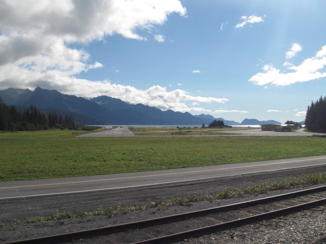
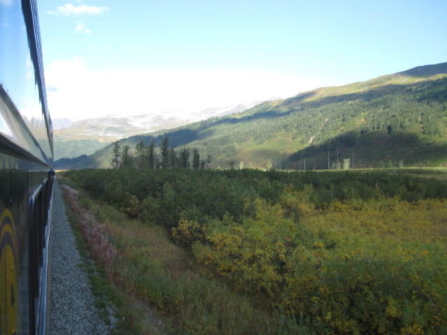
Just 114.3 miles to go today one way.
MP 103.5 Rabbit Creek. The railroad
bridges Rabbit Creek while passing through Potter Marsh, created
when railroad grade construction dammed several creeks. Today,
Potter Marsh is part of the Anchorage Coastal Wildlife Refuge and
is a favorite location to spot arctic tern, Canada geese,
trumpeter swans and many other species of birds. You can also
watch for moose which typically graze through out the area. By the
way, the average moose eats about 50 pounds of fresh branches and
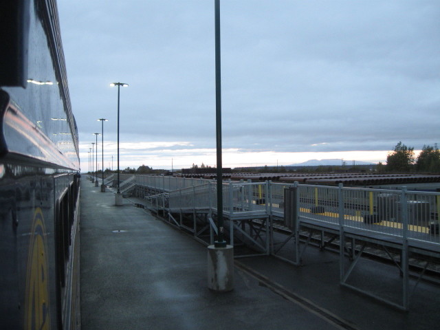
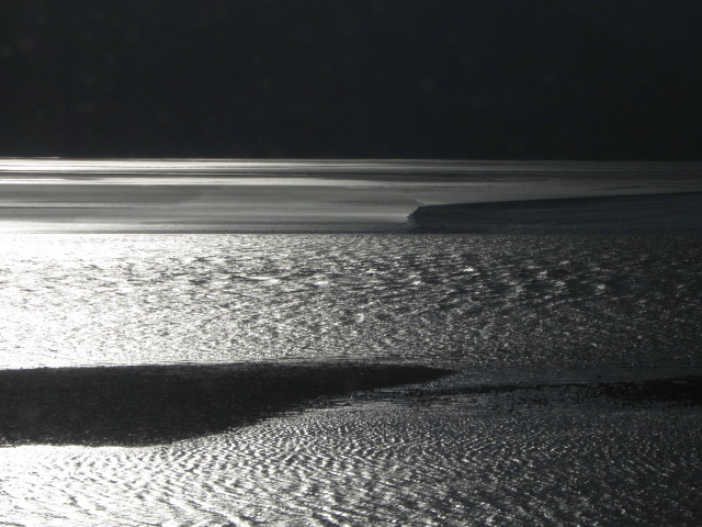
twigs daily. To the west we can now clearly see the Turnagain Arm
of Cook Inlet. We will be traveling alongside the water until
about Portage.
MP 100.6 Potter. The historic Potter section house
(named for nearby Potter Creek) and Potter Marsh Wildlife Viewing
Area mark the junction of Cook Inlet and Turnagain Arm.
Viewing spot for the bore tide, a huge wall of water rushing into
or out of the arm during tide changes. Turnagain arm is one of
only about 60 bodies of water worldwide to exhibit a tidal bore.
The bore may be more than six feet high and travel at 15 miles an
hour on high spring tides. Turnagain Arm sees the largest tidal
range in the Unites States, with a mean of 30 feet, and the fourth
highest in the world.
GPS: 61' 03.106, -149 47.813
Click
to see map.
Click Back button on your browser to return
to this page.
MP 95.5 Beluga Point. Beluga Point is named after the
Beluga whales that are often seen in Turnagain Arm near here.
Beluga whales are unique in that they are the only all-white
whales. Additionally, due to the food sources here, the Cook Inlet
Beluga whale is a genetically distinct and geographically isolated
stock.
The engineer stopped the train here so we could spend some time
looking for the whales. He has seen some activity in the water.
All the engineers were great about pointing out and giving us
warning about whats up ahead. Soon we were spotting the white
spots in the distance. The whale show for less than a flash and
there is a lot of water out there. It was fun to spot them for a
quick second.
Soon we were moving again and then near MP 93
we could see the Dall Sheep on the cliffs above the railroad and
highway. You had to look quick to find and see them. I had
flashback to cartoons of sheep on mountain trails and ledges and
how similar the pictures looked.
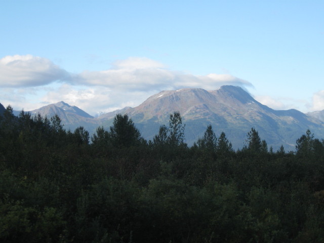
MP 74.5 Girdwood. Girdwood is the site of Alaska's finest
ski resort, with the related condominiums, chalets, hotel and
restaurants, all located at the base of Mount Alyeska.
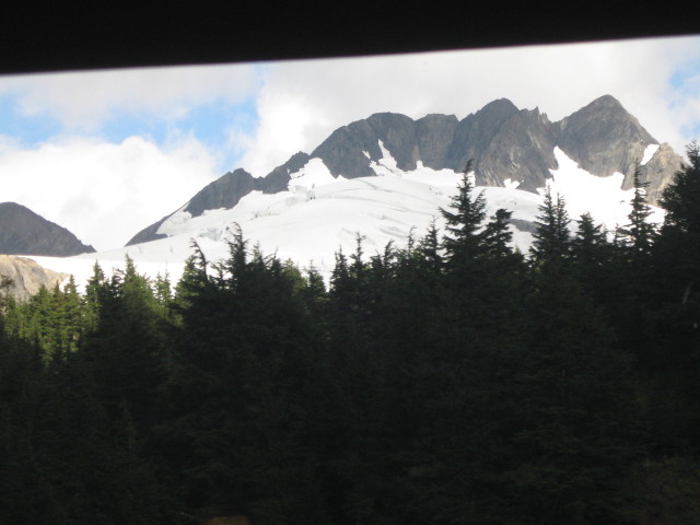
Originally called Glacier City for the icy behemoths which rim the
surrounding mountains, and was founded as a gold mining town a the
turn of the century with several gold claims being staked on Crow
Creek and the Virgin and California Creek. Tragedy struck on Good
Friday in 1964, an earthquake with a magnitude of 9.2 dropped the
coastal edges along the Turnagain 8 to 10 feet.
Consequently, the town site of Girdwood moved 2 1/2 miles up the
valley to the present location.
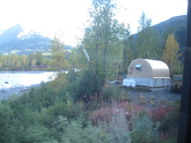
MP 64.2 Portage. Portage got its name by being on the
portage route from the Gulf of Alaska to Cook Inlet. Today you
will see a few collapsed buildings and lots of dead trees.
Devastated by the 1964 earthquake, the old town of Portage is all
but gone. Dead trees stand in silent testimony to the power
of the quake ( the second largest recorded in the world) which
flooded the town and dropped the surrounding land 10 to 12 feet.
At one time, Portage was a motor vehicle
loading area for the Alaska Railroad that carried passengers and
vehicles to Whittier for connections to the Alaska Marine Highway.
This procedure ended when the Whittier tunnel was rebuilt for both
rail and highway traffic.
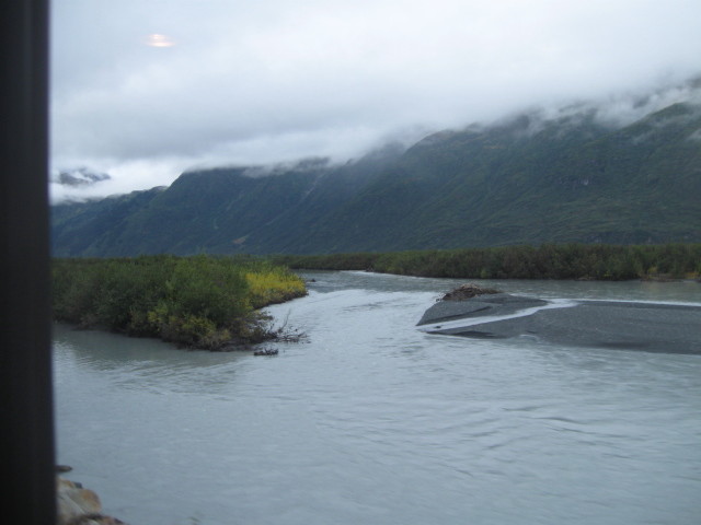
MP 63.0 Portage River. This bridge is made
up of five I-beam spans. Technically we now exit Anchorage, which
is the the size of Delaware. Also the geography here is in stark
contrast to what we saw up in northern Alaska heartland around and
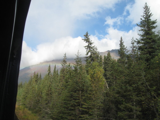
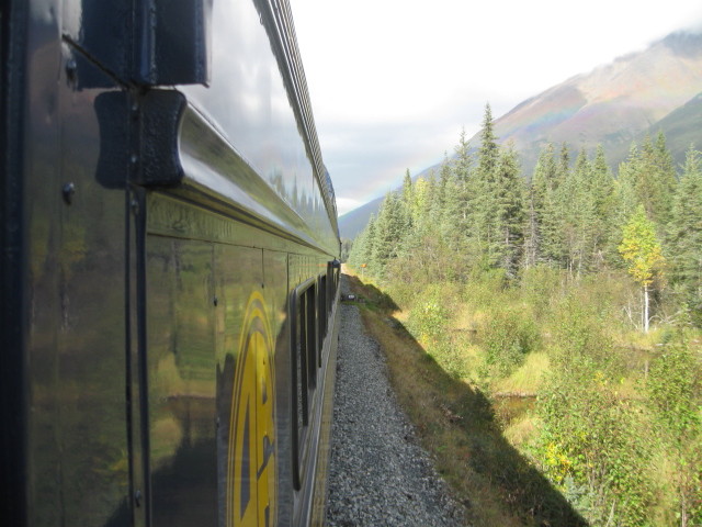
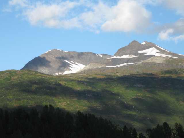
near the Fairbanks area. Now we are in an area of ice-fields,
glaciers, fjords and mountains.
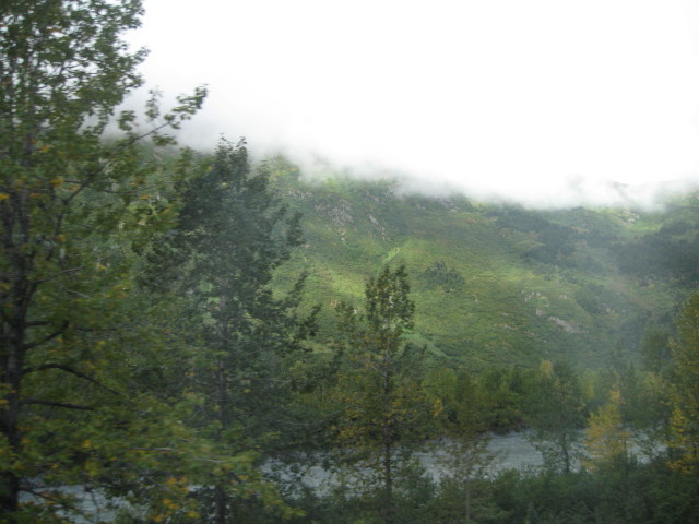
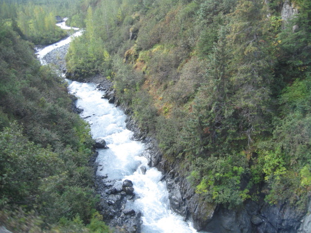
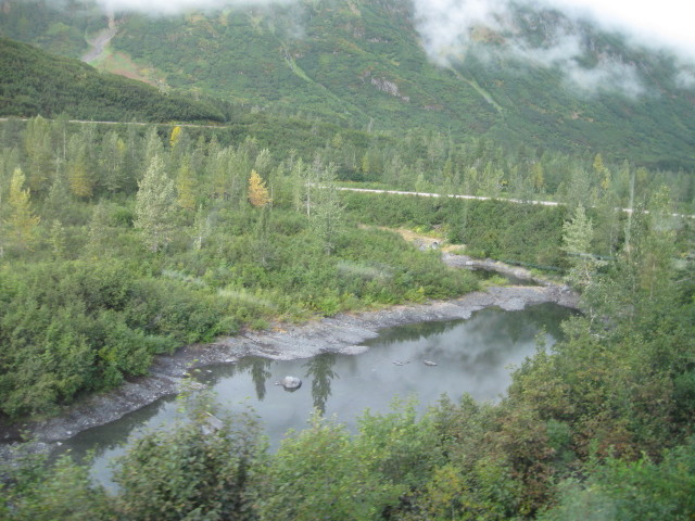
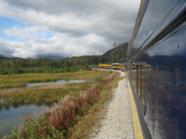
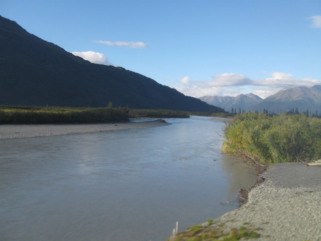
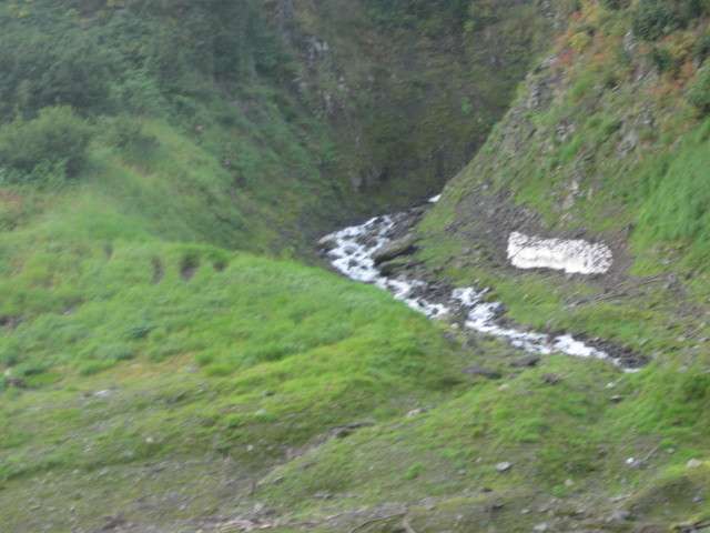
MP 54.1 Placer River. The
railroad crosses the Placer River using a 200 foot through truss
bridge with three wood spans. At the south end of the bridge, we
go from flat track to a grade of better than 2.2%, then 3.0% south
of Tunnel at milepost 51.0. Southbound the locomotives scream as
they haul us up the hills.
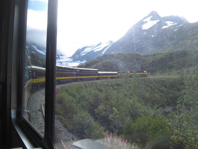
MP 52.7 Tunnel 52.7 This is
the first of five tunnels over the next mile, all of which help
the railroad to tunnel through the eastern slope of Spencer
Mountain. You must keep your arm, legs and head inside of
the car as there is very little clearance between the car and the
walls of these tunnels.
.
Placer River
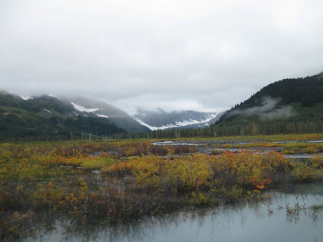
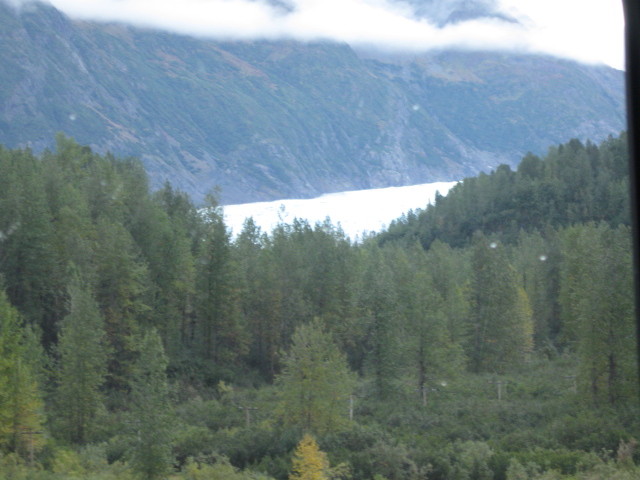
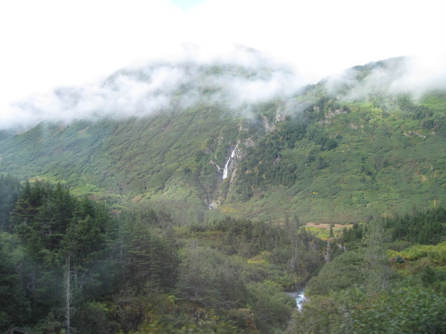
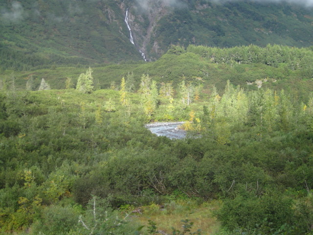
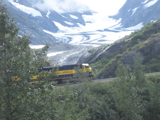
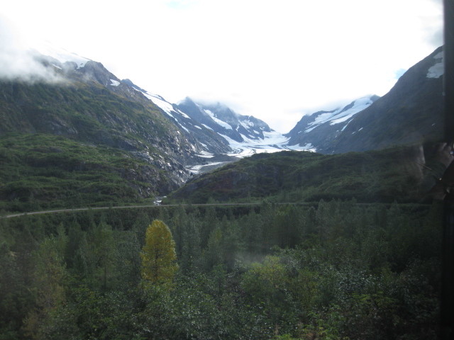
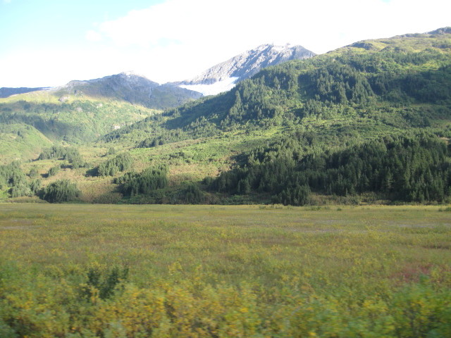
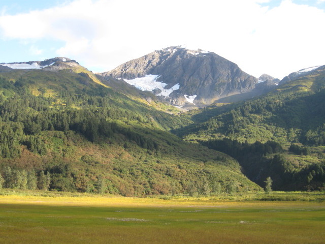
MP 48.2 Bartlett
Glacier. Named in 1907 for Frank Bartlett,
Alaska Central Railroad civil engineer, the glacier is visible
just 800 feet away from the tracks. Deadman's Glacier rises above.
Over the next several miles, the train climbs and curves. The
railroad makes a hard right while heading southbound, creating a
horseshoe curve.
Placer River with start and end of curve.
Where we was. The speedy train was doing
about 8 miles an hour up the horseshoe curve.
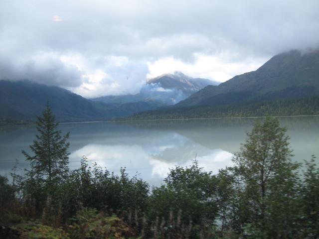
MP 33.8 Johnson. Johnson is
situated at the north end of Upper Trail Lake. We will run along
the eastern shore of the lake to Moose Pass where we will be
having our photo run by. Heading south we are making a turn from
westbound to southbound as we circle around Lark Mountain, to the
south. Lark Mountain is named for the horned lark, the only lark
found in Alaska. The hillside is a favorite location for birders
to see the lark.
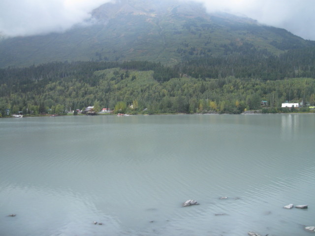
Upper Trail Lake.
Upper Trail Lake with gray glacier silt in water
MP 29.3 Moose Pass. This small
settlement located about where Upper Trail Lake Flows into Middle
Trail Lake was once a railroad section station. The community was
first named in 1912 as a station on the Alaska Railroad. The name
is reportedly derived from a mail carrier's team of dogs that in
1903 had considerable trouble gaining the right-of-way from a
moose. A post office was established in 1928. The railroad crosses
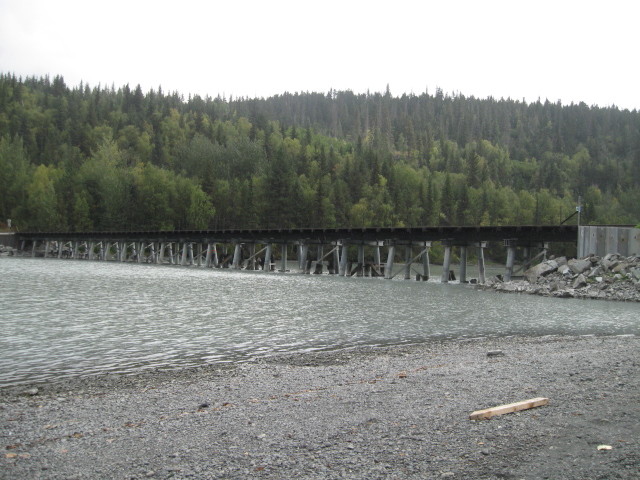
Trail Lake on a timber trestle made of 19 spans.
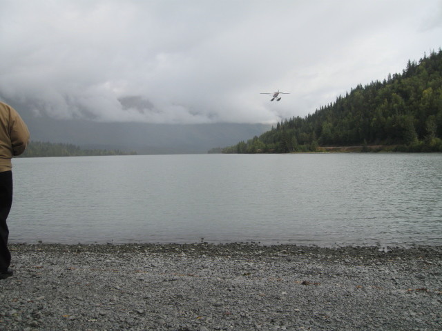
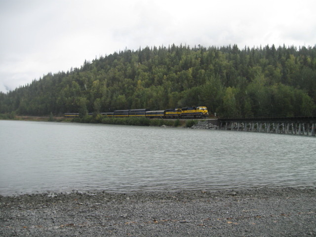
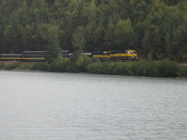
It is a little past noon when we stop at Moose
Pass and exit our cars for our photo run by.
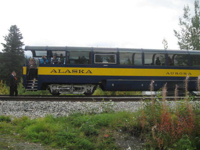
"Aurora" 2000. Business Car/Conf. Room
Obs. Built in 2000 by Colorado Rail car as Florida
Fun Train 9005 but never delivered.
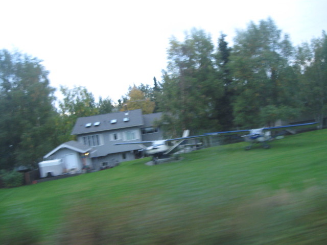
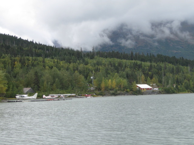
Float plane on landing path.
We had a few light showers at this location but
that didn't dampen anyone's spirits.
Click Back button on your browser to return to
this page.
Upper Trail Lake.
GPS: 60 29.191, -149 21.968
Click
for map.
Click Back button on your browser to return to this page.
After re-boarding our train it is an announced
that in Fairbanks on Tuesday, next day after we left, they had 2
inches of snow.
MP 12.0 Divide. Divide is a
siding to the west, once know as Summit Station. This is a small
"Continental Divide" at the top of grades more than 2% in each
direction. This is the first crossing of the Kenai Mountains at
approximately 700 feet in elevation. All waters from here to MP
312 flow into Cook Inlet. Directly to the west is Mount Ascension
at 5,710 feet in elevation. To the east is Paradise Peak at 6,050
feet. To the southwest is Resurrection Peaks, topping out at 4,712
feet.
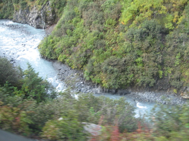
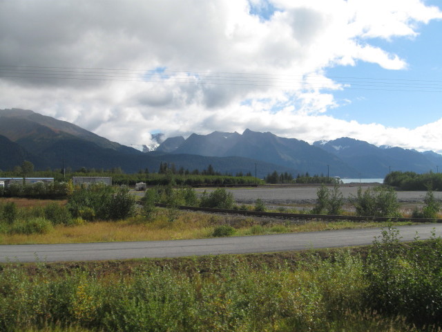
MP 3.2 Resurrection River. The
Resurrection River travels through a wide flood plain in this
area. The Harding Icefield to the west is the source for this
river. Due to the heavy silt in the river, not many salmon are
present. Resurrection River flows into Resurrection Bay at Seward.
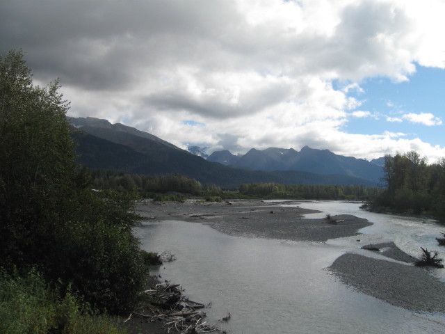
Resurrection River.
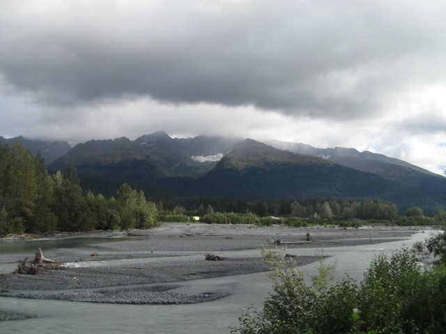
Resurrection River.
Four modes of transportation: Rail, Auto, Plane; Seward Airport,
Boat; Resurrection Bay.
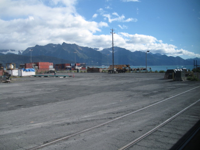
MP 2.3 Seward Wye. To the east
is the Seward Yard, a small locomotive and car shop, and the line
to the coal and inter modal docks. Shortly our train will back
over this Wye.
Seward Wye tracks.
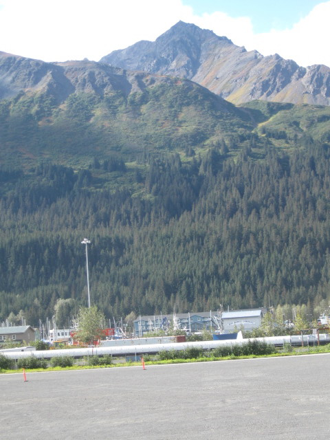
MP 1.7 Seward Station.
The "Railhead" of the Alaska Railroad. A year round deep-water
port, Seward is the gateway to interior Alaska and is situated
on Resurrection Bay's fertile, salmon and halibut-filled
waters. Resurrection Bay was named in 1792 by Russian fur
trader and explorer Alexander Baranof. While sailing from
Kodiak to Yakutat, he found unexpected shelter in this bay
from a storm. He named the bay Resurrection because it was the
Russian Sunday of the Resurrection.
The City of Seward was named for US
Secretary of State William Seward (1861-69) who orchestrated
the purchase of Alaska from the Russians in 1867. Construction
of a railroad at Seward was first begun in 1904 by the Alaska
Central Railway. By 1960, Seward was the largest community of
the Peninsula. Tsunamis generated after the 1964 earthquake
destroyed the railroad terminal and killed several residents.
Because of the damage, and the move of the major port
facilities to their current location, the railroad was
abandoned between the depot location and the edge of town at
Dock Road, milepost 1.6.

Salmon playing the mating game in stream next to rail tracks
at Seward station.
The railroad's Seward terminal is spread
across 328 acres. To the east is the coal and the Alaska
Railroad's inter modal dock and cruise ship port.
Approximately 240 acres are used for railroad operations while
the rest is available for lease or permit. The four major rail
uses of the terminal are (1) the coal loading facility and
dock (26 acres), (2) the cruise ship and passenger dock and
terminal (12 acres), (3) the freight dock (35 acres), and (4)
the railroad yard. The Alaska Railroad is in the process of
expanding its freight dock in Seward to improve safety,
efficiency and capacity of freight inter modal operations
(ship-to-train, ship-to-truck, ship-to-barge).
Seward is technically milepost 0 of the
Iditarod Trail. The trail was surveyed in 1910 as a mail route
between Seward and Nome. The trail, used until 1924 when it
was replaced by airplanes, was 98 miles long. Today, the
entire trail is a National Historic Trail.
Mount Marathon overlooking Seward.
After a short wait at
the Seward Station, our train backs down the tracks and is
switched over to the wye track. Continuing backing on wye
we are then switch onto a main line and continue backing
to the end of the line. The start of the line.
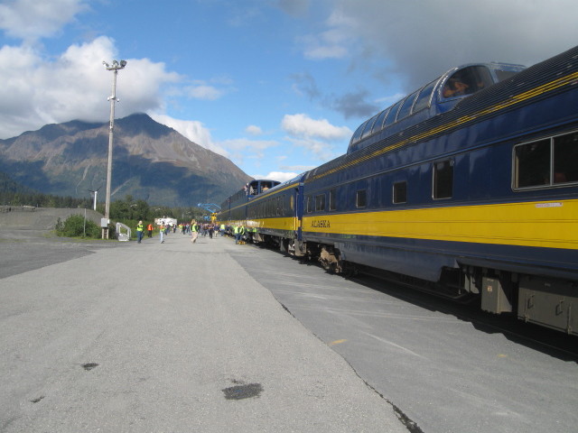
Mount Marathon and the front of our train.
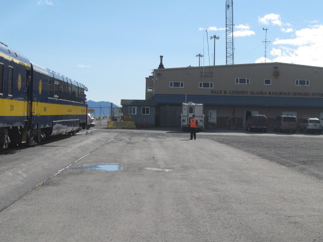
This is as far as you can go. Conductor is standing at
the end of line. In the back is the Dale R. Lindsey
Alaska Railroad Seward Dock.
This is the
southern most point in my travels here in Alaska.
GPS: 60 07.236, -149
25.694
Click
for Map
Click Back
button on your browser to return to this page.
After everyone had
taken all their photos we start our return trip north
to Anchorage.
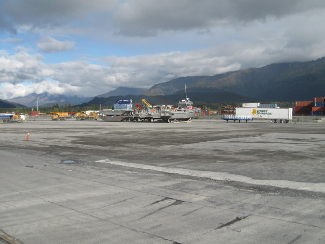
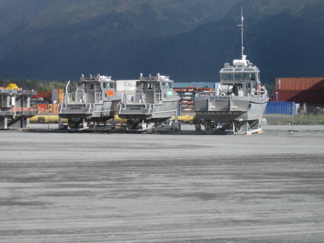
Dry dock for the coming winter ?
After getting
under way, I made my way to the dining car for a
lunch break. My chosen selection today was Slow
Braised Pot Roast. A perennial favorite, the
slow-cooked pot roast is served with mashed
potatoes, red wine demi sauce, seasonal vegetables
and a dinner roll. The meal and service was
excellent.
The nourishment break over and
I am now sedate with nothing to do but sit back
and enjoy the Alaska countryside. The return trip
always seems to go faster than the outbound
trip. Maybe because we stop for the run bys on the
way out. So the train is going at a good clip to
get back to Anchorage.