


Robin Bowers
Text and Photos by Author
The
author retains all rights. No reproductions are allowed
without the author's consent.
Comments are appreciated at...
yr.mmxx@gmail.com
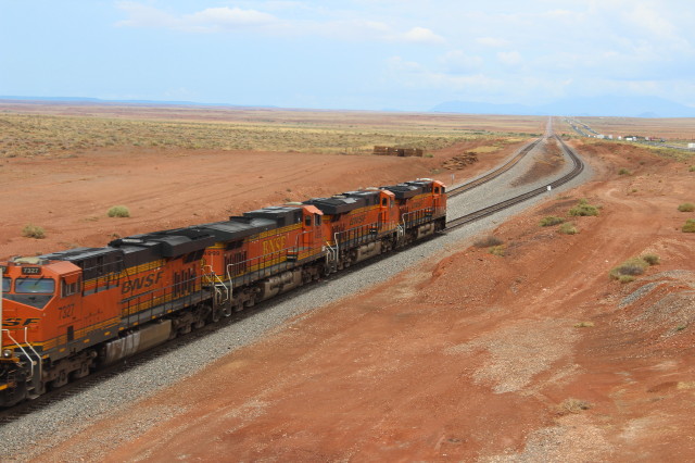
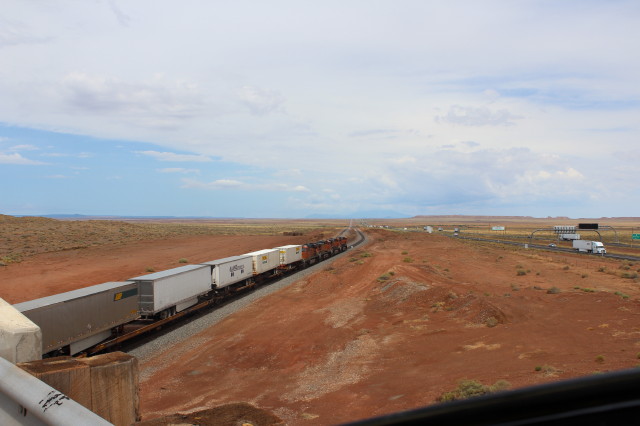
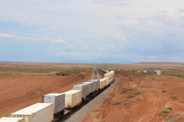
At Exit 252 on I-40 then turn right to
bridge over BNSF in West Winslow.

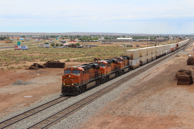
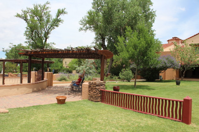
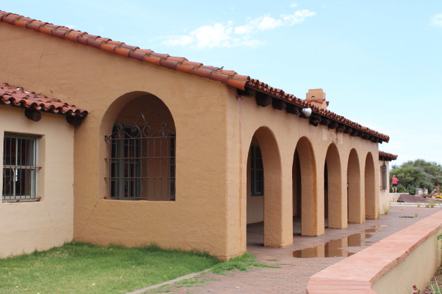
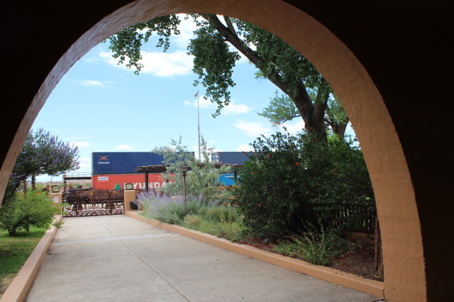
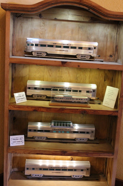
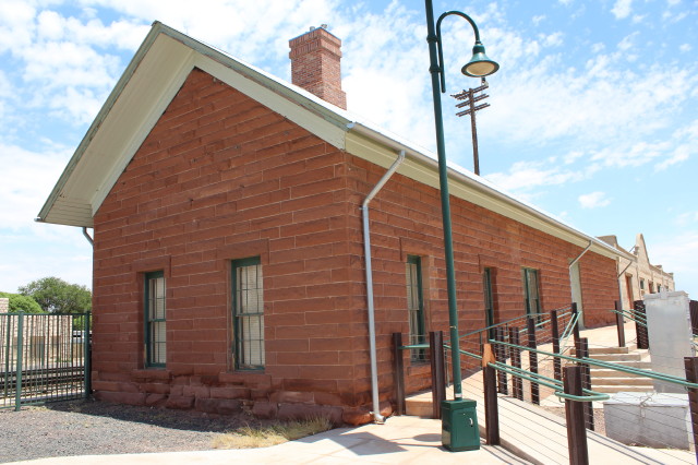
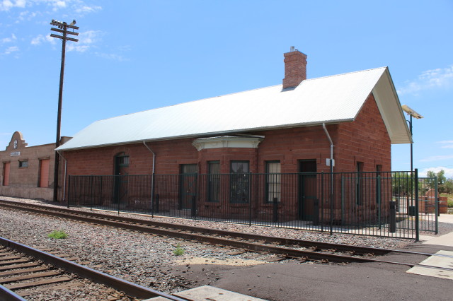
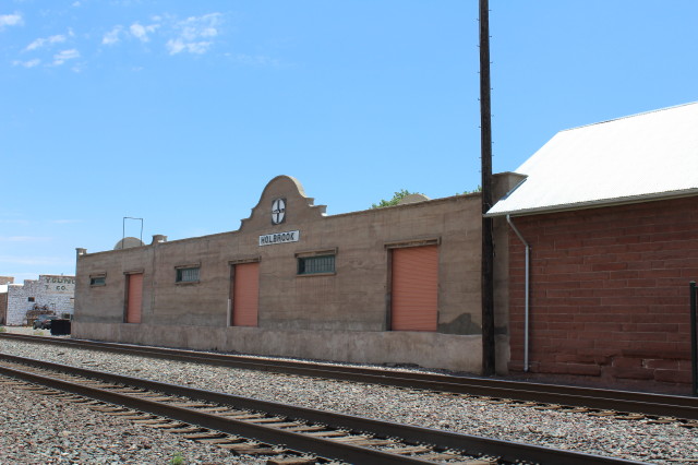
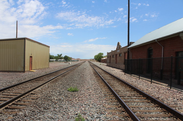
We take
Exit 286 at AZ 77 in Holbrook, AZ and
then south to Santa Fe Freight House.
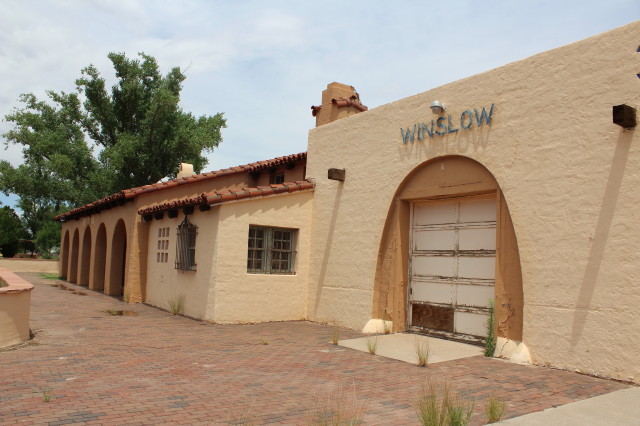
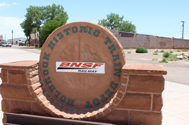
Holbrook was founded in 1881 when the
Atlantic and Pacific Railroad reached
this point. Once called the "town too
tough for women and churches," the
community was named for Henry R.
Holbrook, chief engineer of the railroad
project. The seat of Navajo County,
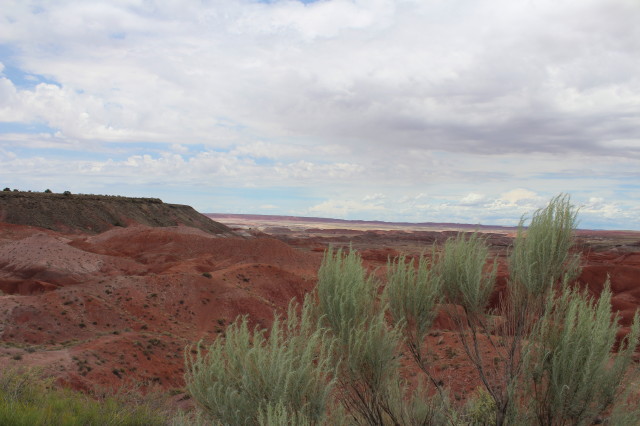
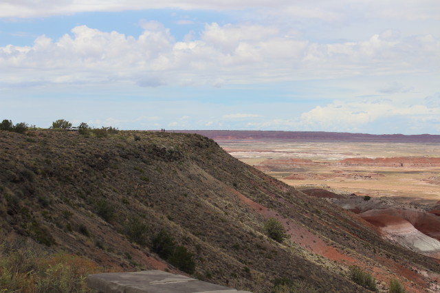
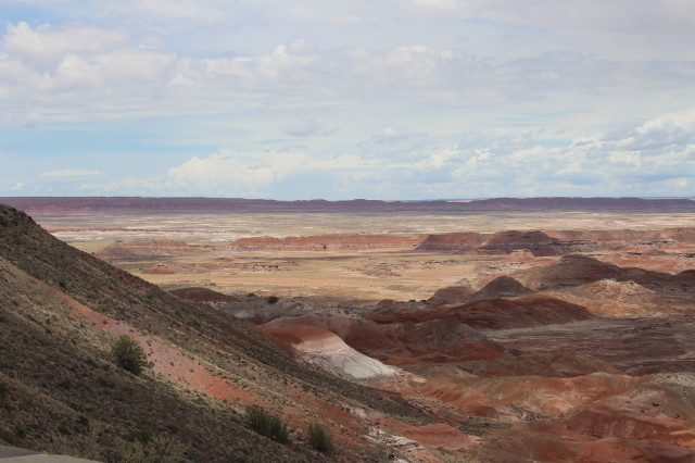
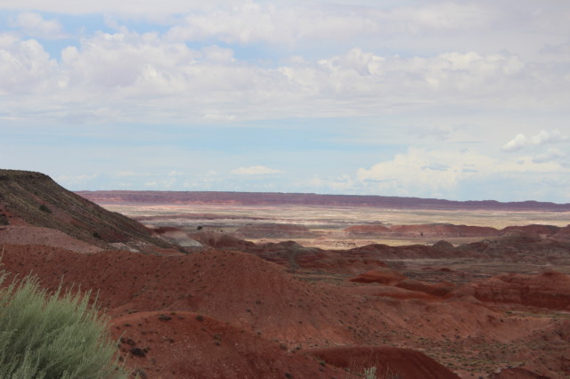
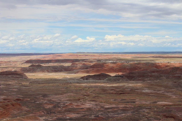
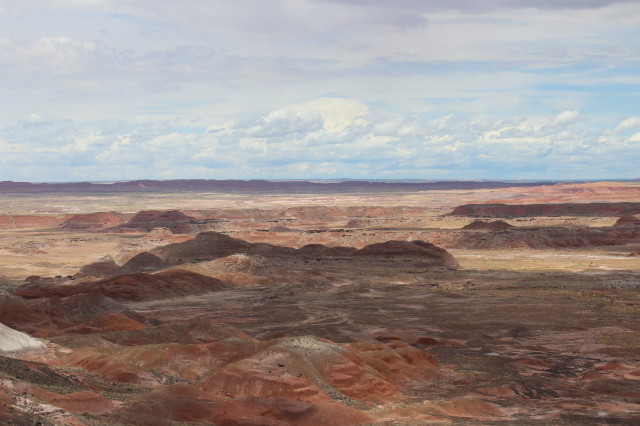
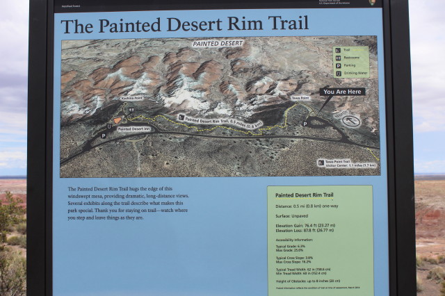
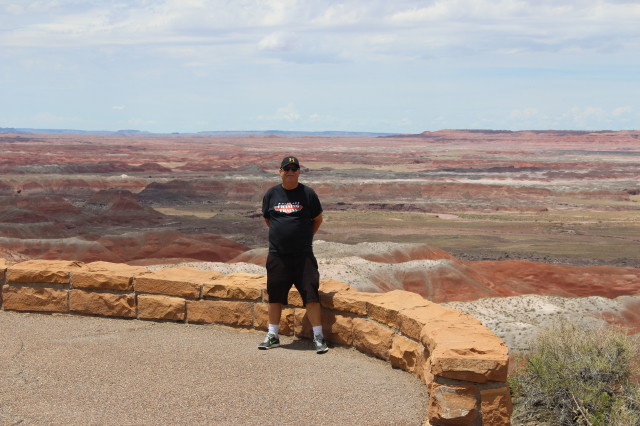
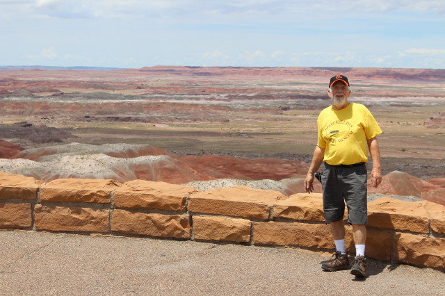
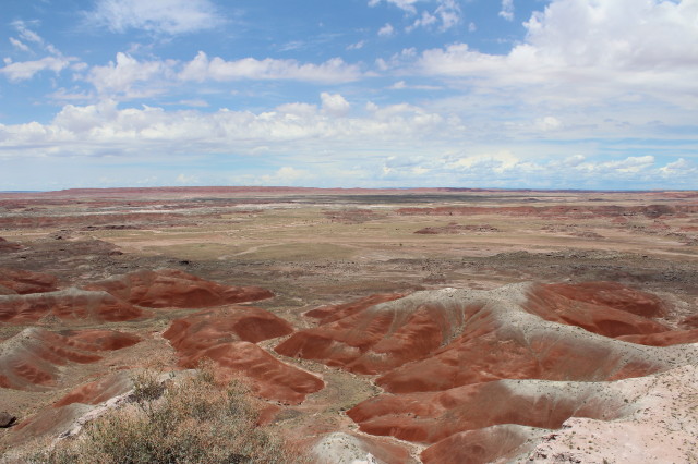
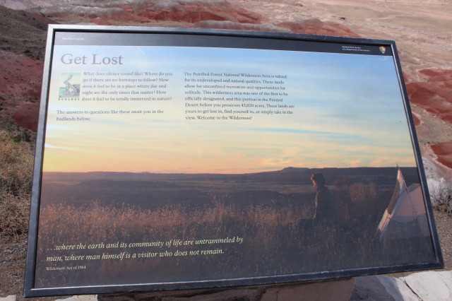
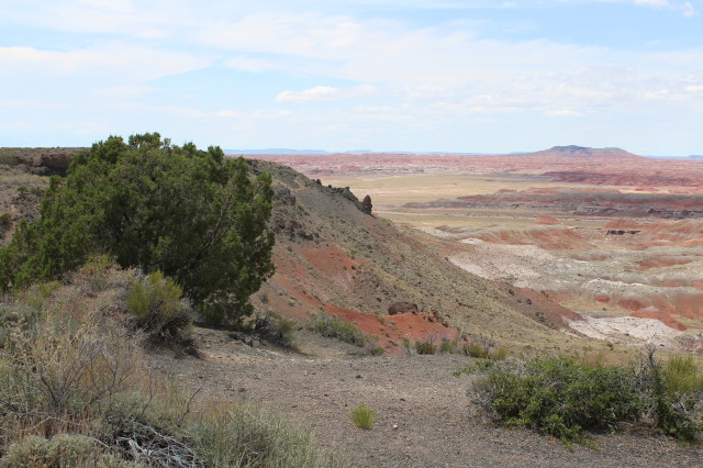
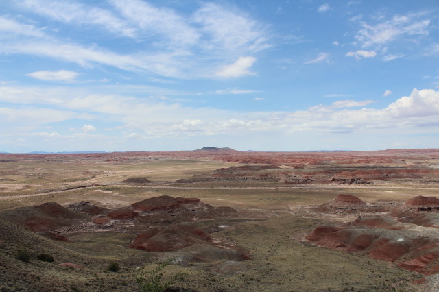
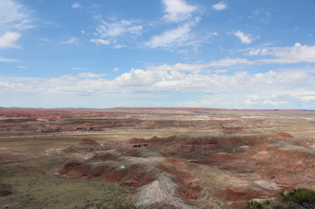
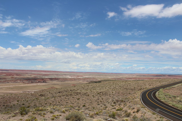
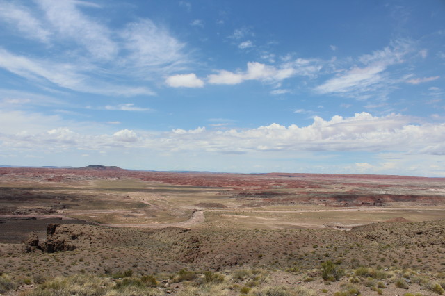
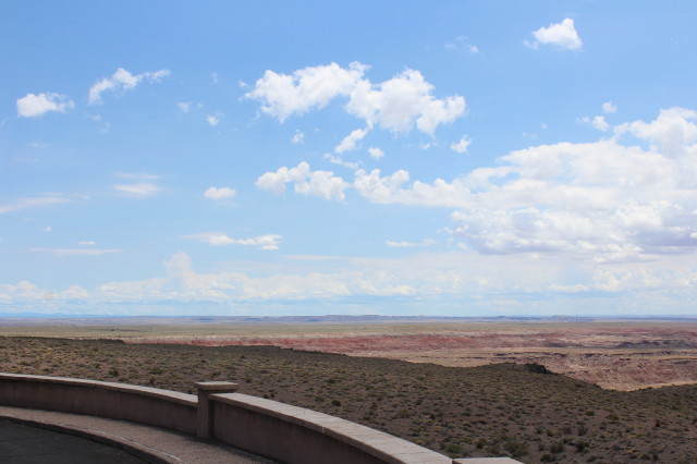
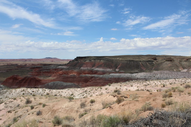
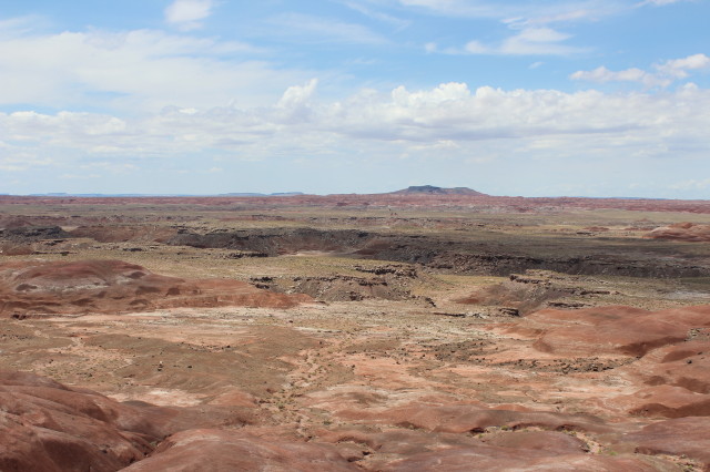
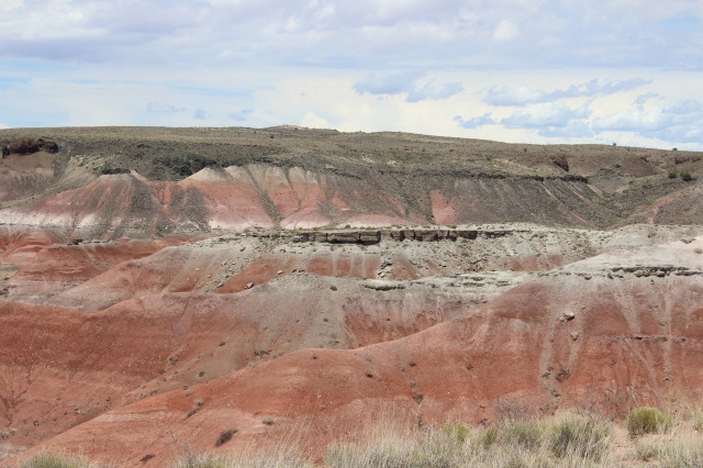
Holbrok is close to Petrified Forest
National Park and several reservations.
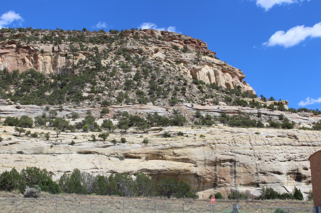
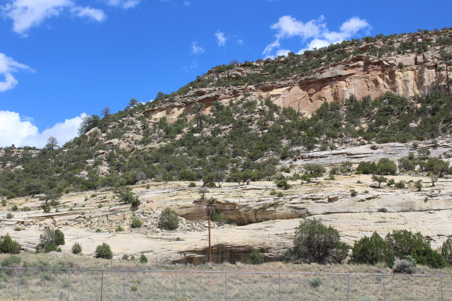
The
Little Colorado River's sweeping turns
traverse westward through town, and the
terrain consists of flat plains, rugged
hills and small buttes. Official U.S.
mail is delivered to Scottsdale in early
February when the Pony Express rides
from Holbrook.

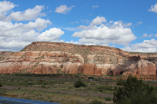
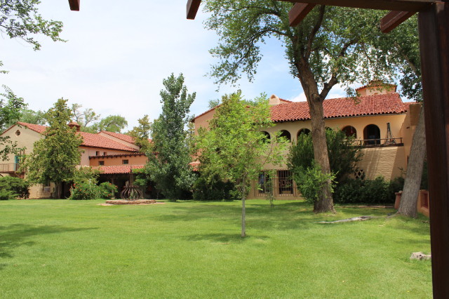
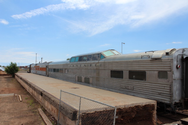
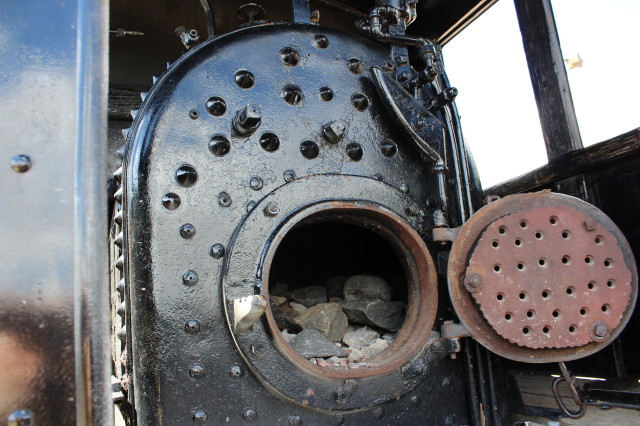
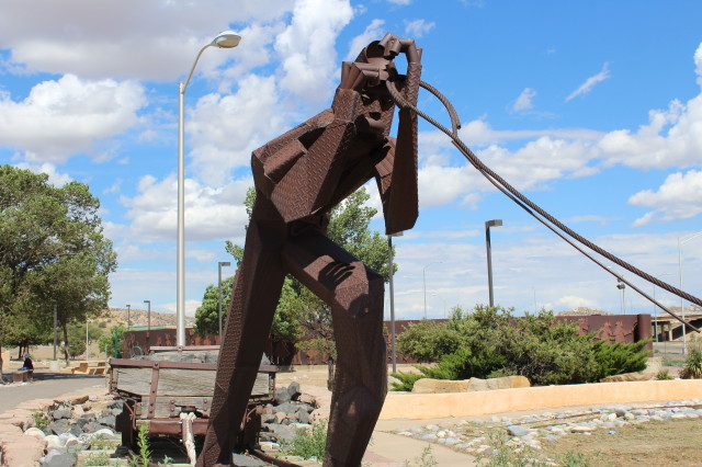
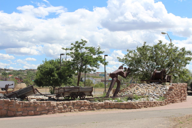
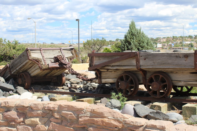
The
Atchison, Topeka & Santa Fe
Railway pushed into this red rock
mesa region in 1881 to use area coal
deposits for its engines. Until then
mostly stock men had lived in the
area; Gallup was a stage stop with
nothing more than a saloon/general
called the Blue Goose. Coal mining
and the presence of the railroad
attracted settlers from other
nations, giving the city an
unusually cosmopolitan heritage.
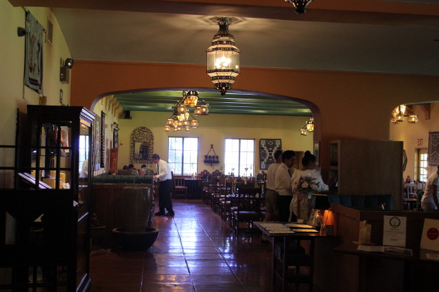
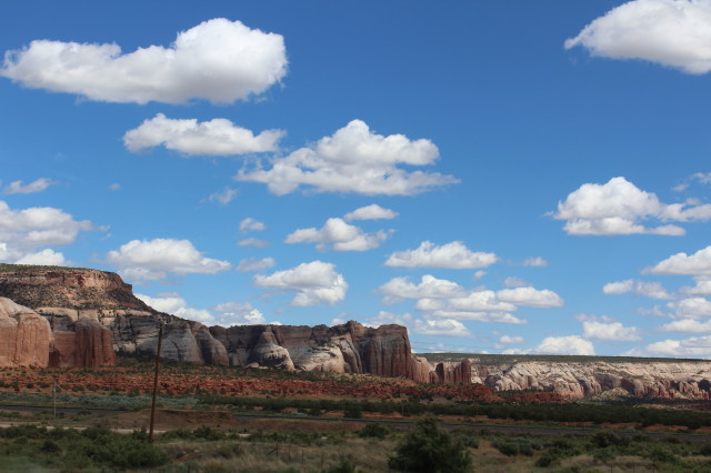
The
city is best know as the principal
Navajo trading center-their vast
reservation extends north and west
into Arizona. It also has more than
100 trading posts, shops and
galleries.
The Navajo Nation is the home of
the largest Native American tribe
in the United States. It occupies
27,000 square miles in Arizona,
Utah and northwestern New Mexico.
Of the tribe's nearly 300,000
members, some 106,800 live in New
Mexico. These lands are rich with
the living culture of the Dine
("the People," in their language)
and in recreational opportunities
like hiking, hunting and fishing.
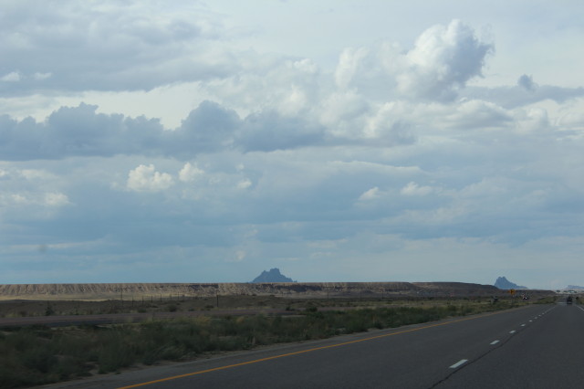
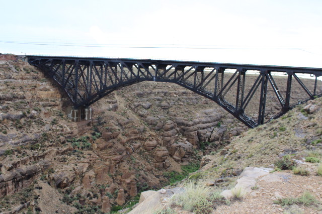
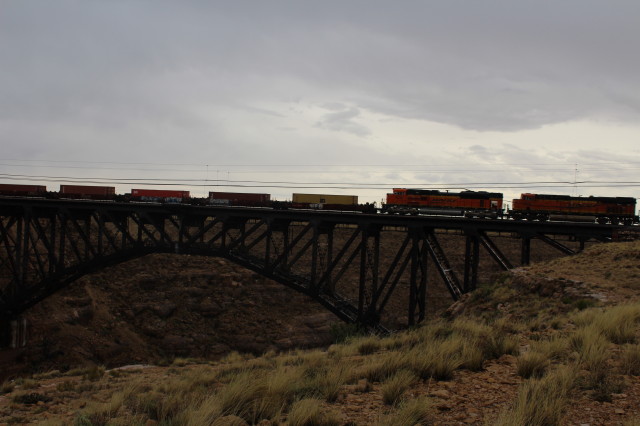
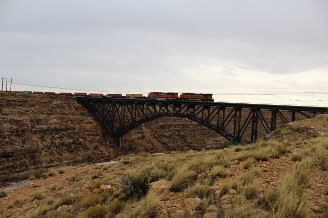
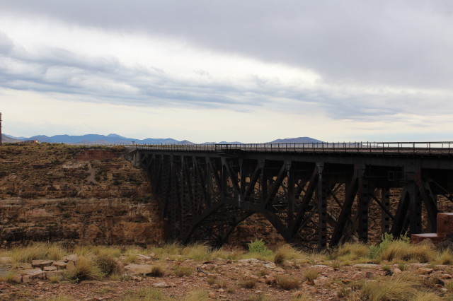
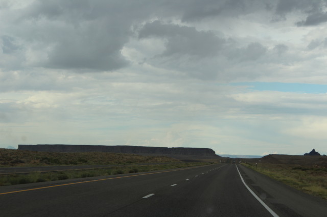
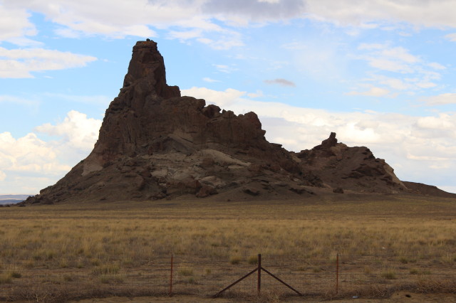
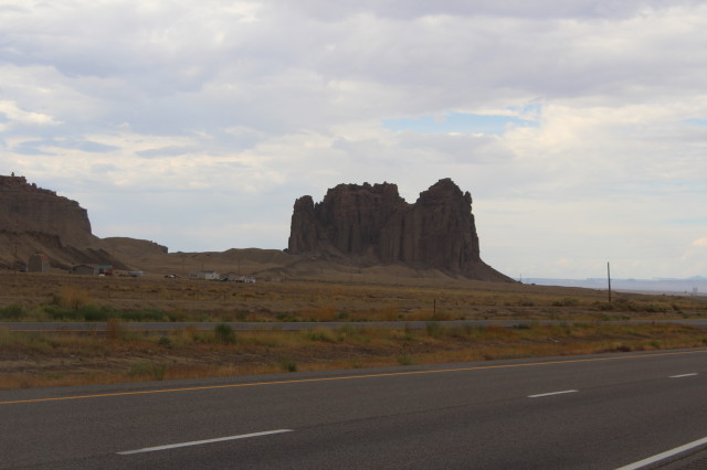
Awesome scenery while driving north on US 491 through Navajo Nation.
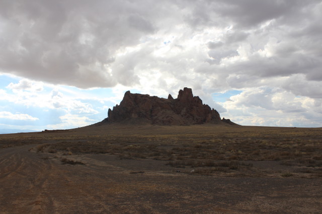
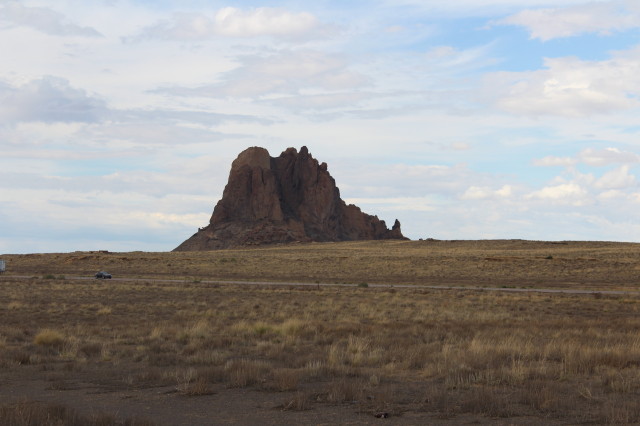
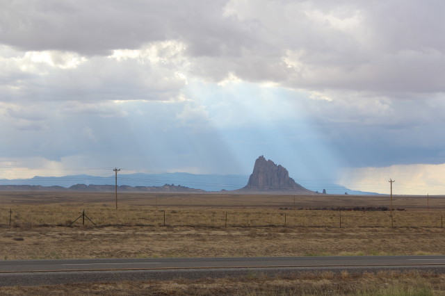
Shiprock el.7178ft:
ground el 5590ft.


