Text and Photos by Author
The author retains all rights. No reproductions are allowed without the author's consent
Comments are appreciated at...yr.mmxx@gmail.com
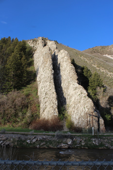
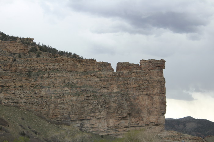
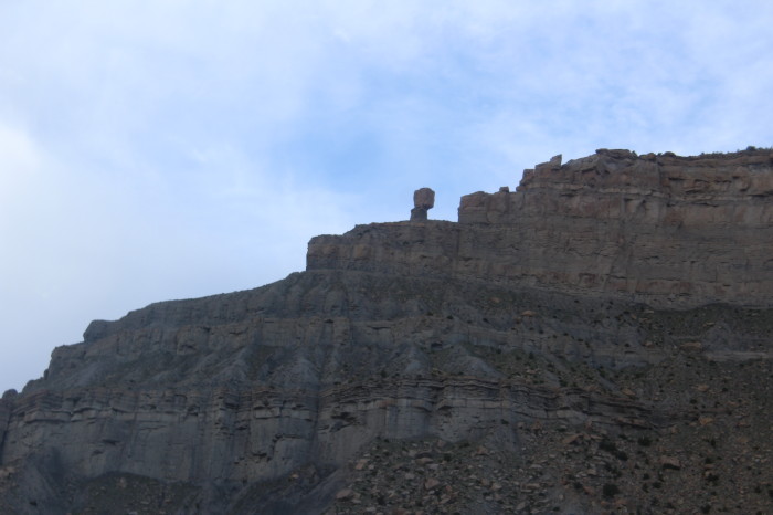
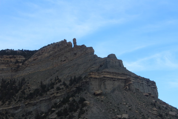
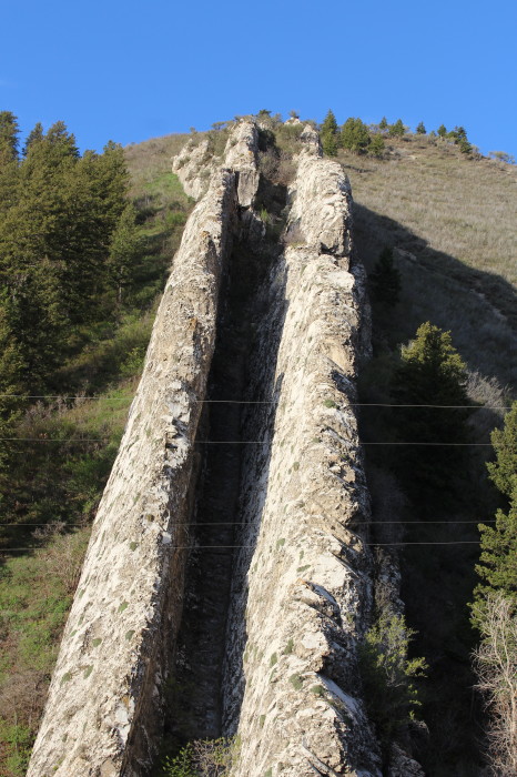
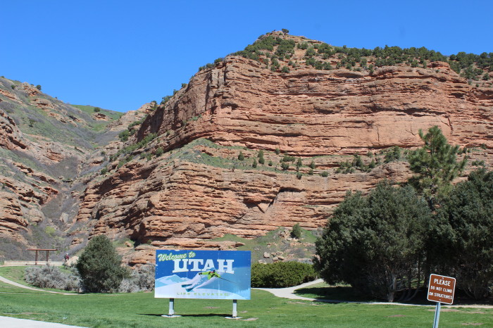
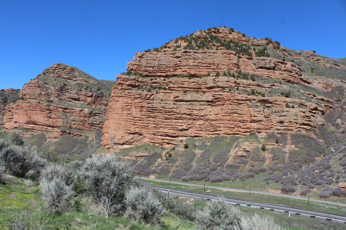
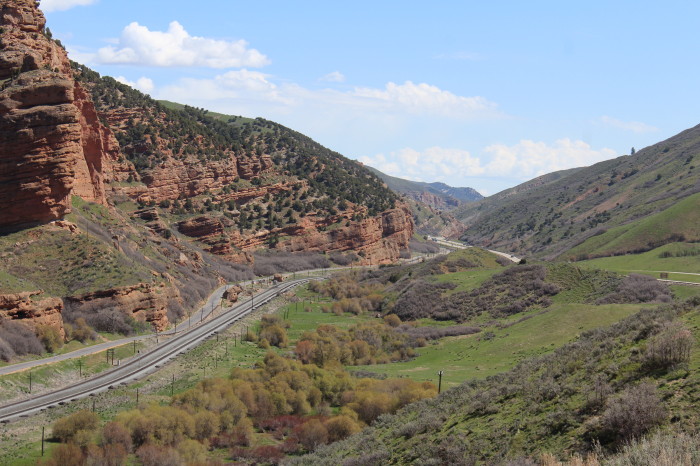
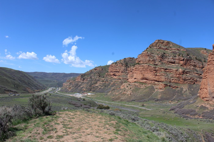
Devil's Slide is an unusual geological formation located near the border of Wyoming in northern Utah's Weber Canyon, near the community of Croydon in Morgan County, Utah, United States. The slide consists of two parallel limestone strata that have been tilted to lie vertical, protruding 40 feet out of the mountainside. Intervening layers have eroded more quickly, forming a channel some 25 feet wide running hundreds of feet down the mountain.
I-84 runs right past Devil's Slide, which can be clearly seen from the road. The Weber River flows between the formation and the freeway. There are parking areas on both sides of the highway for viewing the slide.
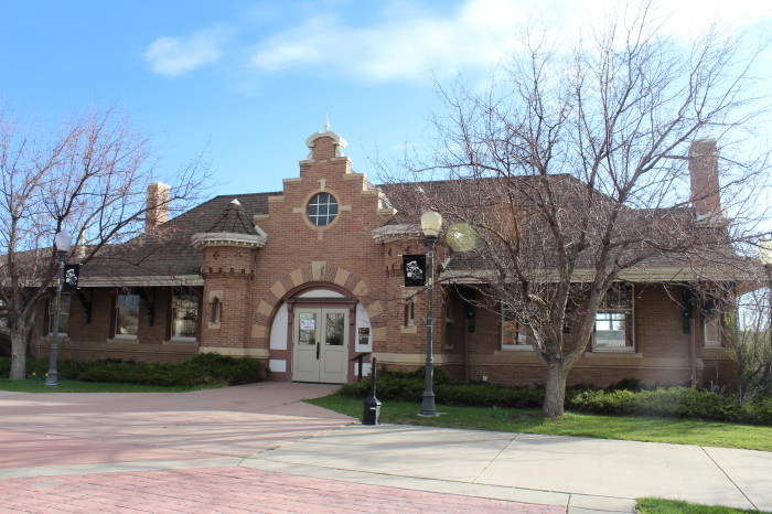
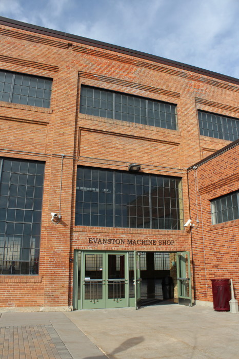
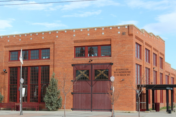
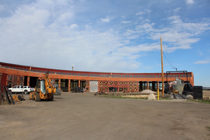
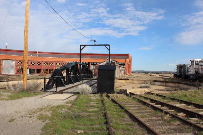
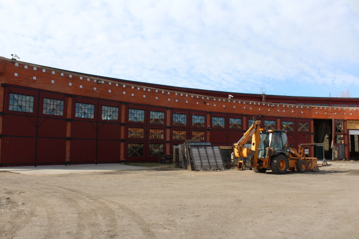
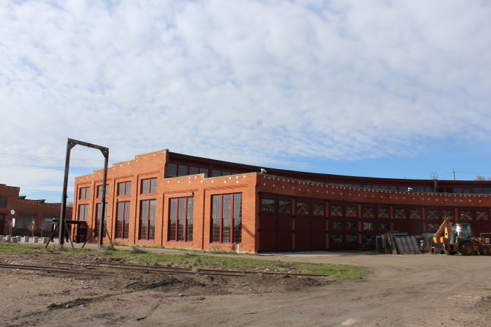
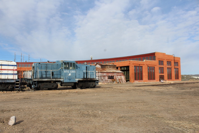
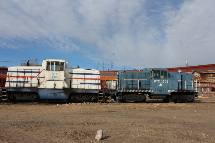
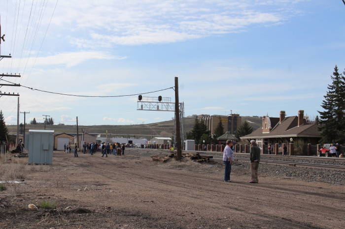
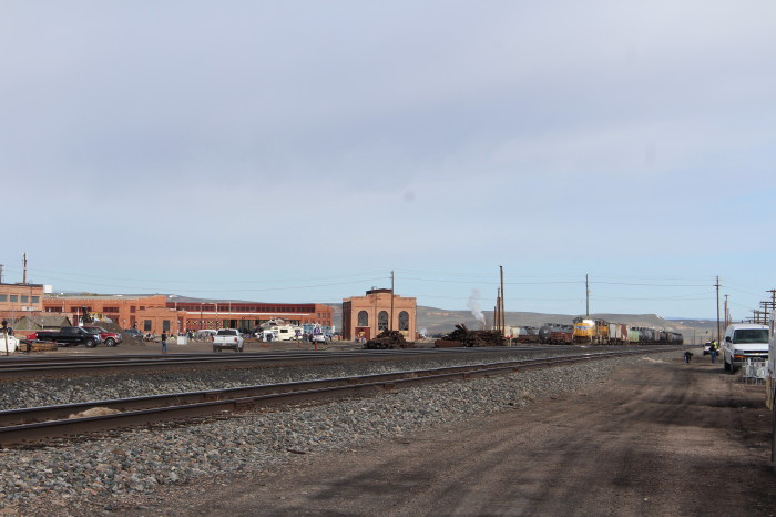
The Independence Day Celebration in Evanston in 1871 included the dedication of the Union Pacific Roundhouse and Machine Shop. In 1912, the present brick roundhouse and turntable were constructed to accommodate the larger steam locomotives being brought into service. The Roundhouse and associated structures served the UPRR as a main rail car and engine repair station and later as a reclamation facility.
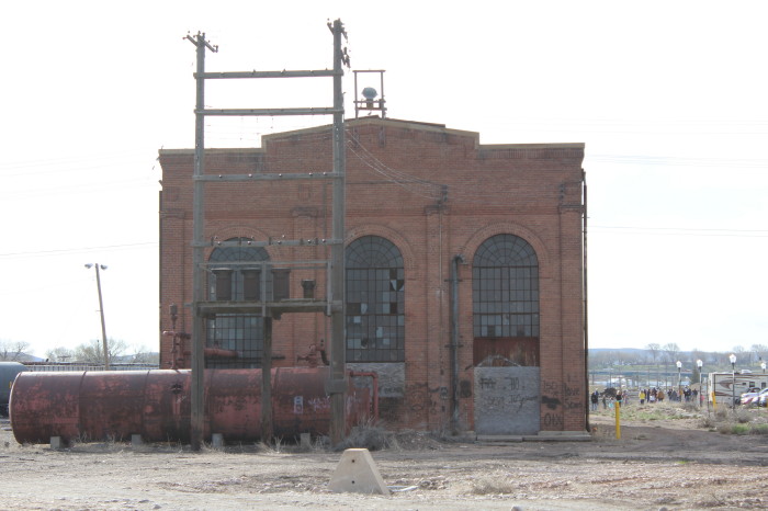
In 1971, the UPRR officially vacated the Roundhouse, and the following year, deeded the properties (with the exception of the Power House) to the City of Evanston. From 1972 to 1998, the Roundhouse continued to be utilized as a repair station as several companies leased it from the city. In 1998, the last business vacated the site.
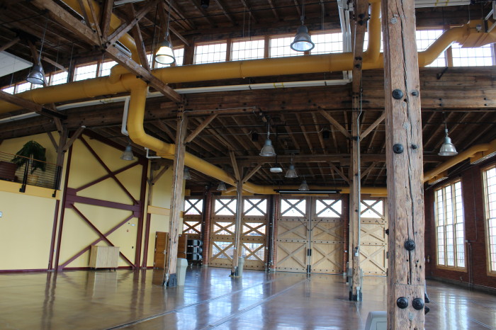
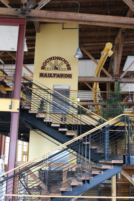
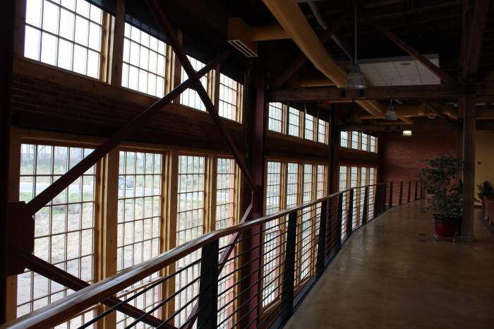
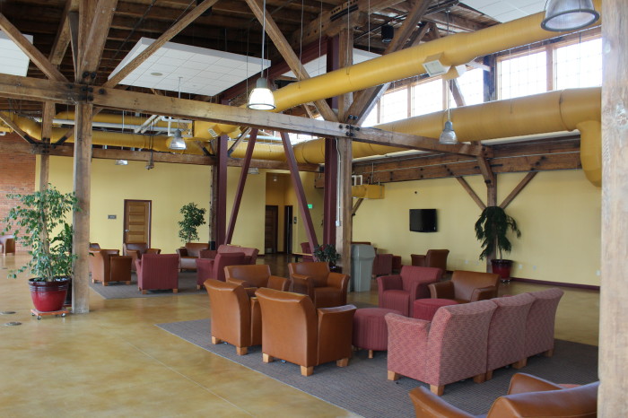
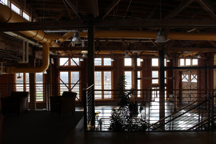
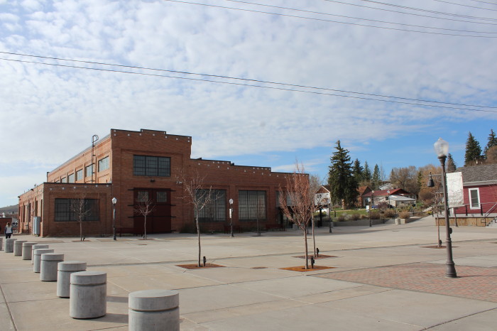
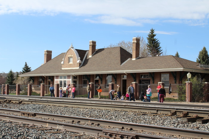
In 2004, a Master Plan was created designating the Roundhouse as a future public building and as a future city hall. With the completion of the nearby Machine Shop in 2005 and its parking area in 2006, it became evident that the time had arrived to save Section One of the Roundhouse. In 2007, the city was awarded a Wyoming Business Council grant to help renovate the 65,000 sq. ft. first section, and by January, 2008, project had begun.
In 2009, the community held the first event in the renovated first section of the Roundhouse: The 27th Annual Renewal Ball.

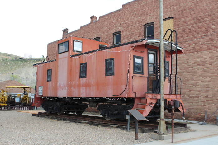
Soldier Summit is the name of both a mountain pass in the Wasatch Mountains in Utah and a ghost town located at the pass. Soldier Summit has been an important transportation route between the Wasatch Front and Price, Utah, since the area was settled by the Mormon pioneers. It is on the route of both U.S. Route 6 and the old main line of the Denver and Rio Grande Western Railroad (D&RGW), now owned and operated by the Union Pacific Railroad. Located where the road makes a brief bend through the extreme southwest corner of Wasatch County, Soldier Summit historically had more to do with nearby Utah County.
At one time both the state highway department and the railroad had operations at the summit, but with the exception of a gas station that is sometimes open, the town site is now abandoned. Today it is a popular rest stop and photo spot for railfans. Many railfans also take pictures of the Gilluly loops, a series of horseshoe curves on the western approach to the summit. The California Zephyr Amtrak passenger train uses this route.
HistorySpanish Friars Francisco Atanasio Dominguez and Silvestre Velez de Escalante are credited with discovering the pass in 1776, but it was certainly used by Native Americans before them. The summit takes its name from a group of soldiers who were caught in an unexpected snowstorm on the summit in July 1861. These soldiers were Southerners, previously under Union General Philip St. George Cooke at Camp Floyd, on their way to join the Confederate Army. A few of them died in the storm and were buried on the summit.
In 1919, a real estate promoter named H.C. Mears surveyed a town site at Soldier Summit and began to sell building lots. The town was incorporated in 1921. There were stores, hotels, saloons, restaurants, two churches, and a school. Growth was driven by the D&RGW moving some of its machine shops, used for servicing helper engines, to Soldier Summit from Helper. The Church of Jesus Christ of Latter-day Saints organized a branch in the new town on June 21, 1921, with Parley Bills as branch president. The number of Mormons in the town was large enough in June 1927 to organize a ward with Walter S. Groesbeck as bishop. The population of Soldier Summit peaked at 2,500 in the 1920s, but began to decline as the railroad decided to move its operations back to Helper due to the severe winters and high cost of doing business at the summit. The introduction of diesel locomotives, and the realignment of the tracks through Tucker and Gilluly which reduced the grade from 4% to 2%, eliminated the need to place helper engines at the site, and further hurt the town's fortunes. The railroad moved many employees' homes to Helper, leaving only the foundations. By January 1930, the ward was reduced to a branch.
Over the next few decades, the town dwindled away. In 1948 there were 47 students at the Soldier Summit school. The next year enrollment dropped to 11, but the school stayed open. It was not until 1973 that the school was closed and the last few students sent to schools in Carbon County.
By 1979 there were only about a dozen adult residents left, but Soldier Summit still had four part-time police officers enforcing a community speed limit on the stretch of highway passing through town. When motorists complained of a speed trap, the state attorney general and the Utah Chief of Police Association investigated. They determined that the only reason for having a police department in Soldier Summit at all was to generate revenue for municipal services through traffic tickets. The police department was disbanded.
The town was finally dis-incorporated in 1984. Other than the gas station and two or three occupied houses, Soldier Summit is uninhabited. An old two-room jail, a few deserted houses, and several acres of foundations and crumbling walls are all that remains of the former town.
RailroadDepiction of a Denver and Rio Grande Western train climbing the summit, circa 1915. There are 5 locomotives used-four at the front and one at the back.
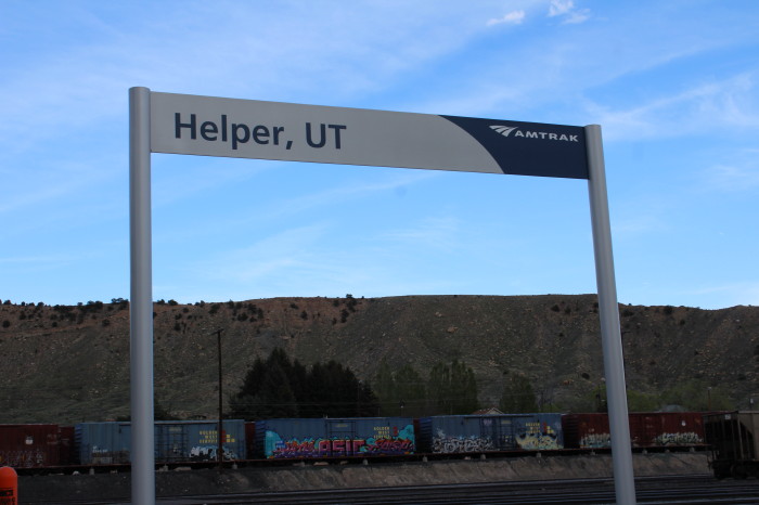
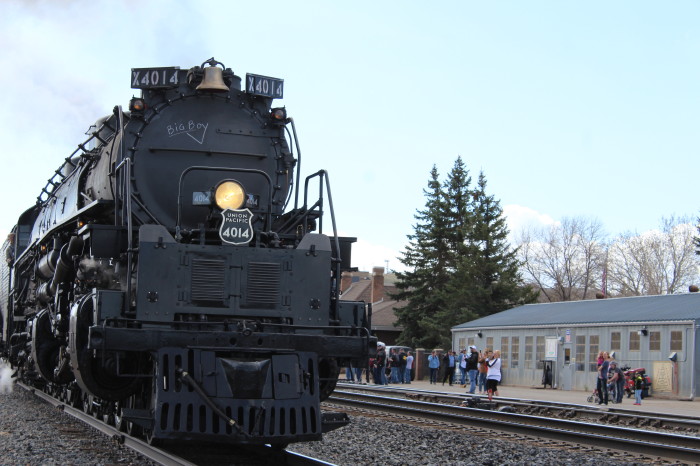
Helper derives its name from Soldier Summit. During the age of steam, the railroad stored helper engines at Helper. They placed the helpers on freight trains to climb the grades to the summit. Soldier Summit is the fifth-highest summit or pass on a U.S. transcontinental railroad main line after Tennessee Pass, Moffat Tunnel, Sherman Hill Summit, and Raton Pass.
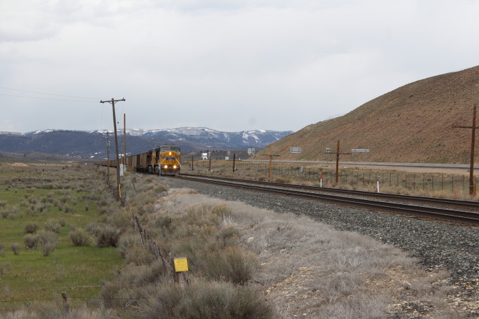
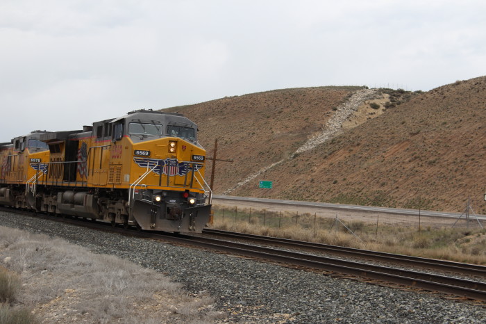
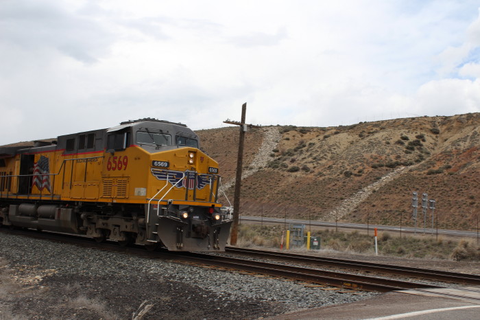
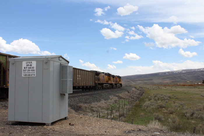
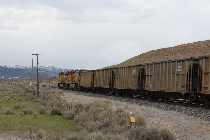
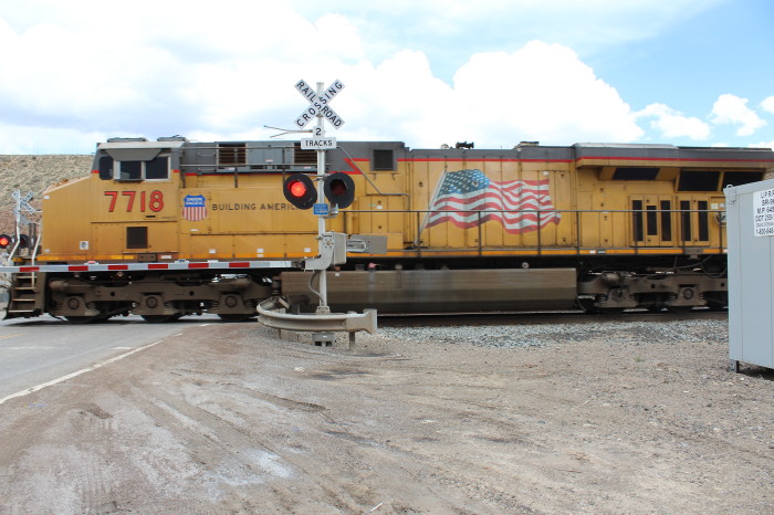
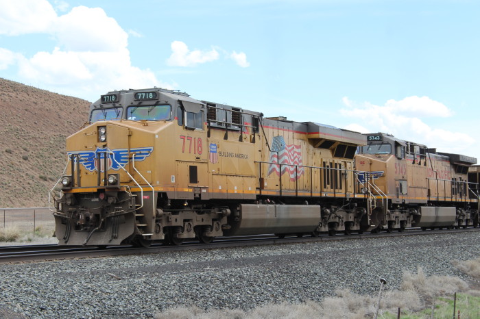
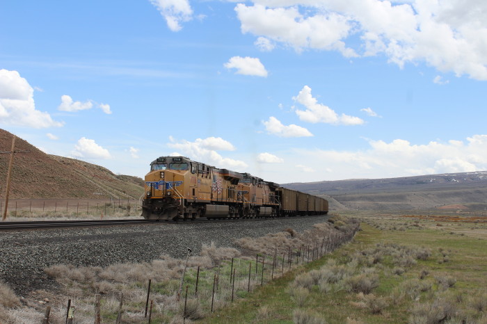
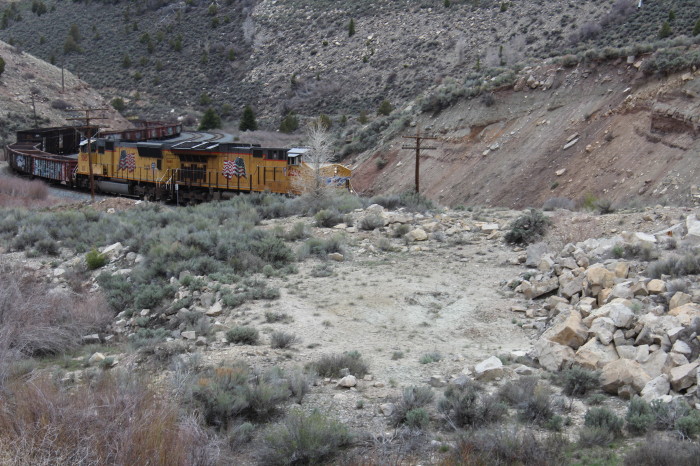
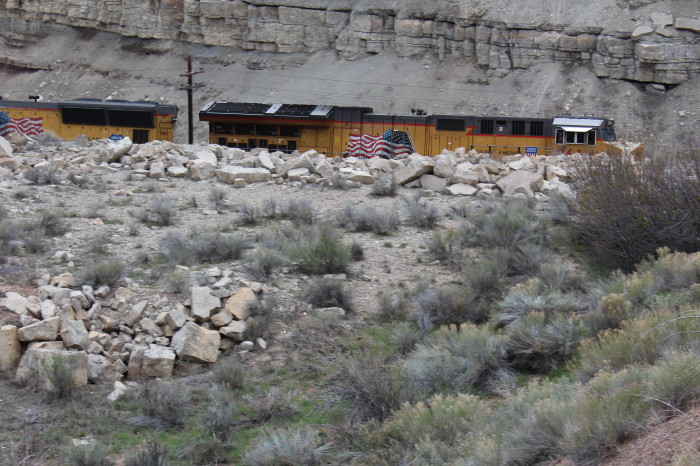
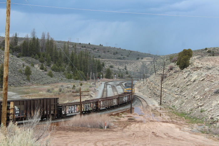
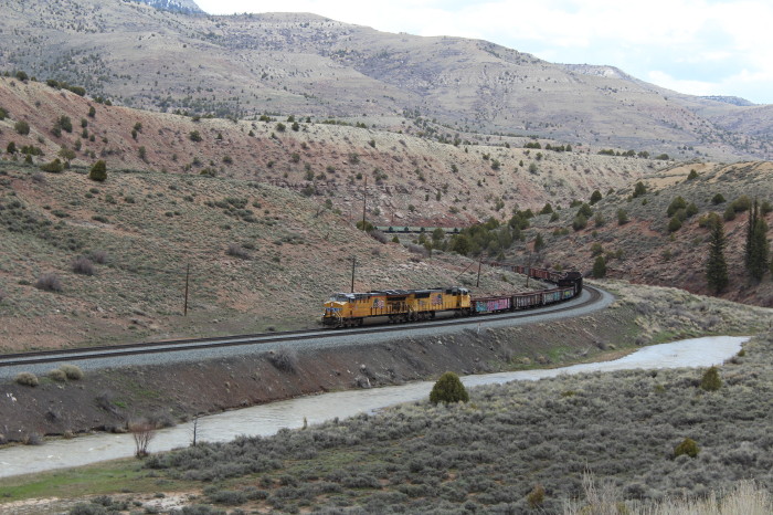
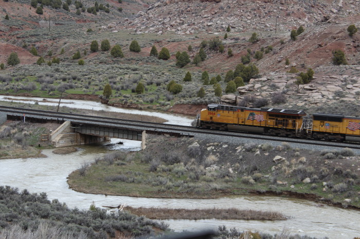
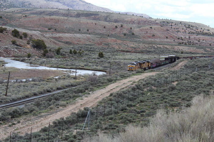
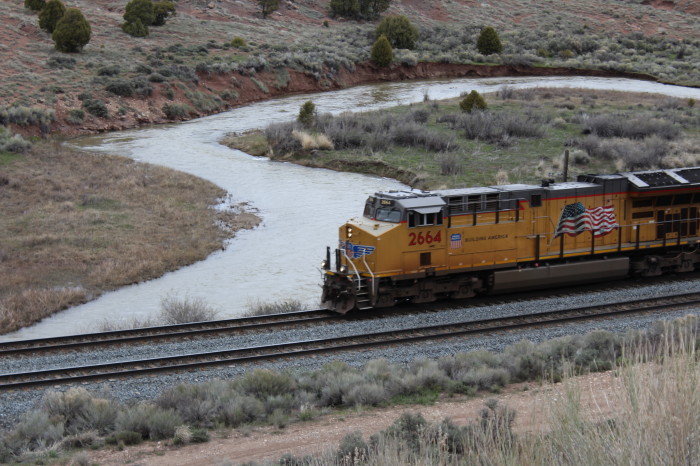
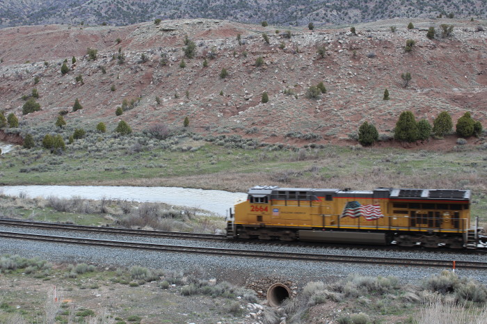
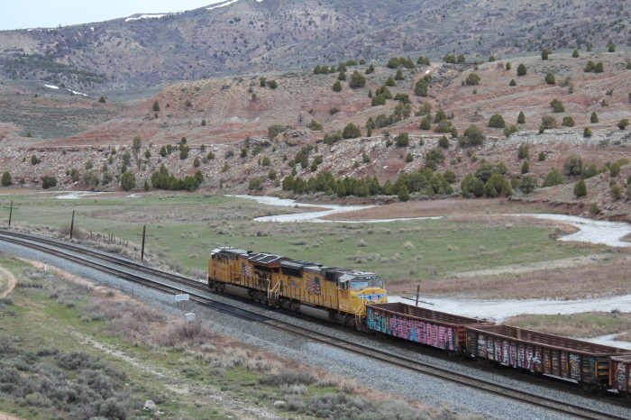
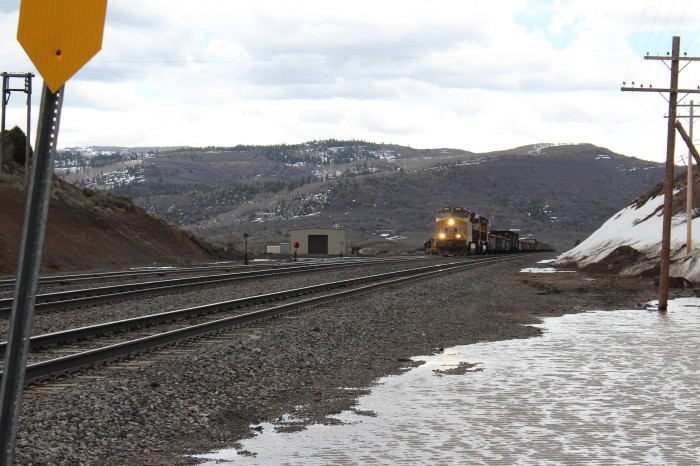
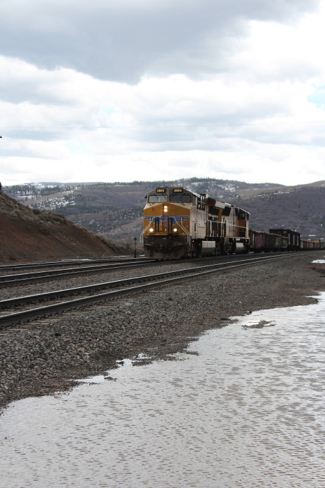
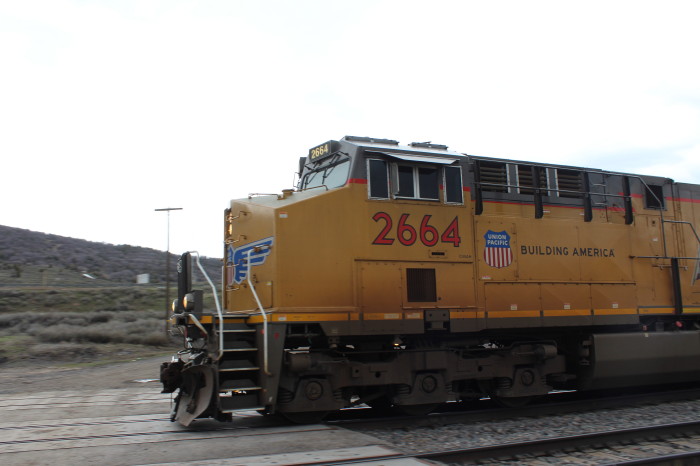
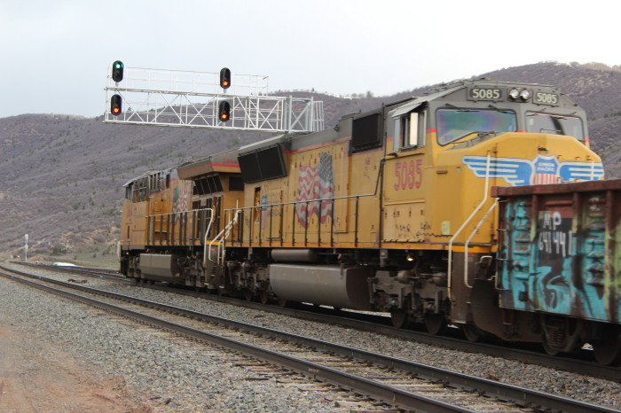
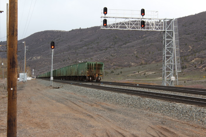
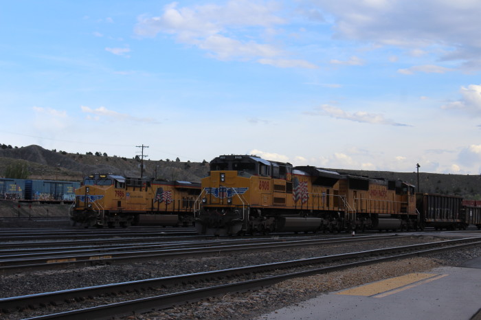
We drove US 6 east to the Summit of Solider Summit then found an eastbound empty Union Pacific coal train and stopped at the next grade crossing and waited for him to arrive.