|
Ulster & Delaware
Railroad |
|
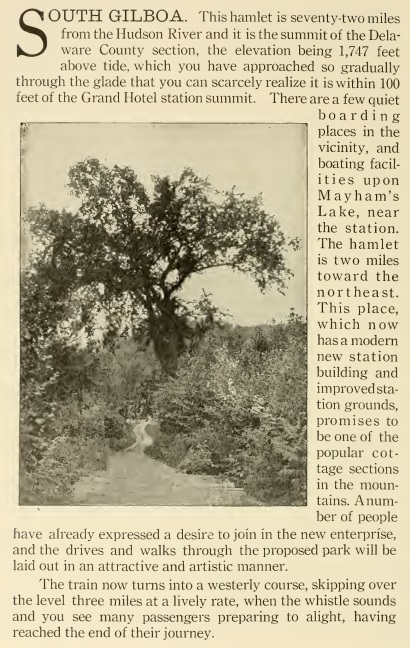
South
Gilboa | ||||||||||||||
South Gilboa was originally called
Blenheim Ridge, as it was in Blenheim until 1848 when the name was changed
to reflect the formation of the Town of Gilboa. It was named South Gilboa,
even though it is actually west of the location of the village because it
is in the southern section of the town, North Gilboa being the section
that borders Fulton and Broome. Many immigrants from Ireland's County
Heath settled here in the early and mid-1800's. There was once a store,
post office, church, and schoolhouse. Among those who received their mail
at the South Gilboa Post Office were Orin Sowles, Ax Handle Manufacturer;
Chauncey Simons, Tailor; John S. Mayham, General Merchandiser; and Roxana
Simonson, Milliner. During the infancy of aviation, a small airport that
held occasional air shows attracted large crowds from the surrounding
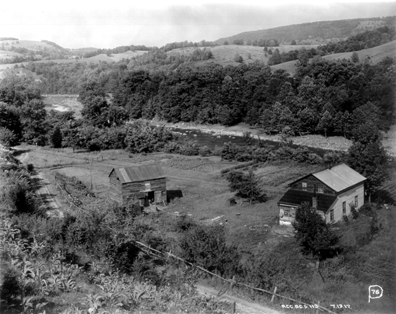
area. The area is now residential. The land along the water now known as Mayham's Pond was the site of Indian encampments as their artifacts have been found on its shores. In 1789, Abram Monfort, a Huguenot refugee who had been living on Long Island, settled on this site and built a house and sawmill. William Mayham, born in Ireland, bought the place in 1826; Benjamin bought it from his father William in 1859. Daisy DeSilva writes that Benjamin was a "farmer, sawyer, miller. He had the first kerosene lamp, the first mowing machine, the first gig horse rake, the first hay tedder. He practically built the telephone line from Stamford to his house and for years the whole neighborhood had use of his phone gratis." Mayham also operated a gristmill. The Brewsters were another prominent family here, owning a large portion of the same area. There is an inscription on the door of the Brewster vault in the cemetery that says "John Brewster was one of the earliest settlers of this part of Schoharie County and built the first frame building, first grist and saw mills. He was an Associate County Judge and was a direct descendant of William Brewster" (the Revolutionary War hero). From Sesquicentennial: Gilboa, New York 1848-1998 pp. 35-38.
| ||||||||||||||
|
Ulster &
Delaware Train Station: | ||||||||||||||
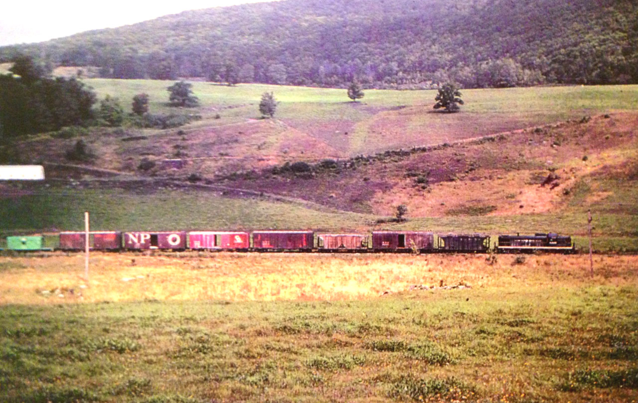
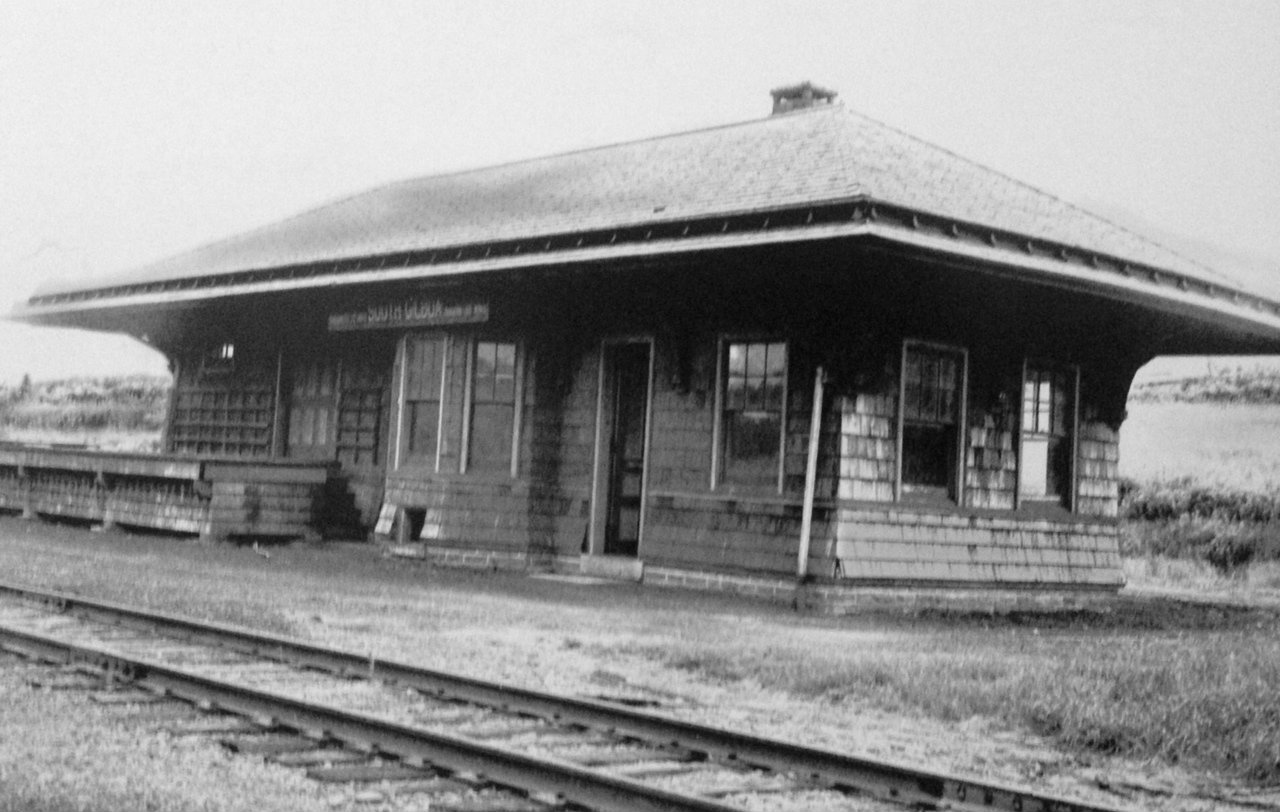
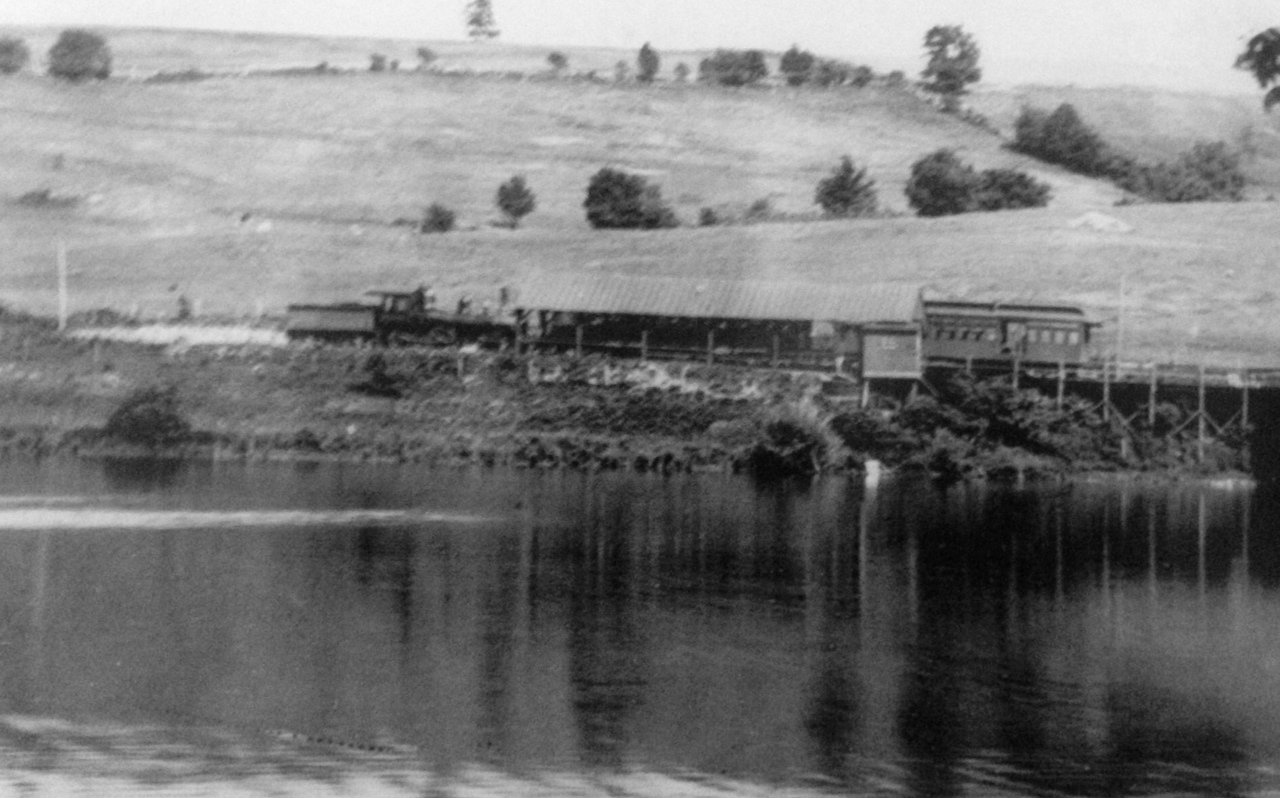
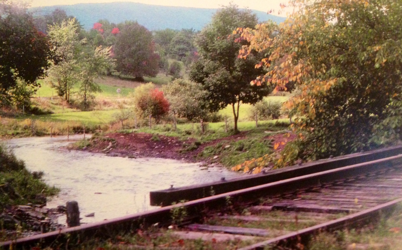
The South Gilboa Station opened in November, 1908, "ending a controversy lasting over thirty years based on the question of the necessity of a station at this place and the choice of site." While it was operating, farmers shipped potatoes and milk out and carloads of corn were shipped in. Ben Mayham ground up the carloads of corn and sold it in the vicinity. The station remained open until April, 1932 as a result of the closing of the nearby Sheffield Farms Creamery. The structure, although worn by time and the weather, remains today. The South Gilboa Station is located near where Route 23 and South Gilboa Road meet today. It is reached after a short eastward walk down the Catskill Mountain Scenic Trail (the old railroad right-of-way) from where the trail meets South Gilboa Road.
| ||||||||||||||
|
Track Plan: | ||||||||||||||
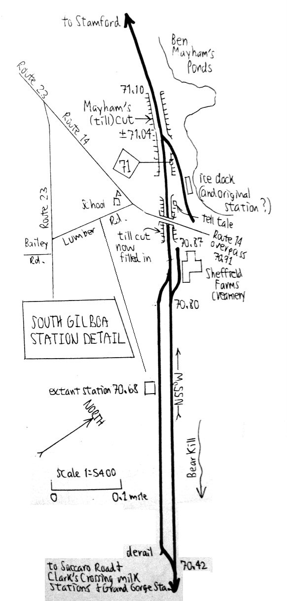
South Gilboa Station: Located about 1/4 east of the old South Gilboa Road overpass. Opened in November, 1908. Closed in April, 1932. Still standing. Sidings: The passing siding located here was 2,019' long in 1908, held fifty 40' cars in 1924 and 1930, and forty-six 43' cars in 1935. The passing siding was later reduced to a stub-ended storage track measuring 1,139' long. Industries: The Sheffield Farms Creamery, with an accompanying stub siding, were located here. The stub had a derail 1908 through 1930. Overpass: The railroad was located in a till cut where South Gilboa Road (CR 14) crossed it with a wooden overpass. The cut has been filled in and the overpass eliminated. Ben Mayham's Pond: Before the days of refrigeration the U&D harvested ice here in the winter months. There was an ice loading dock located here, sometimes referred to as the original South Gilboa passenger station although true evidence of this is not concrete. The ice dock had its own stub ended siding.
| ||||||||||||||
|
Train Time: | ||||||||||||||
| ||||||||||||||
|
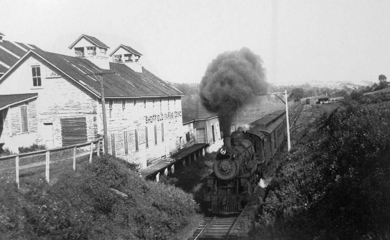
Railroad Customer: Sheffield Farms Creamery | ||||||||||||||
In 1897 the Catskill Mountain Creamery was built here and remained in operation until 1905. Sheffield Farms broke ground on a new creamery that year and their plant was in operation until 1932. At one time there were over twenty people employed here. As the building was being torn down, after its closure, it caught fire and burned. Robert Cowan of Hobart was in charge of the deconstruction. | ||||||||||||||
|
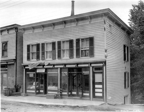
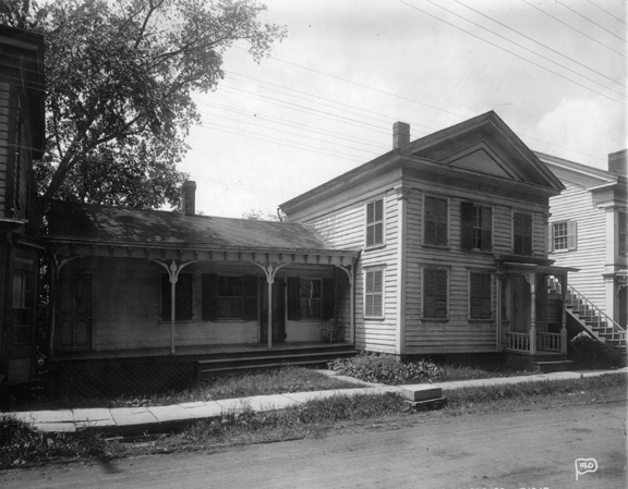
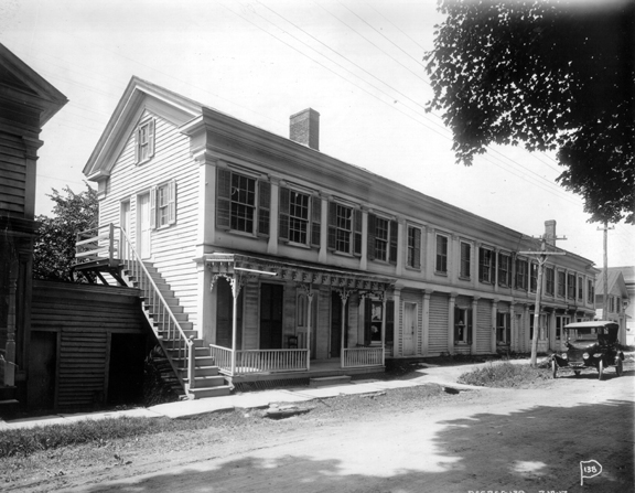
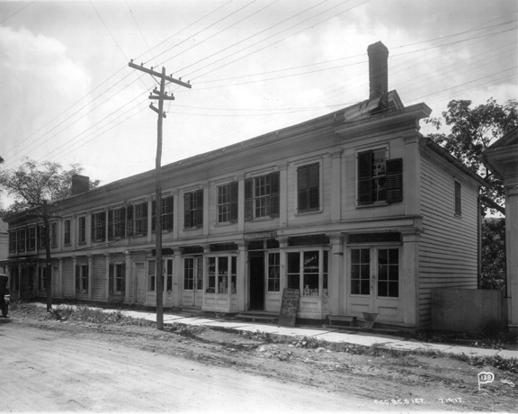
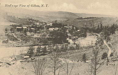
Images of a Village: The Village of | ||||||||||||||
|
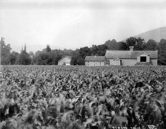
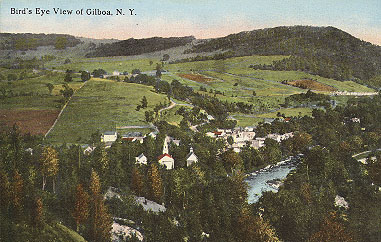
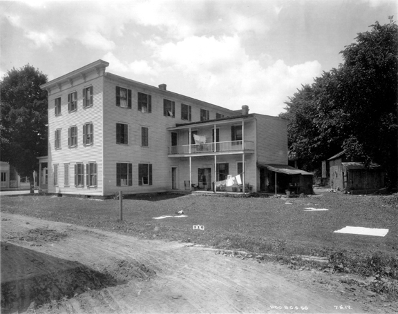
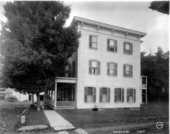
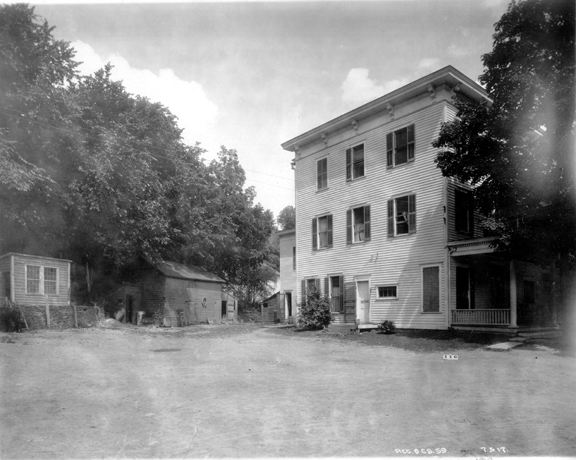
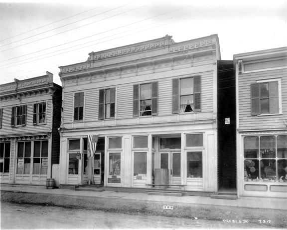
The Hamlet of South Gilboa is located within the Town of Gilboa, which in turn has many little hamlets and villages located within it. The largest and central village was simply called Gilboa and was located in a vale along the Schoharie Creek. Like the villages and hamlets along the Esopus Creek that were lost to the Ashokan Reservoir, Gilboa too was lost. In 1917 construction began on the Gilboa Dam and the Schoharie Reservoir, the northern most of New York City's drinking water reservoirs. The dam was first impounded in July, 1926, the village had been destroyed by fire by then. Although the Ulster & Delaware Railroad didn't enter Gilboa proper, the little village in its day generated a number of goods and attracted visitors to its hotels and boarding houses. Residents of Gilboa could use either the station at Grand Gorge, on the other side of Mount Davis, or travel down along the South Gilboa Road to the South Gilboa Station for rail service.
|