Meadow Valley Washout & Derailment
Map Tour D
The stars and corresponding numbers indicate the approx location of the plane when the picture was taken with the arrows pointing in the general direction of the photo. Not all stars have arrows that point and this generally means that a close up photo was taken in the same direction as the others near it. Just look at the photos and you'll get it... :o)
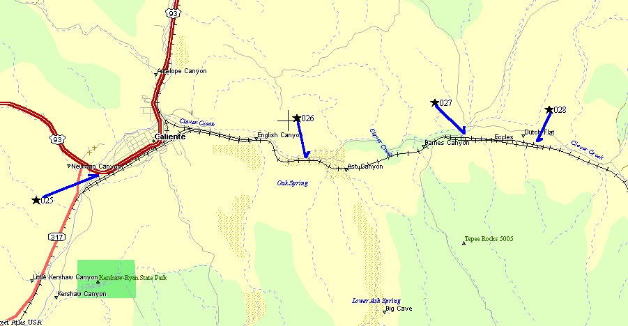
Thumbnail Pictures lead to image 900 x 600 pixels
Dial up user warning - Full Sized link below thumbnail lead to a 3000 x 2000 pixel image & average 1 meg each
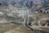 #25 #25 |
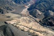 #26 #26 |
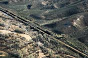 #27 #27 |
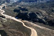 #28 #28 |
| Full Size #25 | Full Size #26 | Full Size #27 | Full Size #28 |