


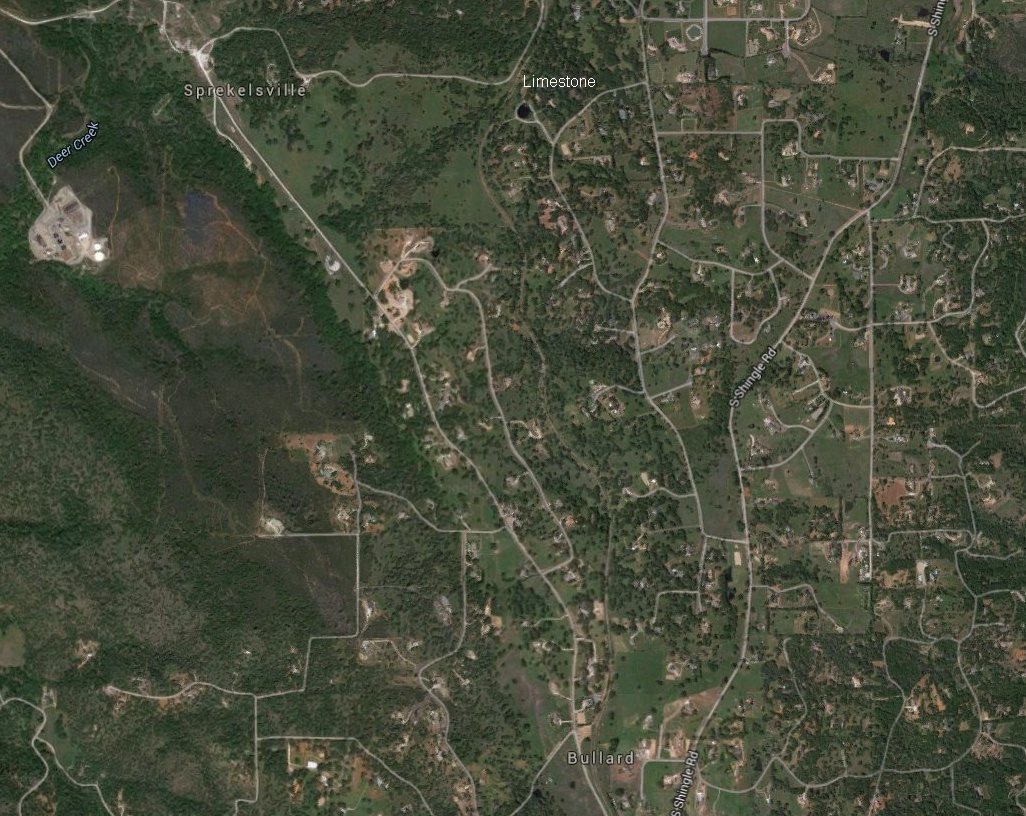
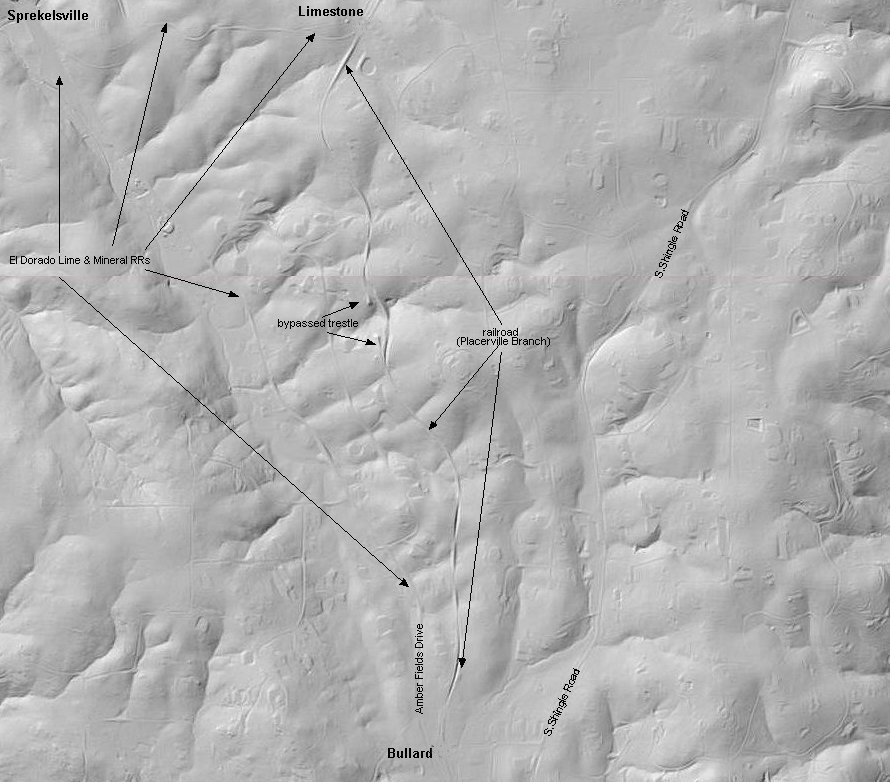
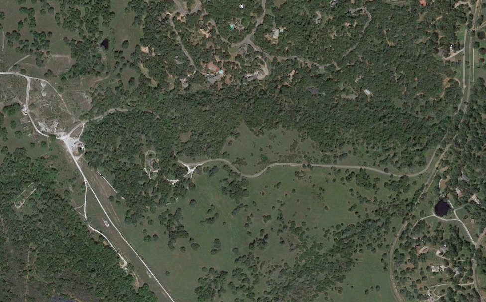
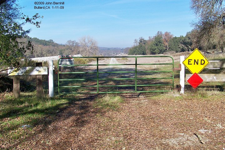
Started as a narrow gauge feeder line for the Placerville & Sacramento Valley RR (SP Placerville Branch), the El Dorado Lime & Mineral Co, was approximately a mile long serving a limestone mine. At some point, the original alignment of the line was abandoned with a new line being built from a new location. Later on, Southern Pacific standard guaged this second line and operated it until the mid 1980's with the rail removed shortly thereafter. Currently both right-of-ways are now roads, one still entering the mine property, the other provides the main street for another of the foothills gated communities and access can prove difficult.
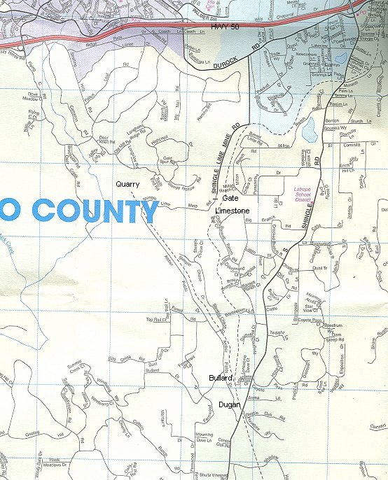 street map |
 topo map |
 satellite view |
 lidar image |
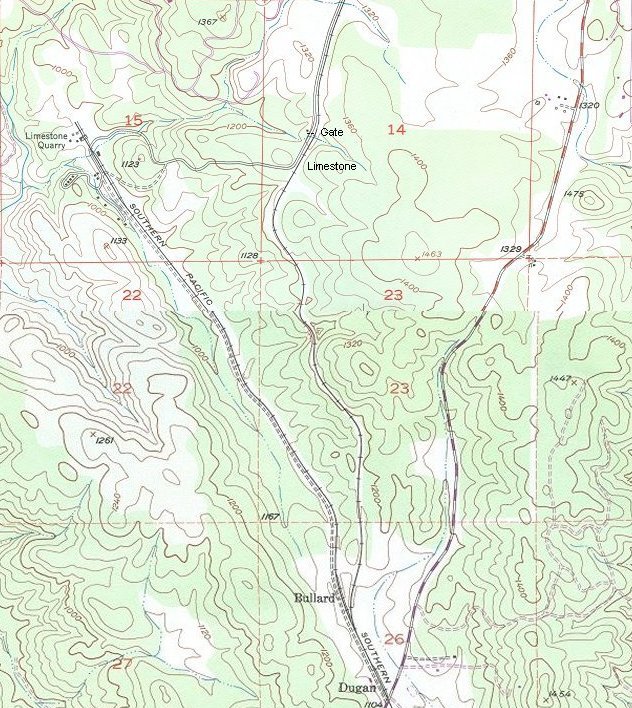
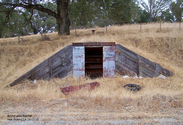
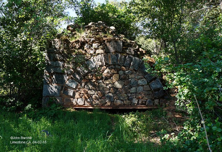
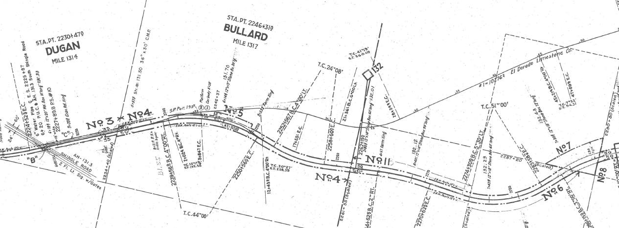
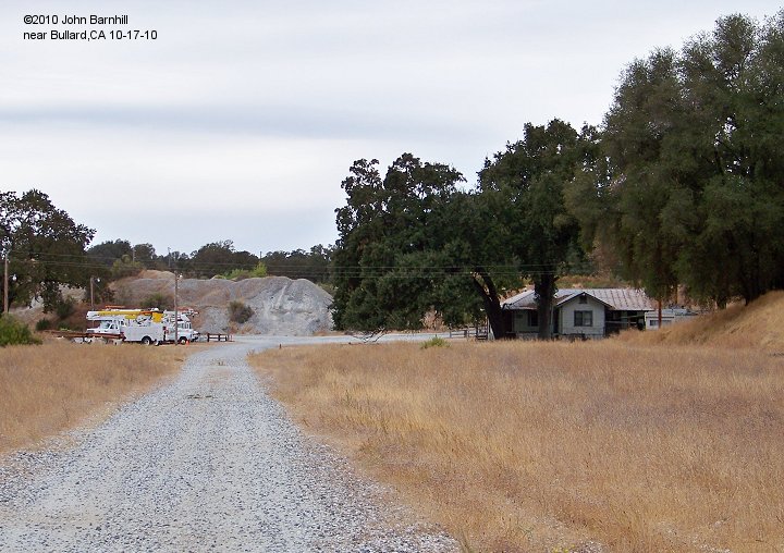
The El Dorado Limestone mine was an underground operation, three miles southwest of Shingle Springs. From it was produced high-calcium (97 percent plus) limestone for various uses including the manufacture of lime, steel and glass, beet-sugar refining and construction materials. Prior to the opening of the mine by the El Dorado Lime and Minerals company in 1918, limestone was quarried just north of the mine and burned in nearby stone lime kilns for building purposes. In 1931, the El Dorado Limestone Company was formed and operated the mine until it closed. The deposit consists of two lenses of limestone, one averaging sixty feet in width, the other forty feet. The main working entry is a 1000 foot, three compartment vertical shaft near the east wall of the east lens. Crosscuts extend from the shaft to the west lens. The deepest workings were at the 800 foot level. Because the material is solid, no timbering is required. In the 1970s mining ceased and the shaft was allowed to flood with water. The crushing equipment on the surface continued to be used for several years, the limestone coming from the Gallo Glass mining operations at Marble Valley, to the west.
1. | 2.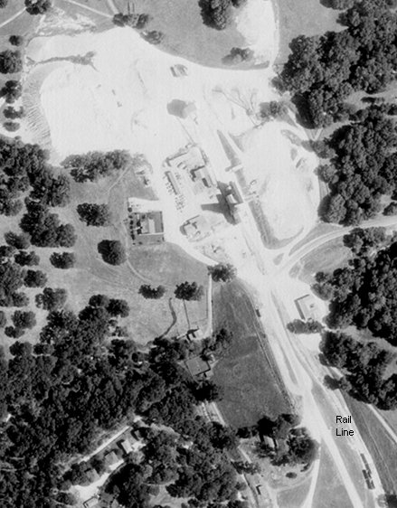 | 3.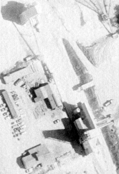 |
4. |
5. |
6. |
7. |
8. |
9.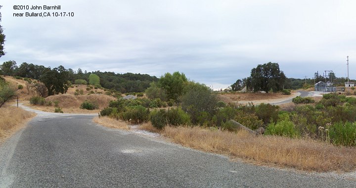 |
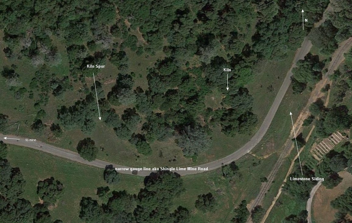
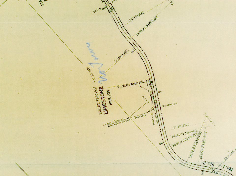
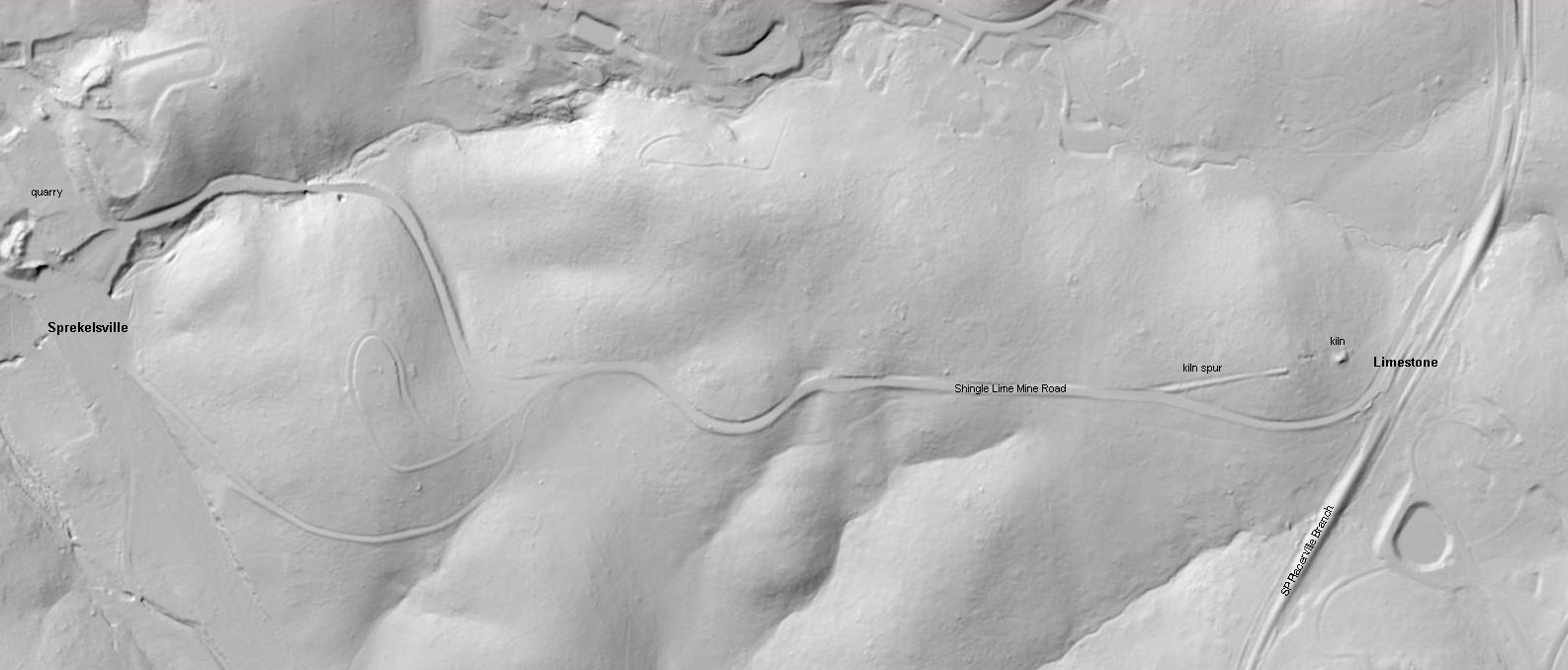
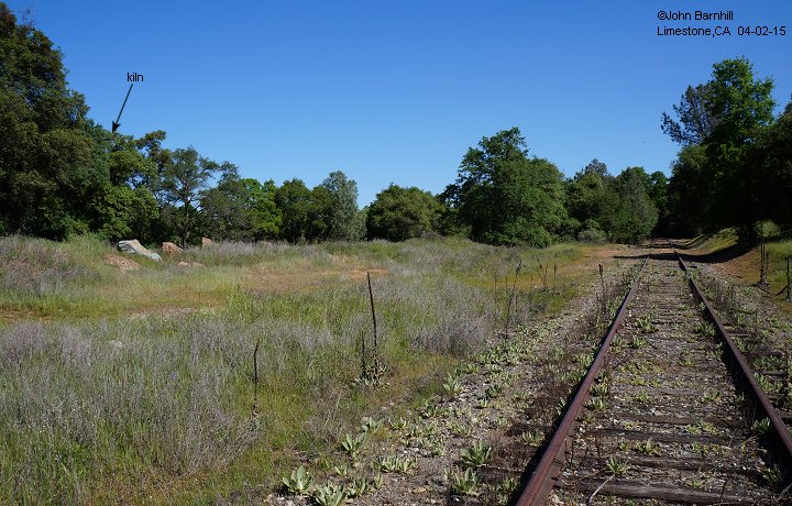
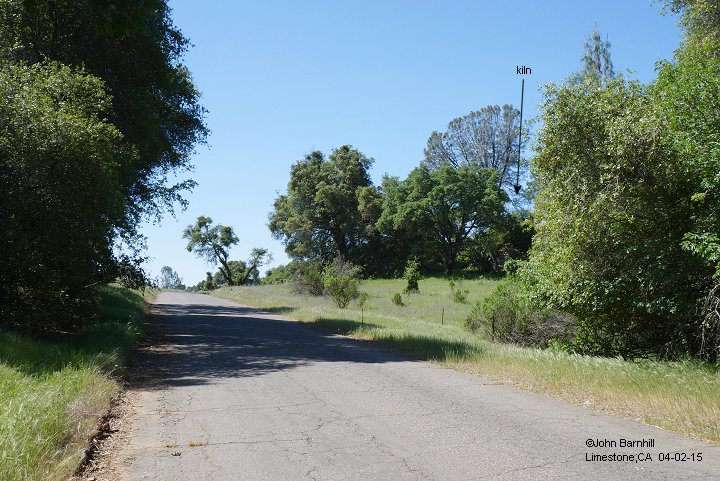
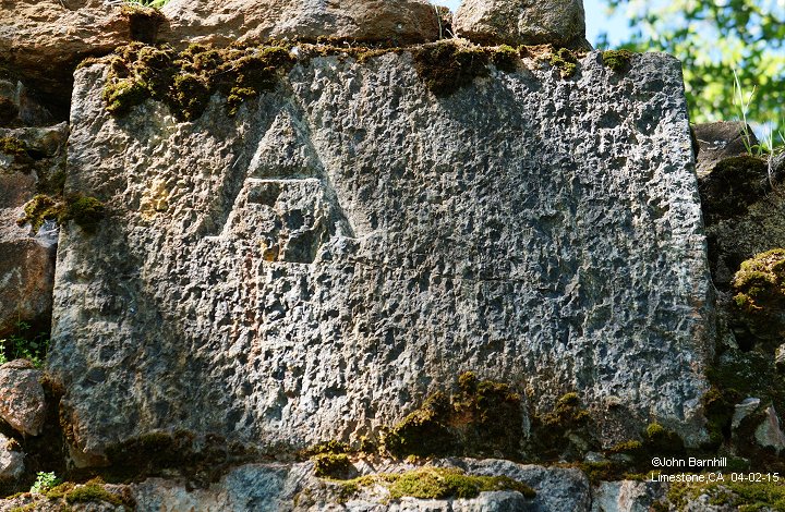
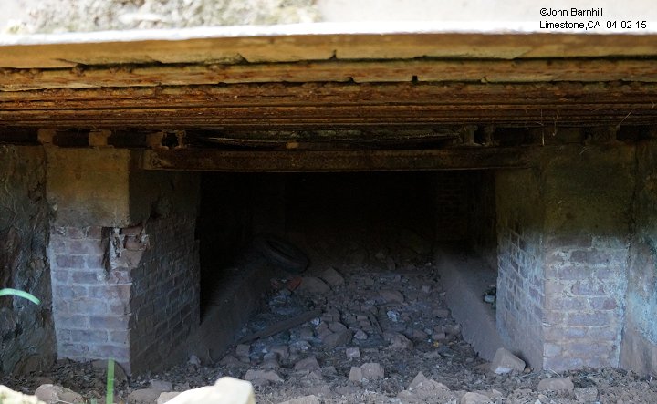
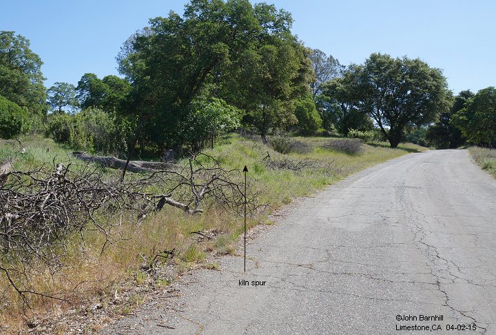
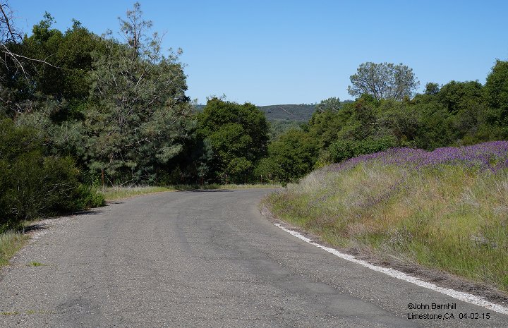
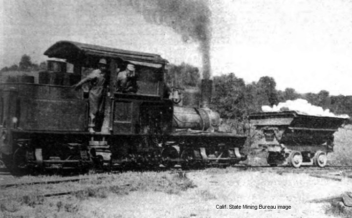
The original narrow gauge line interchanged with the Placerville Branch at Limestone. Here there was a spur, lime kiln, warehouse, and more. Located where Shingle Lime Mine Road turns due west away from the standard gauge, the road itself was once the right of way. This route can be very steep in places but two shay locomotives were employed to bring the loads up the the hill.
1. |
2. |
3. |
4. |
5. |
6. |
7. |
8. |
9. |
10. |
11. |
12. |
13. |
14. |
15. |
16. |
17. |
18.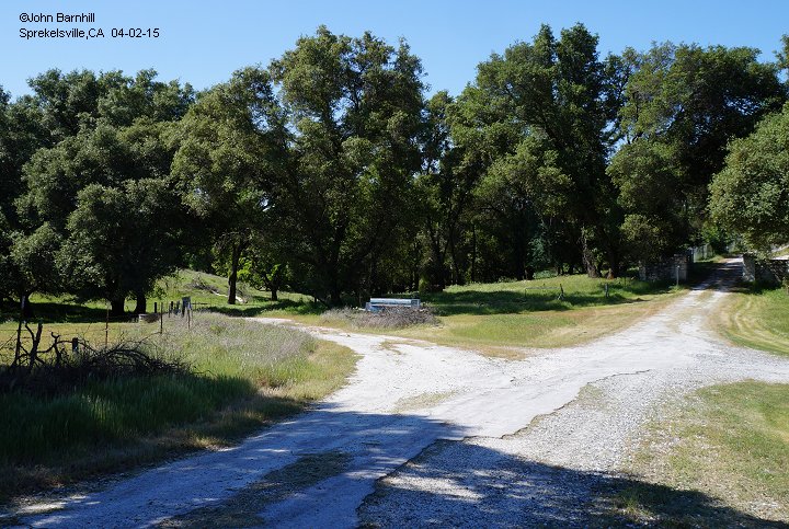 |
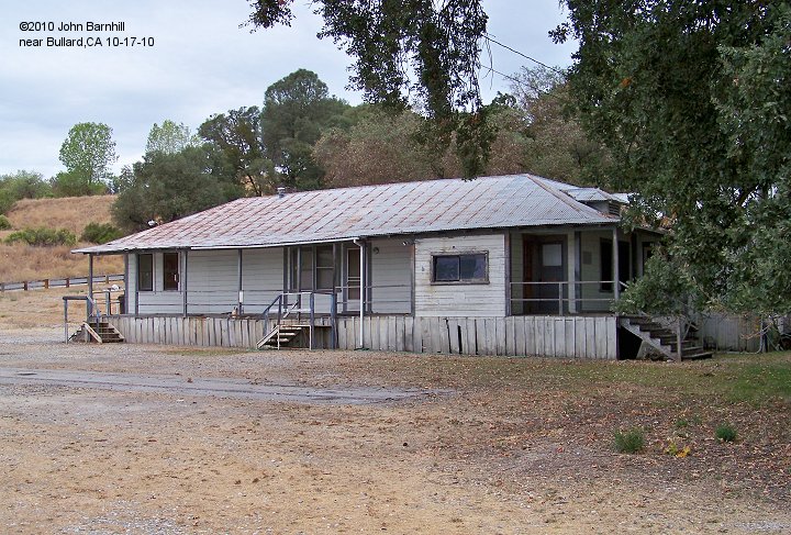
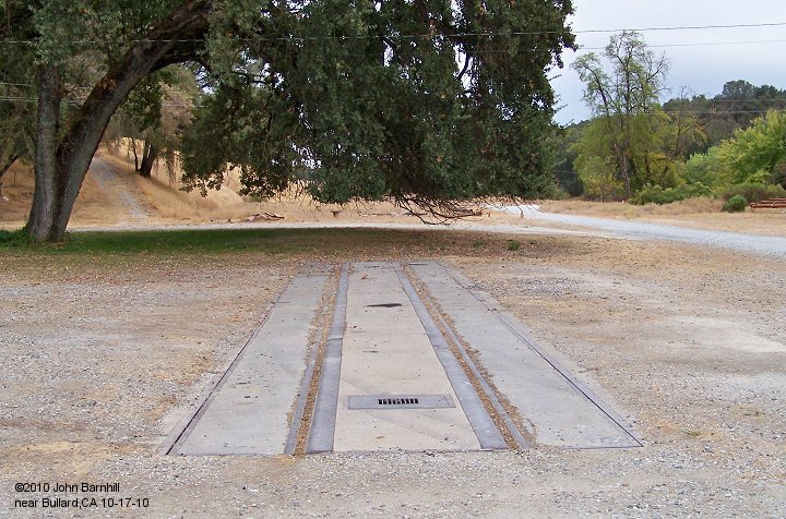
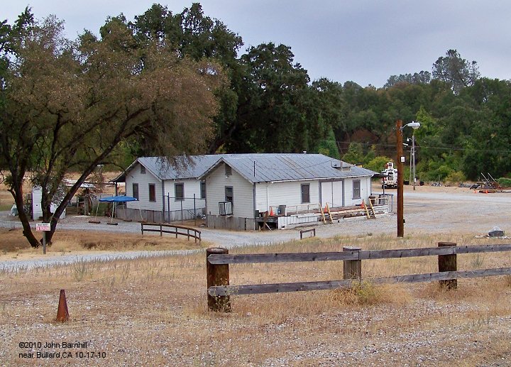
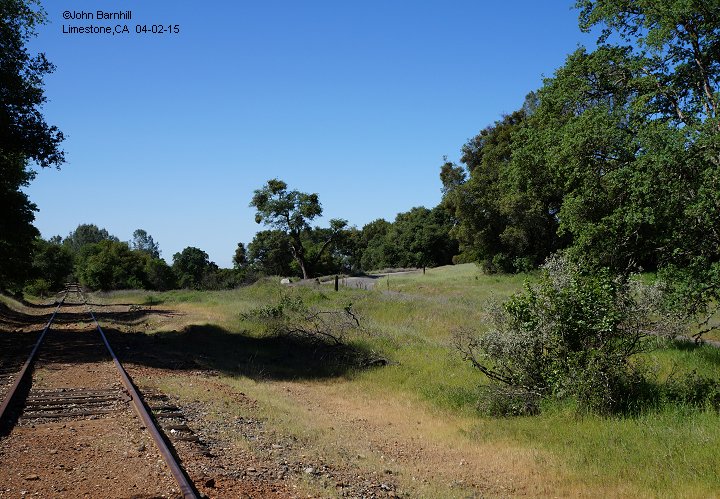
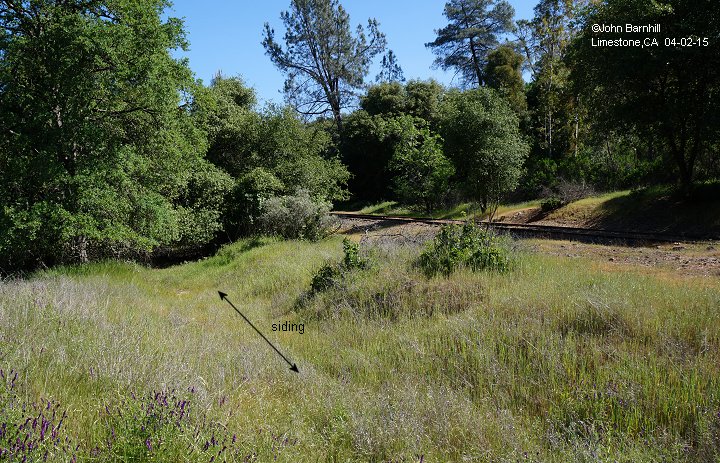
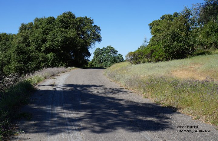
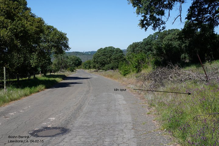
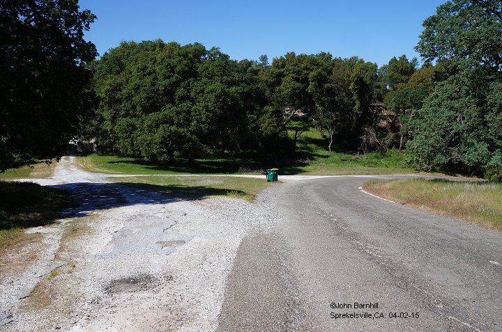
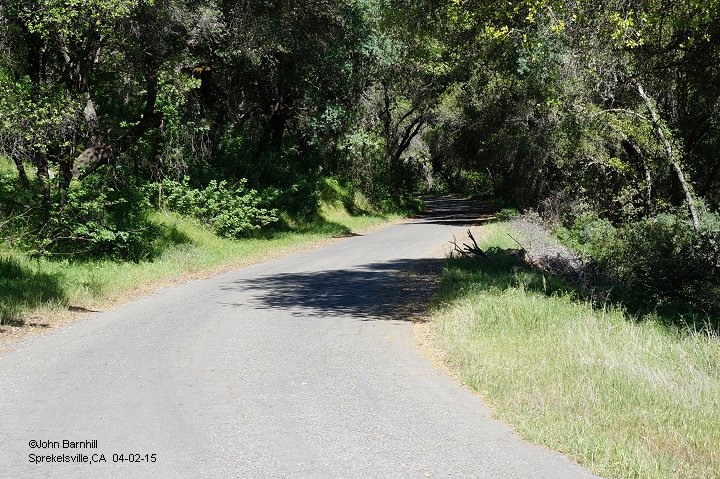
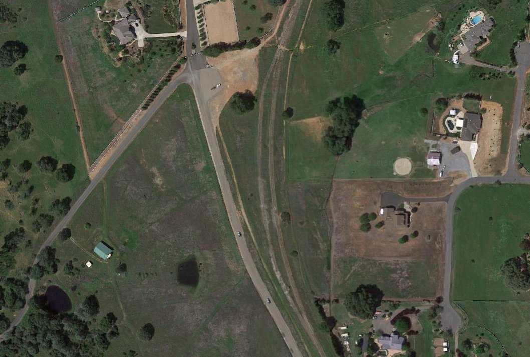
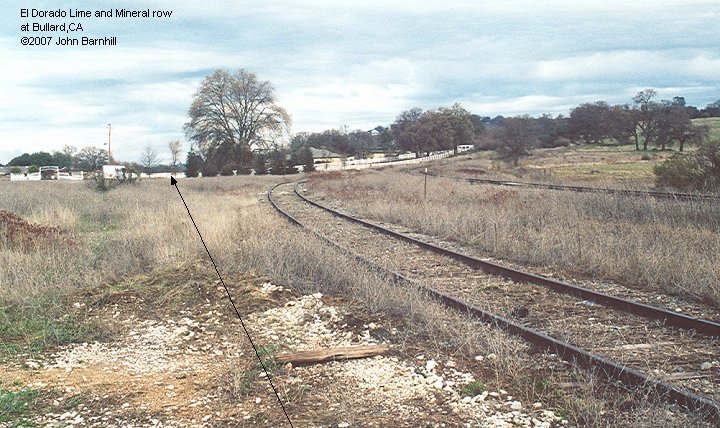
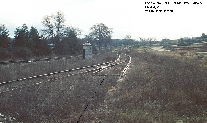
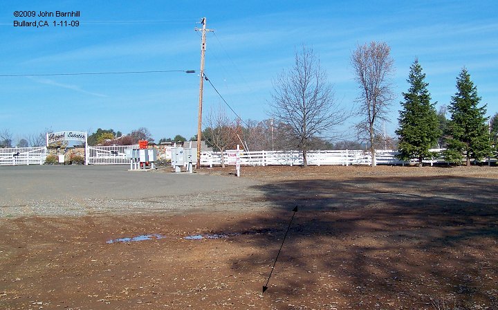
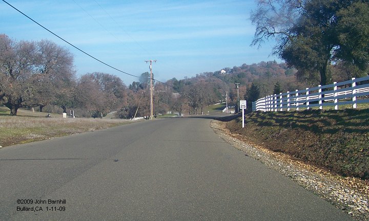
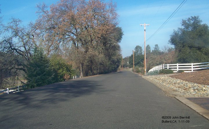
In later years of the operation, the original line was abandoned to become a paved road, Shingle Lime Mine Road. A new line with a much more flat profile was built northward from Bullard on the Placerville Branch. It is unclear what year this took place and also whether this line was also narrow gauge. At some point though, the Southern Pacific Railroad took over this line and did the switching for the mine. Sometime after the closing of the mine, much of this second railroad became the road Amber Fields Drive.
1. |
2. |
1. |
2. |
3. |
4. |
5. |
6. |
7. |
8. |
| Number | Type | Builder | Bldr.# | Built | History & Notes | Dispositon |
| #1 | Shay 2tr | Lima | #1785 | 1906 | lease from US Bureau of Reclamation, ex Standard Lmbr (S.Fork Mill), nee Union Construction #1 (Stanislaus Ry) |
scrapped |
| #2 | Shay 2tr | Lima | #1823 | 1907 | lease from Bureau of Reclamation, ex Cazadero Lmbr #1, nee DH McEwen Lmbr #1 |
scrapped |
| No# | DL-2 | Plymouth | #1565 | 1930 | deliv as 36" gauge, later standard gauged | |
| No# | DLH | Plymouth | #3524 | 1930 | ex HT Neal Machinery, nee Stone & Webster Engineering Corp |
retired 1970 |
| No# | ML3 | Plymouth | #4156 | 1941 | ex A Teichert & Sons, ex USATC #7689, nee Quartermaster Corps #2038 |
to private owner, Folsom,CA, to Olney Land & Cattle as display, Maxwell,CA, to San Luis Obispo Railroad Museum |


