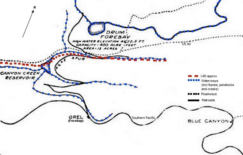
 "Stick Map" |
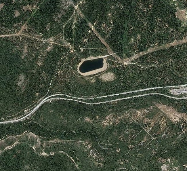 Aerial View |
Between 1912 and 1913, Pacific Gas & Electric completed their Spaulding-Drum project. This was a series
of resevoirs, canals, penstocks, powerhouses, and powerlines to provide both water
and electricity to Northern
California. A small section of this project was the Drum Forebay, Drum Penstock, and Drum Powerhouse.
To bring in supplies and materials for this section, PG & E utilized some new construction railroad and part
of a re-vitalized Towle Bros Railroad starting at the old Southern Pacific
station of Orel, now named Forebay on
modern maps, to the site of the penstock just below the forebay. I call this line the "Drum RR" for lack of a better term.
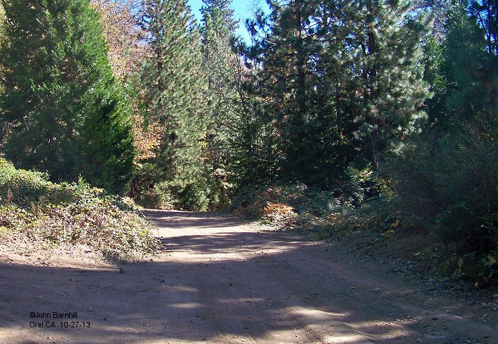
The following series of photos starts at the eastbound lanes of I-80, approximately across from the old Towle
Brothers Kearsarge Mill ruins, and heads south to Orel on the Southern Pacific.
This was all new construction by
PG & E.
1. |
2. |
3. |
4. |
5. |
6. |
7. |
8. |
9. |
10. |
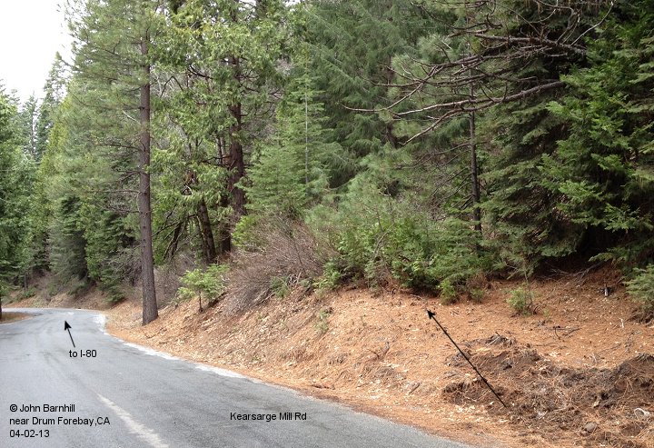
At image #6 the line nears Kearsarge Mill Road. Image #7 looks back from the intersection of Kearsarge Mill Rd,
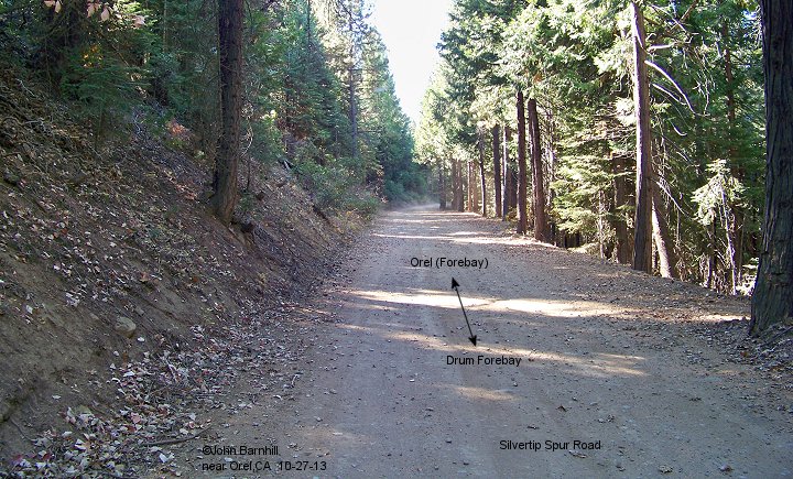
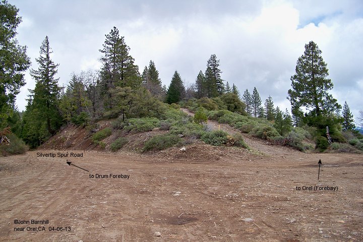
Silvertip Spur Rd, and the rail line. The roadbed continues along Silvertip Spur Rd towards Orel in image #8 and beyond.
11. |
12. |
13. |
14. |
15. |
16. |
17.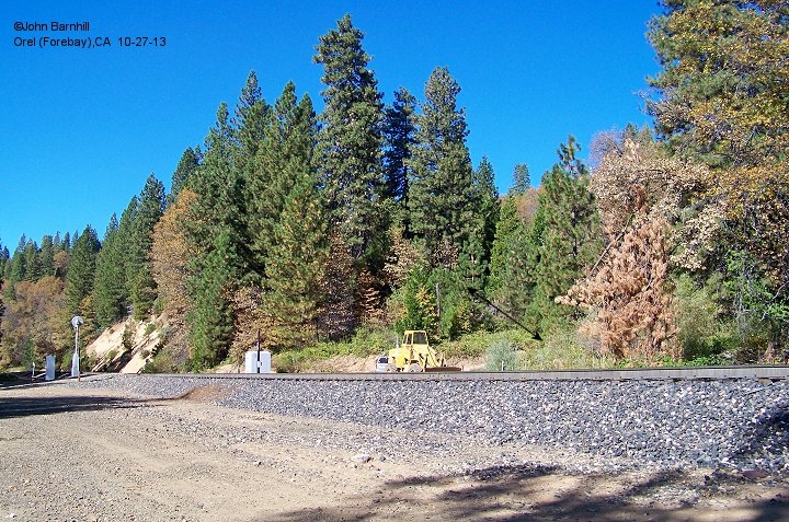 |
The arrows in image #17 show the approximate placement of the PG & E line looking from the location of Orel.
1. |
2. |
3. |
4. |
5. |
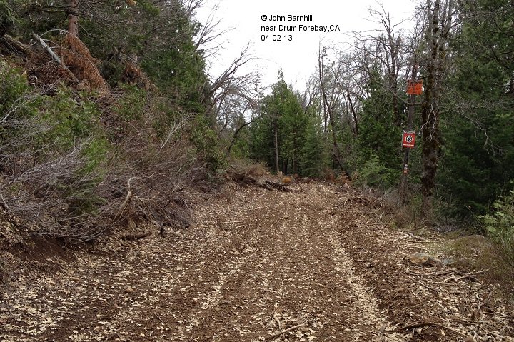
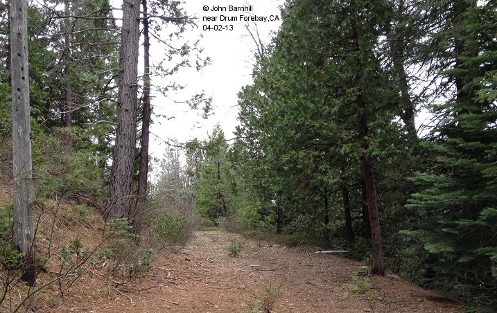
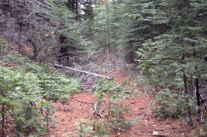
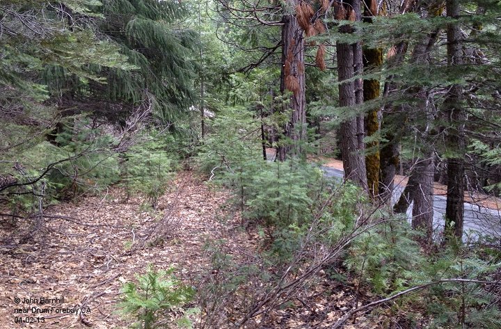
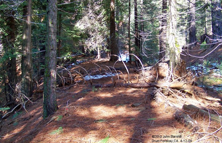
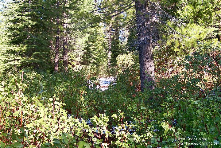
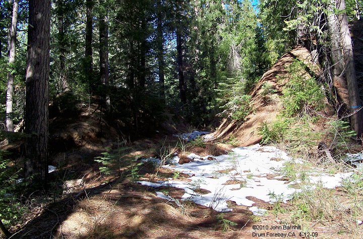
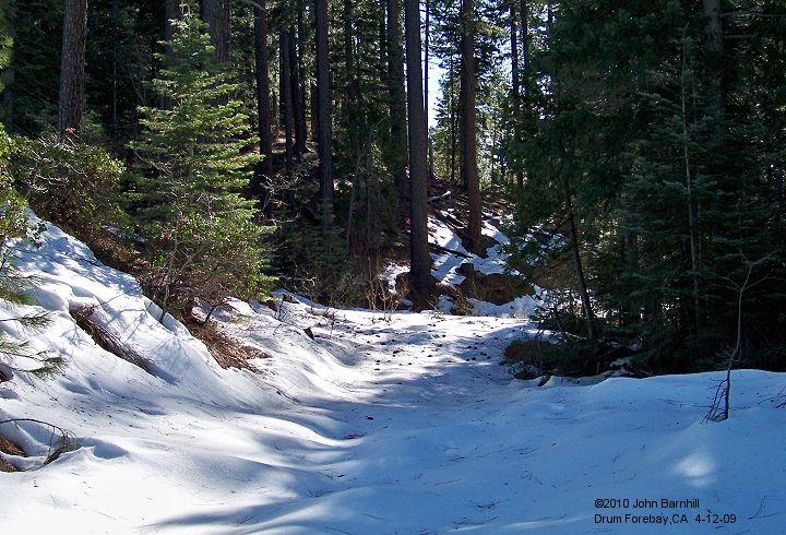
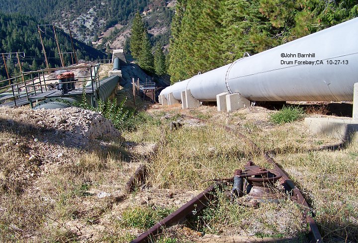
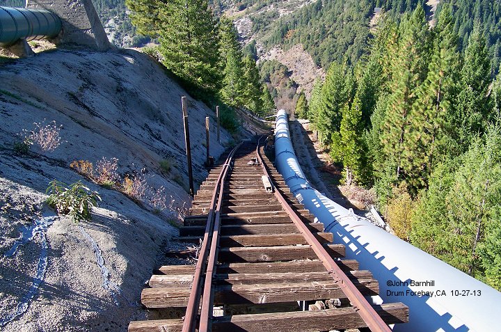
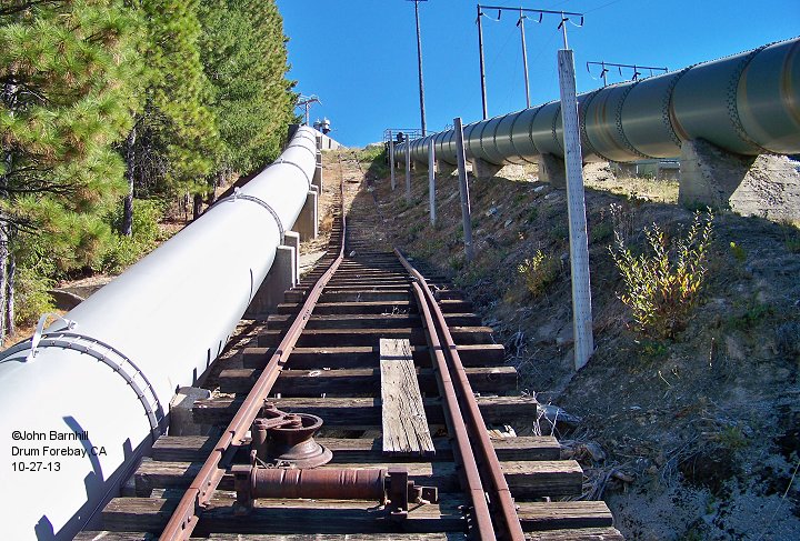
This section runs from within eyesight of I-80 just above Drum Forebay and Culberson Roads up to the first penstock.
Image #4 looks back from the penstock. Did PG & E extend their
railroad out to the end of the ridge above the powerhouse as
suggested by the arrows in image #5? Inspection does find a grade through there but I haven't been able to explore this possibility.
See also my Towle Brothers RR page.
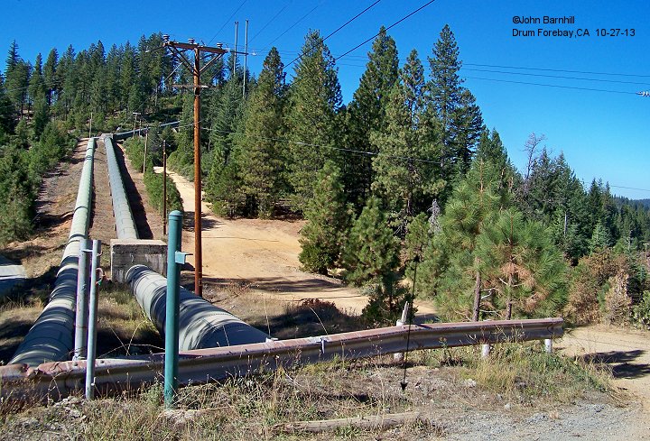
At the end of the ridge above the powerhouse, the penstock drops straight down into the canyon. To facilitate construction,
a tramway was used to lower pipe sections and equipment.
1. |
2. |
3. |
4. |
5.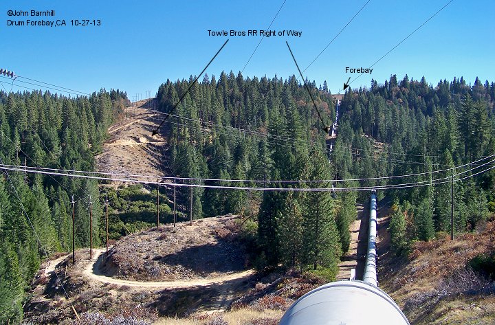 |
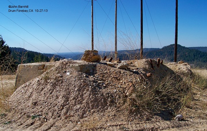
Image #1 is the foundation for the tramway cable hoist building. Image #2 looks from the top down the tramway. Images #3 and 4
are taken from partway down the tram line. Image #5 looks back across the ridge from the hoist building to the forebay site.