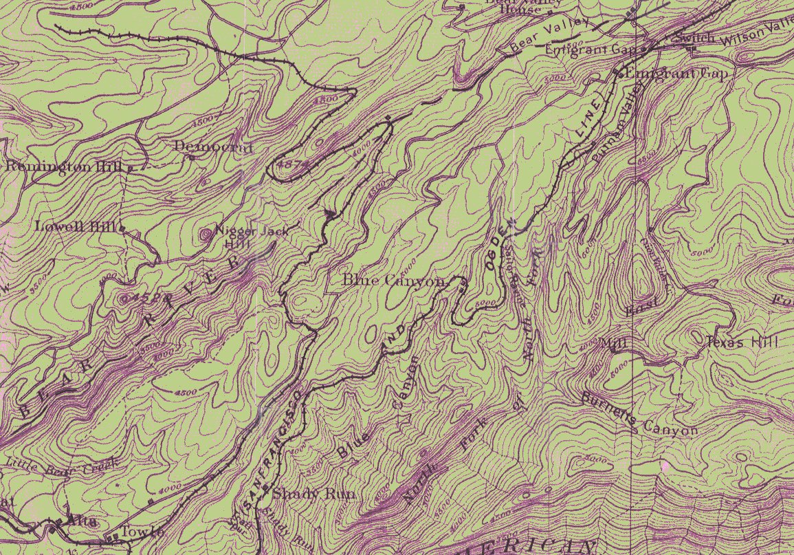
| Equipment Roster |
| Number |
Type |
Builder |
Bldr.# |
Built |
History & Notes |
Dispositon |
| #1 |
0-4-0ST |
Porter |
#268 |
1877 |
|
to Read Lmbr;
to Lake Valley Lmbr |
| #2 |
0-4-0ST & T |
Porter |
#291 |
1878 |
|
to Read Lumber #23;
to Lake Valley Lmbr |
| #3 |
0-4-0ST |
Porter |
#453 |
1881 |
ex Lyon Mill & Mining #2 Fred |
to Booth & Co;
to Read Lmbr;
to Lake Valley Lmbr |
| #4 |
0-4-0ST |
Porter |
#633 |
1884 |
|
to Read Lmbr;
to Lake Valley Lmbr |
| #5 |
0-4-2T & T |
Porter |
#1238 |
1891 |
|
to Read Lmbr;
to Lake Valley Lmbr, 11-1920 |
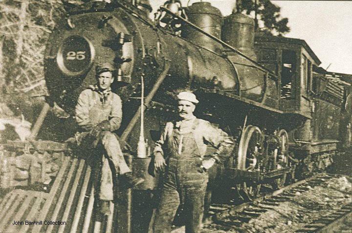
| #25 |
4-4-0 |
Rhode Island |
#2173 |
1889 |
ex Virginia & Truckee #25:1,
nee Union Pacific #655 |
to American Fruit Express,
scrapped 1937 |
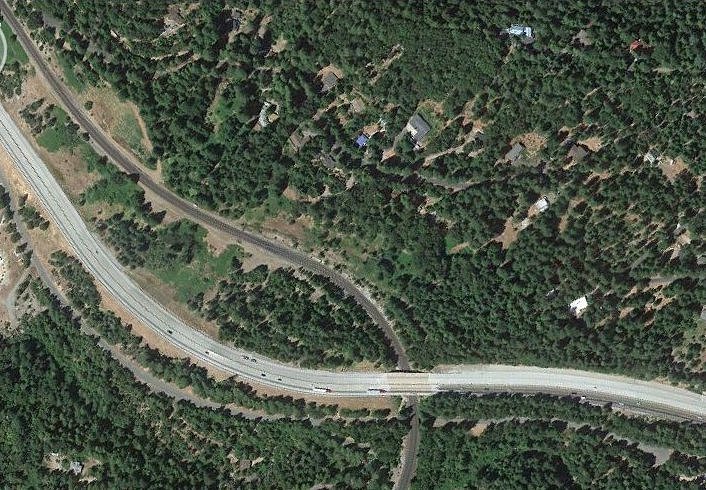
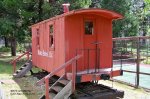
| caboose |
|
|
|
|
|
display Dutch Flat,CA |
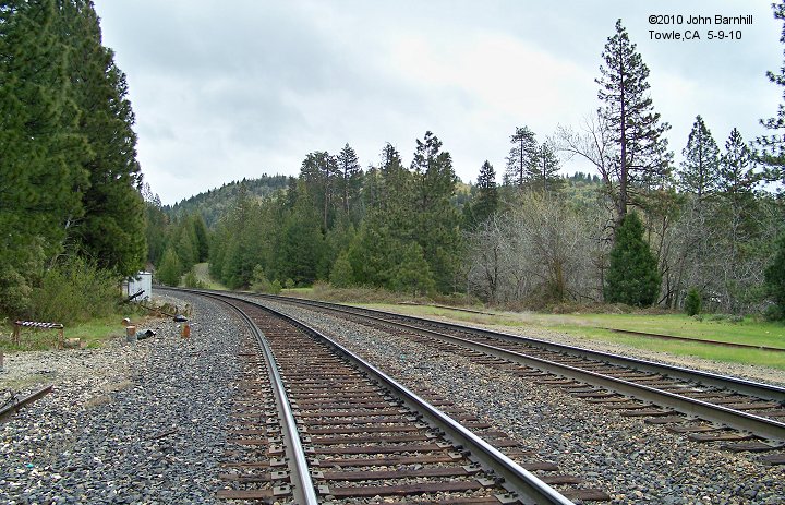
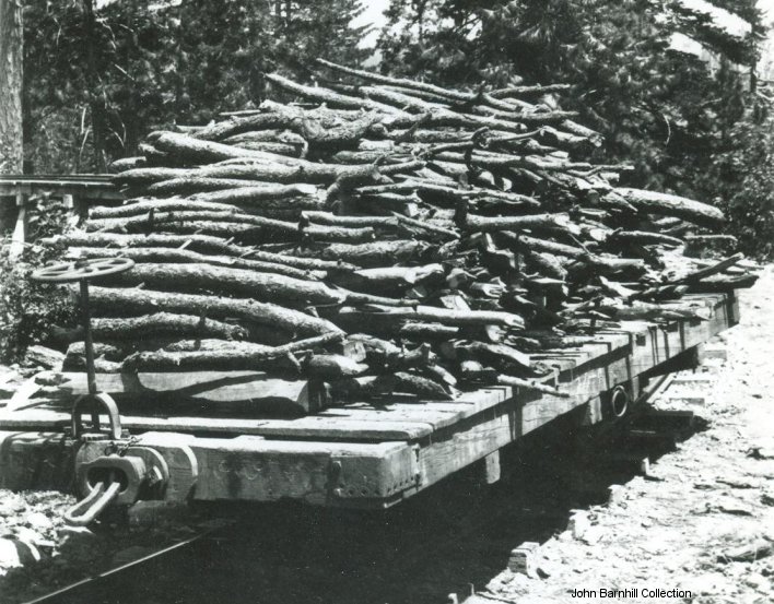
| flat car |
|
|
|
|
|
|


