TrainWeb.org Facebook Page
B&O Alexandria Branch Photo Tour


B&O Alexandria Branch
Modern day photo tour

Accompanying each photo below are:

Click a photo to see a larger view. Please send your comments and corrections to Steve.


<< Previous (main line at Riverdale) | THIS PAGE: Hyattsville to Cheverly | Next (southwest) >>

Brief Historical Background: B&O Alexandria Branch

JD Tower
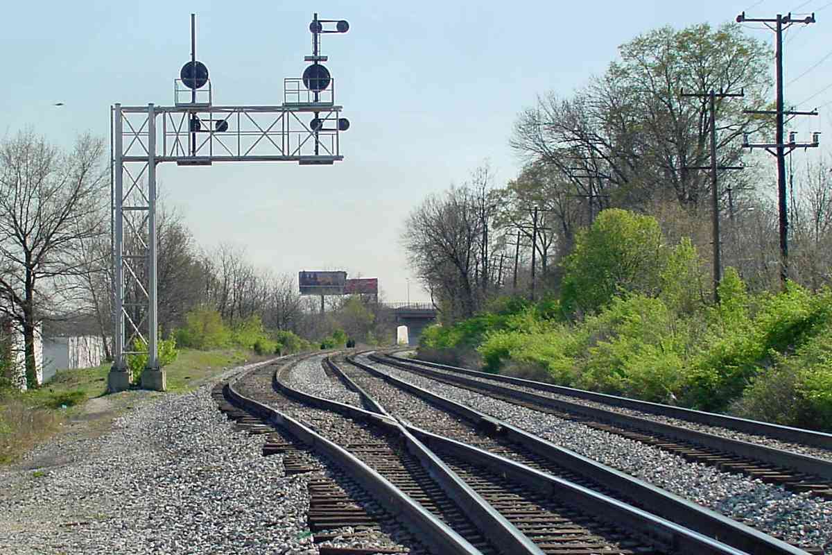
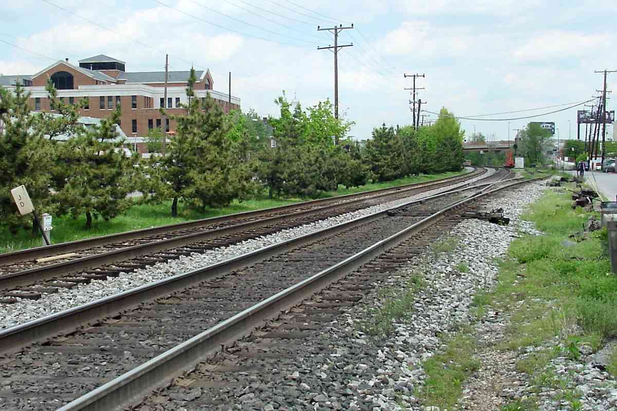
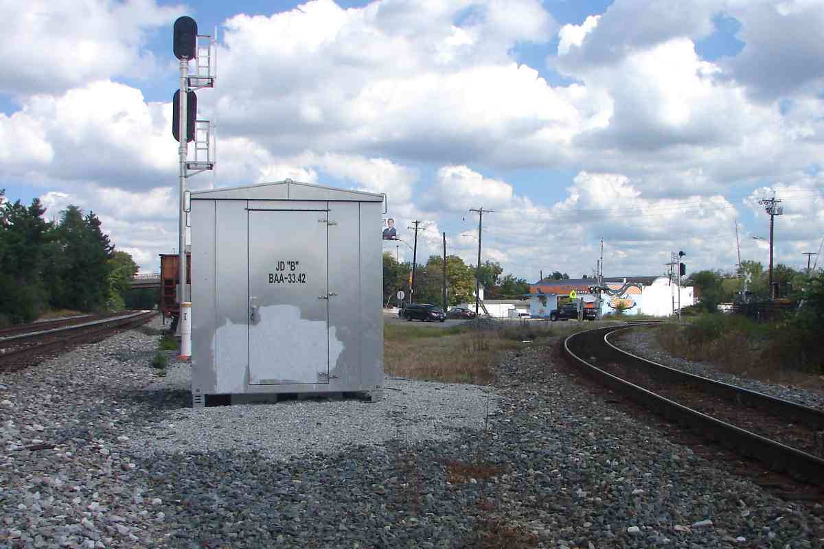
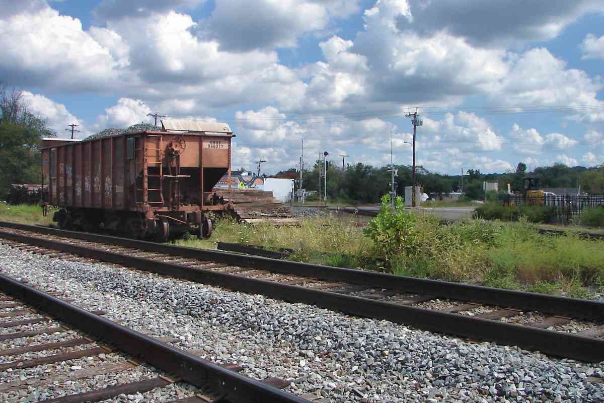
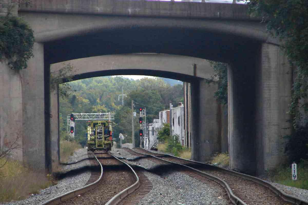
Photo credit Don Smith

JD Tower
Mile: 32.5 Date: 1988
Ease: A View: S
Area: B+ IC2: 322
Map: PG 12 E 2 Topographic Maps

Until torn down in 1994, B&O's JD Tower had stood in Hyattsville at the northern limit of the Alexandria Branch wye with the main line. This view looks south (railroad west) from Queensbury Road in Riverdale. Note the extra arm left of the left CPL signal; that was called a doll post, and it reminded train operators of a non-standard signal application there.


Alexandria Junction

Alexandria Junction
Mile: 32.8 Date: Apr 2004
Ease: A- View: SW
Area: C IC2: 179
Map: PG 12 D 4 Topographic Maps

JD Tower had been on the left. The leftmost track leads to the Alexandria Branch. A wye exists ahead.

By 2004 CSX was transitioning from CPLs to their new inline signals. This was one of the few places at which the post for the new signals was installed, but old signals were re-mounted and kept a bit longer.

The utility poles are the right trace a former trolley route.

Change for: trolley tour at this site


Grade Separation
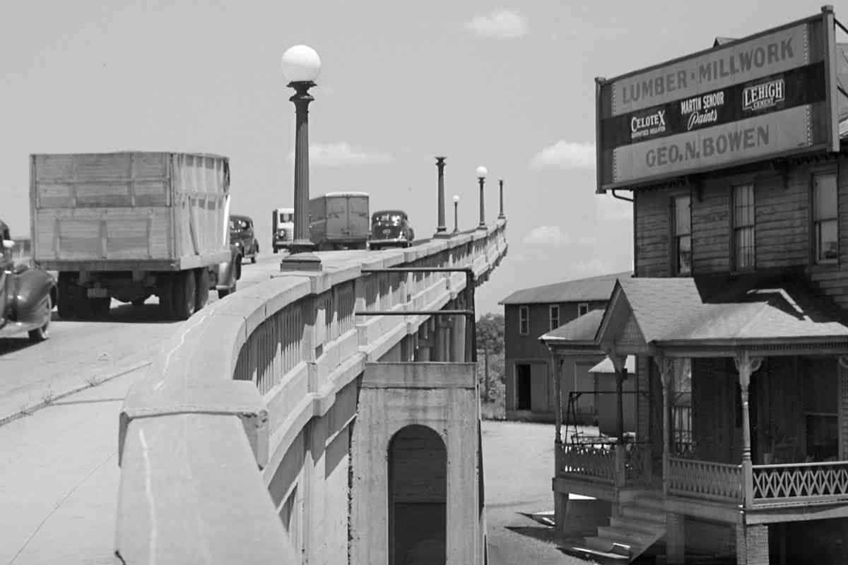
Photos courtesy Library of Congress

Grade Separation
Mile: 33.3 Date: Jun 1940
Ease: B+ View: N
Area: C+ IC2: 394
Map: PG 12 D 4 Topographic Maps

This 1930s-built bridge was awkwardly squeezed within the Alexandria Branch's wye into order to grade separate the intersections of Rhode Island Avenue, Baltimore Avenue, and Decatur Street. A utility pole of the Alexandria Branch wye is visible at ground level of distant center. The bridge was replaced with a newer version during 1988.

The George Bowen Quality Building Materials building lasted into 1990s, remodeled into a brick exterior structure of Associated Builders. Bowen (1892-1941) was a president of the University Park Company that subdivided land along US 1 in the College Park area.

Link: LoC source photo


Rocks

Rocks
Mile: 33.3 Date: Sep 2017
Ease: A- View: N
Area: C+ IC2:
Map: PG 12 D 4 Topographic Maps

That's the newer grade-separation bridge at top. Track reballasting supplies were being pushed onto the Alexandria Branch...


CSX 593

CSX 593
Mile: 33.3 Date: Sep 2017
Ease: A- View: NE
Area: C+ IC2:
Map: PG 12 D 4 Topographic Maps

... by CSX 593 and CSX 389.


Southwest Leg

Southwest Leg
Mile: 33.6 Date: Apr 2004
Ease: A View: NE
Area: B- IC2:
Map: PG 12 D 5 Topographic Maps

For this view we've jumped southwest along the main line to the other leg of the wye. According to topographical maps, this leg of the wye was added decades after the other. Note the JD sign at left.


JDB

JDB
Mile: 33.4 Date: Sep 2017
Ease: B+ View: NE
Area: C+ IC2:
Map: PG 12 D 5 Topographic Maps

JD Tower may be gone, but its name lives on. The main is on the left, Alexandria Branch wye on the right.

Link: B&O 5040 1948


Sitting Rocks

Sitting Rocks
Mile: 33.4 BAA Date: Sep 2017
Ease: B+ View: E
Area: C+ IC2:
Map: PG 12 D 5 Topographic Maps

During the 2010s CSX rebuilt stretches of the Alexandria Branch, double tracking it in places. Lots of reballasting was needed, and this hopper of leftover rocks sat here unmoved for over 2 years.

The hopper is resting on what's left of track that had served the B&O's Hyattsville Station, which had stood behind the hopper.


Hyattsville Station
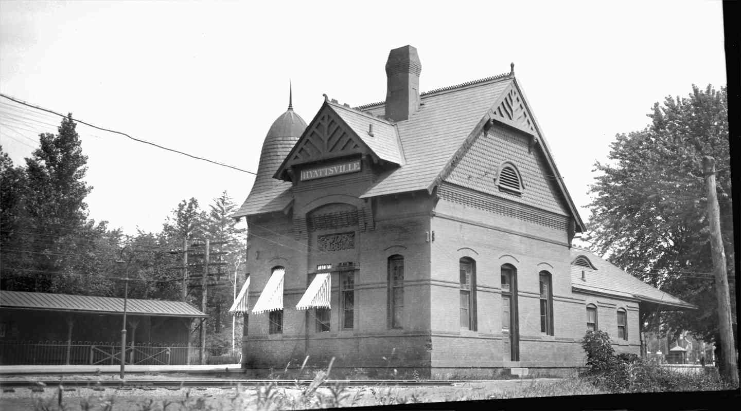
Photo credit B&O Museum

Hyattsville Station
Mile: 121.0 CFP Date: ~1920
Ease: A View: N
Area: C+ IC2: 157
Map: PG 12 D 5 Topographic Maps

This 1884 version was the B&O's largest station between Baltimore and Washington. The area is named for Christopher Hyatt who in 1865 established a store in this vicinity. The station endured into the 1950s, a smaller storage building endured adjacent into the 1980s.

Links: 1940s, Maryland Historical Trust (PDF)


Station 2017

Station 2017
Mile: 121.0 Date: Sep 2017
Ease: A View: N
Area: C+ IC2:
Map: PG 12 D 5 Topographic Maps

The modern view of the same location finds little of the station except a concrete foundation and some stairs surrounded by weeds.


Baltimore Avenue

Baltimore Avenue
Mile: 121.0 Date: Sep 2017
Ease: A- View: E
Area: C+ IC2:
Map: PG 12 D 5 Topographic Maps

The southwest leg meets Baltimore Avenue at grade...


Decatur Street

Decatur Street
Mile: 120.9 Date: Sep 2017
Ease: A View: NW
Area: C+ IC2:
Map: PG 12 D 5 Topographic Maps

... while the northeast leg meets Decatur Street at an awkward crossing.


Double Tracked

Double Tracked
Mile: 120.7 Date: Sep 2017
Ease: A- View: S
Area: B- IC2:
Map: PG 12 D 5 Topographic Maps

Deep zoom finds crossovers that were installed during the 2010s. In the foreground is a bridge over the Anacostia River.


Anacostia River 2003

Anacostia River 2003
Mile: 120.7 Date: Nov 2003
Ease: A- View: SW
Area: B- IC2:
Map: PG 12 D 5 Topographic Maps

Here's the bridge during its single-tracked, CPL-signalled days.

Link: 2006


Anacostia River 2017

Anacostia River 2017
Mile: 120.7 Date: Sep 2017
Ease: A View: SW
Area: B- IC2:
Map: PG 12 D 5 Topographic Maps

Though not easy to see in this view, CSX built an entirely separate single-tracked new bridge adjacent the old.

The post in the foreground is part of the Anacostia Riverwalk Trail.


Tanglewood Drive

Tanglewood Drive
Mile: 120.5 Date: Sep 2017
Ease: A- View: NW
Area: C+ IC2:
Map: PG 12 D 5 Topographic Maps

The Anacostia has been known to overflow its banks, hence high-mounted equipment boxes like this one at Tanglewood Drive.


Britt Bridge

Britt Bridge
Mile: 120.1 Date: Sep 2017
Ease: A View: E
Area: C+ IC2:
Map: PG 12 D 7 Topographic Maps

What had been a grade crossing with MD 450 was grade separated during the 2010s via the Gwendolyn Greene Britt bridge. Britt was a Maryland State Senator.


Festooned

Festooned
Mile: 119.1 Date: Sep 2017
Ease: A View: W
Area: C+ IC2:
Map: PG 12 D 9 Topographic Maps

stop stop South of the Britt bridge, several small grade crossings were allowed to continue, including this one that was double tracked around 2013.

Its signs seem to be trying to tell us something about stopping for trains.

Links: 1990s, 1990s


Not a Train

Not a Train
Mile: 119.1 Date: Sep 2017
Ease: A View: N
Area: C+ IC2:
Map: PG 12 D 9 Topographic Maps

Look, it's not a train, whew, no need to stop then.


CSX BR 201201

CSX BR 201201
Mile: 119.1 Date: Sep 2017
Ease: A View: NW
Area: C+ IC2:
Map: PG 12 D 9 Topographic Maps

br 201201 We stopped anyhow to watch various MoW units parade past the grade crossing.

BR stands for ballast regulator.


CSX MT 201401

CSX MT 201401
Mile: 119.1 Date: Sep 2017
Ease: A View: NW
Area: C+ IC2:
Map: PG 12 D 9 Topographic Maps

This is a Plasser American tamper...


GRM 3000

GRM 3000
Mile: 119.1 Date: Sep 2017
Ease: A View: S
Area: C+ IC2:
Map: PG 12 D 9 Topographic Maps

... model GRM 3000.


B-W Parkway

B-W Parkway
Mile: 119.1 Date: Sep 2017
Ease: A View: S
Area: C+ IC2:
Map: PG 12 D 9 Topographic Maps

Though this route was single tracked for decades, this 1950s-era B-W Parkway overpass left room for double track below, and the space was finally used by CSX during the 2010s. The more distant overpass carries a ramp to Kenilworth Avenue.


For branch upgrading photos (off-site links): Feb 2014, May 2014, Sep 2014, Nov 2014, Dec 2014, 2015

<< Previous (main line at Riverdale) | THIS PAGE: Hyattsville to Cheverly | Next (southwest) >>

Or, return to main page for other tours.

Copyright Notice