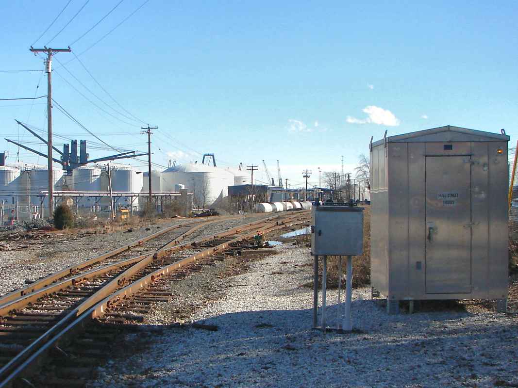
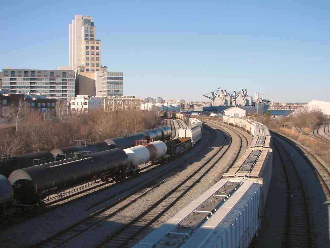
|
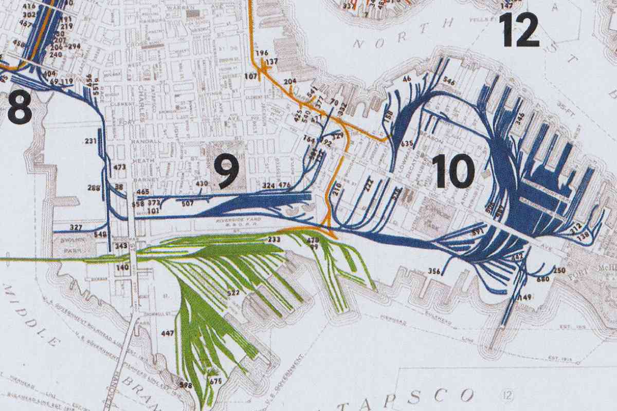
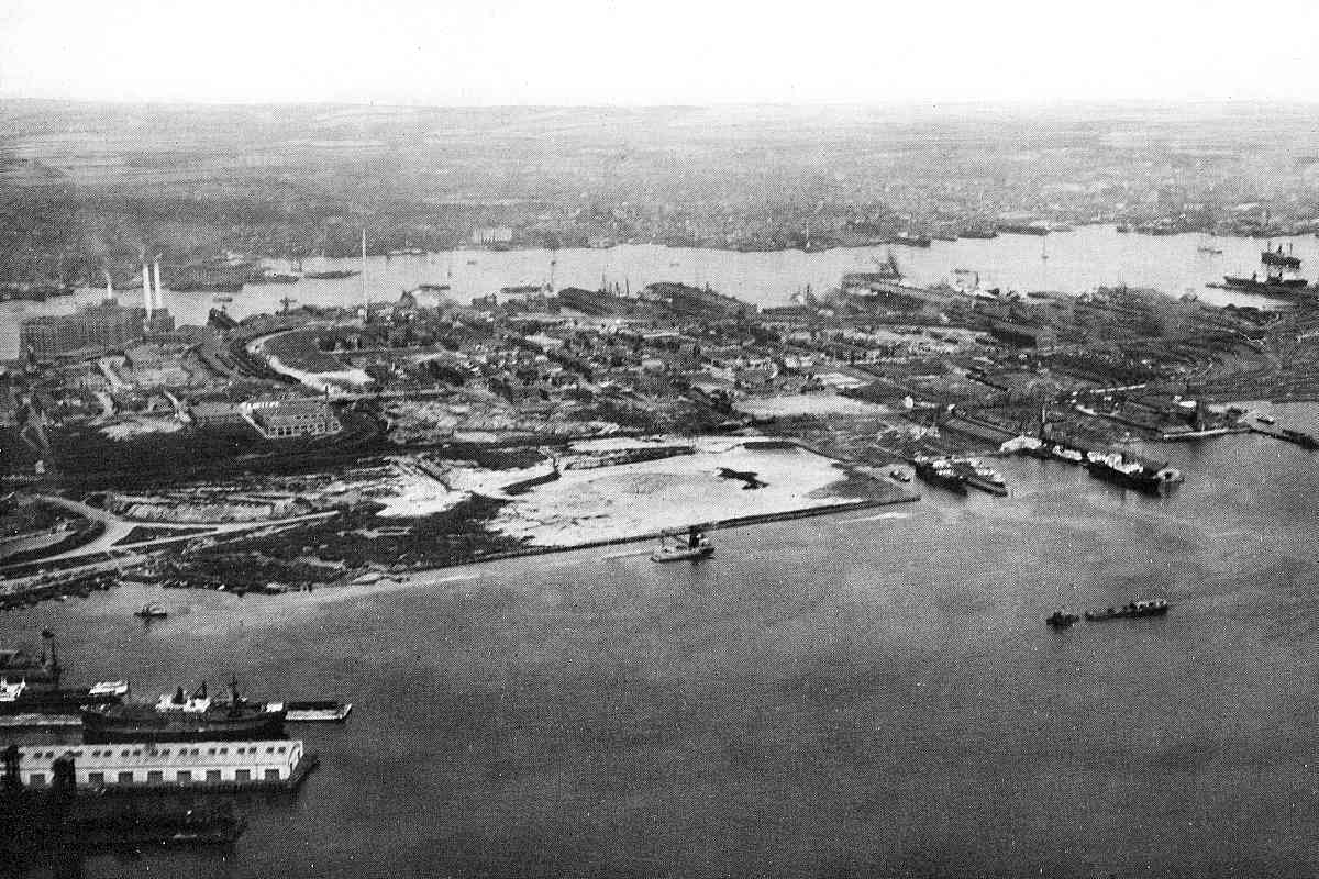
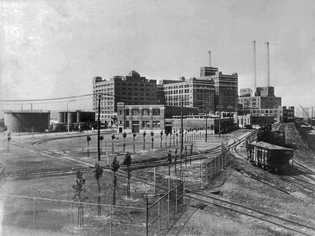
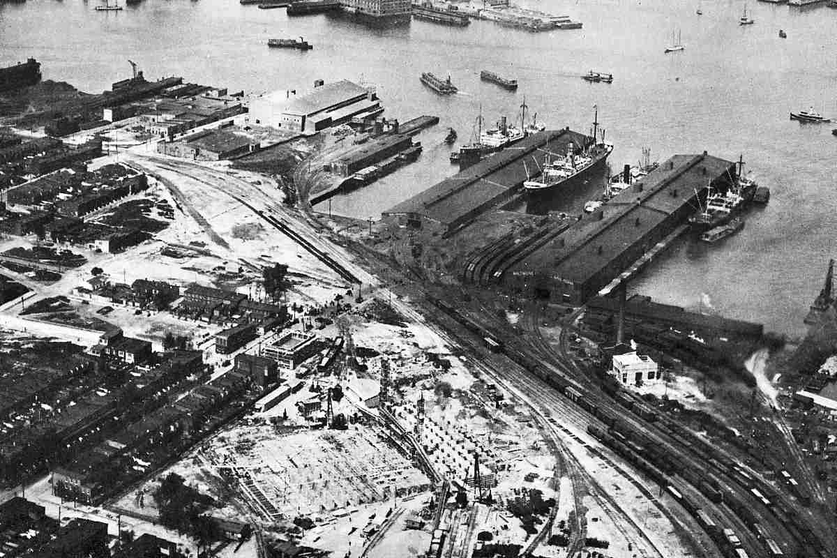
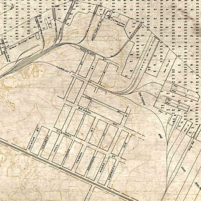
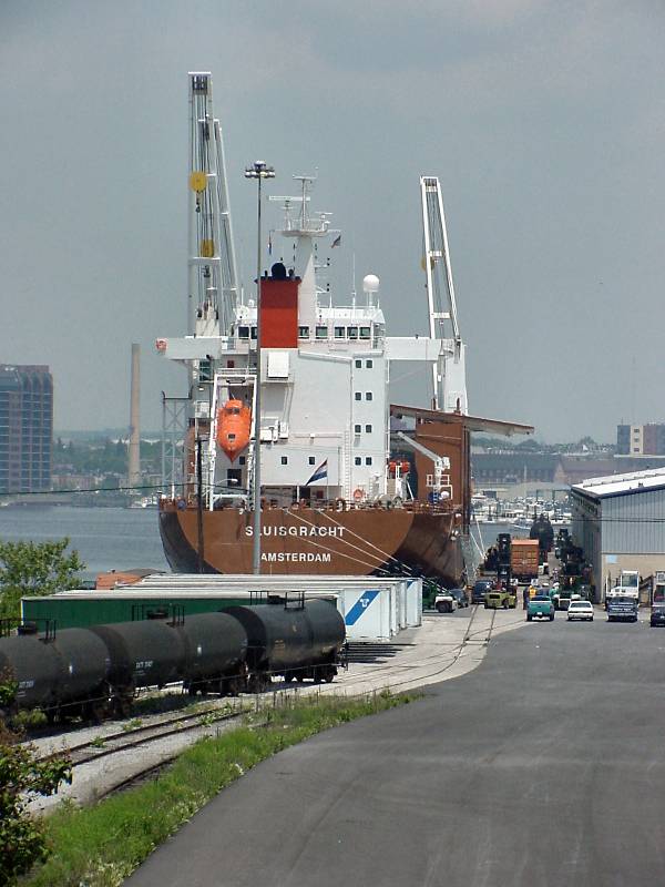
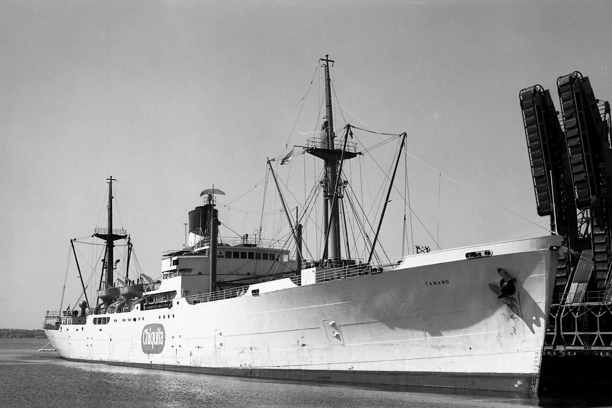
United Fruit's Tanamo, one of a fleet of white ships, has arrived from Central
America and offloaded bananas at a dedicated pier opened by B&O during 1958.
The specialized conveyors at right hoisted 100-pound stems full of bananas directly
from ships into railcars that were refrigerated or heated as weather dictated.
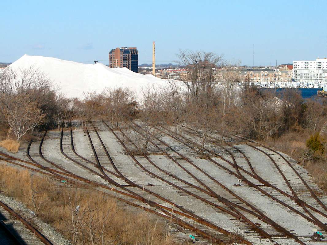
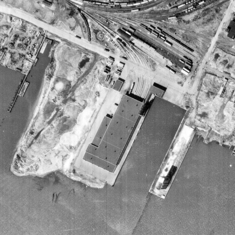
Railcars used any of seven tracks within the adjacent warehouse.
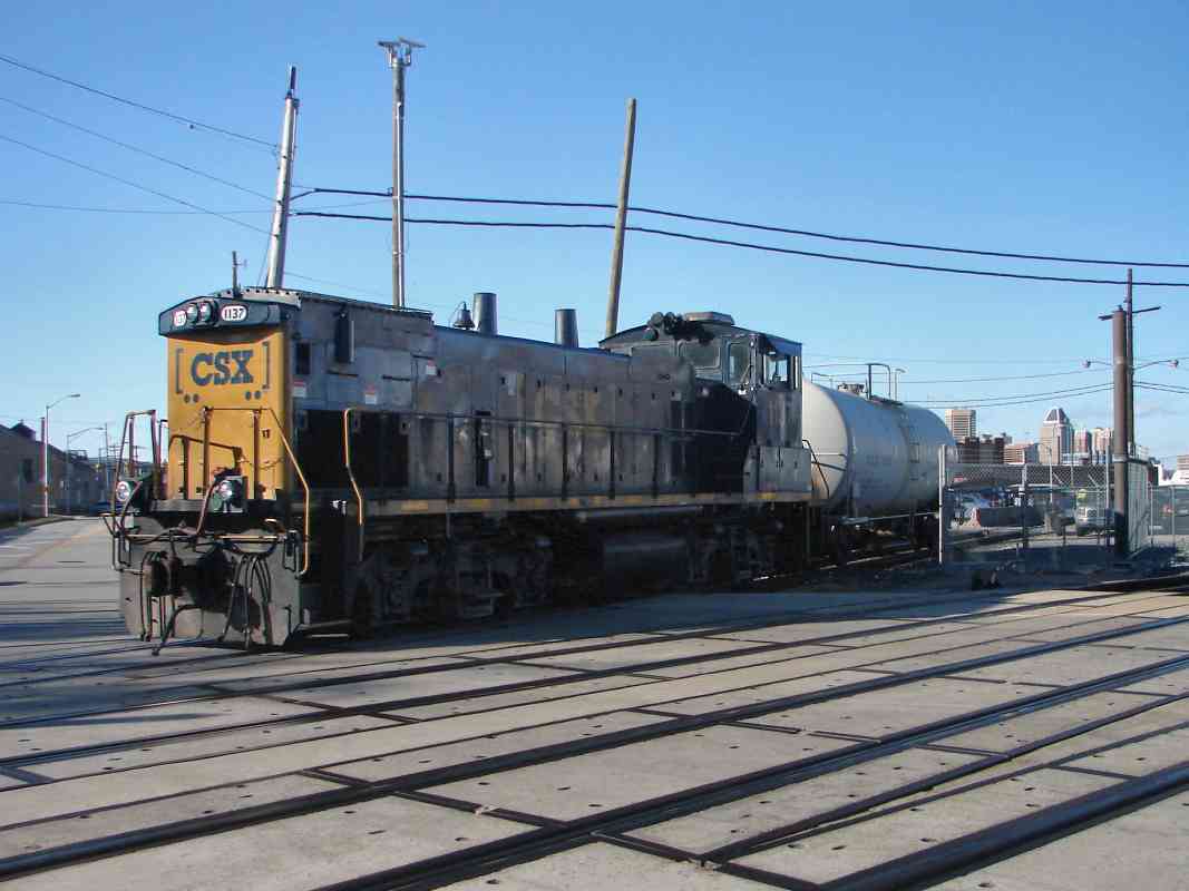
The banana transport business proved slippery, however, as starting during the
1960s the growers split banana stems into smaller hands that fit in boxes that
could be containerized before loading onto the ship. The growers then built their
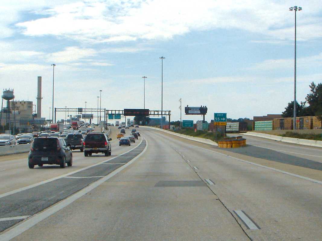
own unloading pier at Wilmington, Delaware, from which trucks carried the bananas
to market via newly-opened I-95. The last few banana boats arrived at B&O's pier
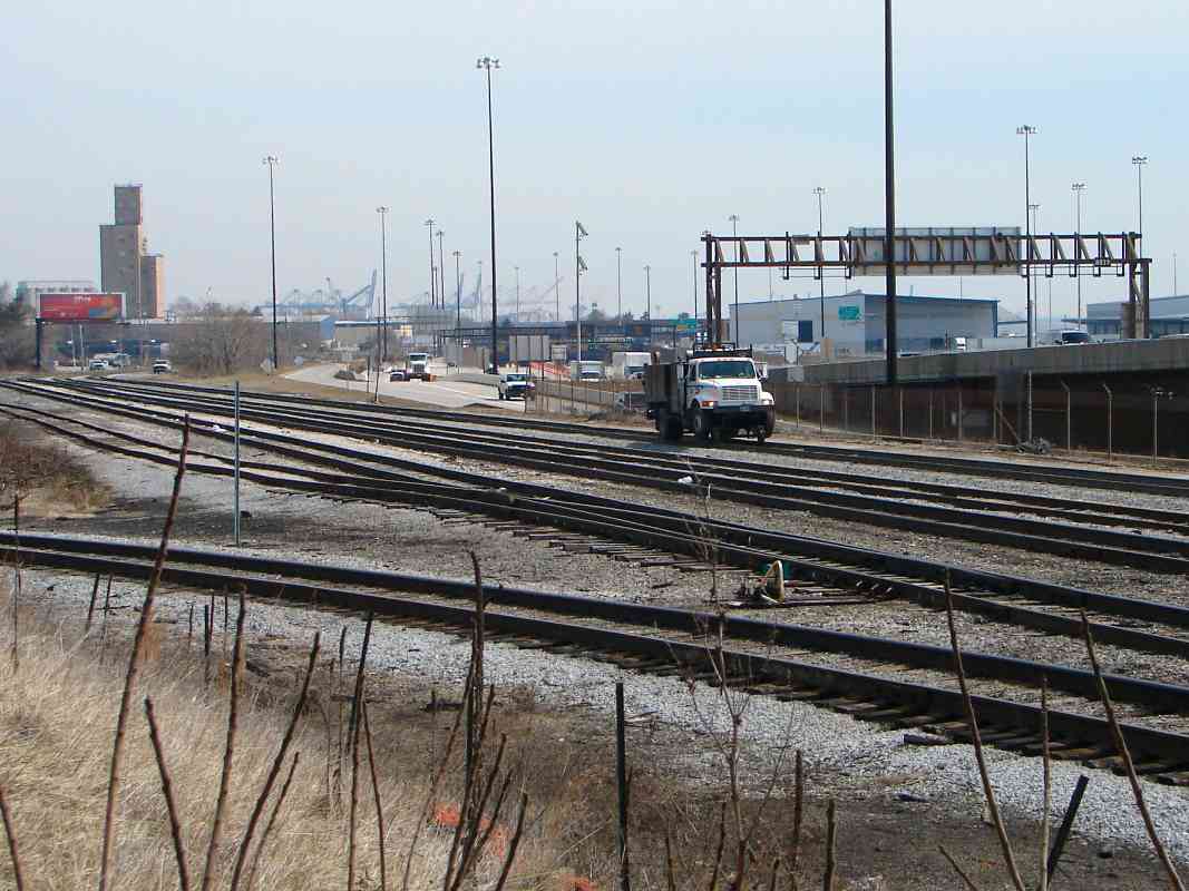
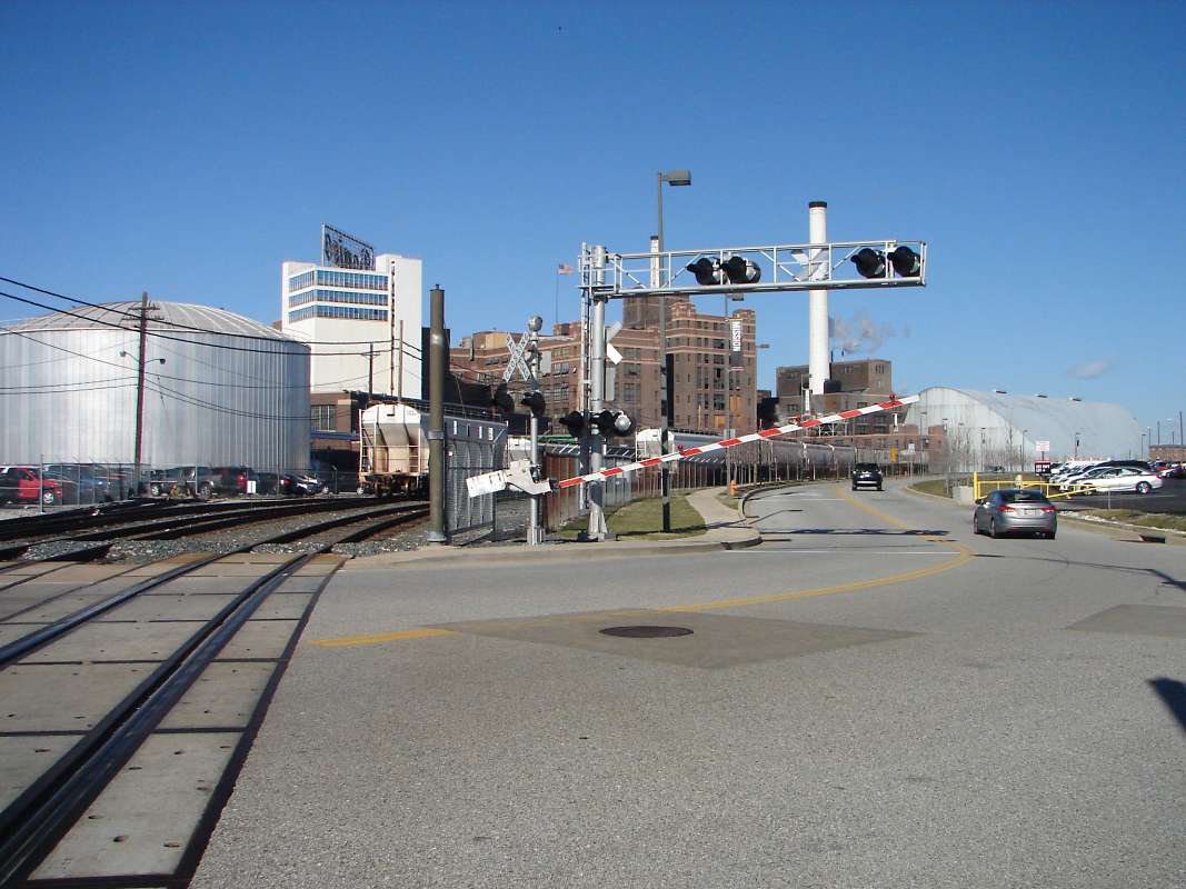
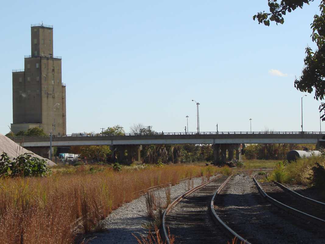
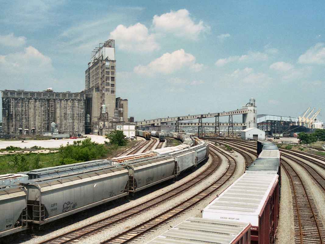
during the 1970s. Before being demolished in 1985, the pier was found south of
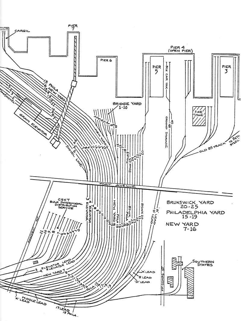
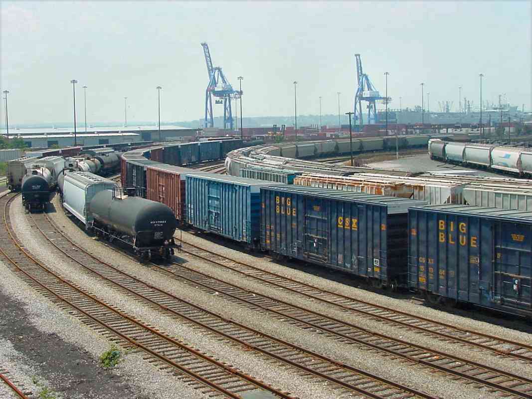
the bulk intermodal distribution (BIDS) terminal that has outlived it.
Links:
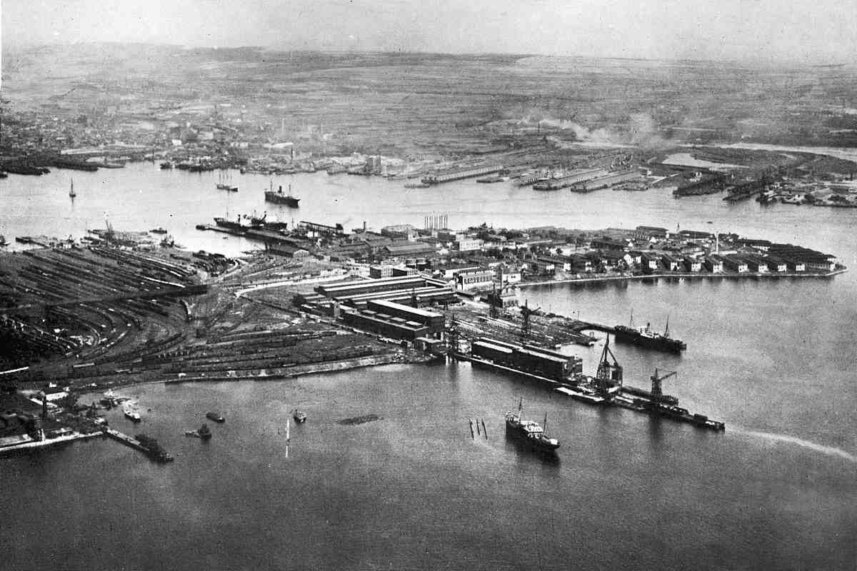
1958 aerial,
unloading,
inside,
chilling
|