TrainWeb.org Facebook Page
B&O Metropolitan Branch Photo Tour


B&O Metropolitan Branch
Modern day photo tour

Accompanying each photo below are:

Click a photo to see a larger view. Please send your comments and corrections to Steve.


<< Previous (east) | THIS PAGE: Gaithersburg to Waring | Next (west) >>

CSX 508

CSX 508
Mile: 21.5 Date: Jan 2019
Ease: A- View: E
Area: B IC2:
Map: Mo 19 F 9 Topographic Maps

As trains round round the bend, they see into Gaithersburg...


Gaithersburg
Photo courtesy Dave Hiteshew

Gaithersburg
Mile: 21.5 Date: Jun 2008
Ease: B+ View: W
Area: B IC2:
Map: Mo 19 F 9 Topographic Maps

A combination of productive farms and good roads made Gaithersburg a busy stop for the railroad. Within a few years after the Met's opening, tons of fertilizer and a hundred thousand bushels of wheat were shipping annually with help from B&O's brick Freight House that survives right of photo center. Double tracking of the Met worked outward from DC but did not reach here until 1893.

The Baltimore, Cincinnati and Western Railroad at one time planned to stretch from Laurel, Maryland to here, and then west, but ultimately was never built. The rusty tracks in the foreground - disconnected from the main not long before this photo - had served the station, and now host static railroad displays.

Links to older pics: 1978, 1991


B&O 1951

B&O 1951
Mile: 21.5 Date: Sep 2012
Ease: A- View: E
Area: B IC2:
Map: Mo 19 F 9 Topographic Maps

RDC operators booth, Jan 2019 
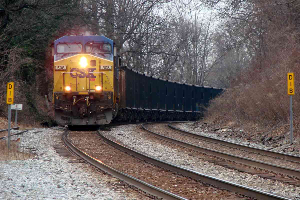
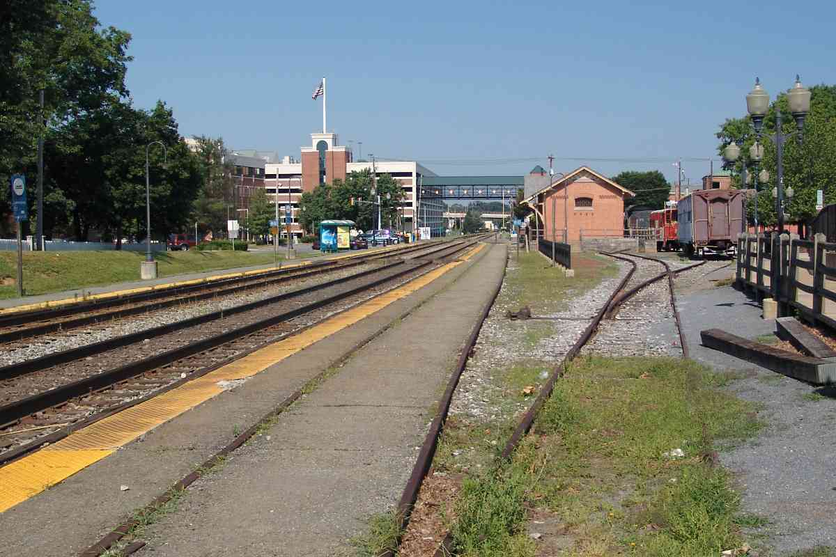
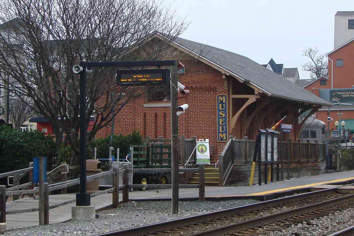
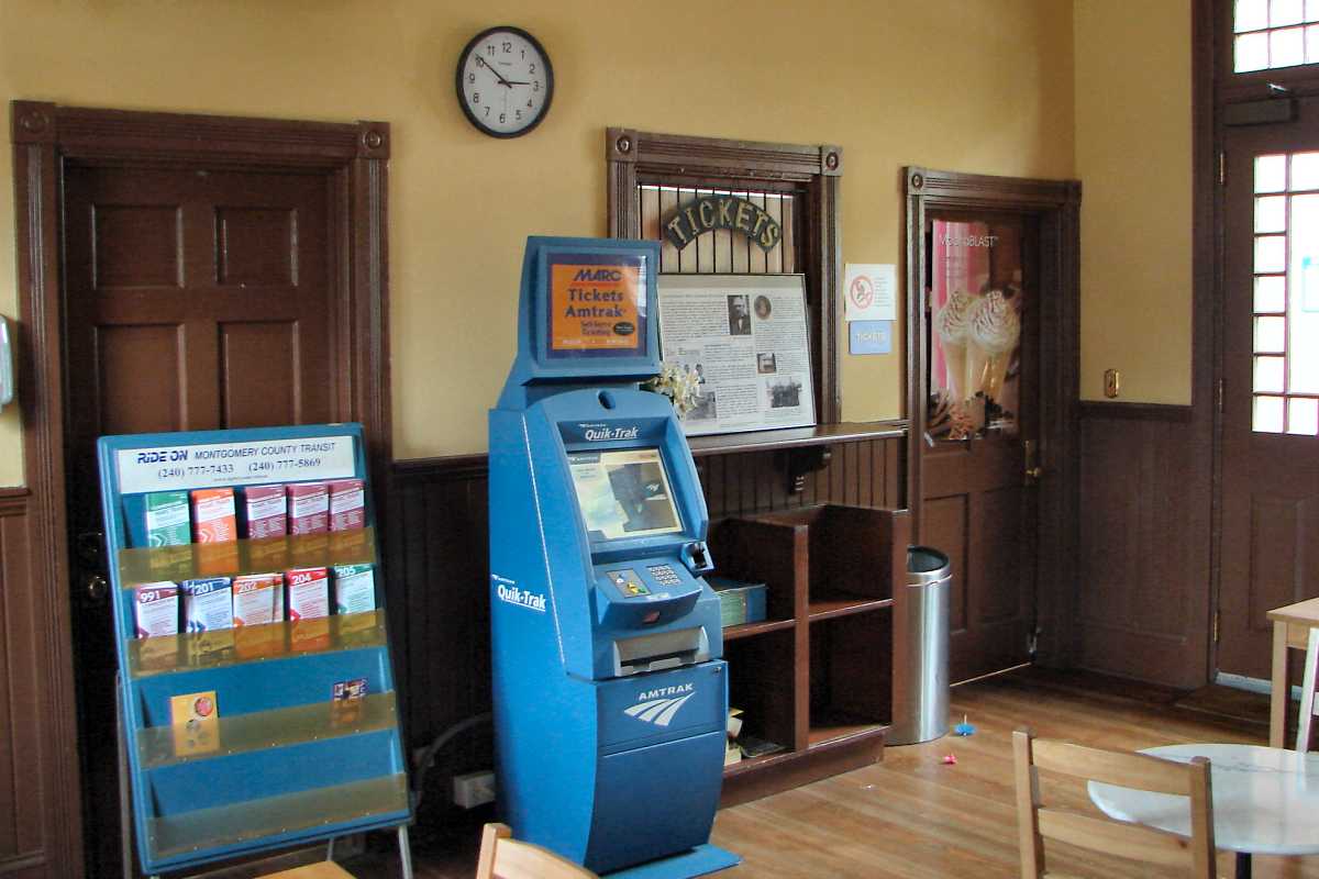
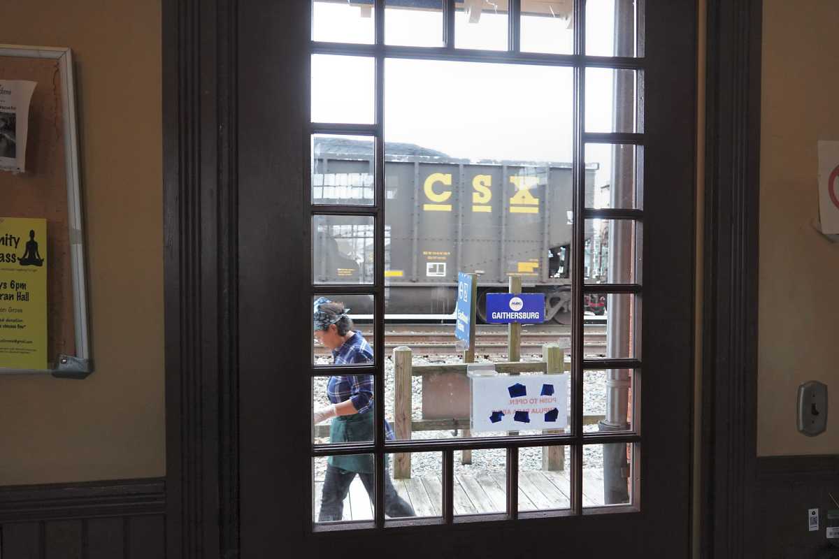
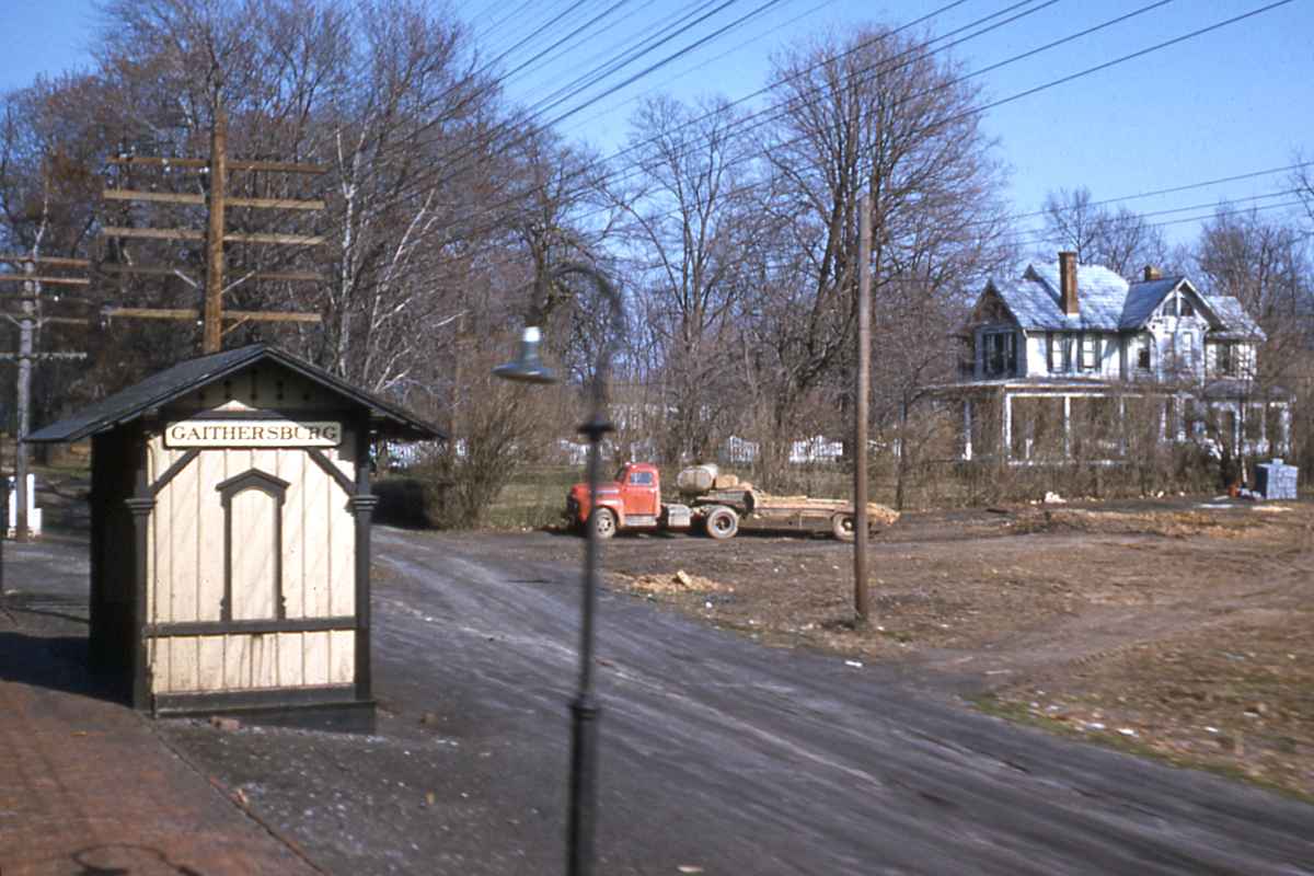
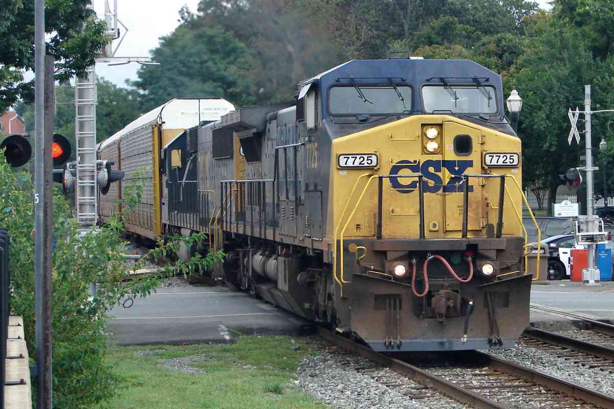
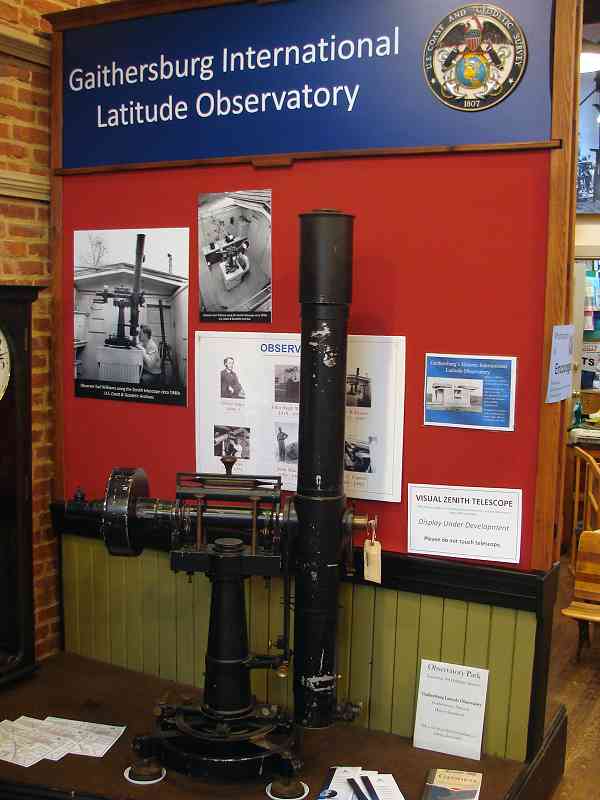
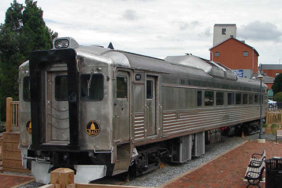
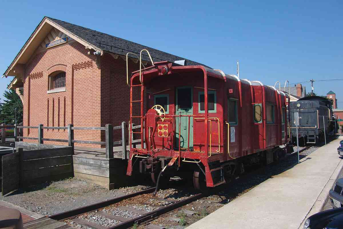
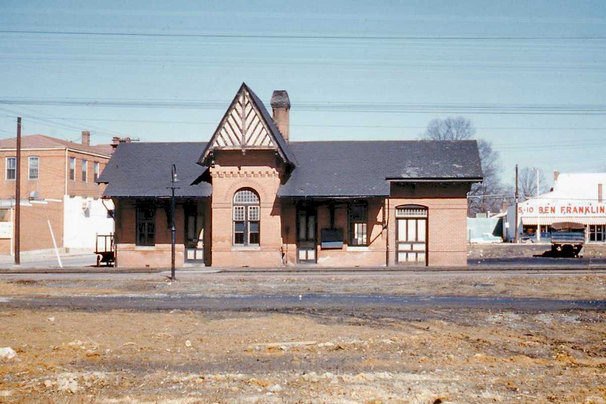
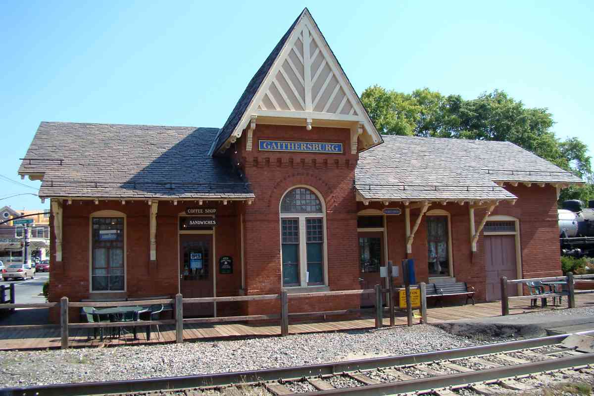
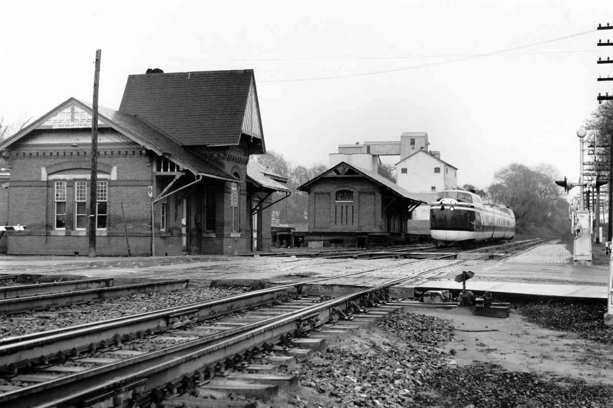
One railcar on display is this ex-B&O Budd RDC unit originally numbered 6652 when built during 1953. The operator's control cabin (right) was period-typical sparse: no cupholders!

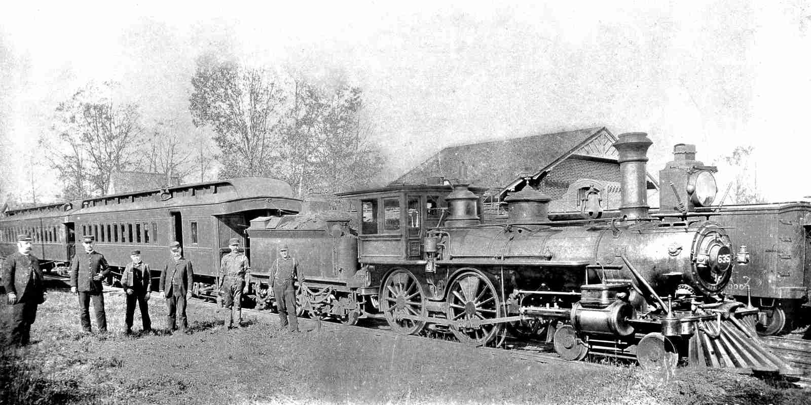
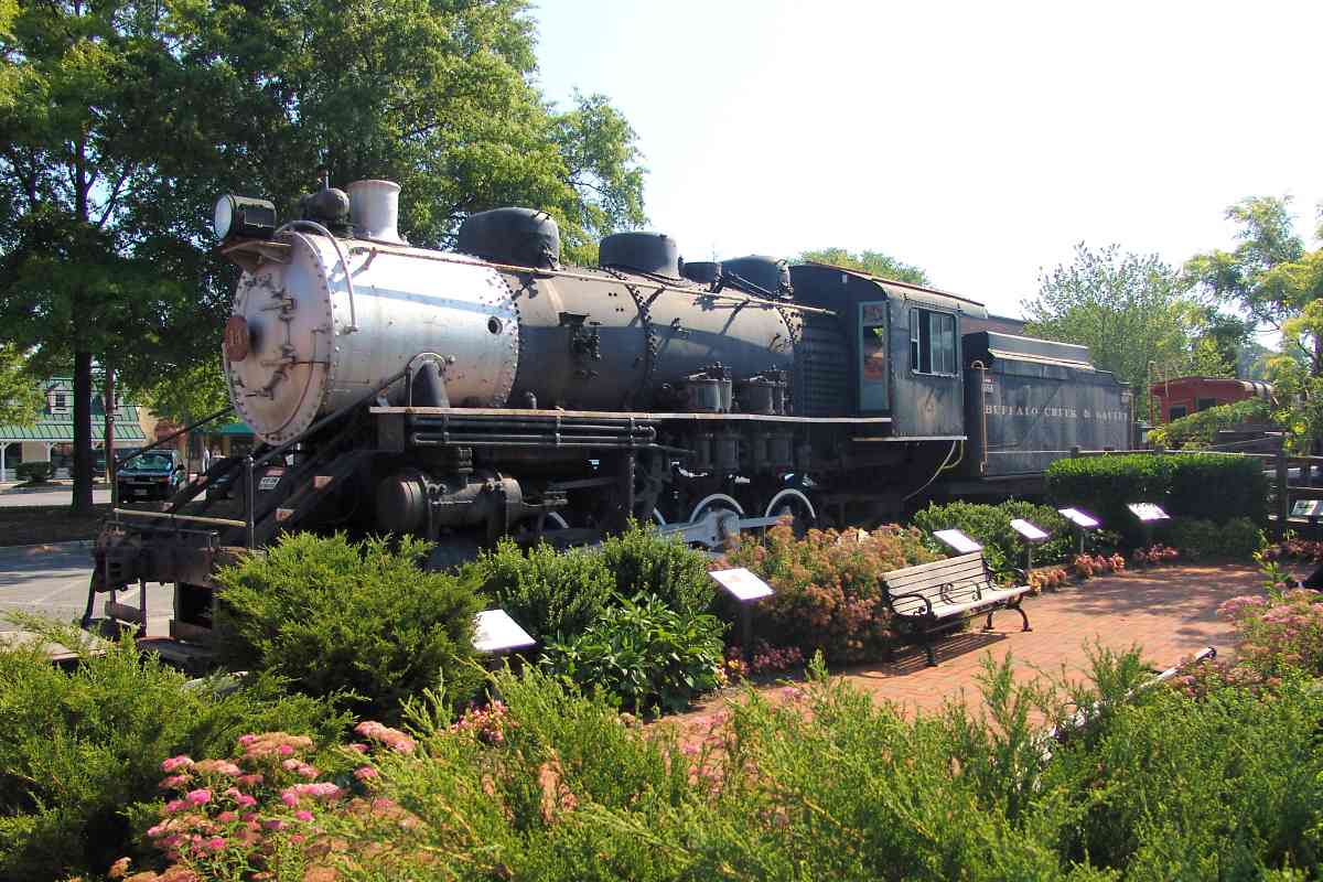
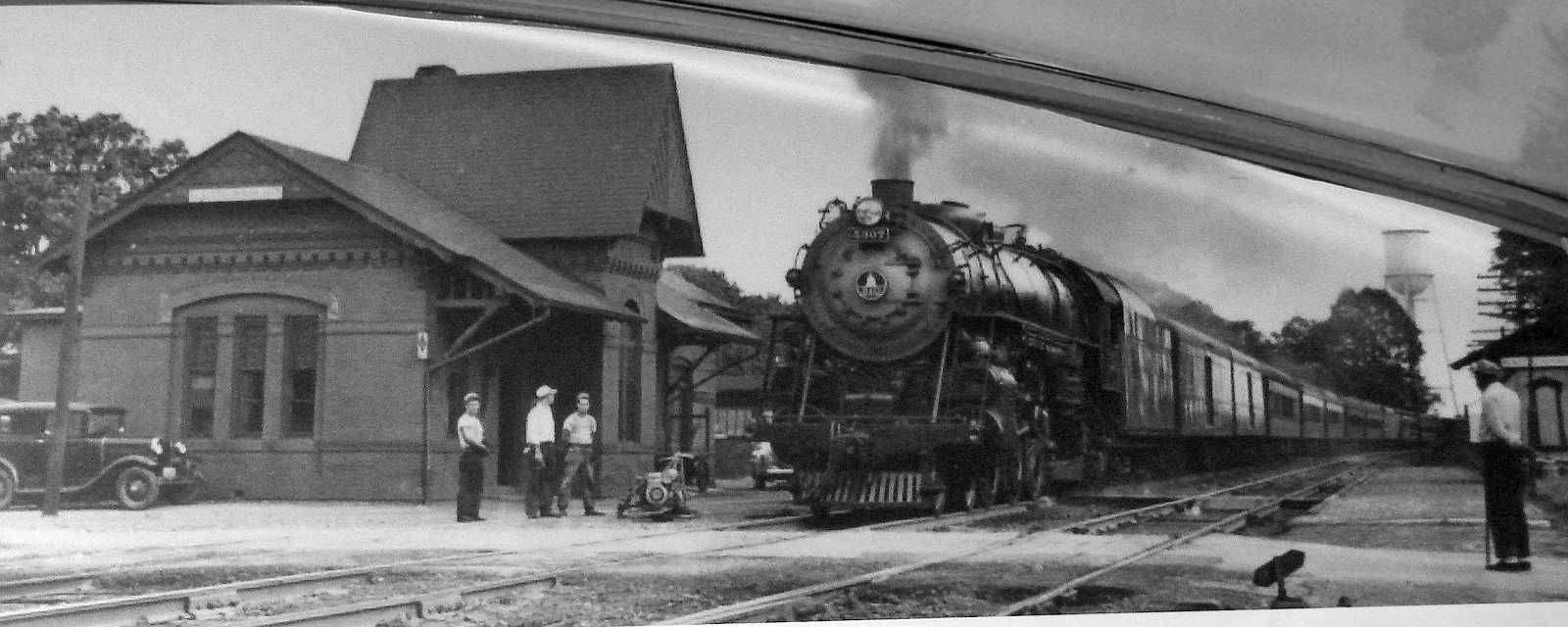
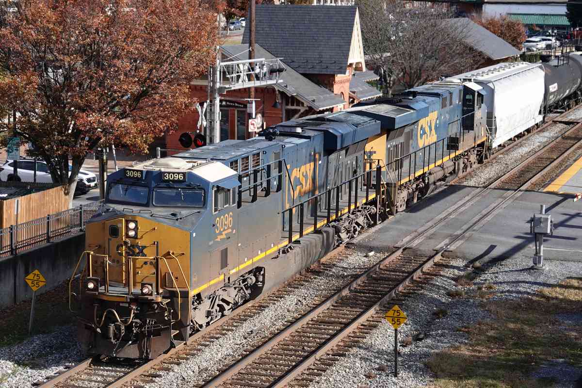
Rail Diesel Cars (RDCs) were manufactured by Budd from 1949 to 1962. They operated as a single car thanks to being self-propelled by two diesel engines. Though this example at Gaithersburg has not operated for decades, its interior still carries the scent of diesel fumes, one of the downsides of the otherwise smart design. The engines powered the wheels directly, not via electricity.

B&O sold this unit to MARC who refurbished it and ran it on commuter lines within Maryland during the 1980s.

In an experimental design called the M-497 "Black Beetle", the New York Central Railroad affixed two jet engines to a Budd RDC similar to this one, and set a US rail speed record of 183 mph during 1966, a record that as of this writing (2019) still stands.

Link: more about the Black Beetle


Freight House

Freight House
Mile: 21.5 Date: Jan 2019
Ease: A View: E
Area: B IC2:
Map: Mo 19 F 9 Topographic Maps

The former B&O Freight House has been remade into the Gaithersburg Gaithersburg International Latitude Observatory Community Museum. Area photos and artifacts are housed within, arranged in attractively-designed, informative displays, suitable for both young and old. During my visit I found the staff to be both courteous and knowledgable. This museum is worth going out of your way to visit.

Perhaps the museum's most tech-heavy artifact is a specialized telescope (right) that had been used to accurately measure the Earth's precession, or "wobble", on its axis. Gaithersburg was home to one of six coordinated International Latitude Observatories scattered around the globe, all at the same latitude. The observatory operated most years from 1899 to 1982, but its precisely measured location still serves as a reference point for GPS satellites.

Links: more about the observatory, museum info


B&O 635
Photo courtesy Smithsonian Institution
NEW! mid-Feb 2022

B&O 635
Mile: 21.5 Date: 1889
Ease: A- View: NW
Area: B IC2: 220
Map: Mo 19 F 9 Topographic Maps

G class B&O 635 and crew pause for a photo op in front of the freight house. You can find a 4-4-0 steam engine similar to this in the form of B&O 25 at the B&O Museum in Baltimore.

Link: B&O 25 pics


B&O Caboose 2490
Photo courtesy Dave Hiteshew

B&O Caboose 2490
Mile: 21.6 Date: Jun 2008
Ease: A View: SW
Area: B IC2:
Map: Mo 19 F 9 Topographic Maps

On display beside the freight house rested this attractive B&O caboose. An attached sign read:

    Baltimore and Ohio (B&O) "Wagontop" Bay Window Caboose 2490 - This class I-12 steel caboose was built by the B&O Railroad in January of 1942 on an outdoor assembly line at the railroad's shops in Keyser, West Virginia. After many years in regular freight train service, it was last used by the railroad in work train service in the New Martinsville, West Virginia area in December of 1985. The "Wagontop" design is unique to the B&O Railroad, and was also used on some of their box cars and covered hopper cars. The "bay windows" enabled the train crew to observe the train, watching for signs of dragging equipment or overheated journal bearings on the freight cars. The caboose is also equipped with an air pressure gauge and a brake valve so that the crew could monitor the brake pipe pressure and stop the train in an emergency. This type of caboose has an unusual "Duryea Underframe", which is a sliding center sill that is attached to the caboose body with horizontal "springs", and was an early attempt to soften the shocks inherent in freight train operation.

Link to other pics: 2013


C&O 904512

C&O 904512
Mile: 21.6 Date: Jan 2019
Ease: A- View: SW
Area: B IC2:
Map: Mo 19 F 9 Topographic Maps

caboose interior 1943 After the B&O Wagontop caboose moved to the Hagerstown Roundhouse Museum, Gaithersburg replaced it with this C&O model, refurbished sans full caboose interior so the space could be used for meetings and education. Various photos of the life of railroad employees are posted on the interior walls.


Buffalo Creek & Gauley 14
Photo courtesy Dave Hiteshew

Buffalo Creek & Gauley 14
Mile: 21.6 Date: Jun 2008
Ease: A View: NE
Area: B IC2:
Map: Mo 19 F 9 Topographic Maps

The Buffalo Creek and Gauley Railroad operated on and off during the 20th century to cart coal from the mines to B&O at Dundon, West Virginia. During its first operational period from 1904, the BC&G never switched to diesels, and instead kept its steam engines chuffing until 1965.

BC&G Consolidation 14 began life as an 0-8-0, but after wrecking in 1956 it was rebuilt into 2-8-0 form, which may be one reason it espcaped scrapping so that we can still enjoy it today.

Links: older pics, newer pics


Gaithersburg Station
Photo courtesy Dave Hiteshew

Gaithersburg Station
Mile: 21.6 Date: Jun 2008
Ease: A View: N
Area: B IC2:
Map: Mo 19 F 9 Topographic Maps

As you may have guessed from all the equipment on display, Gaithersburg is also graced with a B&O station, this one of E. Francis Baldwin design dating to 1884. The final segment of rail to complete the Metropolitan Branch was laid here on February 8, 1873. The first train ran on May 25, 1873.

A coffee shop has taken up residence within which makes it all the easier for railfans to get a glimpse inside the nicely restored structure. MARC trains now stop here for commuters.

Link: 1984


Station Interior
NEW! mid-Feb 2022

Station Interior
Mile: 21.6 Date: Sep 2012
Ease: A- View:
Area: B IC2:
Map: Mo 19 F 9 Topographic Maps

The interior might be the best preserved of all the Baldwin-designed bench surviving B&O stations. Amtrak tickets were probably not available during the 1880s (just a guess), but much of the remainder looks like it could date from that era.

I assume the wall seats are replicas, but they are so nicely done I'm not certain. I have not seen their drilled B&O pattern elsewhere, so it's probably a modern artistic liberty. I like it.


TurboTrain
Photo credit Ara Mesrobian

TurboTrain
Mile: 21.6 Date: 1972
Ease: A View: E
Area: B IC2: 171, 345, 395
Map: Mo 19 F 9 Topographic Maps

Turning to look back east for a moment we spy United Aircraft Corporation's TurboTrain approaching in Amtrak garb, operating well below its record 170 mph speed. Gas turbines powered the TurboTrain whose passenger cars passively tilted around curves. The C&O railroad pioneered the TurboTrain's design.

Note that a switch appears this side of the Summit Avenue grade crossing...

Links: 1986, Turbo train pictures


East Leg Then

East Leg Then
Mile: 21.6 Date: (~1910?)
Ease: A View: W
Area: B IC2: 396
Map: Mo 19 F 9 Topographic Maps

The track switch of the prior photo had been the eastern limit of the Gaithersburg Wye, a formerly important train turning location. In this view looking west again, the wye is on the left, beyond the grade crossing, where a steam locomotive pauses perhaps after turning. B&O had regularly operated local service between DC and Gaithersburg, hence the wye. Helper engines were turned at the wye as well.

In 2012 a copy of this photo hung in the passenger waiting area inside the station. The building across Summit Avenue from the station appears to be signed Ruchter's Paint, though I could find online no confirmation of such a store during that time period.

Link: 1911


East Leg 2008
Photo courtesy Dave Hiteshew

East Leg 2008
Mile: 21.6 Date: Jun 2008
Ease: A View: W
Area: B IC2: 396
Map: Mo 19 F 9 Topographic Maps

This more recent photo looks the same direction, though the photographer is standing at the grade crossing. All traces of the wye's east leg are gone.

The multi-level building opened around 1990 to provide automobile parking for MARC commuters. Along the elevated walkway, the Capitol dome herald (inset) proudly displays the town's B&O heritage.

Link: fixing broken coupler (video, 2011)


ATEX 0006
Photo courtesy Dave Hiteshew

ATEX 0006
Mile: 21.8 Date: Jun 2008
Ease: B+ View: E
Area: B+ IC2:
Map: Mo 19 F 9 Topographic Maps

If the wye were still extant, the lead engine would be at the middle of the straight side. Following behind are CR 2474 and ATEX 0006, an Asplundh Tree Service unit in action spraying defoliant to reduce trackside weed growth that could become a fire hazard as a dry summer wears on.

Link to older pic: 1986


West Leg
Photo courtesy Dave Hiteshew

West Leg
Mile: 21.8 Date: Jun 2008
Ease: B+ View: W
Area: B+ IC2: 396
Map: Mo 19 F 9 Topographic Maps

The strips already devoid of grass and weeds at bottom center reflect the scant remaining evidence of the Gaithersburg Wye. This was the western limit of the wye's western leg. The overpass behind CSX 6155 and CSX 2474 carries MD 355, Frederick Avenue, over the tracks.


CSX 815
Photo courtesy Dave Hiteshew

CSX 815
Mile: 22.2 Date: Jun 2008
Ease: B View: W
Area: A IC2:
Map: Mo 19 D 9 Topographic Maps

CPL signals give CSX 815 and CSX 555 the green light to drag some coal out of the mountains. The extra digits help identify signals where they are mounted back-to-back. Since the time of this photo, CSX replaced these CPLs with in-line signals.

This had been single-track territory until the 1890s.


Pushers
Photo courtesy Dave Hiteshew

Pushers
Mile: 22.2 Date: Jun 2008
Ease: B+ View: SE
Area: A IC2:
Map: Mo 19 D 9 Topographic Maps

B&O built the Met to minimize curves at the expense of changes in elevation, which means the track rises and falls with the terrain much more than it does along the Old Main Line. As a result, heavy trains need the help of pusher engines; this time CSX 5013 and CSX 135 perform that duty. This view looks back to the Chestnut Street grade crossing as the engines move away from the camera.

Rather than curving here, a 1908 USGS topographic map has the railroad continuing straight west to roughly the present-day intersection of Meem Avenue and Floral Drive before turning northwest there. I have yet to find anything to confirm such an alignment. If correct, it would reflect just one of many early 20th century realignments B&O did to straighten the line between Gaithersburg and Dickerson.


Siding
Photo courtesy Dave Hiteshew

Siding
Mile: 22.4 Date: Jun 2008
Ease: B View: W
Area: A IC2:
Map: Mo 19 D 8 Topographic Maps

The Montgomery County Fairgrounds get a rusty 1300-foot long siding to call their own.


I-270
Photo courtesy Dave Hiteshew

I-270
Mile: 22.8 Date: Jun 2008
Ease: B View: W
Area: A IC2:
Map: Mo 19 C 8 Topographic Maps

A multi-span bridge traverses multi-lane Interstate 270.

Link: I-270


Mileposts 23
Photo courtesy Dave Hiteshew

Mileposts 23
Mile: 23.0 Date: Jun 2008
Ease: B View: W
Area: A IC2:
Map: Mo 19 B 8 Topographic Maps

Not even number twenty-three shortages could stop CSX from replacing the concrete milepost with one cobbled-together. As at many Met mileposts, the concrete version has been left as so much litter. The milepost-on-rail, oldest of the twenty-three family, is buried too deeply to shake its head.

Quince Orchard Road had crossed at grade in this vicnity.


Quince Orchard Road
Photo courtesy Dave Hiteshew

Quince Orchard Road
Mile: 23.1 Date: Jun 2008
Ease: B View: E
Area: A IC2:
Map: Mo 19 B 8 Topographic Maps

By a half hour later, CSX 5013 and CSX 135 have detached from one coal train and head west to search for another to push.


Spur
Photo courtesy Dave Hiteshew

Spur
Mile: 23.4 Date: Jun 2008
Ease: A- View: W
Area: A IC2:
Map: Mo 19 A 7 Topographic Maps

A disconnected spur hopes for a new life east of the Metropolitan Grove MARC station.


Original Alignment
Photo courtesy Google
NEW! mid-Feb 2022

Original Alignment
Mile: 23.3 to 23.8 Date: Apr 1993
Ease: View: N (up)
Area: IC2:
Map: Mo 19 A 7 Topographic Maps

A shallow arc (blue arrows) is evidence of the Met's original, single-tracked alignment near Metropolitan Grove station. When this section was double-tracked between 1900 and 1930, it was straightened, and the arcing cut of the original alignment left to return to nature.

The middle blue arrow points to the likely location of a culvert that has been removed by development after this photo. The rightmost blue arrow points to an original culvert that remains extant, though in poor condition, as seen in the next photo.


Original Culvert
NEW! mid-Feb 2022

Original Culvert
Mile: 23.4 Date: Jan 2019
Ease: A- View: SW
Area: A IC2:
Map: Mo 19 A 7 Topographic Maps

The north side opening of this crumbling culvert is a fair distance from the existing alignment, indicating it had served the original alignment. The other end of this culvert appears to have been extended south to support the existing alignment.


Metropolitan Grove MARC
NEW! mid-Feb 2022

Metropolitan Grove MARC
Mile: 23.4 Date: Jan 2019
Ease: A- View: W
Area: A IC2:
Map: Mo 19 A 7 Topographic Maps

As dusk approaches, MARC 15 prepares to push a DC-bound train out of Metropolitan Grove station.


Game Preserve Road
Photo courtesy Dave Hiteshew

Game Preserve Road
Mile: 24.2 Date: Jun 2008
Ease: A View: NE
Area: A IC2:
Map: Mo 18 J 6 Topographic Maps

Game Preserve Road is the only place along the Met at which you can legally drive under one of the line's single-stone-arch bridges. This one is numbered 25A and was likely extended for double track around 1900.


Detectors
Photo courtesy Dave Hiteshew
Updated mid-Feb 2022

Detectors
Mile: 24.2 Date: Jun 2008
Ease: B View: E
Area: A IC2:
Map: Mo 18 J 6 Topographic Maps

An array of detectors watches for dragging equipment and other troubles. During 2012, CSX relocated these detectors about a mile and half east.

The railroad calls this location Clopper, Maryland, named for Francis Cassatt Clopper who owned a grist mill in this vicinity. He encouraged B&O to construct the Metropolitan Branch, presumably because he wanted mill products hauled in/out by rail. What he failed to consider is railroads would facilitate much larger and more economical mills than his, such as ones in the midwest. Francis was a distant cousin of A.J. Cassatt of Pennsylvania Railroad fame.

Links: 1985, Clopper Mille ruins, Cossart descendants


Waring Viaduct
Photo courtesy Dave Hiteshew

Waring Viaduct
Mile: 24.7 Date: Nov 2007
Ease: B View: NW
Area: A IC2:
Map: Mo 18 H 6 Topographic Maps

Just east of Waring, this multi-arch stone bridge dates to the Loree-era when B&O was under control of the Pennsylvania Railroad. It replaced a steel trestle over Great Seneca Creek. New bridges after this period generally returned to steel as their main ingredient.


C&O 7427
Photo courtesy HH Harwood

C&O 7427
Mile: 24.8 Date: 1979
Ease: B View: NE
Area: A IC2: 211
Map: Mo 18 H 6 Topographic Maps

Harwood saw C&O 7427 and B&O 3556 glide westbound over the triple-arched viaduct prior to its 75th birthday. Before 1906, B&O had replied upon the original single-track wooden trestle here.

After C&O but before CSX, there was the Chessie System, which operated the Met from 1973 to 1980. Chessie was a holding company for C&O, B&O, Western Maryland and a few smaller railroads. At the time of this photo, these locomotives had not yet been repainted into Chessie livery.

Link: viaduct under construction


Waring Station Road
Photo courtesy B&O History Collection
NEW! mid-Feb 2022

Waring Station Road
Mile: 24.9 Date: Oct 1988
Ease: B View: NW
Area: A IC2:
Map: Mo 18 H 5 Topographic Maps

At photo time, CPL signals were identified by direction, milepost, and utility pole number, a scheme likely leftover from B&O. This signal is signed W24-52, W for westbound control, at mile 24, pole 52.

I guesstimate grade separation arrived here around 1940. Waring Station Road received this newer bridge during 1986.


B&O 3557
Photo credut Pete Darmody,
B&O History Collection
NEW! mid-Feb 2022

B&O 3557
Mile: 25.0 Date: Aug 1974
Ease: A View: SE
Area: A IC2:
Map: Mo 18 G 5 Topographic Maps

The open area on the left indicates it had been the location of Waring Station.


B&O 6939
Photo credut RW Clark,
B&O History Collection
NEW! mid-Feb 2022

B&O 6939
Mile: 25.0 Date: May 1978
Ease: A View: NW
Area: A IC2: 167
Map: Mo 18 G 5 Topographic Maps

B&O 6939, a model GP30, coasts a train down to Washington. At peak, the Met had been lined by utility poles hosting on the order of 100,000 glass insulators.


Gunners Branch
Photo courtesy Dave Hiteshew

Gunners Branch
Mile: 25.4 Date: Jun 2008
Ease: B View: NE
Area: A IC2:
Map: Mo 18 G 5 Topographic Maps

This fine, probably-not-original stone arch carries the tracks over Gunners Branch. The interior arch is made of brick. Outlet portals from a dam at Gunners Lake can be spied through the arch.


CSX 9002
Photo courtesy Dave Hiteshew
NEW! mid-Feb 2022

CSX 9002
Mile: 25.9 Date: Jun 2008
Ease: B View: NW
Area: A IC2:
Map: Mo 18 E 5 Topographic Maps

CSX engines numbered over 9000 are not often seen leading a long train. As of 2022, the unit was still toiling for CSX. The overpass represents Great Seneca Highway.


<< Previous (east) | THIS PAGE: Gaithersburg to Waring | Next (west) >>

Or, return to main page for other tours.

Copyright Notice