TrainWeb.org Facebook Page
B&O Georgetown Branch Photo Tour


B&O Georgetown Branch
Modern day photo tour

Accompanying each photo below are:

Click a photo to see a larger view. Please send your comments and corrections to Steve.


<< Previous (east) | THIS PAGE: Mile 8 to 11 | End of branch (resume) >>

Fenced
Photo courtesy Dave Hiteshew

Fenced
Mile: 8.1 Date: Nov 2008
Ease: B View: S
Area: A IC2:
Map: DC 8 K 10 Topographic Maps

Fences surround the trail in places B&O had regraded the land higher over the surrounding terrain. Often interesting things are to be found at such locations.


Overflow
Photo courtesy Dave Hiteshew

Overflow
Mile: 8.2 Date: Nov 2008
Ease: B View: E
Area: A IC2:
Map: DC 8 K 10 Topographic Maps

One such interesting thing is this culvert to handle overflow water from the adjacent C&O canal.


Fletchers Cove
Photo courtesy Dave Hiteshew

Fletchers Cove
Mile: 8.2 Date: Nov 2008
Ease: B View: SE
Area: A IC2:
Map: DC 8 K 10 Topographic Maps

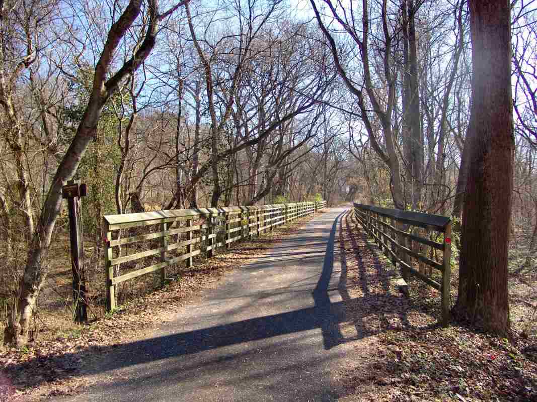
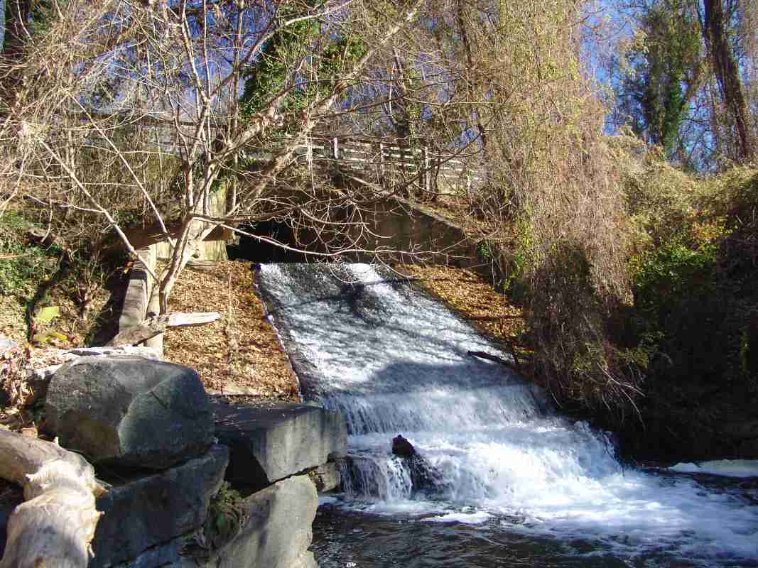
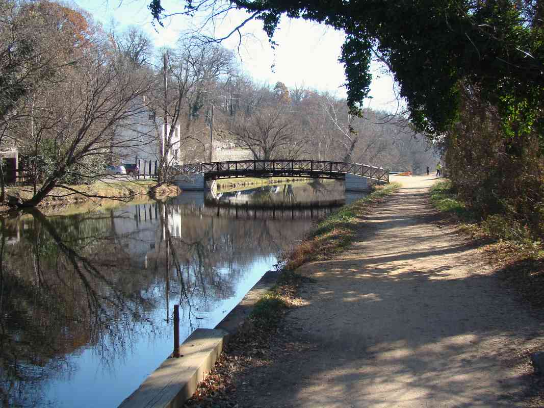
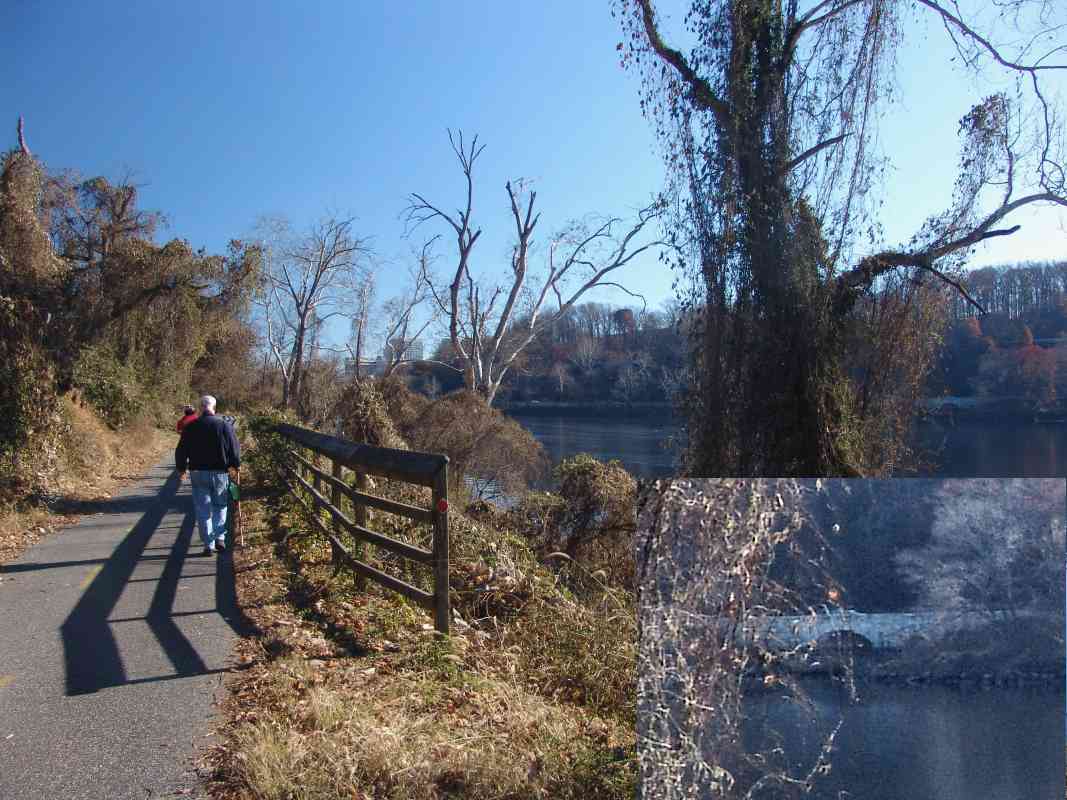
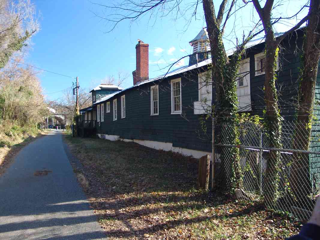
At Fletcher's Cove, the Abner Cloud house, which dates to 1689, is the oldest surviving building along the C&O canal. The photographer is standing 
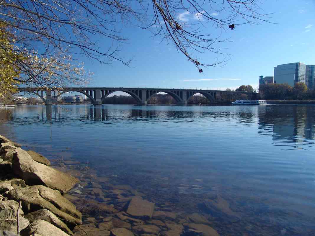
on the canal's towpath while paralleling unseen on the immediate right is the Georgetown Branch's right-of-way.

In 1981 the Smithsonian Institution steamed from Georgetown to Fletcher's Cove via the 1831-constructed John Bull locomotive; the event was noted as the operation of the oldest self-propelled vehicle in the world.

Links: 1981, in Smithsonian, John Bull info at Wikipedia


Bridge 20
Photo courtesy Dave Hiteshew

Bridge 20
Mile: 8.2 Date: Nov 2008
Ease: B View: NE
Area: A IC2:
Map: DC 8 K 10 Topographic Maps

Number 20 is painted on this 1909-constructed passageway under both the canal and railroad.

Link: plans


Spike
Photo courtesy Dave Hiteshew

Spike
Mile: 8.3 Date: Nov 2008
Ease: B View:
Area: A IC2:
Map: DC 8 K 10 Topographic Maps

A sharp-eyed railfan can spot B&O artifacts all along the way, such as this track spike that has somehow found itself nailed into asphalt.

Other artifacts along this stretch include ties, tie plates, and rails.


Mile 9
Photo courtesy Dave Hiteshew

Mile 9
Mile: 9.1 Date: Nov 2008
Ease: B View: SE
Area: A IC2:
Map: DC 9 A 12 Topographic Maps

By trail milepost 9 the B&O right-of-way has finally dipped to a lower elevation than the canal, which remains parallel on the left.


Riverside
Photo courtesy Dave Hiteshew

Riverside
Mile: 9.6 Date: Nov 2008
Ease: B View: SE
Area: A IC2:
Map: DC 9 B 13 Topographic Maps

By this point, B&O had to hug the DC shore of the Potomac River. The buildings in the distance on the Virginia shore are near the Key Bridge. Across on the right (inset) the stone arch belongs to the George Washington Memorial Parkway.


Bridge 23
Photo courtesy Dave Hiteshew

Bridge 23
Mile: 9.9 Date: Nov 2008
Ease: B View: N
Area: A IC2:
Map: DC 9 C 13 Topographic Maps

B&O's concrete arched bridges have held up well... this one is more than a century old.

Links: plans, 1967 washout nearby


Key Bridge
Photo courtesy Dave Hiteshew

Key Bridge
Mile: 10.2 Date: Nov 2008
Ease: B View: E
Area: A IC2:
Map: DC 9 D 13 Topographic Maps

After autumn leaves fly, and a blast of cold hints of the winter ahead, blue is the color that dominates around the Francis Scott Key Bridge, DC's oldest surviving road bridge spanning the Potomac River. The (in)famous Watergate Hotel can be glimpsed in the distance through the second arch from the left.

The boat gliding downstream is the Nina's Dandy, a dinner cruise ship.


Boat House
Photo courtesy Dave Hiteshew

Boat House
Mile: 10.3 Date: Nov 2008
Ease: B View: E
Area: A IC2:
Map: DC 9 E 13 Topographic Maps

Yes, at one time the tracks did squeeze between these boat houses on the right and possessed Georgetown children on the left.

Links: 1947 reverse view, 1956, 1976 Best Friend of Charleston, The Exorcist


Aqueduct Bridge
Photo courtesy Dave Hiteshew

Aqueduct Bridge
Mile: 10.4 Date: Nov 2008
Ease: A- View: E
Area: B+ IC2:
Map: DC 9 E 13 Topographic Maps

Prior to the Key Bridge, people relied on the Aqueduct Bridge to carry them across the Potomac. The structure dates to the 1830s originally as part of the Alexandria (Virginia) Canal. So the Georgetown Branch could pass under the leftmost of the two surviving arches, landfill was added to push the shoreline outward, and the arch was rebuilt.

Links: 1874, Alexandria Canal info, aqueduct pics and history


Slabs
Photo courtesy Dave Hiteshew

Slabs
Mile: 10.4 Date: Nov 2008
Ease: A- View: NE
Area: B+ IC2:
Map: DC 9 E 13 Topographic Maps

Initially I thought this Aqueduct Bridge arch was lined with impressively large slabs of granite, but now I believe they are concrete sections added when the arch was enlarged to allow clearance for B&O's trains. The two photos linked below show the arch before and after modification. Beyond the bridge the Whitehurst Freeway looms overhead.

Of the ~1900 photo linked below, Ben Sullivan wrote:

    "By the way - in the photo you linked (~1900) I believe the long wooden trestle is actually the Georgetown businessman's attempt at getting the B&O to come to Georgetown. I have records and photos indicating that they built a right-of-way out of the town for a mile or so preceding the arrival of the B&O.

    "A photo has come to light in the last month showing the arch being enlarged by the B&O! Here's a link to a post on my blog: ~1909." Another: ~1910

Links: ~1900, ~1970


Building
Photo courtesy Dave Hiteshew

Building
Mile: 10.5 Date: Nov 2008
Ease: A View: E
Area: B+ IC2:
Map: DC 9 E 13 Topographic Maps

The style of this building suggests a B&O heritage. Anyone know? Now it lives in the shadow of the Whitehurst Freeway that in 1949 was squeezed between B&O's Georgetown Yards, and the Key Bridge.

Link: 1973


Water Street
Photo courtesy District Department of Transportation (DDOT) Library
NEW! early-Feb 2020

Water Street
Mile: 10.6 Date: Jun 1972
Ease: A View: E
Area: A IC2:
Map: DC 9 E 13 Topographic Maps

With the help of Hurricane Agnes, K Street demonstrates why it used to be named Water Street. This looks east toward 33rd Street, and beyond to boxcars at Wilkens-Rogers Mill.

Links: DDOT source photo, cylindrical hopper


K Street
Photo courtesy Dave Hiteshew

K Street
Mile: 10.7 Date: Nov 2008
Ease: A View: E
Area: A IC2:
Map: DC 9 E 13 Topographic Maps

The Whitehurst Freeway struggles to keep standing while subject to a decades-long battle of aesthetics vs. function. Elevated roads are rarely pretty, but this one provides an important link around the crowded streets of Georgetown.

K Street has undergone a transformation from the industrial to the hip. What B&O called its "new" Georgetown Yards on the right remained fallow from the branch's abandonment until Georgetown Waterfront Park was added in 2007.

Links: 1920s, 1966, 1956


Georgetown Yards
Photo courtesy District Department of Transportation (DDOT) Library
NEW! early-Feb 2020

Georgetown Yards
Mile: 11.1 Date: Mar 1959
Ease: View: W
Area: A IC2:
Map: DC 9 F 13 Topographic Maps

Decades before Waterfront Park, the rail yard occupied this area. The nearest boxcar is showing a BCK reporting mark, that of Buffalo Creek Flour. Spanning the Potomac River in the distance is Key Bridge. The rightmost automobile is a 1958 Ford Fairlane.

Link: DDOT source photo


End of the Line
Photo courtesy District Department of Transportation (DDOT) Library
NEW! early-Feb 2020

End of the Line
Mile: 10.9 Date: ~1960
Ease: View: E
Area: A IC2:
Map: DC 9 E 13 Topographic Maps

In the distance are the Washington Monument and Lincoln Memorial. Standing tall between them is a shuttered Christian Heurich Brewing Company brewery that was torn down during 1961 to make way for new roads and later the Kennedy Center. At one time Heurich was the largest brewery in DC.

B&O's planned link across the Potomac River from here to the southern states never materialized, and Washington's industrial waterfront gradually gave way to less grimy purposes. The closure of the coal-fired power plant here presaged the future of a Georgetown Branch that would see its last train in 1985.

Link: DDOT source photo


<< Previous (east) | THIS PAGE: Mile 8 to 11 | End of branch (resume) >>

This tour ends here. Thanks for riding along!

See more of the Georgetown Branch's history at Ben Sullivan's GB site, Railroad.net, and Abandoned Rails


Return to main page

Copyright Notice