Click a photo to see a larger view. Please send your comments and corrections to Steve.
Photo courtesy Dave Hiteshew |
| |||||||||||
| ||||||||||||

Photo courtesy Dave Hiteshew |
| |||||||||||
| ||||||||||||
Photos courtesy Dave Hiteshew |
| |||||||||||
| ||||||||||||
Photo credit Frank Chapman |
| |||||||||||
| ||||||||||||
Photo courtesy Dave Hiteshew |
| |||||||||||
| ||||||||||||
|
| |||||||||||
| ||||||||||||
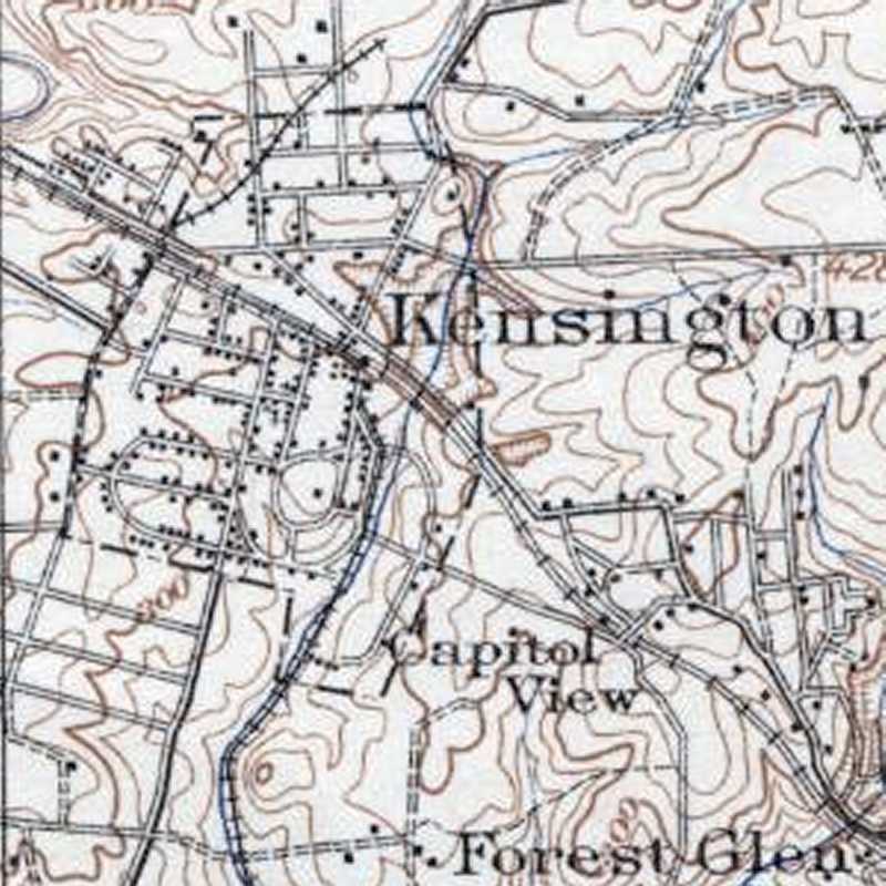
Image credit USGS |
| |||||||||||
| ||||||||||||
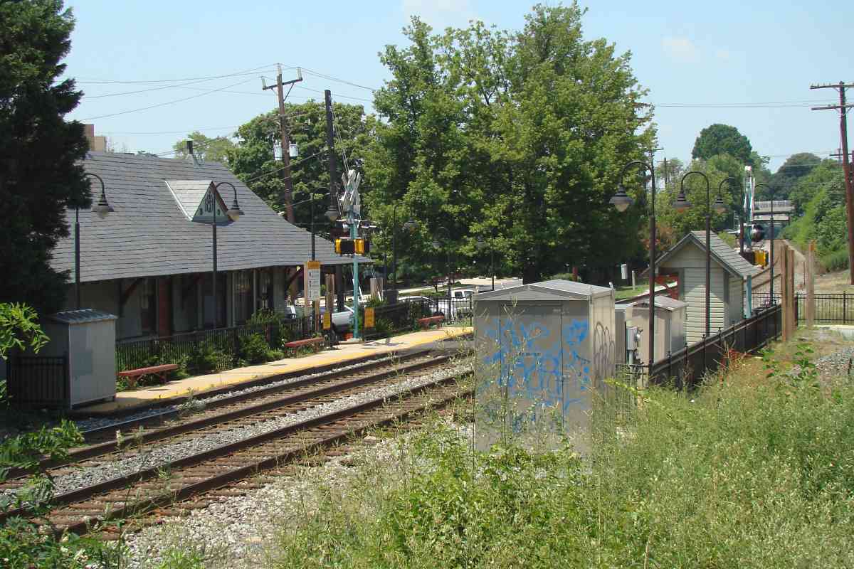
Photo courtesy Dave Hiteshew |
| |||||||||||
| ||||||||||||
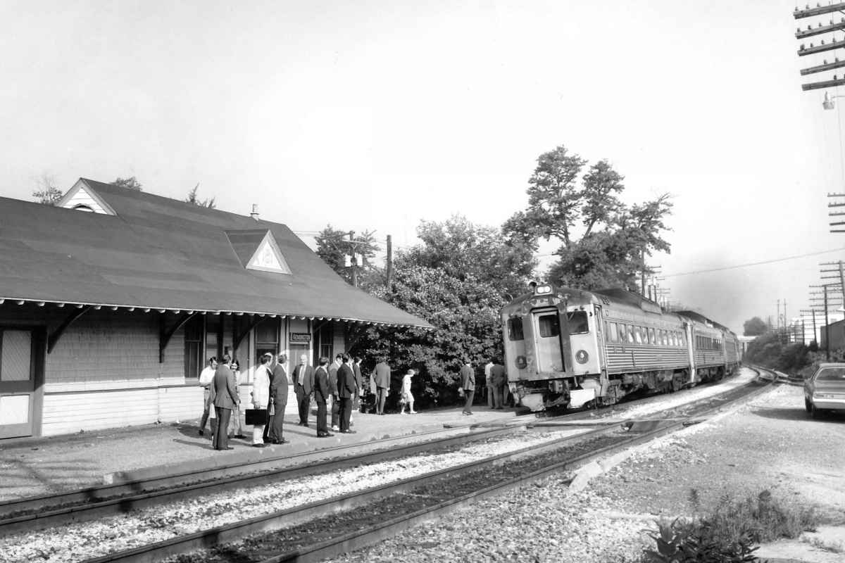
Photo credit HH Harwood |
| |||||||||||
| ||||||||||||
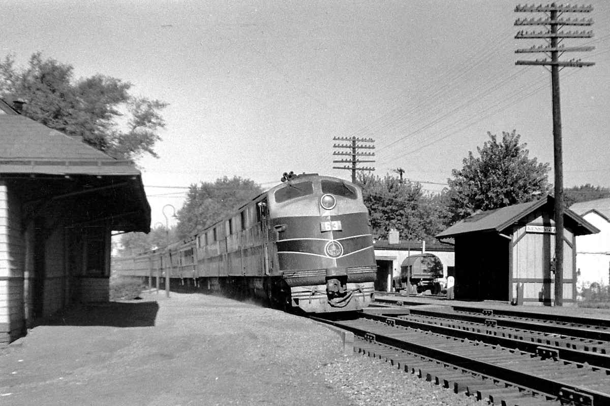
Photo credit A Mesrobian |
| |||||||||||
| ||||||||||||
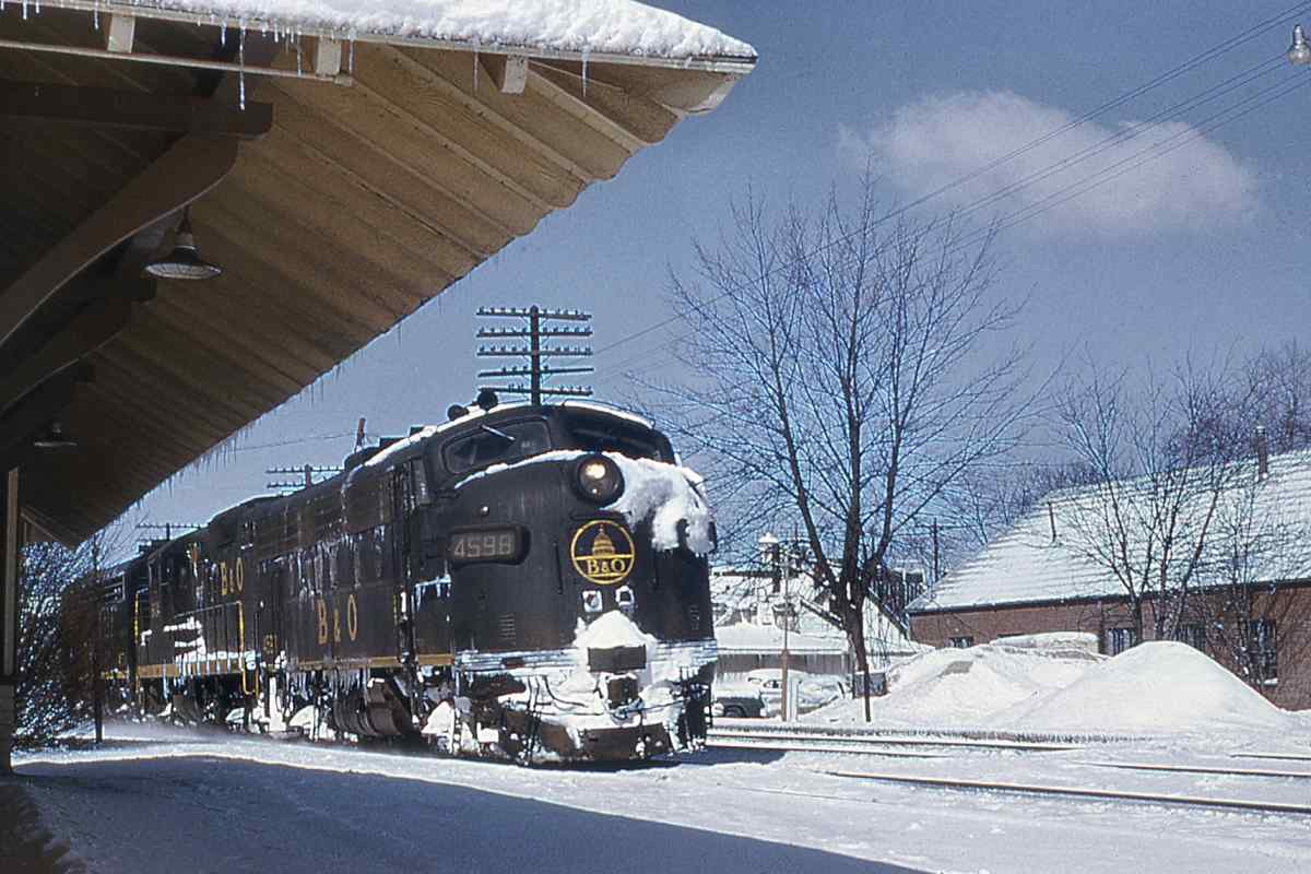
Photo credit HL Buckley B&O History Collection |
| |||||||||||
| ||||||||||||
|
| |||||||||||
| ||||||||||||
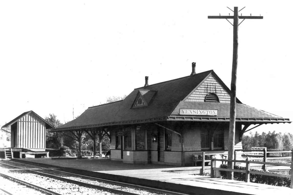
Photo credit Montgomery County Historical Society |
| |||||||||||
| ||||||||||||
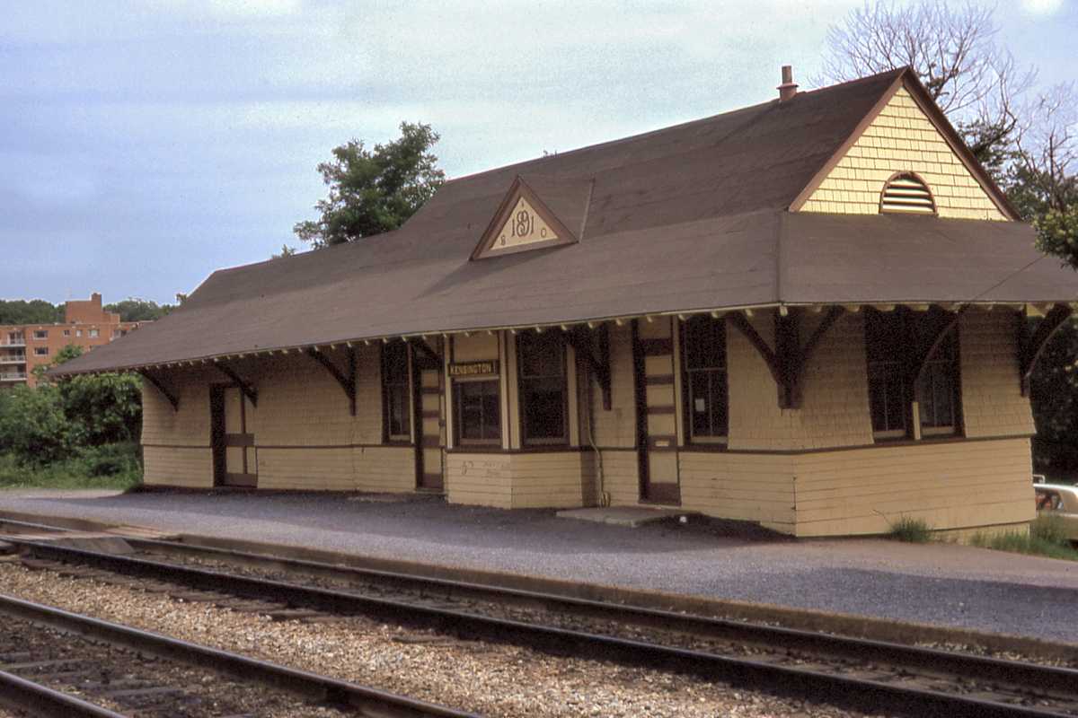
Photo credit P Darmody B&O History Collection |
| |||||||||||
| ||||||||||||
|
| |||||||||||
| ||||||||||||
Photo courtesy Dave Hiteshew |
| |||||||||||
| ||||||||||||
Photo courtesy Dave Hiteshew |
| |||||||||||
| ||||||||||||
Photo courtesy B&O History Collection |
| |||||||||||
| ||||||||||||
|
| |||||||||||
| ||||||||||||
Photo credit Montgomery County Historical Society |
| |||||||||||
| ||||||||||||
|
| |||||||||||
| ||||||||||||
Photo courtesy B&O RR Museum and Kensington Historical Society |
| |||||||||||
| ||||||||||||
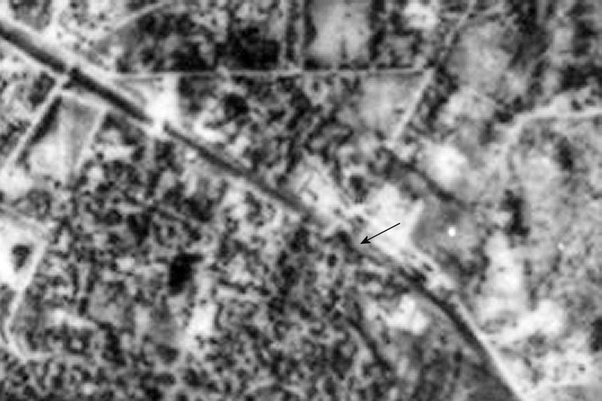
Photo courtesy Johns Hopkins University |
| |||||||||||
| ||||||||||||
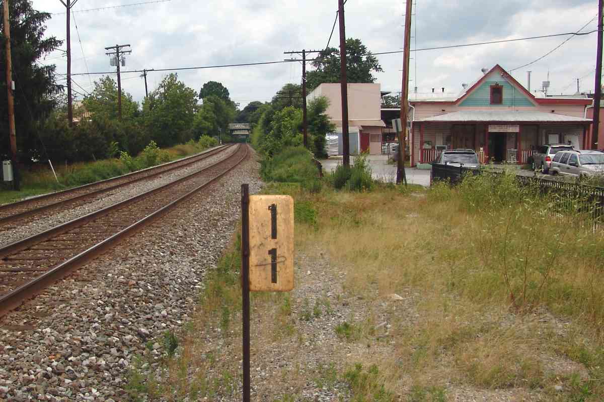
Photo courtesy Dave Hiteshew |
| |||||||||||
| ||||||||||||
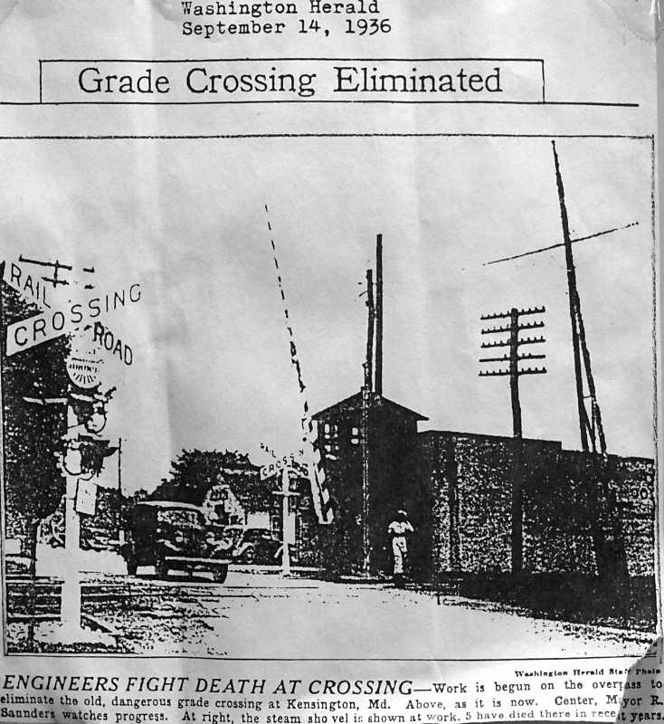
Photo credit Washington Herald |
| |||||||||||
| ||||||||||||
Or, return to main page for other tours.
Copyright Notice