TrainWeb.org Facebook Page
Old Main Line Photo Tour


B&O Old Main Line
Modern day photo tour

Accompanying each photo below are:

Click a photo to see a larger view. Please send your comments and corrections to Steve.


<< Previous (east) | THIS PAGE: Ellicott City to Union Dam | Next (west) >>

View West 2024
NEW! May 2025

View West 2024
Mile: 12.8 Date: Sep 2024
Ease: A- View: NW
Area: A- IC2:
Map: Ba 40 F 4, Ho 12 G 9 Topographic Maps

This is a familiar view to westbound drivers arriving in Ellicott City from Catonsville and Baltimore. The former B&O station is off photo left.


B&O 4148
Photo courtesy Baltimore Sun
NEW! May 2025

B&O 4148
Mile: 12.8 Date: Apr 1974
Ease: B View: SW
Area: A- IC2:
Map: Ho 12 G 9 Topographic Maps

Severe track damage by 1972's Tropical Storm Agnes came close to permanently shutting the Old Main Line, but B&O made repairs. This was the first train through after the line reopened in April 1974.


Fewer Chimneys

Fewer Chimneys
Mile: 12.8 Date: Apr 2001
Ease: B View: SW
Area: A- IC2:
Map: Ho 12 G 9 Topographic Maps

Ellicott City Station had fewer chimneys by the time of this similar photo that looks back from the adjacent Oliver Viaduct.

Link: 2008


Derailment

Derailment
Mile: 12.8 Date: Aug 2012
Ease: A View: W
Area: A- IC2:
Map: Ba 40 F 4, Ho 12 G 9 Topographic Maps

An eastbound coal train derailed near the station during August 2012, killing two people at the viaduct. This view looks west from the Baltimore County side as damaged hoppers are lifted by crane and put onto trucks to be hauled away. Awaiting cleanup atop the viaduct we can see the inside of other hoppers still tipped on their side, spilling coal toward the camera.

Coal hoppers following behind (right) tumbled off the tracks and crushed automobiles in an adjacent public parking lot. One lesson: there is a certain level of risk near the tracks even when not on railroad property.

Link: NTSB derailment report (PDF)


Date Stone

Date Stone
Mile: 12.9 Date: Oct 2024
Ease: A View: NW
Area: A- IC2:
Map: Ho 12 G 9 Topographic Maps

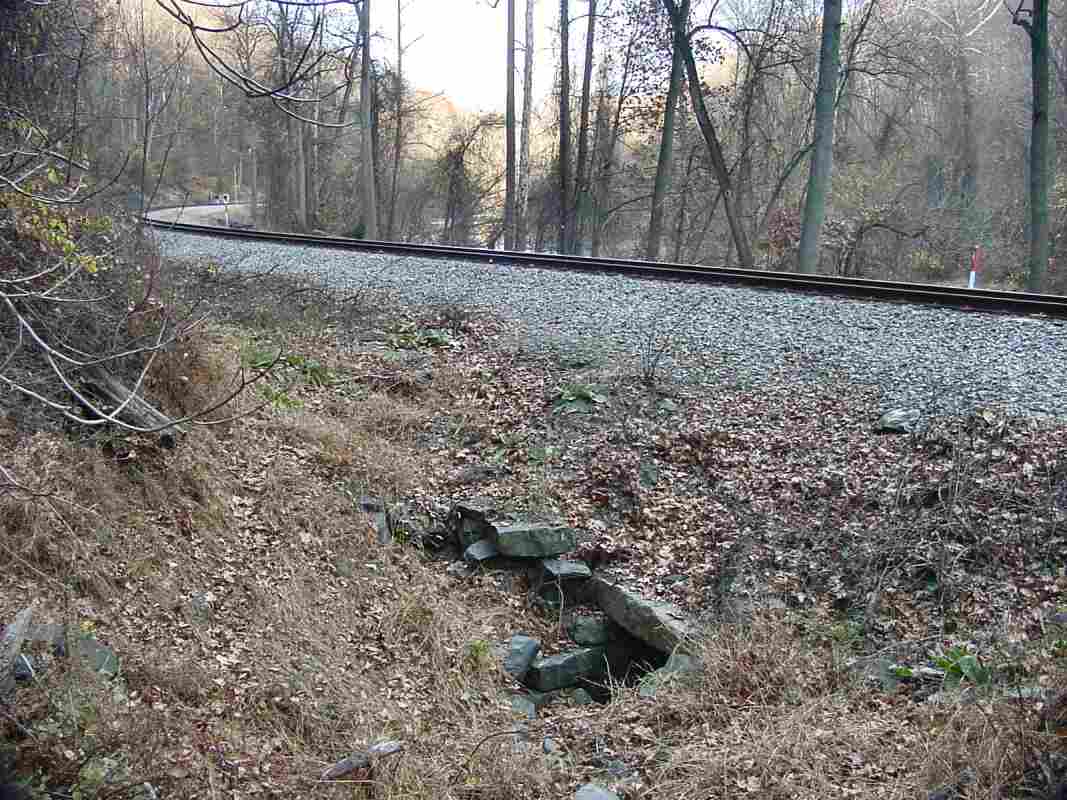
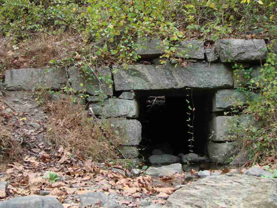
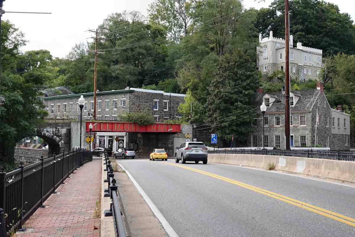
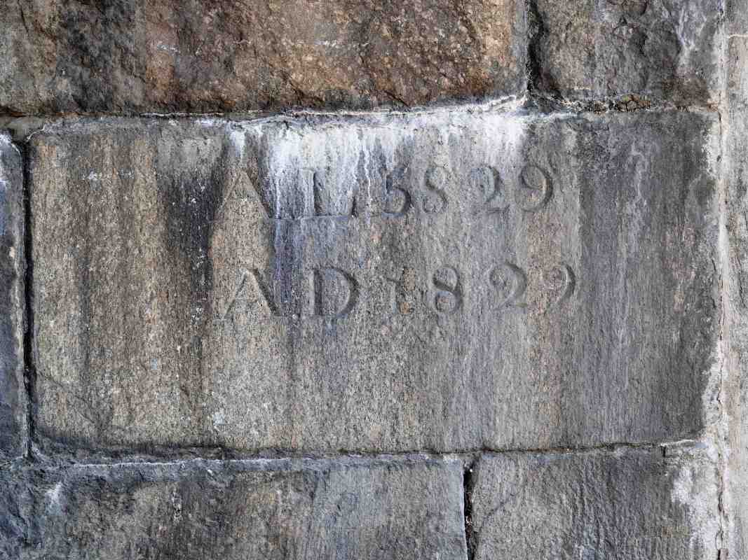
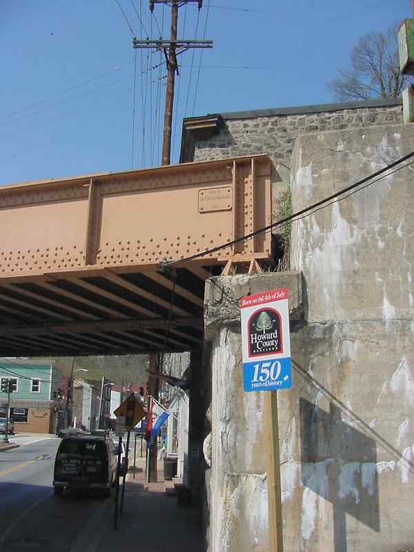
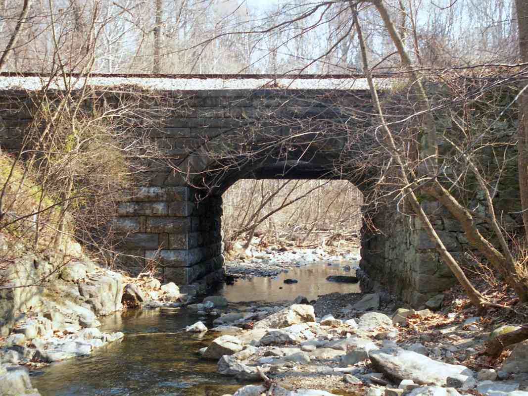
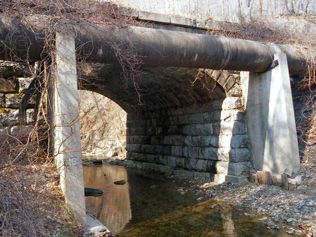
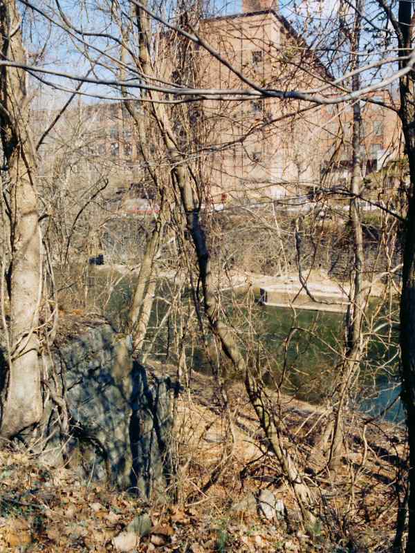
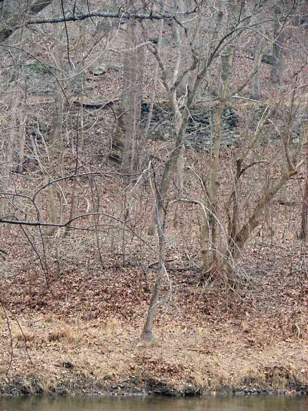
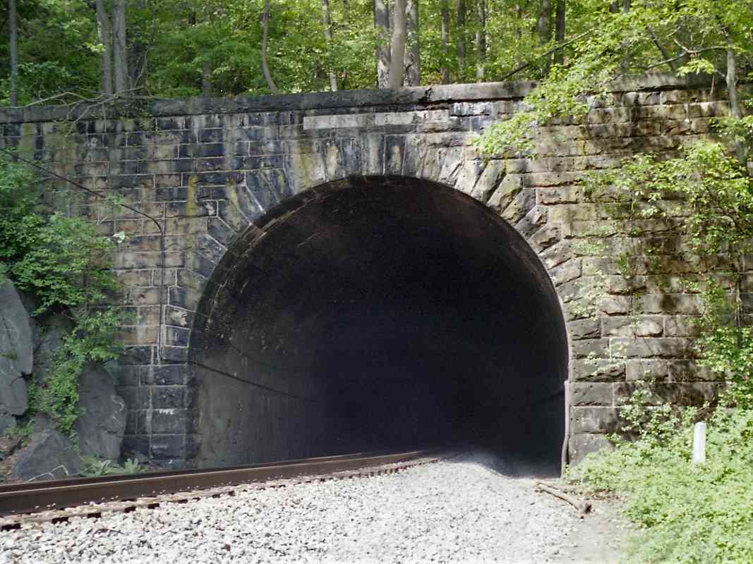
This curious date stone can be found at the northeast corner base of the Oliver Viaduct. It was laid on July 4, 1829.

Centered on the stone is A.D.1829, and chiseled above (i.e. probably as an afterthought) is A.L.5829. "A.L." stands for Anno Lucis, a calendar system employed by Freemasons. The origin is the old belief that the world was created 4,000 years before the birth of Christ. Many of the officials of the infant B&O were Freemasons.

The Chronicles of Baltimore written by Col. J. Thomas Scharf and published in 1874 described the opening of the railroad and bridge at Ellicott City as follows:

    On the 22d of May (1830), the president and directors of the Baltimore and Ohio R. R. Co. invited the members of the Legislature and other officers of the State, with the Mayor and City Council, the editorial corps, and some distinguished strangers and others, to proceed with them on their road to Ellicott's Mills. There were about 100 in all, in four carriages each drawn by one horse. In one of them Mr. Charles Carroll of Carrollton returned as far as Elk Ridge, where he took the stage and proceeded to Washington, being the first person who used this road as on a journey for business not connected with its immediate concerns. On the 24th of May the cars commenced their regular journeys for business, charging for the round trip 75 cents. On the 28th day of August, the main key-stone of the arches of the fine granite structure passing over the Frederick turnpike road at Ellicott's Mills, was adjusted in the presence of the directors of the company and many citizens assembled to witness the ceremony. Robert Oliver was called upon by the master-builder to assist in adjusting the stone; after which, the president of the company, Philip E. Thomas, addressed the spectators in a happy manner, during which he said:--"The directors of the Baltimore & O. R. R. Co., having deemed it advisable to dignify the several most important structures upon the road by the names of those citizens under whose influence and patronage this great work has been sustained, the first viaduct was honored with the name of the oldest and most revered of our citizens, the last survivor of that illustrious band who signed the instrument which declared us an independent nation. To the second was assigned the name of a liberal, patriotic, and highly esteemed fellow-citizen, William Patterson. The noble edifice of which we have just witnessed the completion, I have been instructed to designate by the name of a fellow-citizen no less distinguished for his liberality, public spirit, and generous support of the magnificent enterprise in which we have embarked. This structure will accordingly hereafter be distinguished by the name of the Oliver Viaduct."

Present Bridge
Updated May 2025

Present Bridge
Mile: 12.9 Date: Apr 2001
Ease: A View: W
Area: A- IC2:
Map: Ho 12 G 9 Topographic Maps

McClintic-Marshall By taking a few steps back from the date stone, we can see part of the steel bridge that now substitutes for two of the Oliver Viaduct's original stone arches. This incarnation of the bridge was built in 1931 by McClintic-Marshall, as the plaque attests.

Howard County celebrated its 150th anniversary on July 4, 2001 as indicated by the signpost in this view west up Main Street. Yes, when the railroad was built, Howard County was still part of Anne Arundel County. The railroad defines the border of the two counties in places.


Patapsco Hotel Door
NEW! May 2025

Patapsco Hotel Door
Mile: 12.9 Date: Sep 2024
Ease: A- View: S
Area: A- IC2:
Map: Ho 12 G 9 Topographic Maps

Patapsco Hotel stood across Main Street from the station. The version seen on the right was rebuilt from the granite blocks of the original. That circa 1930 rebuild was made necessary by an ill-fated conversion that weakened the original structure.

The green door on the right had led from the hotel directly onto the station's passenger platform. The building now holds apartments and storefronts.


Early T Rail
NEW! May 2025

Early T Rail
Mile: 12.9 Date: Oct 2024
Ease: A View: N
Area: A- IC2:
Map: Ho 12 G 9 Topographic Maps

The rusty strip across the middle of this stone wall is suspected to be a repurposed segment of early B&O T rail. It is physically smaller than main line rail used today.

This wall is at the north limit of the parking lot adjacent the OML on the north side of Main Street. The masonry previously supported a siding over S.J. Ratcliff's coal drop bins.


Ellicott City

Ellicott City
Mile: 13.0 Date: Mar 2000
Ease: C View: S
Area: A- IC2: 39
Map: Ho 12 G 9 Topographic Maps

Looking back as we depart Ellicott City yields this view. Compare to the circa 1900 similar photo in Impossible Challenge II on page 39.

The Tarpean Rock, another early obstacle for the railroad, is not visible here, but sits immediately to the right of where this photo was taken.

Link: 1984


Sucker Run

Sucker Run
Mile: 13.3 Date: Mar 2000
Ease: B View: SE
Area: A IC2:
Map: Ho 12 G 8 Topographic Maps

This fairly substantial stone arch bridge spans Sucker Run, located a short distance north of Ellicott City. Harwood's book indicates this is an original, circa 1830 bridge.


Sewer Line

Sewer Line
Mile: 13.3 Date: Mar 2000
Ease: B View: N
Area: A IC2:
Map: Ho 12 G 8 Topographic Maps

Several sewer lines like this are piped near Sucker Run. One was found broken subsequent to the flood at the end of July 2016.


Track Dresser
Photo courtesy Gene Leache

Track Dresser
Mile: 13.4 Date: Apr 2005
Ease: B View: SE
Area: A IC2:
Map: Ho 12 G 9 Topographic Maps

CSX was busy with track replacement all along the OML during the spring of 2005. Here a track dresser, aka ballast regulator, pushes the ballast into place.


Fasteners
Photo courtesy Gene Leache

Fasteners
Mile: Date: May 2005
Ease: View:
Area: IC2:
Map: Topographic Map

The track work calls attention to the various generations and styles of rail fasteners in use. According to Gene Leache, their names are (from left to right) conventional spike, folded spike, single-ring lag screw and double-ring lag screw.


Oella 1932
Photo credit per text below
Updated May 2025

Oella 1932
Mile: 13.5 Date: 1932
Ease: View: N
Area: A IC2:
Map: Ba 40 F 3, Ho 12 H 8 Topographic Maps

When the Embargo Act of 1807 reduced the supply of imported goods, local businessmen formed the Union Manufacturing Company. Its first of several mills at the site opened during 1809; others would operate here until 1972.

upstream 1915 The first railroad bridge to the mill dates to the 1850s. That original bridge was replaced during the 1880s by the one seen in the main photo that survived until the flood of 1972. The mill had ceased operation shortly before that flood.

Though the mill was hemmed in by the river, tracks were squeezed through the area as depicted in the 1915 view at left courtesy WJ Dickey, Inc. This photo predates 1918's major fire. The OML traces a dark line along the river as glimpsed at distant left.

Main photo credit: Office of Advisory Engineers on Water Supply, 1933 (unpublished), Water and Water Power Rights - Patapsco Project: Baltimore, Md., Baltimore City Department of Public Works, Public Improvement Commission, 375 pp. (digitized by the Maryland Geological Survey).

Link: 1978 Washington Post story


Oella

Oella
Mile: 13.5 Date: Mar 2000
Ease: B View: NE
Area: A IC2:
Map: Ho 12 H 8 Topographic Maps

Brush obscures railroad bridgeworks dating to the early 1850s that served the Oella cotton mill across the river. Note both the granite blocks at left and the disused concrete support in the river.

Reader Noel Tominak sent updated information:

    "I wanted to give you an update on Oella Mills, which is no longer an artist's enclave/antiques mall. It was sold to a developer in late 2004 and everything moved out over 2005. Its being completely gutted and will be rebuilt as 'The Residences at Oella Mill'."


40 Poles Per Mile

40 Poles Per Mile
Mile: 13.9 Date: Jan 2009
Ease: B View: N
Area: A IC2:
Map: Ho 12 H 7 Topographic Maps

B&O labeled every tenth utility pole with an asphalt tile. Along the OML, utility poles were planted about 130 feet apart, making for 40 poles per mile. If a train stopped due to, for example, a bad car, the crew could count poles to identify and communicate the car's location. GPS and RFID tags rendered that reckoning system outdated and, since photo time, CSX has removed almost all these poles from the OML.


Millrace

Millrace
Mile: 14.1 Date: Jan 2009
Ease: B View: E
Area: A IC2:
Map: Ho 12 H 7 Topographic Maps

The railroad was not the only customer for cut stone. Across on the Baltimore County side of the river are found remains of the Union Manufacturing Company's millrace.


View 1912
Photo courtesy Duke University
NEW! May 2025

View 1912
Mile: 14.7 Date: May 1912
Ease: C View: N
Area: A- IC2:
Map: Ho 12 H 5 Topographic Maps

At photo time, B&O had been operating here for less than a century. This is one of very few pre-WWI photos that illustrates the OML outside of towns. Per the panel below, this happens to be a spot that changed very little subsequent to the 1912 photo.

Link: source photo


Culvert

Culvert
Mile: 14.7 Date: Nov 2001
Ease: C View: NE
Area: A IC2:
Map: Ho 12 H 5 Topographic Maps

Beyond Ellicott City, the railroad re-enters Patapsco Valley State Park. Several small piped and box culverts like this one near River Ridge Trail can be found along this stretch.


Sloppy Culvert
NEW! May 2025

Sloppy Culvert
Mile: 14.7 Date: Oct 2021
Ease: C View: W
Area: A- IC2:
Map: Ho 12 H 5 Topographic Maps

This is the outlet end of the culvert of the prior panel.

After B&O reached Ellicott City, the company's expensive, exacting construction standards were relaxed a bit. This showed up first in culverts made of stone cut and fit with less precision. This box culvert is not as pretty as others but was still functioning about 200 years after it was assembled.


Wasps

Wasps
Mile: 14.8 Date: Nov 2001
Ease: C+ View: NW
Area: A IC2:
Map: Ho 12 H 5 Topographic Maps

Wasps made a home on the back of this B&O-style positional signal. CSX has since replaced such signals along the OML with more modern ones.


Greenery

Greenery
Mile: 14.9 Date: May 1999
Ease: C+ View: SW
Area: A IC2:
Map: Ho 12 J 5 Topographic Maps

Spring greenery makes this a scenic location. This spot is just south of the South (East) portal of Union Dam Tunnel. It can be reached via the challenging Union Dam Trail down from the Hollofield Area of the park accessed via US Route 40. The trail is sloped and slippery, even when dry, and not recommended for casual walkers. CSX removed these signals and utility poles after this photo.


Union Dam Tunnel

Union Dam Tunnel
Mile: 15.0 Date: May 1999
Ease: C+ View: NE
Area: A IC2:
Map: Ho 12 J 4 Topographic Maps

Built in 1902, Union Dam tunnel cuts off another sharp bend of the Patapsco River. Even so, the tunnel is constructed in a 7-degree curve, the most severe on the OML.


<< Previous (east) | THIS PAGE: Ellicott City to Union Dam | Next (west) >>

Or, return to main page

Copyright Notice