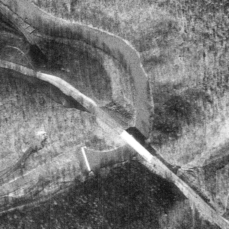
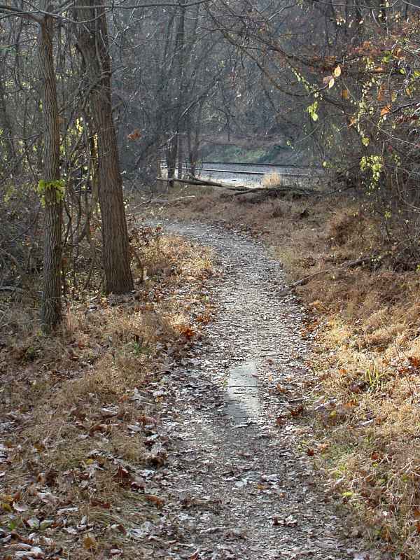
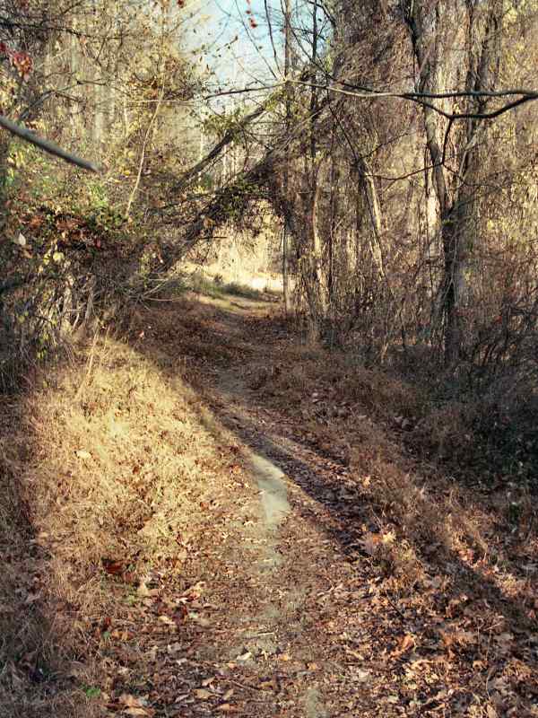
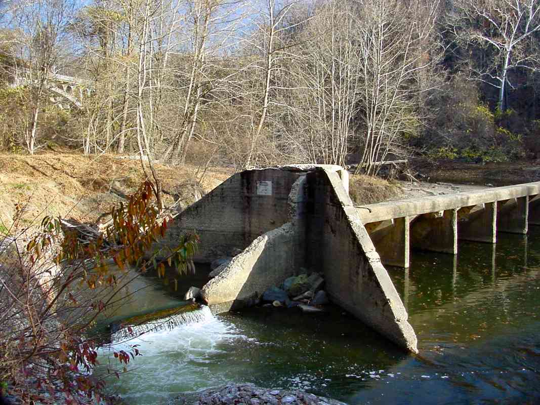
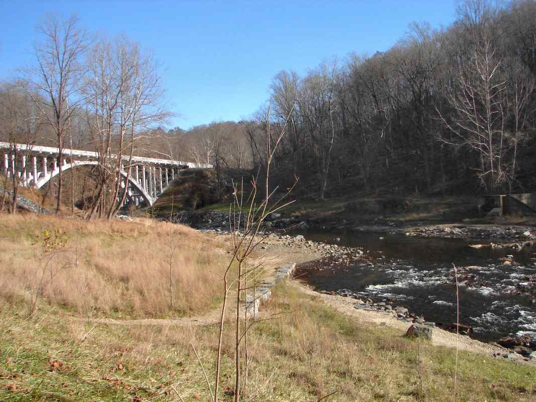
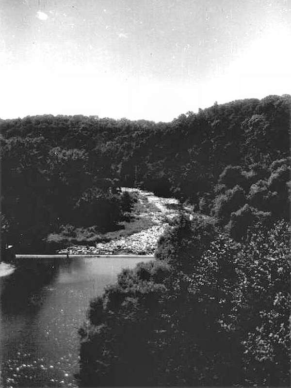
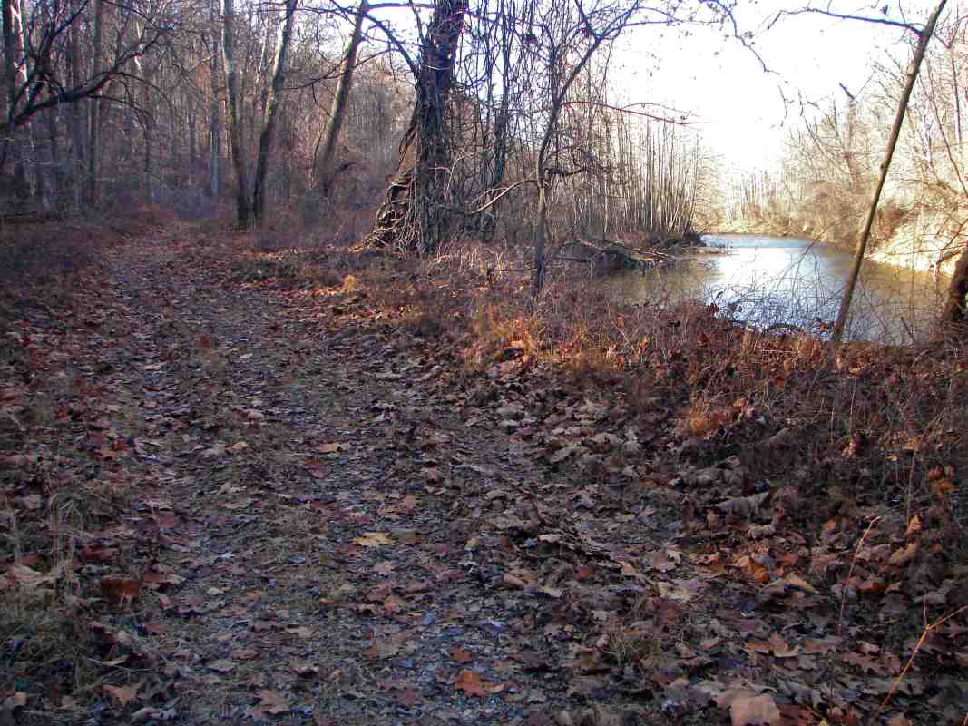
TrainWeb.org Facebook Page
Old Main Line Photo Tour


B&O Old Main Line
Modern day photo tour

Accompanying each photo below are:

Click a photo to see a larger view. Please send your comments and corrections to Steve.


<< Previous (east) | THIS PAGE: disused at Union Dam | Next (west) >>

Union Dam - Brief Historical Background:

Diverge
NEW! Dec 2013

Diverge
Mile: 15.0 Date: Nov 2013
Ease: C View: NE
Area: A IC2:
Map: Ho 12 J 4 Topographic Maps

The original alignment continued ahead to the right then turned sharply left. The turn was so sharp even Union Dam tunnel could not completely straighten it, and it too curves to the left, though less abruptly.


Stone Stringers

Stone Stringers
Mile: 15.0 Date: Nov 2001
Ease: C View: SW
Area: A IC2:
Map: Ho 12 J 4 Topographic Maps

A few original granite stringers, used in 1830 instead of wooden ties, have been exposed along the right-of-way bypassed by the tunnel. The existing tracks appear in the distance, and the tunnel portal is hidden on the right.


Stone Stringers 2

Stone Stringers 2
Mile: 15.0 Date: Nov 2001
Ease: C View: NE
Area: A IC2:
Map: Ho 12 J 4 Topographic Maps

The same stringers as seen looking the opposite direction.

In the distance is part of Union Dam.


Union Dam

Union Dam
Mile: 15.0 Date: May 1999
Ease: C+ View: E
Area: A IC2:
Map: Ho 12 J 4 Topographic Maps

The alignment had curved within sight of Union Dam. The dam had been disused for at least 20 years when, in 1972, floods from Tropical Storm Agnes breached it and carved out the route around it seen here. Over subsequent years, the river washed away so much of the bank that stone-in-wire-mesh cages seen at the bottom were dropped along the shoreline to reduce erosion. The stone has obscured any surviving stringers in this spot.
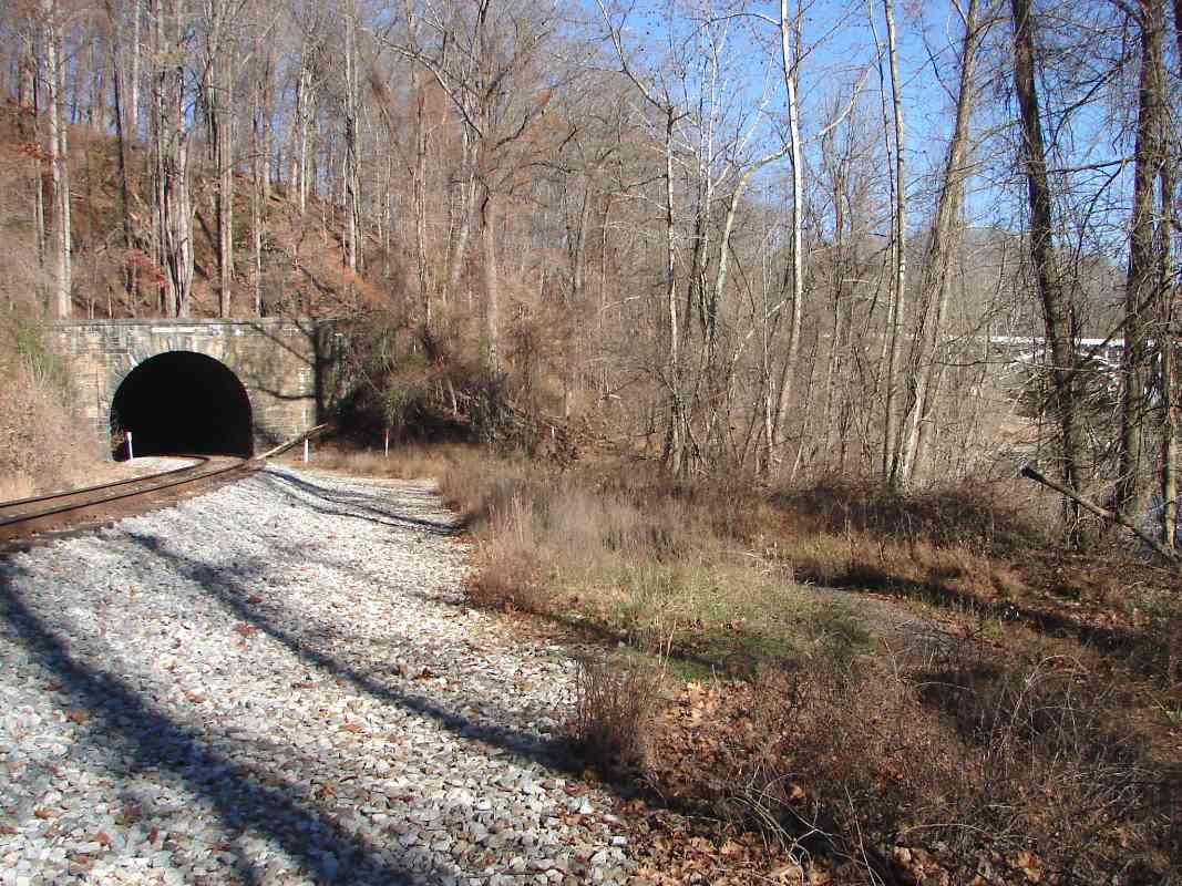
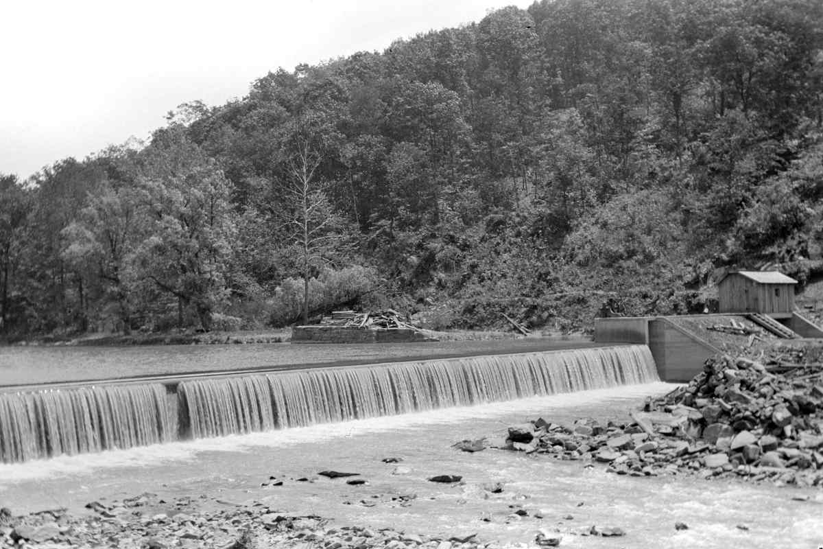
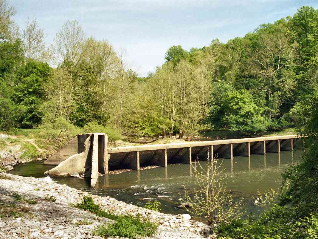
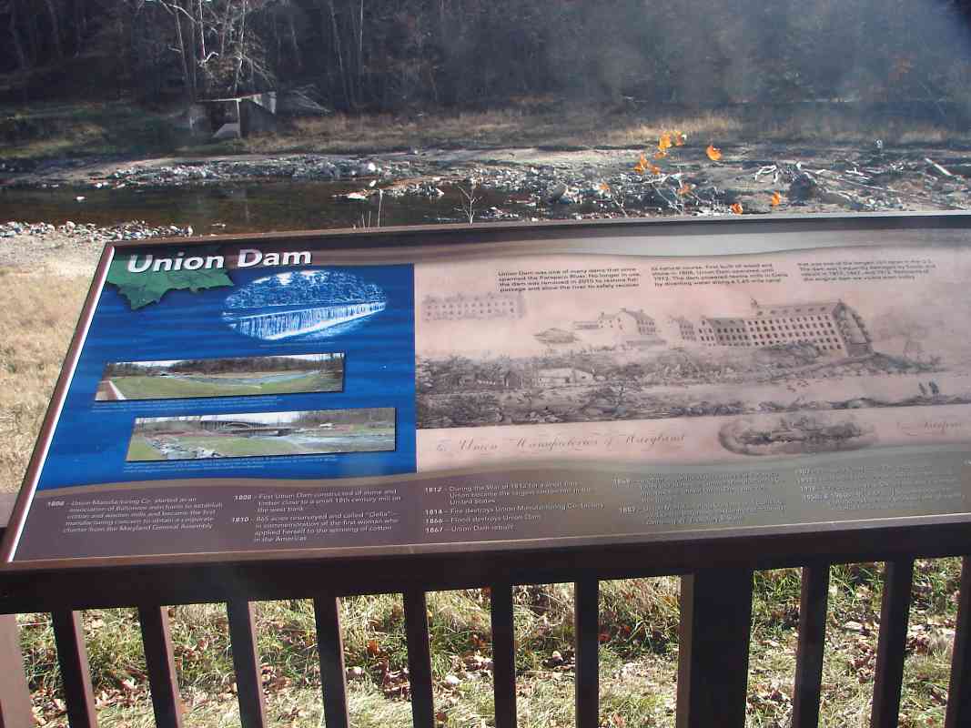
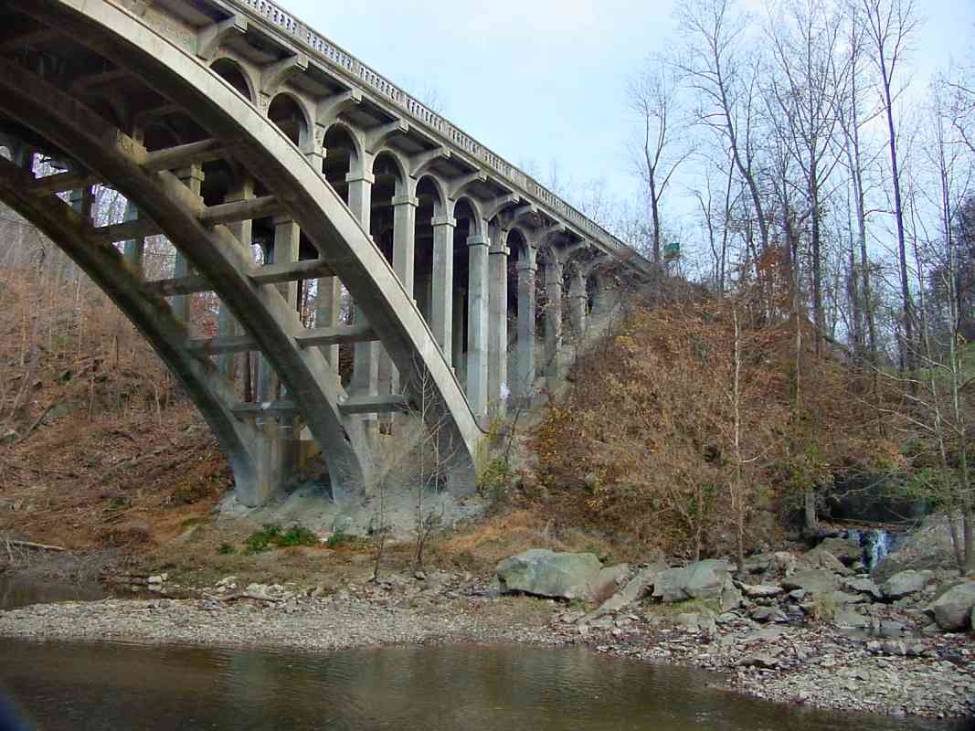
The original dam near this location was built by the Union Manufacturing Company about 1808. The company's founder, William Patterson, for whom the Patterson Viaduct is named, would later become a director of B&O. A successor company, WJ Dickey, built the concrete dam seen here around 1914.

Links: 1912, mill race, 1833 trip from Baltimore


Breach

Breach
Mile: 15.0 Date: Nov 2001
Ease: C+ View: E
Area: A IC2:
Map: Ho 12 J 4 Topographic Maps

At low water, this does not look like a formidable obstacle for kayakers, but at other times it is, and more than one person was trapped in the whirlpool and drowned.

In the distance is a bridge that carries US Route 40 over the Patapsco River between Baltimore and Howard counties.


Dam Gone
NEW! Dec 2013

Dam Gone
Mile: 15.0 Date: Nov 2013
Ease: C+ View: E
Area: A IC2:
Map: Ho 12 J 4 Topographic Maps

To eliminate the hazard and restore the river, work began in 2010 to remove the dam remnants. At photo time, landscaping finishing touches were underway. This photo was snapped close to the spot of the older one above.


Sign
NEW! Dec 2013

Sign
Mile: 15.0 Date: Nov 2013
Ease: C+ View: SE
Area: A IC2:
Map: Ho 12 J 4 Topographic Maps

Interpretive signage tells the story of the river, dam and mill. This can be accessed via a steep trail down from the Hollofield Area of Patapsco State Park. During the 19th century westbound B&O trains passed right to left at this spot.


US 40 Bridge

US 40 Bridge
Mile: 15.2 Date: Nov 2001
Ease: C View: E
Area: A IC2:
Map: Ho 12 J 4 Topographic Maps

The 1936-built bridge for US 40 was reconstructed between 2010 and 2013.

The bridge crosses high above the Union Dam tunnel. It required a fair amount of fill that has obscured much of the OML's original alignment underneath. The small stream on the far bank at right is named Miller Run.

Links: replacement, facts


From US 40
Photo by NRHP

From US 40
Mile: 15.1 Date: 1950s
Ease: View: S
Area: A IC2: 20
Map: Ho 12 J 4 Topographic Maps

This photo offers the reverse perspective, looking downstream from US 40 before the dam was damaged by floods. The railroad is hidden by the trees on the right.


Path
NEW! Dec 2013

Path
Mile: 15.2 Date: Nov 2013
Ease: C View: NW
Area: A IC2:
Map: Ho 12 J 4 Topographic Maps

Beyond the fill for US 40, a riverside path marks the original alignment. I saw no stringers here, but they likely remain buried under decades of leaves and mud.


Rejoin
NEW! Dec 2013

Rejoin
Mile: 15.2 Date: Nov 2013
Ease: C View: NW
Area: A IC2:
Map: Ho 12 J 4 Topographic Maps

The path emerges at the current railroad alignment.


Union Dam Tunnel

Union Dam Tunnel
Mile: 15.2 Date: Jan 2000
Ease: C View: S
Area: A IC2:
Map: Ho 12 J 4 Topographic Maps

Under the snow, the original alignment curves in from the left to meet the present day trackage.

Despite cutting off much of the curve, the Union Dam tunnel still forces a sharp bend in the rails at the tunnel's North (West) portal.


<< Previous (east) | THIS PAGE: disused at Union Dam | Next (west) >>

Or, return to main page

Copyright Notice