TrainWeb.org Facebook Page
Old Main Line Photo Tour


B&O Old Main Line
Modern day photo tour

Accompanying each photo below are:

Click a photo to see a larger view. Please send your comments and corrections to Steve.


<< Previous (east) | THIS PAGE: Sykesville Tunnel | Next (west) >>

Sykesville Tunnel - Brief Historical Background:

Pre-Tunnel

Pre-Tunnel
Mile: 29.3 Date: Jan 2000
Ease: C View: NW
Area: B IC2:
Map: Ca 34 J 4, Ho 4 J 5 Topographic Maps

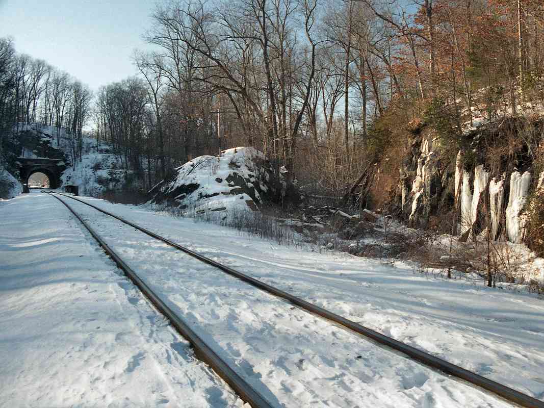
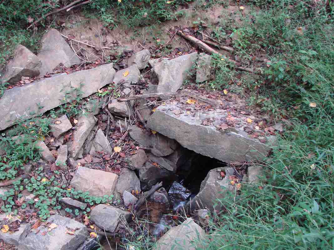
The namesake tunnel is about a half mile west of Sykesville. The center of this photo shows how the original route cut through a hillside in order to stay on the north (right) side of the river.

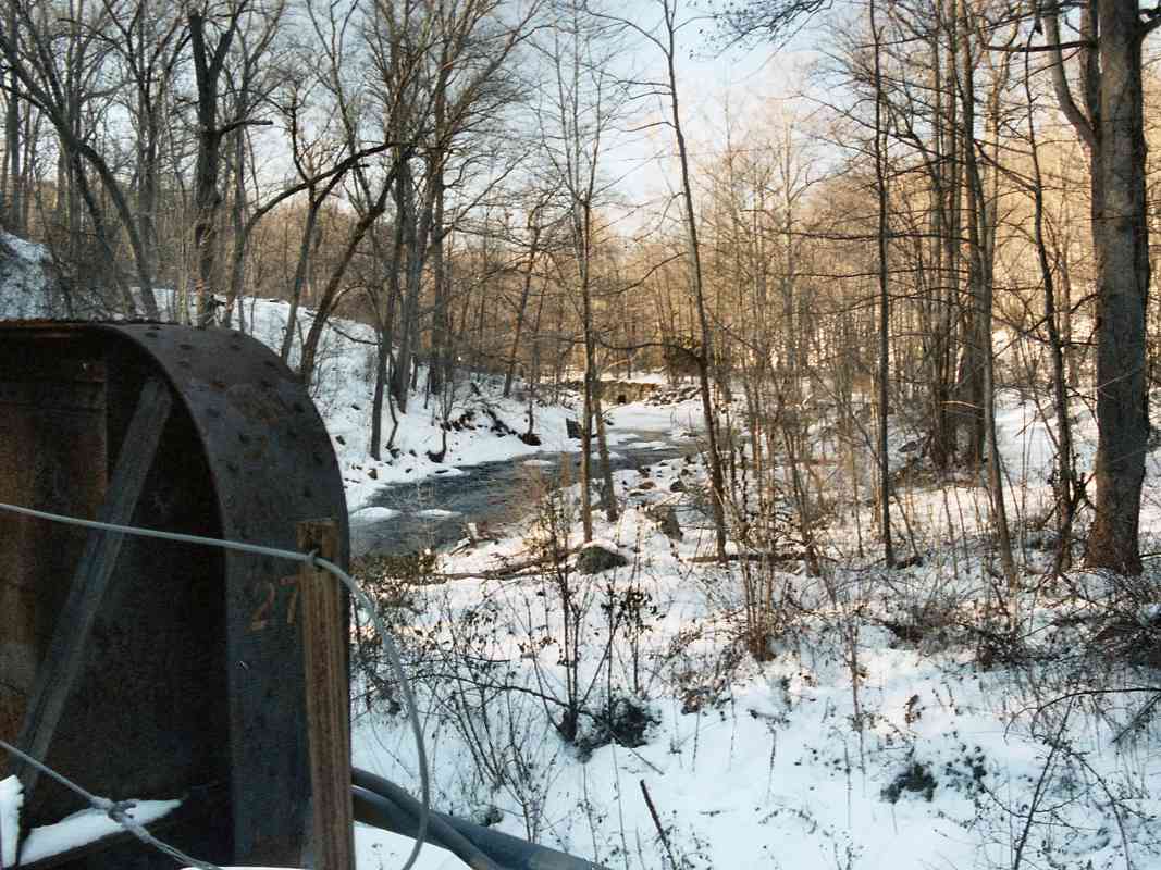
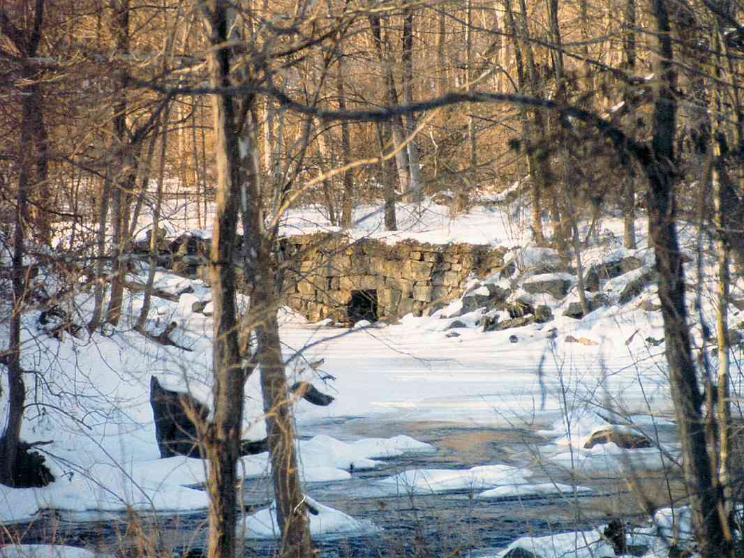
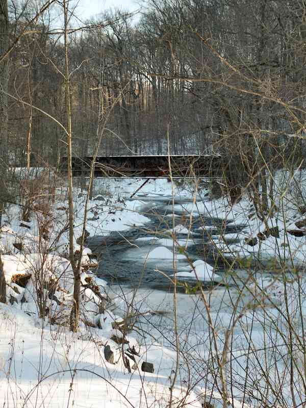
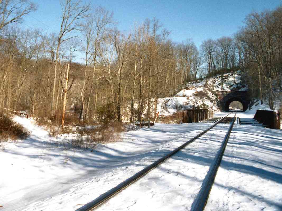
The current route on the left, which dates to 1903, crosses the river back into Howard County, runs through the short tunnel and immediately crosses the river again. This must have been a troublesome section for B&O to have justified the cost of all these structures.


Bypassed Culvert

Bypassed Culvert
Mile: 29.4 Date: Jan 2000
Ease: C View: NW
Area: B IC2:
Map: Ca 34 J 4, Ho 4 J 5 Topographic Maps

In the distance, from the bridge east of the tunnel, upstream you can see an original, now disused culvert. This one is unique in that it is accompanied by an extensive retaining wall. Perhaps B&O was fighting a losing battle vs. river generated erosion here, and finally gave up and built the tunnel.


Zoom Culvert

Zoom Culvert
Mile: 29.4 Date: Jan 2000
Ease: C View: NW
Area: B IC2:
Map: Ca 34 J 4, Ho 4 J 5 Topographic Maps

The stone cutting is imprecise by B&O standards.


Summer Visit
NEW! early-Aug 2025

Summer Visit
Mile: 29.4 Date: Sep 2019
Ease: C View: NW
Area: B IC2:
Map: Ca 34 J 4, Ho 4 J 5 Topographic Maps

I returned during summer about 20 years later.


Inlet End
NEW! early-Aug 2025

Inlet End
Mile: 29.5 Date: Sep 2019
Ease: C View: NW
Area: B IC2:
Map: Ca 34 J 4, Ho 4 J 5 Topographic Maps

My hope the culvert's inlet would be grand was dashed. This is crude construction relative to other original OML box culverts.


Reverse

Reverse
Mile: 29.5 Date: Jan 2000
Ease: C View: SE
Area: B IC2:
Map: Ca 34 J 4, Ho 4 J 5 Topographic Maps

It's a snowy river scene when looking back from atop the culvert.


With Bypassed Route

With Bypassed Route
Mile: 29.7 Date: Jan 2000
Ease: B View: E
Area: B IC2:
Map: Ca 34 H 4, Ho 4 H 5 Topographic Maps

From the other (west) side of the tunnel, snow on the left highlights the original right of way.


<< Previous (east) | THIS PAGE: Sykesville Tunnel | Next (west) >>

Or, return to main page

Copyright Notice