


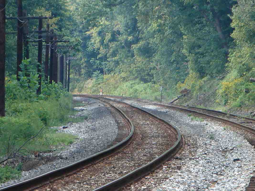
 Below is a list of photos at mileposts along the B&O (now CSX) Old Main Line (OML)
in Maryland. The main purpose of this list is to illustrate terrain changes as
the OML heads west from Baltimore. Many of these
photos do not appear in the OML tour because they show
nothing of particular historical note.
Below is a list of photos at mileposts along the B&O (now CSX) Old Main Line (OML)
in Maryland. The main purpose of this list is to illustrate terrain changes as
the OML heads west from Baltimore. Many of these
photos do not appear in the OML tour because they show
nothing of particular historical note.
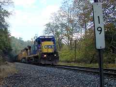
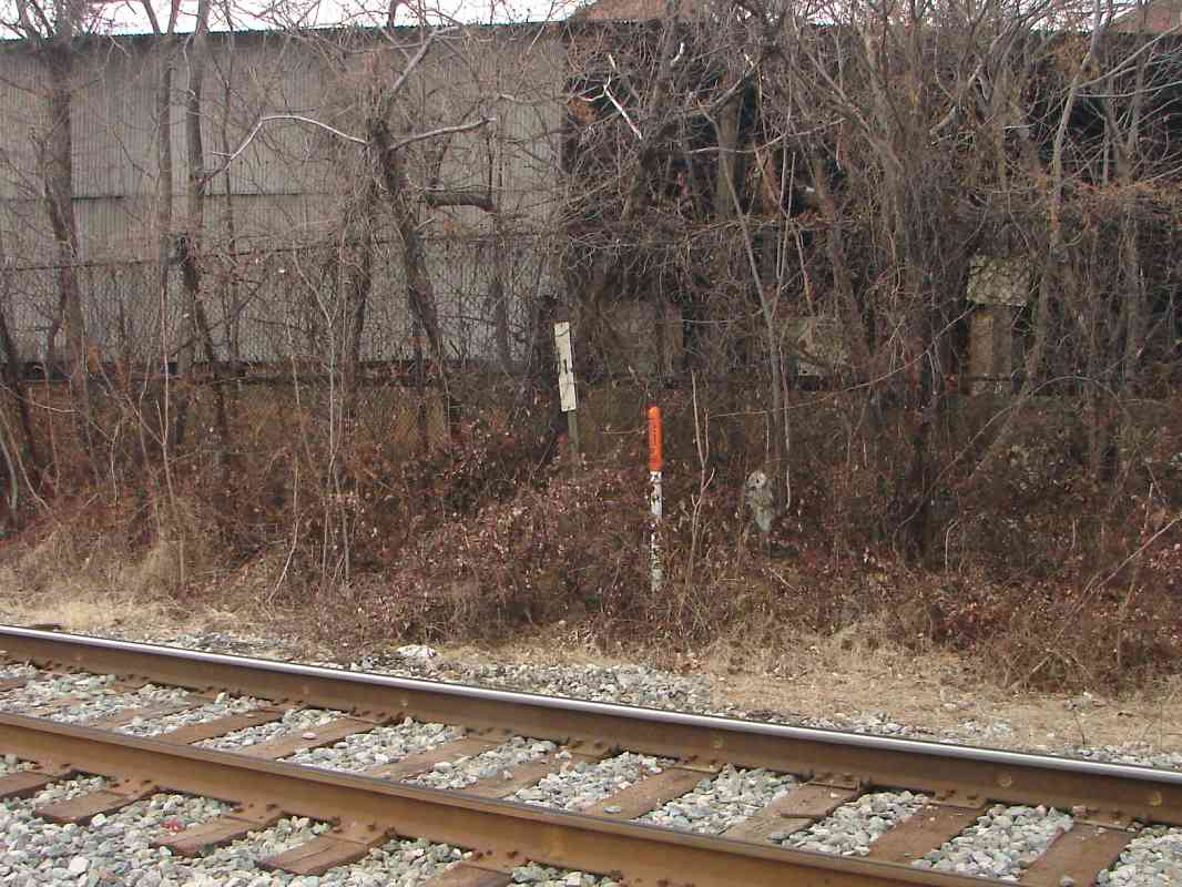
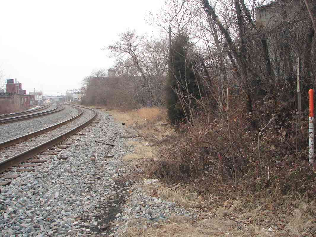
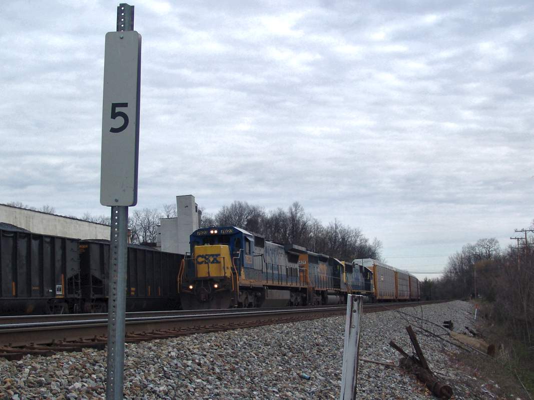
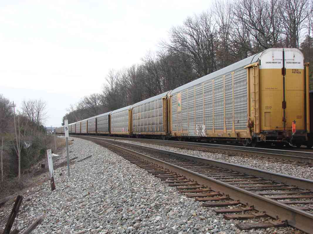
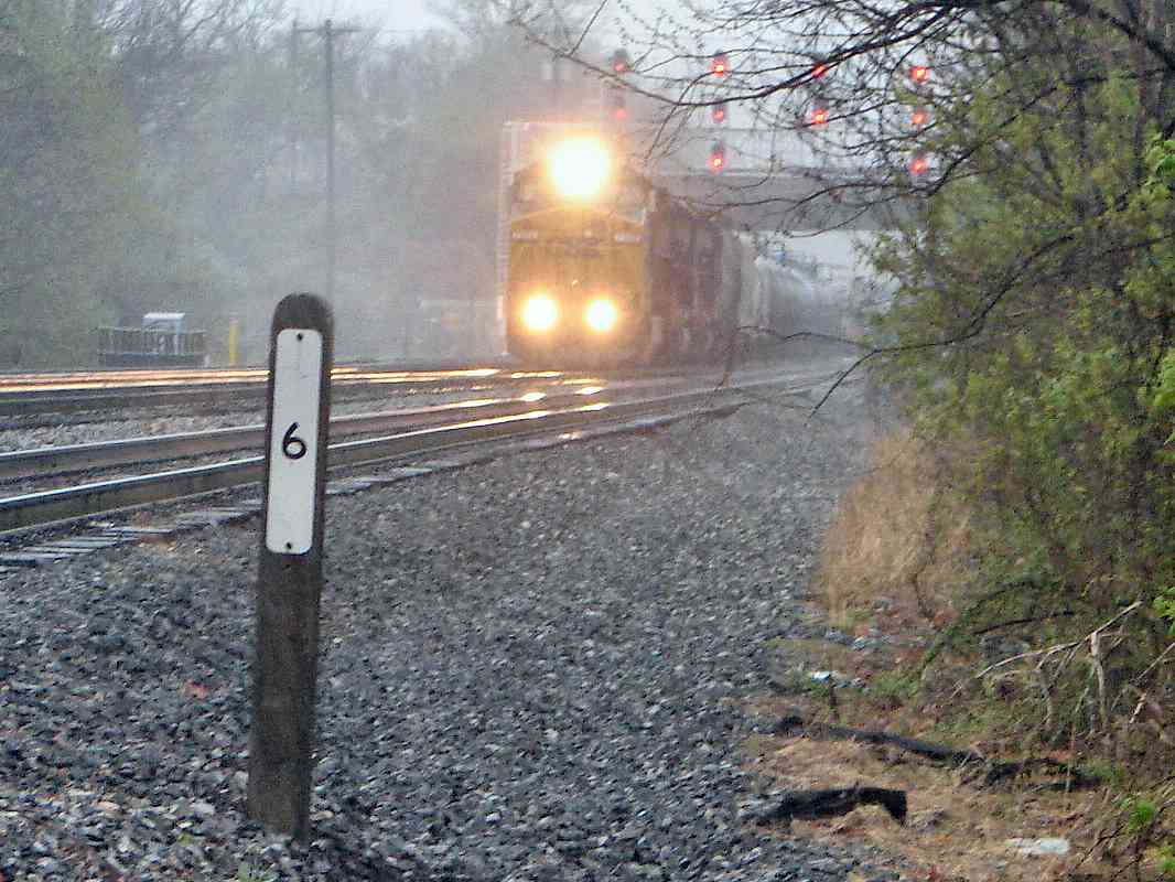
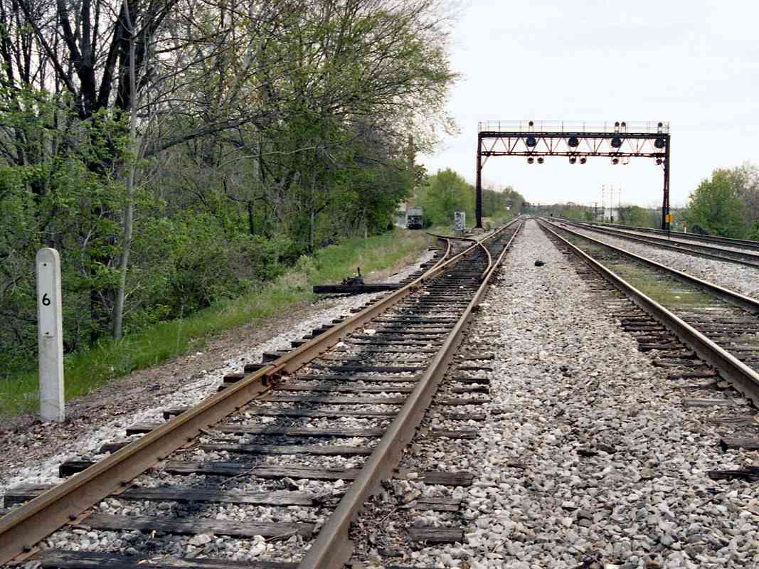
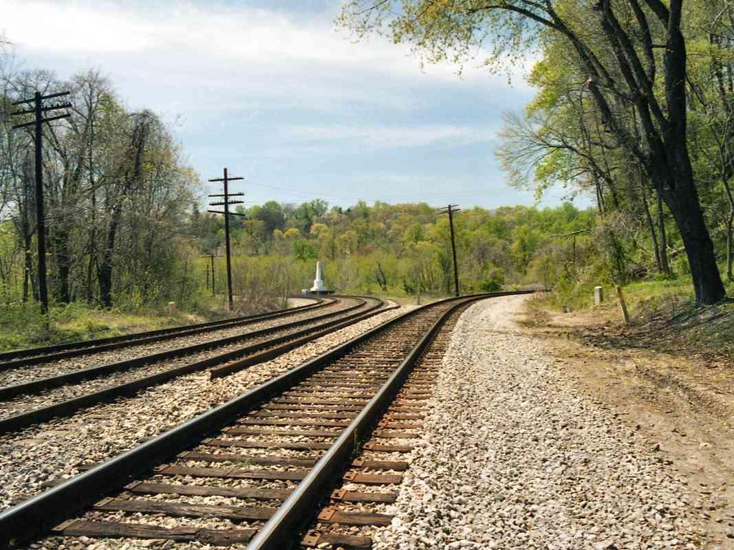
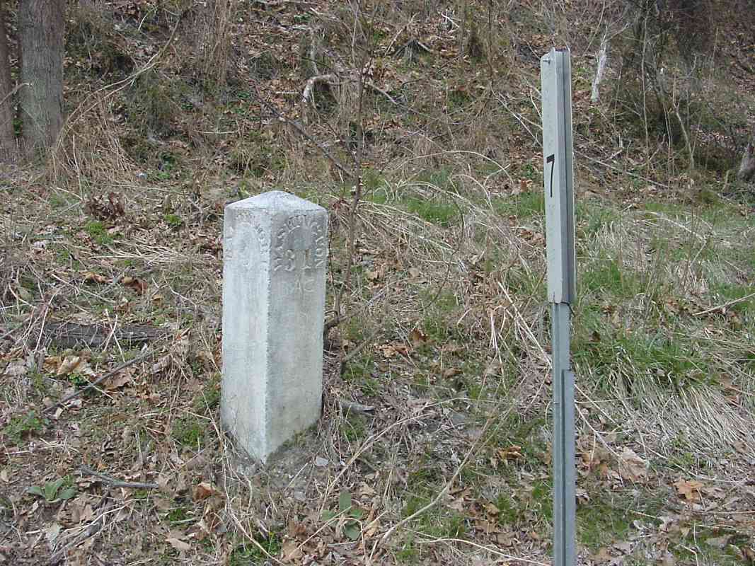
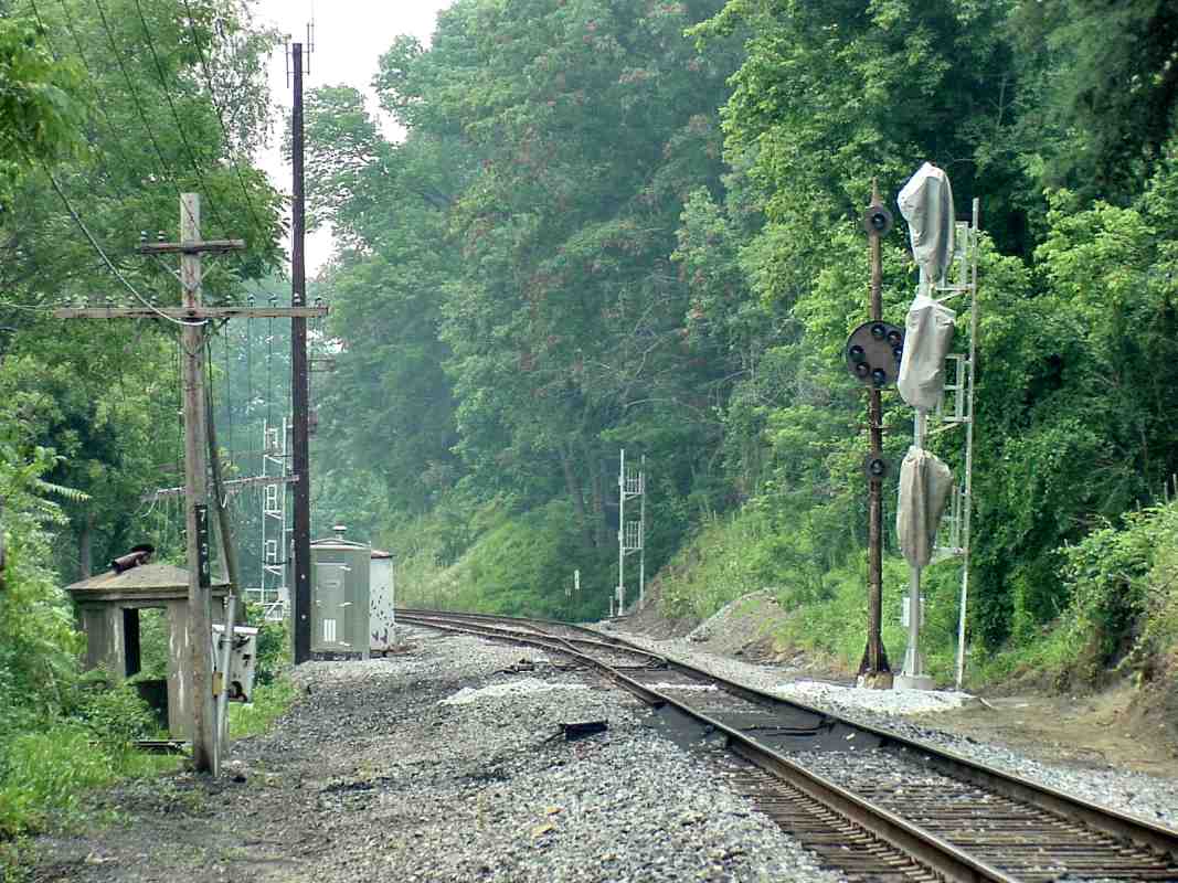
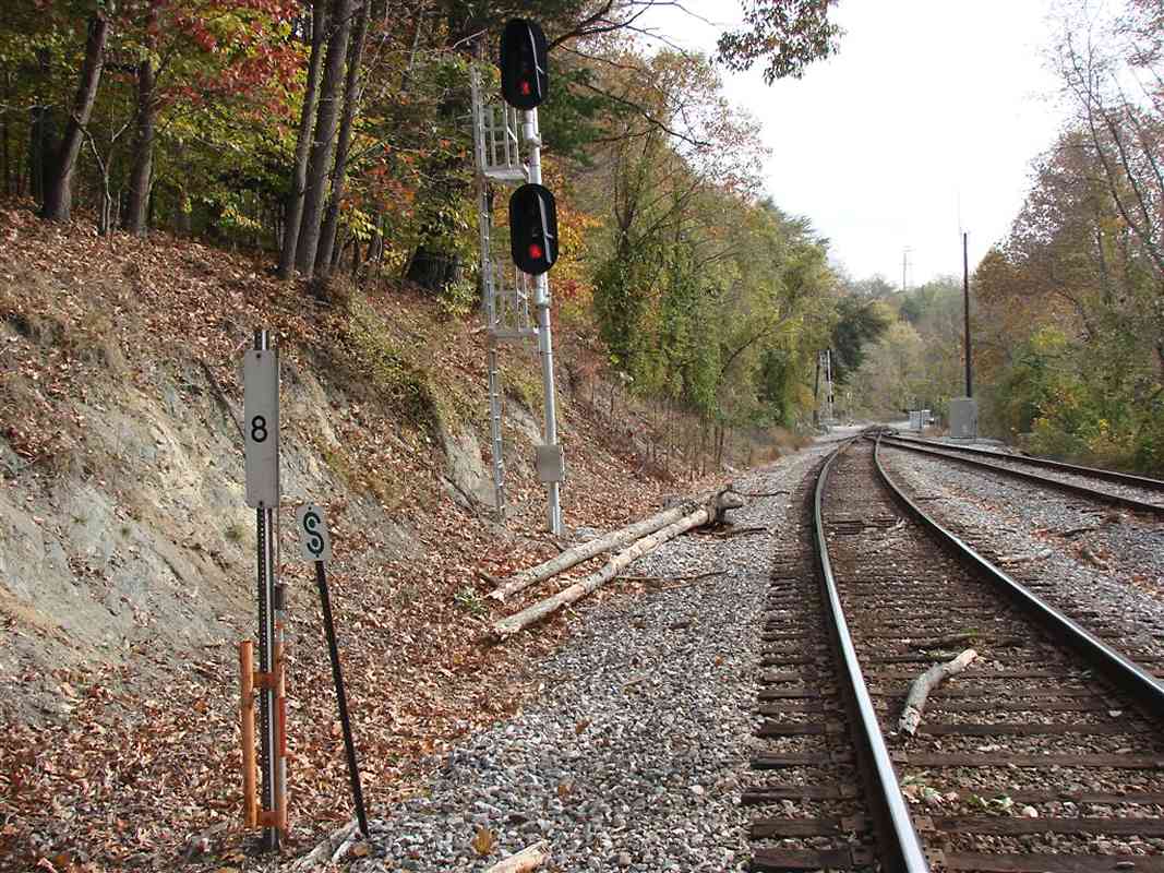
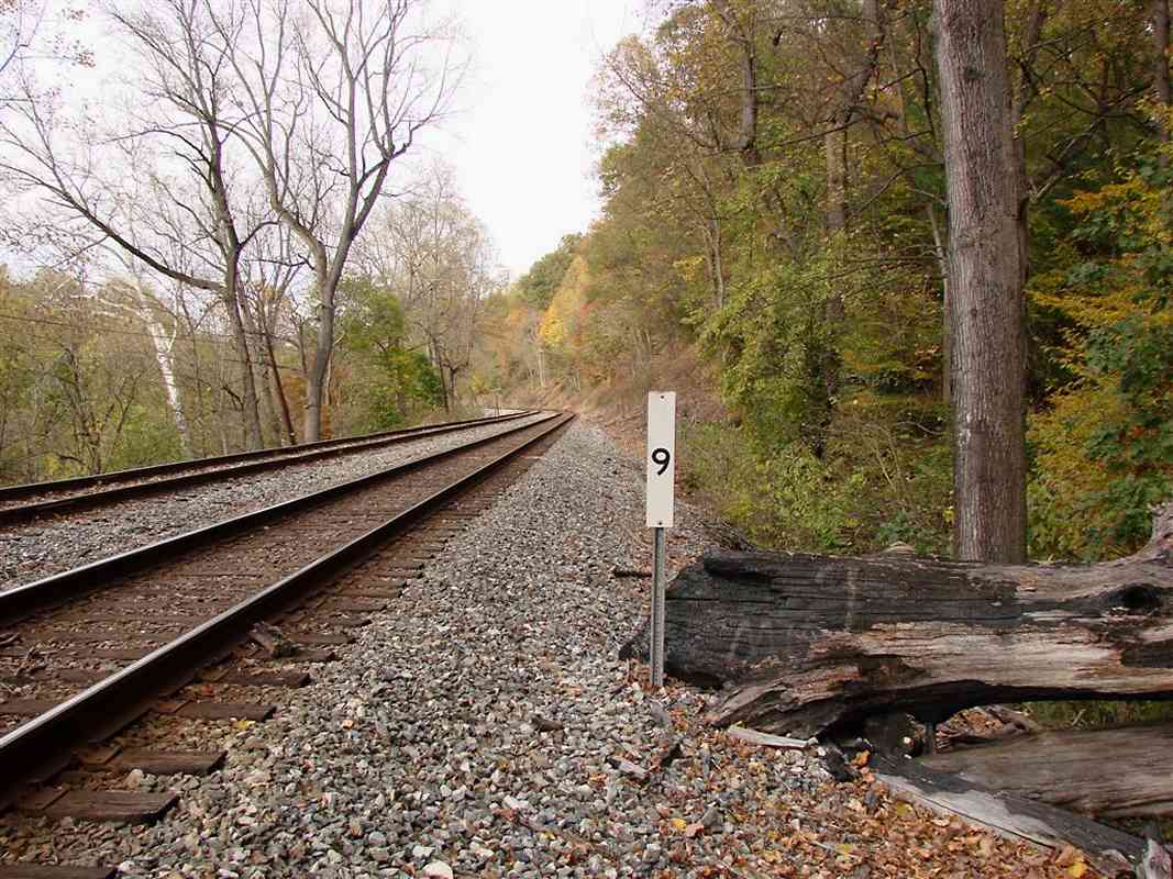
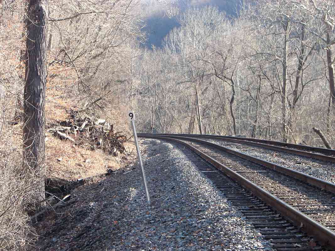
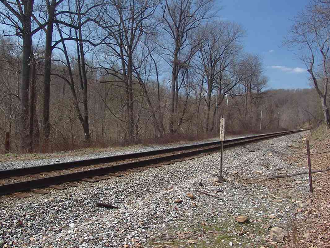
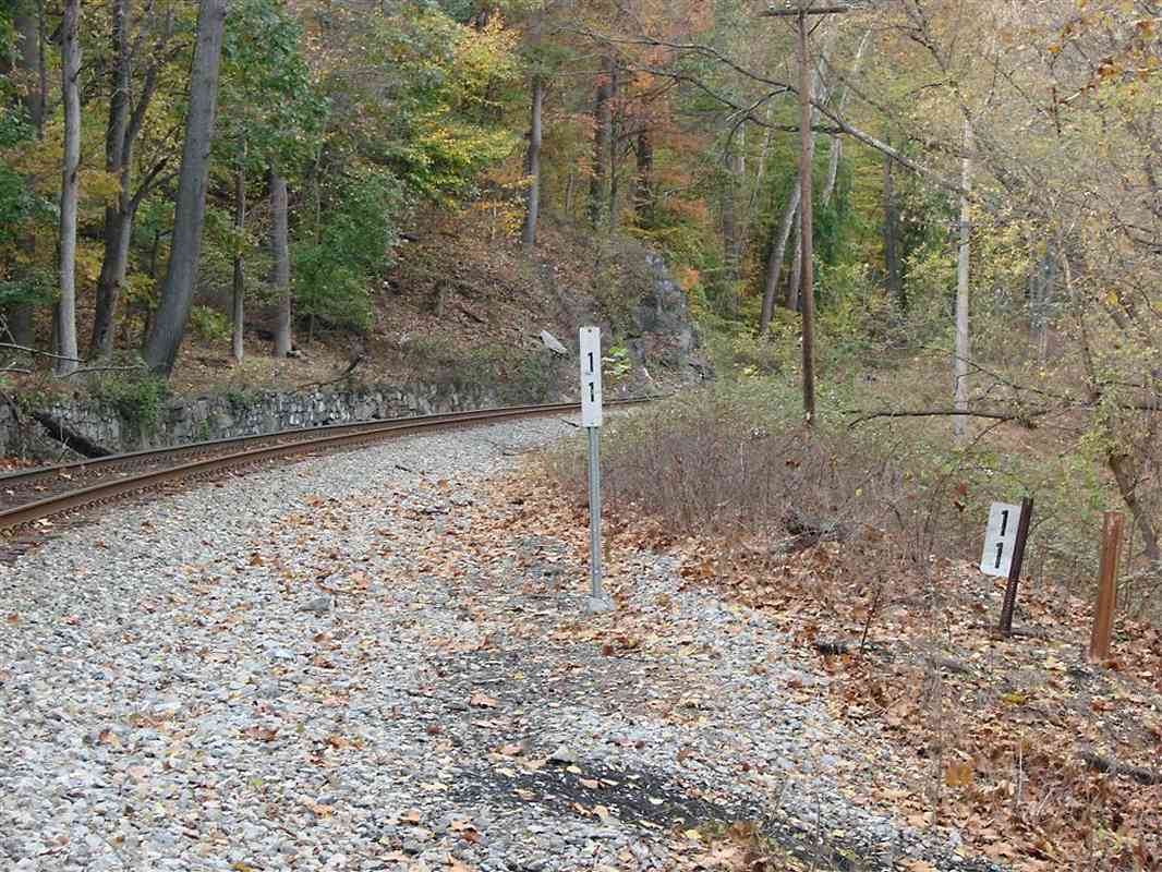
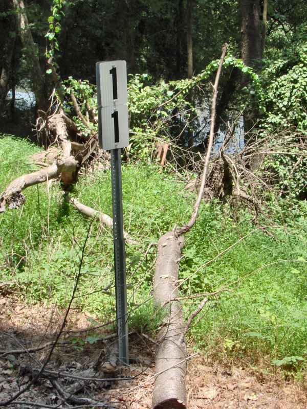
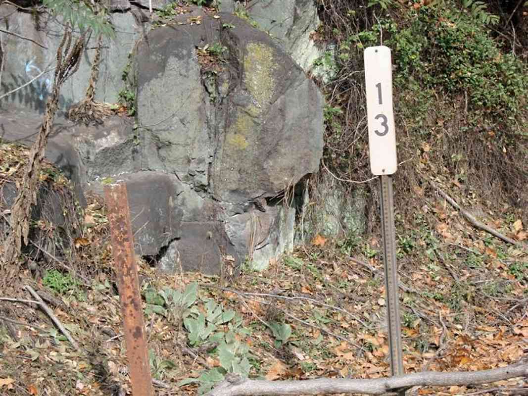
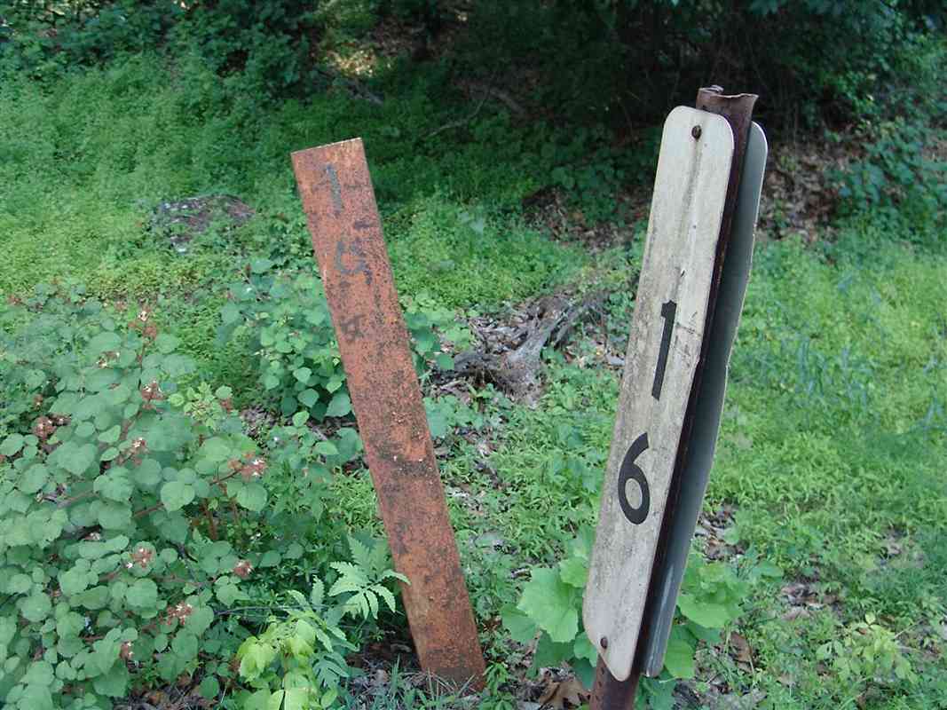
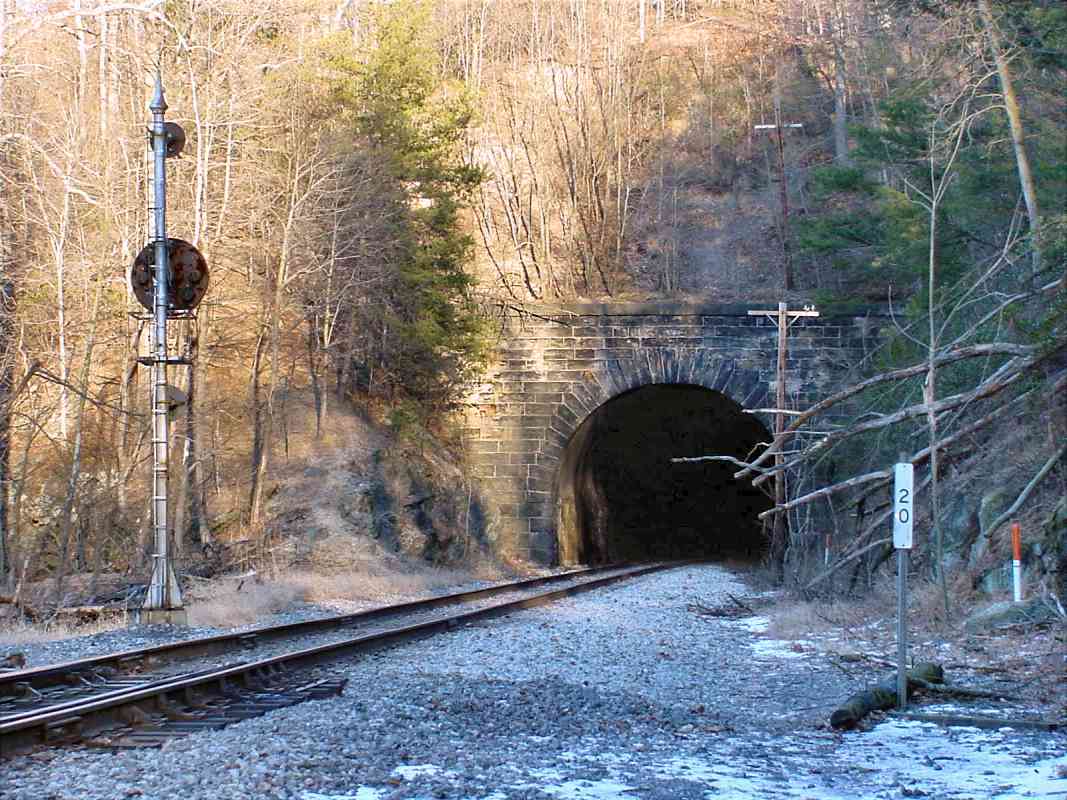
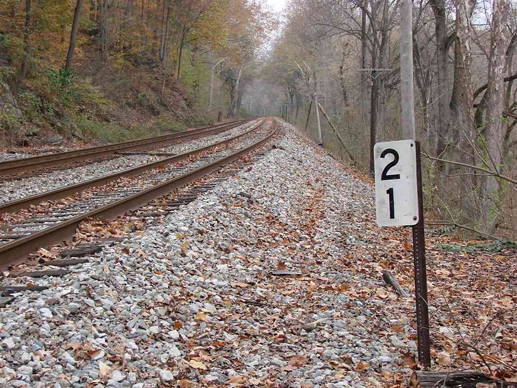
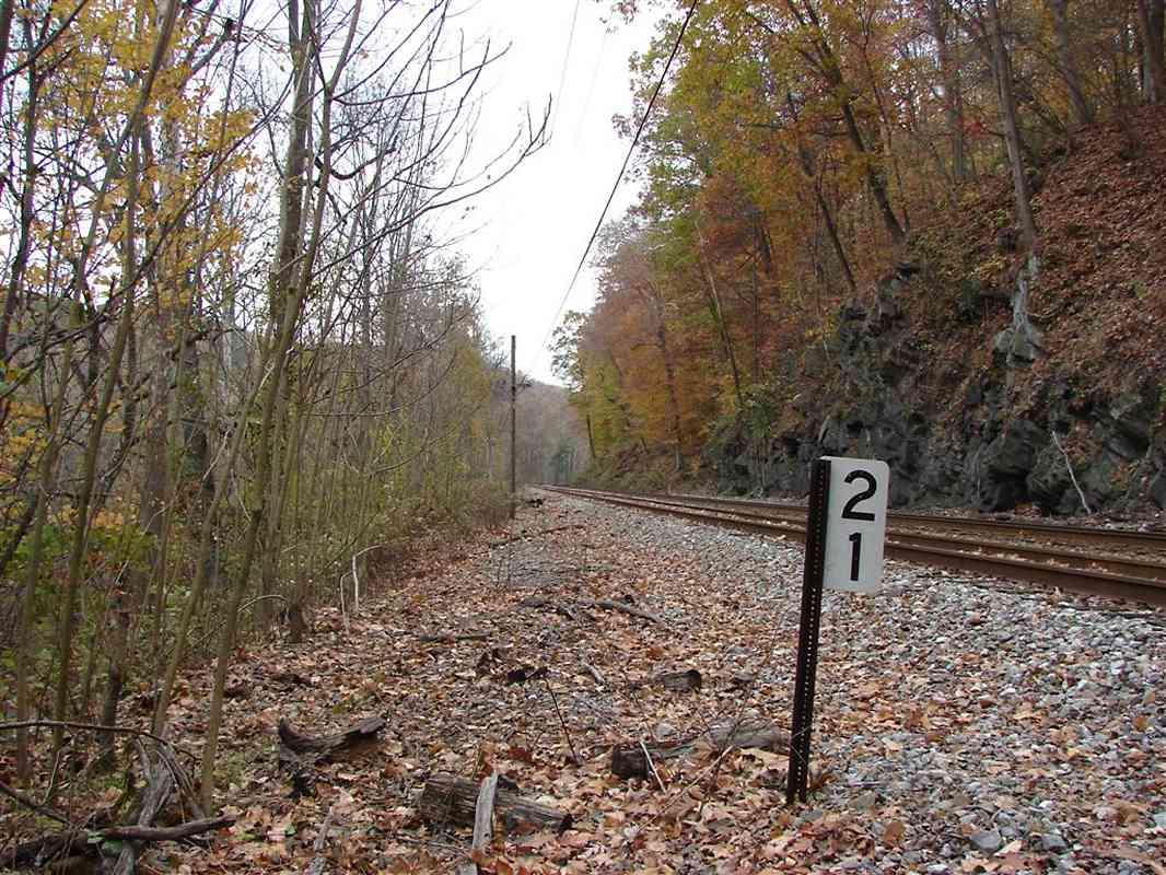
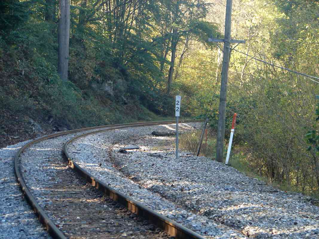
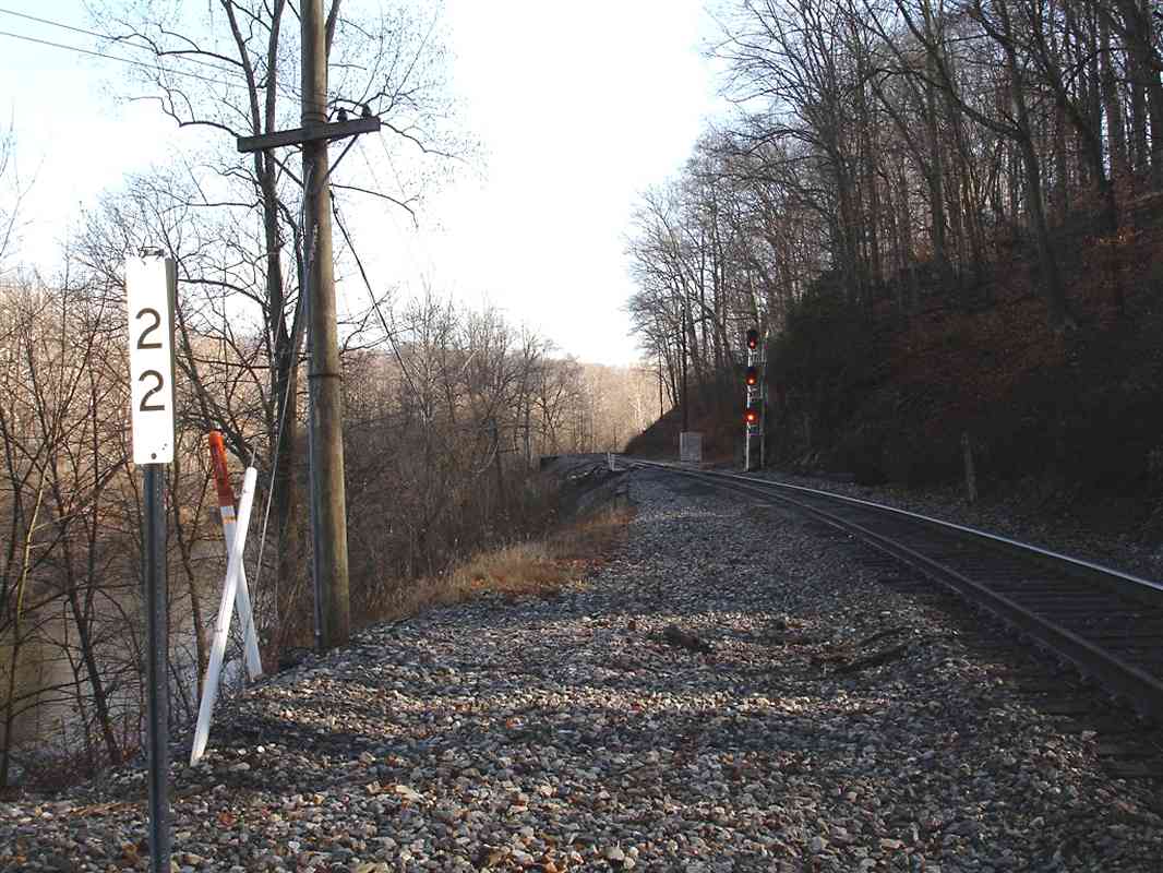
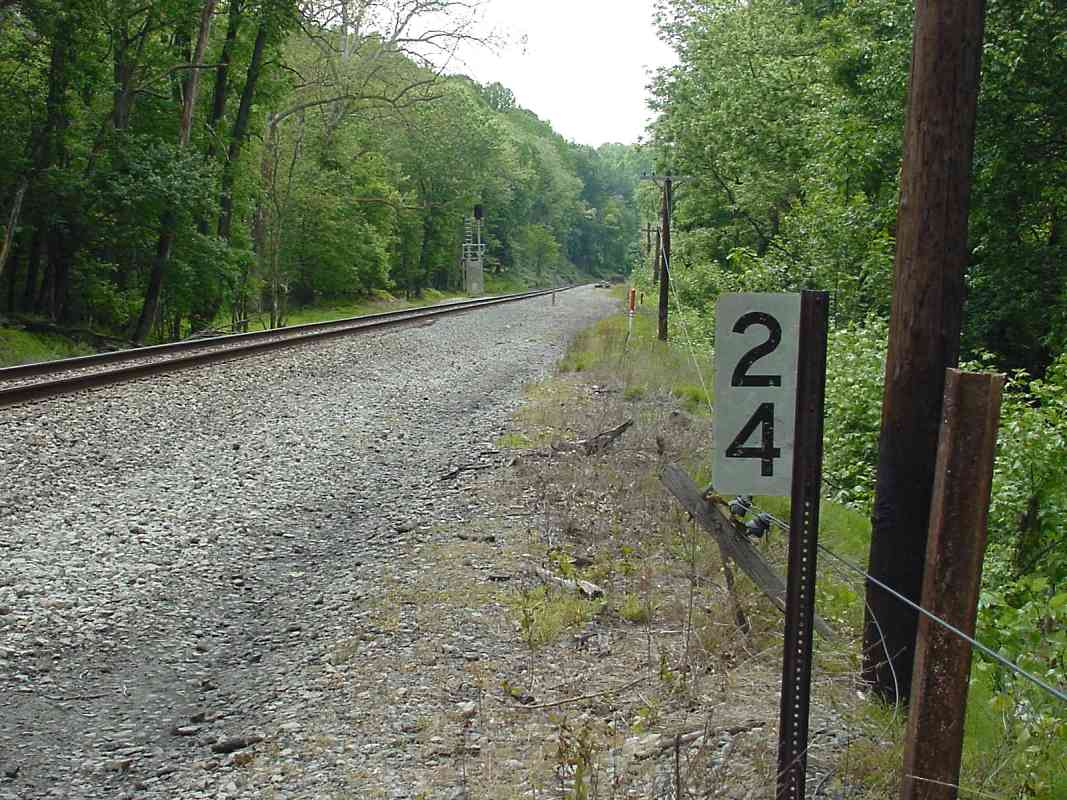
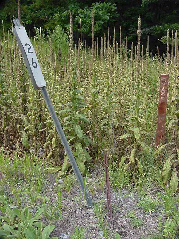
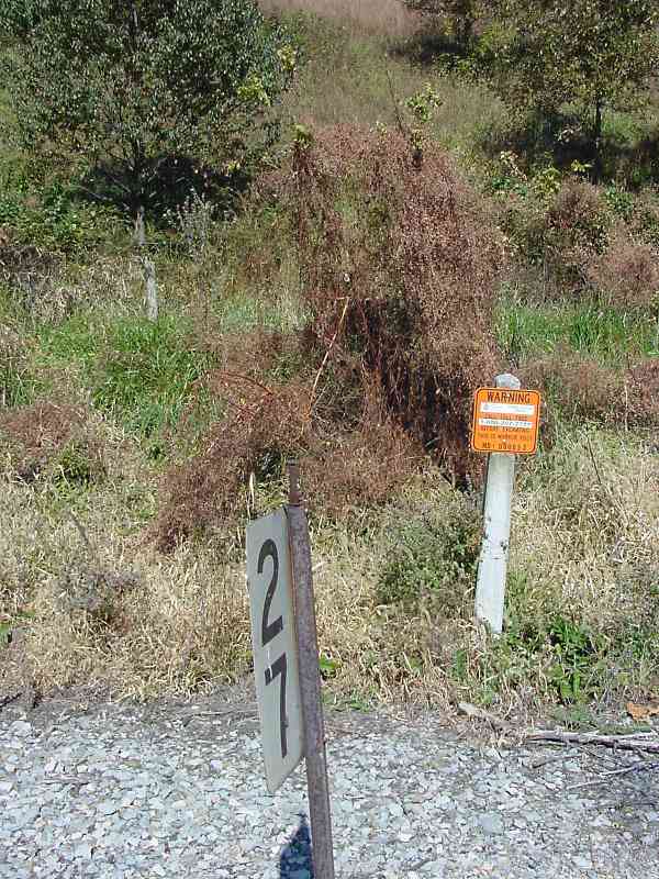
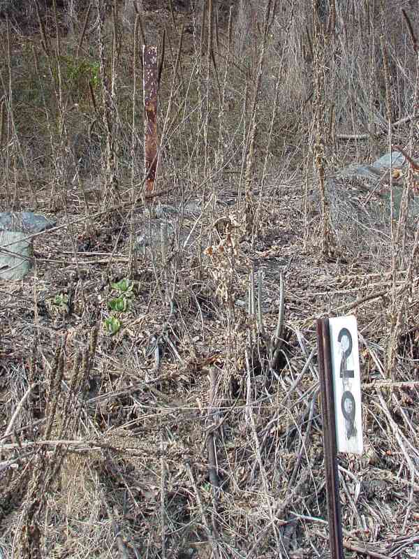
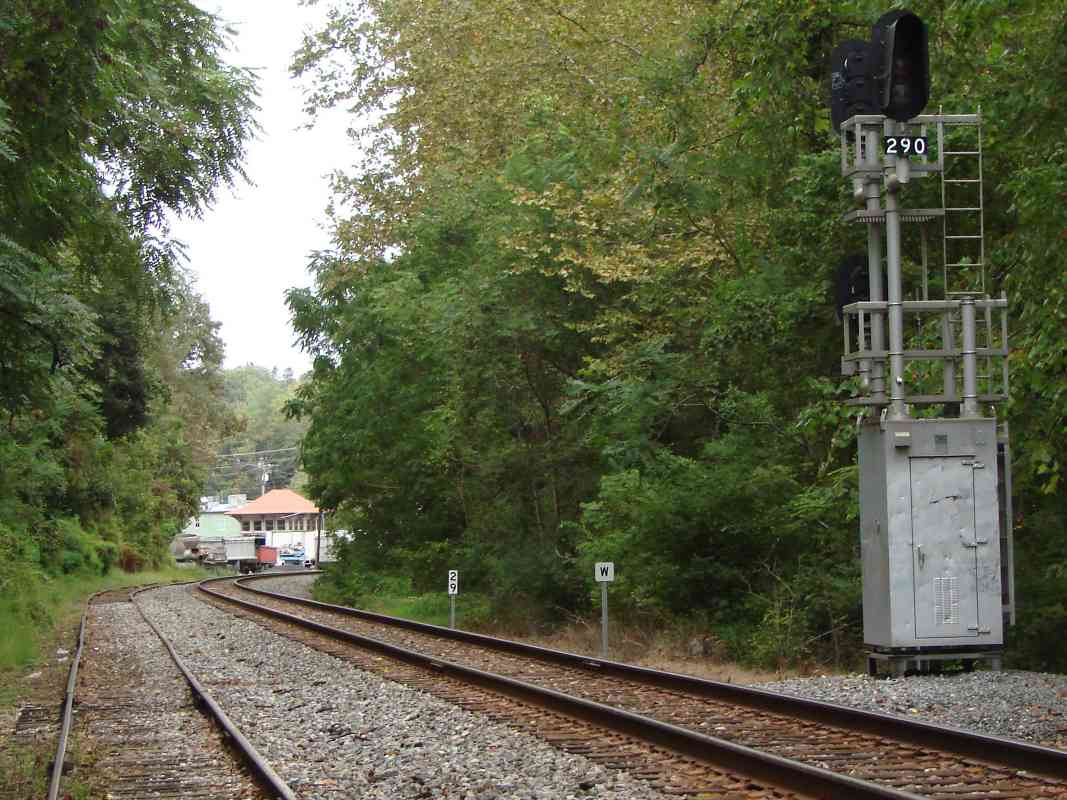
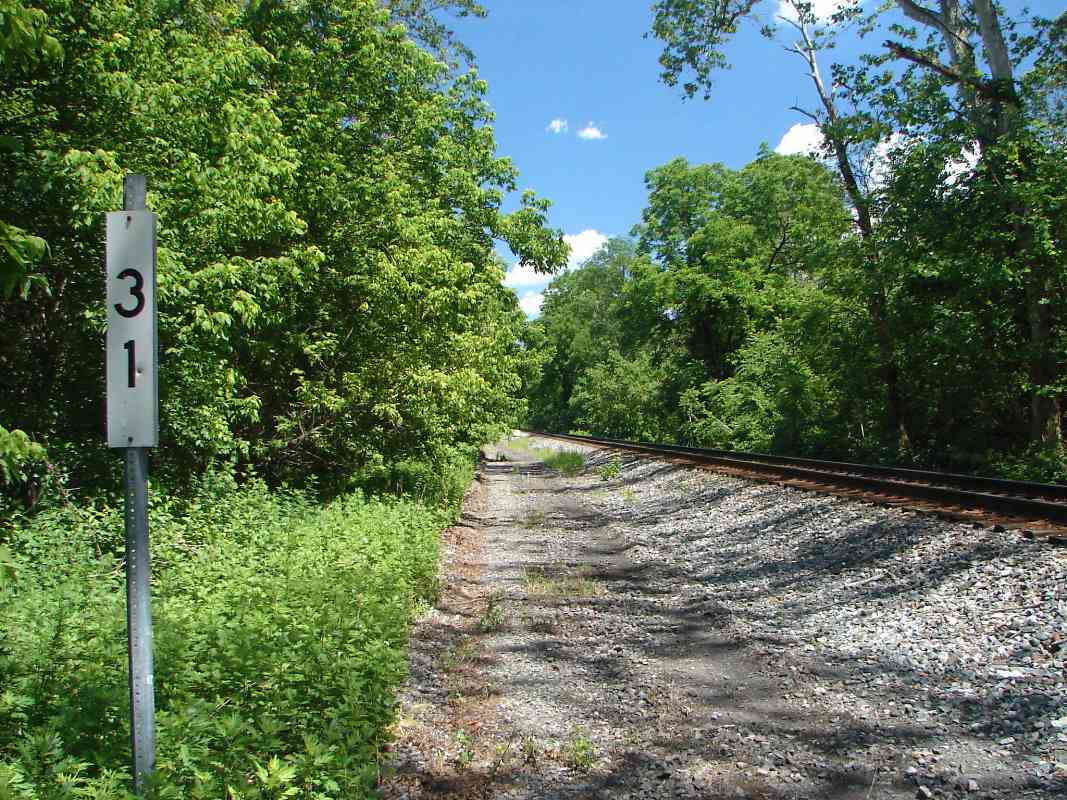
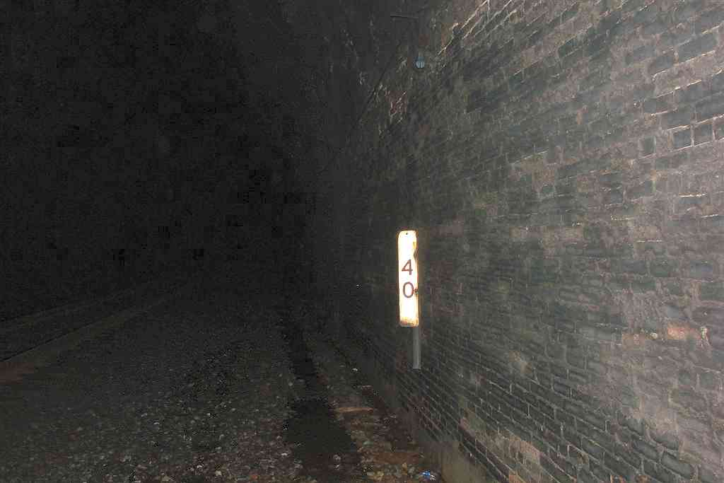
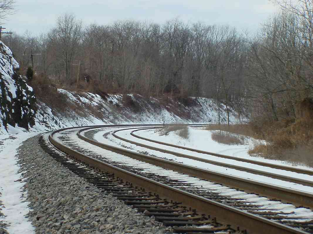
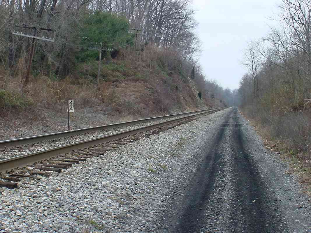
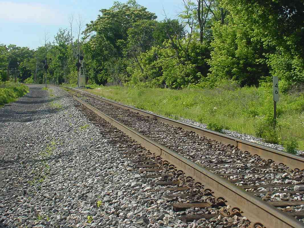
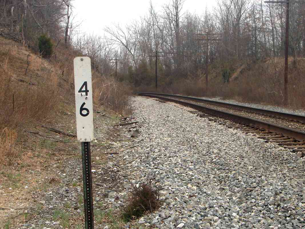
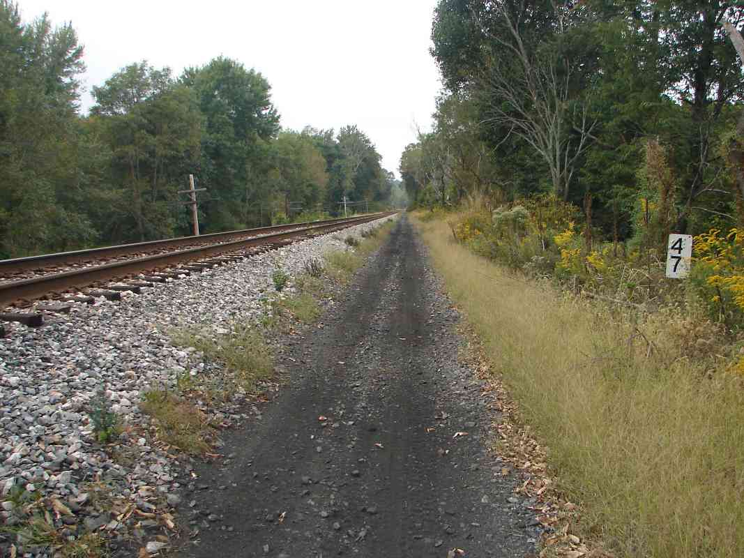
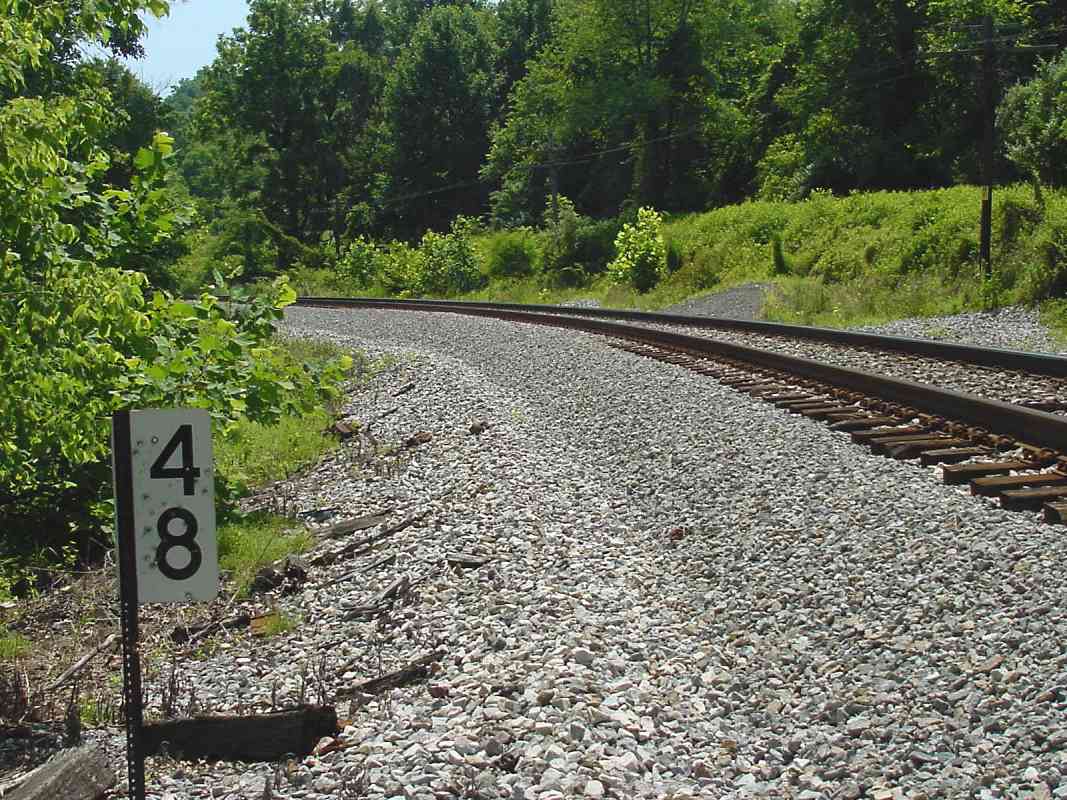
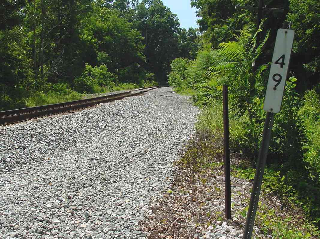
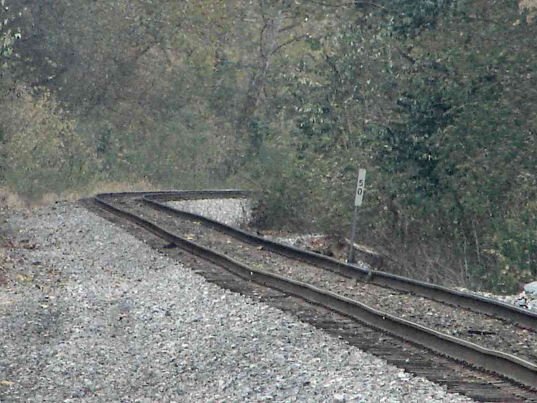
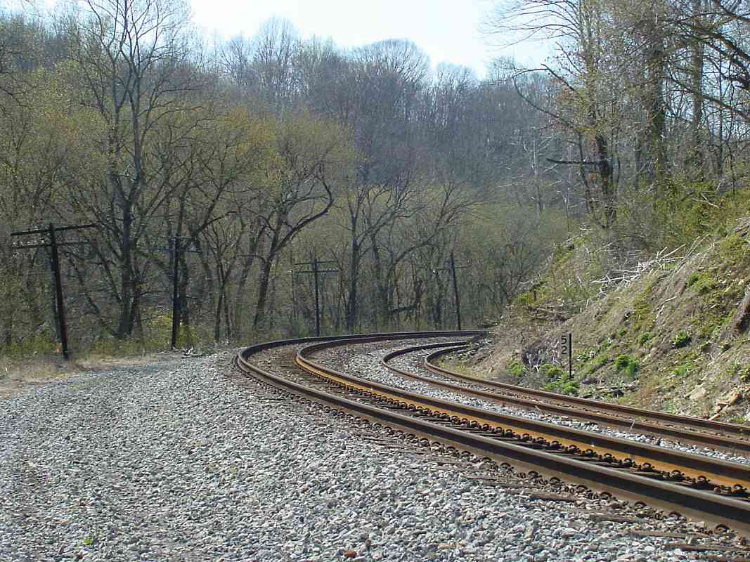
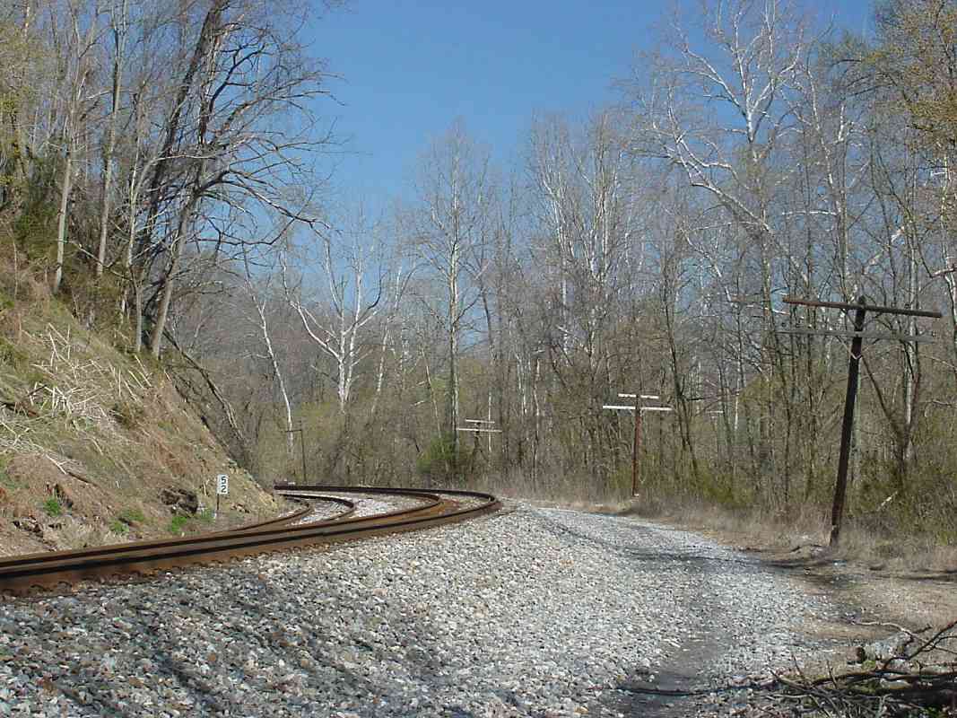
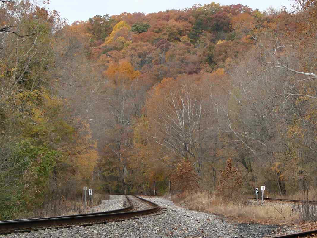
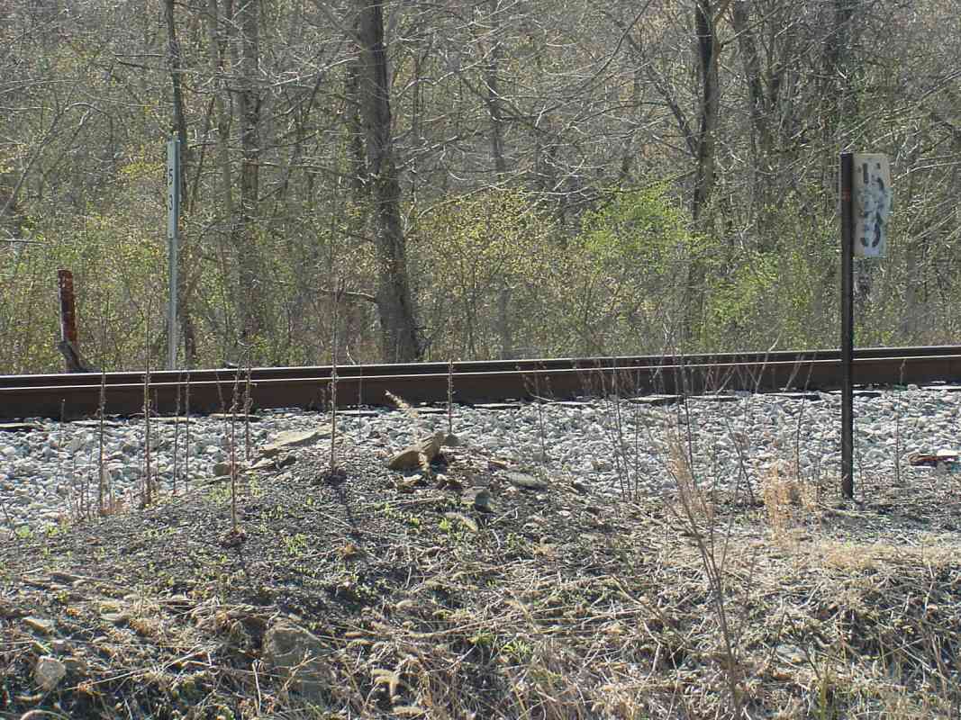
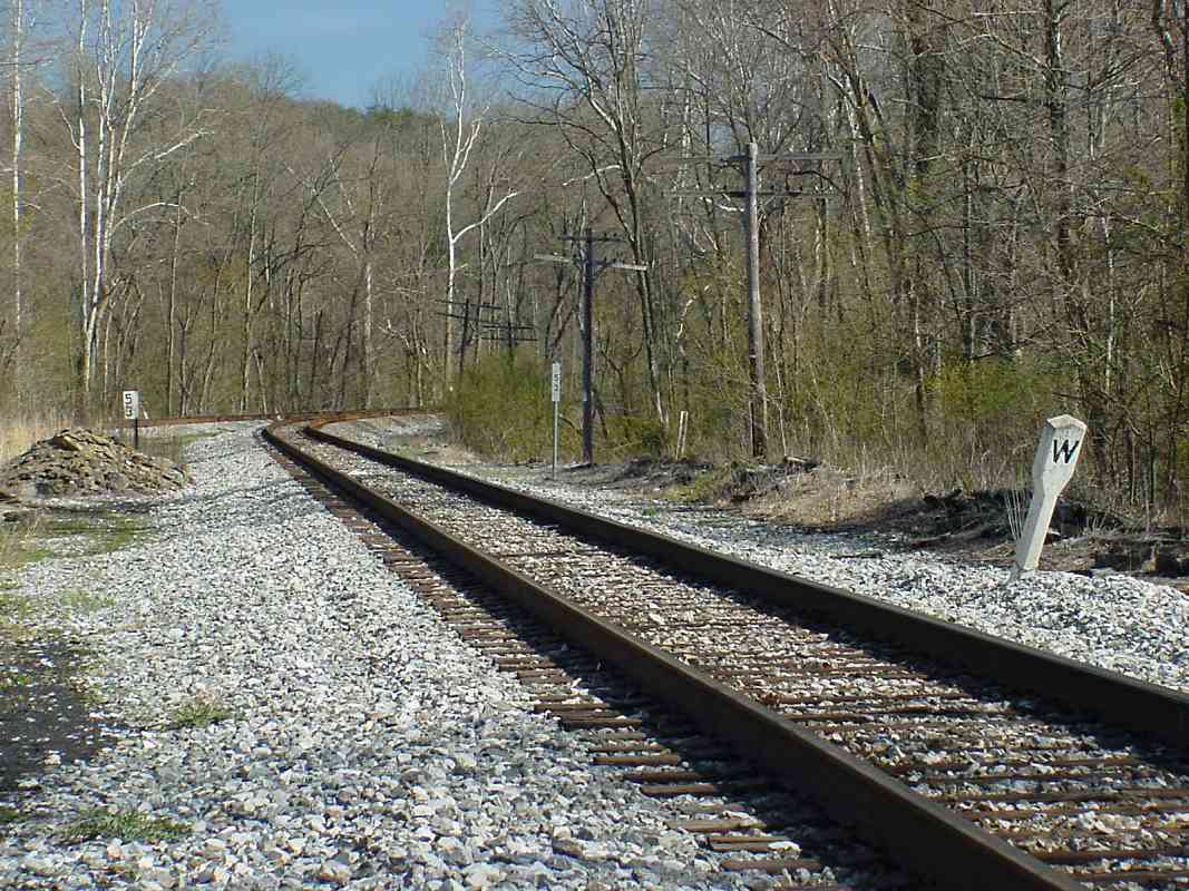
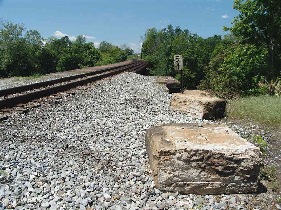
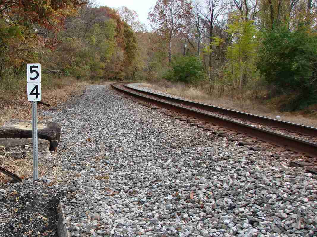
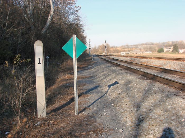
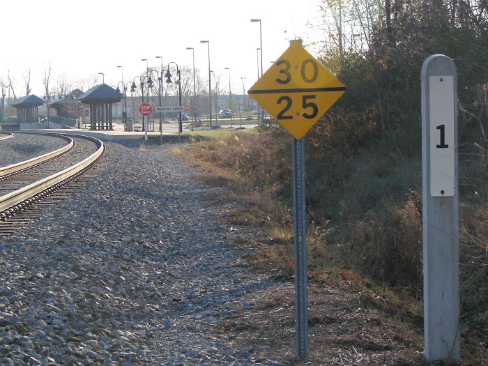
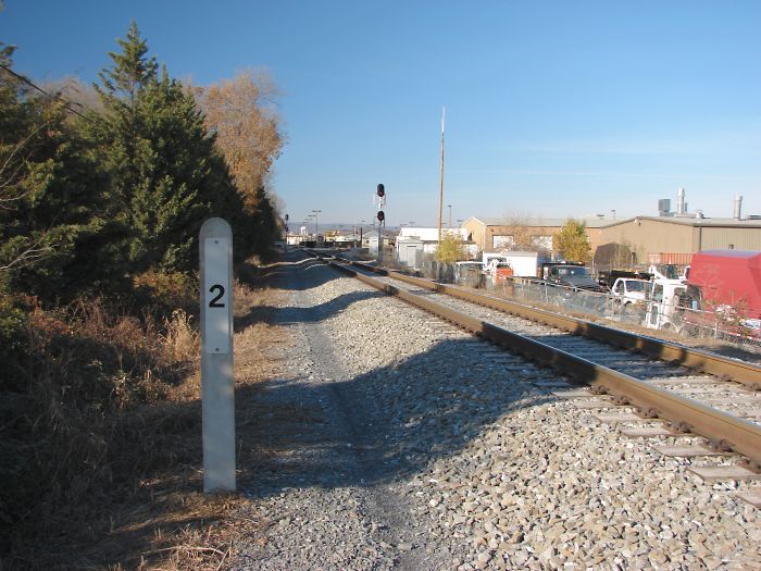
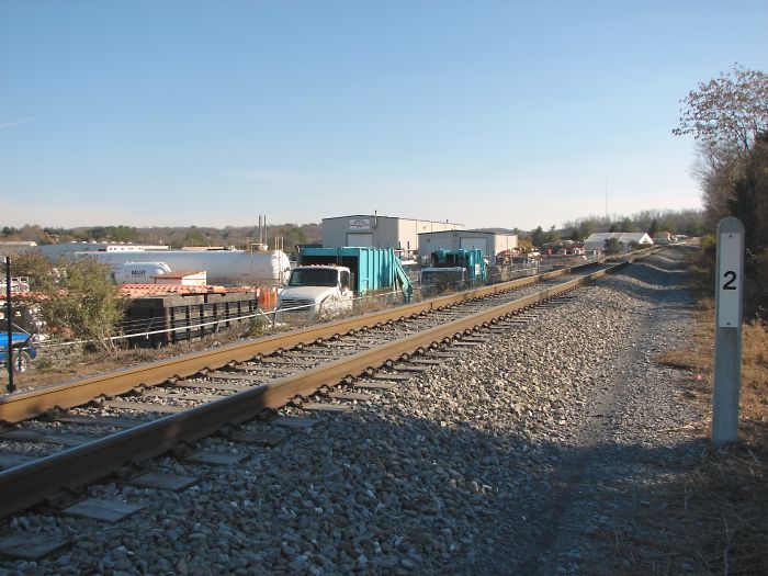
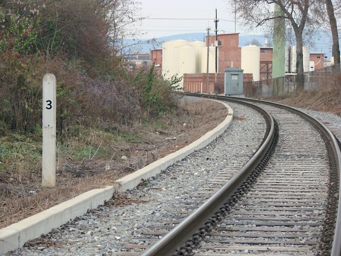
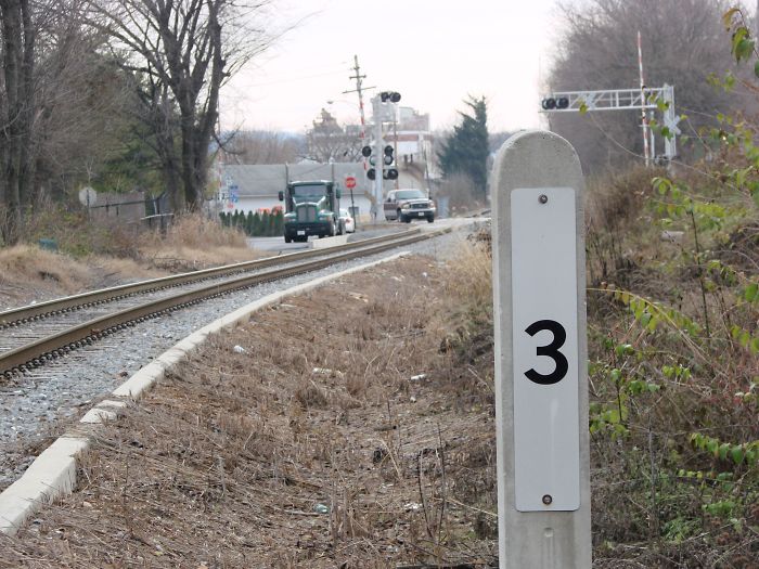
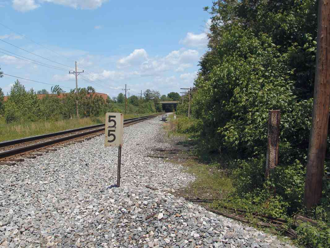
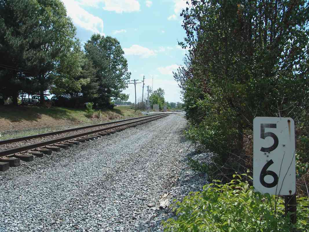
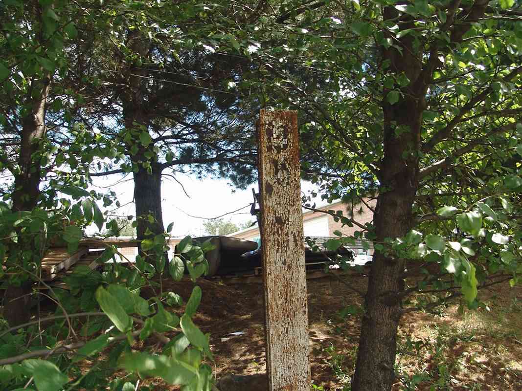
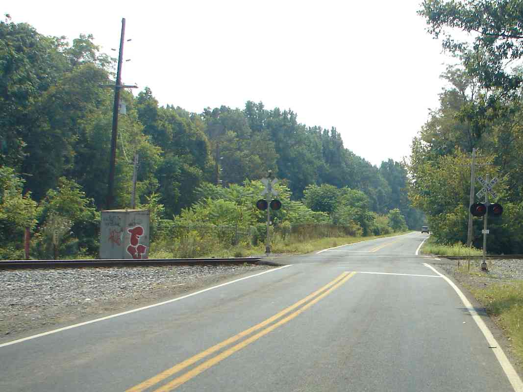
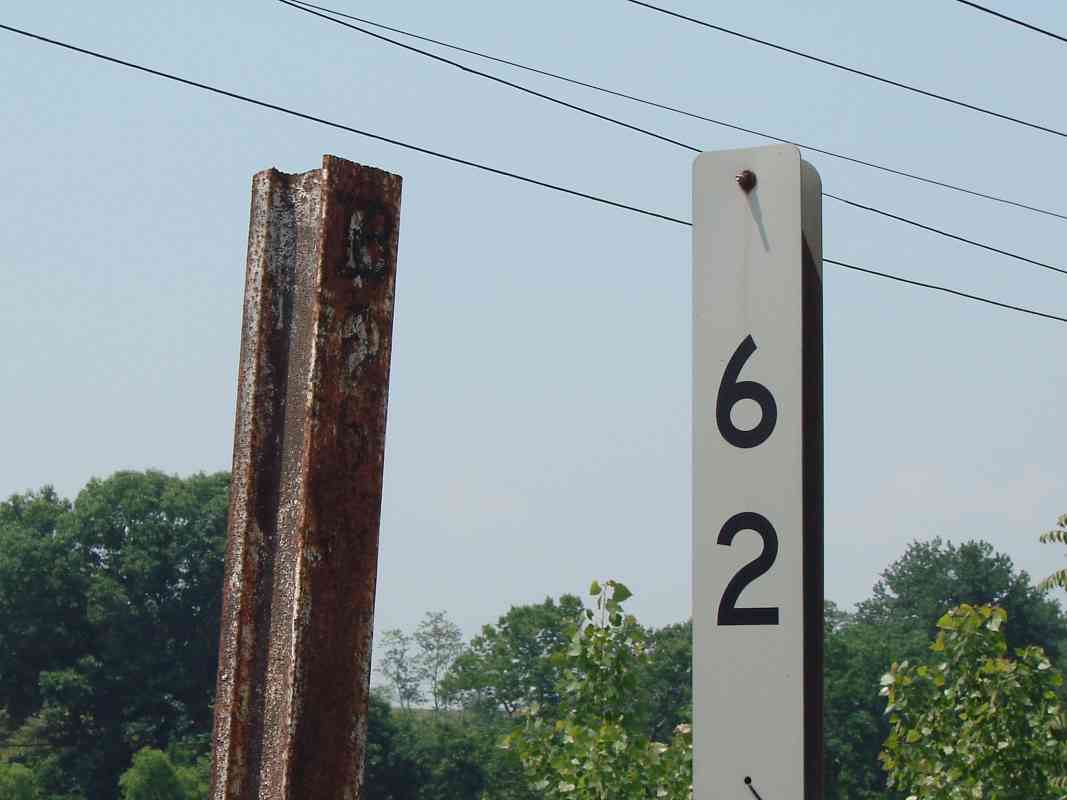
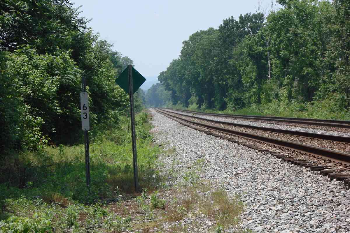
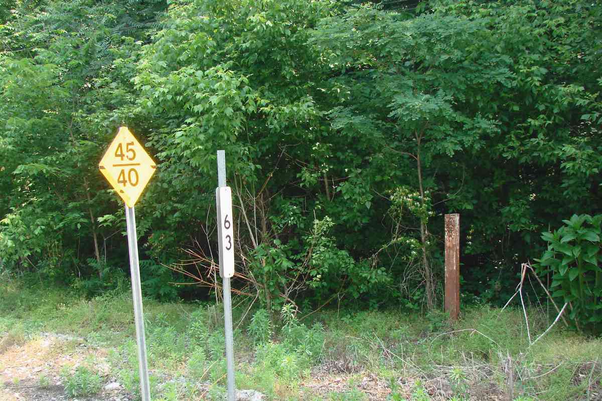
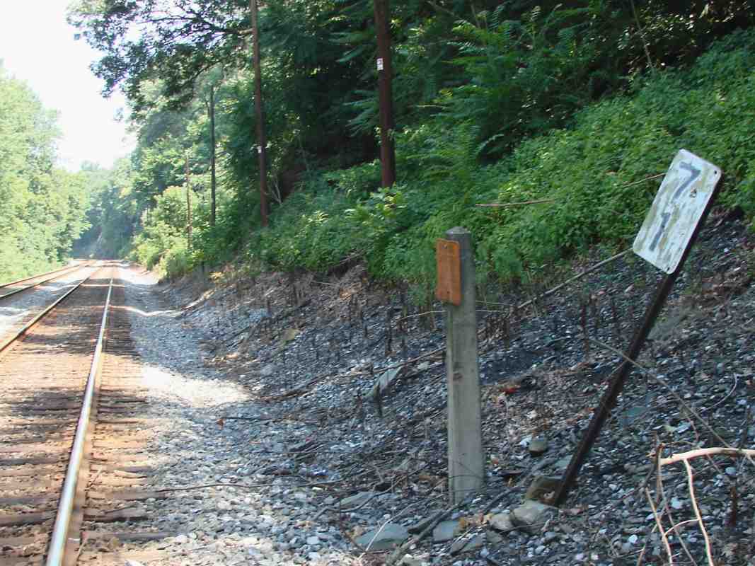
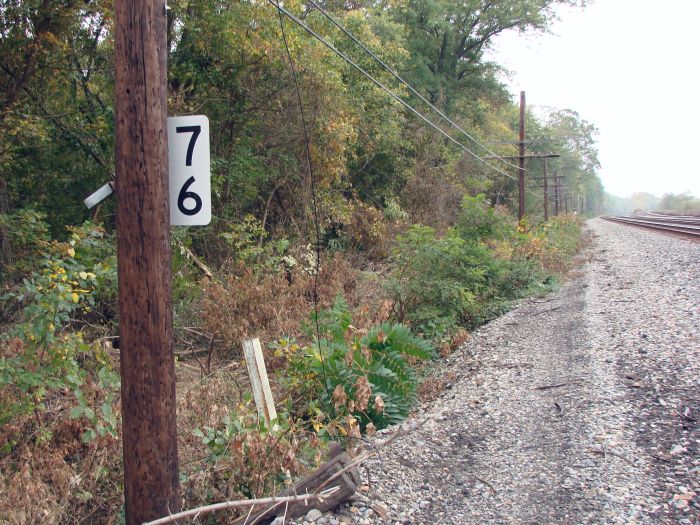
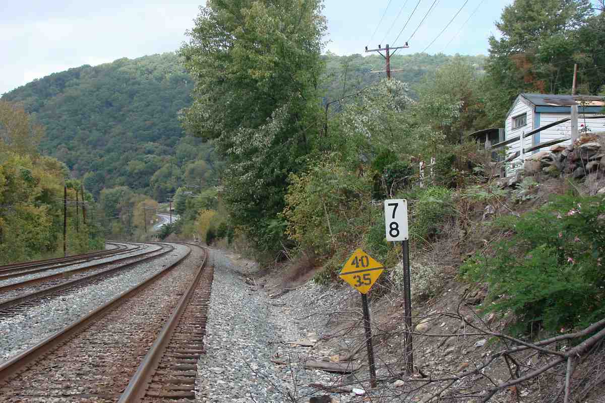
The photo links are named by approximate compass direction of their view. Unless otherwise noted, the trackside mile marker sign or post can be seen within the photo. The signs come in various shapes and sizes, but are typically black digits on a white reflective background, as in the picture at left. The RM column indicates a location with an old-style "rail milepost", believed to date to around 1910.
Over time I hope to fill data missing from the table. Any comments? EMail me.
| MILE | PHOTO(S) | RM? | ADC MAP | COMMENTS |
|---|---|---|---|---|
| 0 | west, east | Ba 42 J 1 | mile 0 (unmarked) was 0.1 miles behind (west) of B&O Museum | |
| 1 |
OML north (DD); OML east (DH); Cutoff west, south |
n |
Ba 42 G 2 Ba 42 F 3 Ba 42 K 2 |
first B&O mile marker, 1 mile from back of museum; modern CSX marker 1 is measured from unknown spot; along Camden Cutoff, measured from Camden Station |
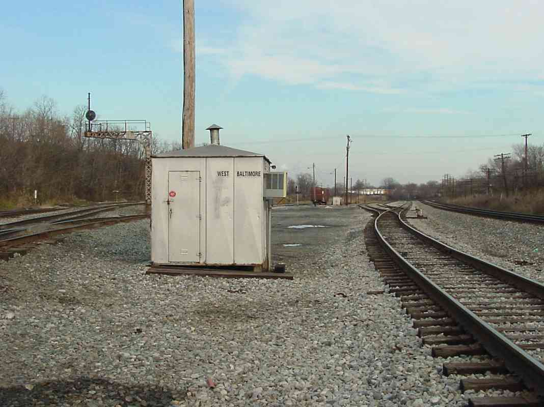
| 2 |
OML north; Cutoff north |
n |
Ba 42 F 4 Ba 42 H 4 |
unmarked within Claremont Yard; at left, along Camden Cutoff, measured from Camden Station |
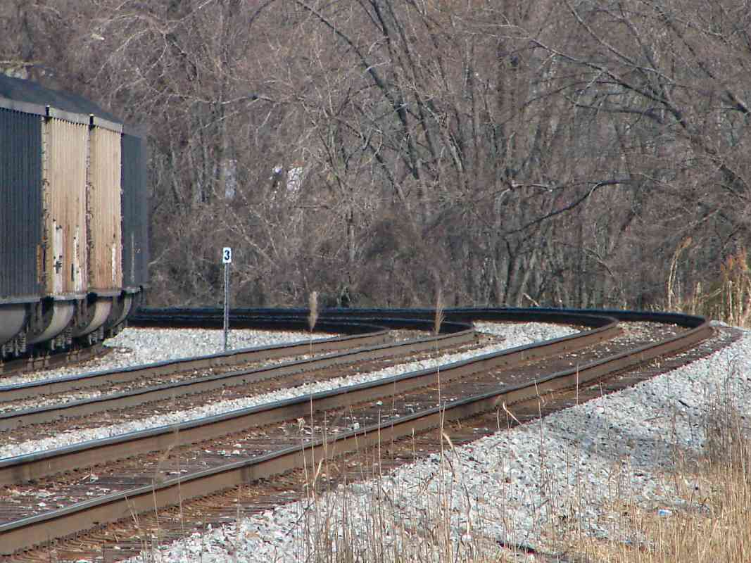
| 3 |
OML west, east Cutoff east | Ba 42 F 6 | near Gable Ave grade crossing | |
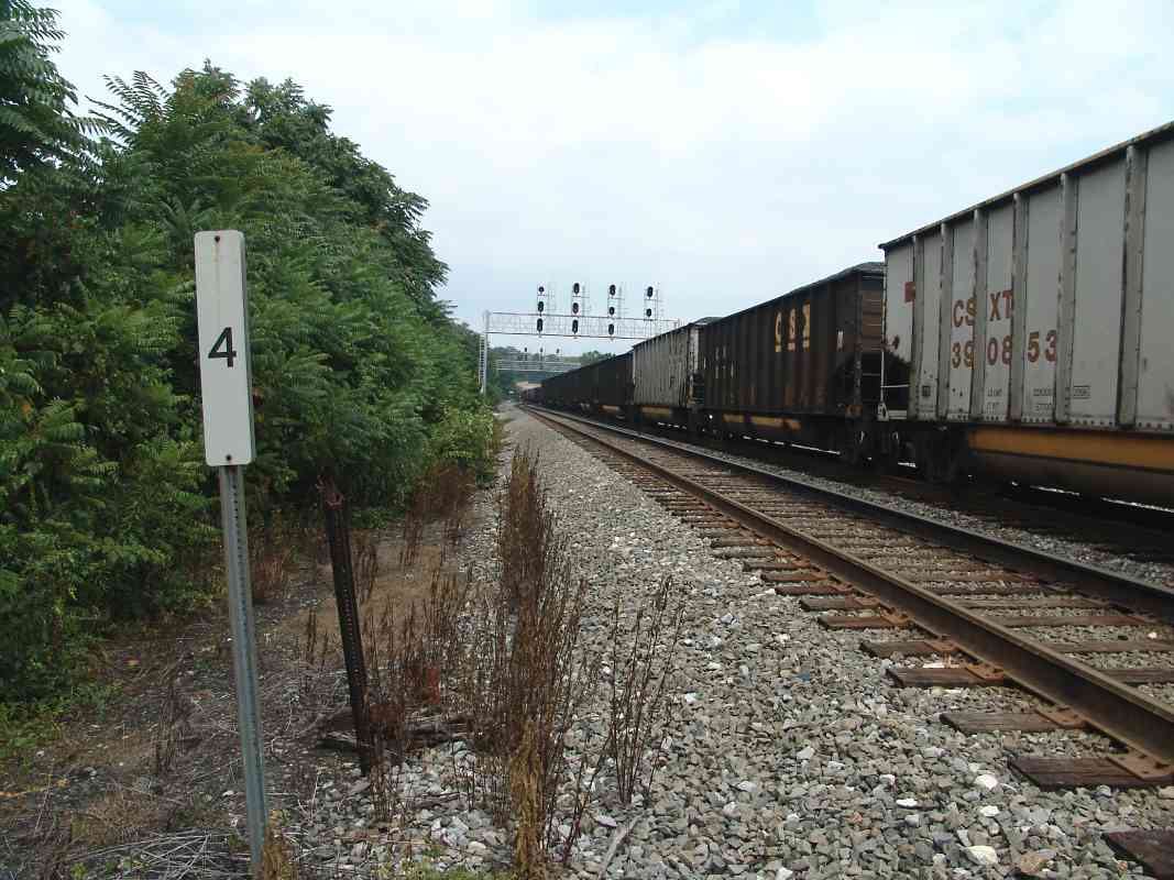
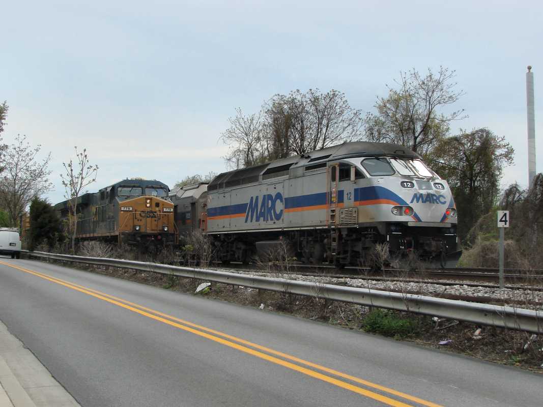
| 4 |
OML: east (DH) Cutoff: + west | Y | Ba 42 E 8 | CSX 779, MARC 12 |
| 5 | north (DH), west (DH) | Y | Ba 42 C 10 | CSX 7623 |
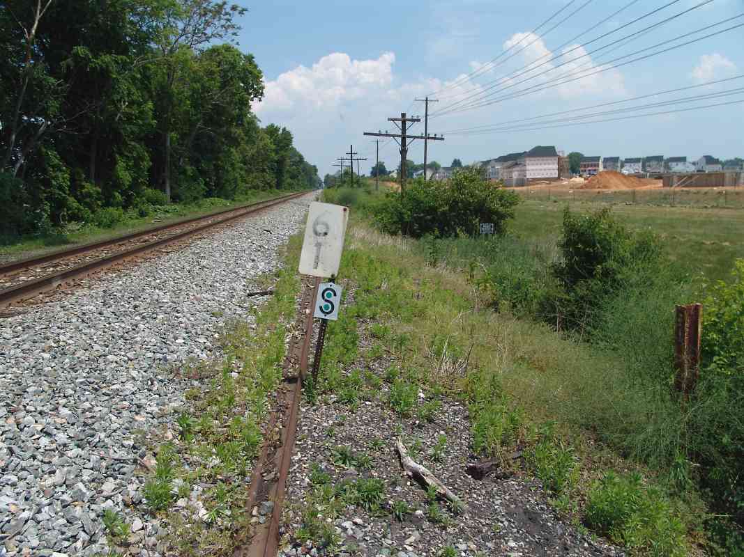
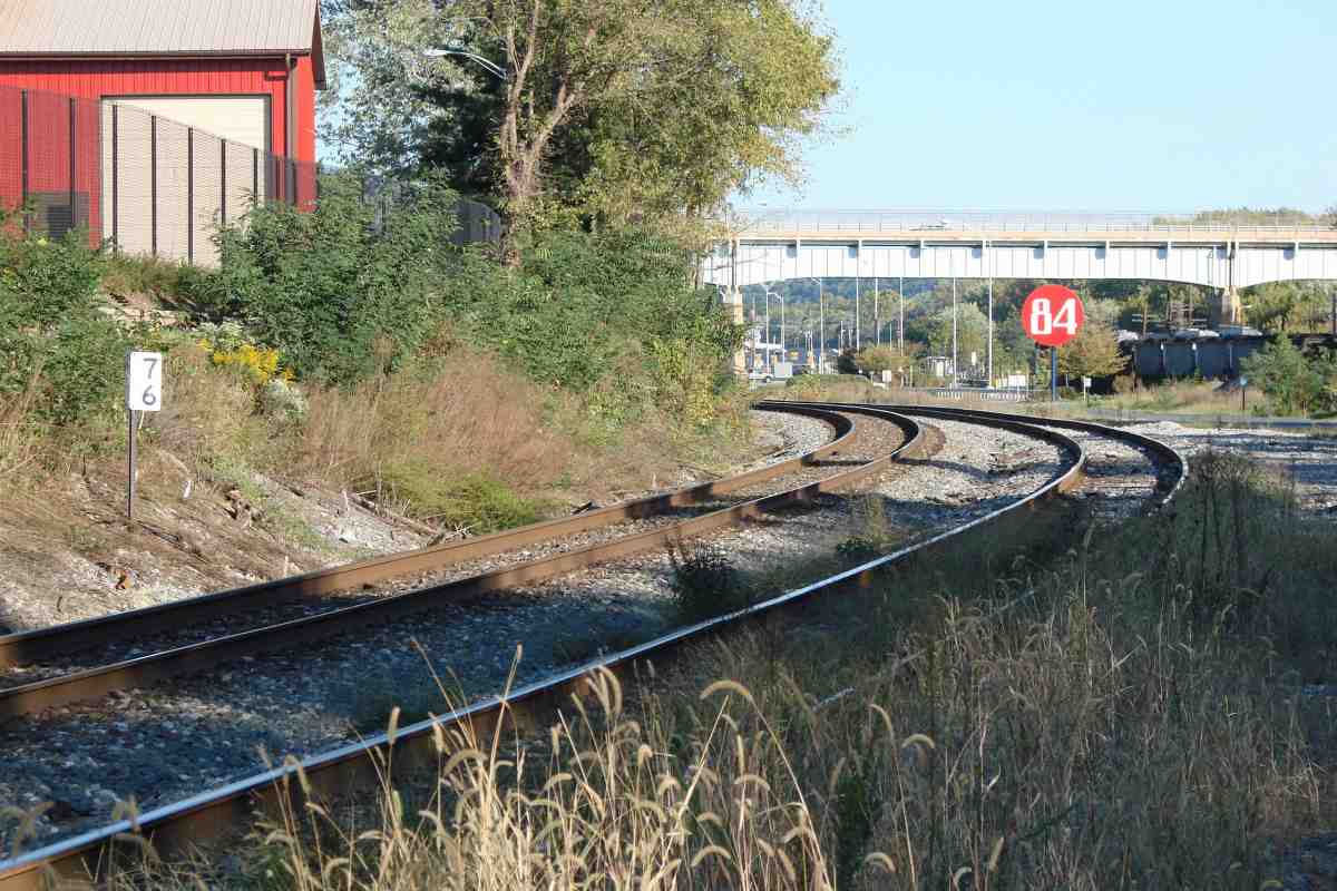
| 6 | west, east | Ba 42 A 11 |
CSX 7296 actual distance from post 6 to post 7 is 1.32 miles this discrepancy began in 1860s due to opening of Camden Cutoff | |
| 7 | west, north | n | Ba 41 H 12 |
OML mile 7 = Capital Subdivision mile 9 OML marker 7 was not present at time of west view photo |
| 8 | west, east (DH) | Y | Ba 41 E 11 | S sign indicates "measured mile" |
| 9 | west (DH), east | Y | Ba 41 C 10 | |
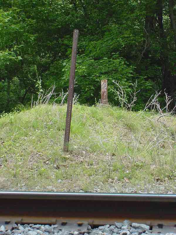
| 10 | west (DH), south | Y | Ba 41 B 8 | the old style "mile marker on a rail" likely dates to around 1910 |
| 11 | west (DH), + north | Y | Ho 13 A 12 | |
| 12 | south, west (DH) | Ho 12 H 11 | marker at left of CPL signals in south photo from 2000 | |
| 13 | north (DH) | Y | Ho 12 G 9 | north (west) of Ellicott City |
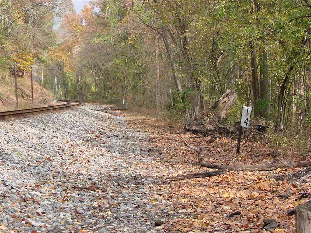
| 14 | north (DH) | n | Ho 12 H 7 | width is from past double track, and now sewer line |
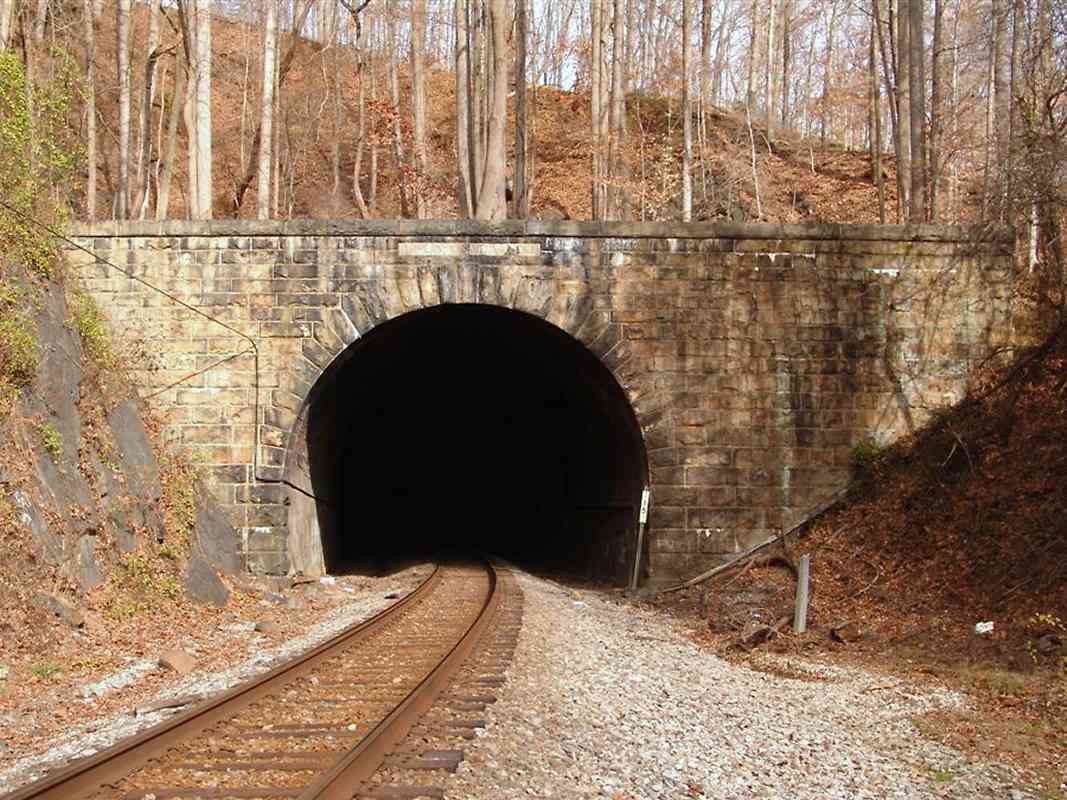
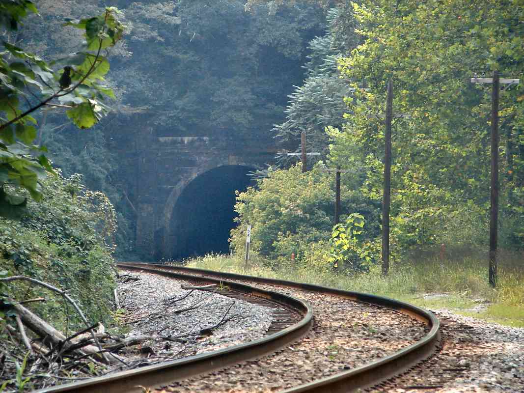
| 15 | north (DH) | Ho 12 J 4 | Union Dam Tunnel | |
| 16 | north (DH) | Y | Ho 12 G 3 | |
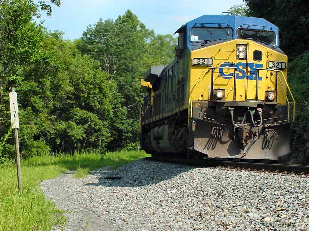
| 17 | west, east | Ho 12 F 1 | CSX 321 | |
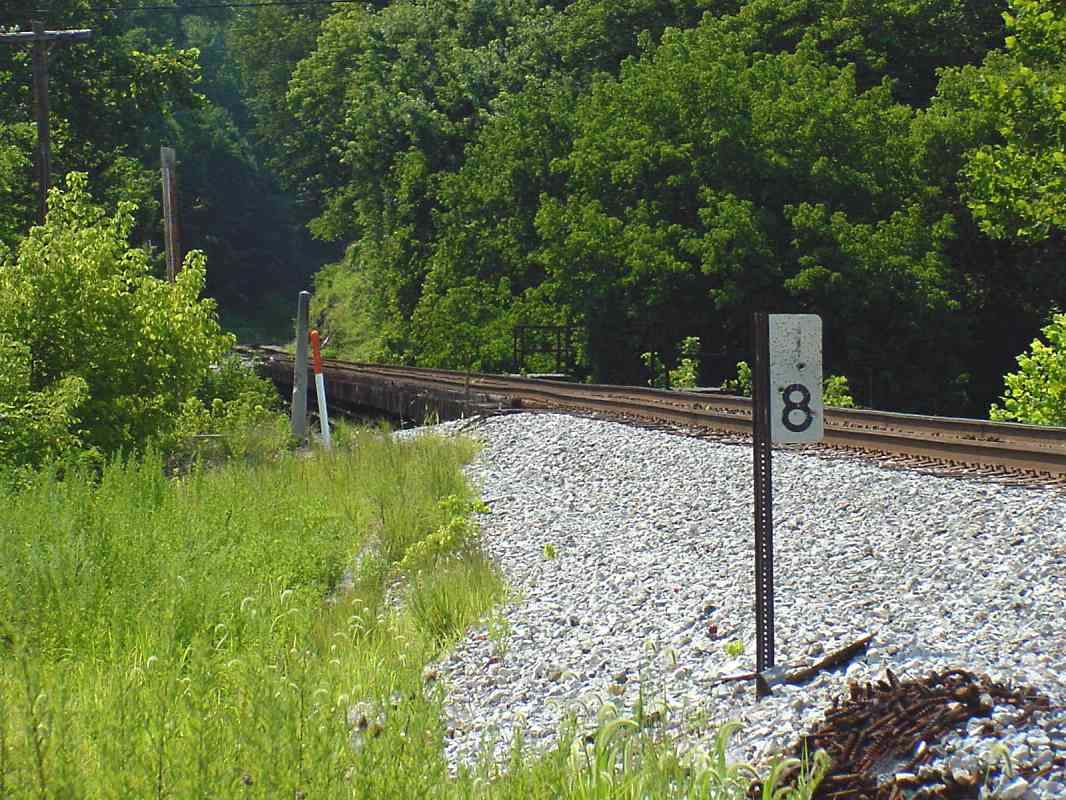
| 18 | west, east (DH) | Ho 12 D 0 | the bridge across the Patapsco River at Daniels lies just west | |
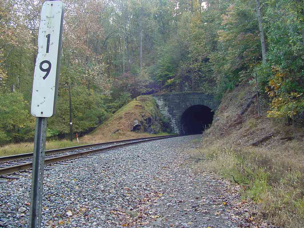
| 19 | west, east | Y | Ba 31 K 8 | CSX 7559 about to enter Dorsey Tunnel |
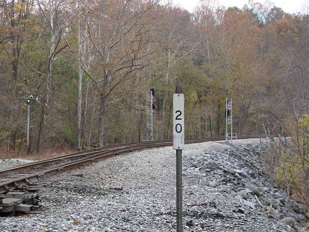
| 20 | west (DH), east | Ho 6 J 13 | Davis Tunnel | |
| 21 | north (DH), south (DH) | Ho 6 H 12 | a scenic spot | |
| 22 | west, east (DH) | Y | Ho 6 E 11 | east view has signal in distance |
| 23 | north, east | Y | Ho 6 D 9 | surviving "mile markers on a rail" become more common further west |
| 24 | west, east | Y | Ho 6 C 7 | east of Marriottsville |
| 25 | west, east | Ho 5 K 7 | Henryton Tunnel; Patapsco River bridge in east view's foreground | |
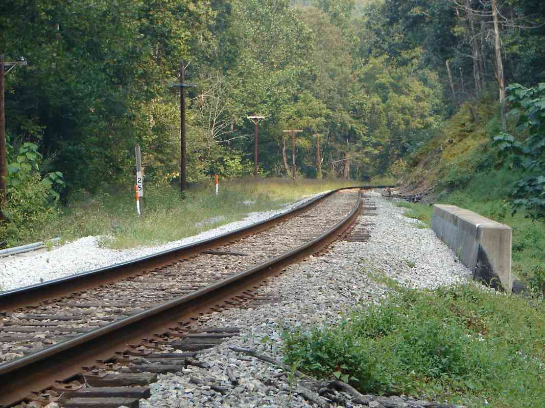
| 26 | north | Y | Ca 35 G 6 | west of Henryton |
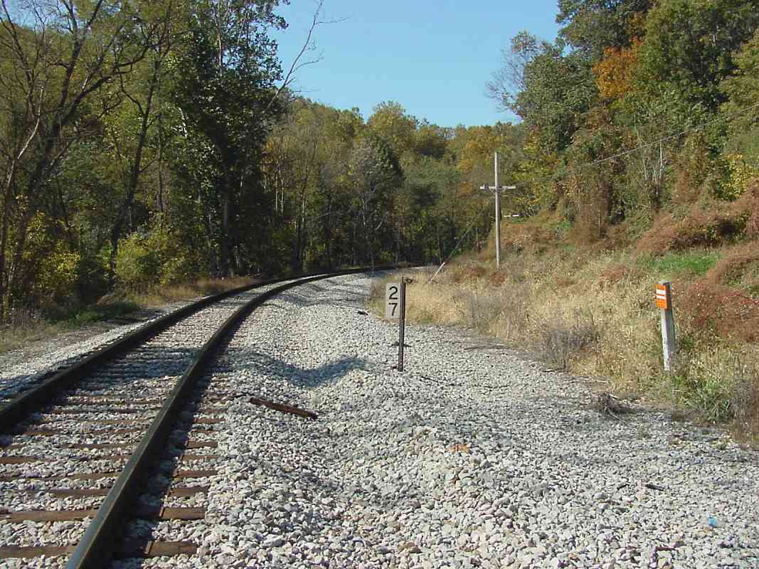
| 27 | west, north | Y | Ca 35 E 5 | Gorsuch Switch (a mine siding) had been located here |
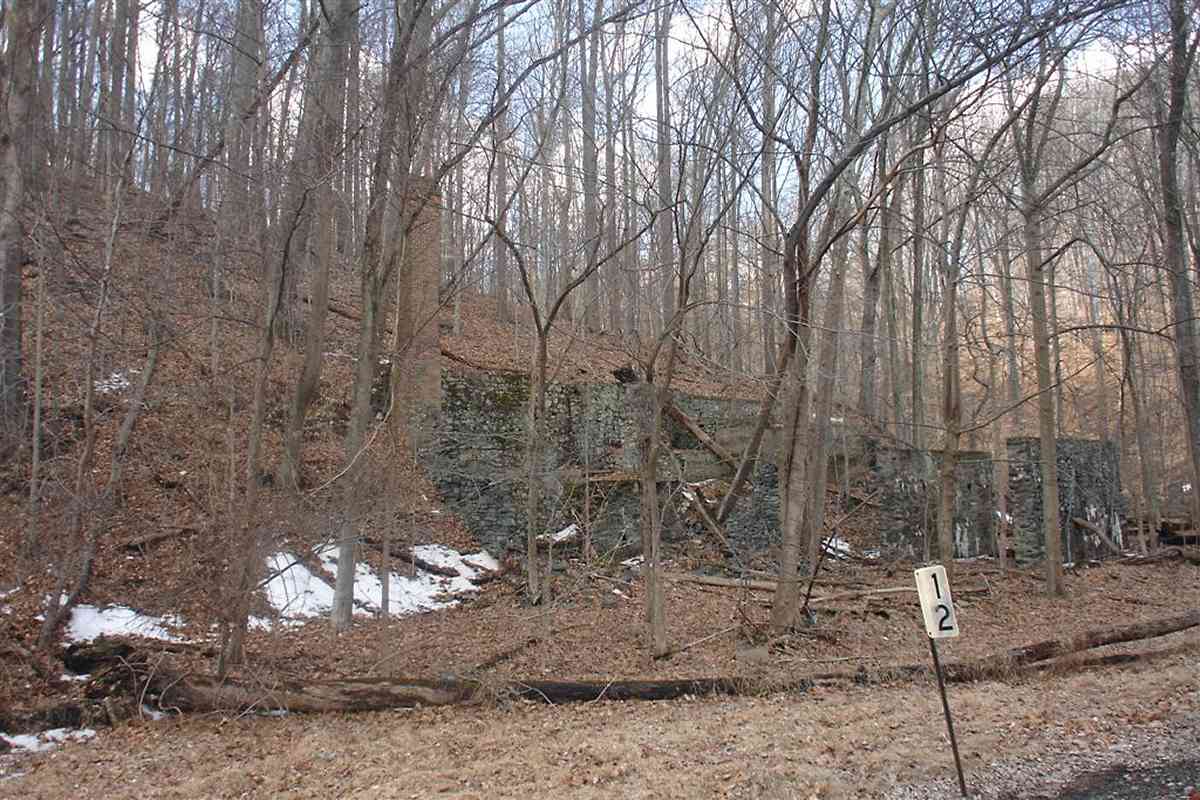
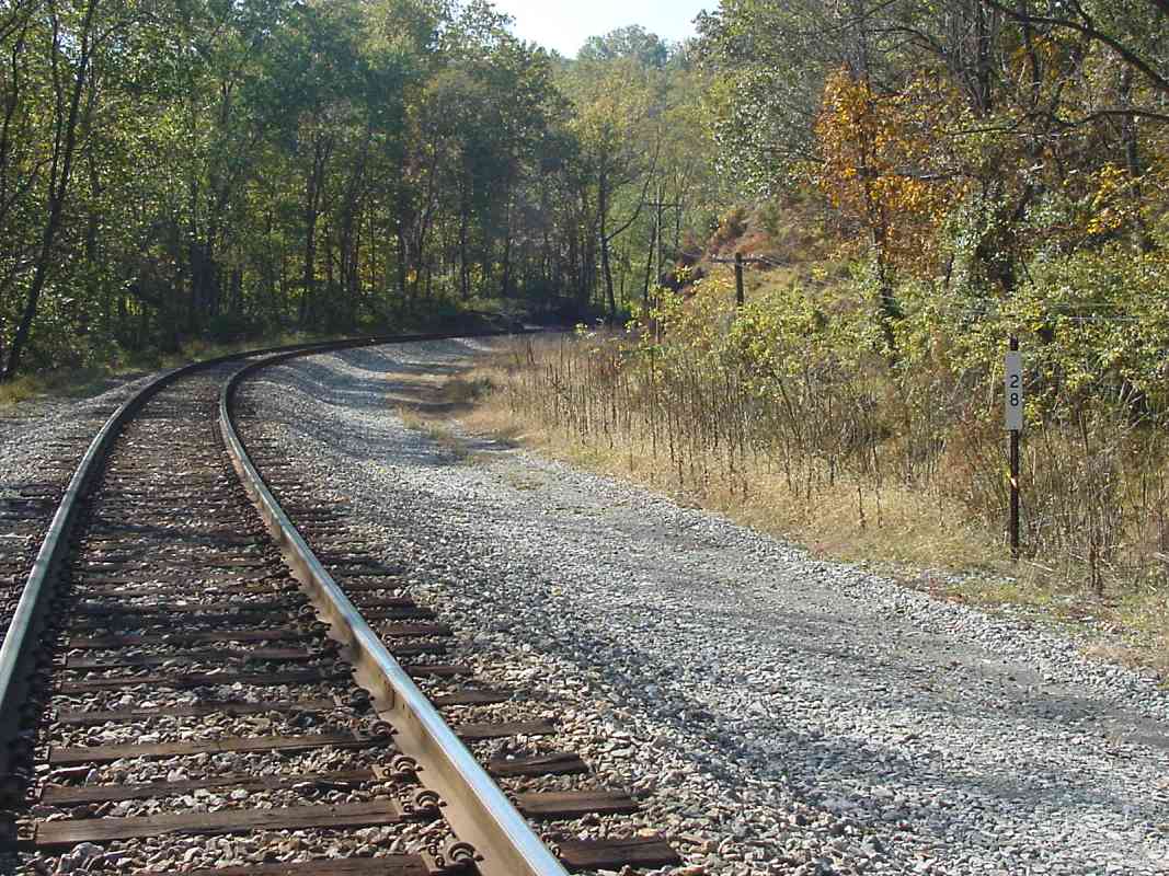
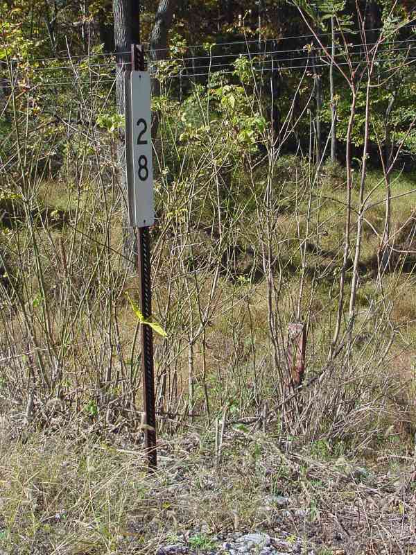
| 28 | west, north | Y | Ca 35 B 5 | |
| 29 | north, + east | Y | Ca 34 K 4 | west of Sykesville |
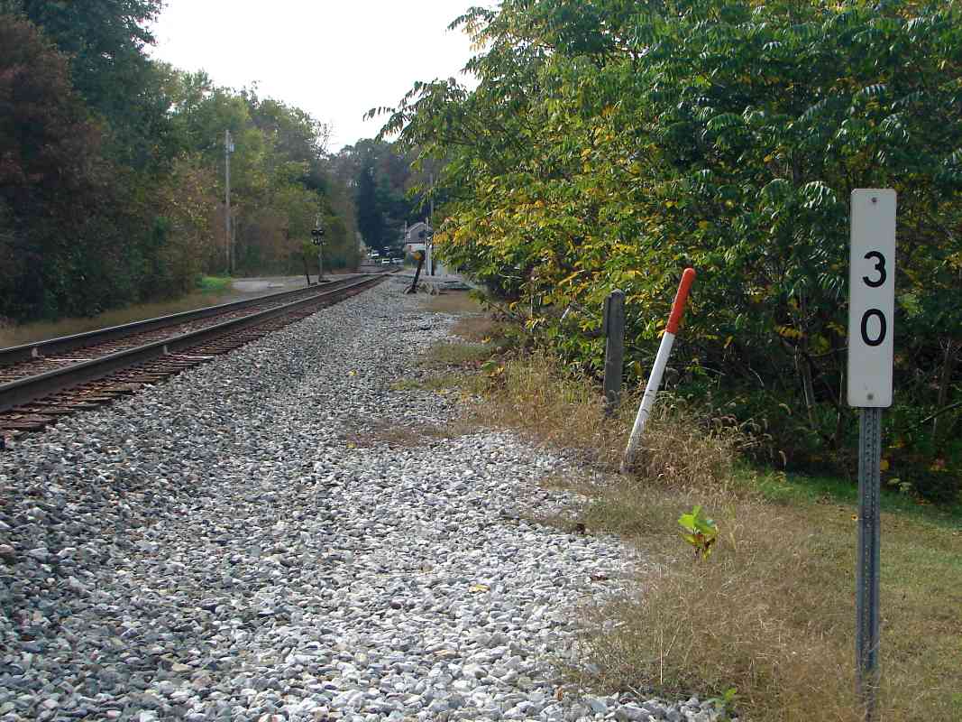
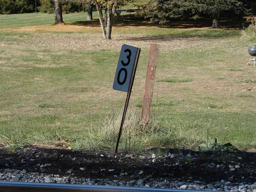
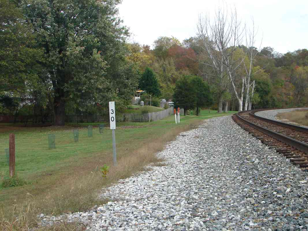
| 30 | west, north (DH), east | Y | Ca 34 G 4 | near Gaither |
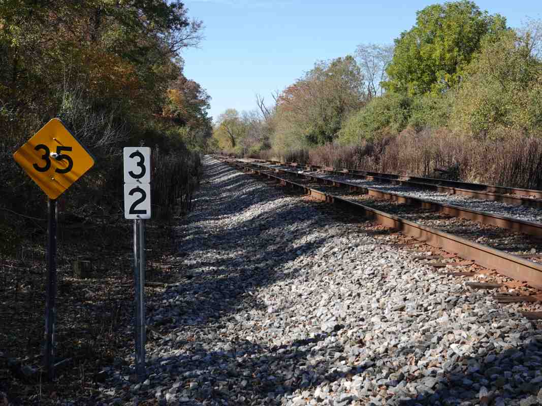
| 31 | west, east | Y | Ca 34 E 5 | some old rail markers are whitewashed, unknown why |
| 32 | + west, east (DH) | Y | Ca 34 C 6 | speed 30 mph east, 35 west |
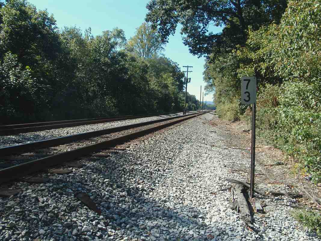
| 33 | west, east (DH) | Ca 33 K 5 | Patapsco River very close to tracks here | |
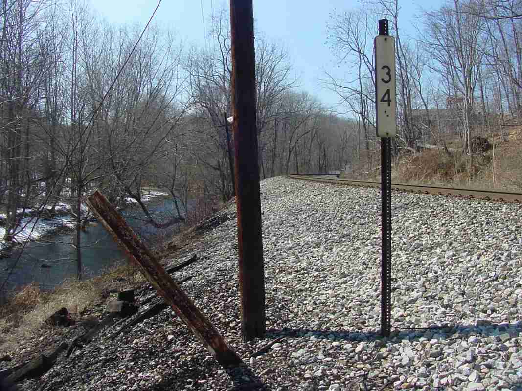
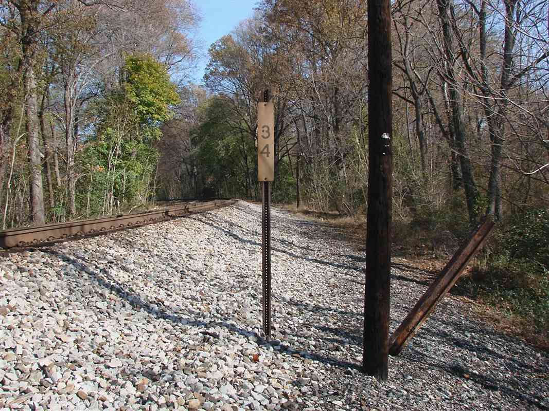
| 34 | west, east (DH) | Y | Ca 33 G 4 | east of Woodbine |
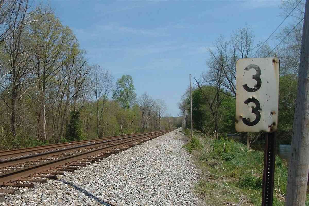
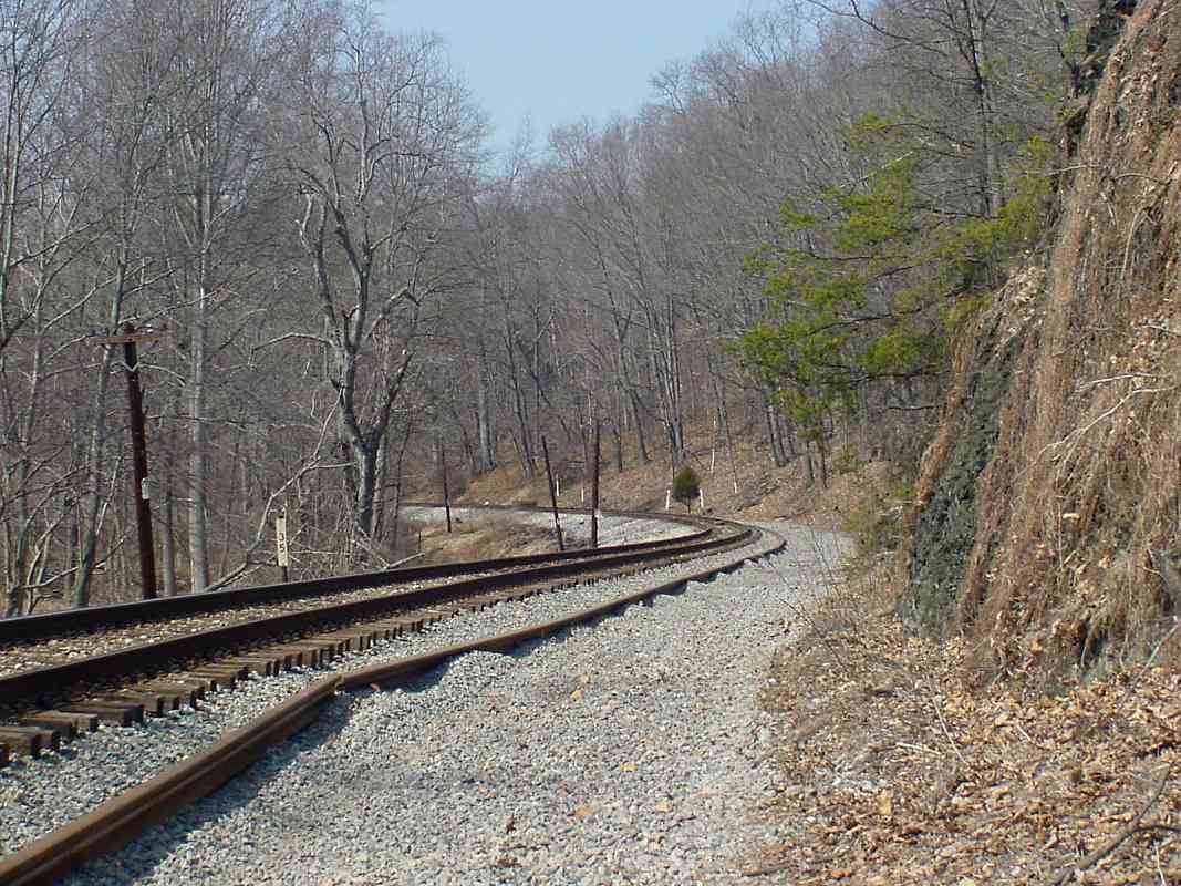
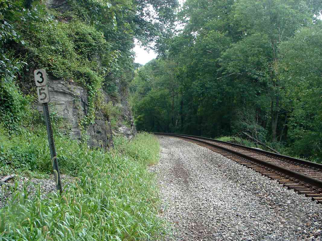
| 35 | west, east | Ca 33 E 4 | ||
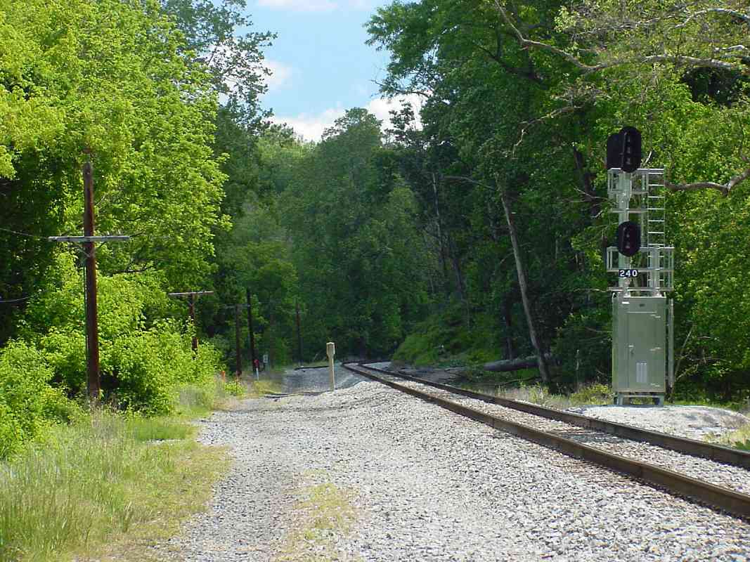
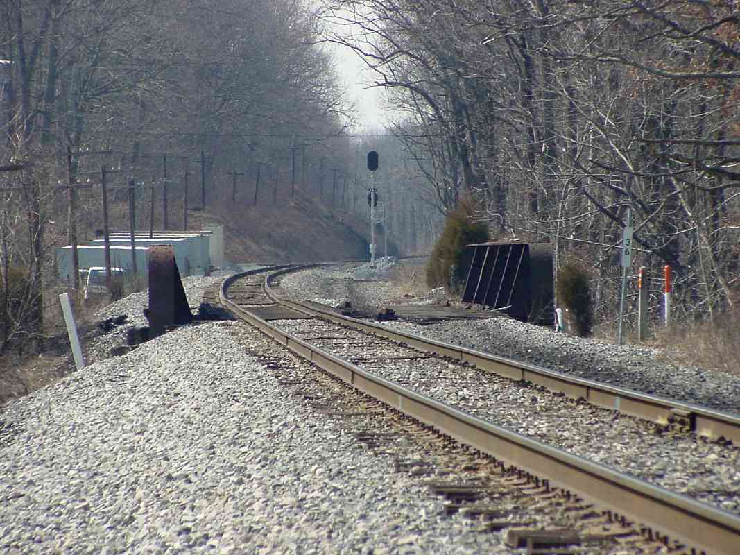
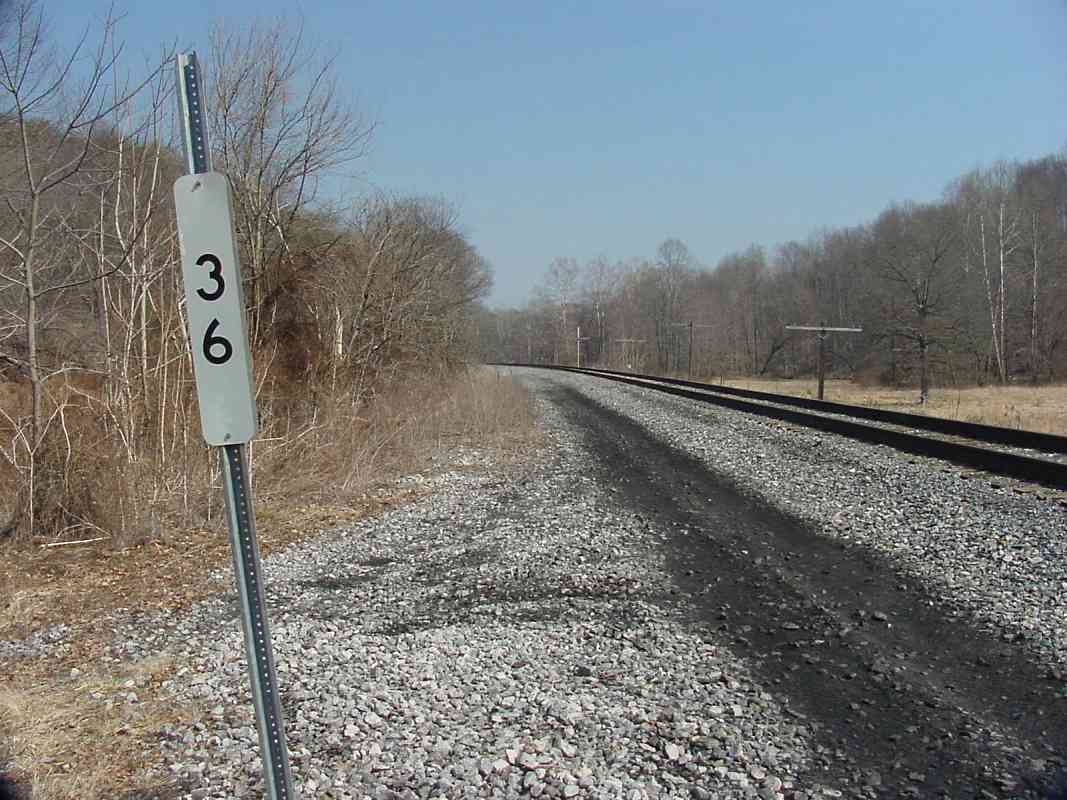
| 36 | west, east | Y | Ca 33 B 3 | east end of Mt. Airy Cutoff, 10 miles of new right of way opened 1902 |
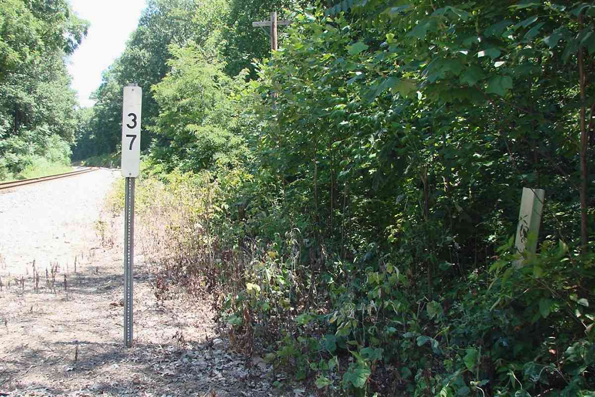
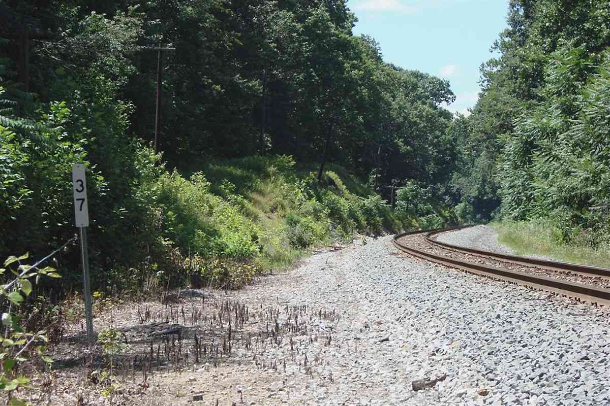
| 37 | east (DH), west (DH) | Y | Ho 2 K 4 | west of Watersville |
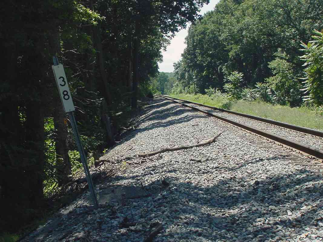
| 38 | east, west | n | Ho 2 G 5 | |
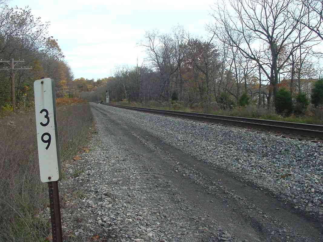
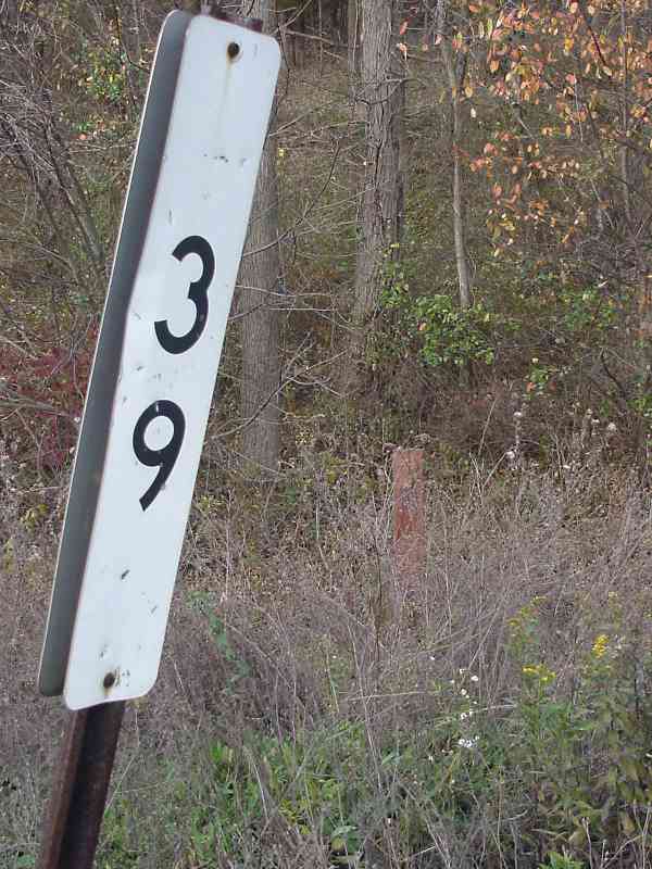
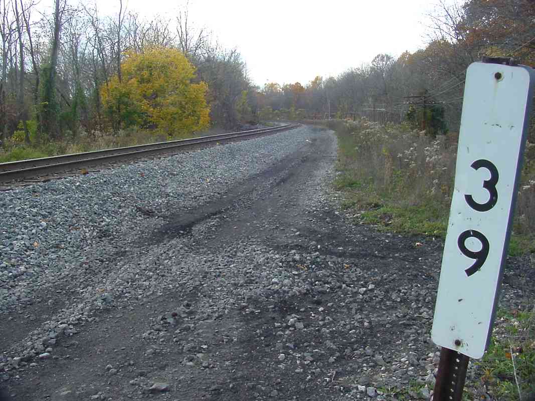
| 39 | east, north, west | Y | Ca 32 E 4 | visible from I-70 east of Mt. Airy if you know where to look |
| 40 | west (DH) | Ca 32 B 4 | Mt. Airy Tunnel | |
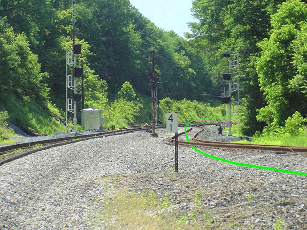
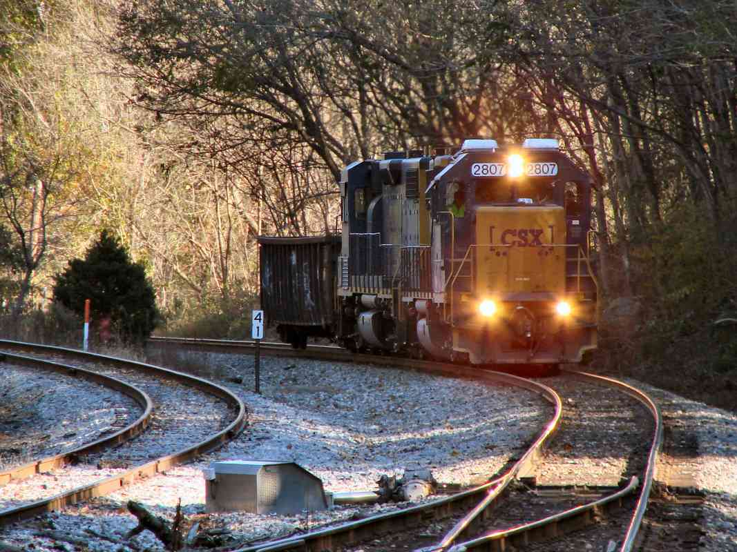
| 41 | west, east | Fr 41 K 2 | green line traces OML's original route | |
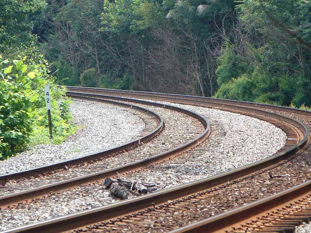
| 42 | west, east | Fr 41 G 2 | ||
| 43 | west, east (DH) | Fr 41 D 1 | unusually wide area here, B&O called it Helpers Siding | |
| 44 | west | Fr 32 B 13 | ||
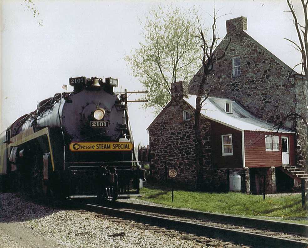
| 45 | west, east, in 1977 | n | Fr 31 K 13 | great railfan house (no longer extant); Chessie Steam Special in 1977 |
| 46 | west, east | n | Fr 40 G 1 | east of Monrovia |
| 47 | west | Fr 40 D 1 | ||
| 48 | west, north | Y | Fr 40 B 1 | |
| 49 | west | Y | Fr 39 K 3 | farm grade crossing ahead |
| 50 | east | Fr 39 H 2 | ||
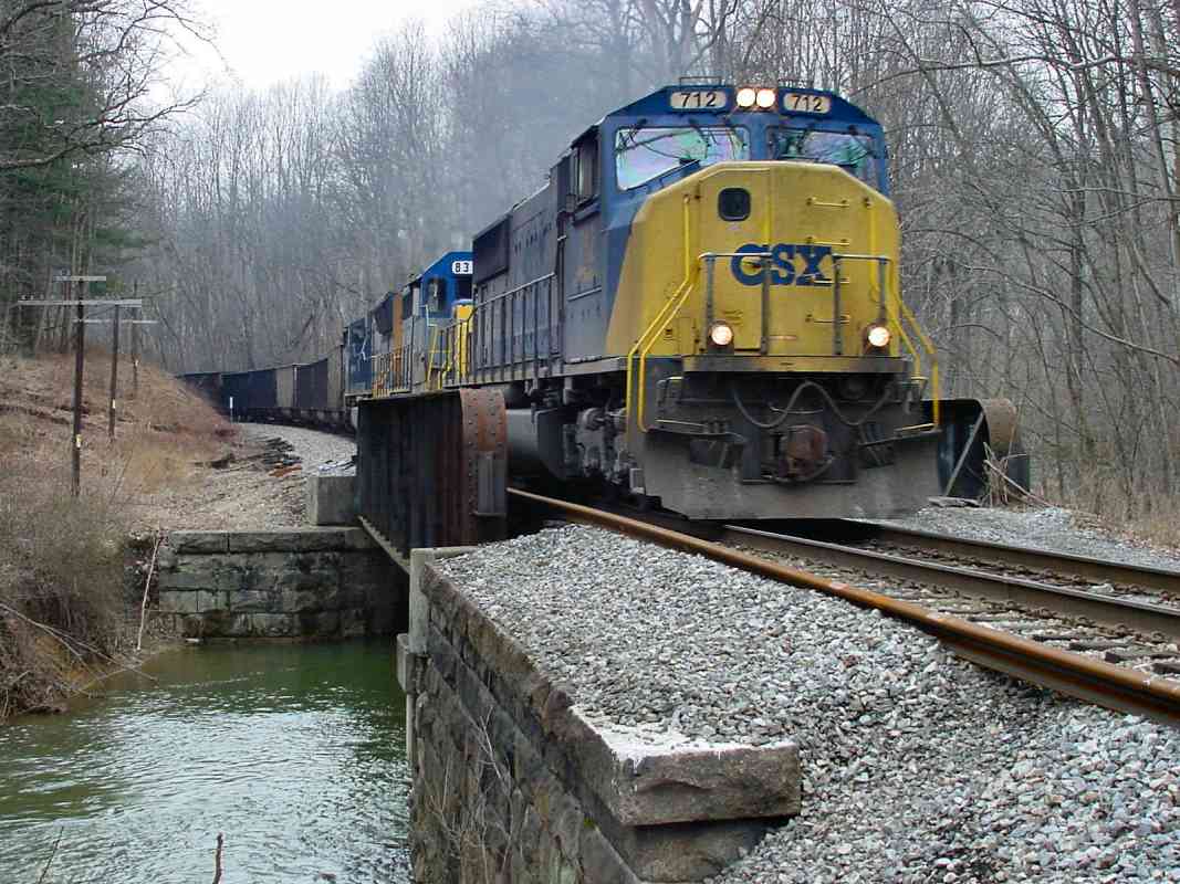
| 51 | west, south | Y | Fr 39 E 2 | CSX 712 at Bush Creek; mile marker in front of coal hopper in distance |
| 52 | west, east | Fr 39 C 4 | ||
| 53 | + west, south, east | Y | Fr 39 B 2 | 3 generations of markers; had been Reels Mill Yard |
| 54 | west (DH), +east | Fr 38 J 1 | Monocacy River bridge | |
| br 1 | north (DH), south (DH) | Fr 29 J 11 | Frederick Branch, Monocacy Station | |
| br 2 | north (DH), south (DH) | Fr 29 J 9 | Frederick Branch, Yards | |
| br 3 | north (DH), south (DH) | Fr 29 G 7 | Frederick Branch, South Street | |
| 55 | east (DH) | Y | Fr 38 G 2 | I-270 in distance |
| 56 | west (DH), south (DH) | Y | Fr 38 E 3 | near Thomas' muffin bakery |
| 57 | east? (DH) | Y | Fr 38 C 5 | |
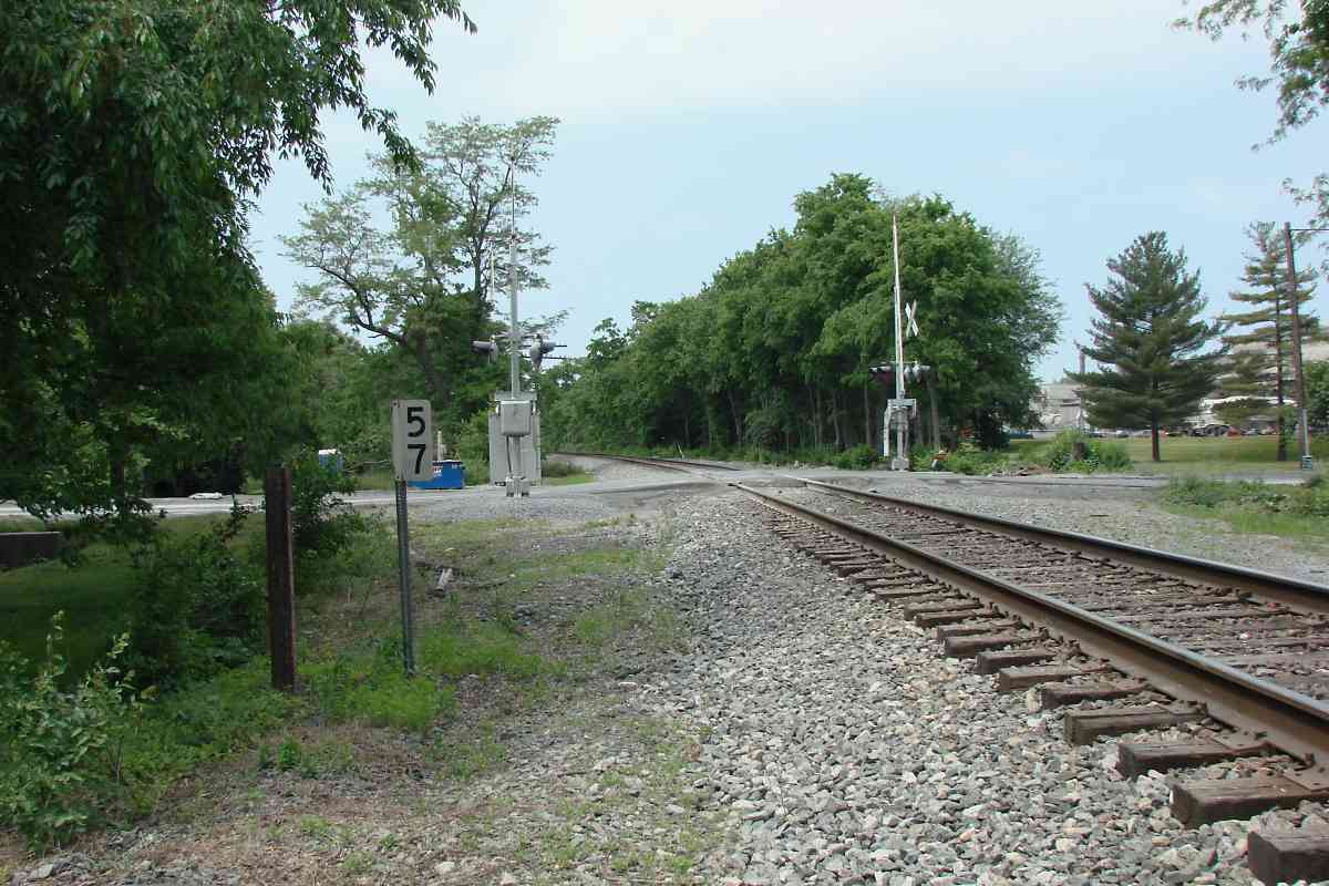
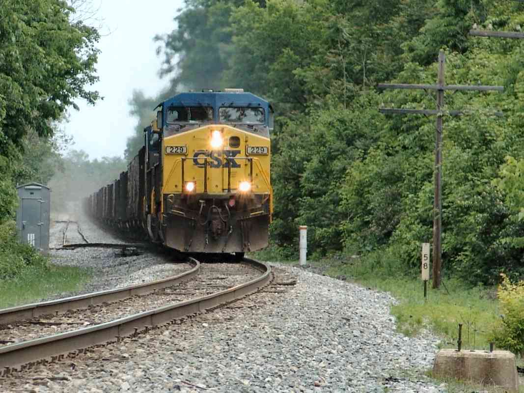
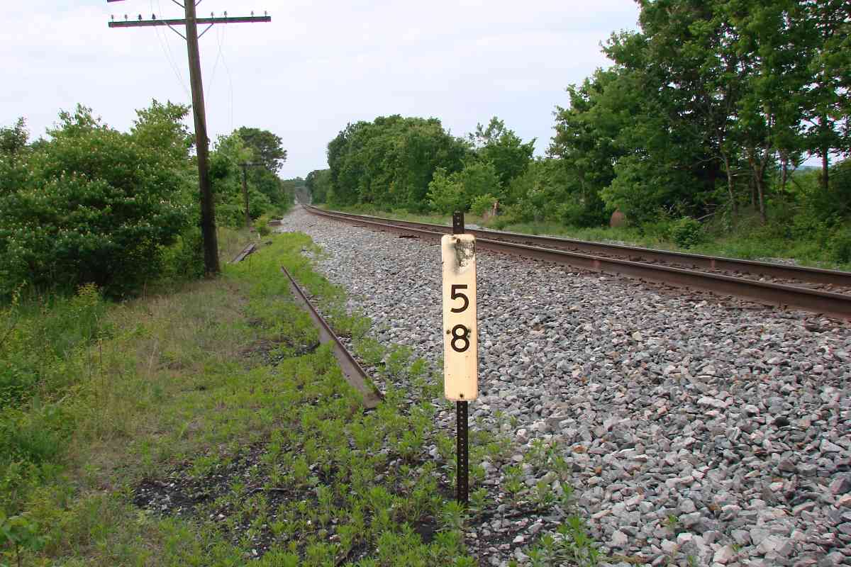
| 58 | east (DH), west (DH) | Fr 38 A 7 | CSX 229 | |
| 59 | west (DH), south | Y | Fr 37 J 9 | New Design Road grade crossing |
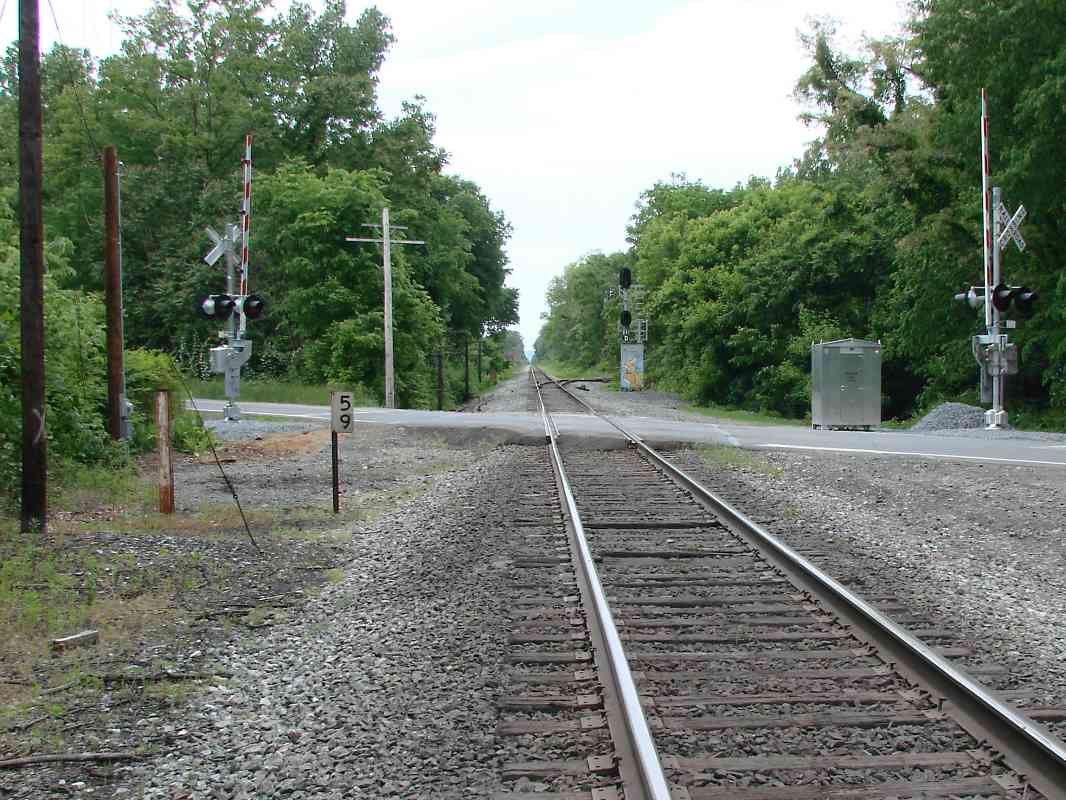
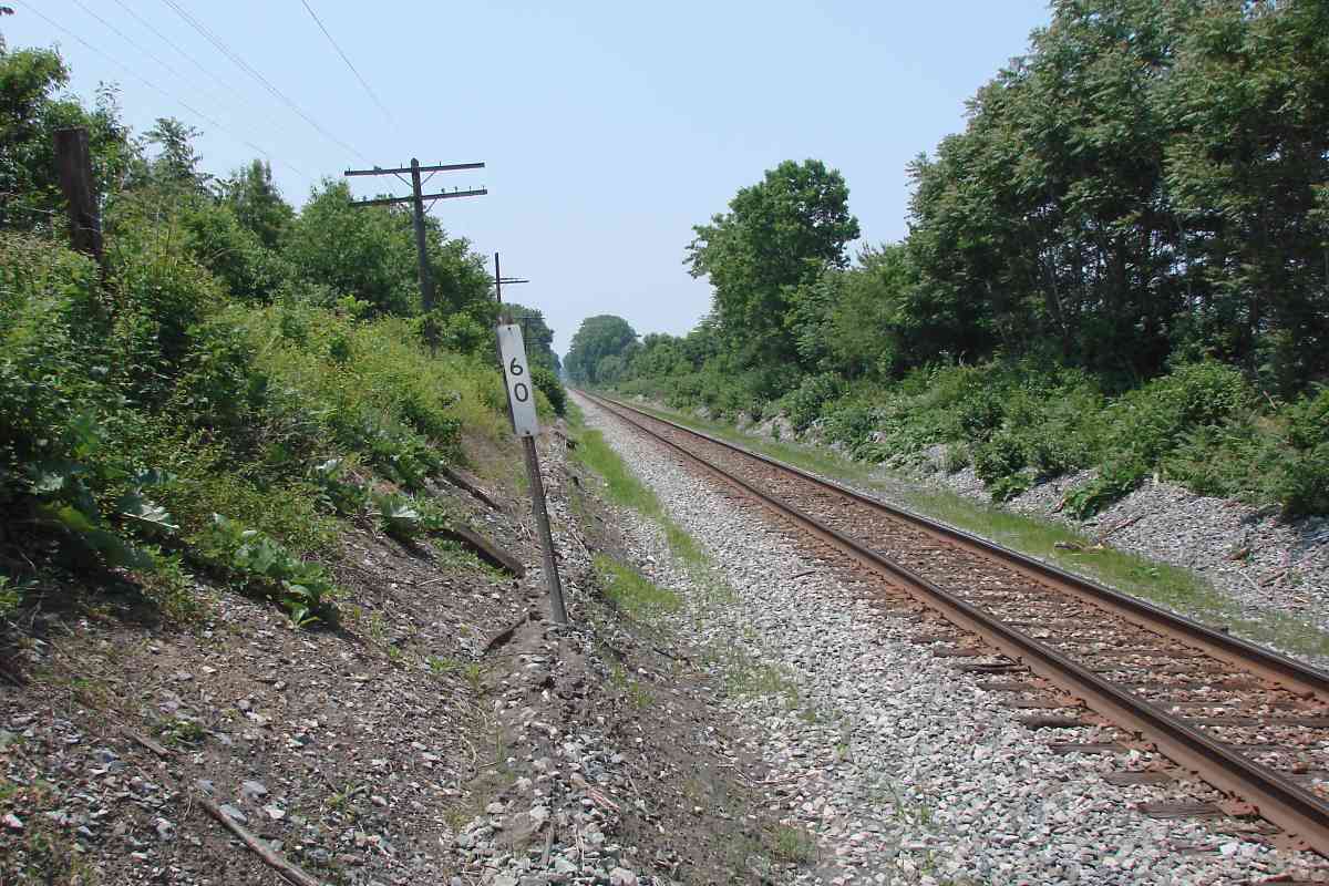
| 60 | west (DH) | Y | Fr 37 G 11 | |
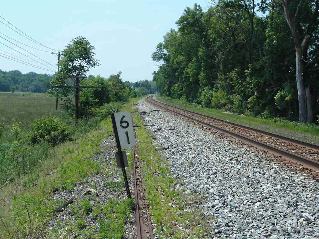
| 61 | west (DH), east (DH) | Y | Fr 37 E 13 | had been north (east) end of Adamstown Cutoff |
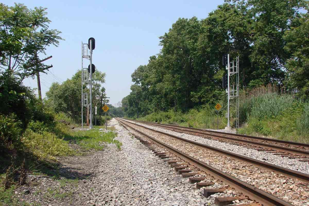
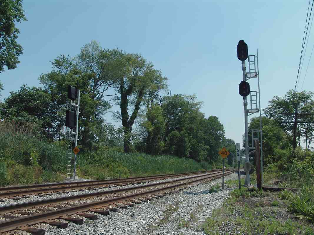
| 62 | west, south, east (all DH) | Y | Fr 44 C 1 | |
| 63 | south (DH) east (DH) | Y | Fr 44 A 2 | |
| 64 | west (DH) | Y | Fr 43 J 5 | east of Point of Rocks |
| 65 to 68 |
mps lost due to remeasuring after OML shortening of early 1900s; mps here west are OML's original; route is now Metropolitan Subdivision | |||
| 69 | west, east | Y | Fr 43 F 5 | note 69 painted on utility pole, bottom-right of east view |
| 70 | north | Fr 43 E 3 | marker at distant center | |
| 71 | north (DH) | Y | Fr 43 D 1 | |
| 72 | north (DH) | Y | Fr 36 C 12 | |
| 73 | west (DH), east (DH) | Fr 35 K 12 | CSX 6361 | |
| 74 | west (DH) | Fr 35 G 12 | Brunswick Yard | |
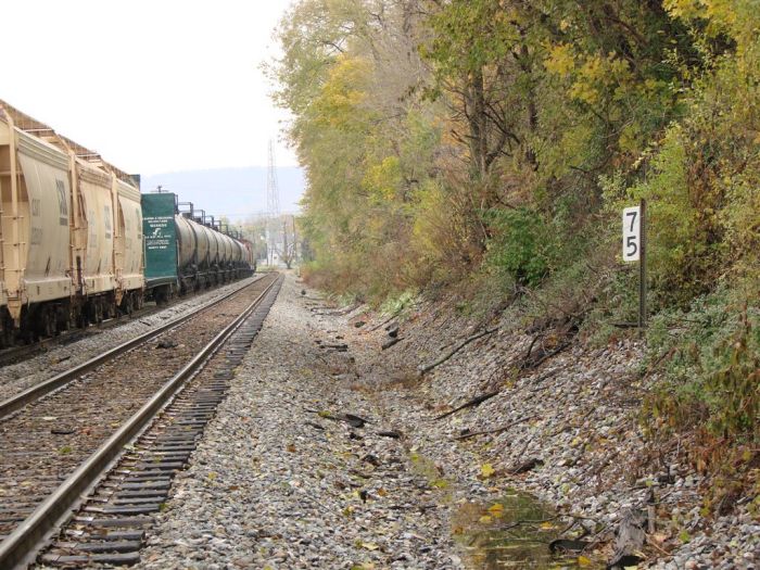
| 75 | west (DH) | Fr 35 E 12 | ||
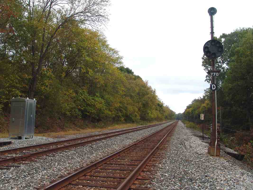
| 76 | east (DH), west (DH) | Y | Fr 35 B 11 | |
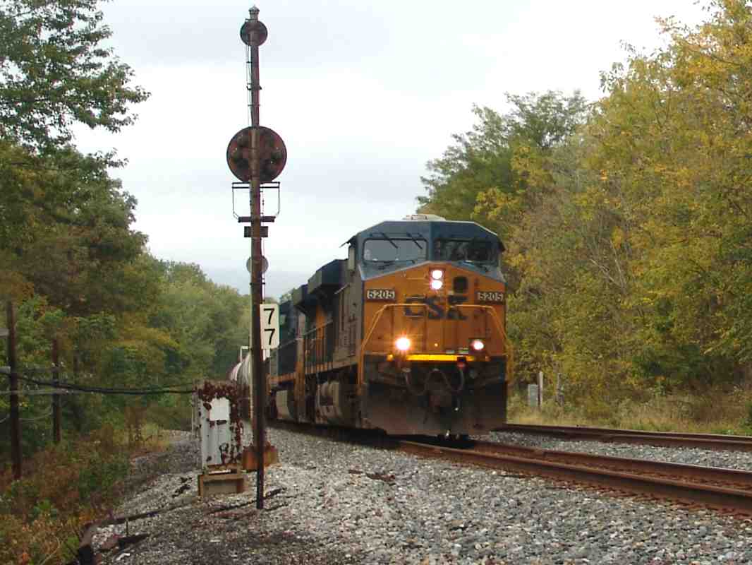
| 77 | west (DH), east (DH) | Fr 34 K 12 | CSX 5205 | |
| 78 | west (DH) | Fr 34 G 10 | ||
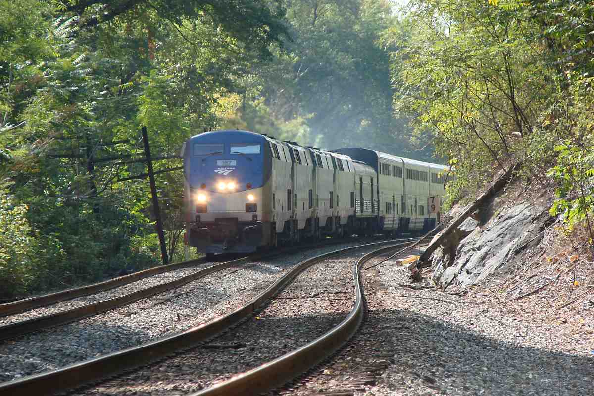
| 79 | west (DH), east (DH) | Wa 37 C 10 | Amtrak 157 | |
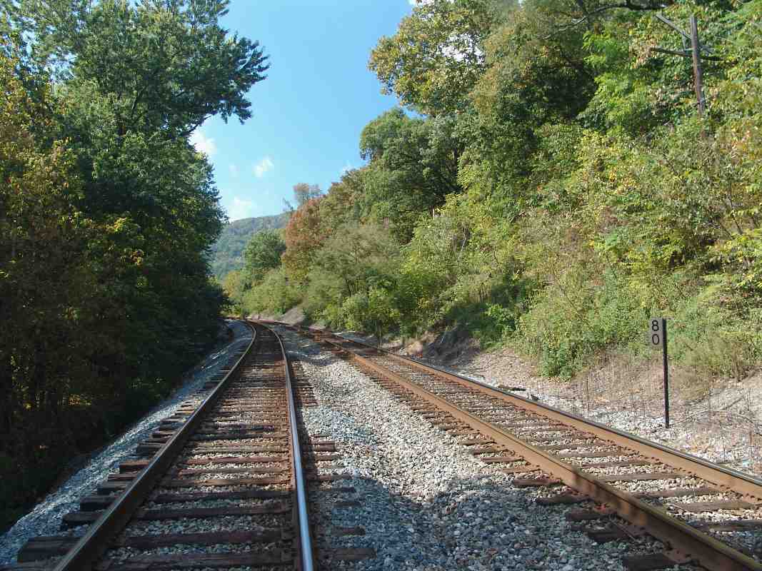
| 80 | west (DH) | Wa 37 A 10 | ||
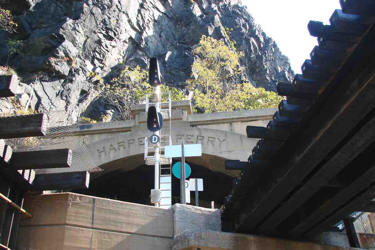
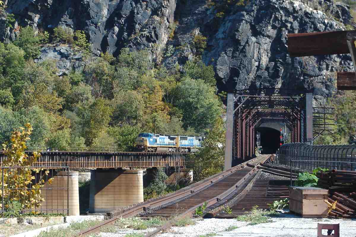
| 81 | west (DH) | Wa 36 H 11 | Harper's Ferry Tunnel east portal in distance | |
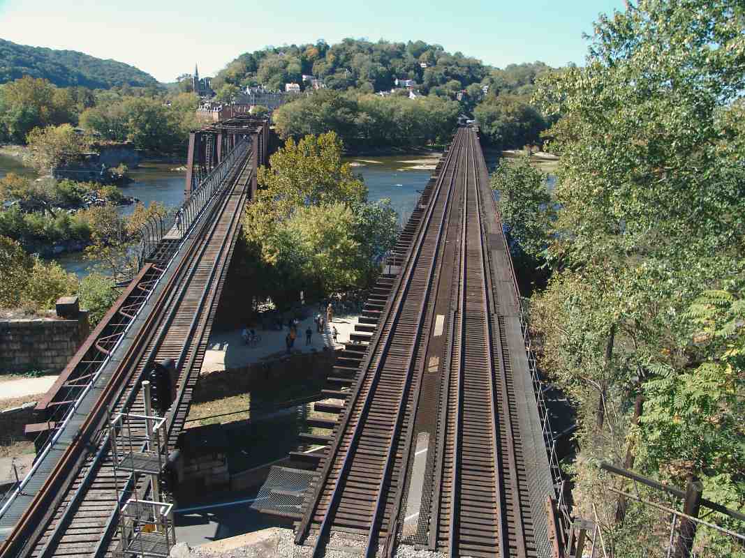
| 0 | east (DH) | Y | Wa 36 G 11 | marker 0 indicates start of Cumberland Subdivision |
| east (DH) west (DH) | Wa 36 G 11 | two pics as the tracks cross Potomac River into Harper's Ferry, WV |


