|
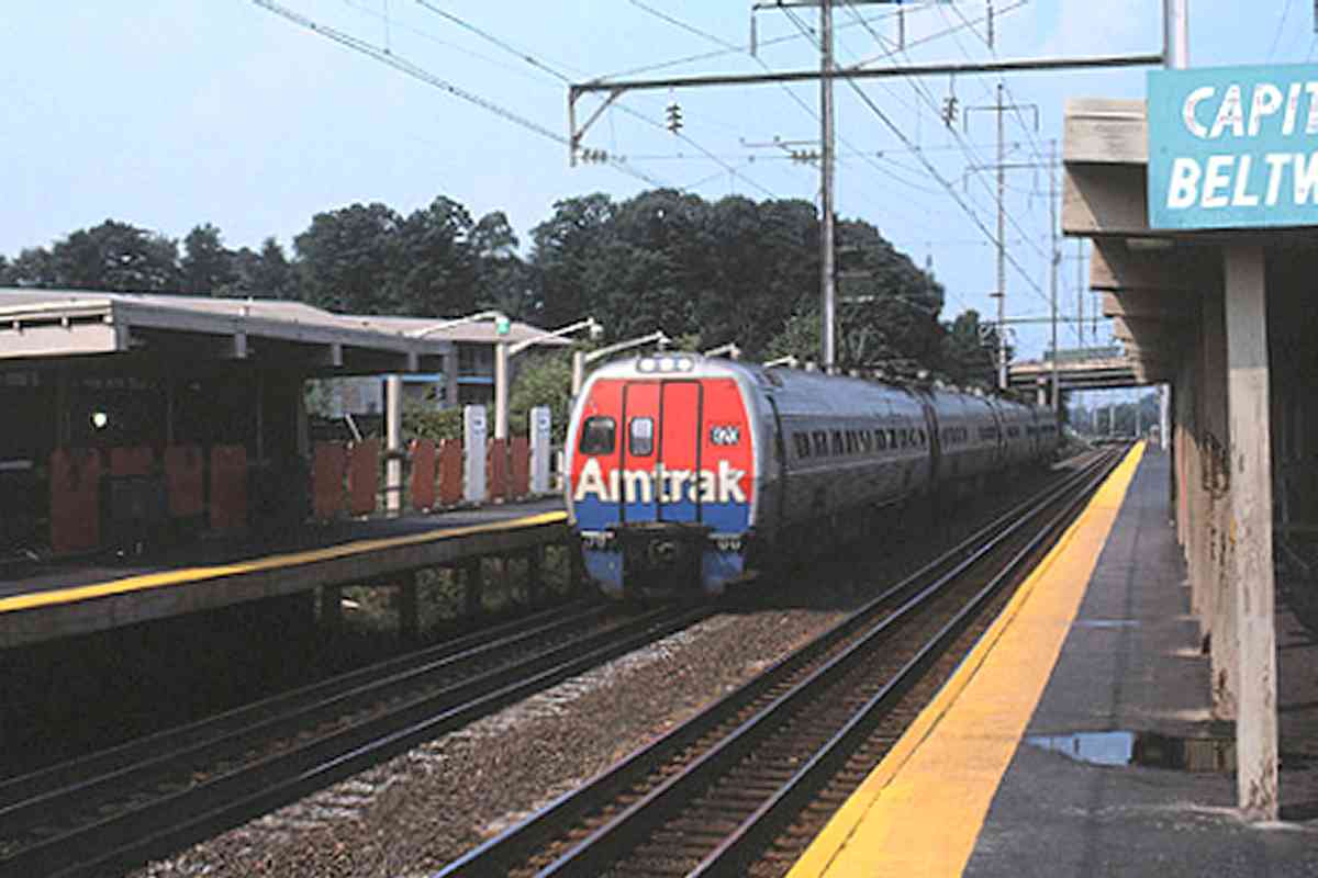
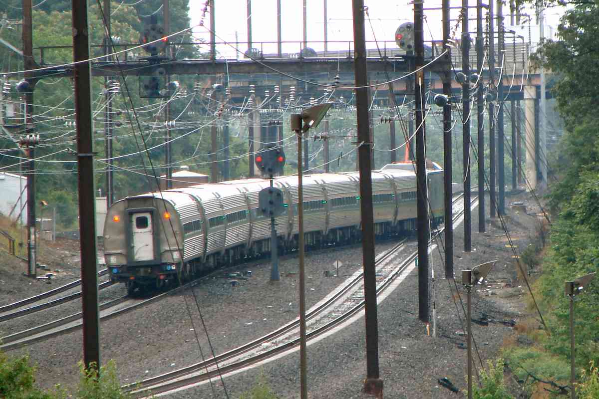
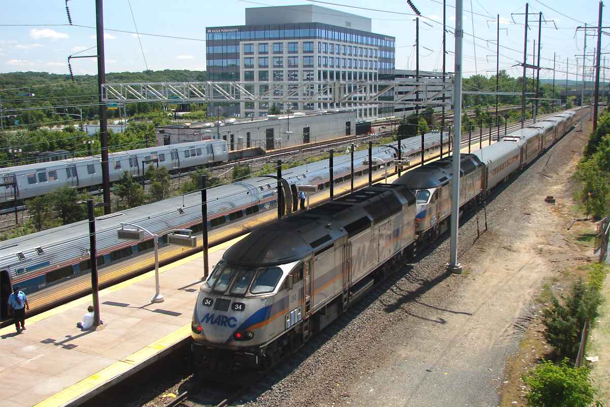
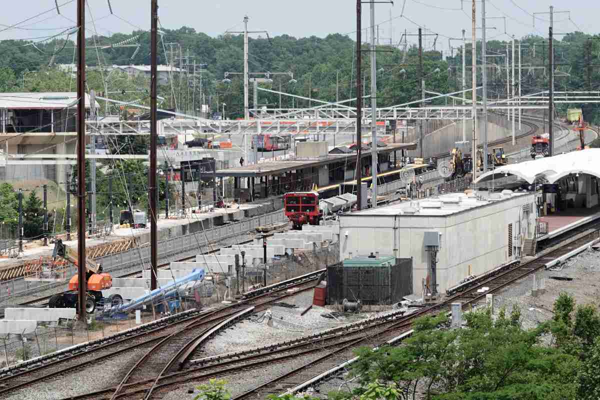
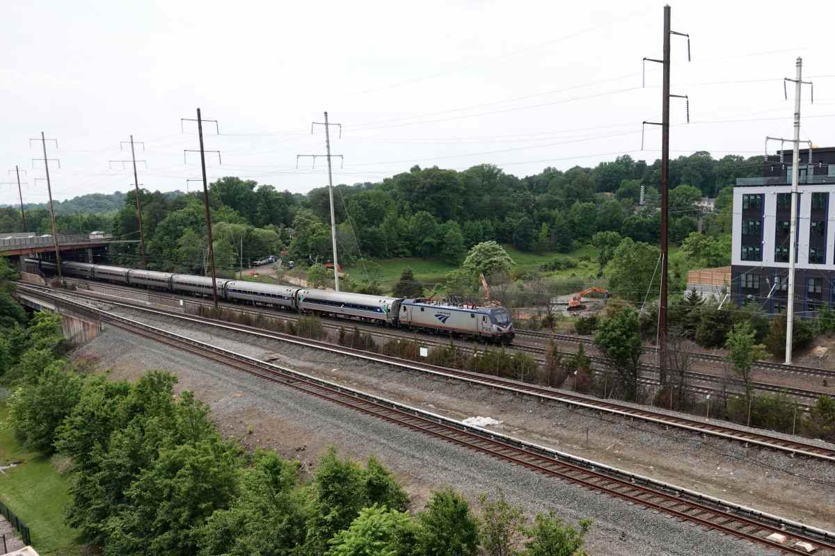
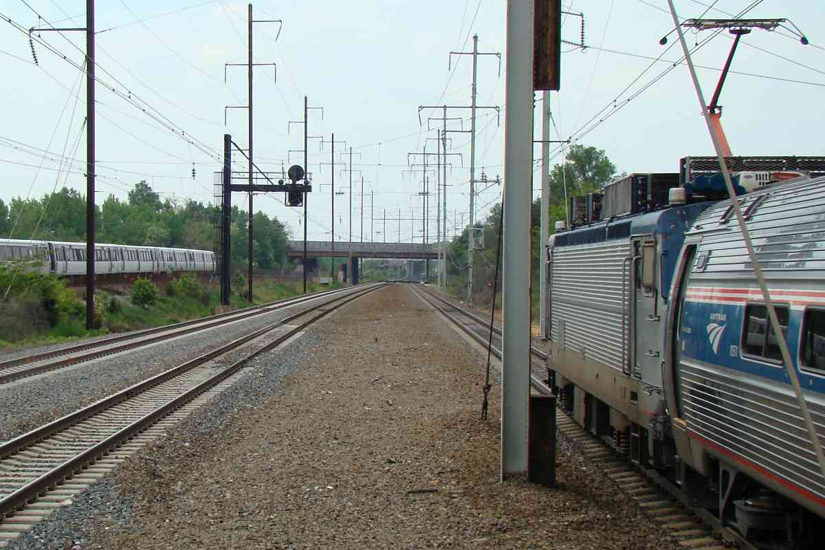
Concern about high speed trains running adjacent to, but not stopping at,
the Capital Beltway's platform led to the addition of gauntlet track, the
nearer set of rails seen in this photo, as at Seabrook. Gauntlet signals,
the small circles next to the larger position light signals, alerted
train operators to the switch settings.
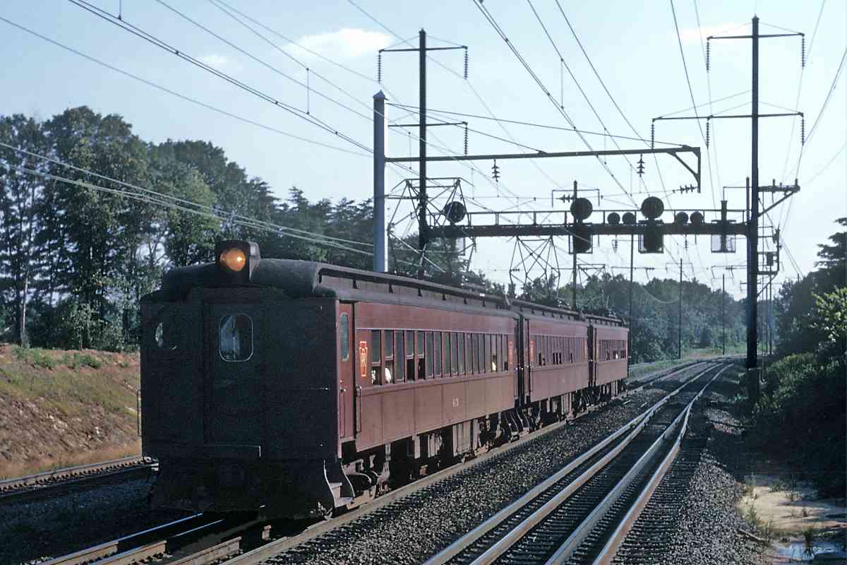
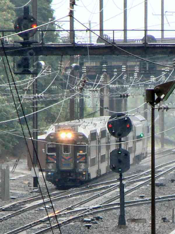
Penn Central would never get around to repainting all its old PRR equipment,
hence the leftover red and gold Pennsy keystone heralds on these MP54 units.
The company had filed for bankruptcy a few weeks before this photo.
MP54s came in several varieties, the first of which entered service
during 1908. Such "red cars" or "red rattlers" were a familiar sight to
commuters in various Northeastern US cities until the last car was retired
in 1981. Several examples survive in museum collections.
Links:
1970,
1970s
|