|
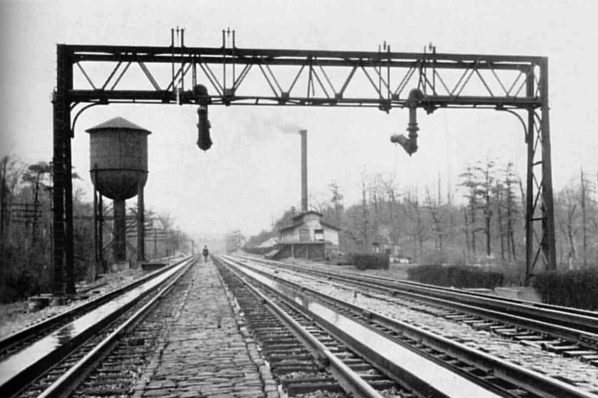
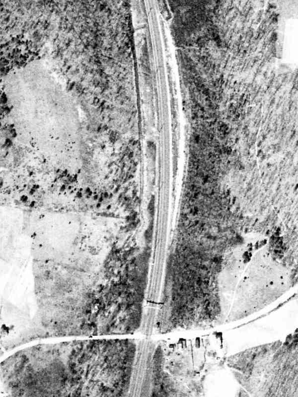
Determining the exact location of this photo has been a challenge. Note
the water gantry, as well as water in track pans from which properly-equipped
steam engines could scoop up fresh water without having to stop.
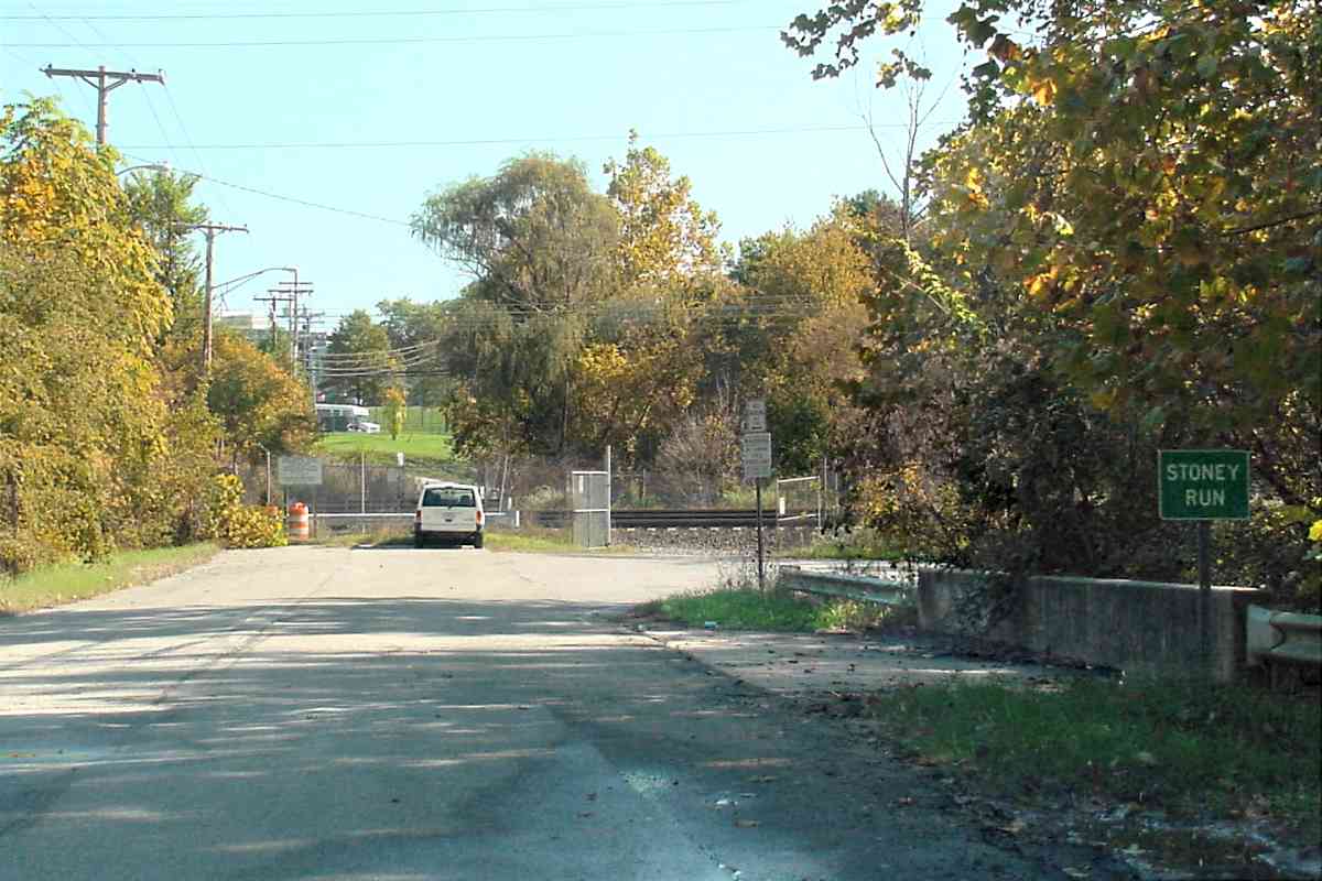
Triumph VI authors Charles Roberts and David Messer caption this photo
"... on the tangent approach to Stoney Run shown in a 1928 view looking
northward." This suggests PRR's Stoney Run Station is ahead, somewhere
beyond the factory/mill on the right. That would put the factory trackside
west of present-day BWI runway 10. The problem is the grading along this
stretch is not flat enough for stable track pan water, i.e. the water would
flow down the pan toward the low end.
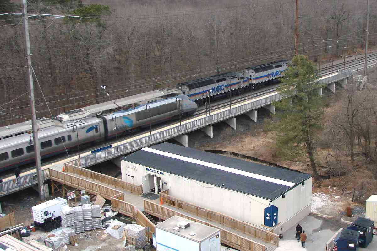
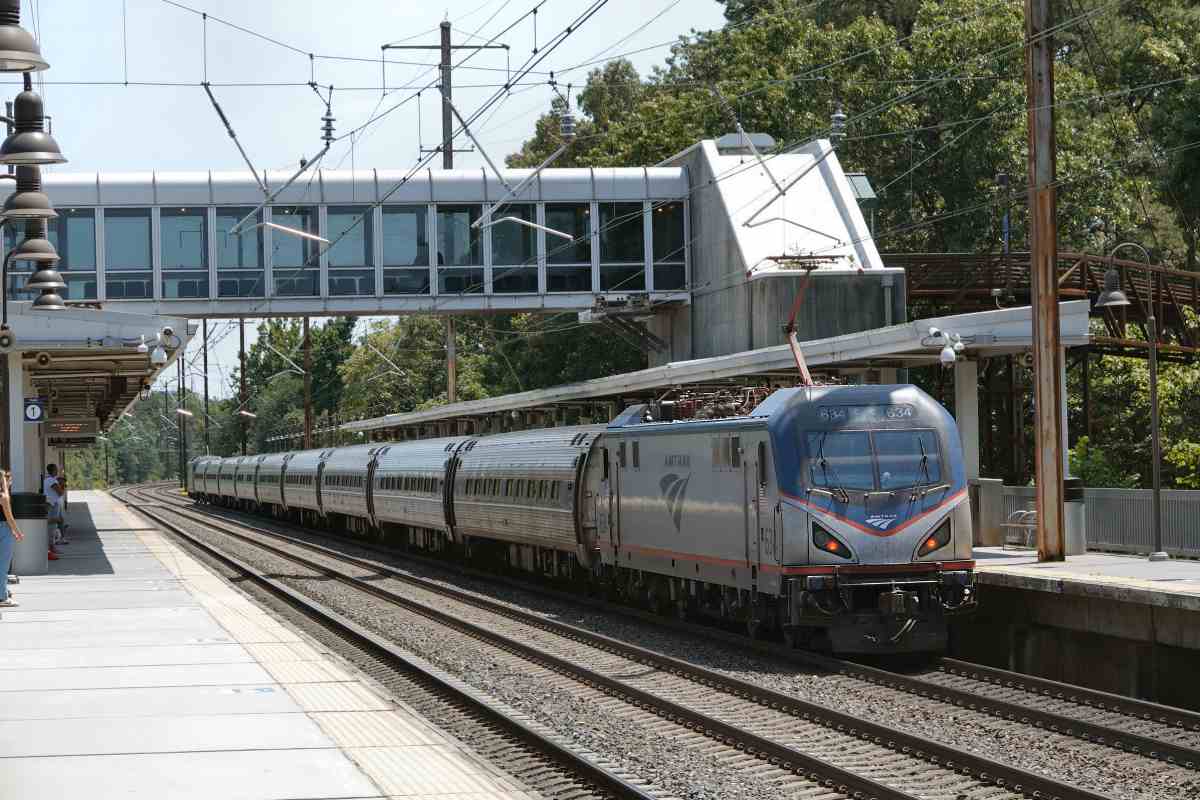
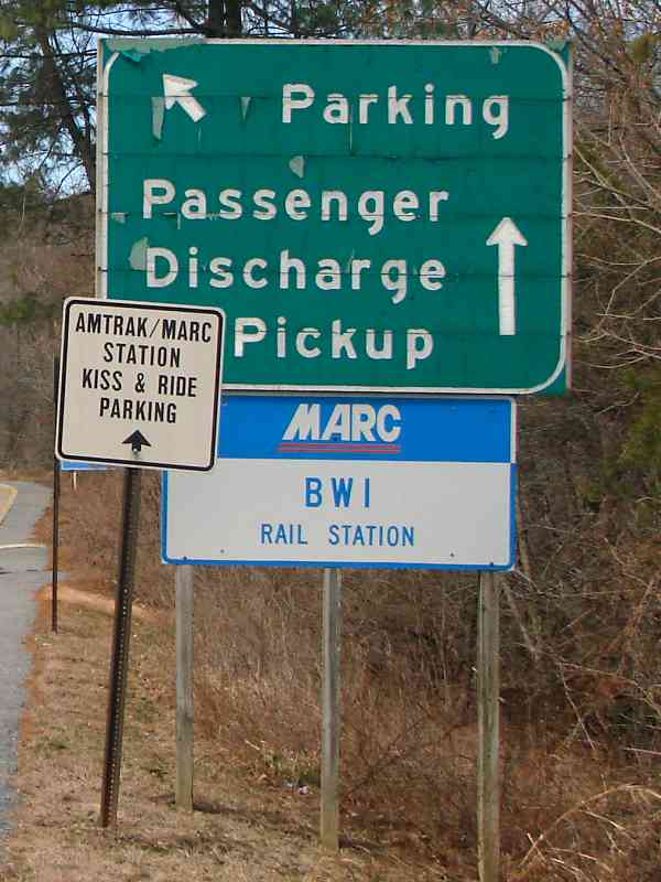
A better candidate location is with Stoney Run Station behind the photographer.
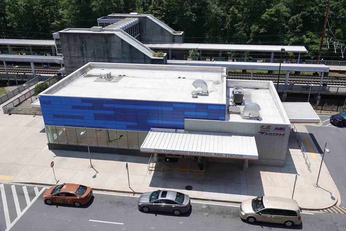
That puts the factory about where BWI Rail Station now resides. Such placement
aligns the near water tank, as well as both the near and distant water gantries,
adjacent to convenient water supply in the form of Stoney Run tributaries. The
grading is flat and level. Plus, this is where a local resident claims
"Stoney Run Pumping Station" was. The factory might be part of Standard Gravel
and Sand Company that had dredged Stoney Run.
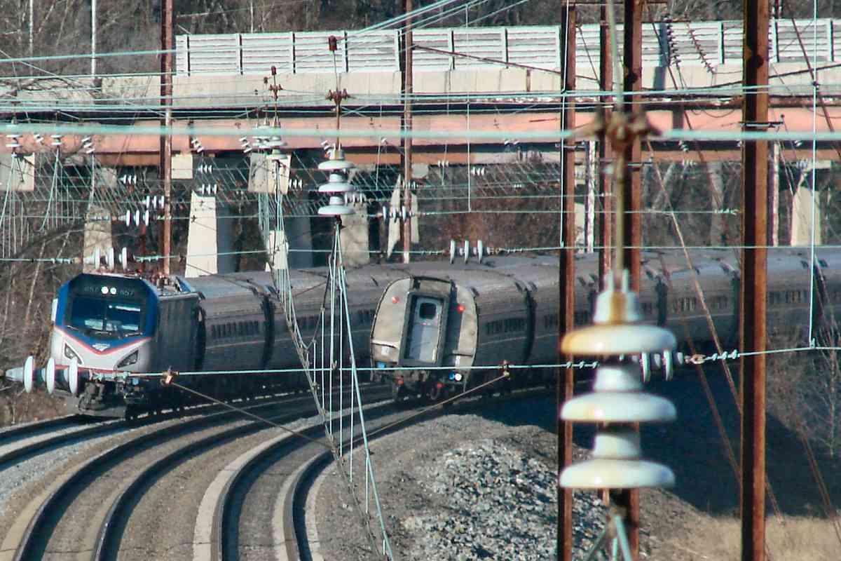
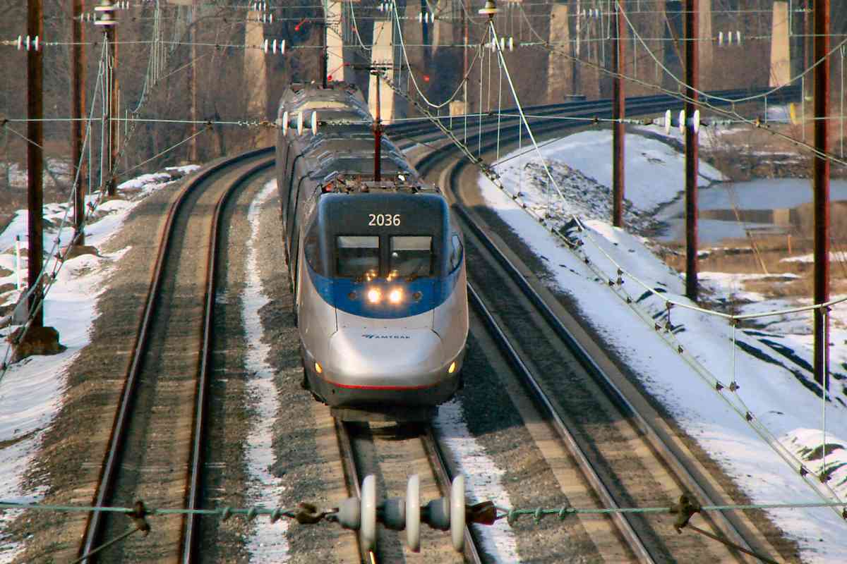
A problem with both locations is neither the water equipment nor the factory appear
in 1938 aerial photos of either stretch of track. Perhaps they were removed when
PRR electrified the line during the 1930s.
|