|
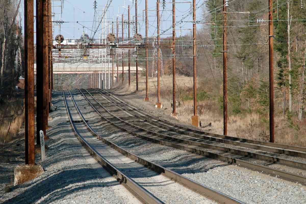
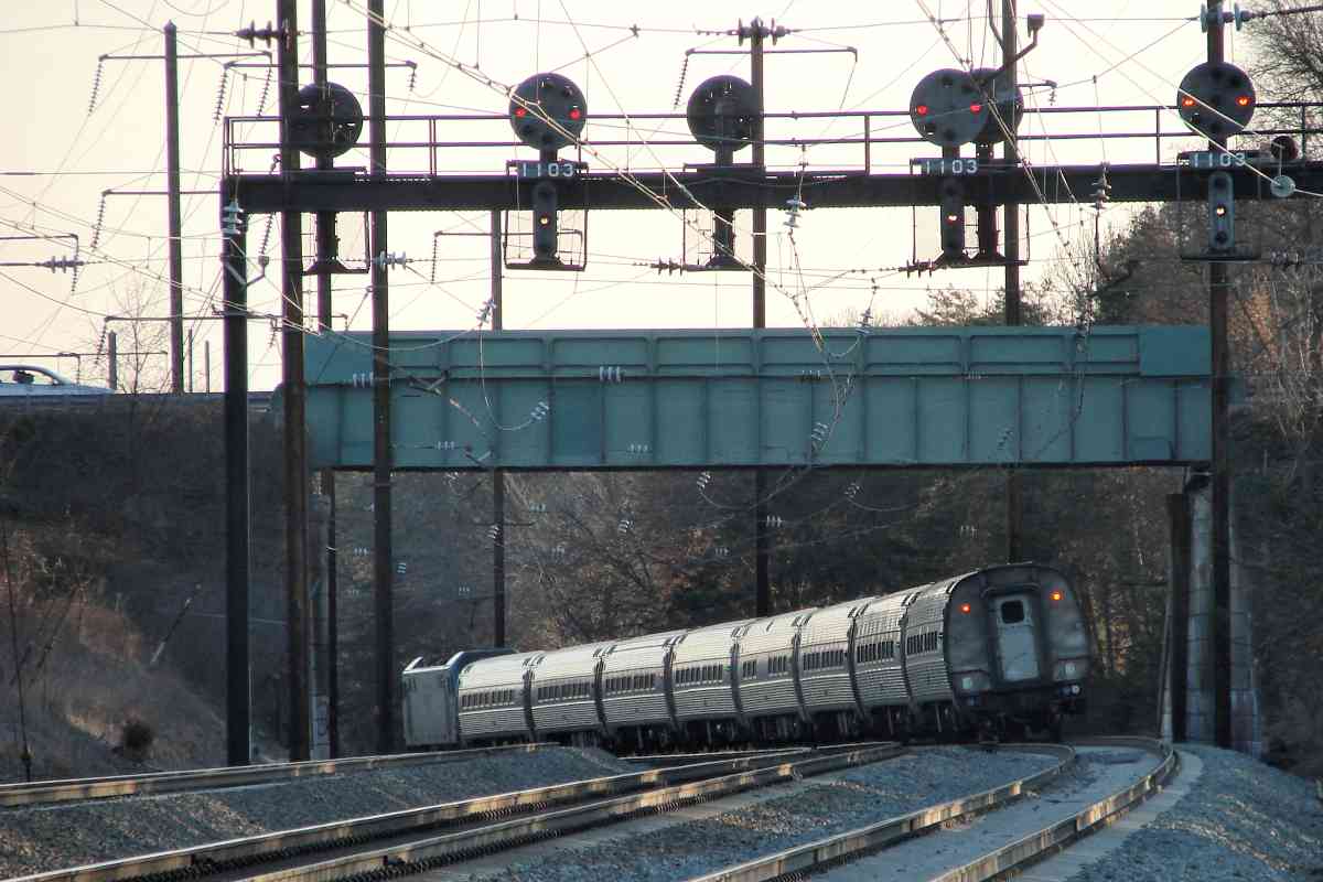
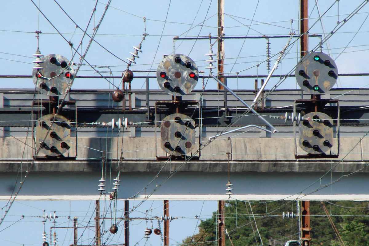
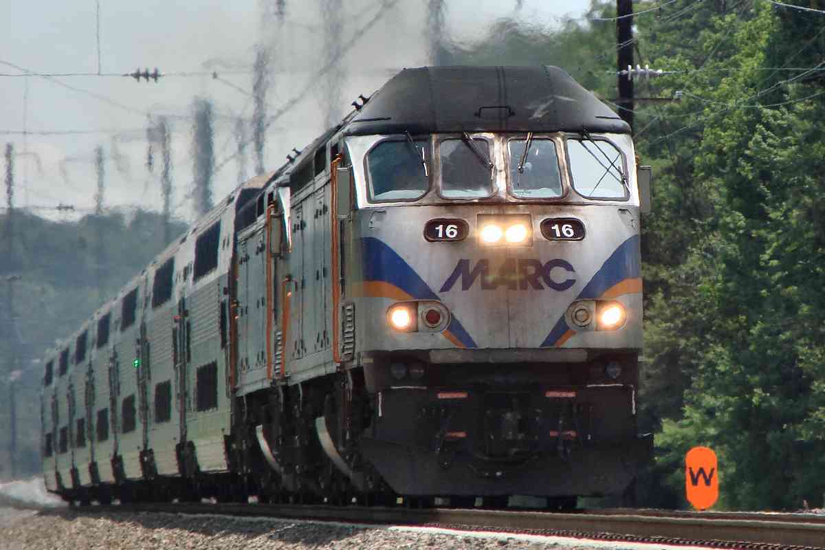
PRR signalling used the center lamp on the top signal head, but
Amtrak does not. When you find a signal with a patched-over center
lamp, like these examples, you know it's been around since the PRR era.
The red ones express Rule 292, Stop, and green Rule 281, Clear,
for their respective tracks underneath. The lower signal
heads remain dark except to modify those basic rules.
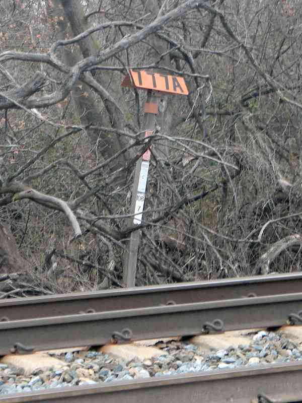
The lack of milepost number plates reveals these are absolute
signals, ones controlled by a block operator or dispatcher.
Automatic signals, ones with number plates, that are controlled
by machinery are the more common of the two types along the
Corridor in Maryland.
|