TrainWeb.org Facebook Page
PRR Photo Tour


PRR Sparrows Point Branch
Modern day photo tour

Accompanying each photo below are:

Click a photo to see a larger view. Please send your comments and corrections to Steve.


<< Previous (index) | THIS PAGE: Sparrows Point to Grays Yard | Next (future) >>

NS Sparrows Point Industrial Track - Brief Historical Background:

Map 1898
Image courtesy Johns Hopkins University

Map 1898
Mile: Date: 1898
Ease: A View: N (up)
Area: T6:
Map: Ba 45 B 12 (center) Topographic Maps

This map depicts the mill about ten years after it took the place of a peach farm. The railroad connecting at upper left belonged to the mill but later was purchased by Northern Central, part of the PRR collective.

Link: Fitzell farm 1883


View 1898
Photo courtesy HSBC

View 1898
Mile: ~8 Date: ~1898
Ease: View: N?
Area: T6: 307
Map: Ba 45 B 13? Topographic Maps

At photo time, this would have been the mill's Baltimore and Sparrows Point (B&SP) trackage.

The steel mill, then named Maryland Steel Company of Baltimore County, was resuming production after the Panic of 1893 had suspended operation for four years.

Link: source photo


B&SP 1
Photo courtesy HSBC

B&SP 1
Mile: Date: ~1900
Ease: View: NW?
Area: T6:
Map: Ba 45 Topographic Maps

B&SP's engine number 1 wrecked not long after this photo.

When Bethlehem Steel purchased the mill in 1916, it took over railroad operations within its grounds, calling it the Patapsco & Back Rivers Railroad. The remainder of the B&SP route to/from Colgate Creek was sold to Northern Central. By running its own railroad, the mill was able to more easily welcome multiple other railroads, such as B&O, to connect. B&SP completed switching from steam to diesel during May 1947.

Links: source photo, B&SP 2, PBR in 1949, 1977


Steel Mill 1938
Photo courtesy Johns Hopkins University

Steel Mill 1938
Mile: Date: Apr 1938
Ease: A- View: N (up)
Area: A- T6:
Map: Ba 45 B 12 Topographic Maps

After forty some years, the mill had expanded to fill most of the natural land between Humphreys Creek and the Patapsco River.

Link: 1947


Shipyard 1940
Photo courtesy Baltimore Sun

Shipyard 1940
Mile: Date: May 1940
Ease: View: E
Area: T6: 308
Map: Ba 44 J 12 Topographic Maps

This shipyard adjacent the mill, along with nearby Fairfield, would churn out thousands of seagoing vessels for World War II.

Links: source photo, Liberty ships at Fairfield


Steel Mill 1994
Photo courtesy Google

Steel Mill 1994
Mile: Date: 1994
Ease: View: N (up)
Area: T6: 306
Map: Ba 45 B 12 Topographic Maps

Demands of World War II and a postwar building boom prompted expansion of the mill onto landfilled areas both north and south. By 1958, it had grown into the largest steel mill in the world. Note that the 1938 photo fits across the middle of this later photo. This rectangular view encompasses about seven square miles.


Fort Carroll

Fort Carroll
Mile: Date: Dec 2016
Ease: A View: SE
Area: A T6:
Map: Ba 44 F 9 Topographic Maps

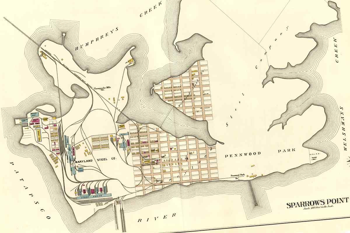
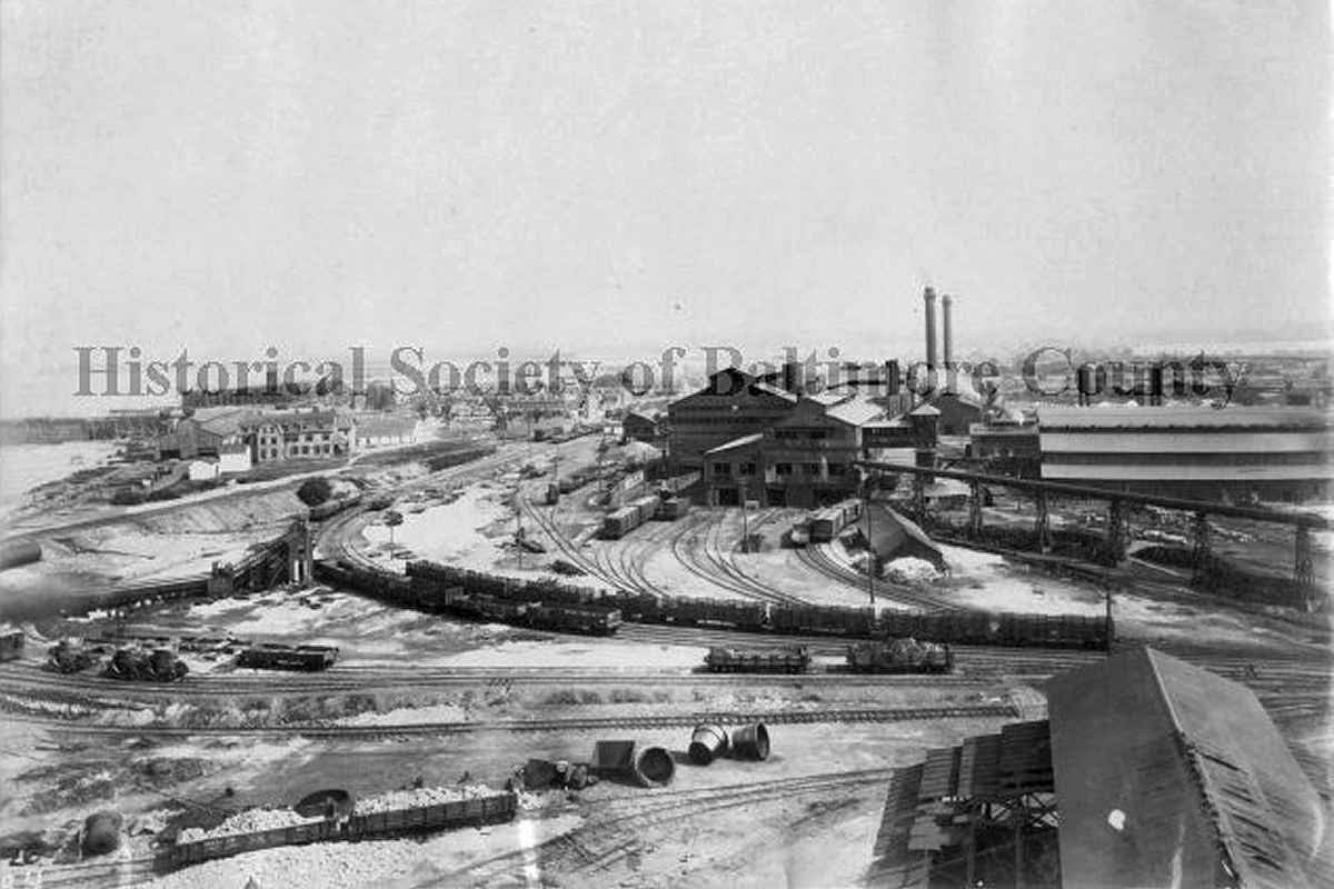
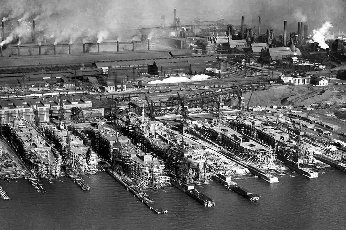
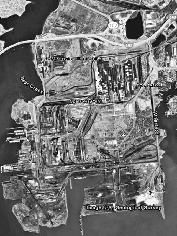
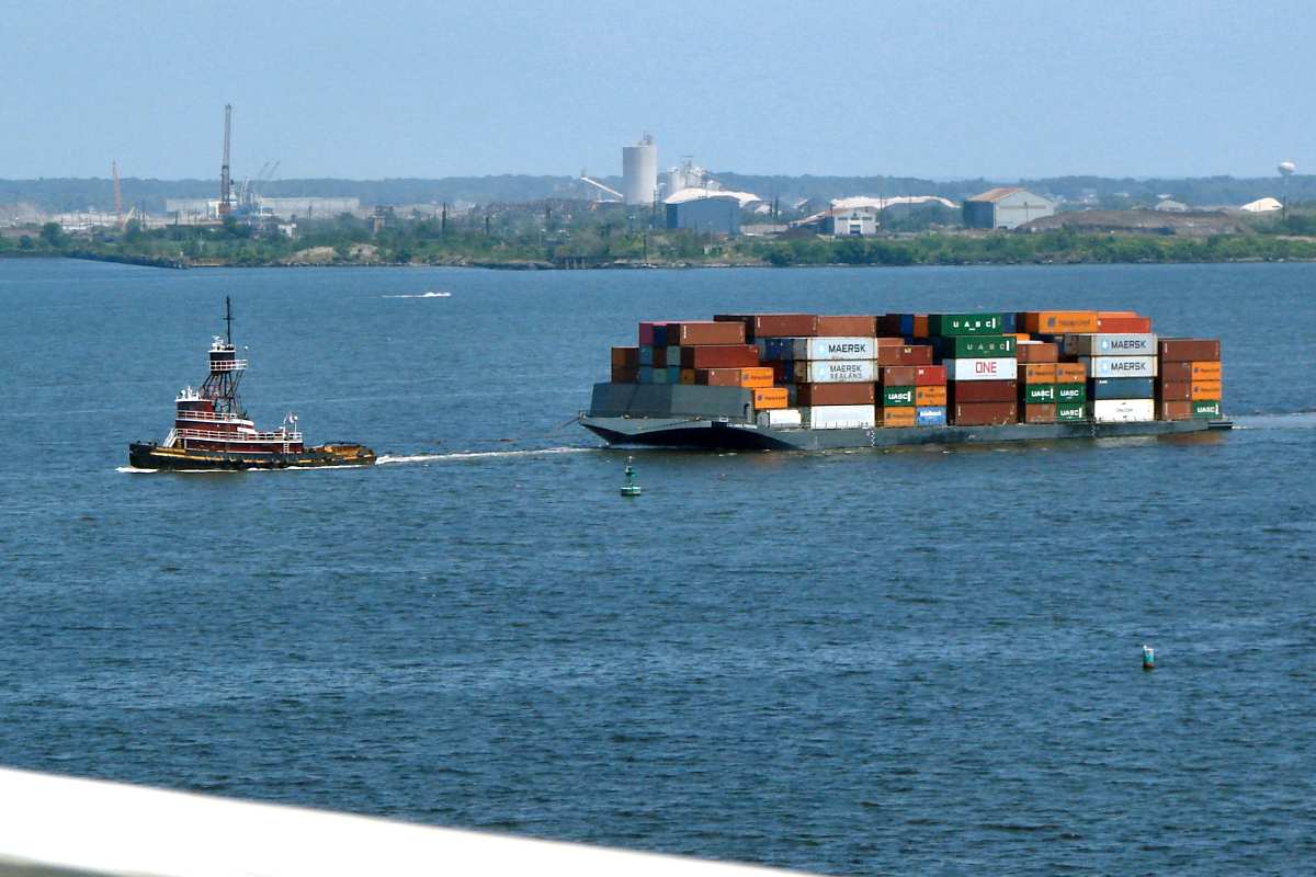
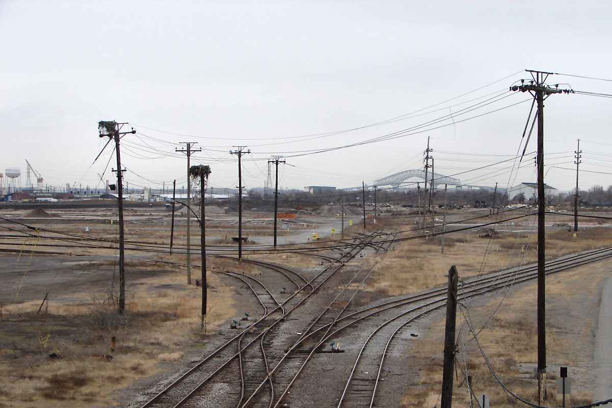
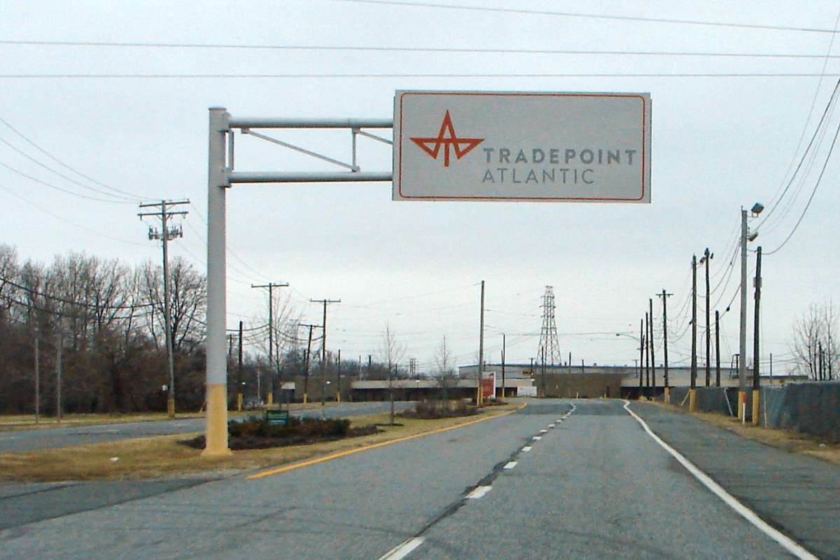
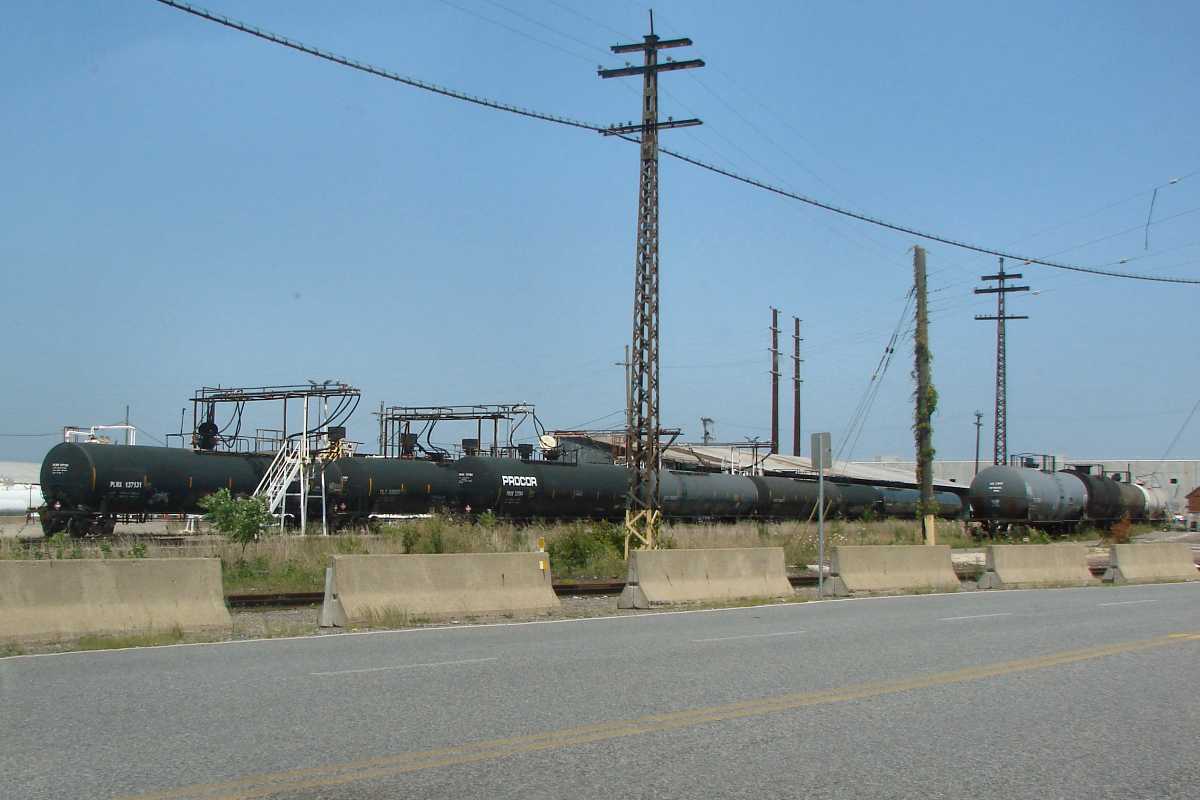
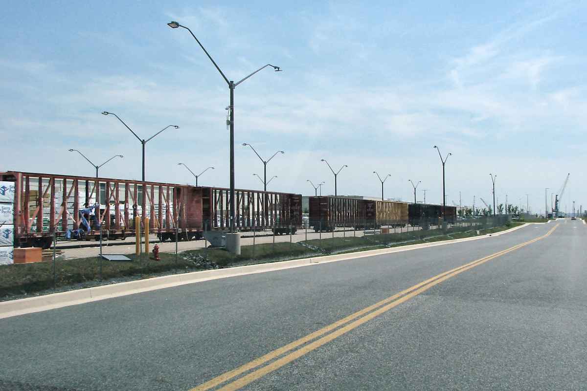
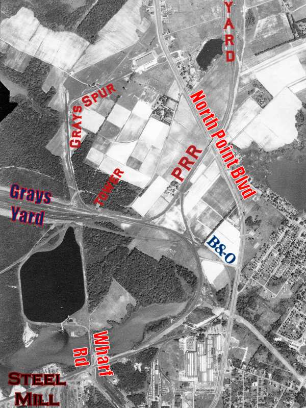
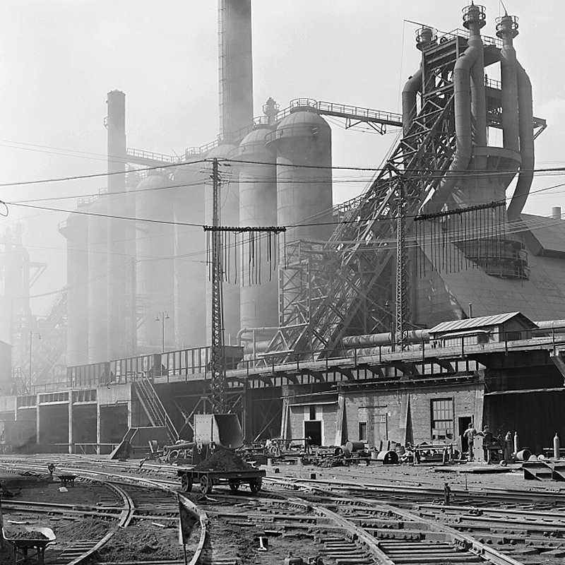
In the distance at photo time, the steel mill was being disassembled 
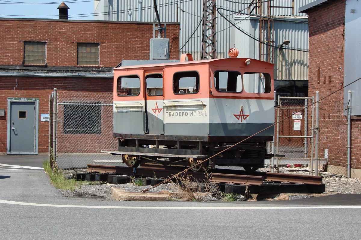
and prepared for the next resident, Tradepoint.

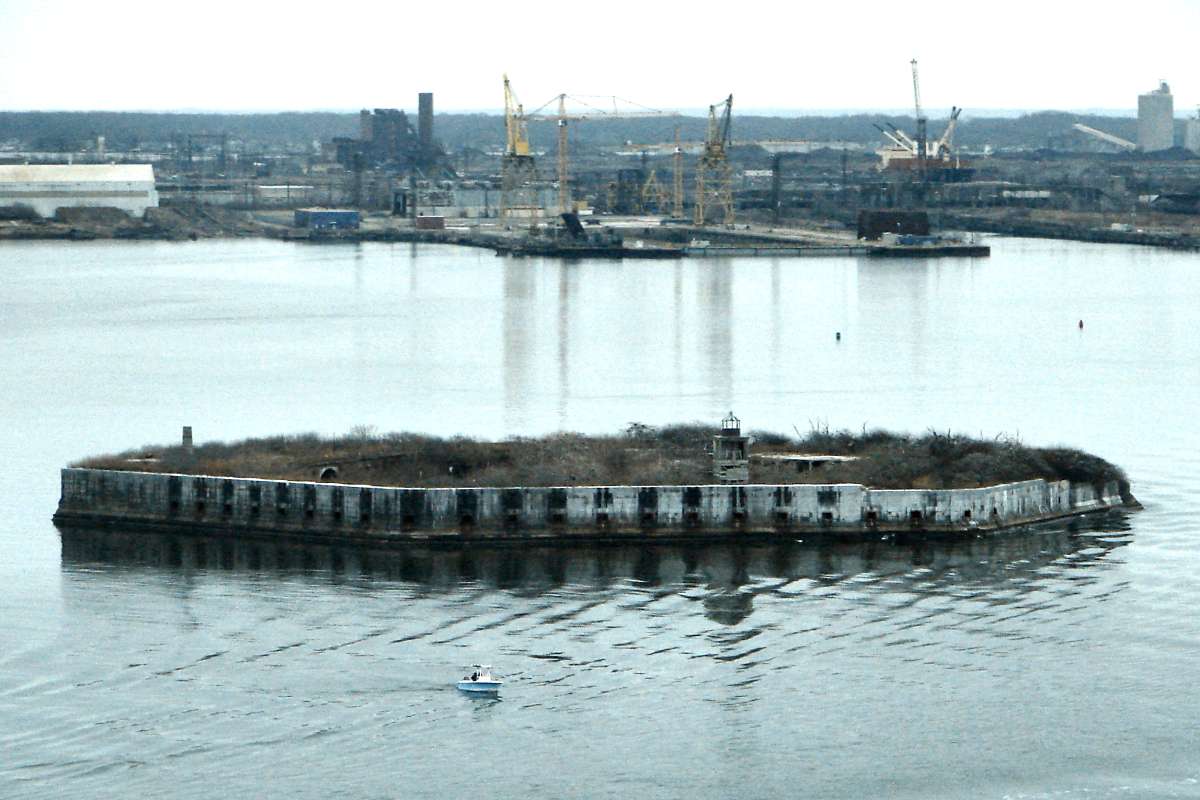
Having learned from British bombs bursting in air over Fort McHenry, during the 1840s the US military created an artificial island a few miles southeast of Baltimore's harbor, then placed Fort Carroll atop it. After submarines and ICBMs obviated it, the outpost was sold during the 1950s to the Eisenberg family, who envisioned remaking it into a casino. Those plans were dashed when a judge ruled Fort Carroll is not located in Anne Arundel County, where slot machines were legal, but rather in Baltimore County, where they were not. County and city borders both make an unusual jog in this vicinity, one exploited by Jimmy McNulty in season 2 of The Wire.

Links: Fort Carroll, photos on Fort Carroll


Teardown

Teardown
Mile: Date: Dec 2016
Ease: A View: SE
Area: A T6:
Map: Ba 44 G 12 Topographic Maps

Unable to compete with foreign steel makers, Bethlehem sold the mill in 2003. A series of subsequent owners during the following decade was unable to resurrect the mill, leading to the site's conversion to a port beginning in 2014.

Teardown of the steel mill's old structures was wrapping up during 2016. The bright building at left dates to around 2000, and is one of few Bethlehem buildings retained by new landowner Tradepoint.


Tugboat

Tugboat
Mile: Date: Jul 2022
Ease: A View: SE
Area: A T6:
Map: Ba 44 F 9? Topographic Maps

So far, Tradepoint (background) has taken only some of the business of other ports, like that at Seagirt/Canton, destination of the tug McAllister Sisters with barge Columbia Freedom.


Cleanout

Cleanout
Mile: 6.5 Date: Dec 2016
Ease: A View: W
Area: B T6:
Map: Ba 45 D 10 Topographic Maps

Much of the mill site cleanup was finished by 2017, though a rusty, ruddy hue remained.

Link: 2011


Tradepoint

Tradepoint
Mile: Date: Dec 2016
Ease: A View: S
Area: B T6:
Map: Ba 45 D 11 Topographic Maps

This welcome sign was one of the first new items to be installed.

Link: Tradepoint site


Cleaned

Cleaned
Mile: 8.0 Date: Jul 2022
Ease: A View: W
Area: B T6:
Map: Ba 45 B 12 Topographic Maps

Tradepoint Avenue has a clear view west to Key Bridge. A longer-term problem for Tradepoint, as well as for all seaports, is a rising ocean level as ice melts. Much of Tradepoint is barely 10 feet above 2022 sea level, so might go under water during the 2100s.

Link: 2022


Hookup

Hookup
Mile: 7.9 Date: Jul 2022
Ease: A View: NE
Area: B T6:
Map: Ba 45 B 11 Topographic Maps

Railcars trade fluids along Tradepoint Avenue.

Link: TPR 217 2021


Deliveries

Deliveries
Mile: 8.3 Date: Jul 2022
Ease: A View: SE
Area: B T6:
Map: Ba 45 B 12 Topographic Maps

Deliveries to a Home Depot warehouse now happen along Plate Mill Road.

Link: TPR 217 2022


Inspection Car

Inspection Car
Mile: 7.8 Date: Jul 2022
Ease: A View: N
Area: B T6:
Map: Ba 45 B 12 Topographic Maps

1940 Brick buildings that were home to the Patapsco & Back Rivers RR managed to survive the transition to Tradepoint. Whether this four-wheel vehicle was ever an actual inspection car, I do not know, but it signals Tradepoint is proud of offering rail service. Small rail carts were indeed used at the mill, as seen in the 1940 view at left courtesy Library of Congress.

Links: LoC source photo, TPR 8030 2021


From Wharf Road

From Wharf Road
Mile: 6.5 Date: Dec 2016
Ease: A View: NE
Area: B T6:
Map: Ba 45 D 10 Topographic Maps

All trains exiting the mill area pass under Wharf Road. Most bend left along the PPR-prompted newer alignment to/from Grays Yard (left). B&O's older alignment to/from that yard (right) is mostly disused.

Link: 2020


Aerial 1952
Photo courtesy Johns Hopkins University

Aerial 1952
Mile: Date: Jul 1952
Ease: View: N (up)
Area: T6:
Map: Ba 45 E 8 (center) Topographic Maps

B&O was first to Grays Yard. Its sharp curve at the yard's east end was blunted by the PRR's Sparrows Point Branch arrival.

That little cube marked TOWER is a sparsely-documented PRR or Patapsco & Back Rivers tower (sources vary) that was still standing at photo time. I do not know when it was removed.


Grays Yard

Grays Yard
Mile: 6.2 Date: Jul 2022
Ease: B+ View: W
Area: B- T6:
Map: Ba 45 E 8 Topographic Maps

The tower had stood ahead on the right. This is as close to Tradepoint as CSX and NS typically venture.

Grays Yard served as the interchange location. Long-haul railroads such as B&O, PRR, and WM transported railcars to/from the yard. The Mill's own railroad moved cars from Grays to/from the mill, a job now handled by Tradepoint's rail operation, who now calls this the Northern Interchange Yard.

Link: 2008


Coil Steel Car

Coil Steel Car
Mile: 6.5 Date: Dec 2016
Ease: B View: SE
Area: C+ T6:
Map: Ba 45 D 8 Topographic Maps

This is probably not the first visit to the yard for CR 623805, a Conrail CoilShield 2 car. It was built 1997 by Thrall as part of Conrail's barbed tape manufacture last order for cars of this type. The top is removable so the steel coils can be loaded and unloaded from above.

Steel coils are not coil springs but rather rolls of steel, sort of like huge, industrial-grade versions of the aluminum foil many have at home. Such rolls are used in the manufacture a variety of items, for example, the machine at right unrolled stainless steel (far right of photo) and transformed it into a coiled stack of barbed tape (left).

Now birds like to nest in the yard's old, tall lighting towers, like the one at the left of the main photo.


Osprey Nest

Osprey Nest
Mile: 6.4 Date: Jul 2022
Ease: B View: E
Area: C+ T6:
Map: Ba 45 E 8 Topographic Maps

Blatantly ignoring the Sparrows Point name, ospreys have taken up residence. The camera up there might be watching you rather than the birds.

When this tour resumes, we'll follow the route from Grays Yard generally north to the ex-PRR main line at Bay View Yard.


Recommended: Sun Newspaper's photo retrospective

<< Previous (index) | THIS PAGE: Sparrows Point to Grays Yard | Next (future) >>

Or, return to main page

Copyright Notice