TrainWeb.org Facebook Page
PRR Photo Tour


PRR Sparrows Point Branch
Modern day photo tour

Accompanying each photo below are:

Click a photo to see a larger view. Please send your comments and corrections to Steve.


<< Previous (south) THIS PAGE: Grays Yard to Bay View | End of tour || main index

Map 1917
Image courtesy Johns Hopkins University

Map 1917
Mile: Date: 1917? 1940?
Ease: View: N (up)
Area: T6:
Map: Ba 45 Topographic Maps

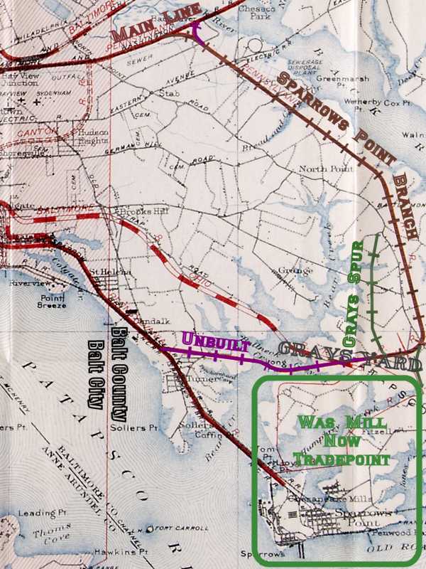
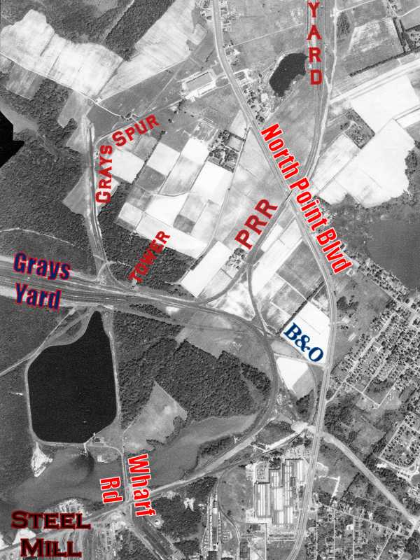
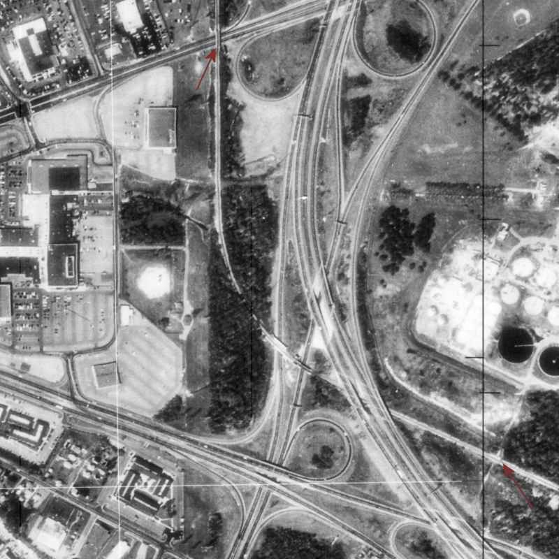
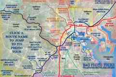
This map (black, red, and blue inks) claims to be from 1917, but in red depicts 1940s RRs. For subsequent discussion, I've highlighted certain of 
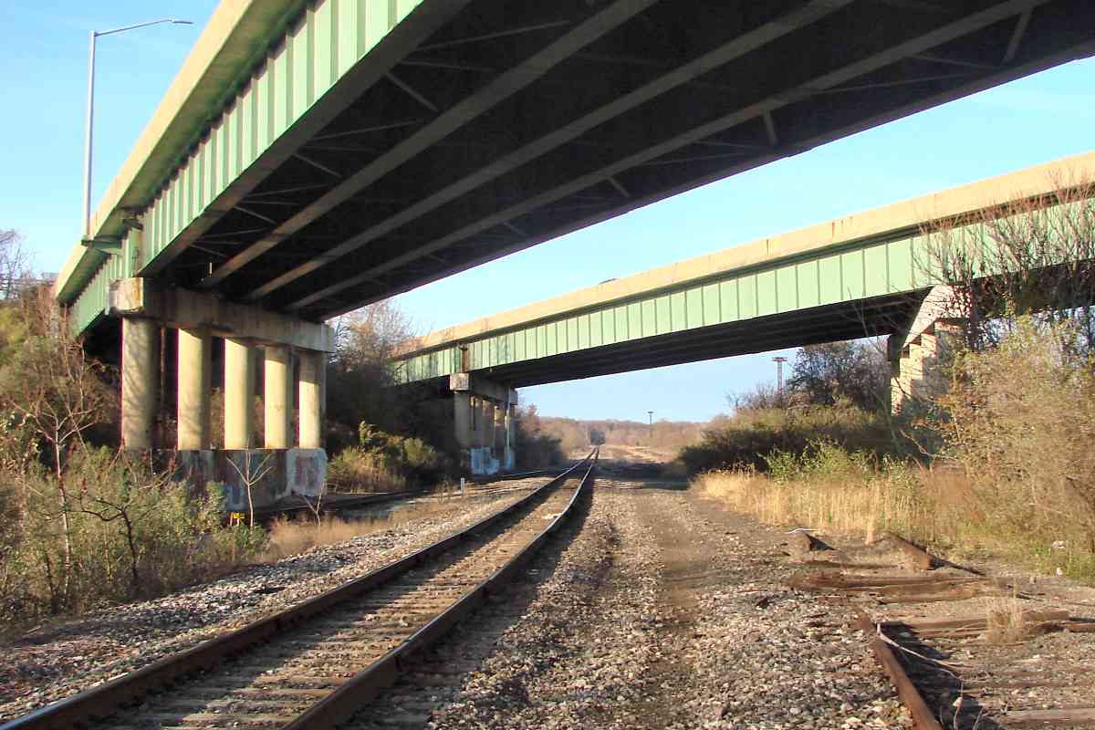
those RRs with crossgatched lines. The previous tour page concentrated on the mill area at lower right.

Oddly, this map depicts an unbuilt Pennsylvania Railroad (PRR) segment from Dundalk east to Grays Yard (red overlaid with crosshatched purple). I speculate the unbuilt route was proposed/surveyed prior to 1940, but remained unused until the Baltimore Beltway followed it decades later.

Also depicted but never built is an east leg of the wye between the branch and PRR main line at top. Only the leg leading to/from Bay View Yard at upper left was ever built.

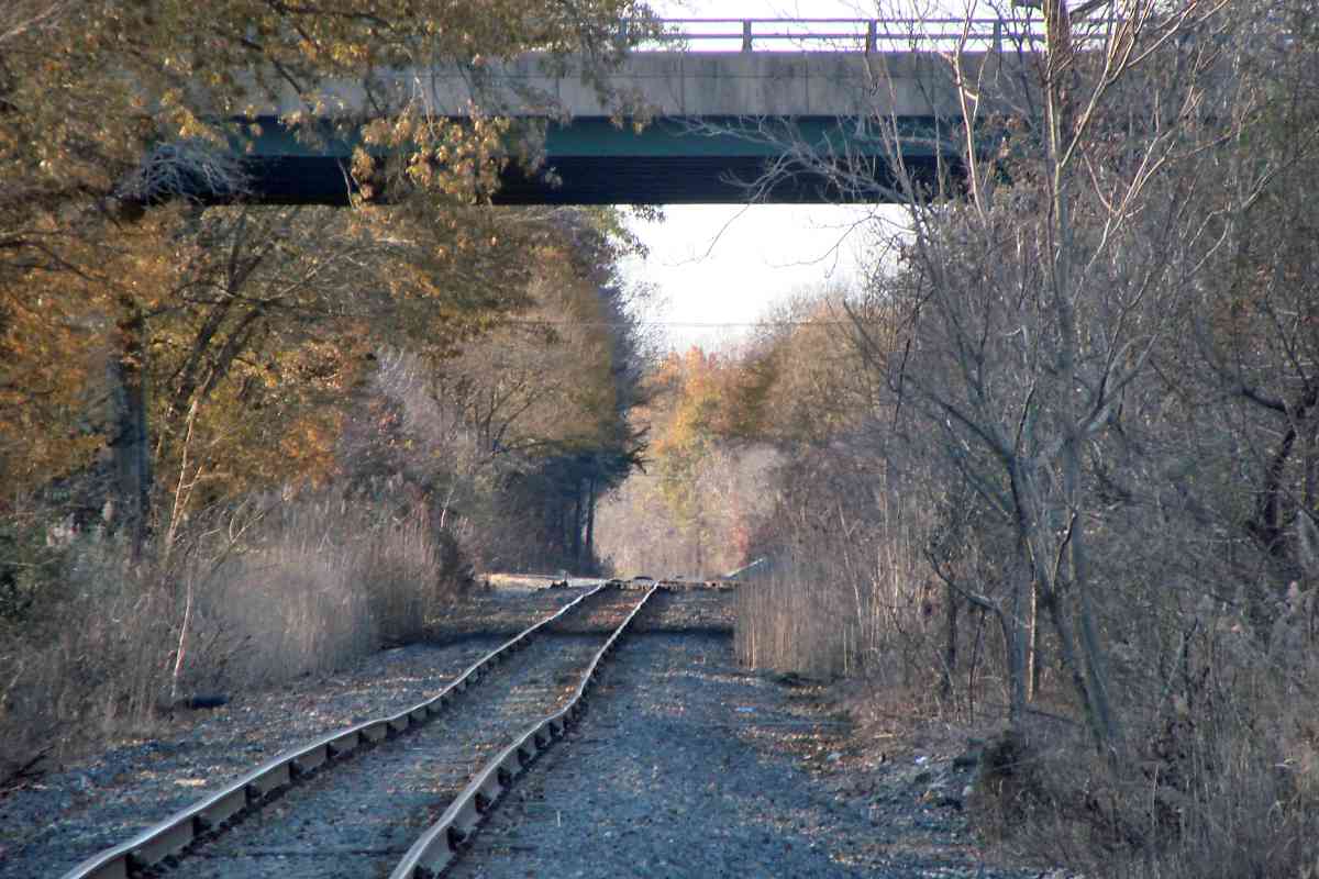
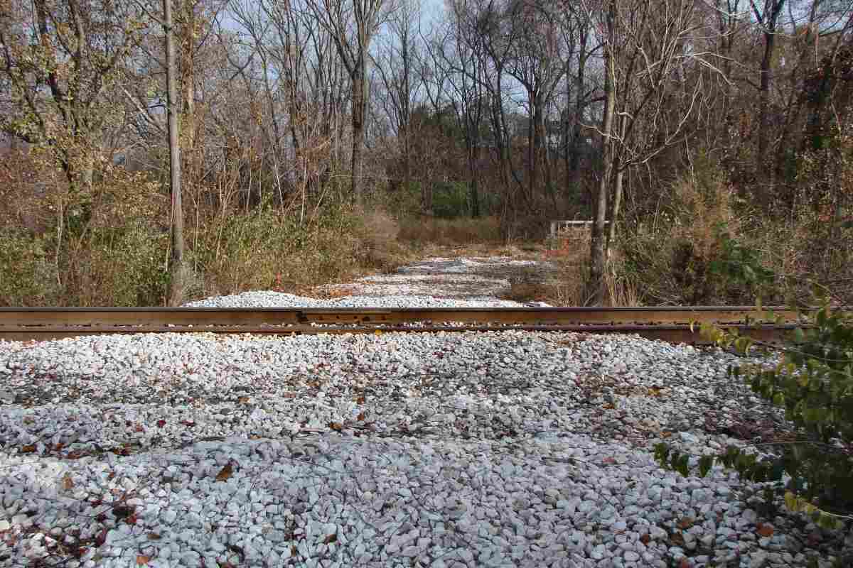
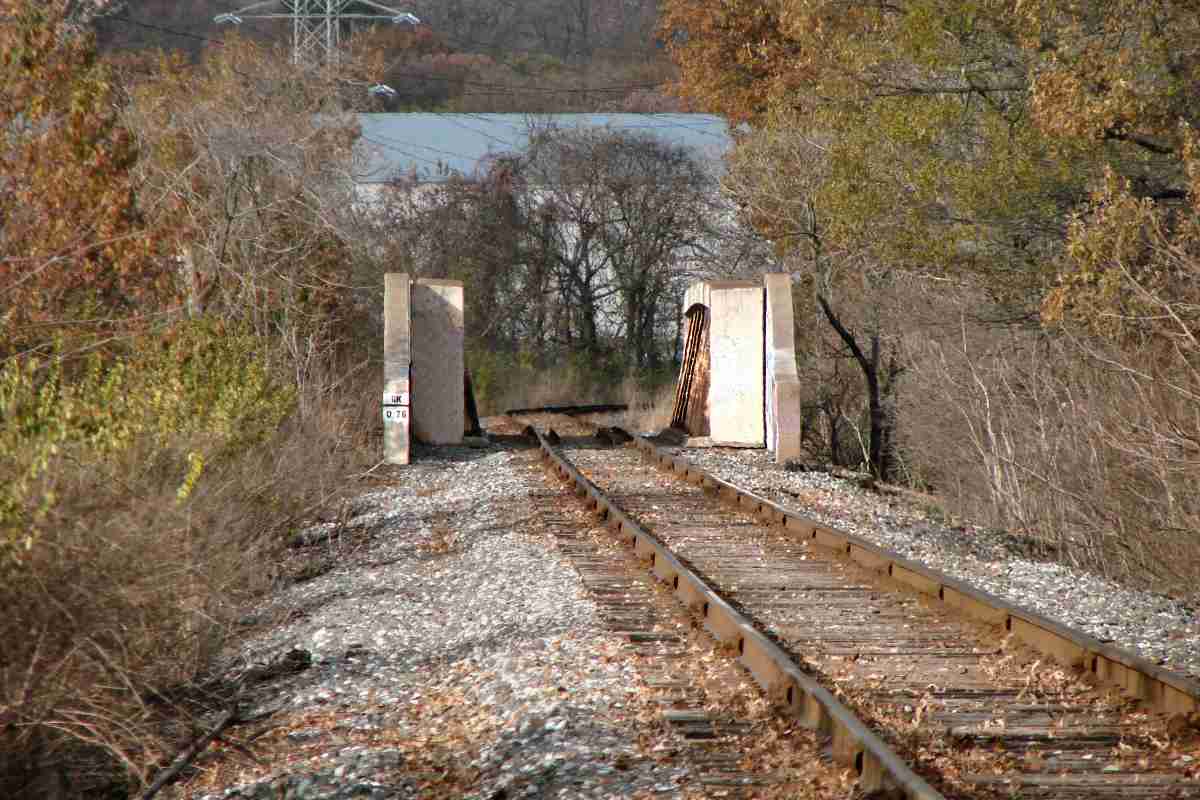
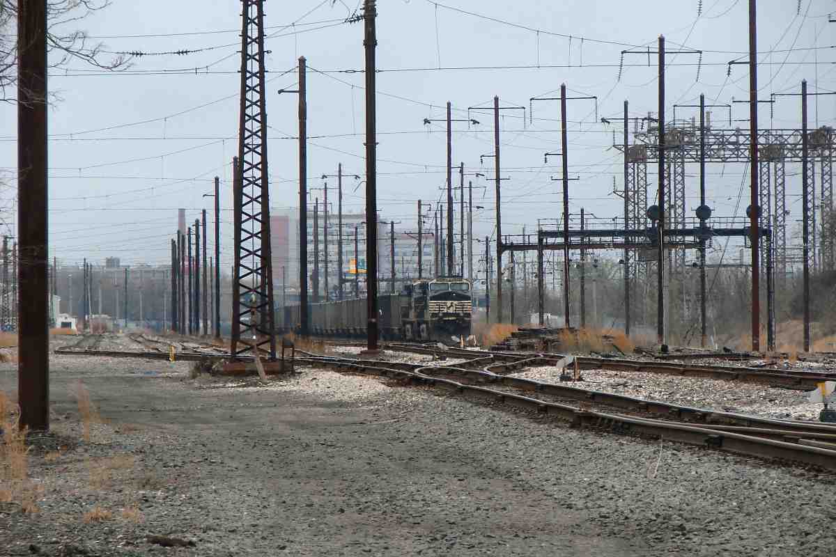
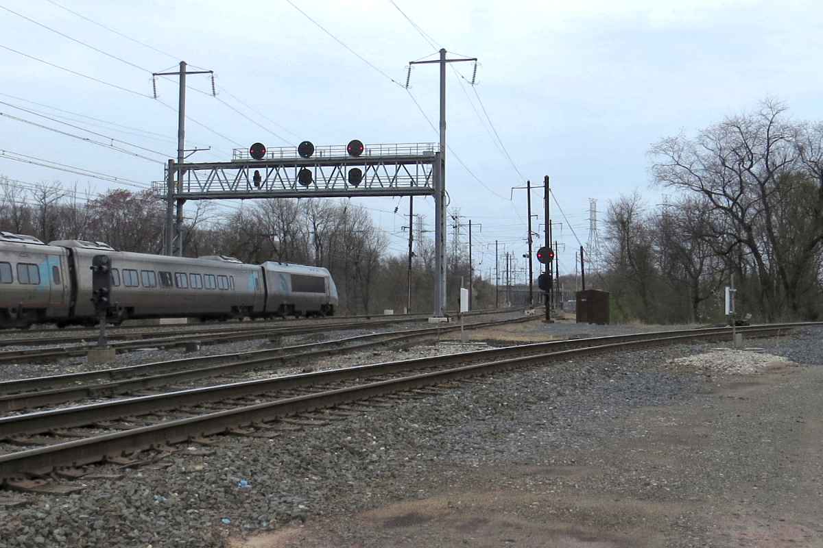
We'll follow the dark green hatched Gray's Spur line north from Grays Yard first, then the dark red hatched Sparrows Point Branch.


Grays Spur

Grays Spur
Mile: 6.4 Date: Jul 2022
Ease: B+ View: W
Area: B- T6:
Map: Ba 45 D 8 Topographic Maps

Grays Spur, likely a PRR invention, curled north (right from foreground) from the yard to serve industry along Grays Road. The southern part of the spur appears to still see a train now and then as of 2022.

Link: TPR 936 2021


Stop-Look-Listen

Stop-Look-Listen
Mile: 6.5 Date: Dec 2016
Ease: A View: W
Area: B- T6:
Map: Ba 45 D 8 Topographic Maps

This Stop-Look-Listen reminder along Grays Road is likely a holdover from the Western Maryland who featured the phrase on its earliest grade crossing signs.

Stop-Look-Listen was reinforced during the roaring 1920s when automobiles became more common, and then again after a Utah school bus accident during 1938 in which 25 students died.


Grays Road

Grays Road
Mile: 7.1 Date: Dec 2016
Ease: A View: N
Area: B T6:
Map: Ba 45 D 6 Topographic Maps

The northern reach of Grays Spur has not seen a train in many years, having been paved over for driveways. Rusty rails remain between the driveways.


Aerial 1952
Photo courtesy Johns Hopkins University

Aerial 1952
Mile: Date: Jul 1952
Ease: View: N (up)
Area: T6:
Map: Ba 45 E 8 (center) Topographic Maps

The little cube marked TOWER is a sparsely-documented PRR or Patapsco & Back Rivers tower (sources vary) that was still standing at photo time. I do not know when it was removed.


Left Exit

Left Exit
Mile: 6.3 Date: Dec 2016
Ease: B+ View: E
Area: B- T6:
Map: Ba 45 D 8 Topographic Maps

We're back at Grays Yard, near TOWER, ready to head north to the main line. That's I-695, the Baltimore Beltway, bridging in the distance. We'll not go under it, but rather follow the most distant of the left-exiting routes.


Amtrol Siding

Amtrol Siding
Mile: 6.0 Date: Jul 2022
Ease: N View: NE
Area: B T6:
Map: Ba 45 E 8 Topographic Maps

Here the line follows what a 1938 aerial photo shows as an old road. A few non-mill customers, such as Amtrol, are/were scattered along the route. The switch mechanism is dated 1971.


Portec Lubricator

Portec Lubricator
Mile: 6.0 Date: Jul 2022
Ease: B View: NW
Area: B T6:
Map: Ba 45 E 8 Topographic Maps

Most B&O/CSX lubricators are found on main lines; my sense is PRR installed more on branches. This Portec Rail and Flange Lubricator is labeled as machine number 1020732; perhaps the "73" represents 1973. This one is mechanically actuated via the tab adjacent the rail.


Wye

Wye
Mile: 5.9 Date: Jul 2022
Ease: B View: NE
Area: B T6:
Map: Ba 45 E 8 Topographic Maps

For some time, spine cars have been parked on the route that leads directly to the mill rather than to Grays Yard. Spine cars are often topped with trailers or intermodal containers.


National Trackwork

National Trackwork
Mile: 5.8 Date: Jul 2022
Ease: B View: SE
Area: B T6:
Map: Ba 45 E 8 Topographic Maps

The switch is a less-often-seen National Trackwork brand.


North Point Blvd Bridge

North Point Blvd Bridge
Mile: 5.7 Date: Jul 2022
Ease: B View: NE
Area: B T6:
Map: Ba 45 E 8 Topographic Maps

In a now-uncommon design, the rails are affixed directly to the bridge deck. There are no wooden ties. Perhaps as a result, the deck is deteriorating, with rusty holes open to the road below. Guard rails are in place in case of a derailment.


North Point Blvd

North Point Blvd
Mile: 5.7 Date: Jul 2022
Ease: A View: SE
Area: B T6:
Map: Ba 45 E 8 Topographic Maps

PRR herald Aerial photos suggest that during World War II the railroad crossed North Point Boulevard at grade on the near side of this bridge. Grade separation here waited until after the war (1948) when steel became more available for other purposes.

PRR's keystone is not rusting.


Under I-695

Under I-695
Mile: 5.5 Date: Nov 2018
Ease: B+ View: N
Area: B T6:
Map: Ba 45 F 7 Topographic Maps

Double track has been whittled down to single track under the Beltway.


Wise Avenue Yard

Wise Avenue Yard
Mile: 4.9 Date: Nov 2018
Ease: A- View: N
Area: B T6:
Map: Ba 45 F 6 Topographic Maps

PRR had kept a yard all to itself in the Beachwood area.


Unknown

Unknown
Mile: 4.9 Date: Nov 2018
Ease: A- View: E
Area: B T6:
Map: Ba 45 F 6 Topographic Maps

Contraptions of unknown purpose hang from wires near the yard. Are they meant to discourage squirrels or other animals from scurrying along the lines?


Beachwood Road

Beachwood Road
Mile: 4.0 Date: Nov 2018
Ease: A View: S
Area: B T6:
Map: Ba 45 D 2 Topographic Maps

The northern end of Wise Avenue Yard remains active for local industry.


Jointed

Jointed
Mile: 3.9 Date: Nov 2018
Ease: A View: NW
Area: B T6:
Map: Ba 45 D 2 Topographic Maps

Jointed rail is obvious where Cove Road passes overhead. I-695 traffic is close enough to be heard off photo left.


Aerial 1988
Photo courtesy Johns Hopkins University

Aerial 1988
Mile: Date: 1988
Ease: View: N (up)
Area: T6:
Map: Ba 36 H 12 (center) Topographic Maps

North of both Cove Road and North Point Boulevard, the branch (red arrows) and I-695 switch sides.

That's Eastpoint Mall at left. East (right) of it, the thin white stripe that crosses the branch almost perpendicularly is a sewer line.


Sewer Xing

Sewer Xing
Mile: 1.1 Date: Nov 2018
Ease: B+ View: E
Area: B- T6:
Map: Ba 36 H 12 Topographic Maps

The sewer line predates the railroad by decades.


Aerial 1953
Photo courtesy Johns Hopkins University

Aerial 1953
Mile: Date: Feb 1953
Ease: View: N (up)
Area: T6:
Map: Ba 36 H 11 (center) Topographic Maps

In this 1953 view from above, the ~ shaped sewer line imitates a railroad line, north of the large white tank that is casting a dark shadow. North of that, the branch meets Eastern Avenue, MD 150.

One can visually follow Eastern Avenue west (left) to Stab, Maryland to find an unusual cloverleaf with North Point Boulevard, MD 151. It was rushed to completion during World War II to facilitate access to Bethlehem Steel. To my knowledge, not only is this the oldest full cloverleaf interchange of Maryland State Roads, it is also one of very few with pedestrian crosswalks!

The lack of shadows near it suggests the branch had crossed Eastern Avenue at grade at photo time.


Eastern Avenue Bridge

Eastern Avenue Bridge
Mile: 1.0 Date: Nov 2018
Ease: B+ View: N
Area: B- T6:
Map: Ba 36 H 12 Topographic Maps

There certainly is a bridge over Eastern Avenue now. The stencil reads GK 0.76.


Eastern Avenue

Eastern Avenue
Mile: 0.9 Date: Nov 2022
Ease: A View: E
Area: B- T6:
Map: Ba 36 H 12 Topographic Maps

Eastern Avenue dips under the railroad. I found no dates on the structure to tell us when grade separation happened. There is also no PRR keystone.


Connection

Connection
Mile: 0.5 Date: Nov 2018
Ease: B+ View: SE
Area: B- T6:
Map: Ba 36 H 11 Topographic Maps

North of Eastern Avenue, the Canton Railroad (foreground) gets close to connecting with the branch near the red arrow. Aerial photos indicate this Canton RR trackage dates to around year 2000 but never actually connected.


Meet the Main
Photo courtesy Google

Meet the Main
Mile: Date: Apr 2022
Ease: View: N (up)
Area: T6:
Map: Ba 36 H 10 Topographic Maps

The branch curves in from lower right to meet the north/east end of Bay View Yard. A new signal gantry was installed at upper right during 2022 or 2023.


Arrival

Arrival
Mile: 0.2 Date: Mar 2023
Ease: B- View: W
Area: B- T6:
Map: Ba 36 H 10 Topographic Maps

Arrival at the main means poles, power lines, detectors, signals, and everything one would expect.


To Yard

To Yard
Mile: 0.1 Date: Mar 2023
Ease: B- View: W
Area: B- T6:
Map: Ba 36 H 10 Topographic Maps

Freight traffic to/from Sparrows Point uses the Norfolk Southern side of Bay View Yard (the left) where NS 9758 waits. The far side, under the signals at right, is where you'll find Amtrak.


Branch Start

Branch Start
Mile: 0.0 Date: Mar 2023
Ease: B- View: NE
Area: B- T6:
Map: Ba 36 H 10 Topographic Maps

AMTK 2007 rolls eastbound past a new gantry and eight new signal heads, while the branch to Sparrows Point on the right seeks its next train.

Links: Sparrows Point pictorial history, Sun's photo retrospective, Todd's Sparrows Point page


<< Previous (south) THIS PAGE: Grays Yard to Bay View | End of tour || main index

This tour ends here! You may enjoy continuing along the ex-PRR main line.

Or, for more tours here now, select from the map: clickable map

Or, return to main page

Copyright Notice