TrainWeb.org Facebook Page
B&O Washington Branch Photo Tour


B&O Washington Branch
Modern day photo tour

Accompanying each photo below are:

Click a photo to see a larger view. Please send your comments and corrections to Steve.


<< Previous (east) | THIS PAGE: Laurel | Next (west) >>

More Juice

More Juice
Mile: 20.0 Date: Oct 2003
Ease: B- View: S
Area: B+ IC2: 58?
Map: Ho 20 B 11 Topographic Maps

Another juice train powers through the relatively undeveloped area at mile 20 (20 miles from Baltimore). The cut here opened springs, hence the trackside stream.


Semaphore
Photo courtesy HH Harwood collection

Semaphore
Mile: 20.0 Date: 1931
Ease: C View: NE
Area: B+ IC2: 58
Map: Ho 20 B 11 Topographic Maps
marker

The Washington Branch's first electrically-powered signals were of the semaphore variety, such as this one labelled E194. I presume E is for eastbound, and 194 represents mile 19, adjacent to utility post 40. With 40 posts to the mile, this puts the location near mile 20, and indeed milestone 20 appears to stand in the foreground.

Across from the semaphore is its control box, or a drain. Whatever it was, CSX removed it, and others like it, during the early 2000s. A fence of some sort between the box and milestone appears to mark the boundary of neatly maintained ballast.

The hillside cut depicted here is the most significant of the Branch, and is now overgrown with trees.


CSX 5358

CSX 5358
Mile: 20.0 Date: Feb 2023
Ease: B- View: NE
Area: B+ IC2:
Map: Ho 20 B 11 Topographic Maps
Replicating the unobscured hillside view of the 1931 photo above is impossible even in winter now due to tree and brush growth. Even from a lower level the view is obstructed.


Semaphore base

Semaphore Base
Mile: 20.0 Date: Feb 2023
Ease: B- View: W
Area: B+ IC2:
Map: Ho 20 B 11 Topographic Maps
semaphore foundation The shape, size, and location suggest this platform served to anchor the semaphore signal of the 1931 photo. I have not seen another of these along any former B&O line.

The control box or drain across the tracks in the 1931 photo is no longer present. I believe it still had been extant during a 2003 visit but I neglected to photo it. Some time after 1931, milestone 20 was moved to a spot near this semaphore base.


Aerial 1938
Photo courtesy Johns Hopkins University

Aerial 1938
Mile: 20, 21 Date: 1938
Ease: View: N (up)
Area: IC2:
Map: Ho 20, AA 4 Topographic Maps

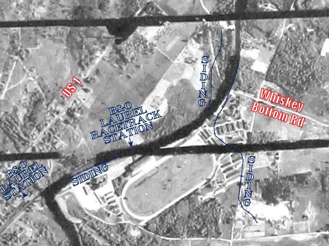
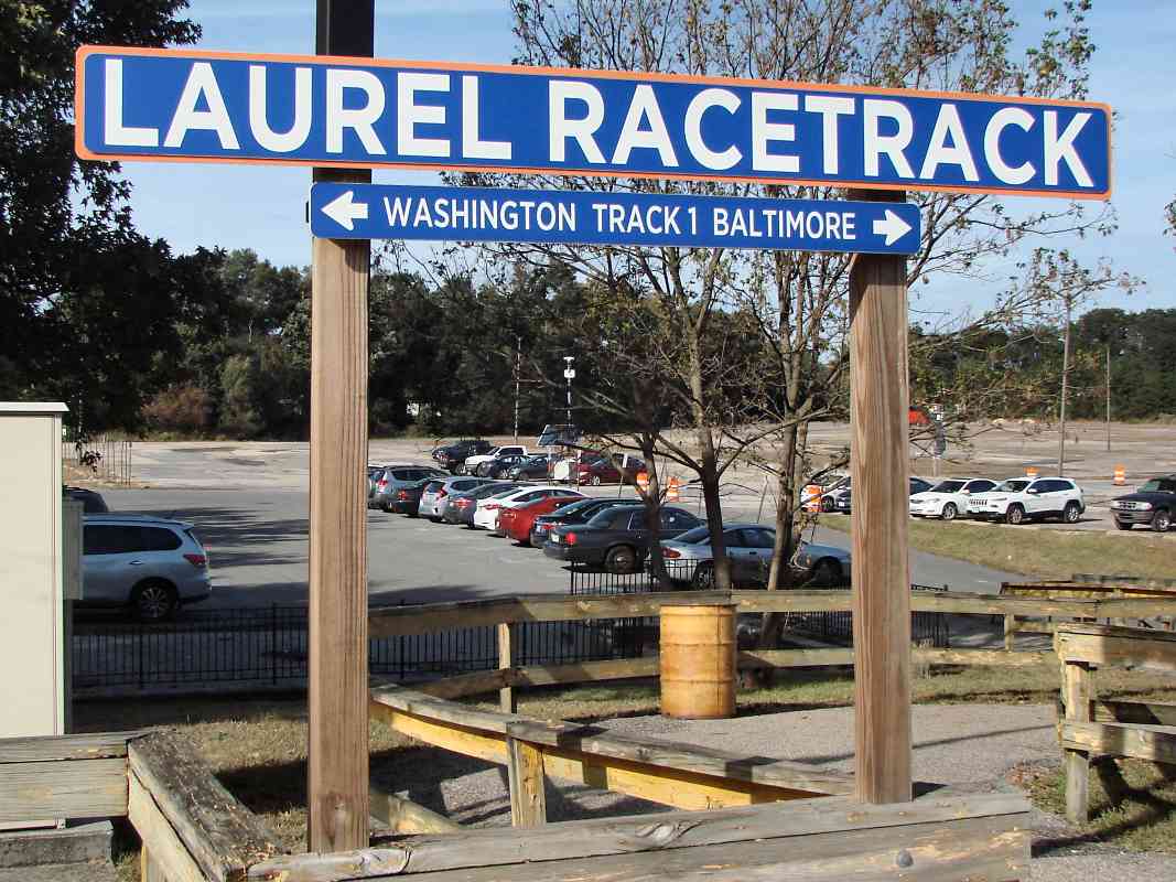
Next, we reach Laurel Park racetrack, as depicted by this low-resolution aerial dating to 1938. Ignore the thick black lines as they represent gaps between images, and county borders where, unfortunately for our purposes, the railroad runs.

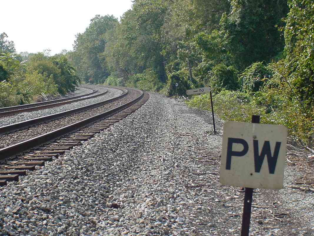
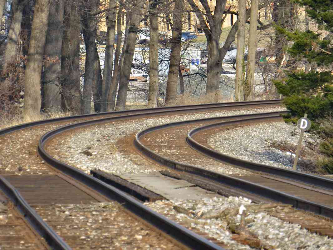
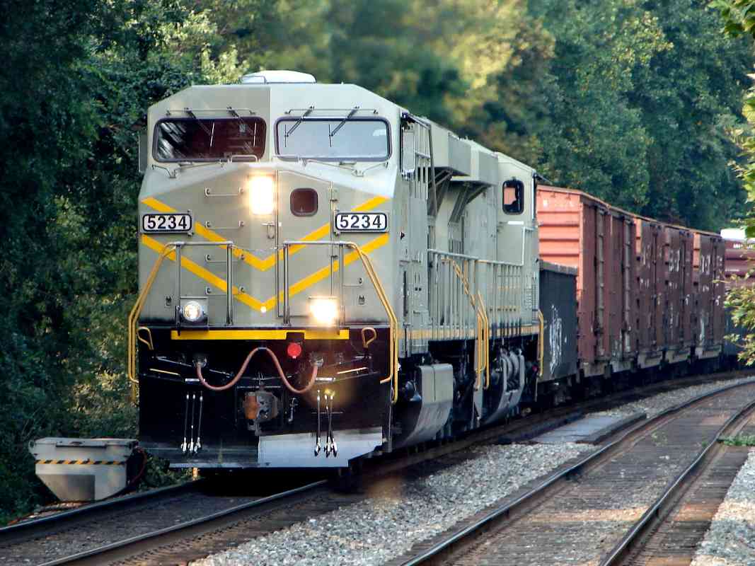
B&O had three short sidings in this vicinity. The longest one (the one that wandered to the south) may have served a quarry. Though it appears on topographic maps from 1905 to 1945, there is no evidence of it in this aerial. Site visits similarly turned up no surviving artifacts.

The shorter siding to the north is, however, visible on this 1938 aerial. It had crossed Whiskey Bottom Road to reach industry on the north side of that road. Evidence of the siding remains today in the form of grading.

The westernmost of the sidings ran parallel to the main line, and likely 
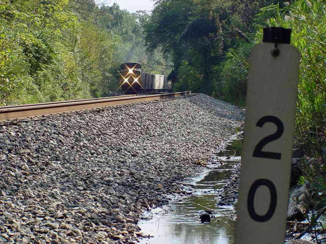
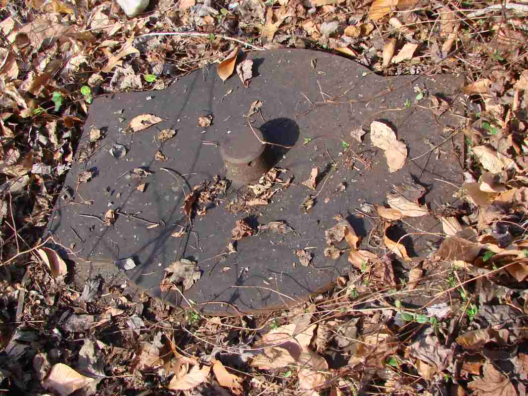
carried supplies to the track, perhaps horses as well. It survives as a flat graded area near milestone 21.

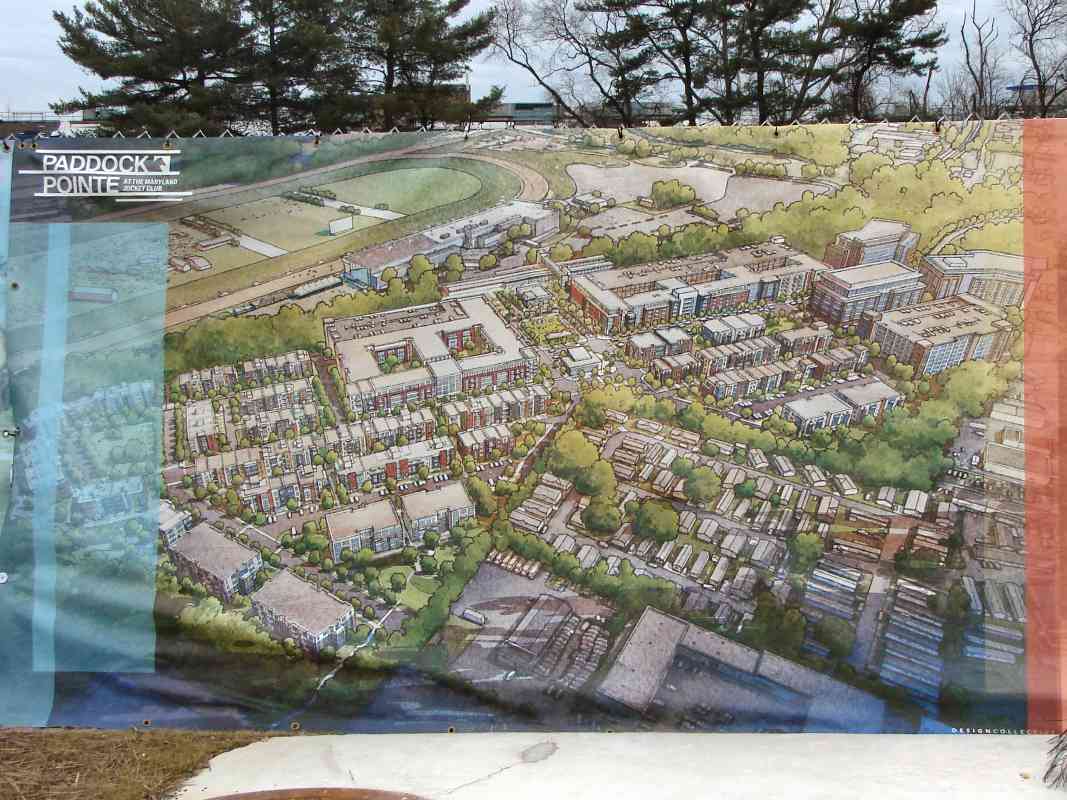
Sources put Laurel Speedway, a wooden race track for automobiles and bicycles, in the vicinity of the intersection of MD 198 and MD 197, a location at the lower left corner of this aerial. A Sun newspaper account reports B&O built a spur to serve it, but I can't pick it out on this aerial or any topo map. In any case, the Speedway was short lived.

Links: quarry 1907, 1925 pic, 1925, biker 1925, bike race 1925


Whiskey Bottom Road

Whiskey Bottom Road
Mile: 20.4 Date: Jun 2001
Ease: B View: NE
Area: B+ IC2:
Map: AA 4 K 12, Ho 20 B 12 Topographic Maps

This curve between Savage and Laurel is one of the most severe on the relatively straight Washington Branch. Per the aerial photo above, in this vicinity various B&O spurs/sidings climbed upward out of the cut out on both left and right.

Whiskey Bottom Road's bridge dates from 1990, and the concrete slabs in the foreground are evidence of a prior bridge. A B&O list from 1889 puts Mallory's Station here.

Reader Bill Hebb wrote to say:

    "In regards to the type of bridge at Whiskey Bottom Road over the Washington main, it was never a grade crossing. Prior to the current bridge, there was in the fifties and sixties a wood bottom bridge, improved around the early seventies with a macadam base and the wood made a tremendous racket when the horse vans crossed it.

    "I trained horses at Laurel Race track from the mid sixties to the early eighties and crossed that bridge every day. The picture you show seems like a tremendous improvement, it used to be a rough decline from the road down to the bridge, than across the bridge and then a 30% decline of about ten feet to get to the level the back stable gate / entrance of LRC."

Link: ~1960


Laurel Park

Laurel Park
Mile: 20.9 Date: Jun 2001
Ease: A View: N
Area: B+ IC2:
Map: AA 4 J 13, Ho 20 A 13 Topographic Maps

A statue of famous Maryland thoroughbred Billy Barton welcomes visitors to Laurel Park Racetrack. The disused stairs behind the horse's nose are relics of the racetrack's former life as host of the Laurel Four County Fair. They lead up to what had been long train platforms.


1953 Revision

1953 Revision
Mile: 20.9 Date: Oct 2018
Ease: A- View: W
Area: B+ IC2:
Map: Ho 20 A 13, AA 4 J 13 Topographic Maps

One concrete pedestrian underpass and stairway is stamped 1911, while this one reflects a revision during 1953. Aerial photos suggest that from about 1910 into the 1970s a total of four tracks existed here, the inner two (left in this view) for through trains, plus one outer track on each side for trains stopping at Laurel Park to discharge or pick up passengers. Though the outer track's location on the right was overgrown at photo time, it might be revived for MARC commuter trains as part of the redevelopment that began here during 2019.

Link: 1950s


Groundhog

Groundhog
Mile: 20.9 Date: Jun 2001
Ease: A- View: W
Area: B+ IC2:
Map: Ho 20 A 13, AA 4 J 13 Topographic Maps

Above the underpasses, MARC (commuter) trains stop at the racetrack's tiny station. The 1911 date on this staircase puts its origin at the time of the first horse race here. Not seen behind me is the disused staircase that dates to 1953.

Within the brightened box at bottom right you might be able to discern the face of a groundhog who calls this spot home. He dutifully watched me the entire time I was snapping photos.


Platform Lamp

Platform Lamp
Mile: 20.9 Date: Jun 2001
Ease: A- View: E
Area: B+ IC2:
Map: AA 4 J 13, Ho 20 A 13 Topographic Maps

Above the disused platform hangs a bishop's crook style lamp. I suspect this is still the original that was installed around 1910. It hangs over the dismantled outer track on the southeast side of the main tracks.


Laurel Racetrack

Laurel Racetrack
Mile: 20.9 Date: Oct 2003
Ease: B+ View: NE
Area: B+ IC2:
Map: AA 4 J 13, Ho 20 A 13 Topographic Maps

Despite being less than a half mile from the station in downtown Laurel, the tiny Laurel Racetrack Station still sees MARC train service largely thanks to the proximity of the racetrack. Yes, that wooden platform is the "station". Development on the west side of the tracks (left) may produce a new station here, perhaps one that takes over as Laurel's primary RR station. Presently, few commuters use this station since it is a MARC flag stop.

That 65 sign means 65 mph, one of the higher posted speed limits along CSX trackage in the region.

Links: 1914, ~1930


Overflow Parking

Overflow Parking
Mile: 20.9 Date: Oct 2018
Ease: A- View: N
Area: B+ IC2:
Map: Ho 20 A 13, AA 4 J 13 Topographic Maps

The area northwest of the station had never been built upon, instead it was held for fair purposes and overflow parking.

Link: ~1960


Paddock Pointe

Paddock Pointe
Mile: 21.0 Date: Jan 2021
Ease: A View: SE
Area: B+ IC2:
Map: Ho 20 A 13 Topographic Maps

That undeveloped expanse changed during the early 2020s, as Paddock Pointe began filling the area.

zoom Jan 2022 The development's initial name of Laurel Park Station was de-emphasized after PG county feared the intent was to move MARC rail service away from Laurel's historic B&O station. The artist's concept shown in the main photo includes what appear to be new covered platforms at the existing Laurel Racetrack station, as well as a pedestrian walkway over the tracks. A reasonable compromise might be a trackside walkway between the Pointe and historic Laurel Station; the two are only 2500 feet apart, in fact the development can be seen through trackside trees from Laurel Station's platform, as at left.

Link: development


CSX 339

CSX 339
Mile: 21.1 Date: Jan 2021
Ease: A View: N
Area: B+ IC2:
Map: AA 4 J 13, Ho 20 A 13 Topographic Maps

With Paddock Pointe under construction in the background, CSX 339 rolls west past B&O milestone 21 (lower left). The milestone is about 500 feet southwest of where it should be, perhaps displaced when an outer track for Laurel fairgrounds was added around 1910. (A distracting sign in the foreground has been edited out of this image.)

Link: 1965


PW 21 D

PW 21 D
Mile: 21.0 Date: Oct 2003
Ease: B View: SW
Area: B IC2:
Map: Ho 20 A 13, AA 4 H 13 Topographic Maps

PW advises a passenger station is ahead, and to sound the horn (whistle).

The 21 is a mile marker.

Reader Charlie Wingate said, of the D sign:

    "It is fallout from the MARC accident in Silver Spring, and tells push-pull trains to approach the next signal (assumed to be absolute) at medium speed."

Just past the bend is the downtown Laurel station.


Patuxent River

Patuxent River
Mile: 21.3 Date: Jul 1999
Ease: B+ View: SE
Area: B IC2:
Map: Ho 19 K 13, PG 4 J 3 Topographic Maps

Another bridge can be found spanning the Patuxent River (not to be confused with the Little Patuxent River) at Laurel. This bridge is a short distance west of the racetrack station and east of the downtown Laurel station.

1910 Dec 2022 Originally there was a single arch stone bridge here, but it was removed courtesy a flood in 1863. Probably one arch was not enough to handle the river, which is reasonably substantial at this point. The arch was replaced with a Bollman Bridge during 1864, followed in 1910 by the plain one you see here.

Not seen is the bicycle rider who came around a blind corner at high speed and nearly ran me down. The prior photo from this batch managed to include him in the image, and shows the surprised look on his face when he was just a few feet from barrelling into me. I knew railfanning could be dangerous, but not due to bicyclists!

Trivia: this spot is the southernmost point of Howard County.


Patuxent River

Patuxent River
Mile: 21.3 Date: Jul 2003
Ease: B+ View: NW
Area: B IC2:
Map: PG 4 J 3, Ho 19 K 13 Topographic Maps

This is the opposite view as a CSX freight speeds past on top, and a car bumps through the potholes on the old dirt road below. Many of these structures have been allowed to rust because to a certain extent rust prevents more rust. Since photo time the road has been paved.

A bridge known as the Race Track Bridge had spanned the river behind the photog prior to Agnes floods. It is visible at the lower-left corner of the linked aerial photo.

Links: 1955, ~1930


Main Street Bridge

Main Street Bridge
Mile: 21.3 Date: Jul 2003
Ease: A View: SE
Area: B+ IC2:
Map: PG 4 J 3, Ho 19 K 13 Topographic Maps

A volunteer sunflower would rather watch the evening's rail traffic than look at the sun here at the Main Street bridge. This is the only single lane underpass along the Washington Branch.

Steel beams like this did not exist when the line was built, so there might have been a stone arch here originally. I suspect the steel is contemporary with that of the other bridges nearby (circa 1910) and with trackwork to support the then-new Fairgrounds.


Laurel

Laurel
Mile: 21.3 Date: Apr 1999
Ease: A View: SE
Area: B+ IC2:
Map: PG 4 J 3, Ho 19 K 13 Topographic Maps

Laurel's Main Street is seen here passing underneath the Washington Branch. The traffic light controls access to the single-lane underpass. On the right at photo time, the last vestiges of a small freight yard/siding were being transformed into commuter parking.

Behind is Laurel Station, still an active commuter stop. The text on the marker reads:

    LAUREL RAILROAD DEPOT - Built by the Baltimore and Ohio Railroad in 1884, this "American Queen Anne" structure continues in daily use. The architect Francis H. Baldwin also designed the rear wing of the State House in Annapolis. This building was placed on the National Register of Historic Places in 1972.
The architect name should read E. Francis Baldwin.

Link: 1982


Laurel 1910
Photos courtesy Kilduffs

Laurel 1910
Mile: 21.3 Date: ~1910
Ease: A- View: SW
Area: B+ IC2:
Map: PG 4 J 3, Ho 19 K 13 Topographic Maps

Passenger trains have been stopping at Laurel since 1835. An 1878 Hopkins map places the prior B&O station building on the other (southeast) side of the tracks.

Link: source photo


Laurel 1978
Photos courtesy Library of Congress

Laurel 1978
Mile: 21.3 Date: ~1978
Ease: A- View: W
Area: B+ IC2:
Map: PG 4 J 3, Ho 19 K 13 Topographic Maps

SRS 143 At photo time, B&O was part of Chessie System, itself one step from CSX, and Maryland was supplying B&O with rolling stock.

The photo captures Sperry Rail Services unit 143 at Laurel. Such cars are used to inspect the rails. An older car sits at right on what had been a local freight siding. That siding was removed during the 1990s.

Links: LoC source photo. 1980s


Laurel Station

Laurel Station
Mile: 21.3 Date: Apr 1999
Ease: A View: S
Area: B+ IC2: 155
Map: PG 4 J 3, Ho 19 K 13 Topographic Maps

a color view of Baldwin's gem


Laurel Interior

Laurel Interior
Mile: 21.3 Date: Jan 2021
Ease: B+ View: W
Area: B+ IC2:
Map: PG 4 J 3, Ho 19 K 13 Topographic Maps

window The station's interior retains much of its original charm.

In this region, there is no older railroad station building that still fulfills its original purpose of serving train passengers. Camden Station in Baltimore is older, but the station building is no longer used by/for passengers.

Carefully placed windows at Laurel's platform let waiting passengers spy approaching trains so on cold days they can remain huddled inside until boarding time.

Links: ~1912, tickets 1887, 1926, 1983


MARC

MARC
Mile: 21.3 Date: Jul 2003
Ease: A View: NE
Area: B+ IC2: 312
Map: PG 4 J 3, Ho 19 K 13 Topographic Maps

Maryland Area Regional Commuters exit the last eastbound train of a midsummer's evening. Automobile parking took the place of a small rail yard during the 1990s.

Though competition from automobiles meant that by the 1970s B&O could no longer offer that passenger rail profitably, the state of Maryland stepped in, first with financial subsidies, and later by gradually taking on the job via what was named MARC (MAryland Rail Commuter, later Maryland Area Regional Commuuter).

Link: 1961


MARC 63

MARC 63
Mile: 21.3 Date: Jul 2003
Ease: A- View: NE
Area: B+ IC2: 321
Map: PG 4 J 3, Ho 19 K 13 Topographic Maps

CSX and MARC share the line: a view of the lead unit, MARC 63, as it pulls out of the station.

Though MARC-labelled equipment would arrive in 1981, CSX would continue to be involved in operations until 2013. As the region's population has grown, and new stations have been opened, MARC ridership has increased.


COVID Empty

COVID Empty
Mile: 21.3 Date: Jan 2021
Ease: A- View: W
Area: B+ IC2:
Map: PG 4 J 3, Ho 19 K 13 Topographic Maps

COVID not only temporarily chased commuters from the trains, but also from the roads. The latter meant less traffic, and thus even less reason to ride MARC. This weekday mid-afternoon photo finds Laurel's normally jammed commuter parking to be less than 5% full.


Late Summer

Late Summer
Mile: 21.3 Date: Sep 2000
Ease: A- View: NE
Area: B+ IC2:
Map: PG 4 J 3, Ho 19 K 13 Topographic Maps

under puffy clouds of a late summer day


Laurel at Night

Laurel at Night
Mile: 21.3 Date: Mar 2006
Ease: A- View: N
Area: B+ IC2:
Map: PG 4 J 3, Ho 19 K 13 Topographic Maps

during a mild spring night

Link: 1978


Carrier: B&O

Carrier: B&O
Mile: 21.3 Date: Jul 2003
Ease: View:
Area: IC2:
Map: Topographic Maps

Does Amtrak serve Laurel? No, old habits die hard.

This discarded Amtrak ticket stub was blowing around the Laurel station platform. It looks to be from an Amtrak passenger who connected via MARC from Washington, DC to Laurel (and paid $40 for the privilege, much higher than normal MARC rates).

But note who Amtrak lists as the carrier: BO. The last time B&O carried passengers along this route on its own was 1973! Since that time, the State of Maryland gradually assumed responsibilities, and later contracted them out. Uniformed B&O employees were replaced by those of MARC in 1984.


CSX 5233

CSX 5233
Mile: 21.3 Date: Sep 2005
Ease: A- View: SW
Area: B+ IC2:
Map: PG 4 J 3, Ho 19 K 13 Topographic Maps

CSX 5234 Laurel's platform was getting a makeover when CSX 5233 rolled past on its maiden voyage after delivery. CSX rushed this GEVO (GE Evolution) locomotive model ES44DC into service before painting over its primer gray. The photo of sibling 5234 (right) snapped seconds earlier has a clearer view since it looks away from the bright sky. These are the first known photos of the pair.


CSX 3432
NEW! late-Dec 2023

CSX 3432
Mile: 21.3 Date: Nov 2023
Ease: A- View: SW
Area: B+ IC2:
Map: PG 4 J 3, Ho 19 K 13 Topographic Maps

Laurel received new platforms again 18 years later. "Stand behind the yellow line" has new meaning since now every other slat has a yellow strip attached to it, as seen at lower left. I'm glad I don't have to shovel snow across all those strips. They are already buckling upward in places to become trip hazards. I hope they are removed before someone is injured.

Eastbound CSX 3432 was decelerating loaded autoracks into Jessup Auto Terminal. It was followed closely by units 5403 and 586.

Link: 1920


<< Previous (east) | THIS PAGE: Laurel | Next (west) >>

Or, return to main page

Copyright Notice