TrainWeb.org Facebook Page
B&O Washington Branch Photo Tour


B&O Washington Branch
Modern day photo tour

Accompanying each photo below are:

Click a photo to see a larger view. Please send your comments and corrections to Steve.


<< Previous (east) | THIS PAGE: College Park to Riverdale | Next (west) >>

Calvert Road
Photo credit Don Smith
B&O History Collection

Calvert Road
Mile: 31.1 Date: Feb 1988
Ease: B- View: SW
Area: B- IC2:
Map: PG 7 F 11 Topographic Maps

Automobiles are crossing at Calvert Road. That crossing would be permanently closed by the then-imminent construction of Metro's Green Line on the left. The track on the right was part of B&O's spur to the University of Maryland's power plant. A freight train derailed in this vicinity on May 10, 1952.


Low Plane

Low Plane
Mile: 31.3 Date: Aug 2019
Ease: A View: N
Area: B IC2:
Map: PG 7 F 12 Topographic Maps

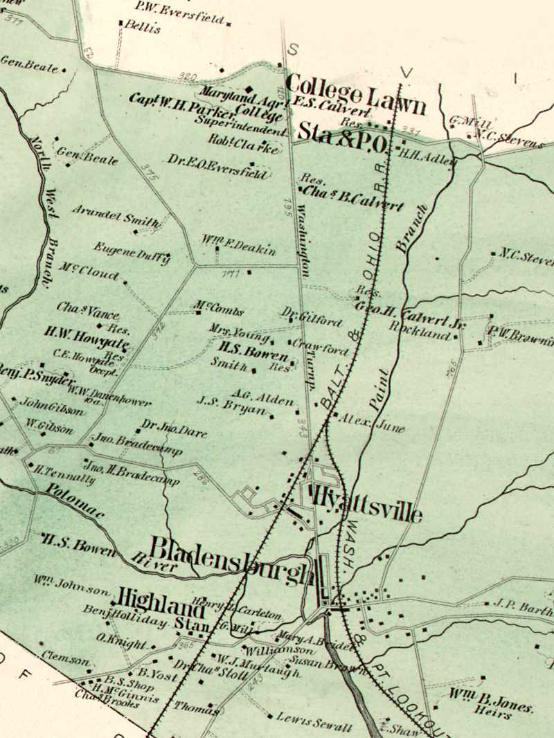
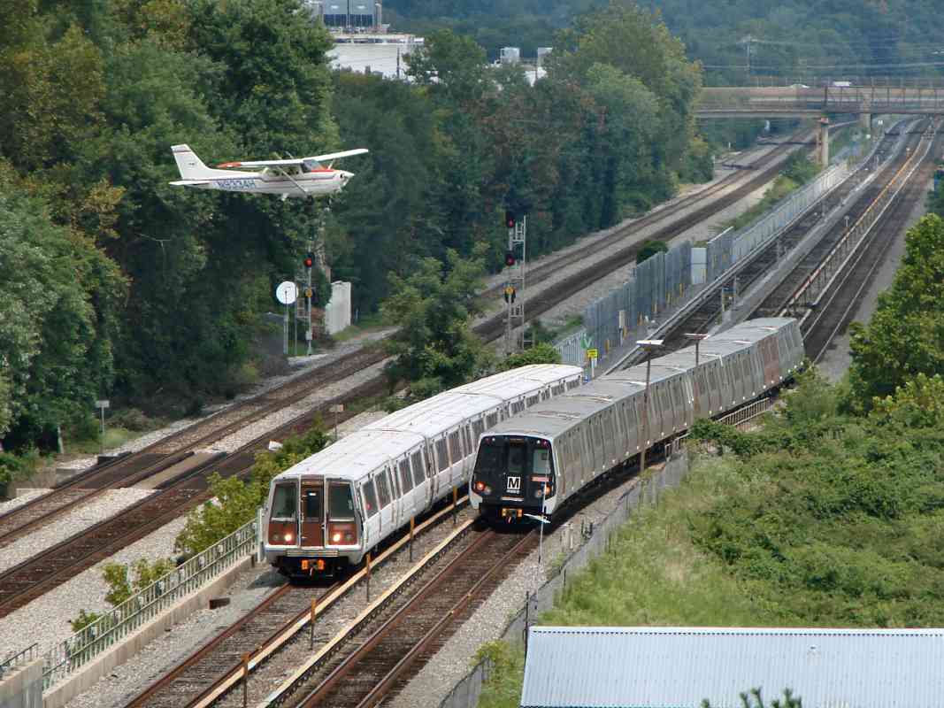
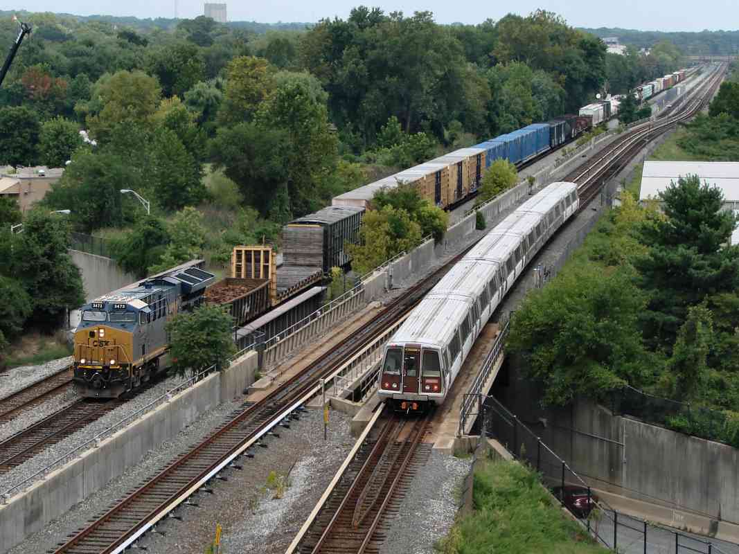
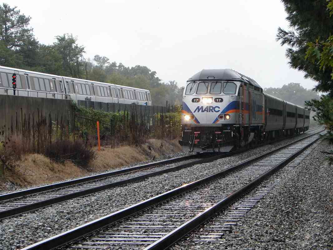
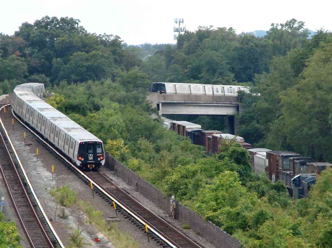
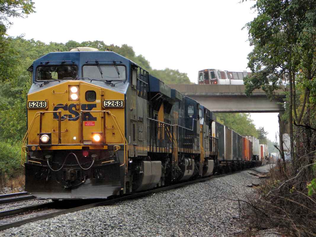
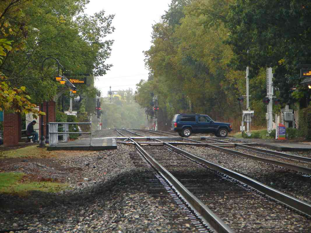
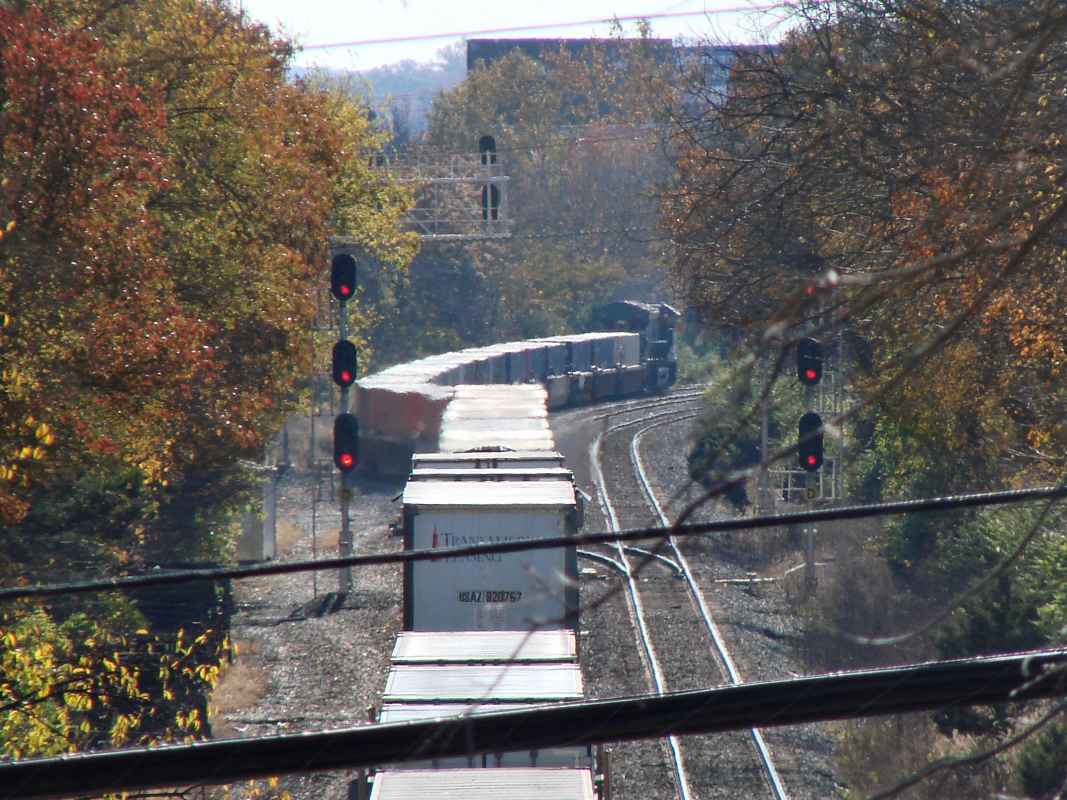
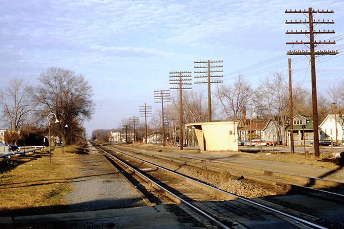
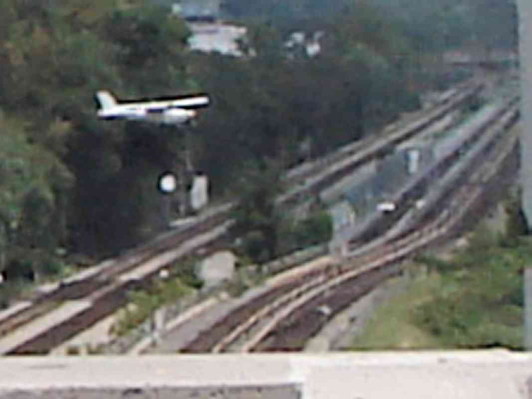
Since the College Park Airport runway (off photo right) is about 10 feet lower than the adjacent railroads, landing planes must glide in fairly low. Imagine the surprise of a train operator when out from the trees emerges actual 
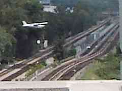
a plane barely above eye level. Double stacks reach almost as high as these CSX signals, so a slightly lower plane could strike such railcars -- or "knock down a signal" the hard way.

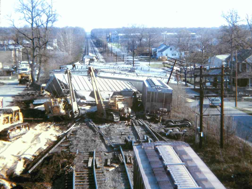
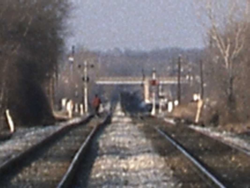
Note: to better illustrate the proximity of landing planes and trains, the main photo is a created composite of two, inspired by the actual, poor-quality, cropped photo at left shot moments before. These two photos may not depict the same plane.

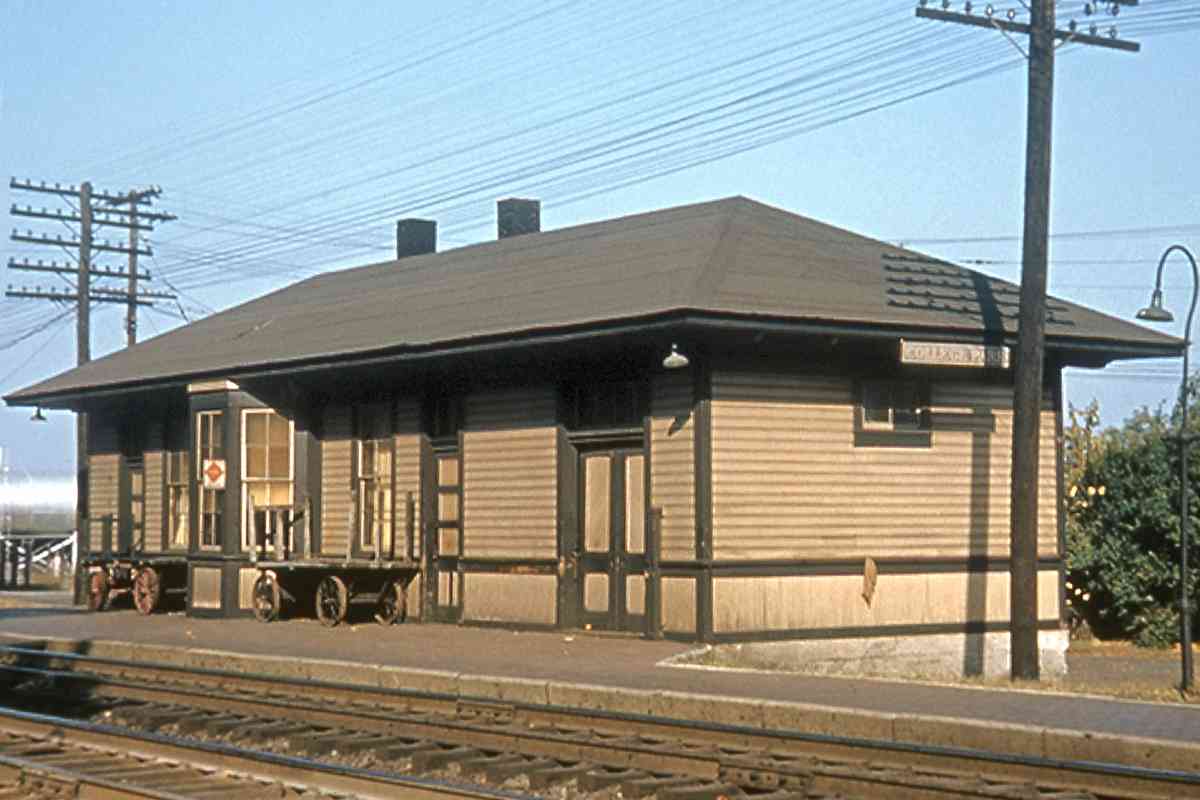
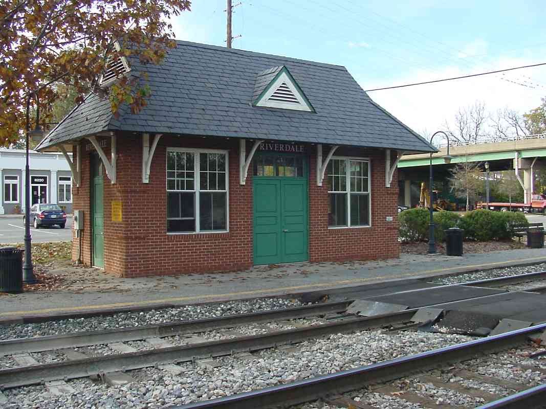
When the US Post Office Department during 1918 began air mail service between Washington and New York, they soon chose this airport because it was adjacent the railroad. Due to the lack of navigation references during that era, pilots followed the tracks. Unfortunately the very first pilot to try this followed the wrong tracks and ended up flying south to Waldorf, Maryland.

Links: ready for takeoff 1912, 1912


CSX 3473

CSX 3473
Mile: 31.3 Date: Aug 2019
Ease: A View: N
Area: B IC2:
Map: PG 7 F 12 Topographic Maps

rusty rotors This "brake rotor runner" (that's what the first car holds, as seen at right) is near a mile in length. Both it and this Metro train are passing over Paint Branch Parkway that was cut underneath during 1994. Shoo-fly track on the northwest side had carried CSX trains over the construction. The Green Line began operation here during 1993.


Incognito

Incognito
Mile: 31.4 Date: Aug 2019
Ease: A View: W
Area: B IC2:
Map: PG 7 F 12 Topographic Maps

A faster engine must have blown the doors off CSX 940. It looked like this from 2016 until showing up during June 2020 with "CSX" repainted by hand.

Engines operating such as this in the middle of a train, or at its end, are Distributed Power Units (DPUs). The operator is at the head end of the train, as usual, but powering and braking commands are transmitted via computer so that all engines of a DPU set work in tandem.

Links: more CSX 940, hand painted


MARC 7755

MARC 7755
Mile: 31.4 Date: Oct 2013
Ease: A View: NE
Area: B IC2:
Map: PG 7 F 13 Topographic Maps

MARC 7755 approaches as a control cab for the locomotive (in this case MARC 11) pushing from the other end. During the 2000s, MARC expanded its rail service to the University of Maryland via this stop in College Park. The welcome sign is a bit premature since passengers disembarking on this damp autumn afternoon have another mile-plus of travel to reach the campus. This was scheduled to become a Capital Bikeshare location during 2019.

A quarter-mile in the distance you can glimpse part of the bridge over Paint Branch Parkway; the road took over what since the 1950s had been the path of a B&O spur to the university's power plant on the east side of US 1. The spur had split off to the left near the far end of the train in this photo.

Links: spur photos, Capital Bikeshare


Stations

Stations
Mile: 31.4 Date: Oct 2013
Ease: A View: E
Area: B IC2:
Map: PG 7 F 13 Topographic Maps

The MARC "station" here, which consists of platforms with covered shacks, is adjacent to the College Park stop of Metro's Green line. A walkway connects the two. At first reaction, it seems odd for the two very similar modes of transport to place stops adjacent, but fast food restaurants have studied this issue and learned the best location for a new restaurant is near that of a competitor.

Calvert Road had crossed the tracks here at grade before Metro arrived. Greenbelt and College Park are the only two adjacent stations served by both Metro and MARC.


MARC 17

MARC 17
Mile: 31.4 Date: Oct 2013
Ease: A View: S
Area: B IC2:
Map: PG 7 F 13 Topographic Maps

Motive Power model MP36PH-3C locomotives began MARC service during 2009. They are more energy efficient than their predecessors. They even operate in the rain.

B&O's College Park Station had been here on the left. Platform remants survived until Metro's arrival.

Links: MARC roster, 1966, 1978, MPXpress locomotives


College Park Station
Photo credit Bob Crockett
B&O History Collection

College Park Station
Mile: 31.4 Date: 1950s
Ease: B- View: E
Area: B- IC2: 157
Map: PG 7 F 13 Topographic Maps

This is one of few known photos of B&O's College Park Station. An 1878 GM Hopkins map places College Lawn Station on the west side of the tracks.


Four Trains

Four Trains
Mile: 31.4 Date: Aug 2019
Ease: A View: S
Area: B IC2:
Map: PG 7 F 13 Topographic Maps

One photo, four tracks, and four moving trains, a personal best.


CSX 5268

CSX 5268
Mile: 31.9 Date: Oct 2013
Ease: B View: N
Area: B IC2:
Map: PG 12 E 1 Topographic Maps

Metro's Green line rises over the freight tracks before disappearing into a hillside tunnel (unseen at left) and progressing west under University Park.

All Metro cars had the same basic appearance as the original models from the 1970s when the system opened. That changed upon the arrival of the "7000 series" cars in 2016.

Link: "7000 series" pictures


MARC 14

MARC 14
Mile: 32.0 Date: Jun 2019
Ease: B+ View: S
Area: B IC2:
Map: PG 12 E 1 Topographic Maps

With mileposts 32 at each side, MARC 14 rolls under the Lafayette Avenue extension, the Cap Sub's newest overpass.


CSX 5296

CSX 5296
Mile: 32.2 Date: Oct 2013
Ease: B View: S
Area: B IC2:
Map: PG 12 E 2 Topographic Maps

About 28 minutes later, this GEVO cousin numbered 28 higher than the one above, came off the Alexandria Branch to lead mixed freight toward Baltimore. CSX 8705 and CSX 8851 follow. East West Highway has bridged behind since 1966.


Wreck
Photo courtesy Marty Hager

Wreck
Mile: 32.3 Date: Mar 1973
Ease: A View: NE
Area: B IC2:
Map: PG 12 E 2 Topographic Maps

Marty Hager kindly contributed these two photos of a wreck and cleanup near Riverdale. Of this photo, Marty writes:

    I'm pretty certain it was winter of '72-73. It is looking north from the Rt 410 overpass. This was a string of covered hoppers carrying corn heading for Baltimore. I remember that as the corn began to rot the entire area smelled like the inside of a port-a-potty for a while. It was around that time that a succession of accidents happened around the Riverdale-Hyattsville area.
A news report says this wreck happened March 22, 1973.

Links: 1964, 1973, 1973, 1973, 1973


More Trees
NEW! early-Sep 2023

More Trees
Mile: 32.3 Date: Nov 2021
Ease: A View: NE
Area: B IC2:
Map: PG 12 E 2 Topographic Maps

A visit to the wreck site almost 50 years later finds more railcars on the tracks and more trees.


B&O 3762
Photo courtesy Marty Hager

B&O 3762
Mile: 32.3 Date: 1973
Ease: A View: NE
Area: B IC2:
Map: PG 12 E 2 Topographic Maps

Of this scene with B&O 3762 Marty Hager writes:

    This shot is not very interesting but it shows the scene of the wreck after repairs were completed. One artifact in the shot is the siding on the east side of the tracks. As much time as I spent hanging around Riverdale I don't remember that siding being there. It's gone now.

A B&O 1910 station list indicates Riverdale had pens for live animals, and a company siding with room for seven railcars.

Links: more of B&O 3762, still in use during 2018 as UP 1500


CSX 3433
NEW! early-Sep 2023

CSX 3433
Mile: 32.3 Date: Nov 2021
Ease: A View: NE
Area: B IC2:
Map: PG 12 E 2 Topographic Maps

Much the same view about 50 years later finds a westbound riding Track 2 so it can access the Alexandria Branch. The switch from Track 1 to 2 usually happens immediately west of Jessup Station.

Link: trimming brush 2010


RDC
Photo courtesy B&O History Collection

RDC
Mile: 32.3 Date: Jul 1968
Ease: A View: S
Area: B IC2:
Map: PG 12 E 2 Topographic Maps

At photo time, a siding extended down to Queensbury Road where boxcars are being passed by a B&O Budd Rail Diesel Car (RDC). The RDCs were self propelled and ideal for carrying small groups of commuters. The RDCs gave way to MARC which, during non-covid times, hauls multiple-cars-worth of commuters.

Link: RDC interior


Waiting

Waiting
Mile: 32.2 Date: Oct 2013
Ease: B View: S
Area: B IC2:
Map: PG 12 E 2 Topographic Maps

Deep zoom shows a passenger at Riverdale awaiting the next MARC train. Farther away, some of the Cap Subdivision's last CPL signals still in operation await the retirement that will come upon activation of their successors standing adjacent.

Link: 1966


Riverdale

Riverdale
Mile: 32.4 Date: Nov 2003
Ease: A- View: S
Area: B+ IC2:
Map: PG 12 E 2 Topographic Maps

Riverdale makes for a surprisingly pleasant and scenic stop on any tour of area railroads. This view looks south toward Queensbury Road, the last grade crossing encountered on the way to Washington. That may partially explain why a higher-than-normal number of drivers at this crossing make the mistake of turning onto the tracks and getting their car damaged or stuck.


Riverdale Station

Riverdale Station
Mile: 32.4 Date: Nov 2003
Ease: A View: NW
Area: B+ IC2: 157
Map: PG 12 E 2 Topographic Maps

Riverdale's MARC station has recently been rebuilt on the site of B&O's original station. Inside are volunteer-maintained small displays of railroad history. The short row of shops seen behind give the area a quaint, small town feel. On the right, the overpass is that of East-West Highway, Route 410.

Reader David Hiles shared some history:

    According to town legend, the Calvert family allowed the railroad to run through their plantation in Riverdale under the condition that the railroad will always offer passenger service somewhere on the original grounds. If passenger service was discontinued to Riverdale, then the railroad would forfeit the right of way back to the Calverts. Maybe that is why we still have the closest MARC station to DC.

Link: 1964


Trolley

Trolley
Mile: 32.4 Date: Nov 2003
Ease: A View: S
Area: B+ IC2:
Map: PG 12 E 2 Topographic Maps

At Riverdale, B&O and the Rhode Island Avenue trolley were separated by the width of the building seen here, at which trolley tickets were sold. The railroad is on the left, while the trolley line survives only in the form of the series of utility poles stretching into the distance on the right. The trolley operated into the 1950s after which for a time the building was home to Griff's famous subs and house of pizza.

Marty Hager reports the building was demolished during January 2025 after a wayward Metro bus struck it and severely damaged it.

Link: 1964


<< Previous (east) | THIS PAGE: College Park to Riverdale | Next (west) >>

Or, return to main page

Copyright Notice