TrainWeb.org Facebook Page
B&O Washington Branch Photo Tour


B&O Washington Branch
Modern day photo tour

Accompanying each photo below are:

Click a photo to see a larger view. Please send your comments and corrections to Steve.


<< Previous (east) | THIS PAGE: Greenbelt to Berwyn | Next (west) >>

Metro Yard

Metro Yard
Mile: 28.1 Date: Feb 2000
Ease: B+ View: SE
Area: B IC2:
Map: PG 7 J 5 Topographic Maps

Asset Retired Just south of Sunnyside Avenue are indications we're getting closer to Washington. In the background, you can see the Greenbelt Yard and Inspection Shop of DC's Metro system. The track immediately on the other side of the fence was Metro's only connection with the CSX Cap Sub. Prior to Metro, a grade crossing had existed ahead.

A 2018 visit (photo left) found the link disconnected, and its utility box labeled for removal. Hopefully CSX does not spray paint its retiring employees.


RDC
Photo courtesy B&O History Collection
NEW! late-Nov 2025

RDC
Mile: 28.6 Date: Sep 1958
Ease: A View: N
Area: B IC2:
Map: PG 7 J 6 Topographic Maps

A photographer captured this B&O Rail Diesel Car headed to Washington. Bridges are usually the first structures built for a new road. By 1958, sections of the Capital Beltway were under construction, so this might have been snapped from one of its earliest bridge piers. This section did not open to automobiles until 1964.


From Beltway
NEW! late-Nov 2025

From Beltway
Mile: 28.6 Date: Oct 2025
Ease: A View: NE
Area: B IC2:
Map: PG 7 J 6 Topographic Maps

A similar, more recent view is obstructed by fences.

The Beltway's bridge over the B&O line was made long enough to permit additional tracks underneath, such as Metro's Green Line. WMATA (Washington Metro) would put its Greenbelt Yard on the right during the 1990s.

Change for: Metro Green Line photos at this site


Greenbelt Shop

Greenbelt Shop
Mile: 28.6 Date: Apr 2004
Ease: A View: N
Area: B IC2:
Map: PG 7 J 6 Topographic Maps

Metro's Greenbelt facility can be seen from the outer loop of the I-495 Capital Beltway. Subsequent to photo time, trees have grown that obscure the view.

Greenbelt is a terminus of Metro's Green Line, for the moment at least. Long-term planners have proposed extending the line northeast to Fort Meade, or even BWI Marshall Airport some 20 miles distant. Such an extension would likely parallel the B&O line at least to Laurel. A challenging area would be Muirkirk due to trackside development.


Pre-Metro
Photo courtesy B&O History Collection
NEW! late-Nov 2025

Pre-Metro
Mile: 28.6 Date: 1987
Ease: B View: SW
Area: B IC2:
Map: PG 7 J 6 Topographic Maps

Metro's Greenbelt Station would soon take the place of a corn field on the left. MARC would put a station here as well.


Greenbelt Stations

Greenbelt Stations
Mile: 29.0 Date: Dec 2003
Ease: A View: SE
Area: B IC2:
Map: PG 7 H 6 Topographic Maps

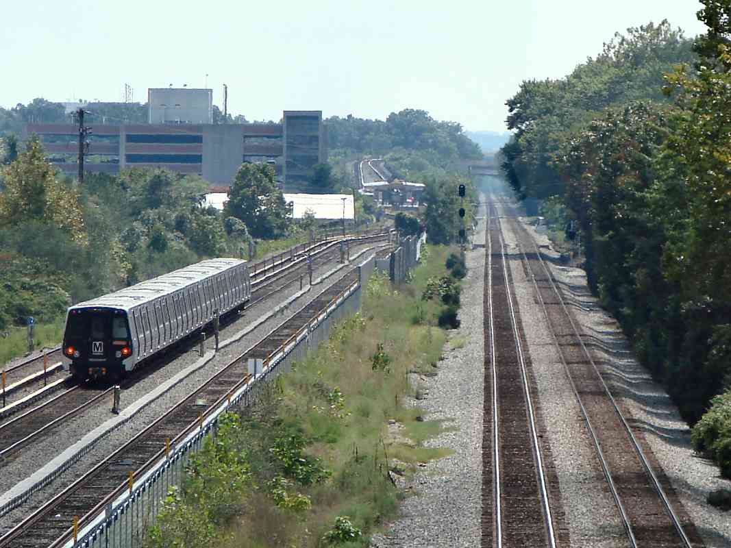
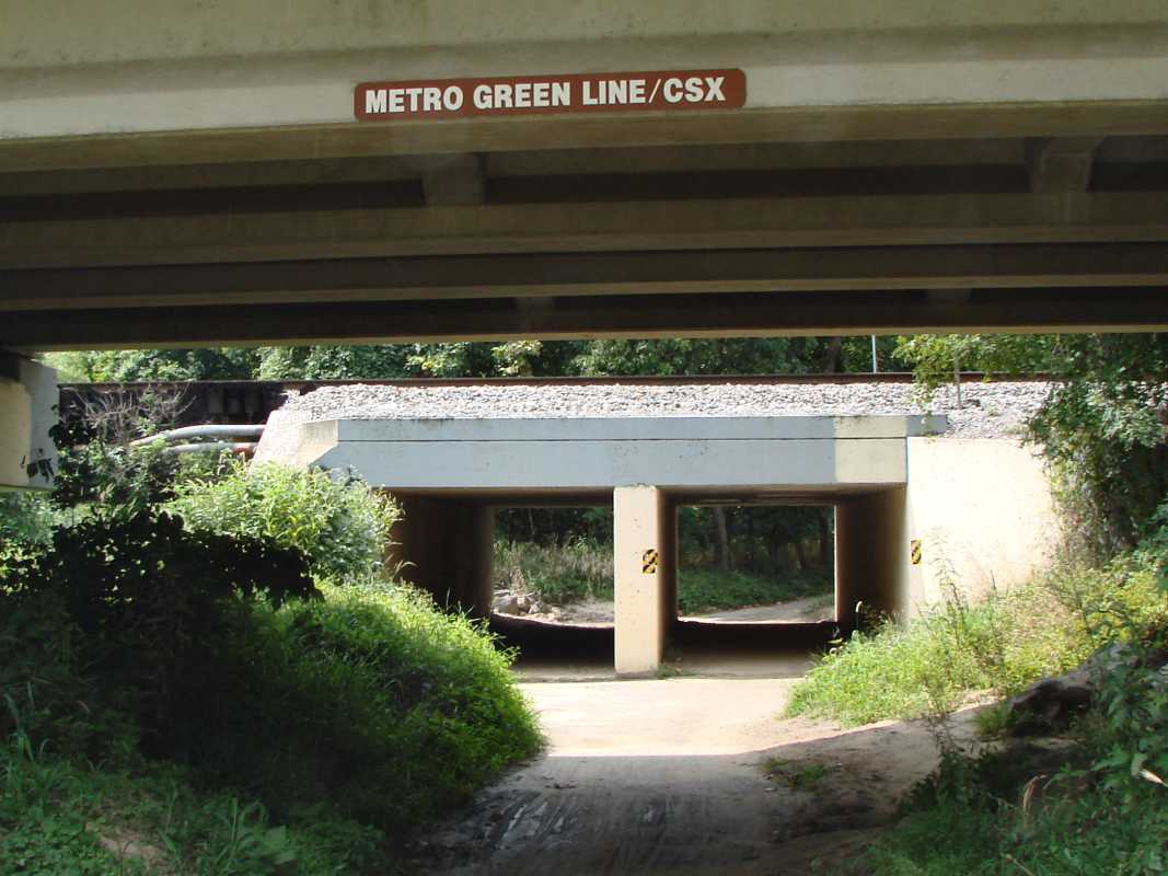
At Greenbelt, the trains compete not only with the cars of DC area commuters but also with each other. Still, that doesn't mean the signage is easy to understand.

The brown sign is DC Metro standard, but in this case it describes "Commuter Rail" which locals call the "MARC train". It also lists East Bound and West Bound, which infrequent riders are unlikely to understand, not to mention the preferred spelling is Eastbound and Westbound. Omitted is a sign to direct people to Metro's Green Line.

The blue sign is more understandable: it mentions MARC and indicates which way to walk to reach the platform to Washington, DC. It does not, however, indicate how one can reach the platform for Baltimore-bound MARC trains.

Of course, regular commuters know their way and don't need signage. The only audience for these signs are newbies and infrequent riders, the very group that needs clear directions.


Platforms

Platforms
Mile: 29.0 Date: Dec 2003
Ease: A- View: NE
Area: B IC2:
Map: PG 7 H 7 Topographic Maps

The north (east) end of the MARC platform is right at mile marker 29. There's no B&O stone milepost to be found here; it was likely removed as part of the station construction. Underneath, a B&O culvert was rebuilt with modern concrete and piping.

We can look across to the adjacent Metro station where a Green Line train is just pulling in. Since this is the terminal, the train will sit with doors open until the next train arrives. Metro's Greenbelt station opened during 1991.

In the distance toward the left you'll find CPL signals, still present during 2018 and evidence of this right of way's B&O heritage. CSX now shares the line with MARC commuter trains. Notice how an extra set of tracks peel off the center main line order to serve the station, and get MARC trains out of the way of passing freights.


MARC Station

MARC Station
Mile: 29.1 Date: Dec 2003
Ease: A- View: NE
Area: B IC2:
Map: PG 7 H 7 Topographic Maps

Here is much the same view as the prior photo, but from the south (west) end of the MARC platform. The Metro train is in the distance at center left.


CSX 5314

CSX 5314
Mile: 29.1 Date: Aug 2018
Ease: A- View: NE
Area: B IC2:
Map: PG 7 H 7 Topographic Maps

CSX 5314, 955, and 5230 lead empty Tropicana reefers (refrigerated boxcars) back to Florida. In prior years, CSX ran exclusive Juice Trains, known as unit trains, but, seeking greater efficiency, it has opted to include other cars with those of Tropicana.

On the right, Metro will lead passengers back to Florida Avenue in DC where a different kind of reefer was made legal during 2015.


Survivors

Survivors
Mile: 29.1 Date: Aug 2018
Ease: A- View: S
Area: B IC2:
Map: PG 7 H 7 Topographic Maps

dwarf CPL These CPLs at Greenbelt may have been the last survivors of their kind along the Cap Sub, perhaps earning a temporary reprieve from removal by being next to a MARC stop with platform sidings. That unusual track arrangement may require MARC to approve any signal change.

Dwarf CPLs have a special charm that will be missed. The "D" does not stand for "dwarf" but rather reminds passenger train operators to not exceed 40 mph and to be prepared to stop at the next signal.


Last
NEW! late-Nov 2025

Last
Mile: 29.3 Date: Aug 2019
Ease: B View: N
Area: B IC2:
Map: PG 7 H 7 Topographic Maps

missing visor 
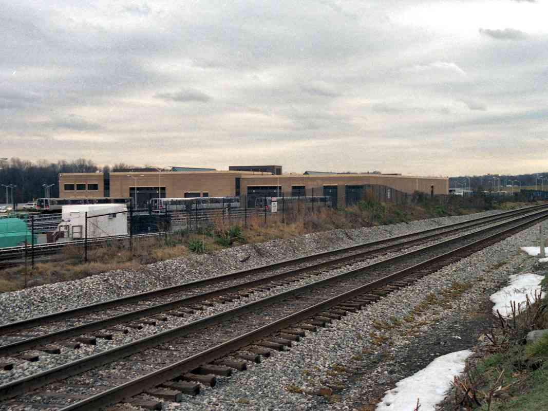
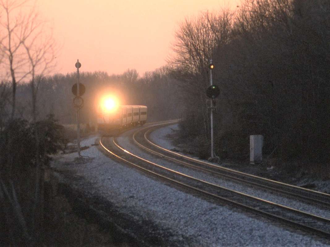
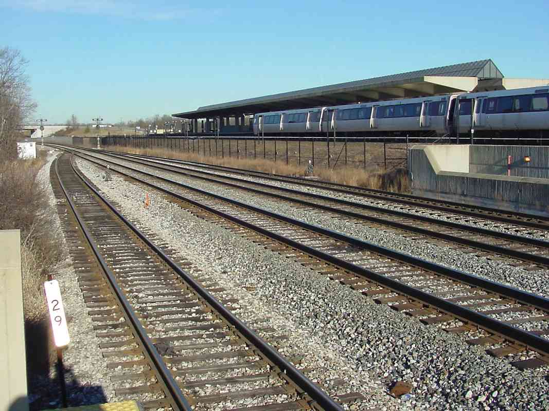
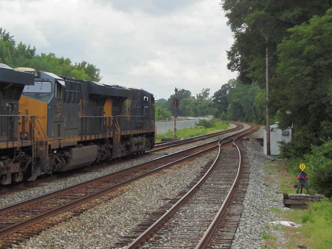
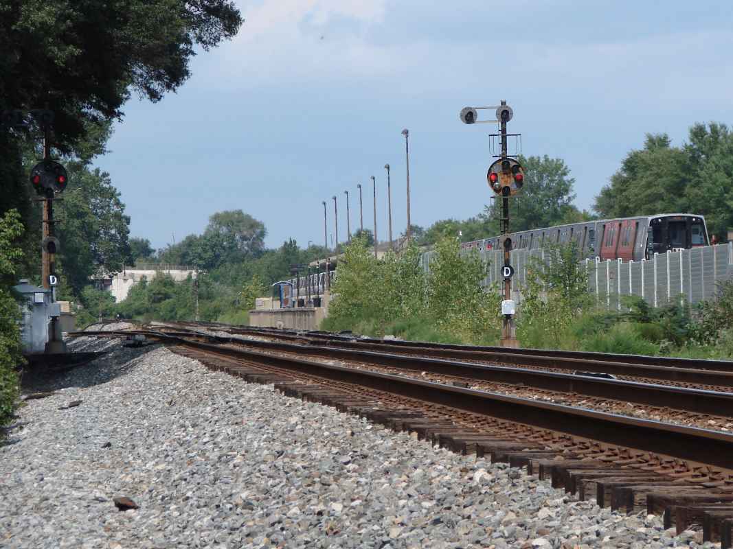
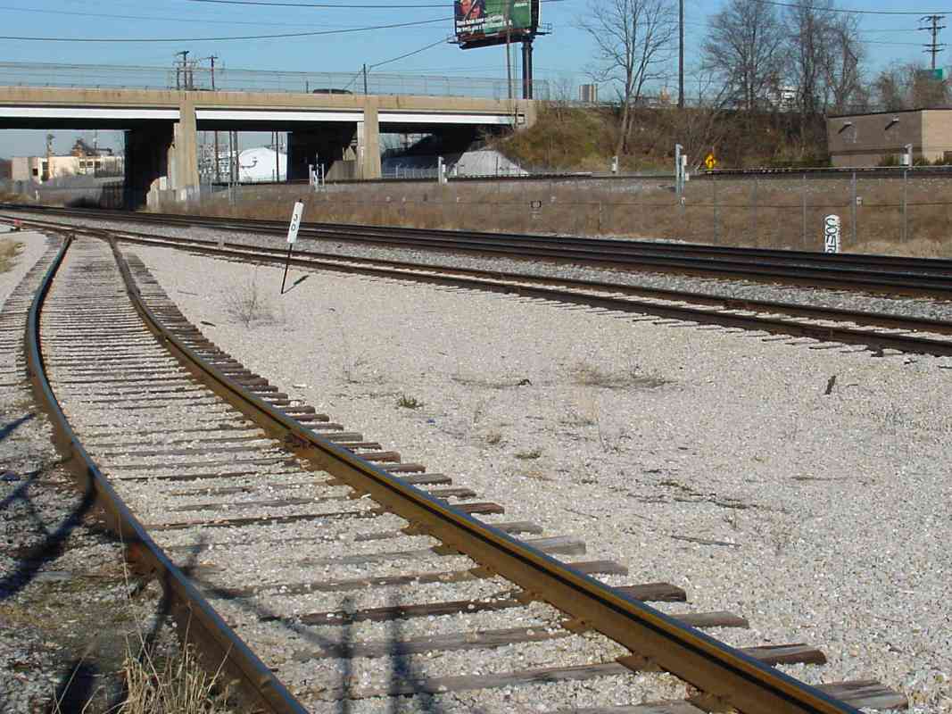
This is a reverse-to-tour-direction view of the Cap's last CPLs.

This CPL demonstrates why roundels have visors. Without a visor, sunlight can create the illusion of illumination. This whole signal would be replaced before the missing visor was.

Link: CPL removal here 2020


Triple Culvert

Triple Culvert
Mile: 29.3 Date: Aug 2019
Ease: B View: E
Area: B IC2:
Map: PG 7 H 7 Topographic Maps

This triple culvert southwest of the station handles overflows via a unique center smaller pipe higher up. This concrete structure dates to 1963 when Prince George's County channelled many of its streams. This might have replaced an original B&O box culvert or stone arch.


CSX 3190

CSX 3190
Mile: 29.9 Date: Aug 2018
Ease: B+ View: NE
Area: B IC2:
Map: PG 7 G 9 Topographic Maps

safety stand CSX 3190 and CSX 5205 roll past a disconnected siding that leads to a Washington Post printing facility behind the photographer, in fact the track goes right into the building. The siding's other end was still connected to the main at photo time.

At left is a Bethlehem Steel Co Mainline Safety Stand that controls a derail. On the right is the site of B&O's Branchville Station, originally known as Scaggs Crossing Station.


Color Surprise

Color Surprise
Mile: 29.9 Date: Aug 2018
Ease: B+ View: E
Area: B IC2:
Map: PG 7 G 9 Topographic Maps

Everyone knows signal colors are red... tangerine... blue? Since incandescent bulbs glow yellowish, signal lenses are tinted so the resulting light is the common red, amber, green. This disused signal is no longer extant.


Marker 30

Marker 30
Mile: 30.0 Date: Dec 2003
Ease: B View: NE
Area: B IC2:
Map: PG 7 G 9 Topographic Maps

Mile 30 features both a modern and stone marker. That's the overpass of Greenbelt Road, MD 193, ahead. Flowing beneath the photographer, and the railroads, is a stream that was sewered to make room for a parking lot at Washington Post's facility.

A B&O spur curved to the right during the 1870s to serve a poudrette factory. Poudrette was fertilizer made from "night soil" (human waste).

Links: removal of night soil, 2005


Six Tracks Wide
NEW! late-Nov 2025

Six Tracks Wide
Mile: 30.2 Date: Aug 2019
Ease: B+ View: NE
Area: B IC2: 315
Map: PG 7 G 10 Topographic Maps

Both CSX and Metro have three tracks apiece between Branchville and Berwyn, though the leftmost one was out of service at photo time. Berwyn Station stood directly beneath the photographer.


Berwyn Station
Photo courtesy B&O History Collection
NEW! late-Nov 2025

Berwyn Station
Mile: 30.2 Date: 1970s
Ease: A- View: S
Area: B IC2:
Map: PG 7 G 10 Topographic Maps

Originally called Charlton Heights Station, B&O's Berwyn Station had been found in the northeast quadrant of the grade crossing at Waugh Avenue, now named Berwyn Road. MARC commuter trains stopped at Berwyn until 1994.

The walkway support pole of the photo below marks the station site.

Link: 1961


Berwyn

Berwyn
Mile: 30.2 Date: Nov 2003
Ease: A- View: NE
Area: B IC2:
Map: PG 7 G 10 Topographic Maps

The former MARC Berwyn station has been reduced to just a walkway thanks to the addition of a DC Metro stop (Green Line) not far away. One segment of the walkway was accidentally destroyed during the 2015/2016 addition of a third track for Metro. Berwyn Road's grade crossing closed in 1942 when the Branchville (now Greenbelt) Road bridge opened.

An approaching Metro train, distant headlights shining brightly, has just passed under Greenbelt Road.

Links: 1971, grade crossing


Straightaway

Straightaway
Mile: 30.2 Date: Aug 2019
Ease: B+ View: S
Area: B IC2:
Map: PG 7 G 10 Topographic Maps

On the right, the Washington Branch starts a 3.5 mile straight run, its longest.

On the left, Metro meanders to College Park Station, then ascends to curve over the Washington Branch. I believe its nearest track stages trains for the morning commute.

Farther left, the Washington, Spa Spring & Gretta Railroad streetcar line ran during the early 20th century.

Link: WSSGRR history


Anacostia Tributary Trail
NEW! late-Nov 2025

Anacostia Tributary Trail
Mile: 30.9 Date: Aug 2019
Ease: B View: W
Area: B- IC2:
Map: PG 7 F 11 Topographic Maps

A spur of the trail system around Lake Artemesia sneaks under both rail lines. Signage does not distinguish between the two (Metro's is the closer overpass).


Paint Branch

Paint Branch
Mile: 30.9 Date: Nov 2003
Ease: B- View: S
Area: B- IC2:
Map: PG 7 F 11 Topographic Maps

Aug 2019 Both the Washington Branch and Metro's Green Line cross over Paint Branch stream here. The water level is but 10 feet beneath the track level, which tells me the stream rarely has high floods. During the 1800s, water for steam engines was available here.

The original parts of the stone bridge supports are of differing heights, indication that in the past a different bridge graced this location. According to Harwood, originally the span was wooden, but perhaps as early as 1839 an iron bridge was employed. If so, it would have been the first iron bridge in the country.

Link: 2012


B&O 5599
Photo courtesy B&O History Collection

B&O 5599
Mile: 31.0 Date: Feb 1949
Ease: B- View: NE
Area: B- IC2:
Map: PG 7 F 11 Topographic Maps

Consumer-level color film overlapped with revenue-service B&O steam locomotives for only a brief period.

The pole shingle at right displays 30/60, which translates as the 60th pole railroad-west of milepost 30. Where poles were heavily loaded with wires, 60 were planted per mile. Fewer wires followed the Old Main Line, where there were only 40 poles needed per mile. Other stretches had just 30 per mile.


B&O 967
Photo courtesy B&O History Collection

B&O 967
Mile: 31.0 Date: Mar 1953
Ease: B- View: N
Area: B- IC2:
Map: PG 7 F 11 Topographic Maps

Diesels supplanted steam along the Washington Branch by 1953. The S sign designates one end of a track mile measured with sufficient accuracy to assist speedometer calibration. Another S sign is found at milepost 32.

The object at photo bottom looks very much like an uprooted B&O milestone, and indeed at one time milestone 31 stood in this vicinity. Comparison of the uneven edges of this object with those of the now-displaced milestone 31 suggest this object is not that milestone.


<< Previous (east) | THIS PAGE: Greenbelt to Berwyn | Next (west) >>

Or, return to main page

Copyright Notice