|
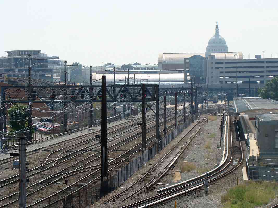
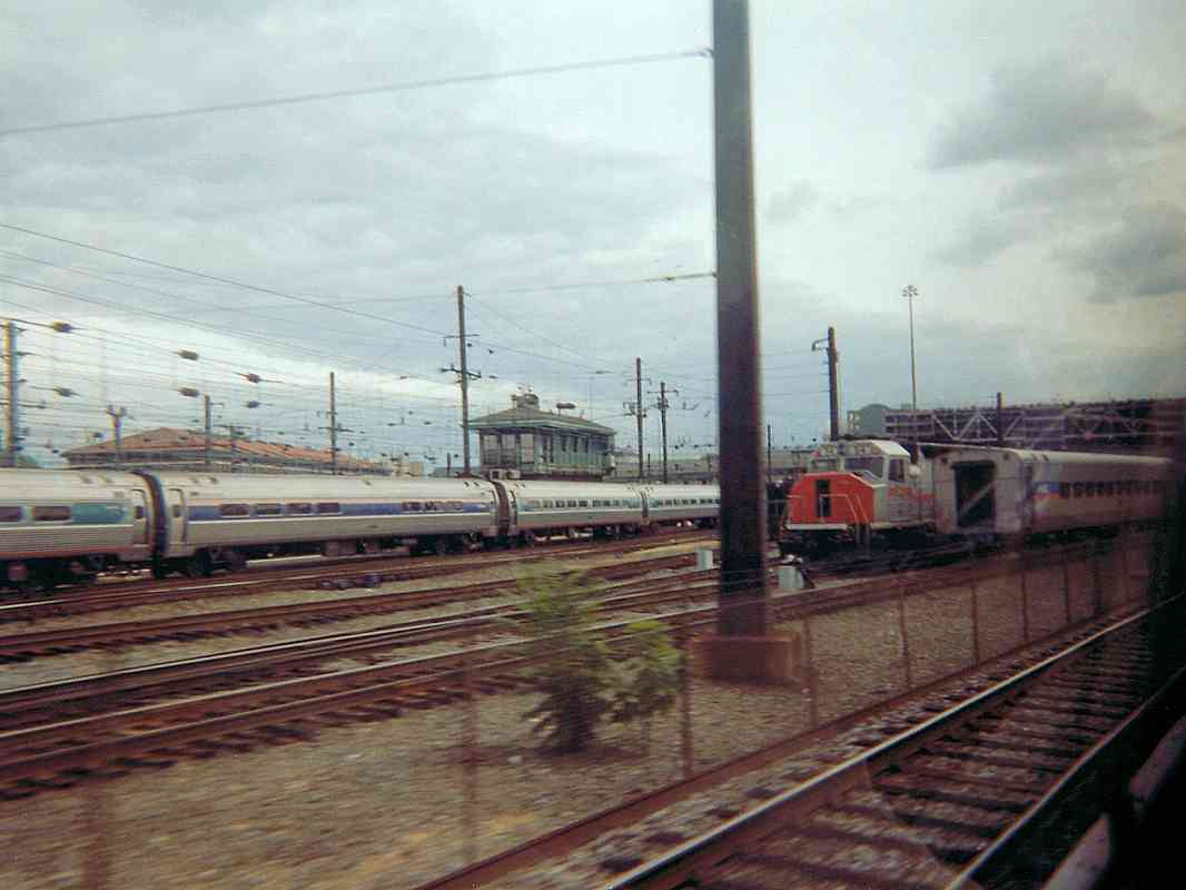
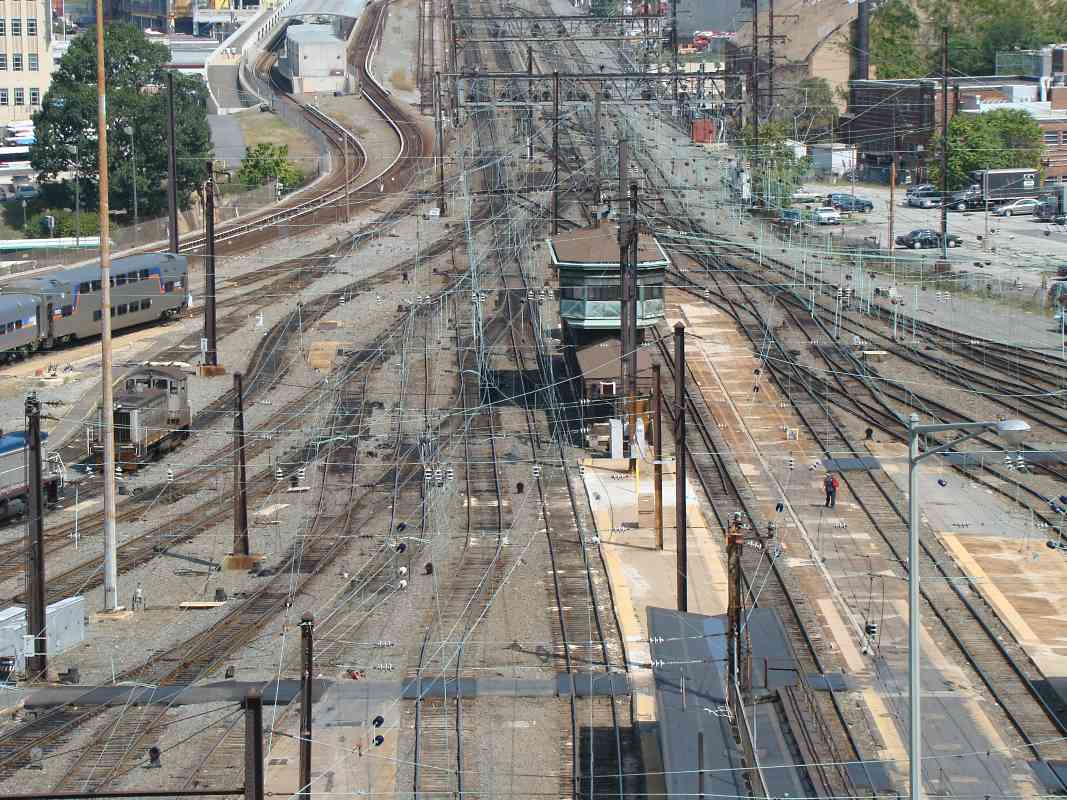
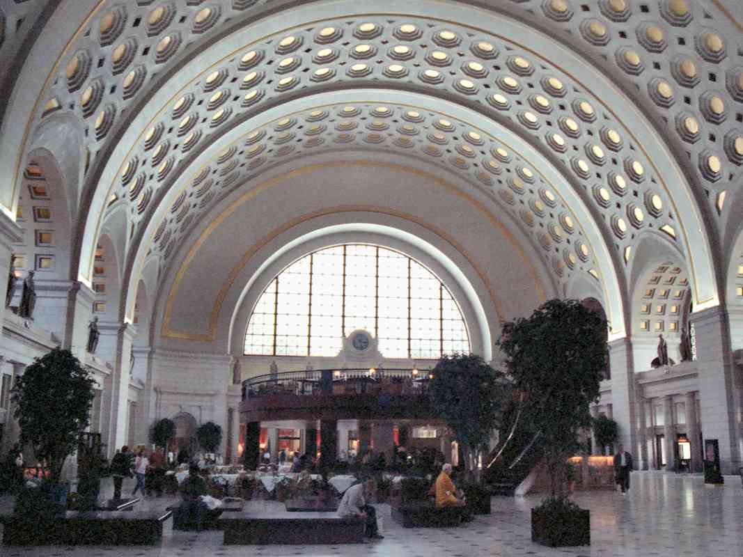
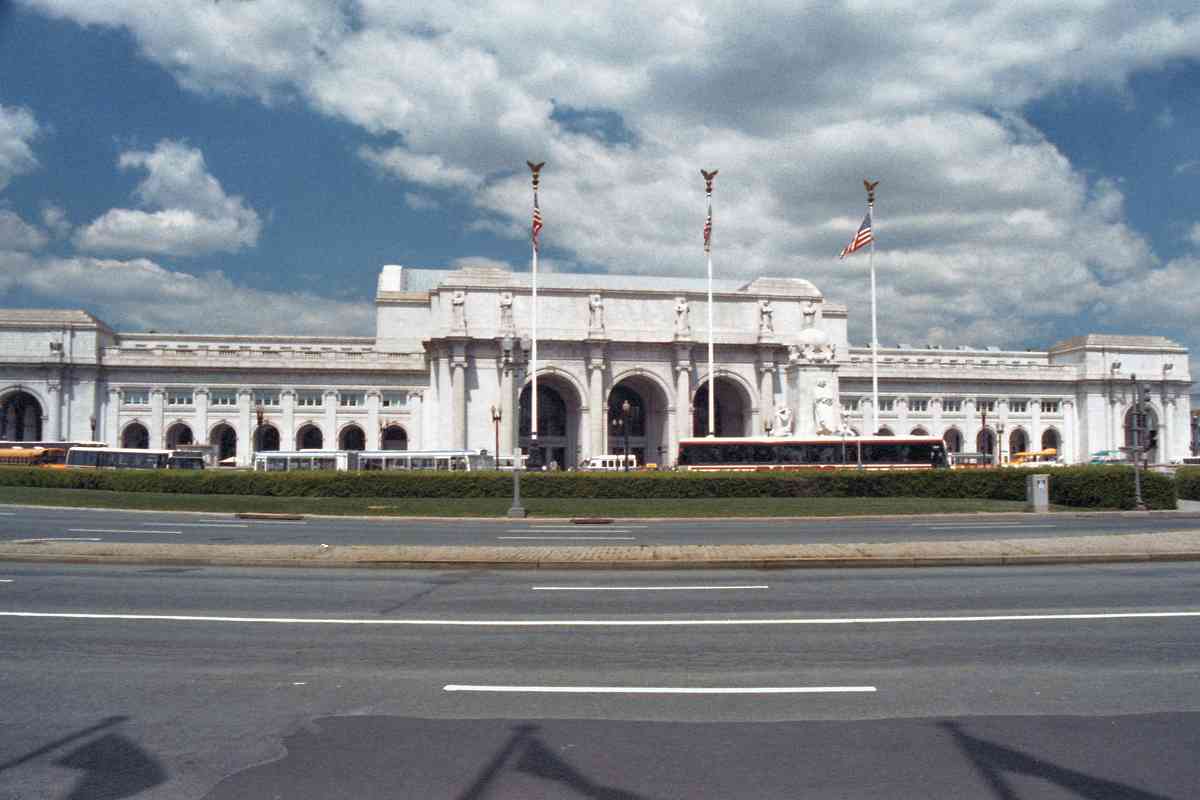
Union Station in Washington, DC is the end of the line for
B&O's Washington Branch. Had this photo been snapped 150 years
earlier, B&O's stone twin arch bridge over a Tiber Creek tributary
would have been visible near the base of the future flagpoles.
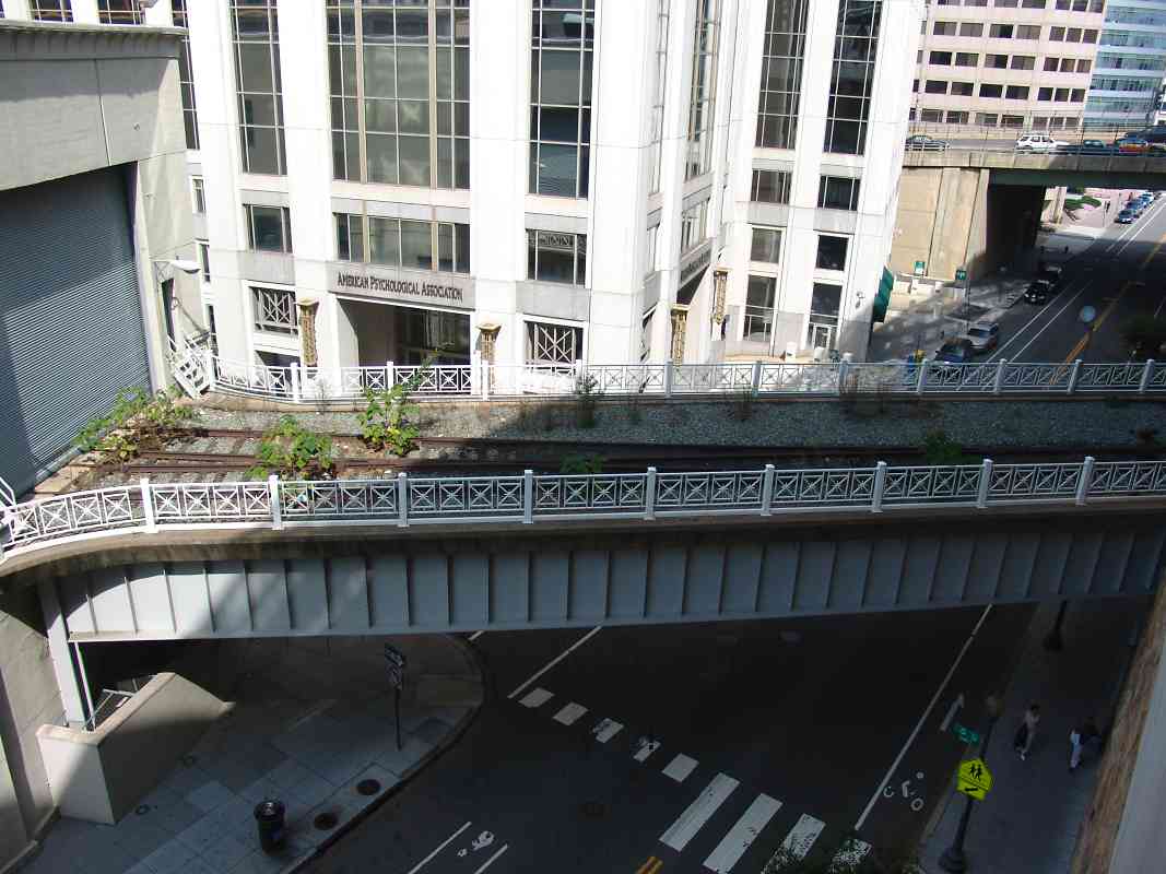
Tiber Creek has been sequestered below the west side of the yard
behind Union Station.
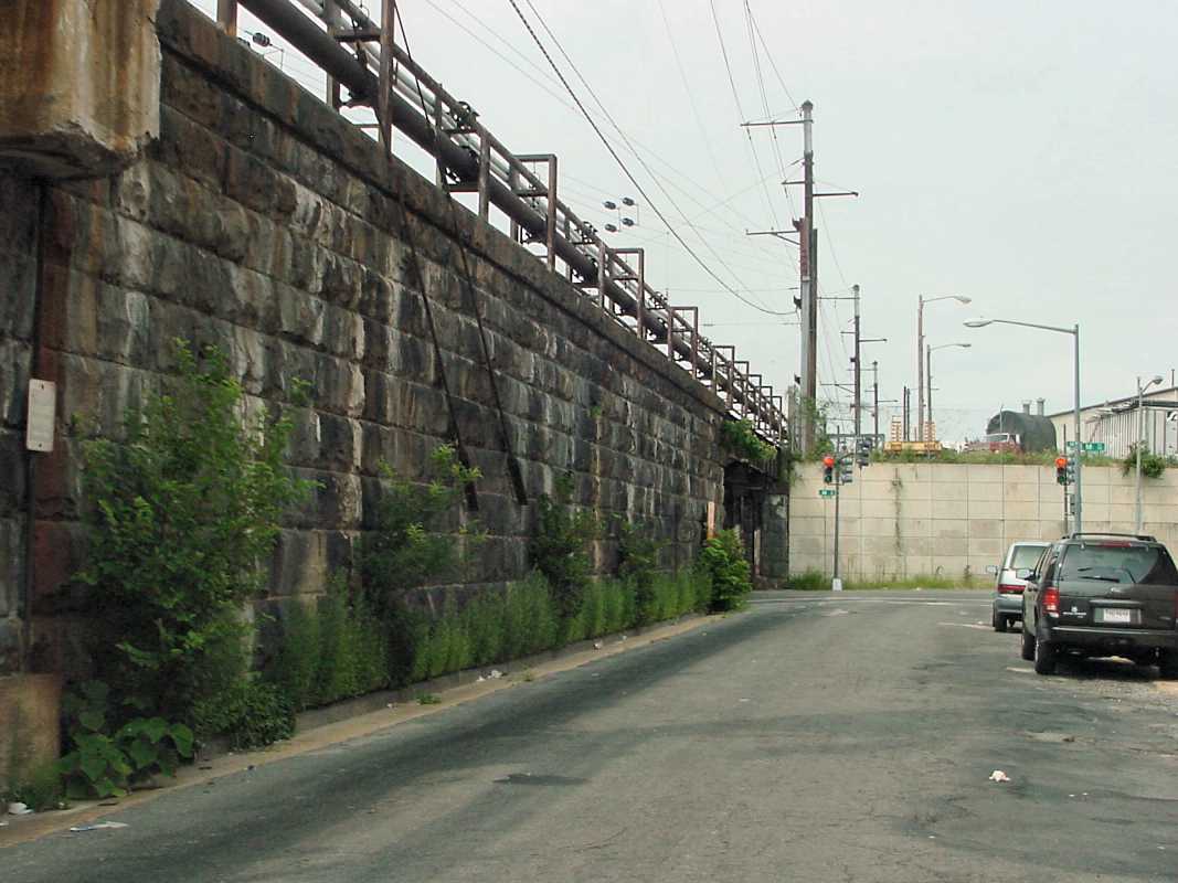
After years of neglect, during the 1980s
the station was restored to its original glory. Fortunately,
the grand structure was recognized for its place in history
before it could be demolished and replaced. This was where the
Pennsylvania Railroad, Baltimore and Ohio Railroad, Southern Railway
and others met to exchange passengers in the heyday of rail travel.
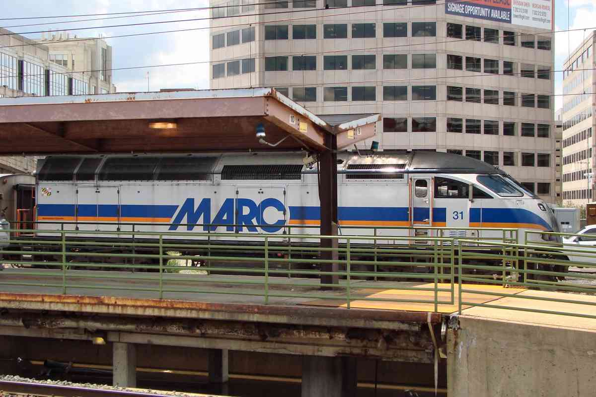
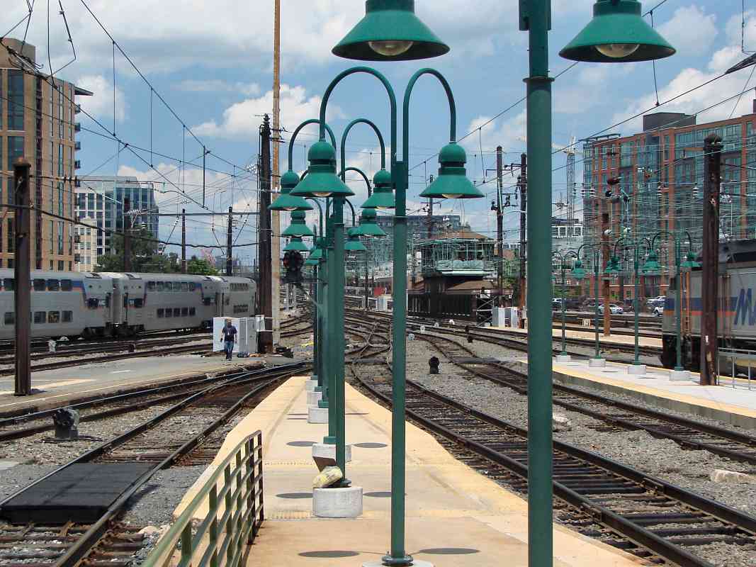
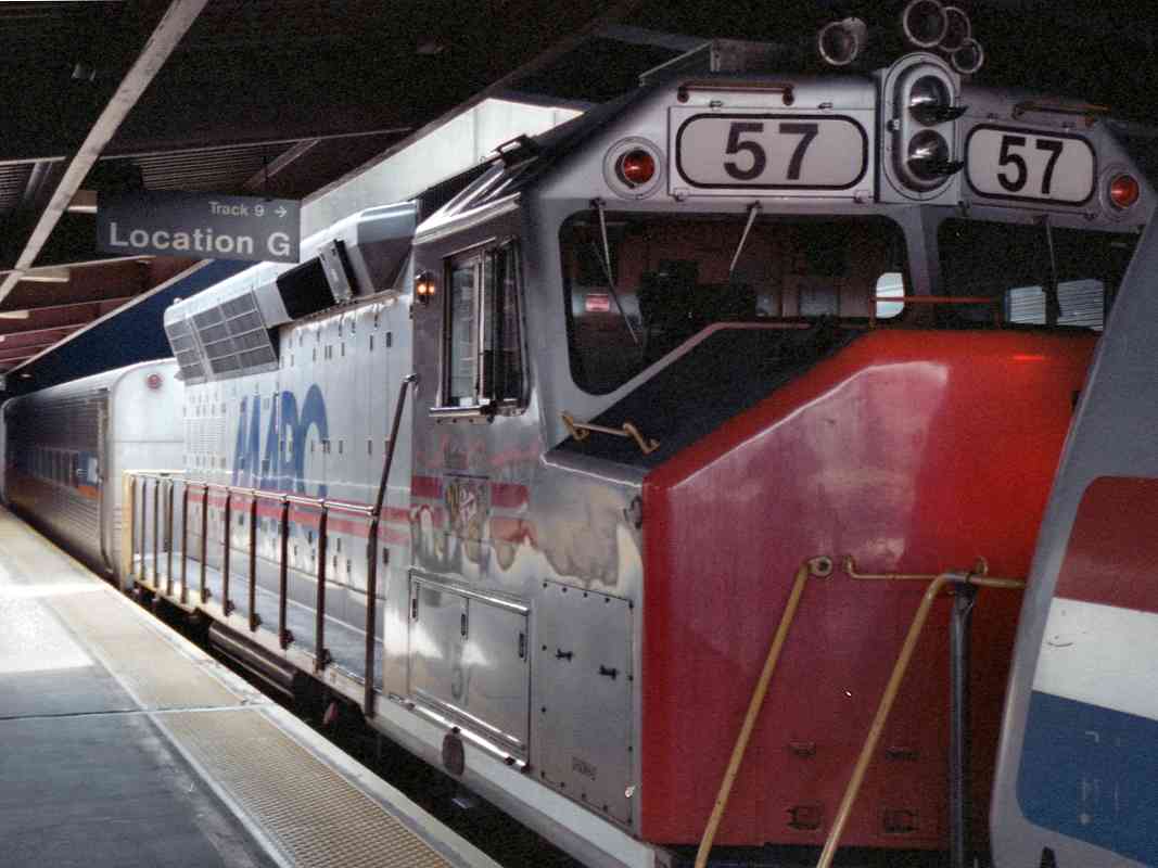
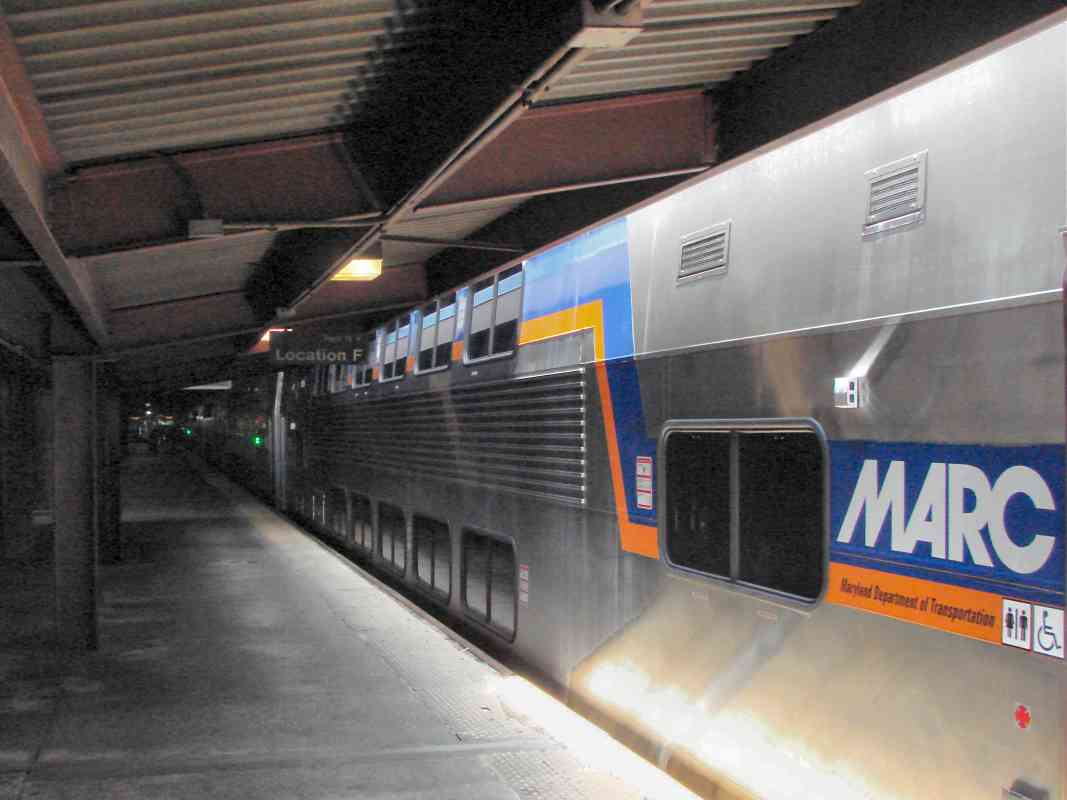
These days, it remains an important station for train travel.
Links:
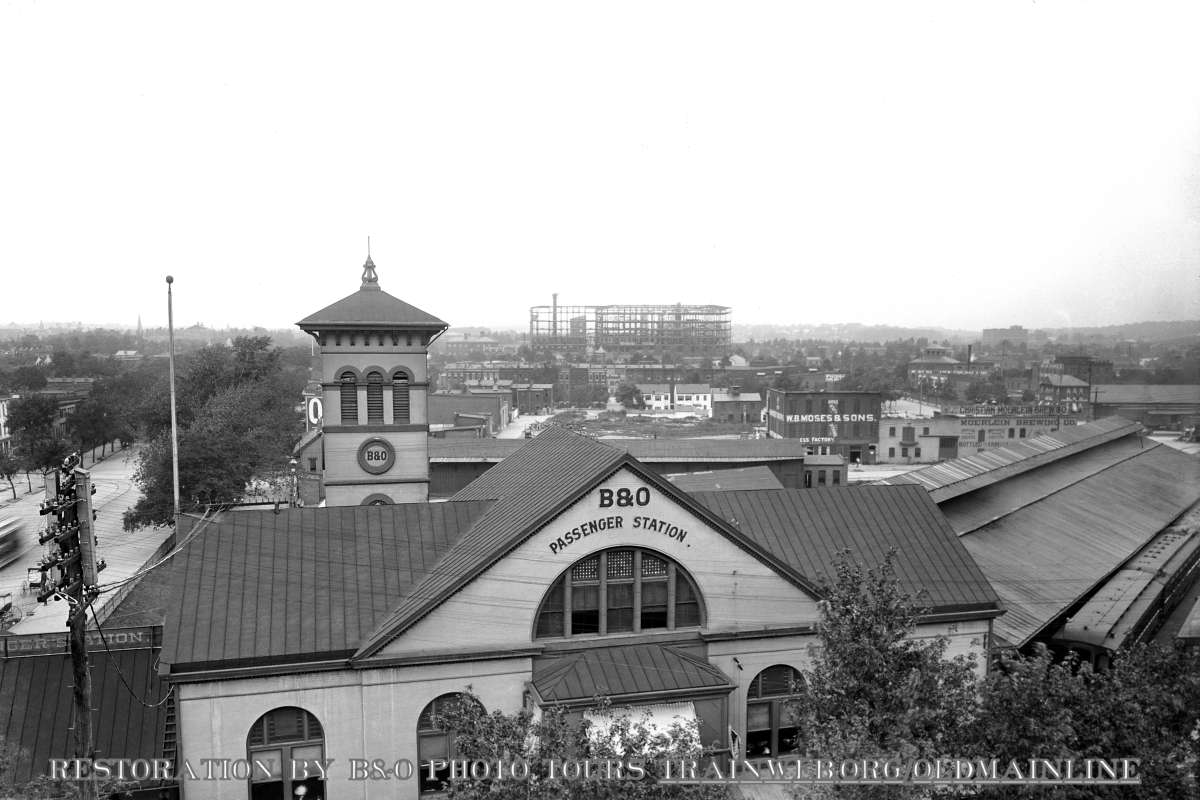
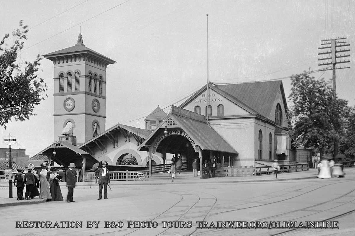
1908,
restoration photos
| 


