TrainWeb.org Facebook Page
B&O Washington Branch Photo Tour


B&O Washington Branch
Modern day photo tour

Accompanying each photo below are:

Click a photo to see a larger view. Please send your comments and corrections to Steve.


East Dorsey - Brief Historical Background:

Parkway Center Spur

Parkway Center Spur
Mile: 12.7 Date: Sep 2003
Ease: B View: SW
Area: B IC2:
Map: Ho 17 E 11, AA 1 C 11 Topographic Maps

This 2003 photo shows the Parkway Center spur while it was still connected to the main line. The overpass in the distance is that of MD 100. This spur is not marked on the ADC maps even though it is fairly long and contains many sidings.

Reader Steve Schwemmer wrote:

    "I have enjoyed your OML tour and the DC branch tour, having visted your website for the first time. Like many train buffs, I take walks along the tracks to relax and reflect on history, technology, and family (spiritual ties to grandfather who was a Pennsy engineer). Anyway, I have worked in the Parkway Industrial Park since August of 1993, and have explored all of the tracks within and nearby. I think it was sometime in 94 or 95 when a full sized loco pulled onto the spur and attempted to grab some old box cars behind 7270 Park Circle. I could here squealing, scraping and the ground shaking as it tried to make all of the tight curves and rusty switches thru the industrial park. I believe it actually derailed at the Park Circle crossing, which was rebuilt a few days later. Not long after that, the box cars were replaced with 2 vintage passenger and a mail car. These are being very slowly restored by possibly only one gentleman, and I have seen no locomotive action since. However, if the restored cars are to ever leave, some type of engine or tractor will need to amble up the tracks one last time. Thought you might find this tidbit interesting."


Disconnect
Photo courtesy Dave Hiteshew

Disconnect
Mile: 12.7 Date: May 2008
Ease: B View: SW
Area: B IC2:
Map: Ho 17 E 11, AA 1 C 11 Topographic Maps

The spur was disconnected in 2006 after the removal of the private railcars mentioned above. More about this further below.


Spur Start

Spur Start
Mile: 12.8, spur 0.0 Date: Sep 2003
Ease: B View: S
Area: B IC2:
Map: Ho 17 E 12, AA 1 C 11 Topographic Maps

During my 2003 visit, two rusting hopper cars blocked the beginning of the spur. The plant overgrowth indicates this route had seen little train action for quite some time.


Slag
Photo courtesy Dave Hiteshew

Slag
Mile: 12.8, spur 0.1 Date: May 2008
Ease: B View: SE
Area: B IC2:
Map: Ho 17 E 12, AA 1 C 11 Topographic Maps

The track ballast dropped by B&O along all the area spurs built in the 1960s resembles volcanic pumice stone. The stones are lighter than what is used along the main line; I suspect they are slag, which is a by-product of ore smelting.

When this spur was built, B&O had been acquired by C&O but had not yet been merged to form the Chessie System.


Frog
Photo courtesy Dave Hiteshew

Frog
Mile: 12.8, spur 0.3 Date: May 2008
Ease: B View: SE
Area: B IC2:
Map: Ho 17 E 12, AA 1 C 12 Topographic Maps

A very short siding is sandwiched between the start and Coca Cola Drive in the distance. The X where the tracks meet is called a frog. Frogs are often made of cast manganese.


Clasp
Photo courtesy Dave Hiteshew

Clasp
Mile: 12.8, spur 0.4 Date: May 2008
Ease: B View: N
Area: B IC2:
Map: Ho 17 E 12, AA 1 C 12 Topographic Maps

Photographer Dave found several of these unusual clasps taking the place of nails. I suspect their use has something to do with either the nearby siding switch or the jointed rail that makes up this spur.


Crossing
Photo courtesy Dave Hiteshew

Crossing
Mile: 12.8, spur 0.6 Date: May 2008
Ease: A View: SE
Area: B IC2:
Map: Ho 17 F 12, AA 1 C 12 Topographic Maps

Irony: beverage containers discarded by slobs litter the grade crossing at Coca Cola Drive.

This grade crossing was used so infrequently, the only RR crossing signs are ones painted onto the pavement.


Deep Run
Photo courtesy Dave Hiteshew

Deep Run
Mile: 12.8, spur 0.6 Date: May 2008
Ease: B View: E
Area: B IC2:
Map: Ho 17 F 12, AA 1 D 12 Topographic Maps

The swingin' sixties had no time for stone arch bridges. Deep below, a 5-foot diameter piped culvert lets Deep Run flow under the spur. At this location, Deep Run marks the boundary between Howard and Anne Arundel counties.


Washout
Photo courtesy Dan Verbus
NEW! Apr 2016

Washout
Mile: 12.8, spur 0.6 Date: Mar 2016
Ease: B View: NW
Area: B IC2:
Map: AA 1 D 12, Ho 17 F 12 Topographic Maps

Deep Run ran a bit too much. CSX got out while the getting was good: before they would have had to repair this.


bridge
Updated Apr 2016

Bridge
Mile: 12.8, spur 0.7 Date: Jul 1999
Ease: B View: NW
Area: A IC2:
Map: AA 1 D 12, Ho 17 F 12 Topographic Maps

Almost mile into the spur, in 1999 the timber of the bridge over Race Road appeared in good condition, but the rails were rusty.

Dan Verbus reports that as of March 2016 this bridge has been removed for scrap.


Hilly
Photo courtesy Dave Hiteshew

Hilly
Mile: 12.8, spur 0.7 Date: May 2008
Ease: B View: NW
Area: B IC2:
Map: AA 1 D 12, Ho 17 F 12 Topographic Maps

A zoom shot back to the main line reveals the hills traversed.


Race Road
Photo courtesy Dave Hiteshew

Race Road
Mile: 12.8, spur 0.7 Date: May 2008
Ease: A View: SW
Area: B IC2:
Map: AA 1 D 12, Ho 17 F 12 Topographic Maps

Before MD 100 severed its connection south, Race Road had been busy enough to warrant grade separation. Race Road had been named Mill Race Road thanks to a mill in nearby Dorsey.


13/2
Photo courtesy Dave Hiteshew

13/2
Mile: 12.8, spur 0.7 Date: May 2008
Ease: B View: SW
Area: B IC2:
Map: AA 1 D 12, Ho 17 F 12 Topographic Maps

Bridges are numbered so they can be identified for maintenance, but I'm stumped by the digits assigned the Race Road bridge. Is 13/2 a fancy way of saying 0.65 miles into the spur? My measurements place it closer to 0.75.

The metal circles nailed into the ends of the ties identify those designed for special purposes, such as atop a bridge where thicker ties are typically employed.

The tenacious dandelion at bottom right illustrates why their breed is tough to eliminate from a nice, comfy lawn.


1965
Photo courtesy Dave Hiteshew

1965
Mile: 12.8, spur 0.7 Date: May 2008
Ease: B View: SW
Area: B IC2:
Map: AA 1 D 12, Ho 17 F 12 Topographic Maps

The gratuitous numbering department also saw fit to embed the construction year into the concrete abutment. I'm happy it's there, of course, but other than to please railfans what purpose does it serve? Many interstate bridges are similarly dated. All I can think of is it's 1) a matter of pride, and 2) in case the paper records are lost, at least we know how old the thing is (and therefore when it might need overhaul).


Spurlet
Photo courtesy Dave Hiteshew

Spurlet
Mile: 12.8, spur 0.8 Date: May 2008
Ease: B View: SE
Area: B IC2:
Map: AA 1 D 12, Ho 17 F 13 Topographic Maps

Is a small spur of a spur a spurlet? Whatever it is, it curves south to serve businesses along Parkway Drive.

Anyone know what the tower in the distance is?


Sycamore
Photo courtesy Dave Hiteshew

Sycamore
Mile: 12.8, spur 0.8 Date: May 2008
Ease: B View: S
Area: B IC2:
Map: AA 1 D 12, Ho 17 F 13 Topographic Maps

With the possible exception of a monorail, I'm thinking no train has passed here for several years. Just a guess.


Park Circle
Photo courtesy Dave Hiteshew

Park Circle
Mile: 12.8, spur 1.0 Date: May 2008
Ease: A View: NE
Area: B IC2:
Map: AA 1 D 12, Ho 17 G 12 Topographic Maps

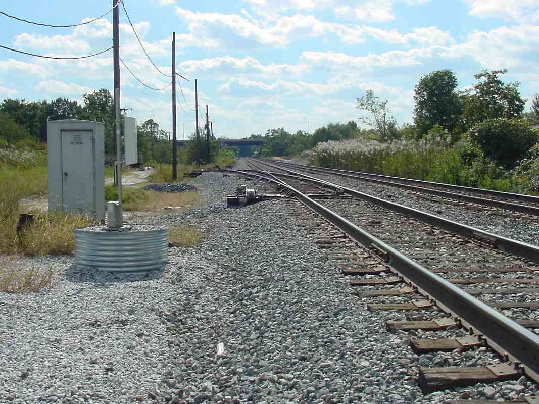
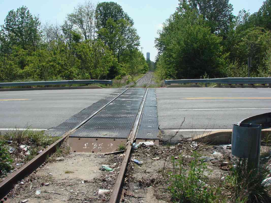
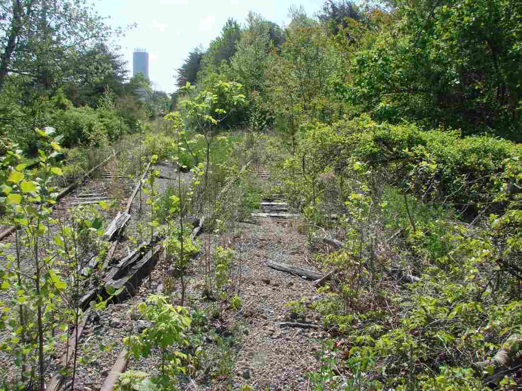
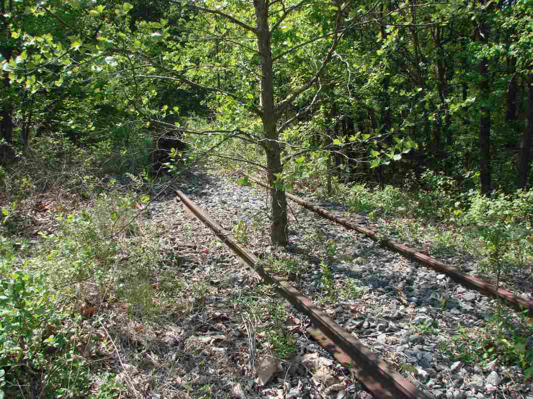
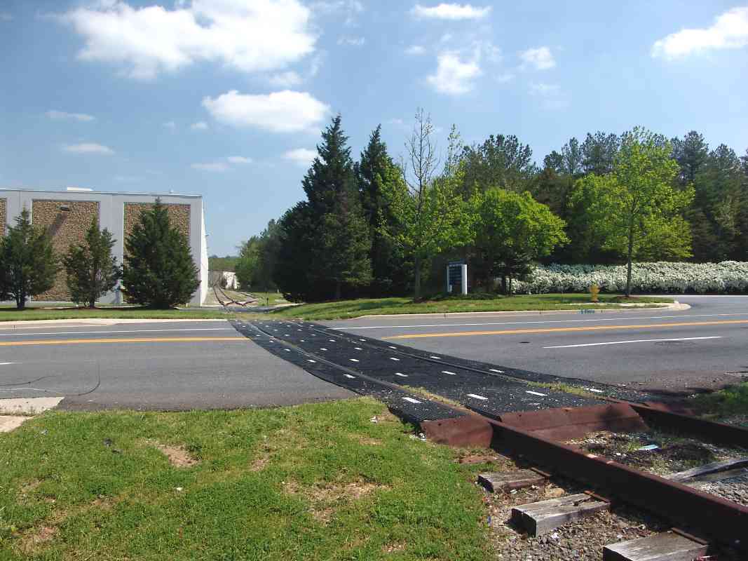
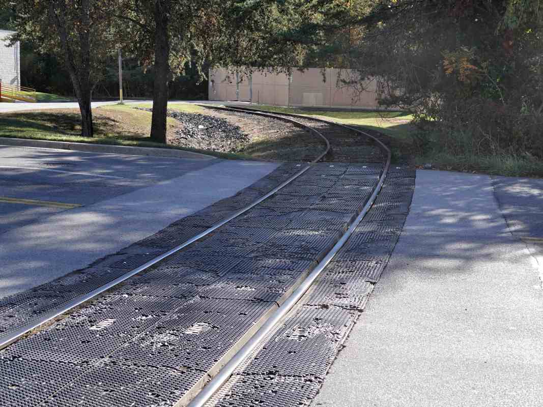
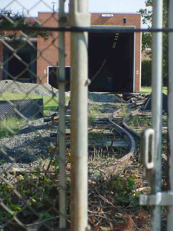
Of the many sidings and branches within Parkway Center, this one at Park Circle Drive was the last to see train activity. The white dashes on the grade crossing material are actually the word PARKCO, presumably the manufacturer.

Back in 2006 reader Bob McCown explained:

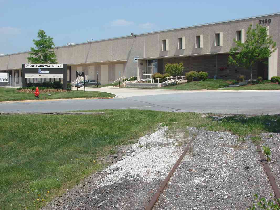
    "Hi Steve....you may recall when I wrote earlier, it was my passenger cars and express box car stored at the warehouse at 7270 Park Circle, on what I am told by CSX is the East Dorsey Industrial Track. I had been paying a maintenance fee through the industrial park to maintain the Sidetrack Agreement with CSX. Nothing moved on the branch, or needed to move, until January, 2005, when I purchased a former Amtrak Material Handling Car #1470. After extensive correspondence, CSX finally move the car up the branch and to my siding in about March, 2005. A month or two later CSX notified the industrial park they were exercising their unilateral right to terminate the siding agreement 
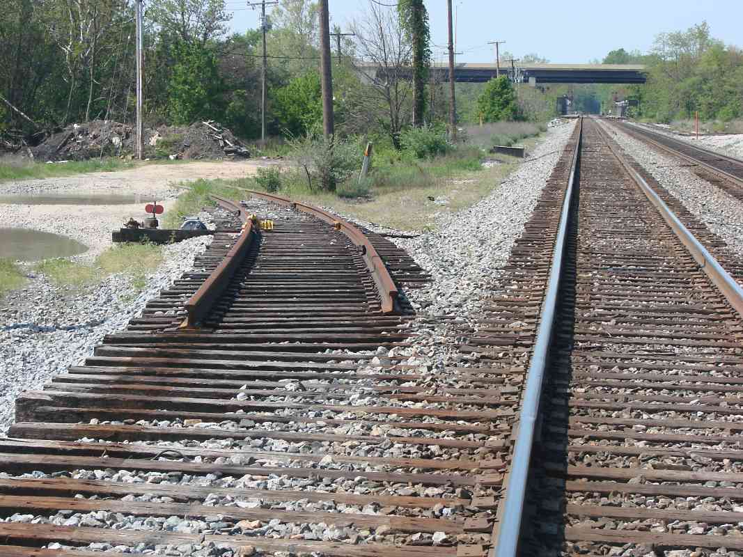
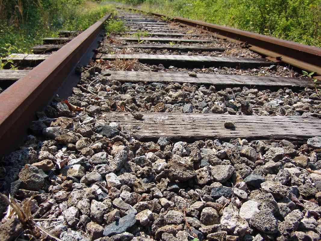
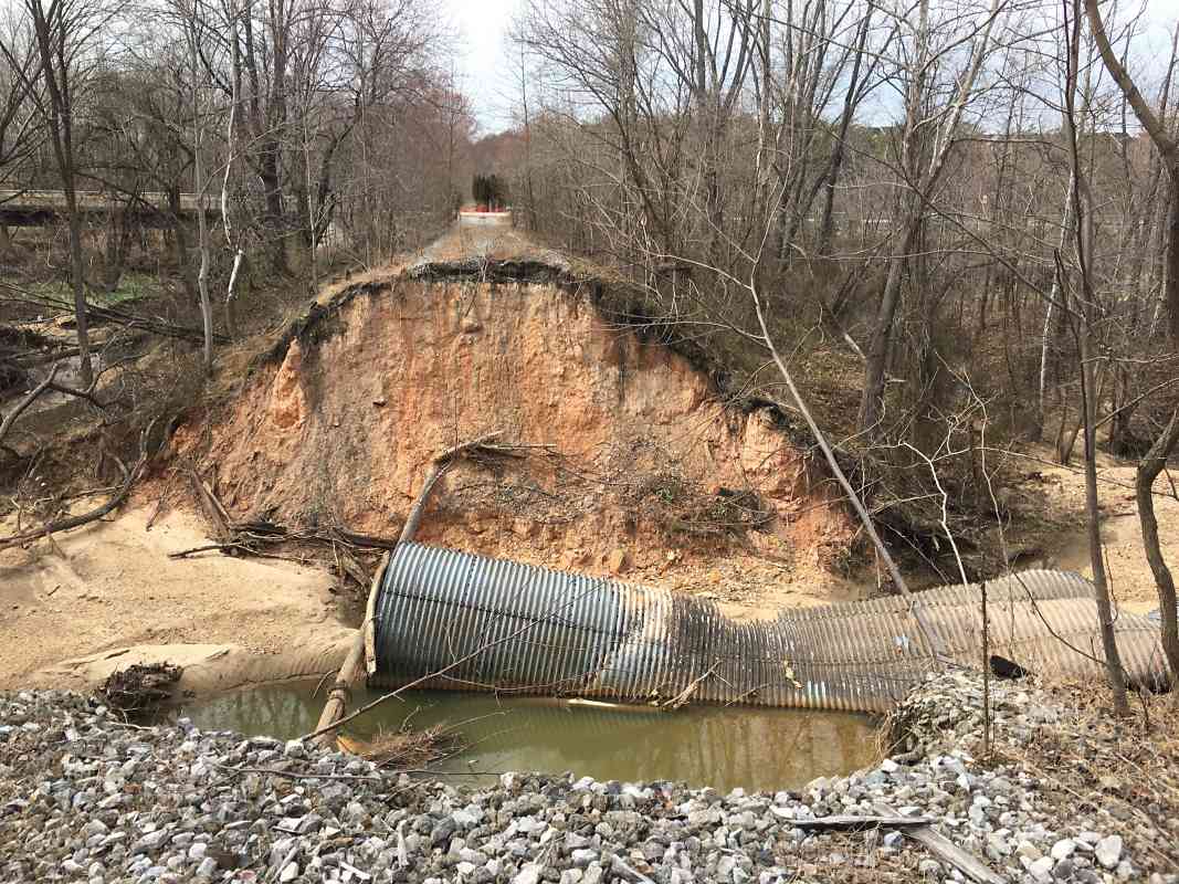
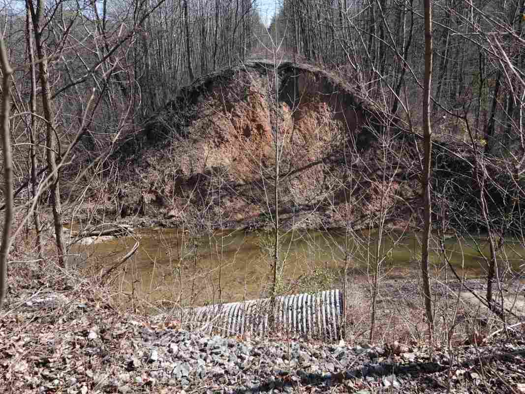
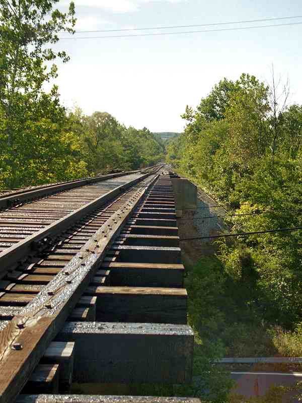
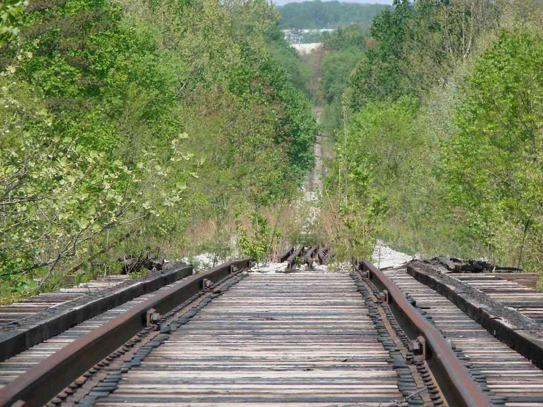
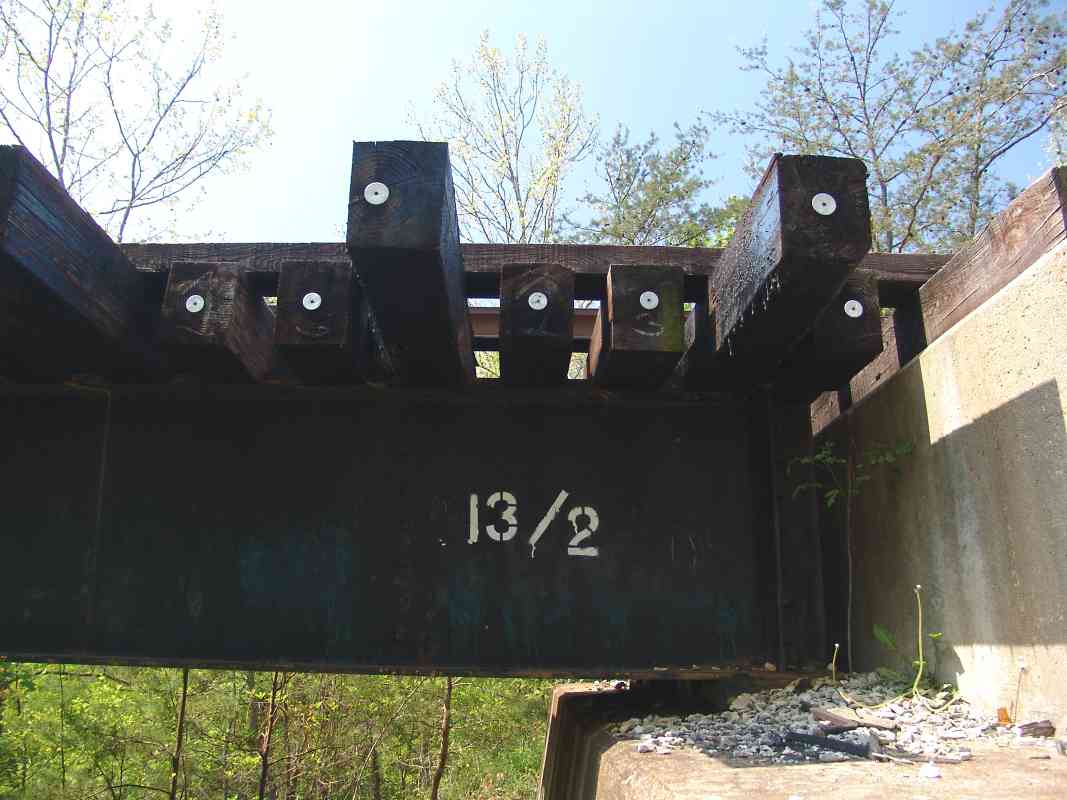
effective September 30, 2005. Since the one mile of the track to the main line has steep grades, a two span bridge (you have pictures) and what is now a very-heavily used four lane grade crossing, I could not argue that my use justified their continuing responsibility for the track.

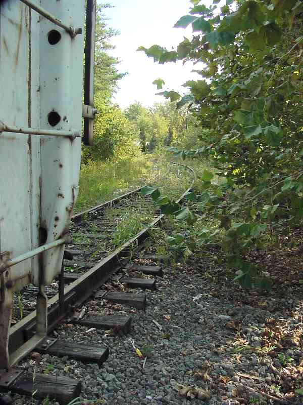
    "Accordingly, I did all the air work etc etc to make my train movable, and after various inspections a crew came up the branch on Sunday morning, March 26, 2006 and pulled all the cars out and over to Jessup. Backing down the branch the train consisted of a 10-6 sleeper (Silver Channel), my baggage dorm 782, my ex-Army Ambulance car, the two express box cars, and a GP-40 -- quite a respectable express train.....Unfortunately, to my knowledge no one took pictures, and I was fully occupied with train arrangements..... The whole 'cleanout' train operation took less than two hours. I have been told that CSX will remove the main track switch shortly since there appears to be no prospect of worthwhile traffic on the branch. Letterkenny Arsenal was the nearest worthwhile location I could find for the cars, and after 6 trains over 5 days, they are now there."


Tips
Photo courtesy Dave Hiteshew

Tips
Mile: 12.8, spur 1.0 Date: May 2008
Ease: B View:
Area: B IC2:
Map: AA 1 D 12, Ho 17 G 13 Topographic Maps

Some frogs are equipped with special, harder alloys at the places of maximum friction and wear. Manganese is sometimes incorporated, and a side effect is rust retardation.


Dismantled
Photo courtesy Dan Verbus

Dismantled
Mile: 12.8, spur 1.0 Date: May 2013
Ease: A View: E
Area: B IC2:
Map: AA 1 D 12, Ho 17 G 13 Topographic Maps

Whatever it was, during May 2013 it -along with all the Parkway Center spur track- was dismantled by CSX.


Narrow Gauge

Narrow Gauge
Mile: 12.8, spur 1.0 Date: Sep 2003
Ease: A View: NE
Area: B+ IC2:
Map: AA 1 E 12, Ho 17 G 13 Topographic Maps

During the 2000s, the office park had been littered with disused sidings in various states of disrepair.

What are these seen here beyond the fence? O gauge?


End
Photo courtesy Dave Hiteshew

End
Mile: 12.8, spur 1.1 Date: May 2008
Ease: A View: N
Area: B IC2:
Map: AA 1 E 12, Ho 17 G 13 Topographic Maps

One of the spur's many segments ends without fanfare at 7190 Parkway Drive. The arrangement of warehouse doors suggests in the past they saw loading/unloading from railcars rather than trucks.

Though the Parkway Center spur is now dismantled, rising energy prices coupled with the efficiency of trains could one day bring it back to life.

On the next page, we'll resume at the spur's start at the Washington Branch main line.


Continue to the next page in this tour

Or, return to main page


Copyright Notice